HelpDesk
How to Draw Maps of Australia

Geo Map — Australia — New Zealand

Geo Map — South America Continent

Geo Map - Australia - Victoria

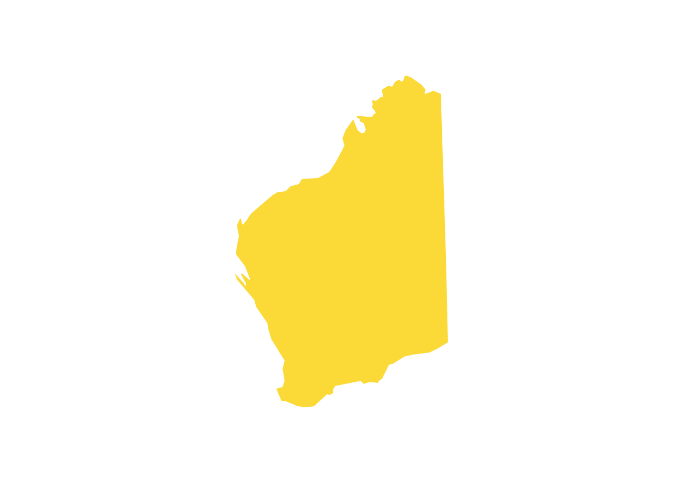
Geo Map - Australia - South Australia

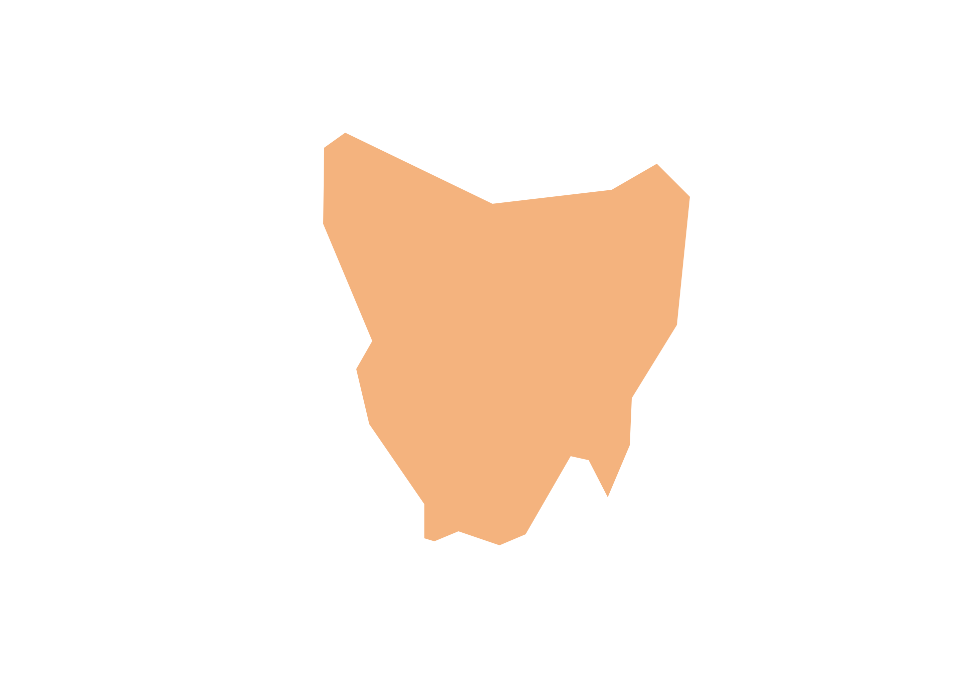
Geo Map - Australia - Tasmania
HelpDesk
How to Create a Map of Germany

 Australia Map
For graphic artists creating accurate maps of Australia. The Australia Map solution - allows designers to map Australia for their needs, offers a collection of scalable graphics representing the political geography of Australia, split into distinct state
Geo Map - Australia - New South Wales

Geo Map - Australia - Western Australia
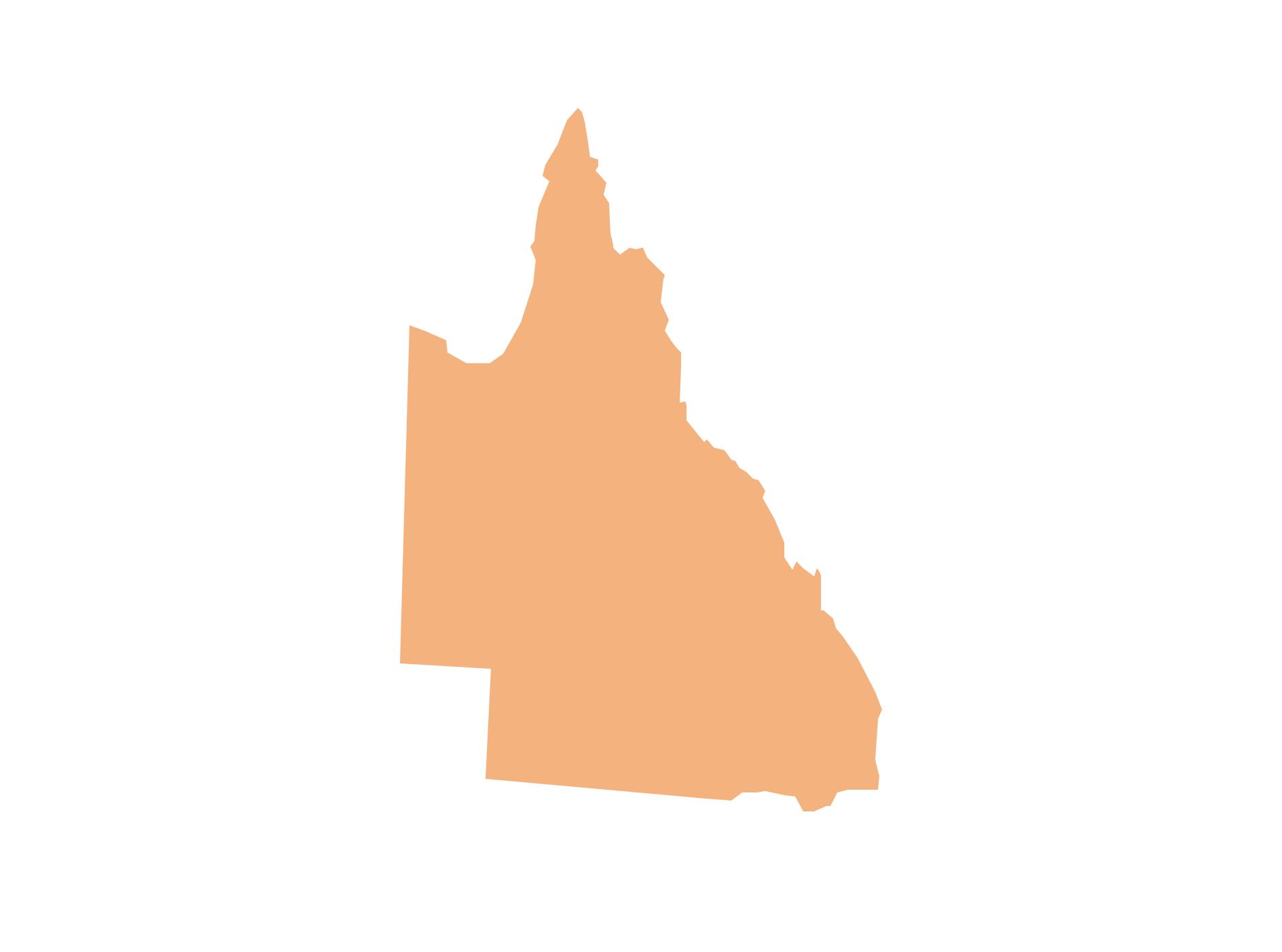
Geo Map - Australia - Queensland
Geo Map - Australia - Nothern Territory

Geo Map — United States of America Map

 Continent Maps
Continent Maps solution extends ConceptDraw DIAGRAM software with templates, samples and libraries of vector stencils for drawing the thematic maps of continents, state maps of USA and Australia.
Geo Map - Australia

Geo Map — Europe — Germany

Types of Map - Overview

Geo Map - South America - Honduras

Geo Map - South America - Bolivia

Geo Map - USA - West Virginia

- Australia Map | How to Draw Maps of Australia Using ConceptDraw ...
- How to Draw Maps of Australia Using ConceptDraw PRO | Geo Map ...
- Australia Map Clip Art
- Australia states time zones - Thematic map | How to Draw Maps of ...
- Continent Map Australia
- Geo Map - South America Continent | How to Draw a Map of North ...
- How to Draw a Map of North America Using ConceptDraw PRO ...
- Continents Map | Continent Maps | How to Draw a Map of North ...
- Australia Map Example
- How to Draw a Map of North America Using ConceptDraw PRO ...
- Geo Map - United States of America Map | How to Draw a Map of ...
- Map of USA with state names | Geo Map - United States of America ...
- Geo Map - Australia - Tasmania | Australia - Vector stencils library ...
- How to Draw a Map of USA States Using ConceptDraw PRO | Geo ...
- Geo Map - Australia - New Zealand
- Geo Map - South America Continent | Geo Map - Asia | Geo Map ...
- Geo Map - United States of America Map | Continent Maps | Map of ...
- Continent Maps | How to Draw a Map of North America Using ...
- Design elements - Thematic maps | How to Create a Map Depicting ...
- Benefit Corporation legislation - Thematic map | Ranks US states by ...