Geo Map - Africa - Tanzania

Geo Map - Africa - Kenya

Geo Map - South America - Haiti

Geo Map - Asia - Syria

Geo Map - Africa - Cameroon

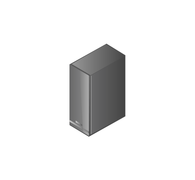
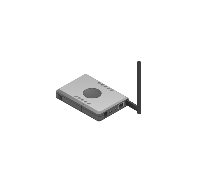
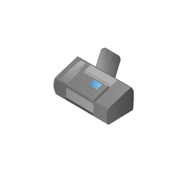
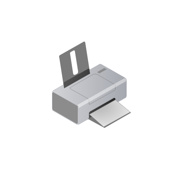
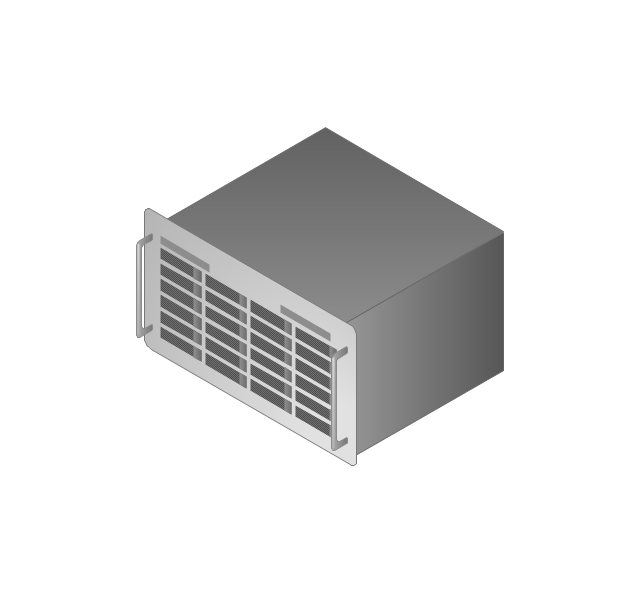
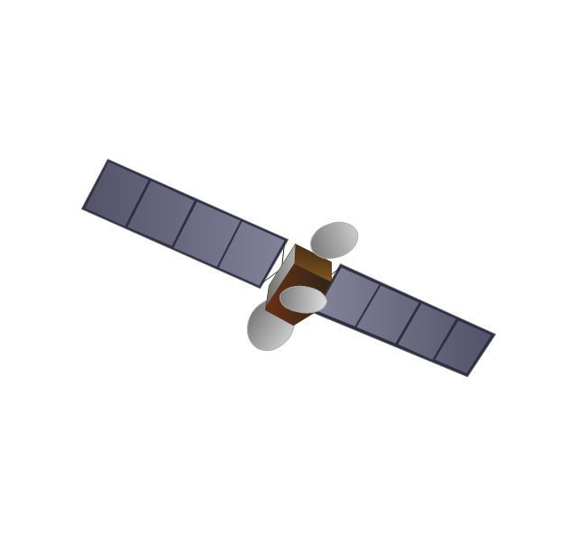
The vector stencils library "Computers and network isometric" contains 56 3D clipart images of computer and network devices and equipment for drawing network diagrams.
The clip art example "Computers and network isometric - Vector stencils library" was created using the ConceptDraw PRO diagramming and vector drawing software extended with the Computer and Networks solution from the Computer and Networks area of ConceptDraw Solution Park.
The clip art example "Computers and network isometric - Vector stencils library" was created using the ConceptDraw PRO diagramming and vector drawing software extended with the Computer and Networks solution from the Computer and Networks area of ConceptDraw Solution Park.
Laptop

DDCS

Server
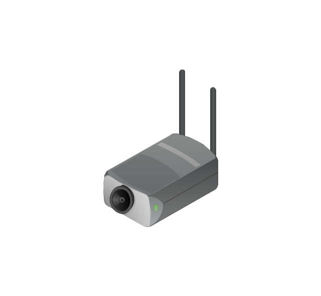
Webcam

Wireless Network Storage
Personal computer

VoIP phone

Fax
Plotter

Mobile phone

Feature phone

Printer
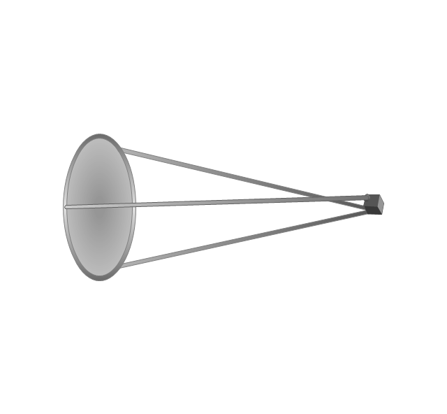
Satellite dish

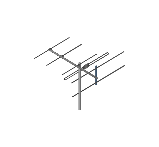
Satellite antenna
Automatic-tracking satellite dish
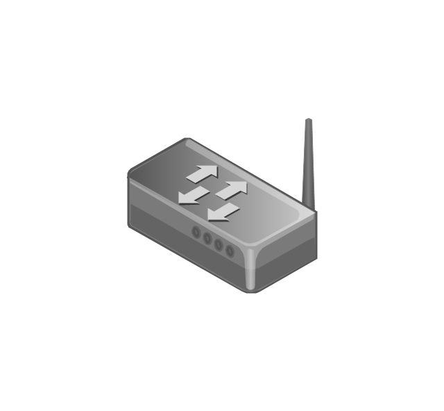
Wireless access point
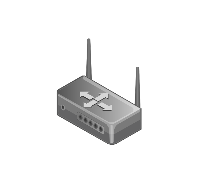
Wireless router
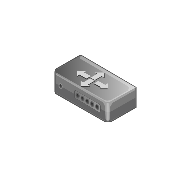
Router
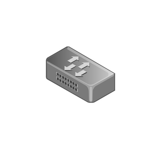
Network switch
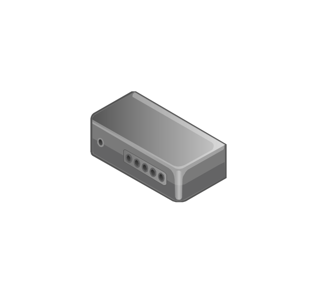
Network device
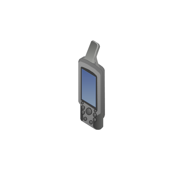
Mobile GPS Terminal
GPS phone
Television antenna
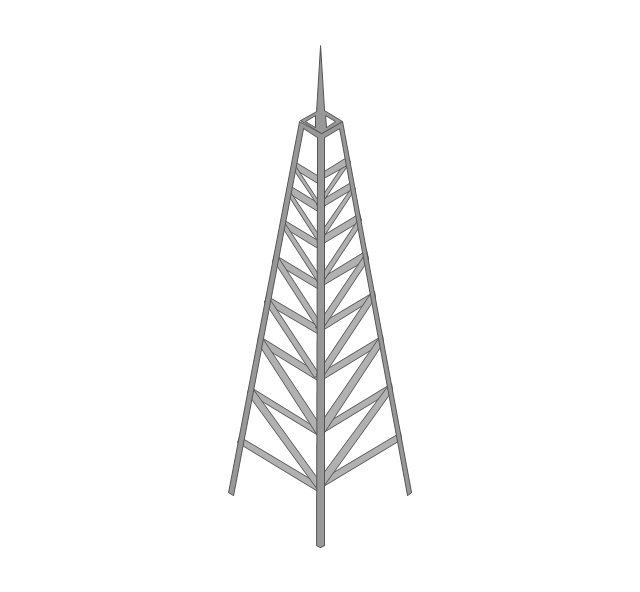
Radio tower
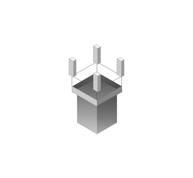
Base station
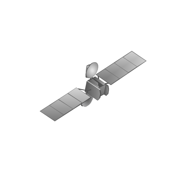
Satellite
In-vehicle satellite telecommunication

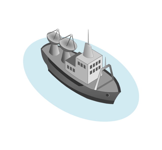
Satellite dishes on ship
Airplane

Internet

Man

Woman

Call-center

Honeycomb

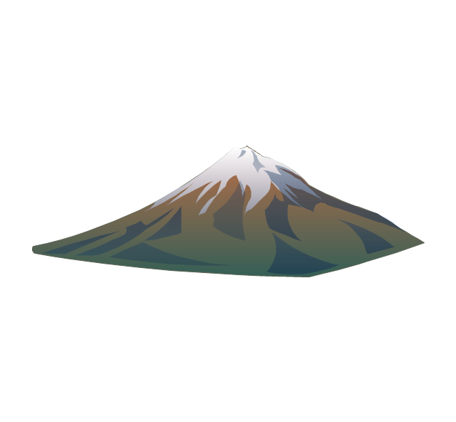
Mountain
Radio waves

Radio waves

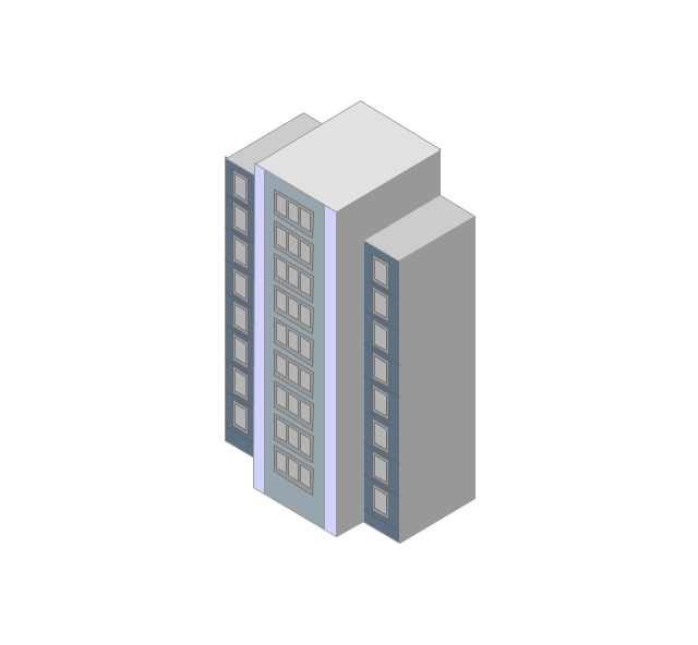
Tower block
Office building

House

House

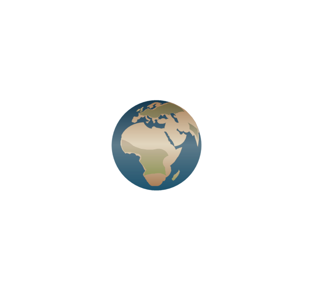
Globe
Wireless security camera
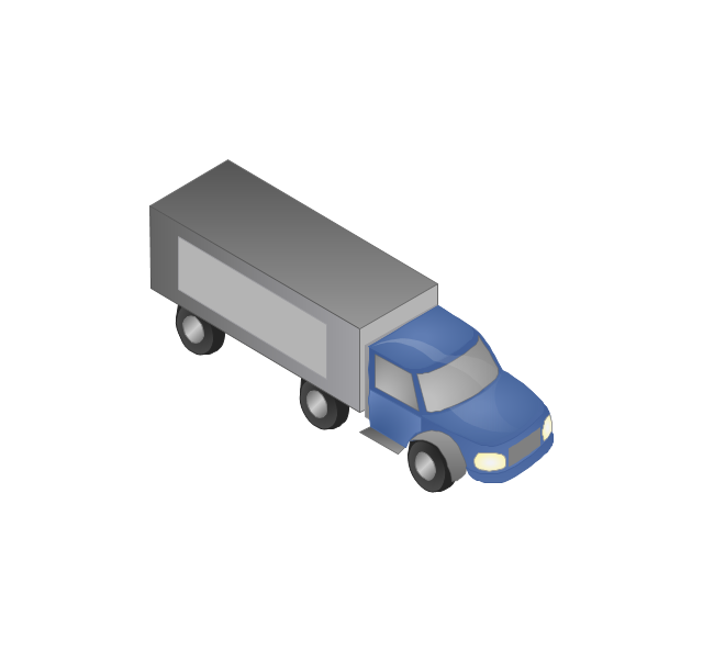
Truck
Tree

Conifer tree

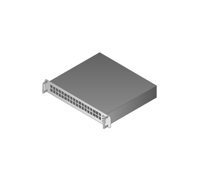
1U hub / switch
2U hub / switch
1U server

2U Server
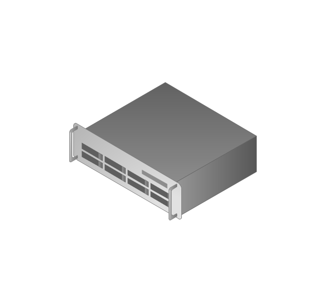
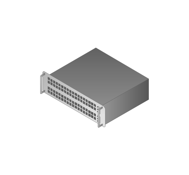
3U Server
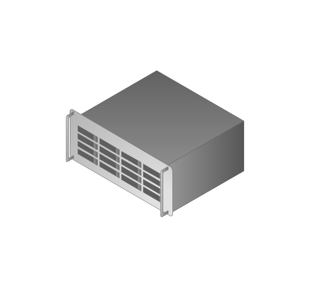
4U Server
Communications satellite
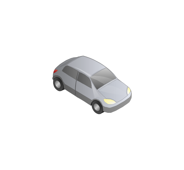
Car
Radio waves

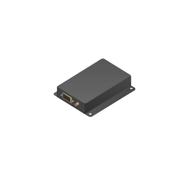
Firewall

Geo Map - South America - Venezuela

Geo Map - Europe - Iceland

Geo Map of Americas

Geo Map - Europe - Greece

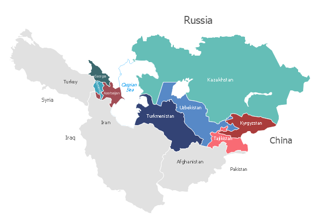
"Central Asia is the core region of the Asian continent and stretches from the Caspian Sea in the west to China in the east and from Afghanistan in the south to Russia in the north. It is also sometimes referred to as Middle Asia, and, colloquially, "the 'stans" (as the six countries generally considered to be within the region all have names ending with the Persian suffix "-stan", meaning "land of") and is within the scope of the wider Eurasian continent.
In modern contexts, all definitions of Central Asia include these five republics of the former Soviet Union: Kazakhstan (pop. 17.9 million), Kyrgyzstan (5.8 million), Tajikistan (8.0 million), Turkmenistan (5.2 million), and Uzbekistan (30.2 million), for a total population of 67.1 million as of 2013-2014. Afghanistan (pop. 31.1 million) is also sometimes included." [Central Asia. Wikipedia]
"The Caucasus / ˈkɔːkəsəs/ or Caucasia / kɔːˈkeɪʒə/ (for endonyms, see below), is a region at the border of Europe and Asia, situated between the Black and the Caspian seas. It is home to the Caucasus Mountains, which contain Europe's highest mountain, Mount Elbrus. Politically, the Caucasus region is separated between northern and southern parts. The southern parts consist of independent sovereign states: Abkhazia, Armenia, Azerbaijan, Georgia, Nagorno-Karabakh, South Ossetia, Turkey (part), Iran (part). The northern parts are under the jurisdiction of the Russian Federation." [Caucasus. Wikipedia]
This political map sample was redesigned from the Wikimedia Commons file: Caucasus central asia political map 2000.jpg. [commons.wikimedia.org/ wiki/ File:Caucasus_ central_ asia_ political_ map_ 2000.jpg]
The example "Caucasus and Central Asia 2000 - Political map" was created using the ConceptDraw PRO diagramming and vector drawing software extended with the Continent Maps solution from the Maps area of ConceptDraw Solution Park.
Political map - Caucasus and Central Asia 2000
"The Andean States are a group of nations in South America that are defined by sharing a common geography (Andes mountain range) or culture such as the Quechua language and Andean cuisine which was primarily spread during the times of the Inca Empire, but also before and after it.
Politically speaking, Argentina and Chile are usually not considered part of the Andean States as they lack a strong native Andean heritage and are culturally more oriented towards Europe and they are not a members of the Andean Community of Nations (which Venezuela is in the process of leaving).
The Andes occupy the western part of South America, stretching through the following countries: Colombia, Venezuela, Ecuador, Peru, Bolivia, Argentina (not considered to be -geopolitically- an Andean State), Chile (not considered to be -geopolitically- an Andean State)." [Andean states. Wikipedia]
"Southern Cone (Spanish: Cono Sur, Portuguese: Cone Sul) is a geographic region composed of the southernmost areas of South America, south of and around the Tropic of Capricorn. Traditionally, it covers Argentina, Chile and Uruguay, bounded on the west by the Pacific Ocean, and south to the junction between the Pacific and Atlantic Oceans, which is the closest continental area of Antarctica (1000 km). In terms of social and political geography, the Southern Cone comprises Argentina, Chile, Paraguay, Uruguay, Southern Brazil and the Brazilian state of São Paulo.
High life expectancy, the highest Human Development Index of Latin America, high standard of living, significant participation in the global markets and the emerging economy of its members make the Southern Cone the most prosperous macro-region in South America." [Southern Cone. Wikipedia]
Eastern South America (Brazil). "Brazil Listeni/ brəˈzɪl/ (Portuguese: Brasil, IPA: [bɾaˈziw]), officially the Federative Republic of Brazil (Portuguese: República Federativa do Brasil, About this sound listen (help·info)), is the largest country in both South America and the Latin American region. It is the world's fifth largest country, both by geographical area and by population. It is the largest Portuguese-speaking country in the world, and the only one in the Americas. Bounded by the Atlantic Ocean on the east, Brazil has a coastline of 7,491 km (4,655 mi). It is bordered on the north by Venezuela, Guyana, Suriname and the French overseas region of French Guiana; on the northwest by Colombia; on the west by Bolivia and Peru; on the southwest by Argentina and Paraguay and on the south by Uruguay. Numerous archipelagos form part of Brazilian territory, such as Fernando de Noronha, Rocas Atoll, Saint Peter and Paul Rocks, and Trindade and Martim Vaz. It borders all other South American countries except Ecuador and Chile and occupies 47 percent of the continent of South America." [Brazil. Wikipedia]
"The Guianas, sometimes called by the Spanish loan-word Guayanas (Las Guayanas) refers to a region in north-eastern South America which includes the following three territories:
(1) French Guiana, an overseas department of France,
(2) Guyana, known as British Guiana from 1831 until 1966, after the colonies of Berbice, Essequibo, and Demerara, taken from the Netherlands in 1814, were merged into a single colony,
(3) Suriname, until 1814 a part of Dutch Guiana, together with Berbice, Essequibo and Demerara." [The Guianas. Wikipedia]
This political map sample was redesigned from the Wikimedia Commons file: South America Color-coded Regions.png. [commons.wikimedia.org/ wiki/ File:South_ America_ Color-coded_ Regions.png]
This file is licensed under the Creative Commons Attribution-Share Alike 3.0 Unported license. [creativecommons.org/ licenses/ by-sa/ 3.0/ deed.en]
The example "South America regions - Political map" was created using the ConceptDraw PRO diagramming and vector drawing software extended with the Continent Maps solution from the Maps area of ConceptDraw Solution Park.
Political map - South America regions

 Nature
This solution extends ConceptDraw PRO software with samples, templates and libraries of vector clipart for drawing the Nature illustrations. Use it to make professional-looking documents, presentations and websites illustrated with color scalable vector c
ConceptDraw Arrows10 Technology

Nature Drawings - How to Draw

- Png Images Of Mountains Vector
- Mountain Vectors Png
- Png For Ocean
- Geography - Vector stencils library | Geography - Vector stencils ...
- Snow Tree Vector Png
- Mountain Animation Png
- Design elements - Map of US Mountain | Geography - Vector ...
- Dish Tv Vector Png
- Percent Png
- Free Vector Images Pc Png
- Russian Map Png
- Airplane seat plan | Aircraft - Vector stencils library | Aircraft - Design ...
- Vector Png Images
- Asia - Vector stencils library | Geo Map - Europe - France | Geo Map ...
- Computer network - Vector stencils library | Cisco Multimedia, Voice ...
- Waves Sketch Png
- Travel and tourism pictograms - Vector stencils library | Travel and ...
- Fruit Art | F&B | Food Art | Dessert Vector Png
- Telecommunication networks - Vector stencils library | Computers ...
- Mobilephone Vector Png