Geo Map - Europe - Germany

Map of Germany — Berlin

Despite the fact that the maps surround us everywhere in our life, usually the process of their drawing is sufficienly complex and labor-intensive. But now, thanks to the ConceptDraw PRO diagramming and vector drawing software extended with Germany Map Solution from the Maps Area of ConceptDraw Solution Park, we have the possibility to make easier this process. Design fast and easy your own pictorial maps of Germany, map of Germany with cities, and thematic Germany maps in ConceptDraw PRO!
Maps of Germany

Map of Germany — Hamburg

Despite the fact that the maps surround us everywhere in our life, usually the process of their drawing is sufficienly complex and labor-intensive. But now, thanks to the ConceptDraw PRO diagramming and vector drawing software extended with Germany Map Solution from the Maps Area of ConceptDraw Solution Park, we have the possibility to make easier this process. Design fast and easy your own pictorial maps of Germany, map of Germany with cities, and thematic Germany maps in ConceptDraw PRO!
Map of Germany

Map of Germany — North Rhine-Westphalia State

Despite the fact that the maps surround us everywhere in our life, usually the process of their drawing is sufficienly complex and labor-intensive. But now, thanks to the ConceptDraw PRO diagramming and vector drawing software extended with Germany Map Solution from the Maps Area of ConceptDraw Solution Park, we have the possibility to make easier this process. Design fast and easy your own pictorial maps of Germany, map of Germany with cities, and thematic Germany maps in ConceptDraw PRO!
Vector Map of Germany

Geo Map - Europe - Norway

The vector stencils library "European country flags" contains 51 clipart images of Europe state flags.
Use the European country flags clip art to illustrate your business documents, presentation slides, web pages, geo maps and infographics.
The clip art example "European country flags - Vector stencils library" was created using the ConceptDraw PRO diagramming and vector drawing software extended with the Artwork solution from the Illustration area of ConceptDraw Solution Park.
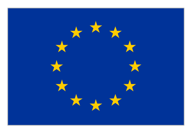
Flag of Europe
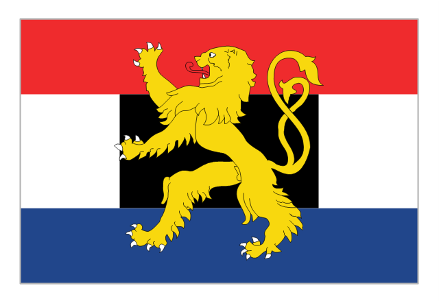
Flag of Benelux
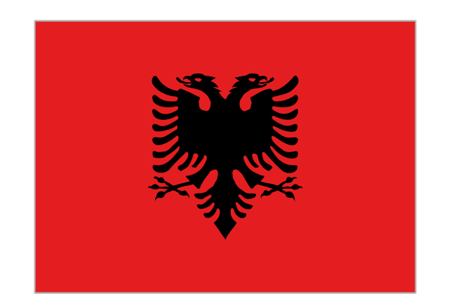
Flag of Albania
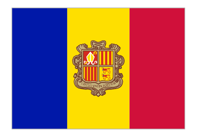
Flag of Andorra
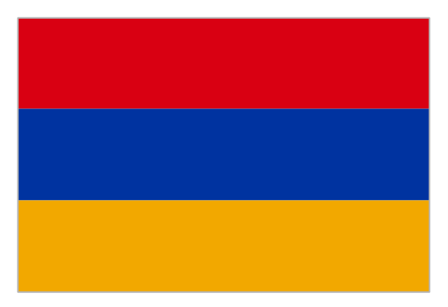
Flag of Armenia
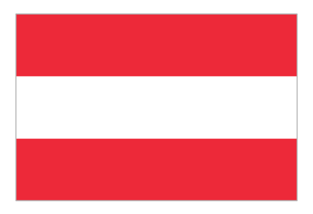
Flag of Austria
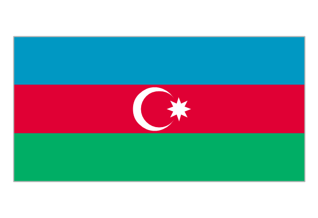
Flag of Azerbaijan
Flag of Belarus

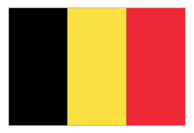
Flag of Belgium
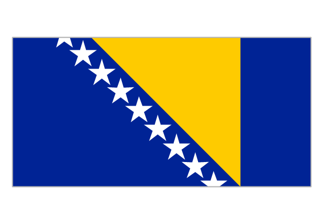
Flag of Bosnia and Herzegovina
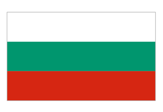
Flag of Bulgaria
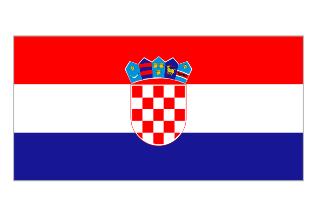
Flag of Croatia
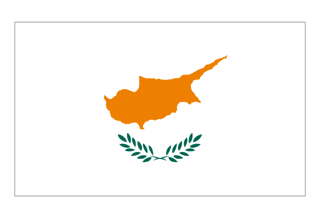
Flag of Cyprus
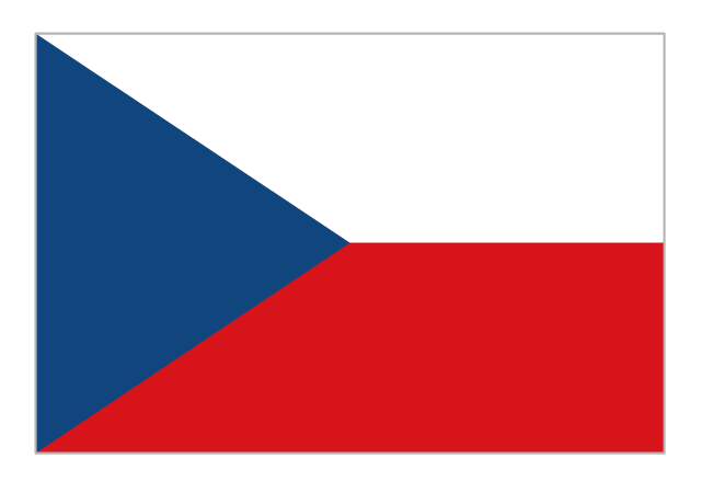
Flag of Czech Republic
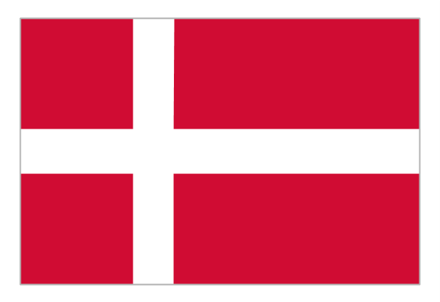
Flag of Denmark
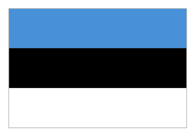
Flag of Estonia
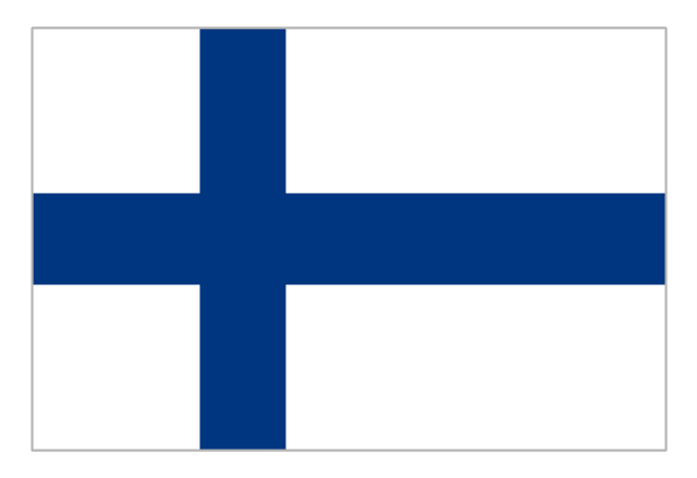
Flag of Finland
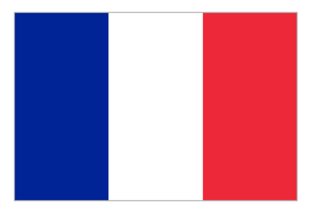
Flag of France
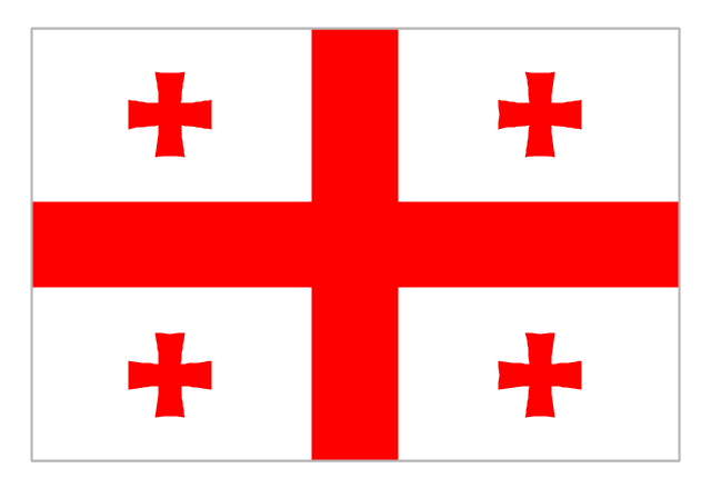
Flag of Georgia
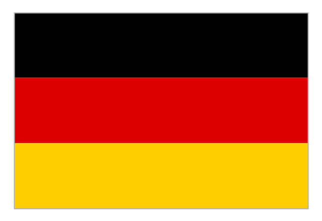
Flag of Germany
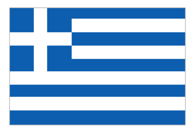
Flag of Greece
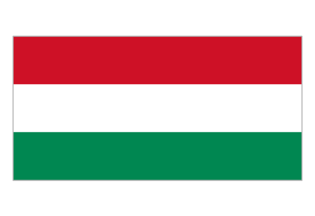
Flag of Hungary
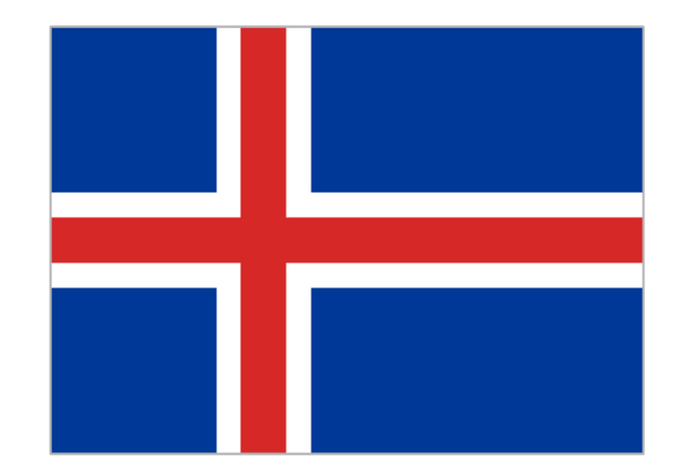
Flag of Iceland
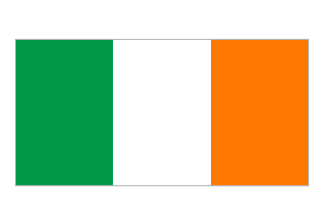
Flag of Ireland
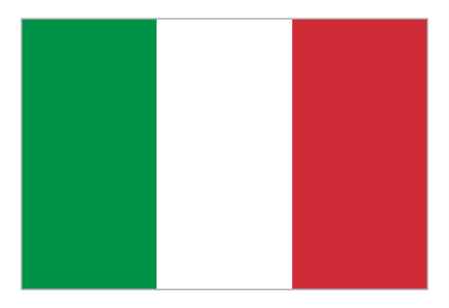
Flag of Italy
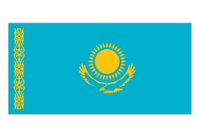
Flag of Kazakhstan
Flag of Latvia

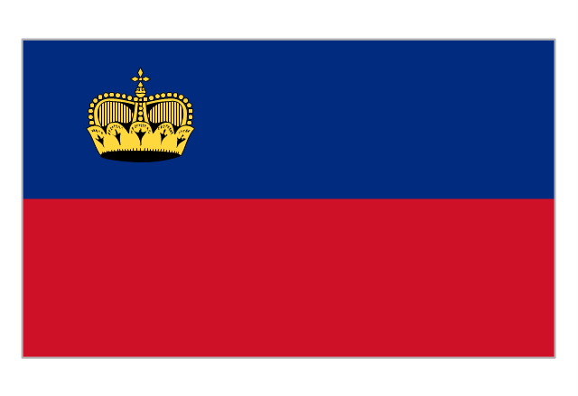
Flag of Liechtenstein
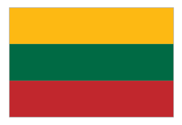
Flag of Lithuania
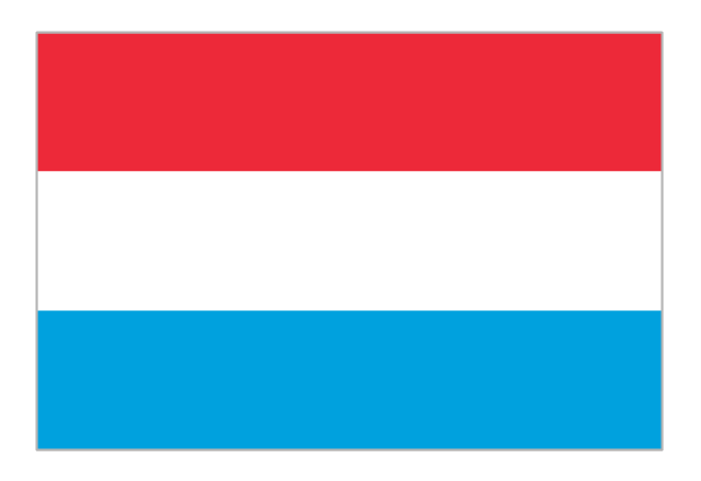
Flag of Luxembourg
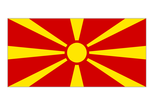
Flag of the Republic of Macedonia
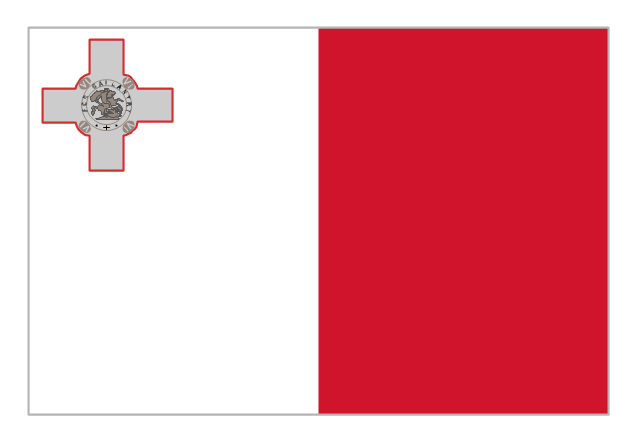
Flag of Malta
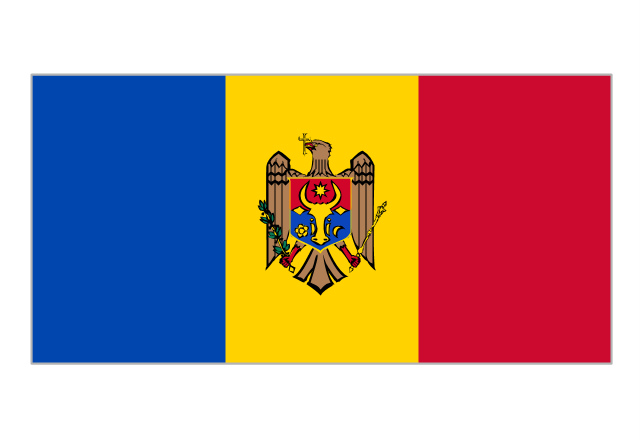
Flag of Moldova
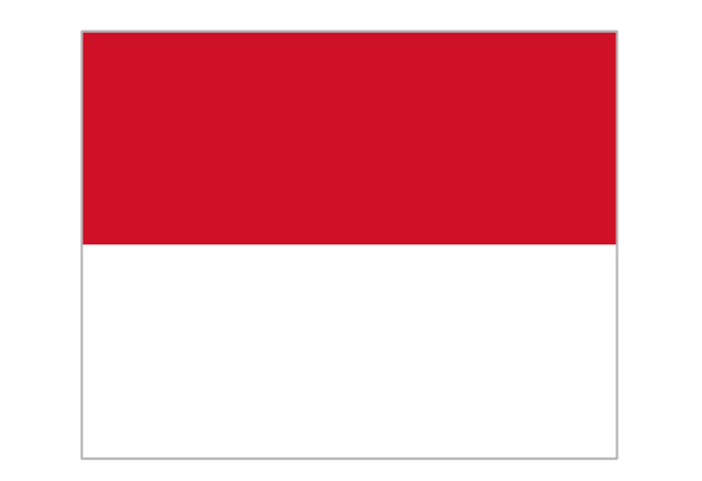
Flag of Monaco
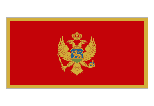
Flag of Montenegro
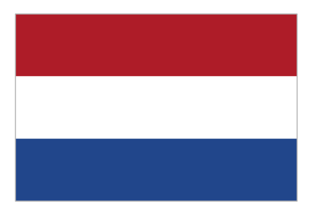
Flag of the Netherlands
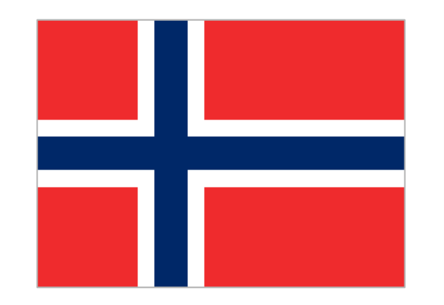
Flag of Norway
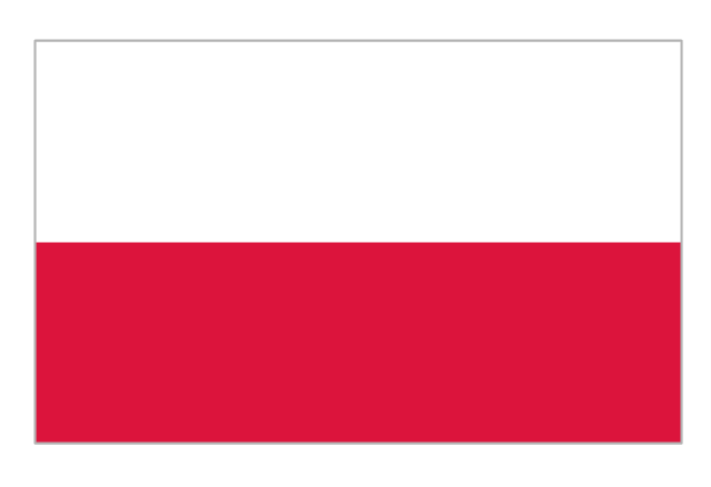
Flag of Poland
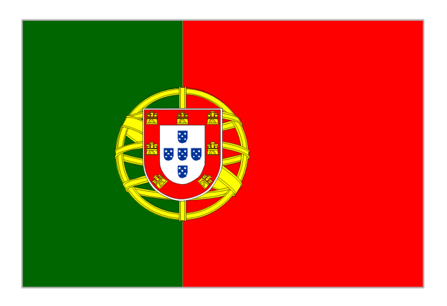
Flag of Portugal
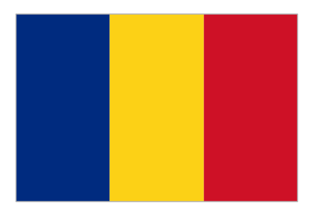
Flag of Romania
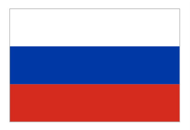
Flag of Russia
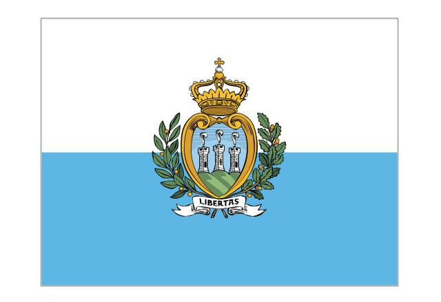
Flag of San Marino
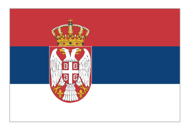
Flag of Serbia
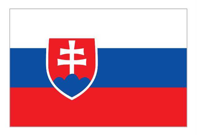
Flag of Slovakia
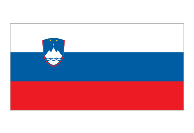
Flag of Slovenia
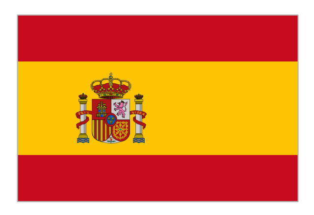
Flag of Spain
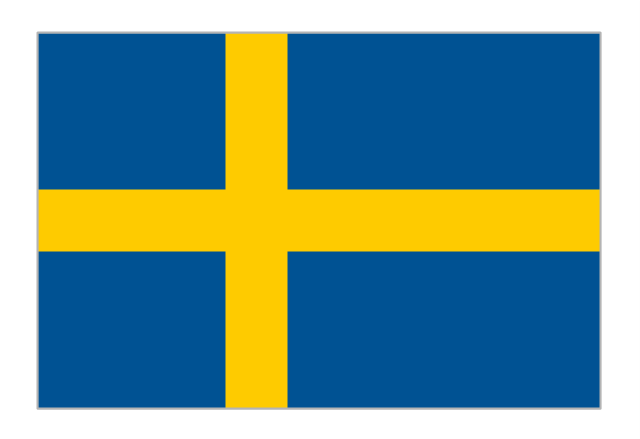
Flag of Sweden
Flag of Switzerland

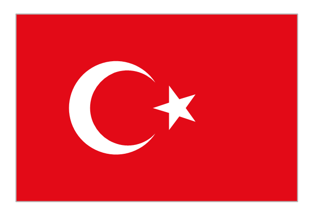
Flag of Turkey
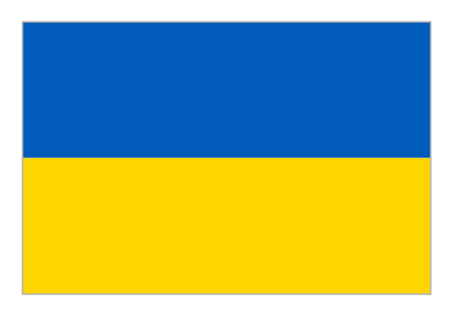
Flag of Ukraine
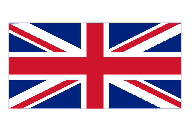
Flag of the United Kingdom
Geo Map - Europe - Belgium

Geo Map - Europe - Croatia

Geo Map - Europe - Poland

The vector stencils library "Education maps" contains 44 state map contours with capitals and major cities: G-20 state maps, EU state maps and world map.
Use it to visualize geospatial information in your education infograms.
"The European Union (EU) is a politico-economic union of 28 member states that are primarily located in Europe: Austria, Belgium, Bulgaria, Croatia, Cyprus, Czech Republic, Denmark, Estonia, Finland, France, Germany, Greece, Hungary, Ireland, Italy, Latvia, Lithuania, Luxembourg, Malta, Netherlands, Poland, Portugal, Romania, Slovakia, Slovenia, Spain, Sweden, United Kingdom." [European Union. Wikipedia]
The European Union map contours example "Design elements - Education maps (EU)" was created using the ConceptDraw PRO diagramming and vector drawing software extended with the Education Infographics solition from the area "Business Infographics" in ConceptDraw Solution Park.
European Union state map contours
.png--diagram-flowchart-example.png)
Geo Map - Europe - Romania

Geo Map - Europe - Spain

- Continent Maps | Geo Map - Europe | Geo Map - Europe - Germany ...
- Continent Maps | Germany Map | Maps of Germany | Usa And Eu Map
- Political map of Europe | Design elements - Education maps ( EU ...
- Europe thematic map - Template | European membership of the EU ...
- Political map of Europe | European membership of the EU and ...
- Geo Map - Europe - Germany
- Map Of France Germany And Europe
- Germany Map With Major Cities
- Germany Map | Maps of Germany With Cities | Map of Germany ...
- European membership of the EU and NATO map | EU 28: Candidate ...
- Geo Map - Europe - Romania | Design elements - Education maps ...
- Map of Germany | Geo Map Software | Maps of Germany | Easy Map ...
- Political map of Europe | Continent Maps | European membership of ...
- Germany Map | Geo Map - Europe - Germany | How to Create a Map ...
- Map of Germany | Maps of Germany | Geo Map - Europe - Germany ...
- Map Of Major German Cities
- Maps of Germany With Cities
- Map of Germany — Saarland State | Map of Germany — Hamburg ...
- Germany Map | Geo Map - Europe - Germany | How to Create a Map ...
- Maps of Germany | Map of Germany | Geo Map - Europe - Germany ...