Geo Map - Canada - Northwest Territories
The Northwest Territories (NWT; French: les Territoires du Nord-Ouest, TNO) is one of three federal territories of Canada.The vector stencils library Northwest Territories contains contours for ConceptDraw DIAGRAM diagramming and vector drawing software. This library is contained in the Continent Maps solution from Maps area of ConceptDraw Solution Park.
Geo Map — United States of America Map
United States is a federal republic consisting of 50 states and a federal district.ConceptDraw is idea to draw the geological map of the United States of America from the pre-designed vector geo map shapes.
Each map is scaled, with the option to add further levels of detail - county borders, their names, capitals and major cities can be shown or hidden using the action menu for each state map. ConceptDraw DIAGRAM gives you full control over map size, shading, color fills and alignment.
Use the Continent Maps solution for easy drawing professional looking geological maps, thematic maps, geospatial infographics and vector illustrations for your business documents, presentations and websites.
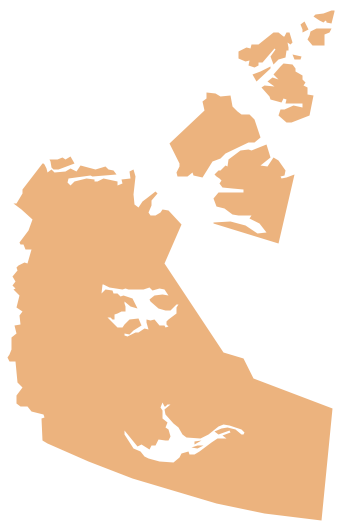
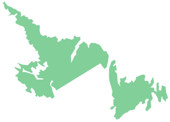
Geo Map - Canada - Newfoundland and Labrador
Newfoundland and Labrador is the easternmost province of Canada.The vector stencils library Newfoundland and Labrador contains contours for ConceptDraw DIAGRAM diagramming and vector drawing software. This library is contained in the Continent Maps solution from Maps area of ConceptDraw Solution Park.
Geo Map - USA - Illinois
Illinois is a state in the Midwestern United States. It is the 5th most populous and 25th most extensive state, and is often noted as a microcosm of the entire country.The vector stencils library Illinois contains contours for ConceptDraw DIAGRAM diagramming and vector drawing software. This library is contained in the Continent Maps solution from Maps area of ConceptDraw Solution Park.
World Continents Map
ConceptDraw DIAGRAM diagramming and vector drawing software enhanced with Continent Maps Solution from the Maps Area is the best for drawing geographic, topography, political, and many other kinds of maps for any of seven earth continents and also world continents map of any detailing.Continents Map
Designing of Continents Map is a quite complex and labour-intensive process. But now we have a way to make it easier - ConceptDraw DIAGRAM diagramming and vector drawing software extended with useful drawing tools of Continent Maps Solution from the Maps Area.Geo Map - USA - Maine
Maine is a state in the New England region of the northeastern United States, bordered by the Atlantic Ocean to the east and south; New Hampshire to the west; the Canadian provinces of Quebec to the northwest; and New Brunswick to the northeast.The vector stencils library Maine contains contours for ConceptDraw DIAGRAM diagramming and vector drawing software. This library is contained in the Continent Maps solution from Maps area of ConceptDraw Solution Park.
Geo Map - USA - New Mexico
New Mexico is a state located in the southwest and western regions of the United States.The vector stencils library New Mexico contains contours for ConceptDraw DIAGRAM diagramming and vector drawing software. This library is contained in the Continent Maps solution from Maps area of ConceptDraw Solution Park.
Geo Mapping Software Examples - World Map Outline
An Example world map, showing a simple outline of world map. The world map is vector and can be edited or export to svg format.Map Software
Create maps, flags, and more with ConceptDraw
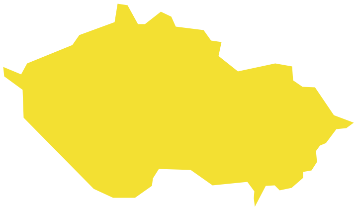
Geo Map - Europe - Czech Republic
The vector stencils library Czech Republic contains contours for ConceptDraw DIAGRAM diagramming and vector drawing software. This library is contained in the Continent Maps solution from Maps area of ConceptDraw Solution Park.Geo Map — USA — Colorado
Colorado is a U.S. state encompassing most of the Southern Rocky Mountains as well as the northeastern portion of the Colorado Plateau and the western edge of the Great Plains.The vector stencils library Colorado contains contours for ConceptDraw DIAGRAM diagramming and vector drawing software. This library is contained in the Continent Maps solution from Maps area of ConceptDraw Solution Park.
Geo Map Software
Geo Map Software - Full Geographic Reach of Your Business with Geo Map Shapes.Geo Map - USA - Georgia
Georgia is a state located in the southeastern United States.The vector stencils library Georgia contains contours for ConceptDraw DIAGRAM diagramming and vector drawing software. This library is contained in the Continent Maps solution from Maps area of ConceptDraw Solution Park.
Continents Map
Designing of Continents Map is a quite complex and labour-intensive process. But now we have a way to make it easier - ConceptDraw DIAGRAM diagramming and vector drawing software extended with useful drawing tools of Continent Maps Solution from the Maps Area.- Easy Steps To Draw North America Outline Map
- Geo Map - Canada - Ontario | How to Draw Maps of Australia Using ...
- How to Draw a Map of North America Using ConceptDraw PRO ...
- How To Draw Map Of England
- How to Draw Maps of Australia Using ConceptDraw PRO | Geo Map ...
- Geo Map - Canada - Ontario | Vector Map of Germany | Geo Map ...
- Map Australia
- Easiest Way To Draw Philippine Map
- Easy To Draw Map Of Europe
- How to Draw Maps of Australia Using ConceptDraw PRO | Geo Map ...
- A Drawing Of Asia
- Simple Canada Map
- How to Draw Maps of Australia Using ConceptDraw PRO | Geo Map ...
- Drawing Of Map Of The Continents
- Vector Map Canada
- Geo Map - Australia - New Zealand | Map Australia | How to Draw ...
- Usa Canada Map Vector
- Geo Map - Canada - Saskatchewan | Geo Map - USA - Ohio | Map of ...
- Geo Map - Canada - Nova Scotia
- ERD | Entity Relationship Diagrams, ERD Software for Mac and Win
- Flowchart | Basic Flowchart Symbols and Meaning
- Flowchart | Flowchart Design - Symbols, Shapes, Stencils and Icons
- Flowchart | Flow Chart Symbols
- Electrical | Electrical Drawing - Wiring and Circuits Schematics
- Flowchart | Common Flowchart Symbols