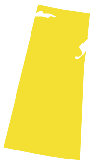
Geo Map - Canada - Saskatchewan
Saskatchewan is a prairie province in Canada, which has a total area of 651,900 square kilometres (251,700 sq mi) and a land area of 592,534 square kilometres (228,800 sq mi), the remainder being water area (covered by lakes/ponds, reservoirs and rivers). The vector stencils library Saskatchewan contains contours for ConceptDraw PRO diagramming and vector drawing software. This library is contained in the Continent Maps solution from Maps area of ConceptDraw Solution Park.Geo Map - USA - Ohio
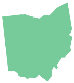
Ohio is a state in the Midwestern United States. The vector stencils library Ohio contains contours for ConceptDraw PRO diagramming and vector drawing software. This library is contained in the Continent Maps solution from Maps area of ConceptDraw Solution Park.Map of USA
It is impossible to imagine modern life and science without maps, they surround us anywhere, they are used in geography, history, politics, economics, and many other fields of science. ConceptDraw PRO diagramming and vector drawing software offers the USA Maps Solution from the Maps Area of ConceptDraw Solution Park with its collection of samples and libraries for easy drawing the Map of USA.Geo Map - USA - Alaska
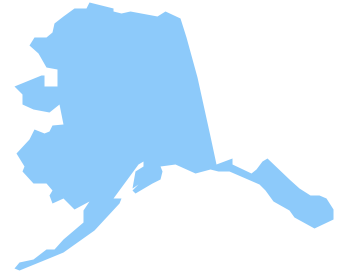
Alaska is a U.S. state situated in the northwest extremity of the North American continent. The vector stencils library Alaska contains contours for ConceptDraw PRO diagramming and vector drawing software. This library is contained in the Continent Maps solution from Maps area of ConceptDraw Solution Park.Geo Map - USA - New York
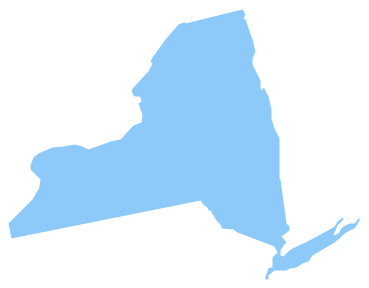
New York is a state in the Northeastern and Mid-Atlantic regions of the United States. The vector stencils library New York contains contours for ConceptDraw PRO diagramming and vector drawing software. This library is contained in the Continent Maps solution from Maps area of ConceptDraw Solution Park.Geo Map - USA - Montana
Montana is a state in the Western United States. The vector stencils library Montana contains contours for ConceptDraw PRO diagramming and vector drawing software. This library is contained in the Continent Maps solution from Maps area of ConceptDraw Solution Park.Geo Map - World
ConceptDraw PRO is idea to draw the geological maps of World from the pre-designed vector geo map shapes.Geo Map - USA - Washington
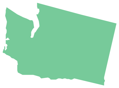
Washington is a state in the Pacific Northwest region of the United States located north of Oregon, west of Idaho, and south of the Canadian province of British Columbia on the coast of the Pacific Ocean. The vector stencils library Washington contains contours for ConceptDraw PRO diagramming and vector drawing software. This library is contained in the Continent Maps solution from Maps area of ConceptDraw Solution Park.Geo Map - USA - Louisiana
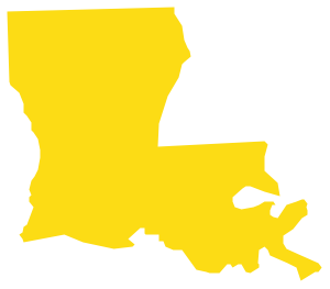
Louisiana is a state located in the southern region of the United States. The vector stencils library Louisiana contains contours for ConceptDraw PRO diagramming and vector drawing software. This library is contained in the Continent Maps solution from Maps area of ConceptDraw Solution Park.Vector Map of Germany
Vector map is the best way to visually present a world, continents, islands, to display location and boundaries of countries and cities. ConceptDraw PRO diagramming and vector drawing software offers the Germany Map Solution from the Maps Area of ConceptDraw Solution Park - the best tool for fast and easy drawing vector map of Germany of any degree of detailing, and thematic cartograms and maps of Germany on its base.Geo Map - USA - Illinois
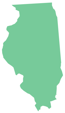
Illinois is a state in the Midwestern United States. It is the 5th most populous and 25th most extensive state, and is often noted as a microcosm of the entire country. The vector stencils library Illinois contains contours for ConceptDraw PRO diagramming and vector drawing software. This library is contained in the Continent Maps solution from Maps area of ConceptDraw Solution Park.- Northamerica High Quality Map With Capital Cities
- Canada political map
- Africa map with countries, main cities and capitals - Template | Geo ...
- North America map with capitals - Template | Continents Map ...
- North America map with capitals - Template | South America map ...
- North America map
- Canadas 10 Provinces And Capital Cities
- North America map with capitals - Template | Continents Map | How ...
- North America map with capitals - Template | South America map ...
- North America map - Template | Geo Map - South America Continent ...
- North America map with capitals - Template | South America map ...
- Canada Map With Capitals
- Geo Map - United States of America Map | North America map with ...
- Geo Map - United States of America Map | Geo Map - USA - Alaska ...
- Geo Map - Canada - Ontario | North America - Vector stencils library ...
- North America map with capitals - Template
- North America - Vector stencils library | North America map ...
- Geo Map - Canada - Nova Scotia
- Map Of North American Continent With Names Of States And Cities
- Geo Map - Canada - Ontario
