7 Continents Map
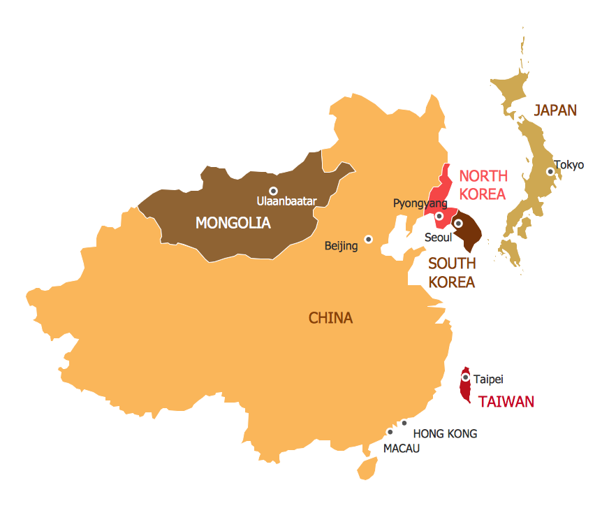
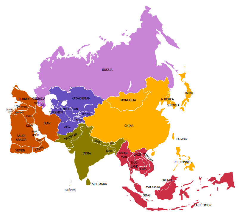
A continent is a large area of land washed by the seas. There are 7 continents on the Earth: Asia, Africa, North America, South America, Antarctica, Europe, and Australia. If you want create the 7 Continents Map, we offer you incredibly useful tool for this - ConceptDraw PRO diagramming and vector drawing software extended with Continent Maps Solution from the Maps Area of ConceptDraw Solution Park.
 Continent Maps
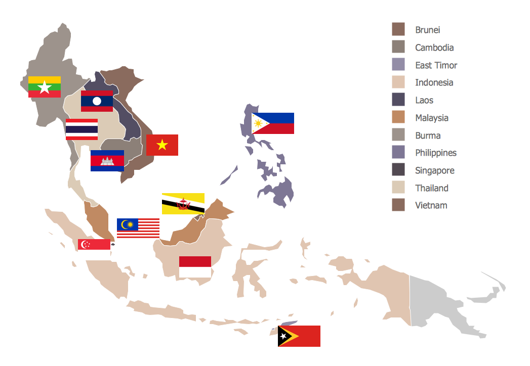
Continent Maps solution extends ConceptDraw PRO software with templates, samples and libraries of vector stencils for drawing the thematic maps of continents, state maps of USA and Australia.
World Continents Map
ConceptDraw PRO diagramming and vector drawing software enhanced with Continent Maps Solution from the Maps Area is the best for drawing geographic, topography, political, and many other kinds of maps for any of seven earth continents and also world continents map of any detailing.Map of Continents
A continent is one of several very large landmasses on Earth. ConceptDraw PRO diagramming and vector drawing software offers the unique Continent Maps Solution from the Maps Area which is indispensable for drawing the map of continents of the Earth.Geo Map - Asia - Turkmenistan
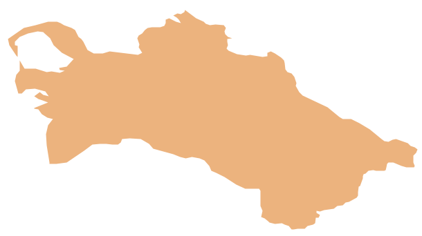
Turkmenistan, formerly also known as Turkmenia, is one of the Turkic states in Central Asia. The vector stencils library Turkmenistan contains contours for ConceptDraw PRO diagramming and vector drawing software. This library is contained in the Continent Maps solution from Maps area of ConceptDraw Solution Park.Geo Map - World
ConceptDraw PRO is idea to draw the geological maps of World from the pre-designed vector geo map shapes.Map Software
Create maps, flags, and more with ConceptDraw
 Seven Basic Tools of Quality
Manage quality control in the workplace, using fishbone diagrams, flowcharts, Pareto charts and histograms, provided by the Seven Basic Tools of Quality solution.
Continents and Oceans Map
You need design a continent map, world continents map, continents and oceans map, or any other type of continent maps? Now, it's very easy thanks to the ConceptDraw PRO diagramming and vector drawing software supplied with Continent Maps Solution from the Maps Area of ConceptDraw Solution Park.
 Fishbone Diagrams
The Fishbone Diagrams solution extends ConceptDraw PRO v10 software with the ability to easily draw the Fishbone Diagrams (Ishikawa Diagrams) to clearly see the cause and effect analysis and also problem solving. The vector graphic diagrams produced using this solution can be used in whitepapers, presentations, datasheets, posters, and published technical material.
 Circle-Spoke Diagrams
Examples of subject areas that are well suited to this approach are marketing, business, products promotion, process modeling, market, resource, time, and cost analysis. Circle-Spoke Diagrams are successfully used in presentations, conferences, management documents, magazines, reportages, reviews, reports, TV, and social media.
 Seven Management and Planning Tools
Seven Management and Planning Tools solution extends ConceptDraw PRO and ConceptDraw MINDMAP with features, templates, samples and libraries of vector stencils for drawing management mind maps and diagrams.
Continent Map
Every day many of people confront in their work with necessity of drawing various continent maps. Specially for these people was developed the Continent Maps Solution and included to the Maps Area of ConceptDraw Solution Park. Thanks to it you can design any Continent Map quick and easy.Geo Map - Europe
Europe is a continent that comprises the westernmost part of Eurasia. ConceptDraw PRO is idea to draw the geological maps of Europe from the pre-designed vector geo map shapes. Use it to draw thematic maps, geospatial infographics and vector illustrations for your business documents, presentations and websites.Geo Mapping Software Examples - World Map Outline
An Example world map, showing a simple outline of world map. The world map is vector and can be edited or export to svg format.- 7 Continents Diagram
- Seven Continents And The Diagram
- 7 Continents Map | Map of Continents | Continent Maps | Diagram Of ...
- Bar Graph On Area Of Seven Continent
- Continent Maps | 7 Continents Map | Map of Continents | Diagram Of ...
- The Seven Continents Of The World With Their Diagram
- Diagram Of The Seven Continents And Their Countries
- 7 Continents Map | World Continents Map | Continents Map | The ...
- A Bar Graph Representing Area Of 7 Continents
- Drawing Of The 7 Continents
- Show The Diagram Of 7 Continent
- 7 Continents Drawing
- World Continents Diagram
- Pie Graph Of 7 Continents
- World Continents Map | Beautiful Nature Scene: Drawing | Continent ...
- Seven Contients Imformation And Diagram
- Represent The Area Of 7 Continents On Bar Graph
- Draw And All Seven Continent
- Continent Maps | Seven Basic Tools of Quality | World Continents ...
- 7 Continents Map | World Continents Map | Map of Continents ...


