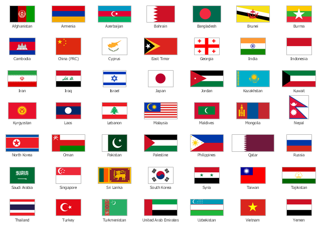
The vector stencils library "Asia flags" contains 49 clipart images of Asian countries state flags.
National flags of Central Asia countries: Kazakhstan, Kyrgyzstan, Tajikistan, Turkmenistan, Uzbekistan.
National flags of Eastern Asia countries: People's Republic of China, Hong Kong (China), Japan, North Korea, South Korea, Macau (China), Mongolia, Republic of China (Taiwan).
National flags of Southeast Asia countries: Brunei, Burma, Cambodia, Christmas Island (Australia), Cocos (Keeling) Islands (Australia), East Timor, Indonesia, Laos, Malaysia, Philippines, Singapore, Thailand, Vietnam.
National flags of Southern Asia countries: Bangladesh, Bhutan, British Indian Ocean Territory (United Kingdom), India, Maldives, Nepal, Pakistan, Sri Lanka.
National flags of Western Asia countries: Abkhazia, Afghanistan, Akrotiri and Dhekelia (United Kingdom), Armenia, Azerbaijan, Bahrain, Cyprus, Egypt, Georgia, Iran, Iraq, Israel, Jordan, Kuwait, Lebanon, Nagorno-Karabakh, Northern Cyprus, Oman, Palestine, Qatar, Saudi Arabia, South Ossetia, Syria, Turkey, United Arab Emirates, Yemen.
National flags of Northern Asia countries: Russia.
The clip art example "Design elements - Asia flags" was created using the ConceptDraw PRO diagramming and vector drawing software extended with the Continent Maps solution from the Maps area of ConceptDraw Solution Park.
Asia state flags
Geo Map - Asia - India

Geo Map - Asia

Geo Map - Asia - Mongolia

Geo Map - Asia - Philippines

Use the map contours library "Asia" to design thematic maps of Asian countries using the ConceptDraw PRO diagramming and vector drawing software.
"Asia ... is the world's largest and most populous continent, located primarily in the eastern and northern hemispheres. ...
The boundaries of Asia are culturally determined, as there is no clear geographical separation between it and Europe, which together form one continuous landmass called Eurasia. The most commonly accepted boundaries place Asia to the east of the Suez Canal, the Ural River, and the Ural Mountains, and south of the Caucasus Mountains (or the Kuma–Manych Depression) and the Caspian and Black Seas. It is bounded on the east by the Pacific Ocean, on the south by the Indian Ocean and on the north by the Arctic Ocean." [Asia. Wikipedia]
The vector stencils library "Asia" contains 57 map contours: Asia state map contours, Asia political map, sea contours, lake contours.
The map contours example "Design elements - Asia" is included in the Continent Maps solution from the Maps area of ConceptDraw Solution Park.
Asia map contours

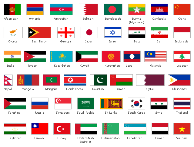
The vector stencils library "Asian country flags" contains 48 clipart images of Asia state flags.
Use it to illustrate your business documents, presentation slides, web pages and infographics.
The clip art example "Design elements - Asian country flags" was created using the ConceptDraw PRO diagramming and vector drawing software extended with the Artwork solution from the Illustration area of ConceptDraw Solution Park.
Asia state flags clip art
Geo Map - Europe - Serbia

Geo Map - Europe - Austria

 Continent Maps
Continent Maps solution extends ConceptDraw PRO software with templates, samples and libraries of vector stencils for drawing the thematic maps of continents, state maps of USA and Australia.
Geo Map - Europe - Greece

Geo Map - Africa

Geo Map - South America Continent

Types of Map - Overview

Continents Map

- Design elements - Asia flags | Asia flags - Stencils library | Geo Map ...
- Asia flags - Stencils library | Design elements - Asia flags ...
- Design elements - Asia flags | Asia flags - Stencils library | Flags ...
- Design elements - Asia flags | Asia flags - Stencils library | Design ...
- Asia flags - Stencils library | Design elements - Asia flags | Geo Map ...
- Design elements - Asia flags | Geo Map - Asia - Mongolia | Design ...
- Asia flags - Stencils library | Geo Map - Asia - India | Design ...
- Asia flags - Stencils library | Design elements - Asia flags | Asian ...
- Design elements - Asia flags | Continent Maps | Flag Of Asian Contries
- Design elements - Asia flags | Design elements - Asian country flags ...
- Geo Map - Asia - India | Asia flags - Stencils library | Design ...
- Asia flags - Stencils library | Design elements - Asia flags | Design ...
- Southeast Asia - Political map | Asia flags - Stencils library | Design ...
- Design elements - Asia flags | Geo Map - Asia | Geo Map - Asia ...
- Asia flags - Stencils library | Design elements - Asia flags | Flags ...
- Flags - Stencils library | Design elements - Asia flags | Asia flags ...
- Design elements - Asia flags | European country flags - Vector ...
- Design elements - Asia flags | Flags - Stencils library | Asia flags ...
- Design elements - Asia flags | Geo Map - Asia | Map of Continents ...
- Geo Map - Asia - India | Asia flags - Stencils library | Design ...