Geo Map — Asia

Flowchart design. Flowchart symbols, shapes, stencils and icons

Geo Map — Europe

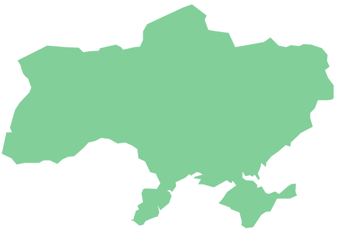
Geo Map - Europe - Ukraine
Geo Map - Europe - Norway

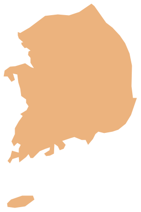
Geo Map - Asia - South Korea
Geo Map — United States of America Map

 UK Map
The Map of UK solution contains collection of professionally designed samples and scalable vector stencil graphics maps, representing the United Kingdom counties, regions and cities. Use the Map of UK solution from ConceptDraw Solution Park as the base fo
Geo Map — USA — Washington

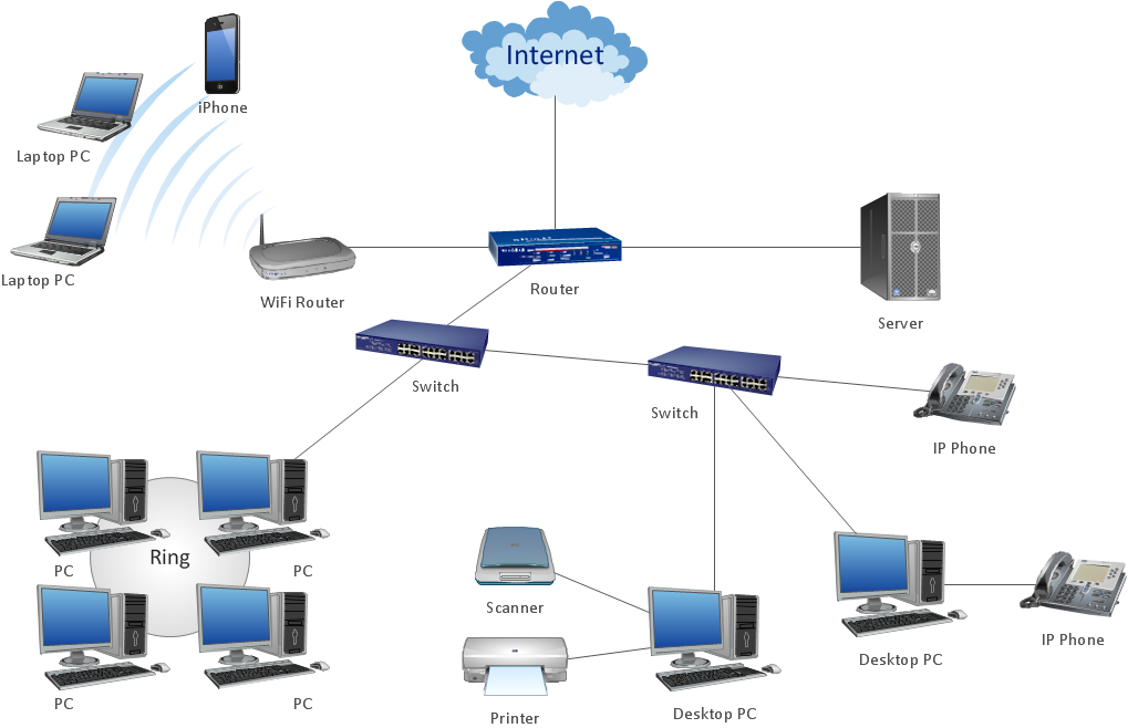
ConceptDraw Arrows10 Technology
Geo Map - Europe - Russia

Geo Map - USA - New York

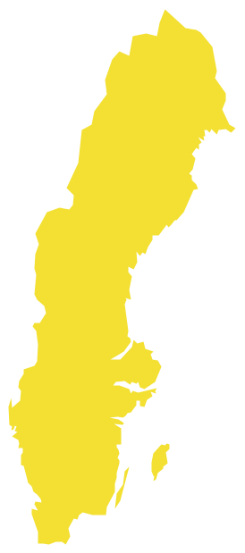
Geo Map — Europe — Sweden
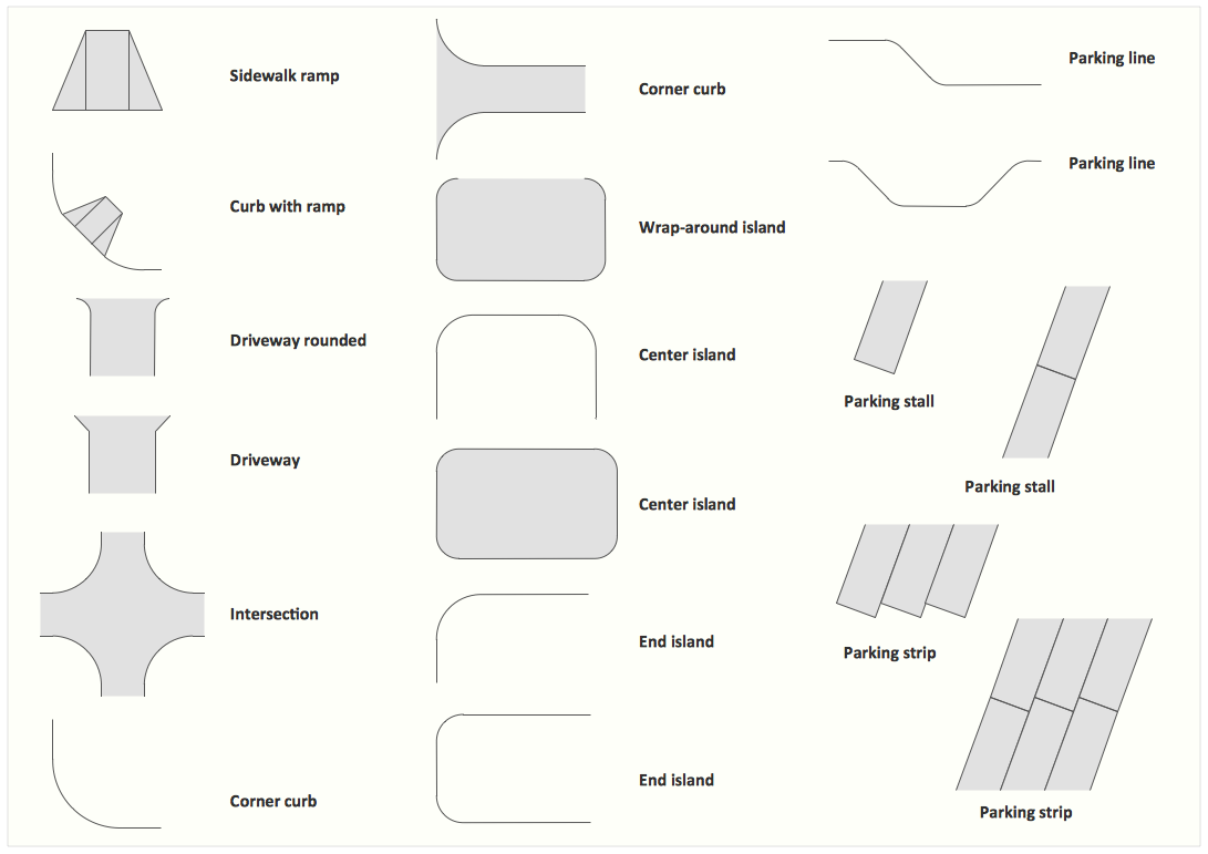
Interior Design. Site Plan — Design Elements
Geo Map - Canada

- Entity Relationship Diagram - ERD - Software for Design Crows Foot ...
- Chemical and Process Engineering | How to Draw a Chemical ...
- How to Create a Directional Map Using ConceptDraw PRO | Types ...
- How to Draw a Map of North America Using ConceptDraw PRO ...
- How to Draw a Mind Map on PC Using ConceptDraw MINDMAP ...
- ConceptDraw Arrows10 Technology | Packaging, loading, customs ...
- How to Create a Directional Map Using ConceptDraw PRO ...
- How to Draw a Map of North America Using ConceptDraw PRO ...
- Guide Tour Icon Png
- How to Create a Typography Infographic Using ConceptDraw PRO ...
- Import process - Flowchart
- How to Convert a Visio Stencils for Use in ConceptDraw PRO ...
- How to Draw a Map of North America Using ConceptDraw PRO ...
- Fire and Emergency Plans | Emergency Plan | How To Create ...
- Number of airlines departures in the given years | Line Chart ...
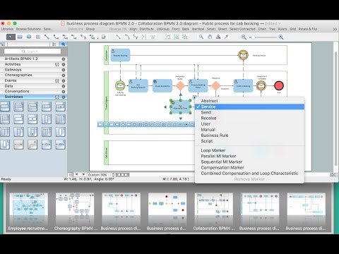
- Business Process Diagrams | BPMN 2.0 | How to Create a BPMN ...
- Geo Map - United States of America Map | Map of USA | Geo Map ...
- Fire and Emergency Plans | Fire Exit Plan. Building Plan Examples ...
- Business Process Modeling with ConceptDraw | Business Process ...
- Building Drawing Software for Design Seating Plan | Interior Design ...