HelpDesk
How to Create a Directional Map Using ConceptDraw PRO
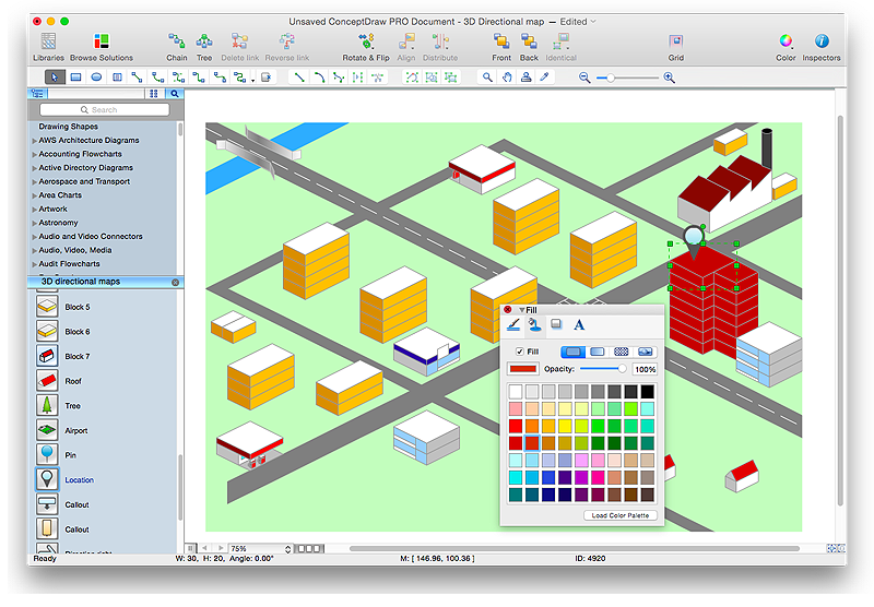
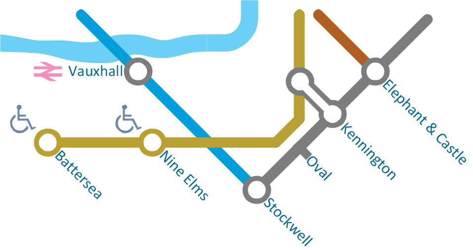
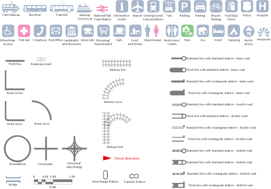
Travelers often use directional maps to find directions for certain places. These maps are guide millions of tourists to explore towns and cities worldwide. Searching addresses on a map, view nearby businesses, get driving directions - this is only a little of what directional maps is needed. ConceptDraw PRO allows you to create various kinds of directional maps. You can easily visualize city maps or destinations with driving directions and traveler information using special vector stencils libraries.HelpDesk
How to Create a Map Depicting the United Kingdom Counties and Regions
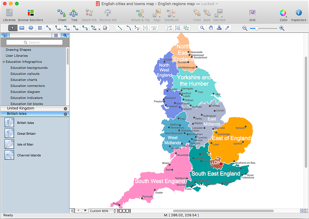
The UK Map Solution for ConceptDraw PRO includes all of the UK counties with county outlined borders, from the largest, North Yorkshire, to the smallest Rutlandshire. Geographical thematic maps are used to visualize information on a number of subjects related with certain geographical location . It is a common way of representing any form of spatial data in relation to a specific geographical area. The UK Map Solution for ConceptDraw PRO includes all of the United Kingdom counties with county outlined borders and major cities. You can quickly create geographic maps, cartograms, and thematic maps for geographical visualization information for business and travels.HelpDesk
How to Create a Map of Germany Using ConceptDraw PRO
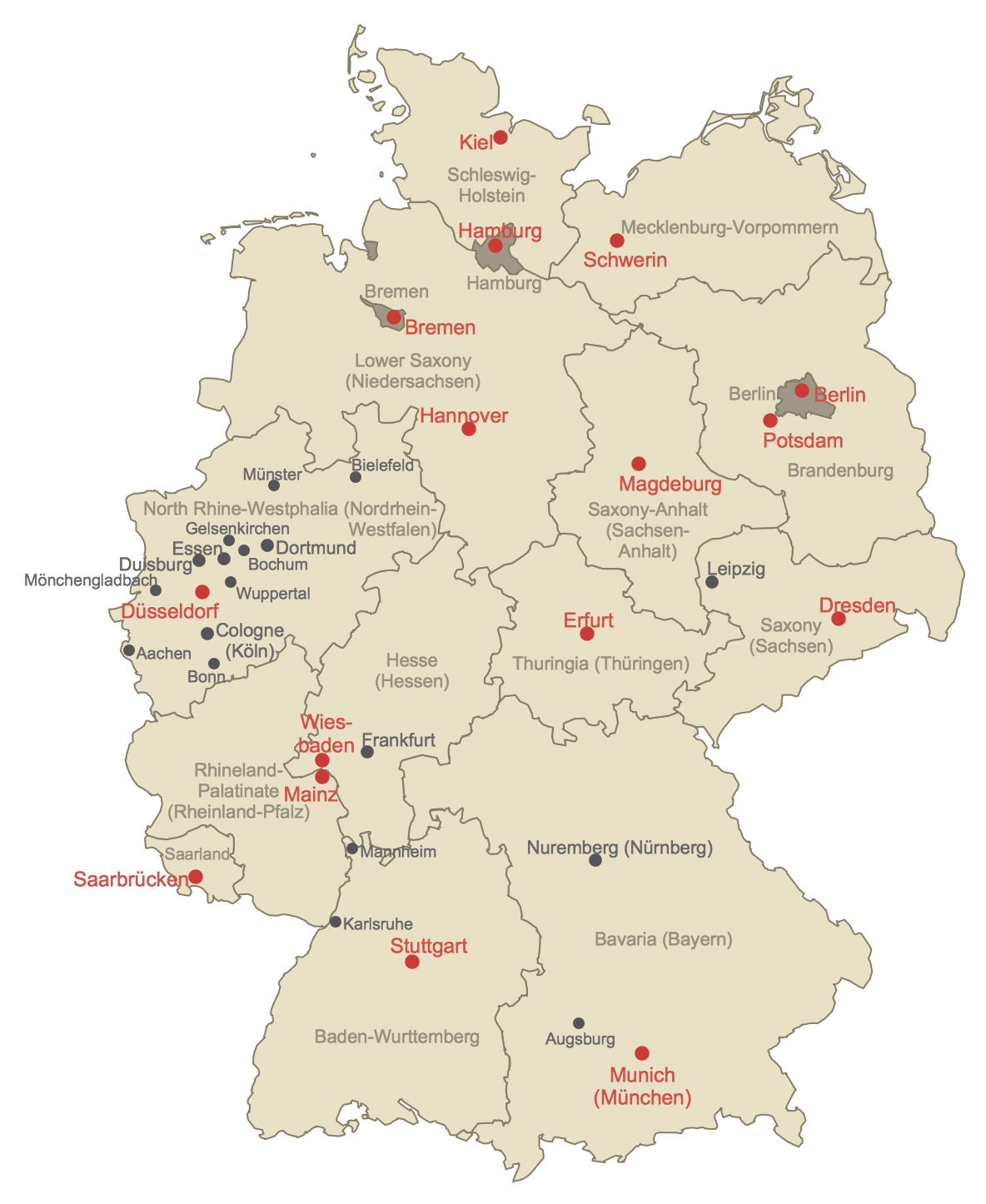
Geographical thematic maps are used to display information on a variety of subjects. It is a common way of representing any form of spatial data in relation to a specific geographical area. The Germany Map Solution for ConceptDraw PRO includes all of the German federal states with county outlined borders and major cities. You can quickly create geographic maps, cartograms, and thematic maps for geographical visualization information for business and travels.HelpDesk
How to Draw Maps of Australia Using ConceptDraw PRO
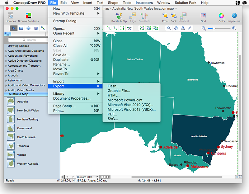
Australia is the sixth largest country in the world. Australia consists from the mainland which is surrounded by many thousands of small fringing islands and numerous larger ones. The vast territories, aligned with interesting historic features across a wide expanse, make the thematic map an ideal way of depicting geographical, geological and political information related to Australia.The Australia Map solution for ConceptDraw PRO will help you to make the steps of the creativeness easy and intuitive. The Australia Map solution provides templates and samples along with vector stencils to get you started. Used together with other ConceptDraw PRO solutions it will allow you to create comprehensive geography-related infographics.Spatial infographics Design Elements: Continental Map
ConceptDraw PRO is a software for making infographics illustrations. You can work with various components to build really impressive and easy-to-understand infographics design.
 Nature
This solution extends ConceptDraw PRO software with samples, templates and libraries of vector clipart for drawing the Nature illustrations. Use it to make professional-looking documents, presentations and websites illustrated with color scalable vector c
Spatial Infographics
Not everyone can make spatial infographics from scratch, ConceptDraw will help you to create your own infographics.Map Infographic Maker
Take inspiration with ConceptDraw to visualise your maps and make eye-catching infographics.- Directional Map Road Signs
- Directional Maps | Map Directions | Sign Making Software | A Png ...
- Maps and Directions | Map Directions | Sign Making Software | Road ...
- Design elements - 3D directional maps | Directions Map | Map ...
- Directional Maps | How to Create a Directional Map Using ...
- Hotel locator map | Rolla USGS Center locator map | Design ...
- How to Create a Directional Map Using ConceptDraw PRO ...
- 3D pictorial street map | Design elements - 3D directional maps ...
- Map Directions | 2D Directional map - Template | Directional Maps ...
- 2D Directional map
- Directional Maps | Directions Maps | Conference centre location ...
- Directional Maps | How to Create a Directional Map Using ...
- Directional Map Software
- Geographic Maps
- Spatial infographics Design Elements: Location Map | Design ...
- Metro Map | How to Make a Web Page from Your Metro Map | Types ...
- 2D Directional map - Template | Map Directions | Directions Map | 2d ...
- Recreation signs - Vector stencils library | Recreation signs - Vector ...
- Software Drawing Directional Map
- Geospatial Data | Spatial infographics Design Elements: Location ...
