Geo Map - Europe

Geo Map - Europe - Hungary

Geo Map - Europe - Slovakia

Geo Map - Europe - Switzerland

Geo Map - Europe - Poland

Geo Map - Europe - Croatia

Geo Map - Europe - Slovenia

Geo Map - Europe - Austria

Geo Map - Europe - Germany

Geo Map - Europe - Czech Republic

Geo Map - Europe - Serbia

A map showing European membership of the EU and NATO.
"The European Union (EU) is an economic and political union of 28 member states that are located primarily in Europe.
The EU operates through a system of supranational independent institutions and intergovernmental negotiated decisions by the member states. Institutions of the EU include the European Commission, the Council of the European Union, the European Council, the Court of Justice of the European Union, the European Central Bank, the Court of Auditors, and the European Parliament. The European Parliament is elected every five years by EU citizens. The EU's de facto capital is Brussels." [European Union. Wikipedia]
"The principal military alliance in Europe remains NATO, which includes 21 of all EU member states as well as other non-EU European countries, Turkey, the United States and Canada." [Military of the European Union. Wikipedia]
"The North Atlantic Treaty Organization (NATO), also called the (North) Atlantic Alliance, is an intergovernmental military alliance based on the North Atlantic Treaty which was signed on 4 April 1949. The organization constitutes a system of collective defence whereby its member states agree to mutual defense in response to an attack by any external party. NATO's headquarters are in Brussels, Belgium, one of the 28 member states across North America and Europe, the newest of which, Albania and Croatia, joined in April 2009." [NATO. Wikipedia]
This Europe map example was redesigned using the ConceptDraw PRO diagramming and vector drawing software from the Wikimedia Commons file: EU and NATO.svg.
[commons.wikimedia.org/ wiki/ File:EU_ and_ NATO.svg]
The Europe political map example "European membership of the EU and NATO map" is included in the Continent Maps solution from the Maps area of ConceptDraw Solution Park.
Political map - EU and NATO

Geo Map - Europe - Macedonia

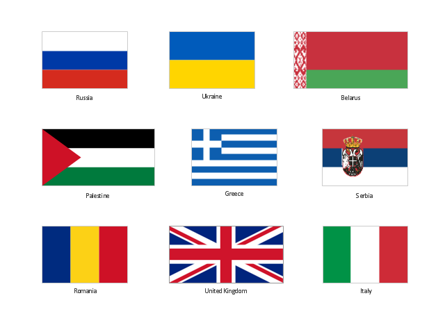
The vector clipart library "Flags" contains 213 flags of world countries.
Use the vector stencils library "Flags" for drawing you own illustrations, presentation slides and infographics using the ConceptDraw PRO diagramming and vector drawing software.
"A state flag is a variant of a national flag (or occasionally a completely different design) specifically designated and restricted by law or custom (theoretically or actually) to use by a country's government or its agencies. For this reason they are sometimes referred to as government flags. In many countries the state flag and the civil flag (as flown by the general public) are identical, but in other countries, notably those in Latin America, central Europe, and Scandinavia, the state flag is a more complex version of the national flag, often featuring the national coat of arms or some other emblem as part of the design. Scandinavian countries also use swallowtailed state flags, to further differentiate them from civil flags. In addition, some countries have state ensigns, separate flags for use by non-military government ships such as coast guard vessels. For example, government ships in the United Kingdom fly the blue ensign." [State flag. Wikipedia]
The vector clipart example "Design elements - Flags" is included in the Artwork solution from the Illustration area of ConceptDraw Solution Park.
Clip art
Geo Map - Europe - Bosnia and Herzegovina

 Continent Maps
Continent Maps solution extends ConceptDraw PRO software with templates, samples and libraries of vector stencils for drawing the thematic maps of continents, state maps of USA and Australia.
Geo Map - South America - Nicaragua

The vector stencils library Nicaragua contains contours for ConceptDraw PRO diagramming and vector drawing software. This library is contained in the Continent Maps solution from Maps area of ConceptDraw Solution Park.
Geo Map of Americas

ConceptDraw is idea to draw the geological maps of America from the pre-designed vector geo map shapes and vector images map of america.
Use Continent Maps solution from the Maps area of ConceptDraw Solution Park to draw thematic maps, geospatial infographics and vector illustrations for your business documents, presentations and websites.
Geo Map - Africa - Chad

The vector stencils library Chad contains contours for ConceptDraw PRO diagramming and vector drawing software. This library is contained in the Continent Maps solution from Maps area of ConceptDraw Solution Park.
Geo Map - Africa - Cameroon

The vector stencils library Cameroon contains contours for ConceptDraw PRO diagramming and vector drawing software. This library is contained in the Continent Maps solution from Maps area of ConceptDraw Solution Park.
- Geo Map - Europe
- Political map of Europe | Tools to Create Your Own Infographics ...
- Geo Map - Europe - Serbia
- Spatial infographics Design Elements: Continental Map | Map ...
- Geo Map - Europe
- Map Infographic Creator | Visualization Spatial Data Using Thematic ...
- Design elements - State flags | Who in the world eats chocolate ...
- Maps | Who in the world eats chocolate? | Design elements ...
- Map of USA with state names | Central Asia political map | Geo Map ...
- Europe map template | Map Infographic Creator | European ...
- Flowchart - Food security assessment | Geo Map - Europe - Bosnia ...
- North America map template | Geo Map - America | Maps |
- Visualization Spatial Data Using Thematic Maps Combined with ...
- Geo Map - Africa - Ethiopia | Geo Map - Africa - Central African ...
- Geo Map - Asia - Turkey | Geo Map - Europe - Russia | Geo Map ...
- Continent Maps | Geo Map Software | Types of Map - Overview |
- Geo Map - Africa
- Continent Maps | Spatial infographics Design Elements: Location ...
- Continent Maps | Picture graph - Population growth by continent ...
- Yearly passing Bosphorus | Design elements - Watercraft ...