This site uses cookies. By continuing to browse the ConceptDraw site you are agreeing to our Use of Site Cookies.

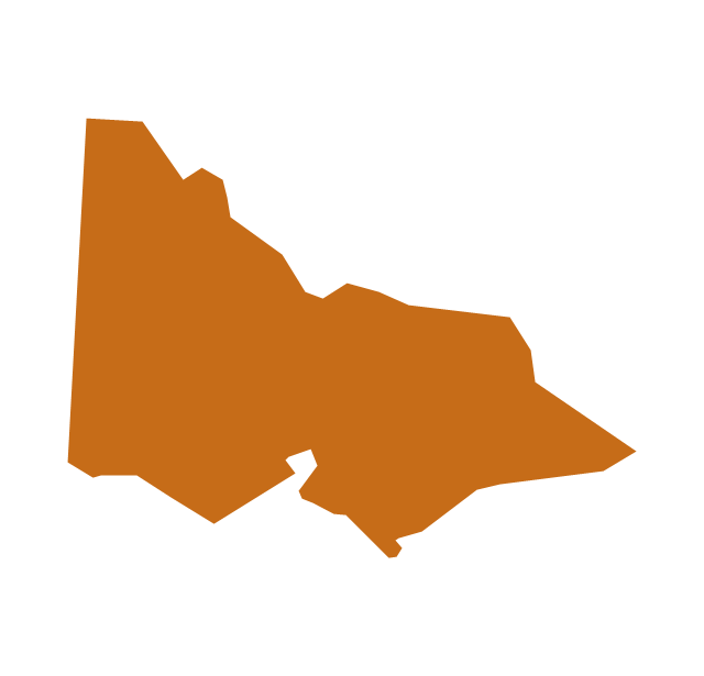
Geo Map - Australia - Victoria

Victoria (abbreviated as Vic.) is a state in the south-east of Australia. Victoria is Australia's most densely populated state and its second-most populous state overall.

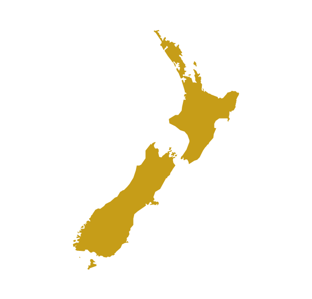
Geo Map - Australia - New Zealand
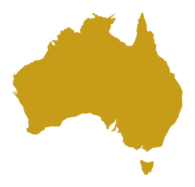
The vector stencils library Australia contains contours of New Zealand and Australian states and mainland territories for ConceptDraw PRO diagramming and vector drawing software.

Geo Map - Australia

The vector stencils library Australia contains contours of New Zealand and Australian states and mainland territories for ConceptDraw PRO diagramming and vector drawing software.

Australia Map — New South Wales

New South Wales (abbreviated as NSW) is a state on the east coast of Australia.
Maps surround us everywhere in our life, study, work, traveling, they are widely used in geography, history, politics, economics, and many other fields of science and life activity. But designing of maps is usually complex and labor-intensive process. Now we have the possibility to make easier this process - ConceptDraw PRO diagramming and vector drawing software extended with Australia Map Solution from the Maps Area of ConceptDraw Solution Park will help us in easy drawing detailed Australia map.

Geo Map - South America - Puerto Rico

Puerto Rico, officially the Commonwealth of Puerto Rico, is an unincorporated territory of the United States, located in the northeastern Caribbean east of the Dominican Republic and west of both the United States Virgin Islands and the British Virgin Islands.
The vector stencils library Puerto Rico contains contours for ConceptDraw PRO diagramming and vector drawing software. This library is contained in the Continent Maps solution from Maps area of ConceptDraw Solution Park.

Geo Map - World

ConceptDraw PRO is idea to draw the geological maps of World from the pre-designed vector geo map shapes.
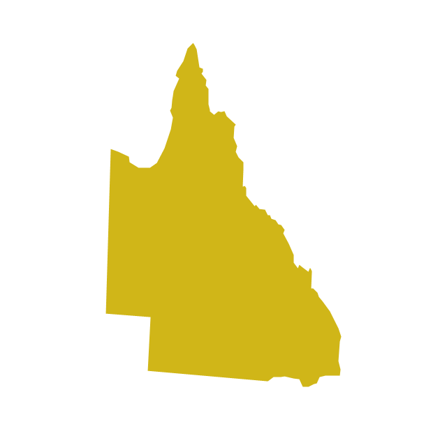
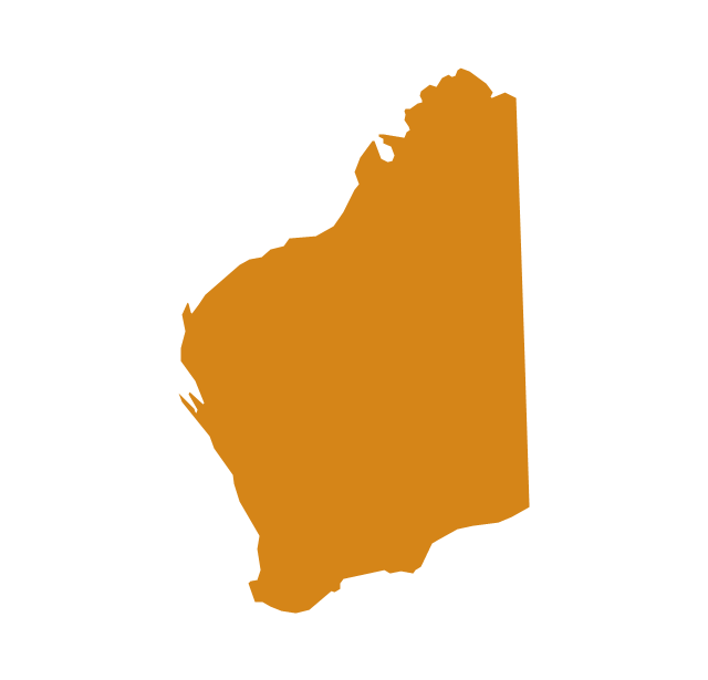
The vector stencils library "Australia and New Zealand" contains 10 contours for drawing thematic maps of Australia and New Zealand.
Use it in your spatial infographics for visual representation of geospatial information, statistics and quantitative data in the ConceptDraw PRO diagramming and vector drawing software extended with the Spatial Infographics solution from the area "What is Infographics" of ConceptDraw Solution Park.
Australia
Australia, Australia, Australia map,
Australia (states)
Australia (states), Australia, Australia map,
New South Wales
New South Wales, New South Wales,
Northern Territory
Northern Territory, Northern Territory,
Queensland
Queensland, Queensland,
South Australia
South Australia, South Australia,
Tasmania
Tasmania, Tasmania,
Victoria
Victoria, Victoria,
Western Australia
Western Australia, Western Australia,
New Zealand
New Zealand, New Zealand, New Zealand map,

Map of Continents

A continent is one of several very large landmasses on Earth. ConceptDraw PRO diagramming and vector drawing software offers the unique Continent Maps Solution from the Maps Area which is indispensable for drawing the map of continents of the Earth.

Geo Map - Asia - Papua New Guinea

Papua New Guinea, officially named the Independent State of Papua New Guinea, is a country in Oceania that occupies the eastern half of the island of New Guinea (the western portion of the island is a part of the Indonesian provinces of Papua and West Papua) and numerous offshore islands.
The vector stencils library Papua New Guinea contains contours for ConceptDraw PRO diagramming and vector drawing software. This library is contained in the Continent Maps solution from Maps area of ConceptDraw Solution Park.

Geo Map - Canada - Yukon

Yukon is the westernmost and smallest of Canada's three federal territories. Whitehorse is the territorial capital.
The vector stencils library Yukon contains contours for ConceptDraw PRO diagramming and vector drawing software. This library is contained in the Continent Maps solution from Maps area of ConceptDraw Solution Park.

Geo Map - Oceania

The vector stencils library Oceania contains contours for ConceptDraw PRO diagramming and vector drawing software.

Types of Map - Overview

ConceptDraw defines some map types, divided into three categories. Every map type has specific shapes and examples.

Network Icon

ConceptDraw PRO diagramming and vector drawing software extended with Computer Network Diagrams Solution from the Computer and Networks Area offers a set of useful tools, collection of templates, samples, and libraries of various computer symbols, computer devices icons, computer network icon for fast and easy drawing network computer diagrams and illustrations.

australia map, map of australia, map australia Australia Map

australia map, map of australia, map australia
For graphic artists creating accurate maps of Australia. The Australia Map solution - allows designers to map Australia for their needs, offers a collection of scalable graphics representing the political geography of Australia, split into distinct state

World Continents Map

ConceptDraw PRO diagramming and vector drawing software enhanced with Continent Maps Solution from the Maps Area is the best for drawing geographic, topography, political, and many other kinds of maps for any of seven earth continents and also world continents map of any detailing.