Geo Map — USA — Iowa

Southwest Asia region comprises countries: Turkey, Georgia, Azerbaijan, Armenia, Syria, Lebanon, Israel, Jordan, Iraq, Kuwait, Cyprus, Saudi Arabia, Bahrain, United Arab Emirates, Oman, Qatar, Yemen.
This political map sample was redesigned from the Wikimedia Commons file: Southwest-Asia-map.PNG.
[commons.wikimedia.org/ wiki/ File:Southwest-Asia-map.PNG]
The example "Southwest Asia - Political map" was created using the ConceptDraw PRO diagramming and vector drawing software extended with the Continent Maps solution from the Maps area of ConceptDraw Solution Park.
Political map - Southwest Asia
Geo Map — USA — Minnesota

Geo Map — USA — New Jersey

"A state of the United States of America is one of the 50 constituent political entities that shares its sovereignty with the United States federal government."
[U.S. state. Wikipedia]
This political map example was redesigned from the Wikimedia Commons file: Map of USA with state names 2.svg.
[commons.wikimedia.org/ wiki/ File:Map_ of_ USA_ with_ state_ names_ 2.svg]
This file is licensed under the Creative Commons Attribution-Share Alike 3.0 Unported license. [creativecommons.org/ licenses/ by-sa/ 3.0/ deed.en]
The example "Map of USA with state names" was created using the ConceptDraw PRO diagramming and vector drawing software extended with the Continent Map solution from the Maps area of ConceptDraw Solution Park.
Political map - USA

Geo Map — USA — California

Geo Map — USA — Ohio

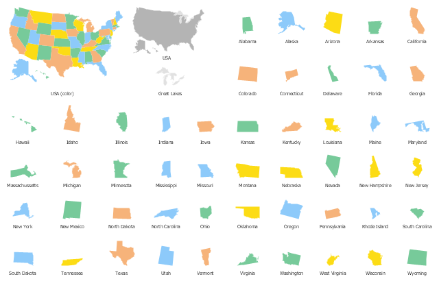
 USA Maps
The USA Maps solution can be used as an additional tool to the ConceptDraw DIAGRAM diagramming and drawing software. Each of the pre-made maps that are available to be taken from this solution is scaled. The USA Maps solution allows using the option of adding further details such as country’s borders, states’ names, their capitals and major cities that can be either shown or hidden by using the action menu for each of the state maps. The solution is incredibly useful for all who have an international business working with people, providing other countries products from the USA, or making purchases to supply those who live in the US with.
Geo Map — USA — Maine

Geo Map — USA — New York

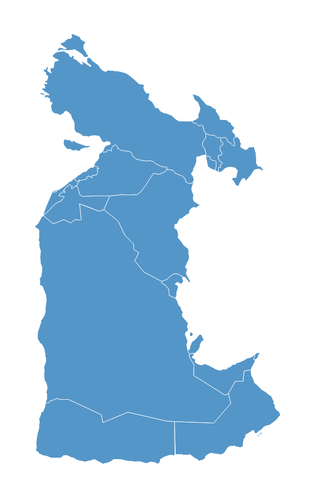
Geo Map — South America — Peru

Geo Map — USA — Massachusetts

Geo Map — USA — Louisiana

USA Maps

Geo Map - South America - Guyana

Geo Map - South America - Suriname

Use the map contours library "United States of America" to design thematic maps using the ConceptDraw PRO diagramming and vector drawing software.
The vector stencils library "United States of America" contains 53 map contours: US political map, map contours of states.
The clipart example "Design elements - USA" is included in the Continent Maps solution from the Maps area of ConceptDraw Solution Park.
The vector stencils library "United States of America" contains 53 map contours: US political map, map contours of states.
The clipart example "Design elements - USA" is included in the Continent Maps solution from the Maps area of ConceptDraw Solution Park.
USA map contours
Geo Map - South America - Nicaragua

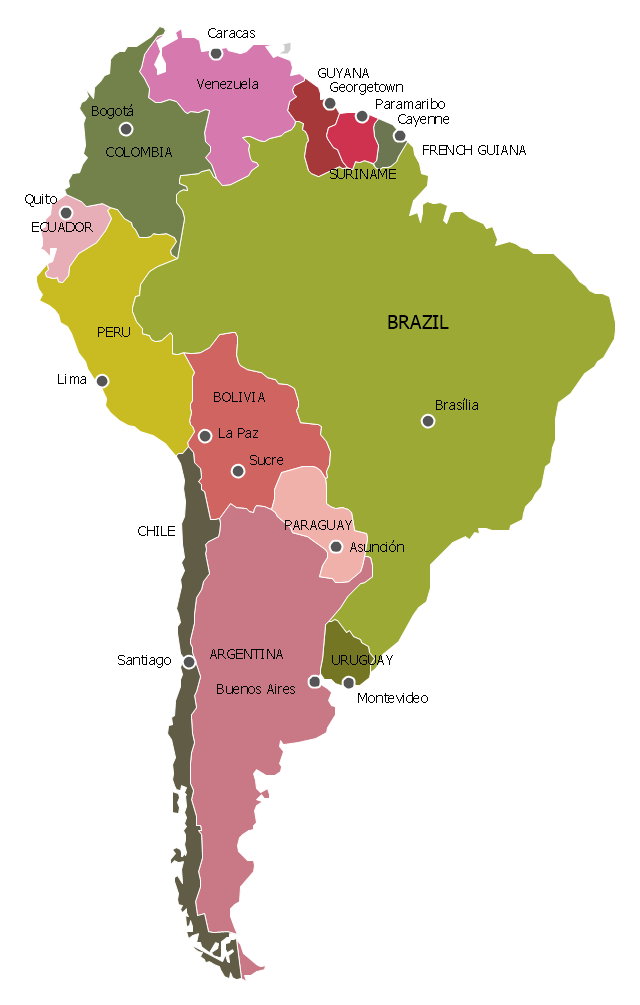
"South America is a continent located in the Western Hemisphere, mostly in the Southern Hemisphere, with a relatively small portion in the Northern Hemisphere. It can also be considered as a subcontinent of the Americas.
It is bordered on the west by the Pacific Ocean and on the north and east by the Atlantic Ocean; North America and the Caribbean Sea lie to the northwest. It includes twelve sovereign states – Argentina, Bolivia, Brazil, Chile, Colombia, Ecuador, Guyana, Paraguay, Peru, Suriname, Uruguay, and Venezuela – and two non-sovereign areas – French Guiana, an overseas department of France, and the Falkland Islands, a British Overseas Territory (though disputed by Argentina). In addition to this, the ABC islands of the Netherlands may also be considered part of South America. ... Countries and territories: Argentina, Bolivia, Brazil, Chile, Colombia, Ecuador, Falkland Islands (United Kingdom), French Guiana (France), Guyana, Paraguay, Peru, South Georgia and the South Sandwich Islands (United Kingdom), Suriname, Uruguay, Venezuela." [South America. Wikipedia]
This political map sample was redesigned from the Wikimedia Commons file: Map of South America.svg. [commons.wikimedia.org/ wiki/ File:Map_ of_ South_ America.svg]
This file is licensed under the Creative Commons Attribution-Share Alike 3.0 Unported license. [creativecommons.org/ licenses/ by-sa/ 3.0/ deed.en]
The example "South America - Political map" was created using the ConceptDraw PRO diagramming and vector drawing software extended with the Continent Maps solution from the Maps area of ConceptDraw Solution Park.
Political map - South America
Geo Map — USA — Alaska

- Map of Continents | Politics Png - Conceptdraw.com
- Geo Map - Europe | South America regions - Political map | Andean ...
- North Asia | Political map of Central America | North Png
- Political map of Central America | North America Continent Png
- Political map of Central America | Central America Png
- Geo Map - USA - Vermont | Geo Map - Europe | North Asia - Political ...
- South America regions - Political map | Latin America - Vector ...
- Middle East - Political map | Middle East Map In Blue Png Format
- Political map | Geo Map - South America - Ecuador | Png Map Bolivia