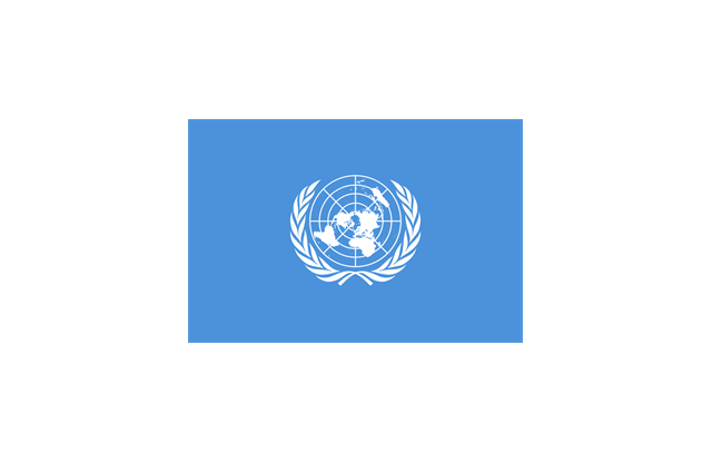
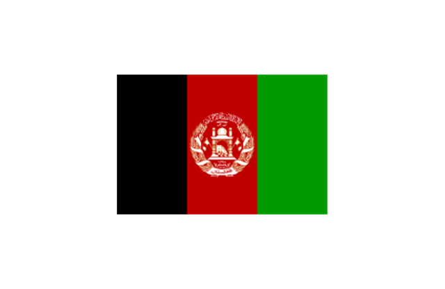
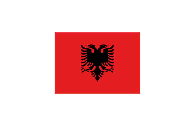
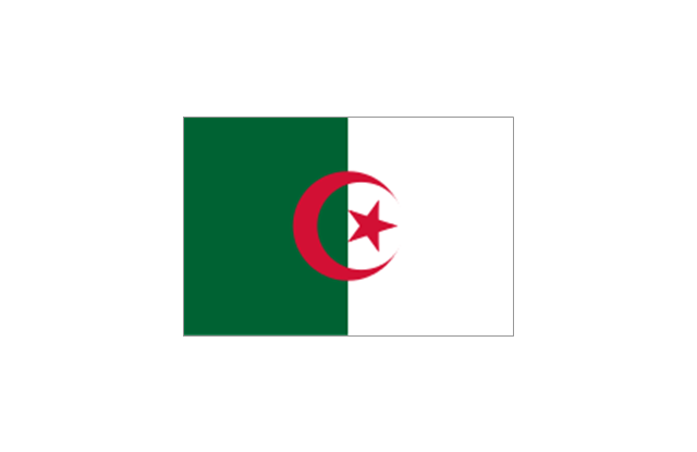
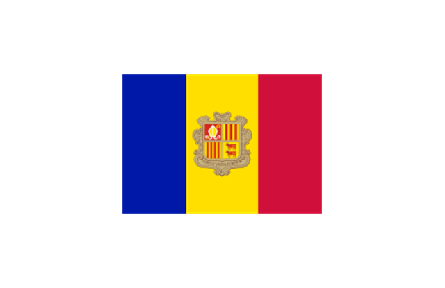
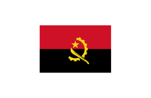
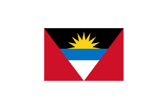
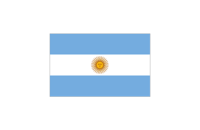
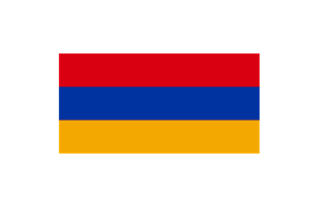
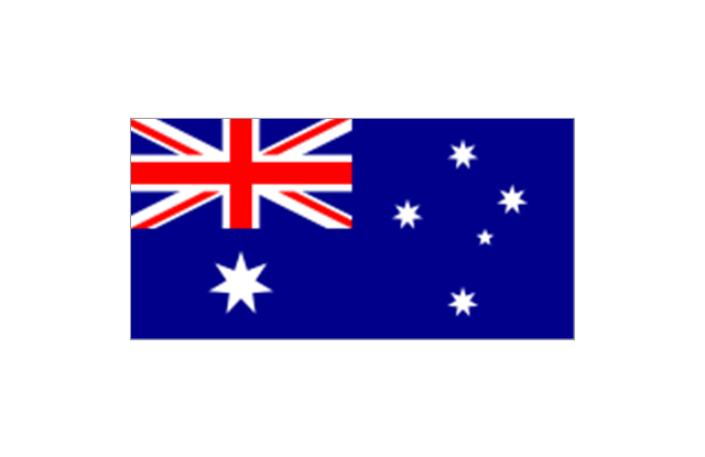
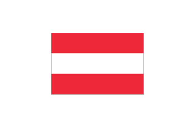
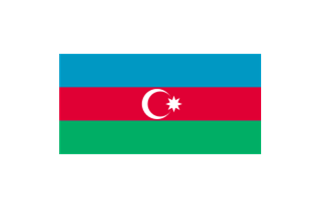
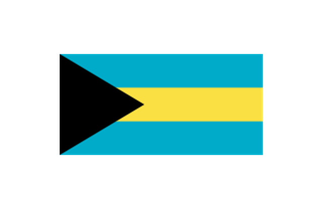
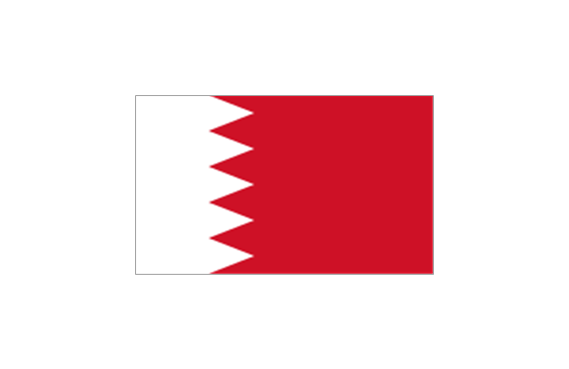
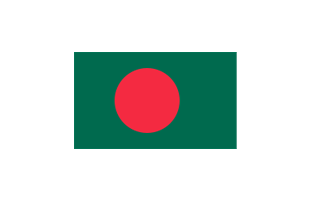
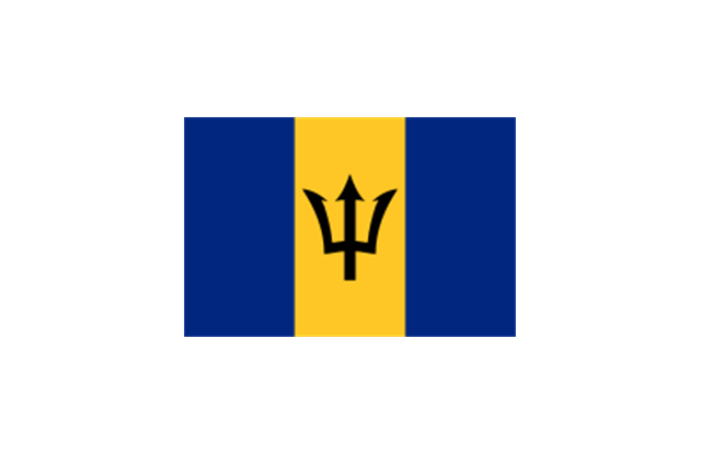
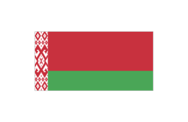
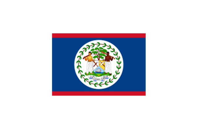
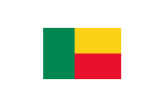
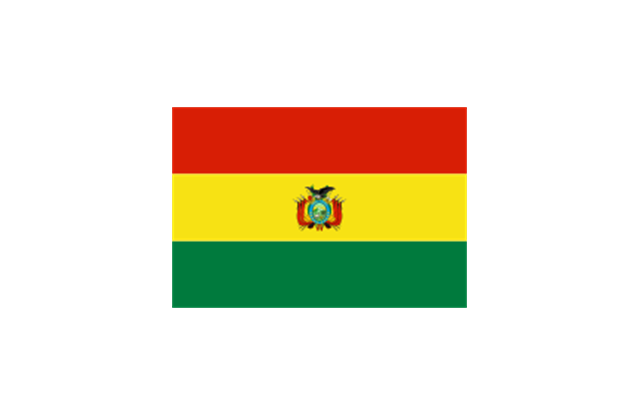
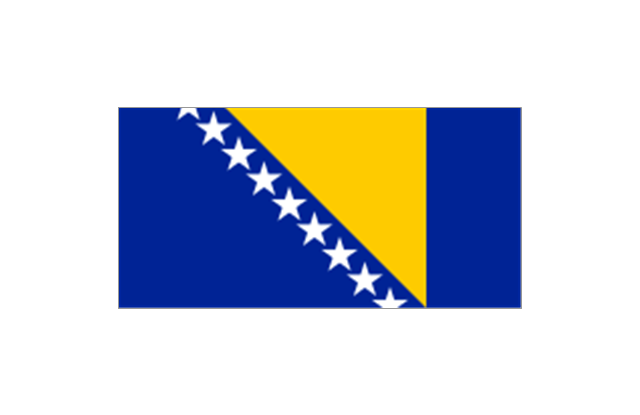
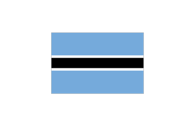
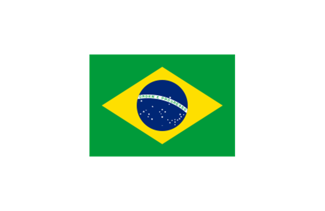
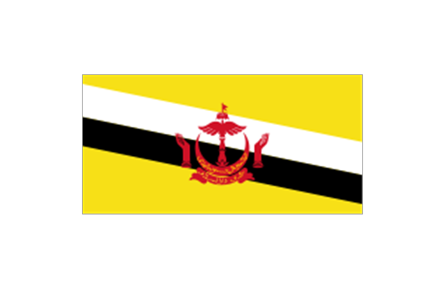
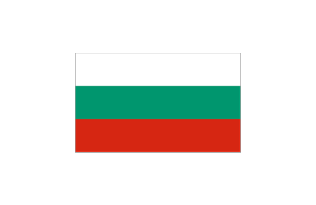
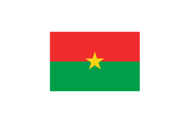
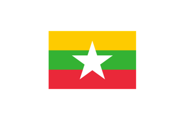
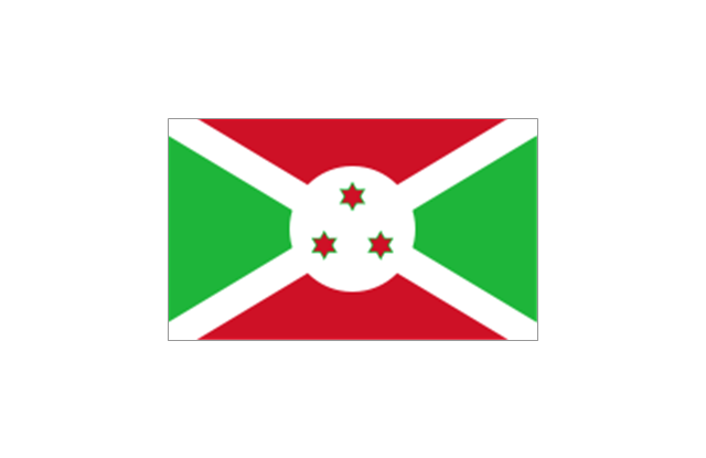
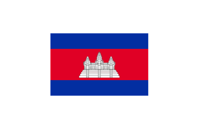
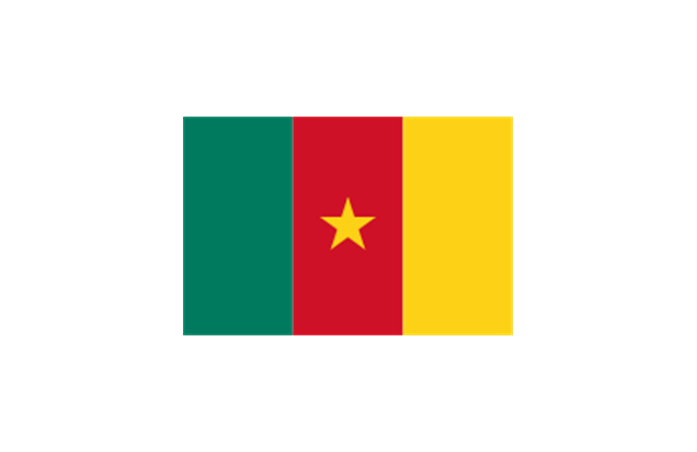
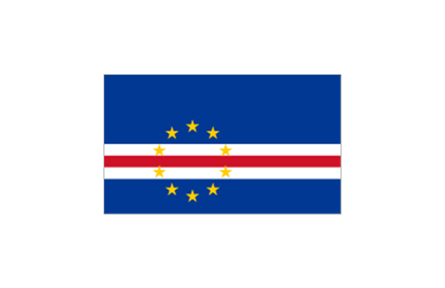
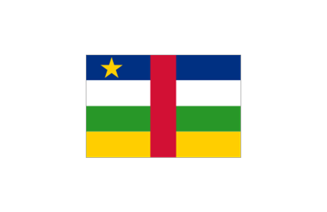
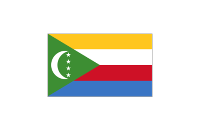
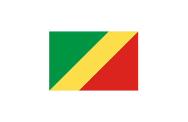
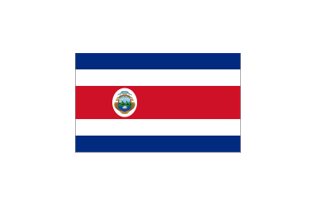
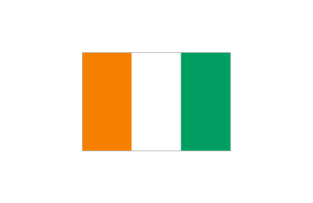
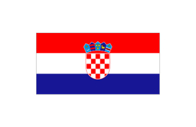
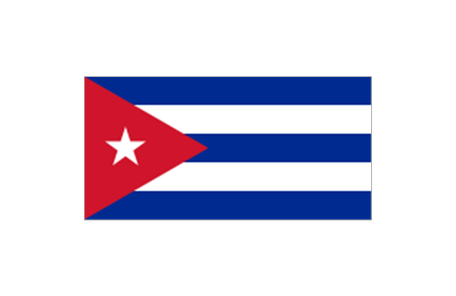
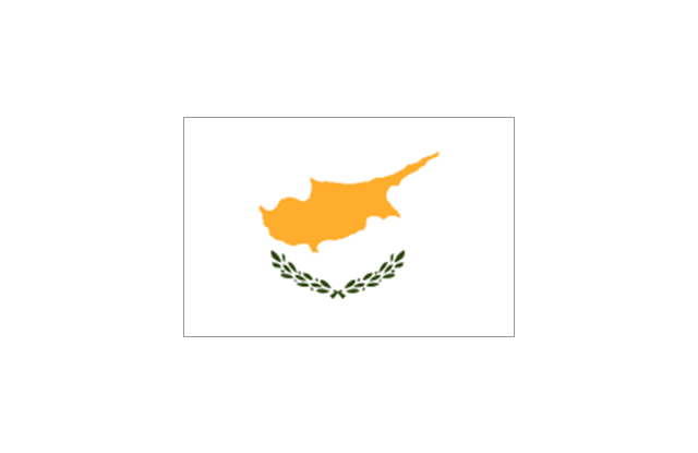
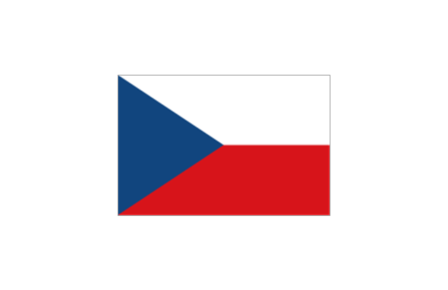
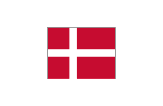
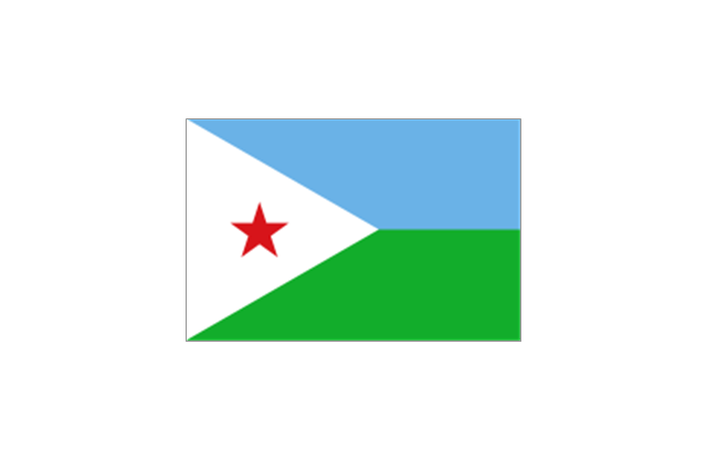
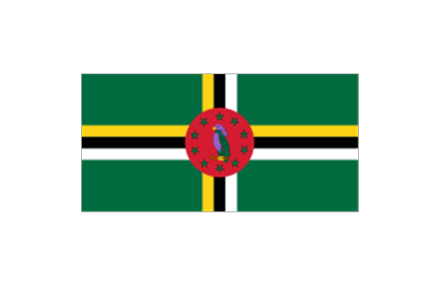
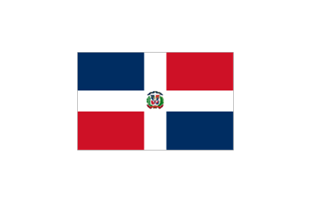
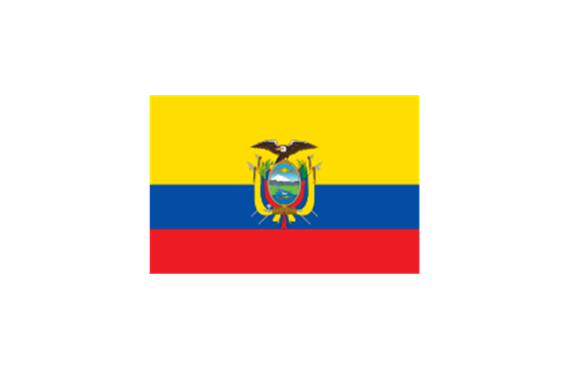
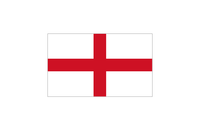
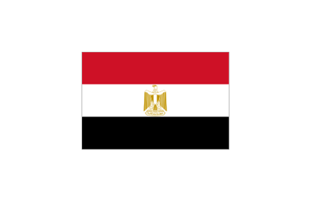
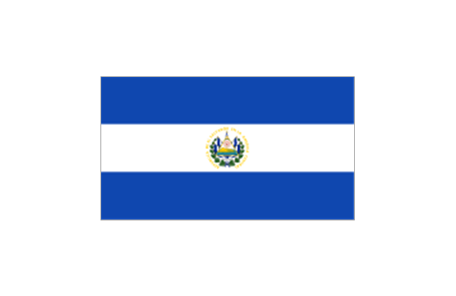
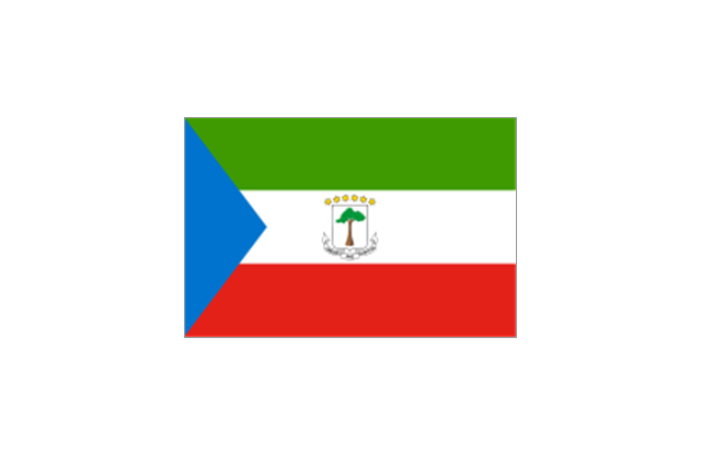
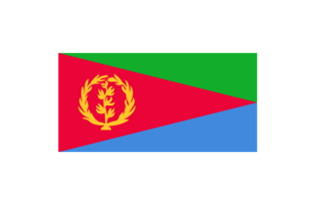
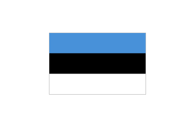
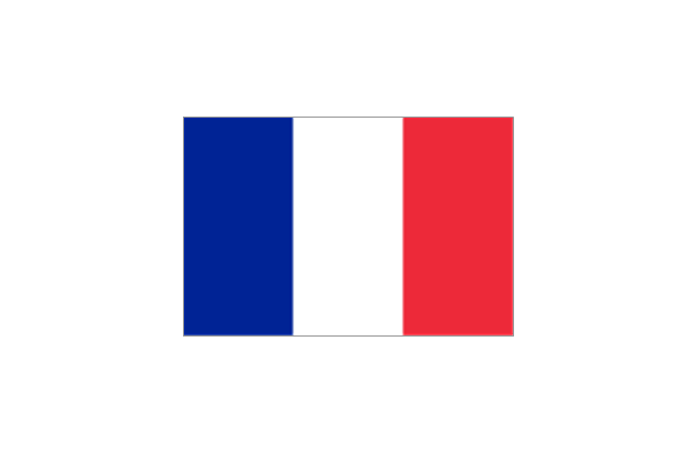
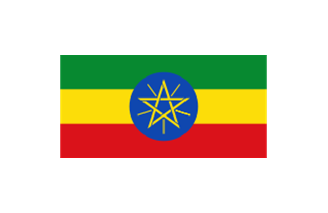
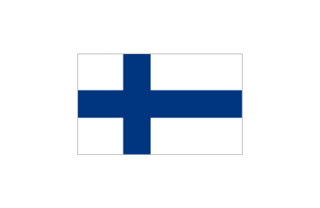
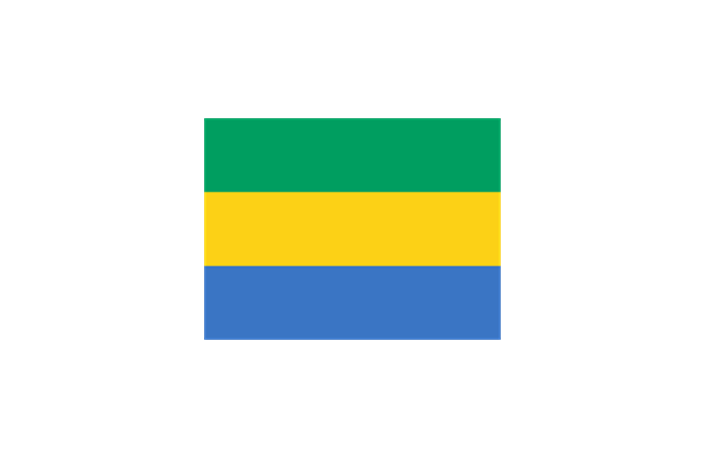
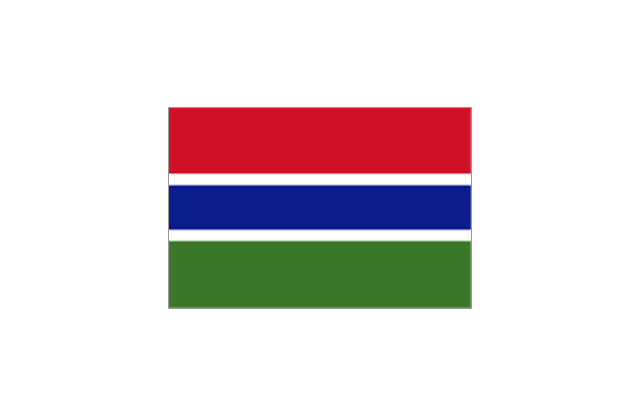
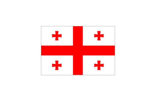
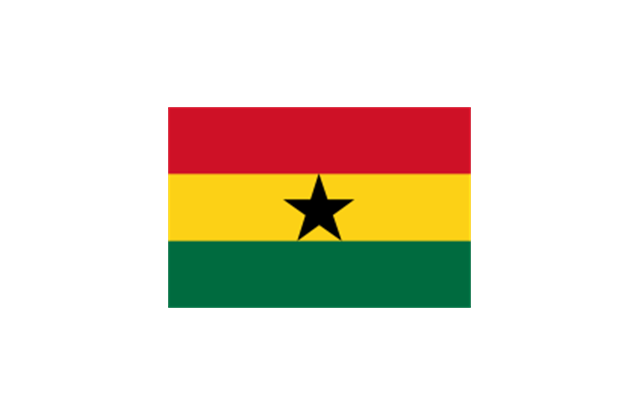
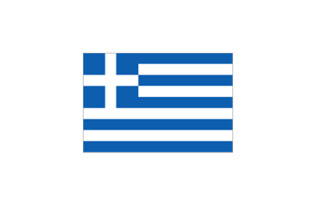
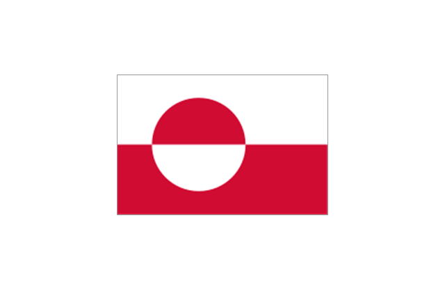
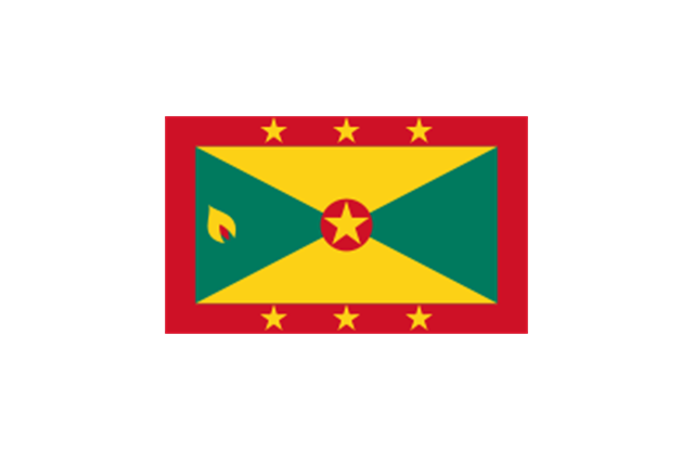
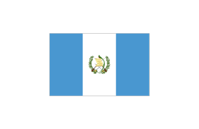
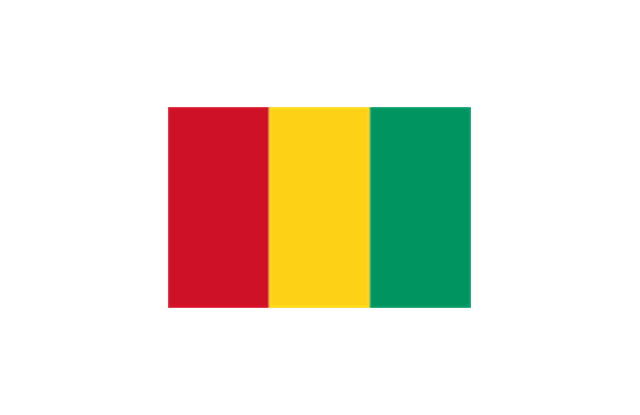
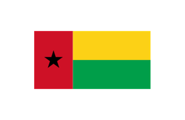
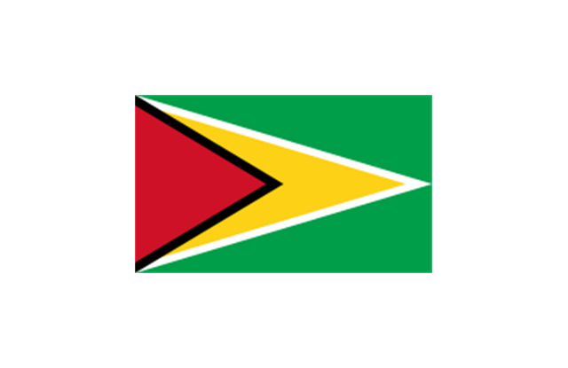
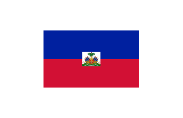
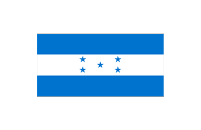
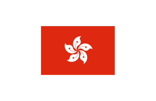
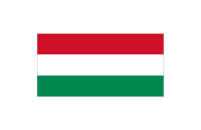
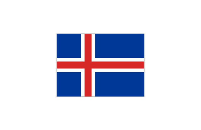
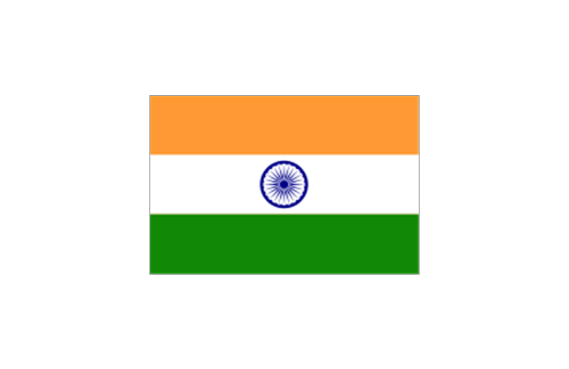
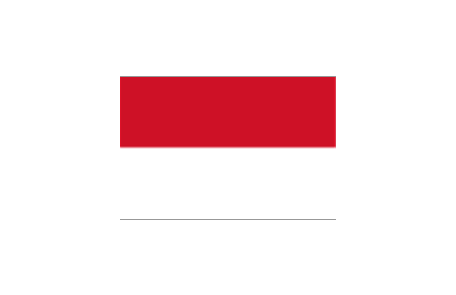
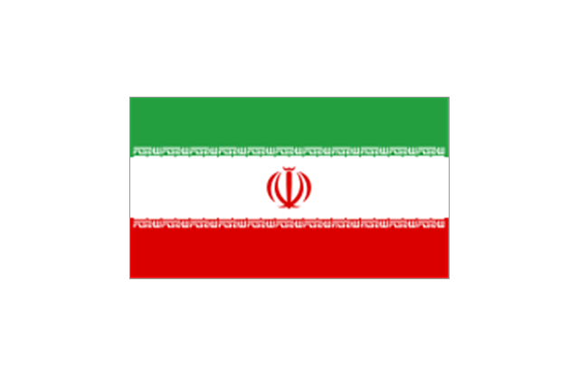
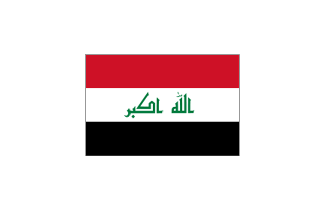
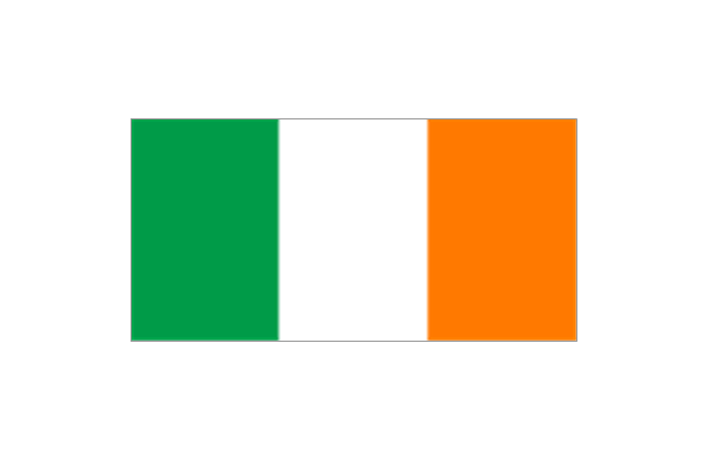
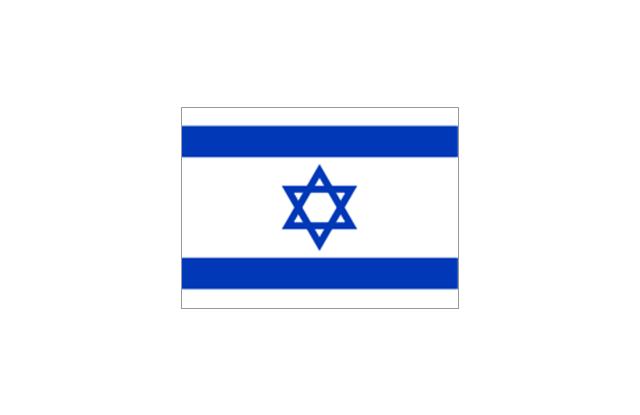
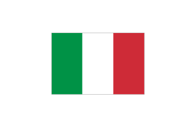
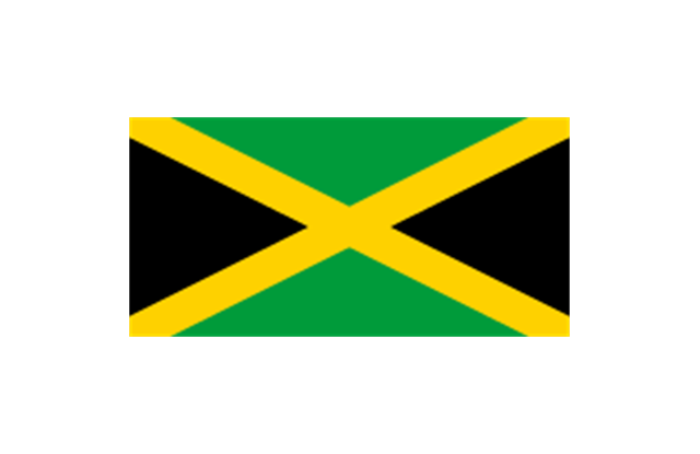
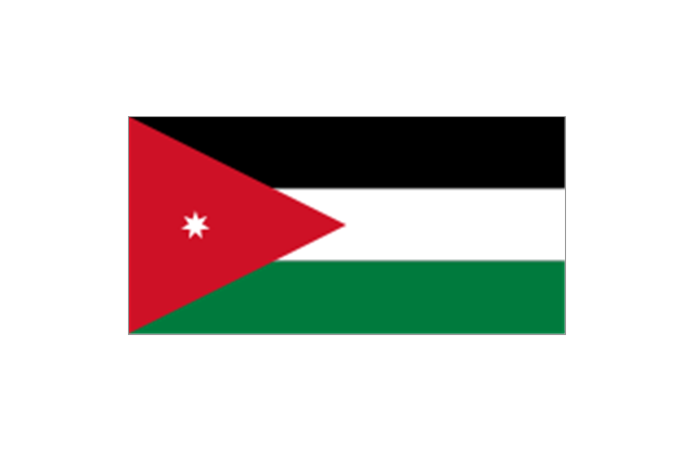
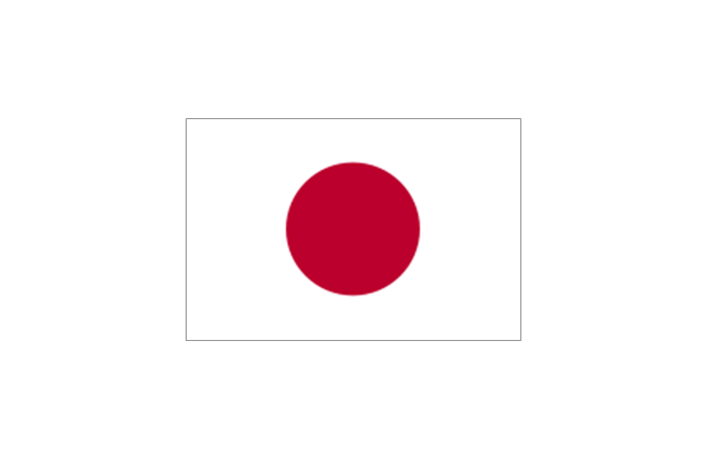
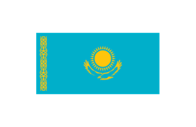
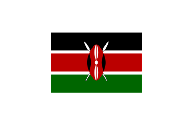
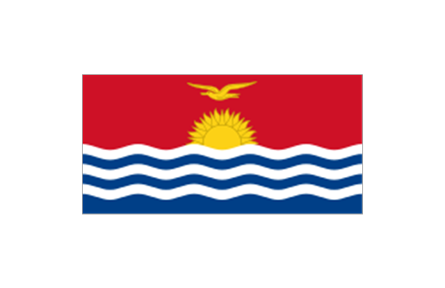
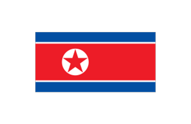
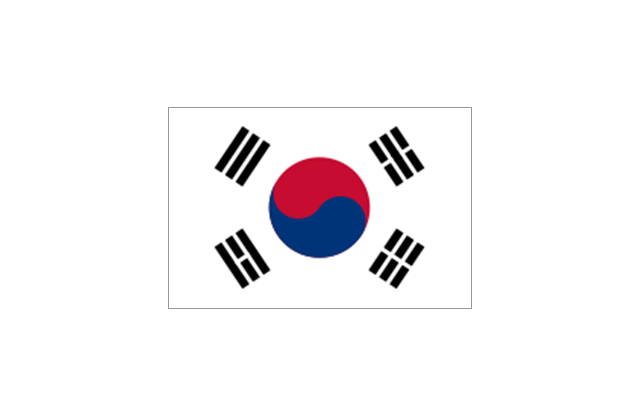
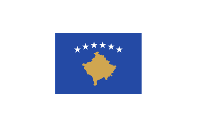
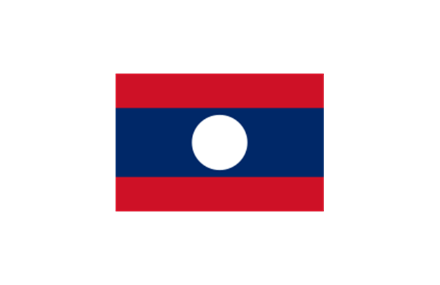
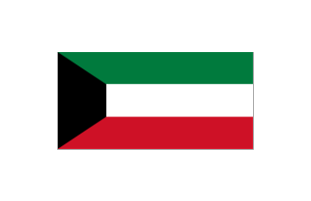
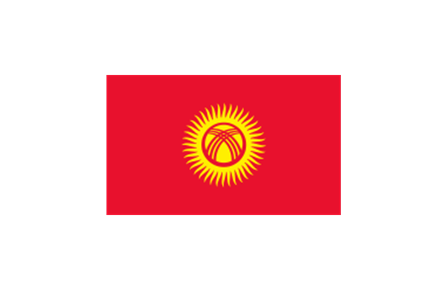
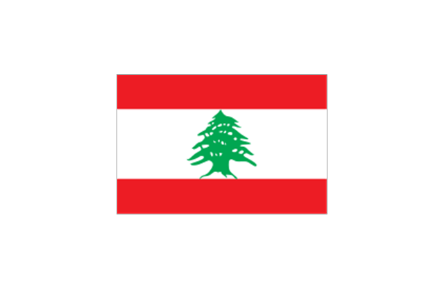
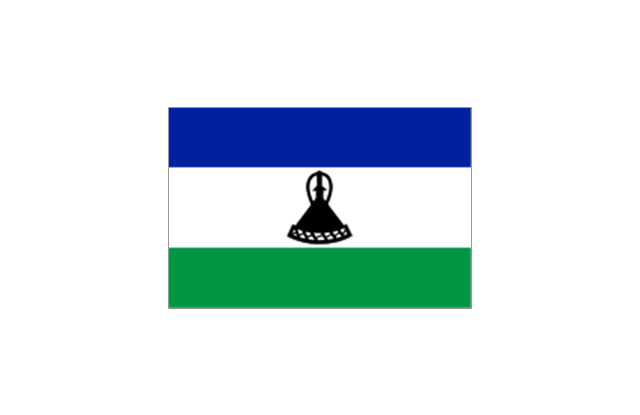
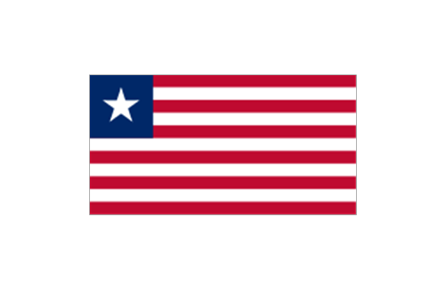
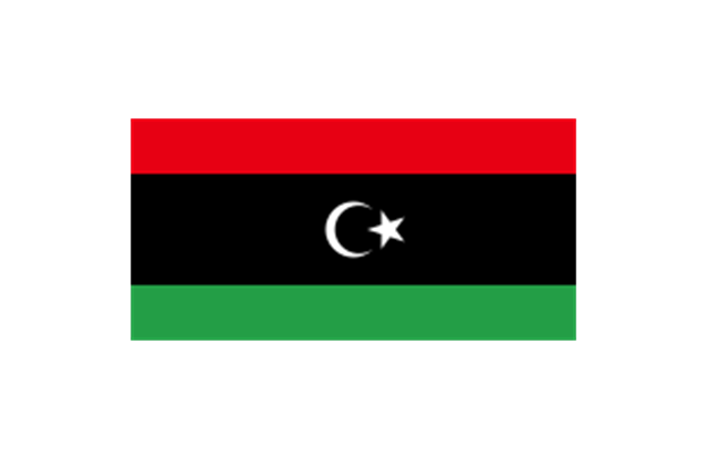
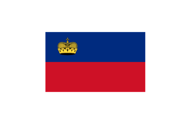
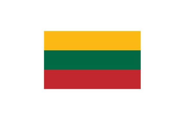
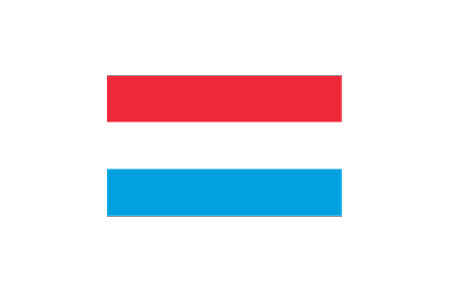
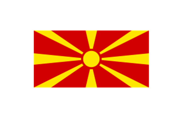
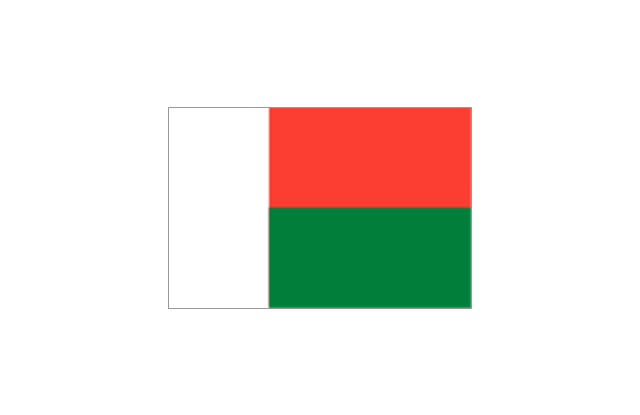
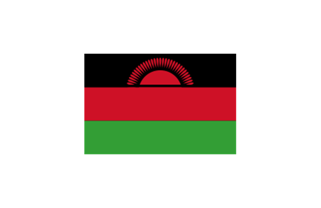
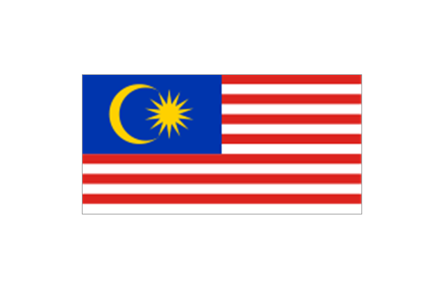
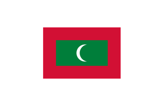
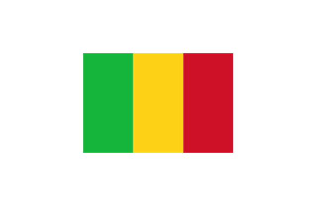
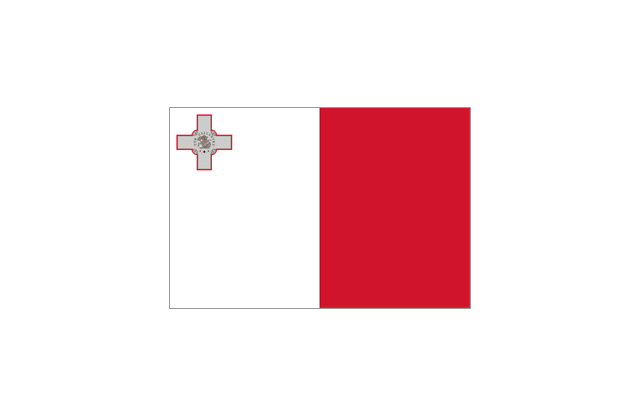
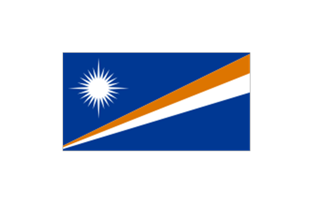
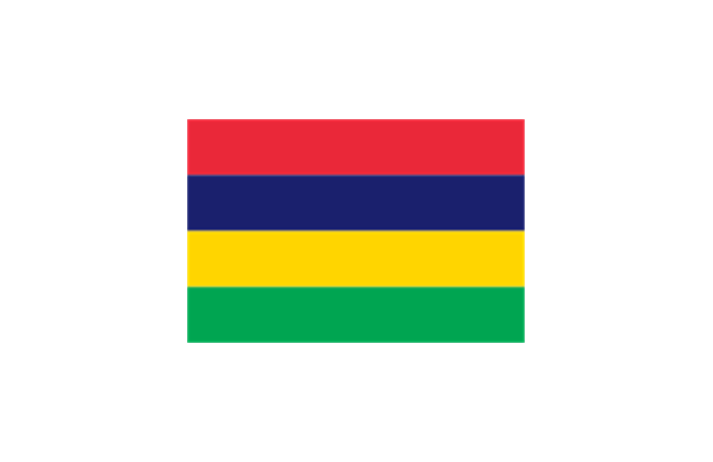
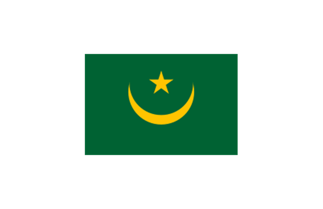
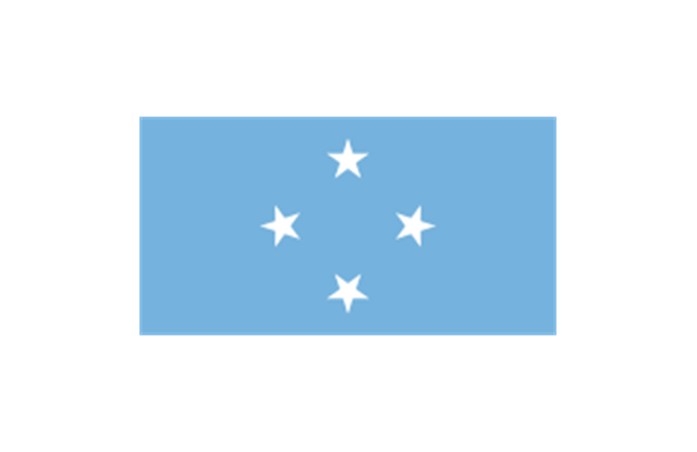
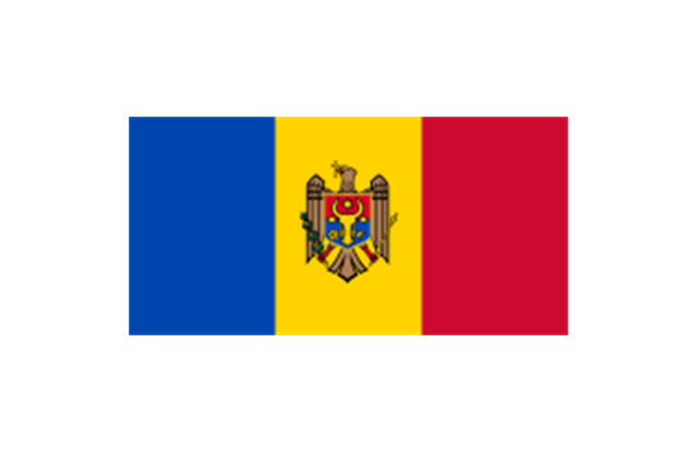
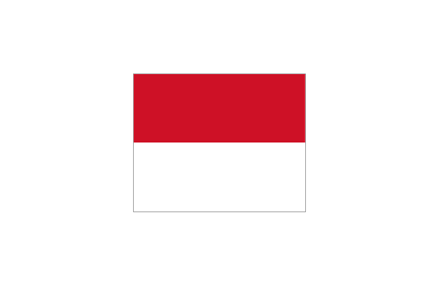
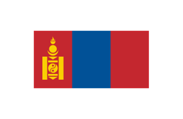
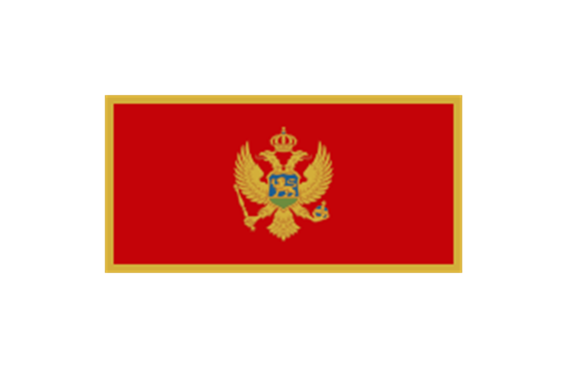
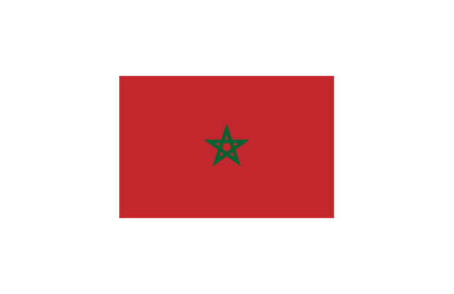
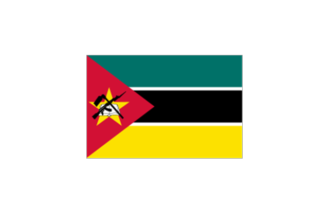
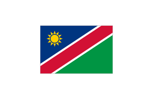
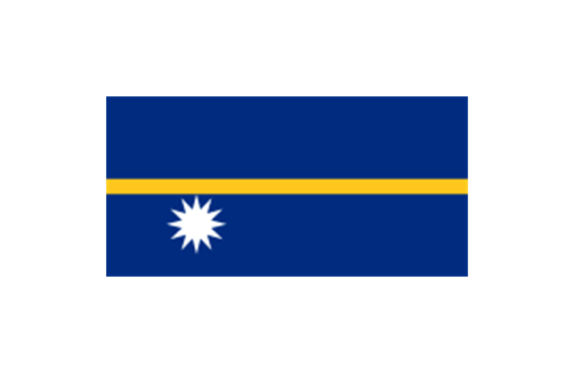
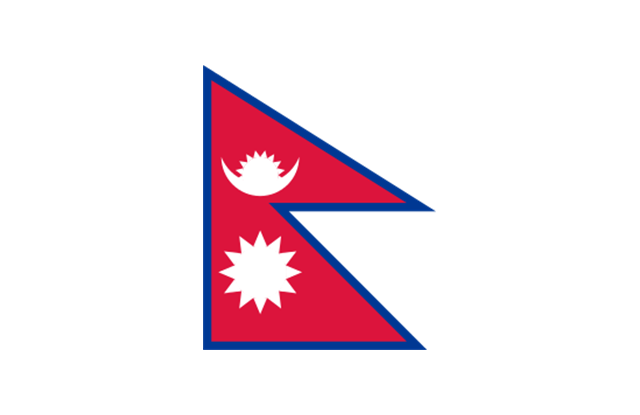
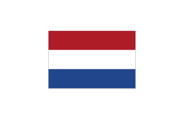
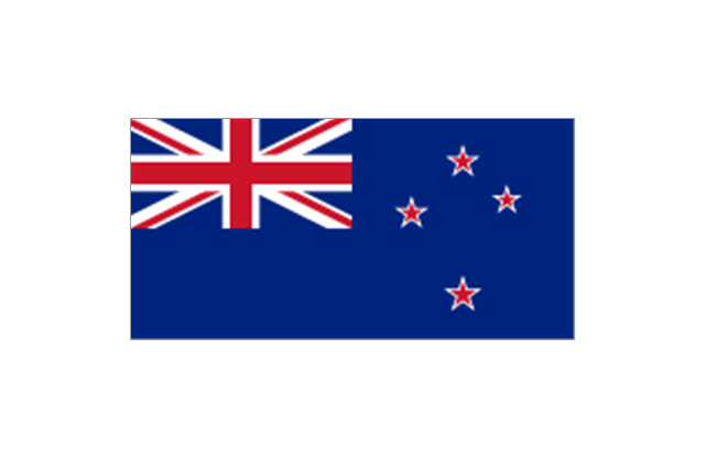
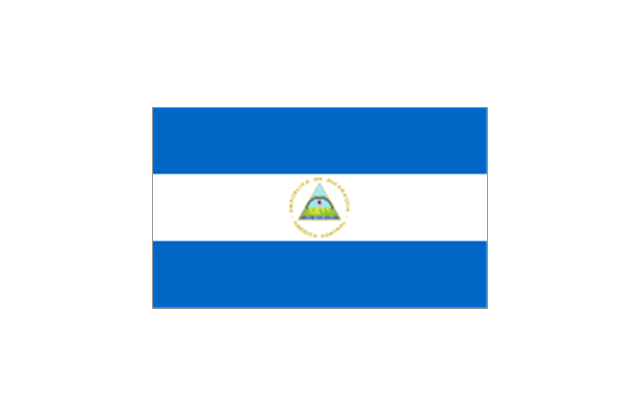
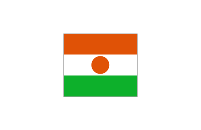
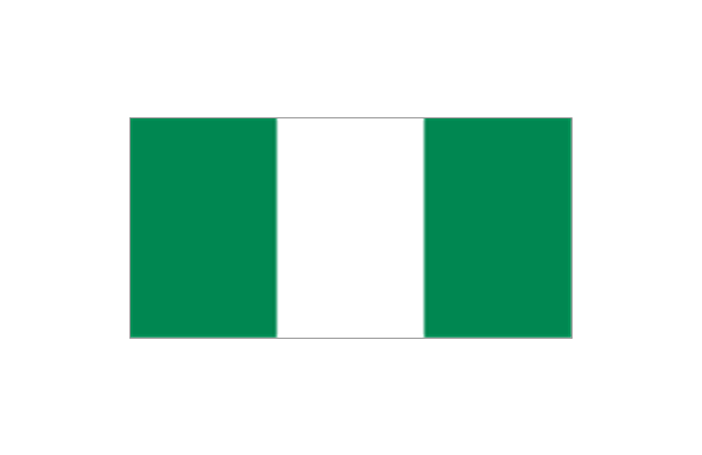
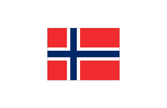
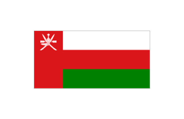
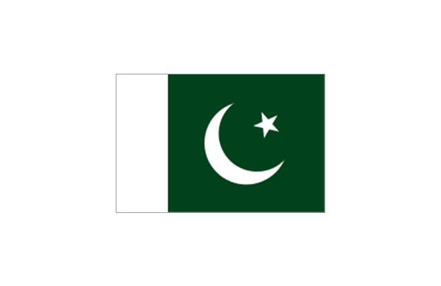
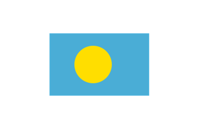
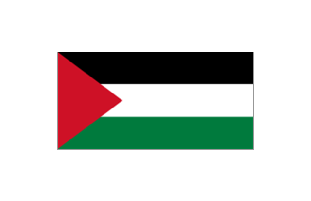
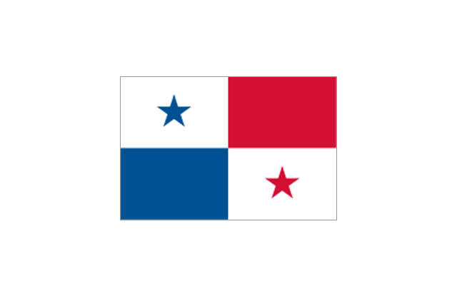
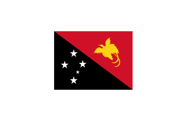
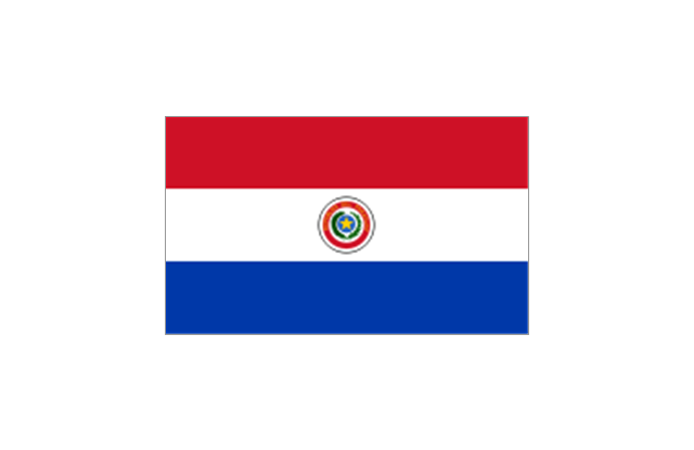
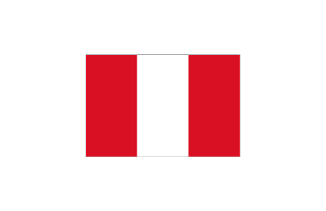
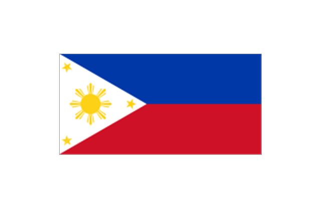
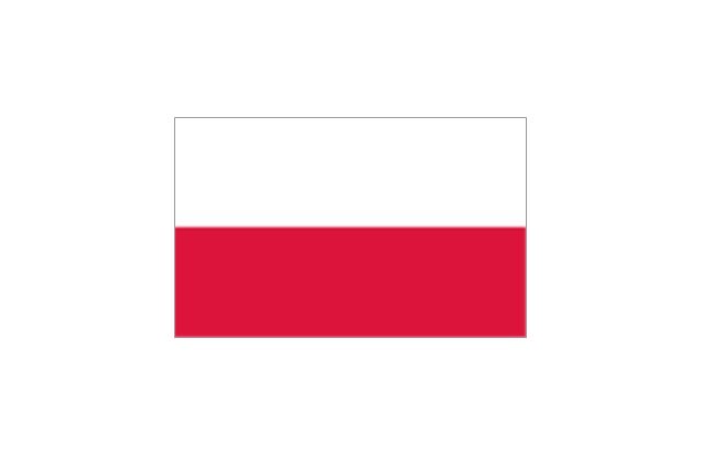
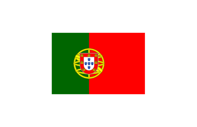
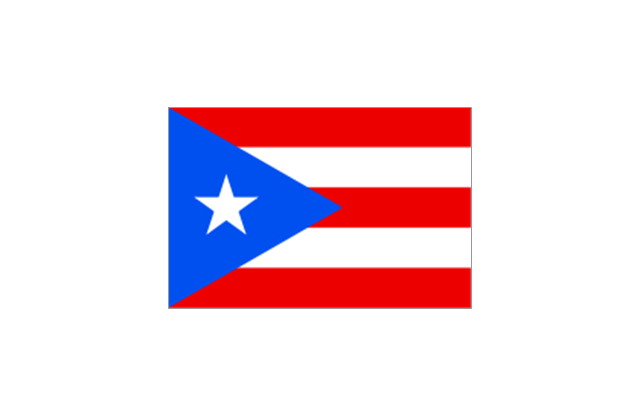
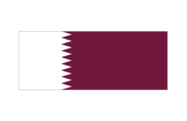
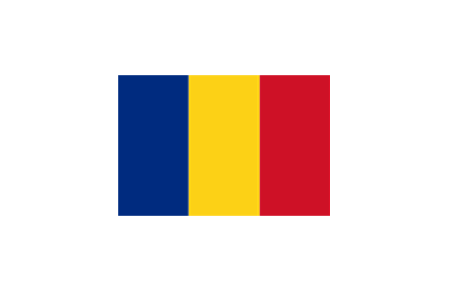
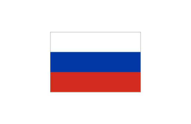
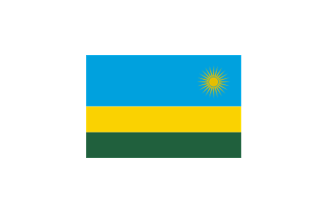
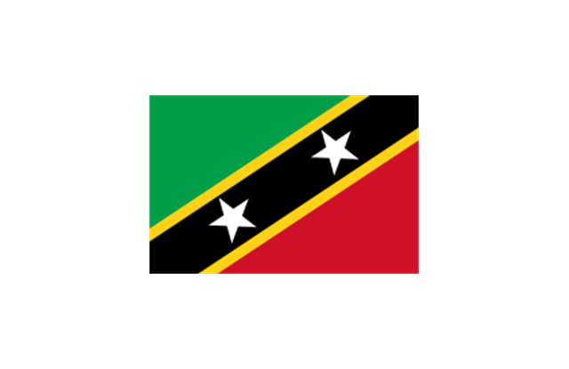
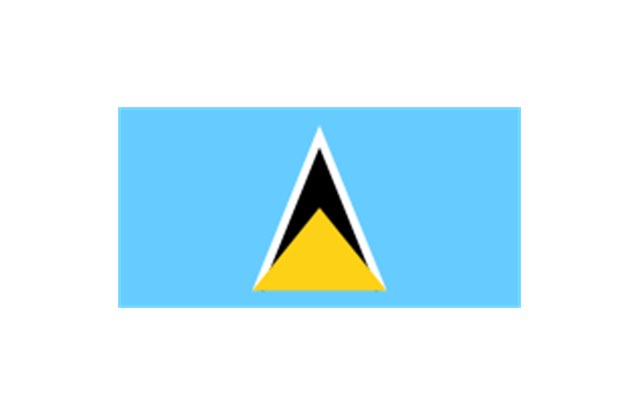
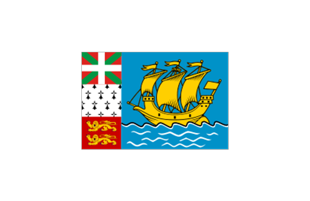
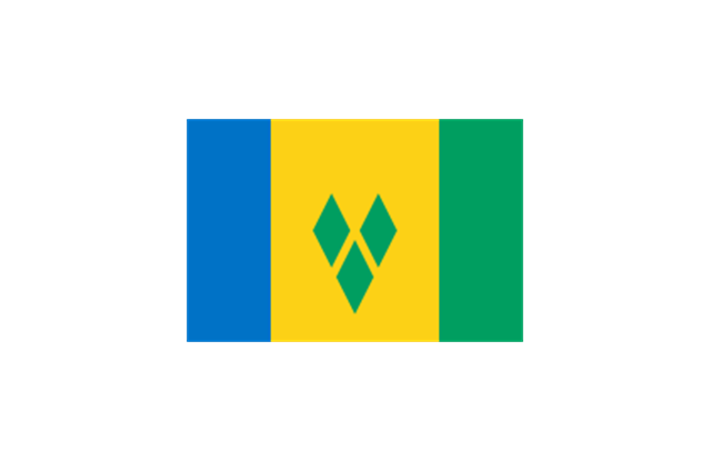
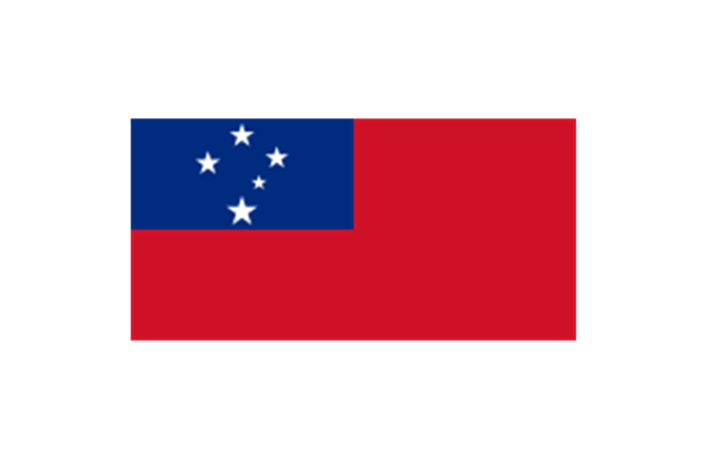
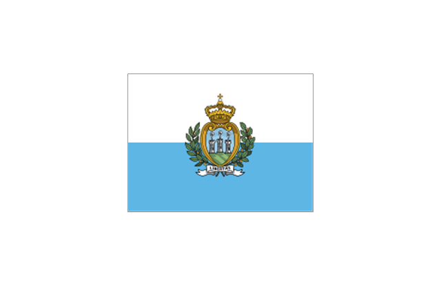
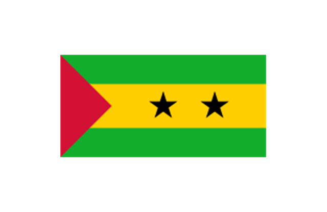
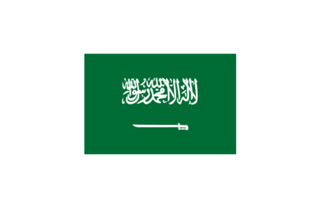
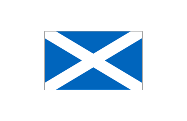
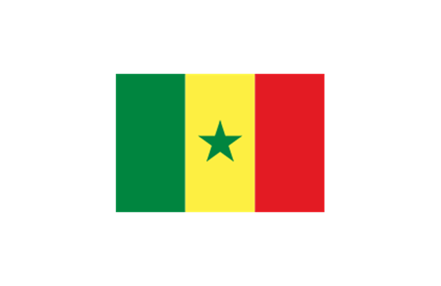
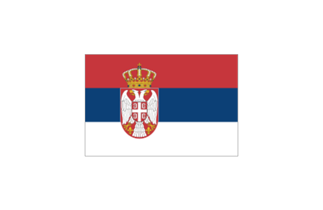
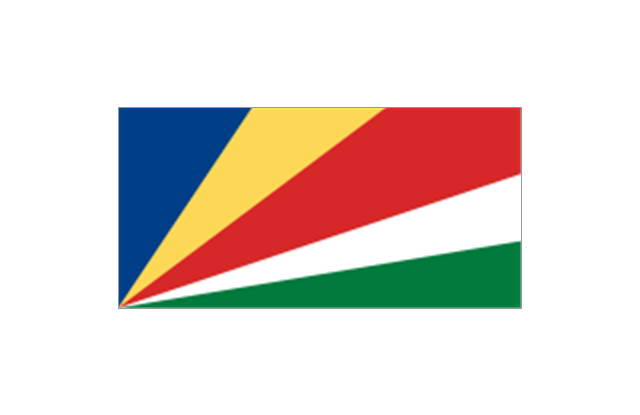
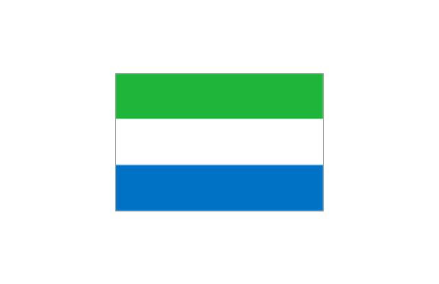
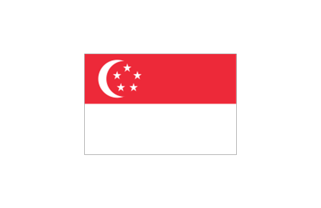
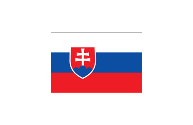
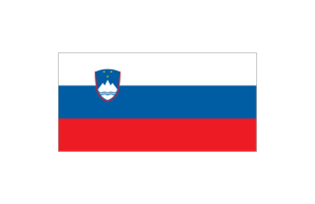
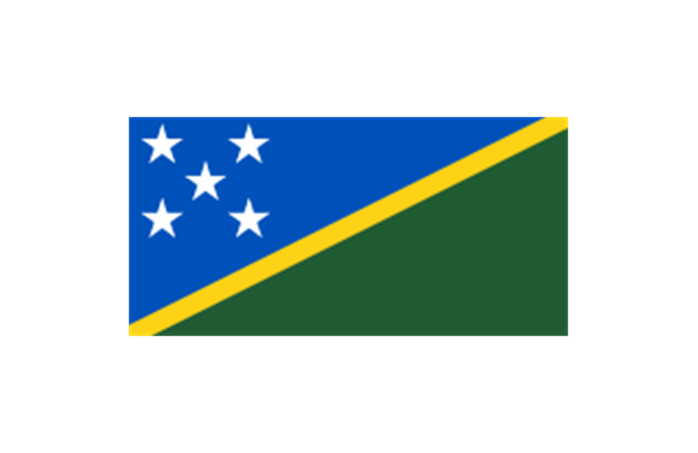
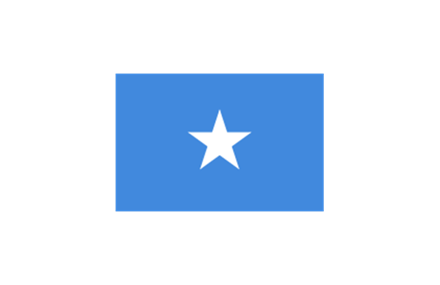
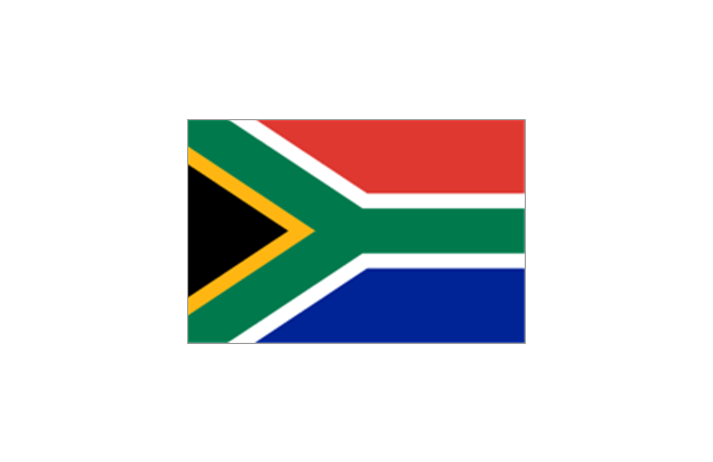
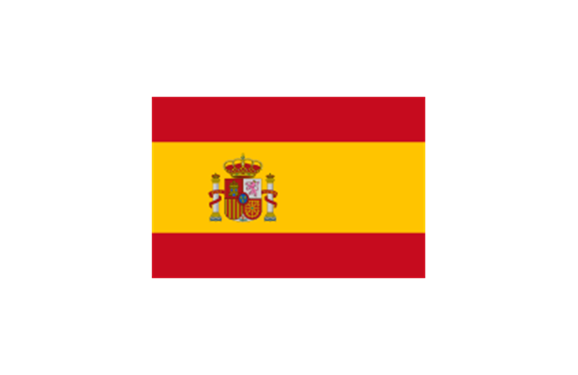
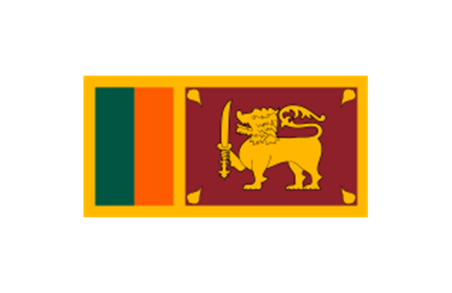
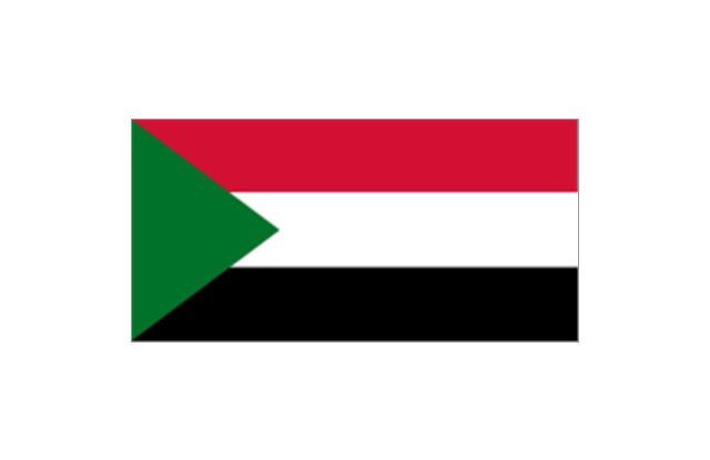
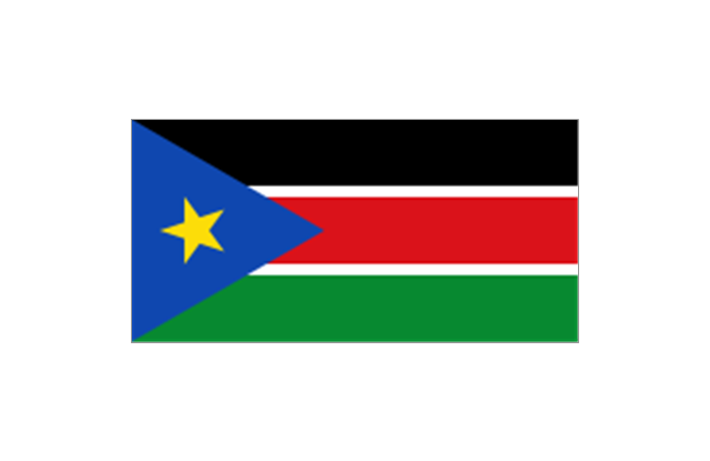
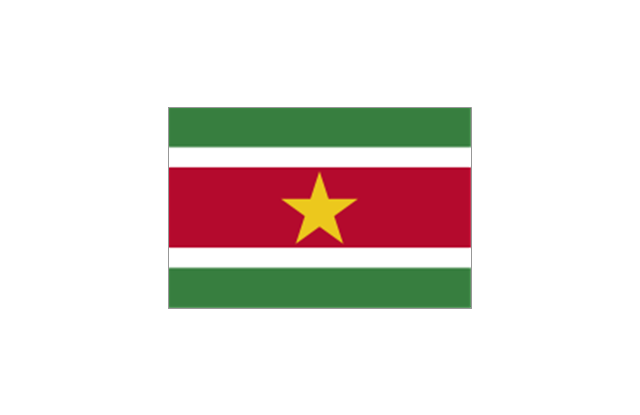
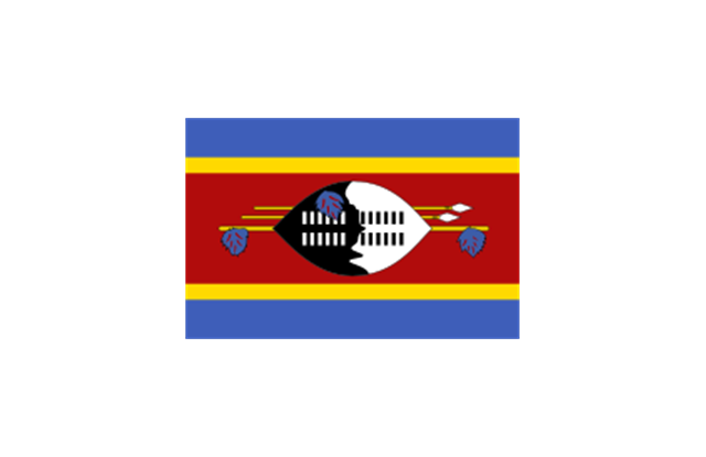
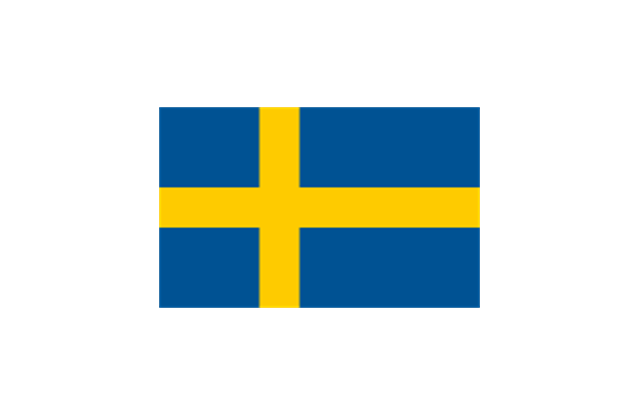
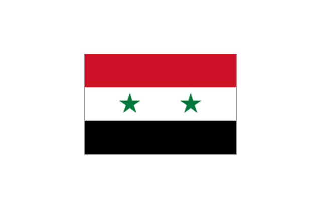
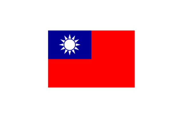
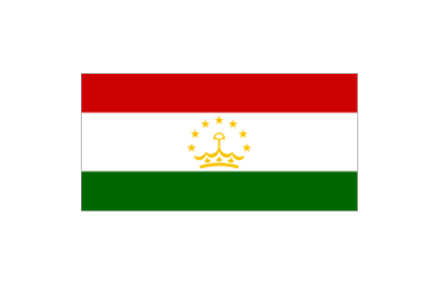
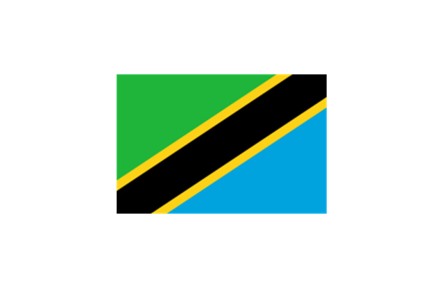
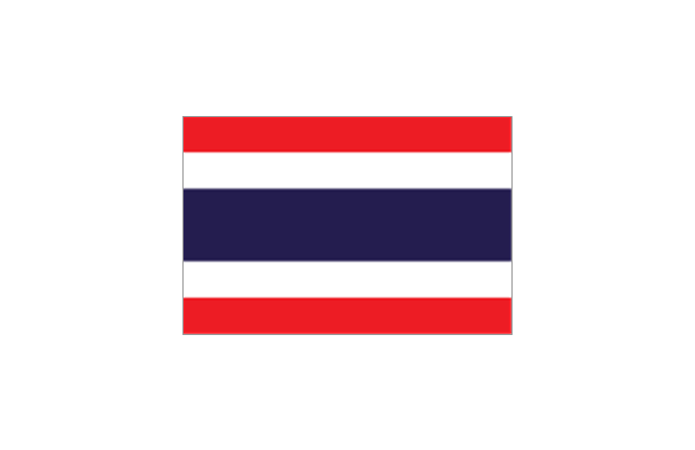
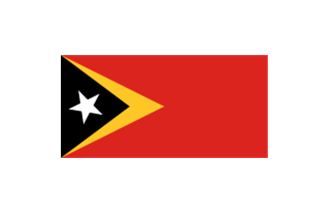
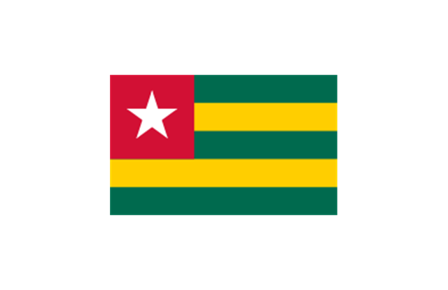
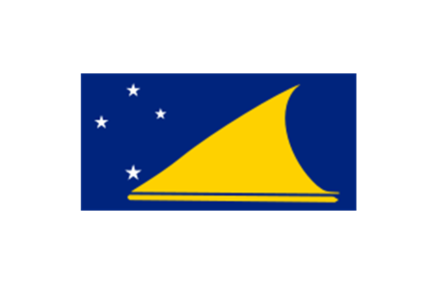
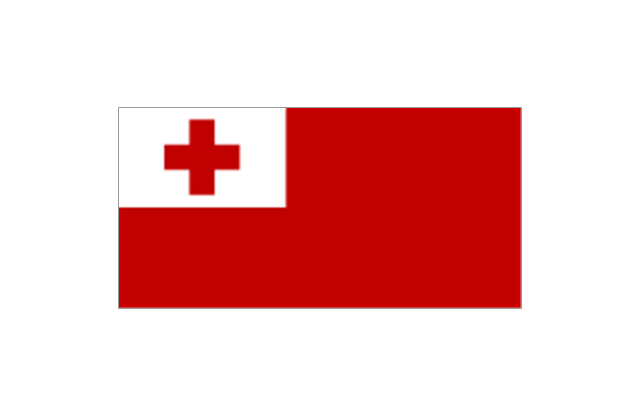
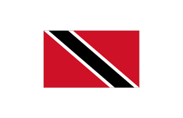
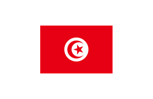
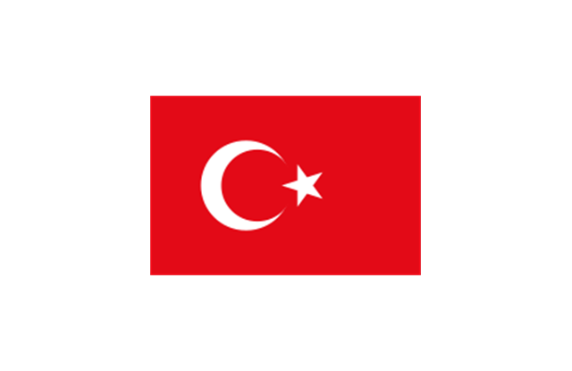
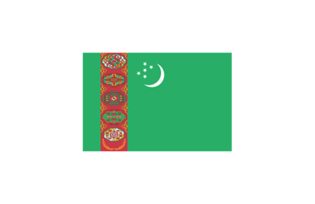
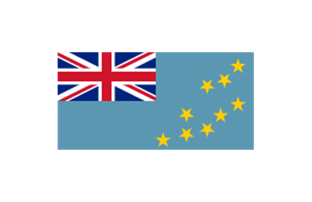
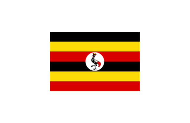
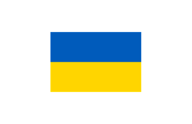
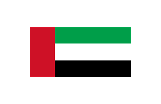
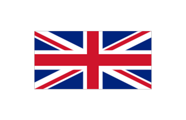
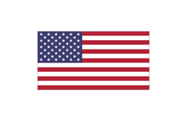
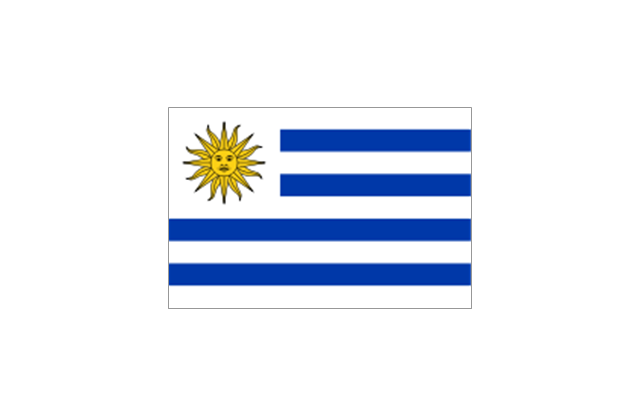
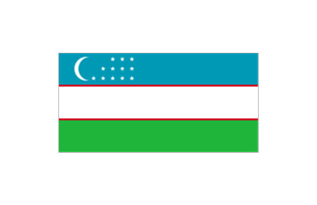
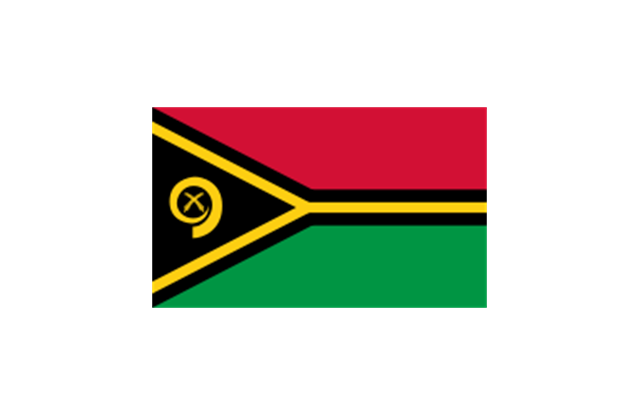
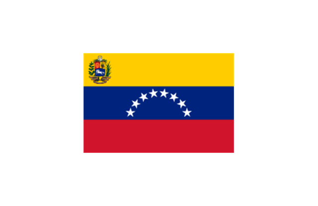
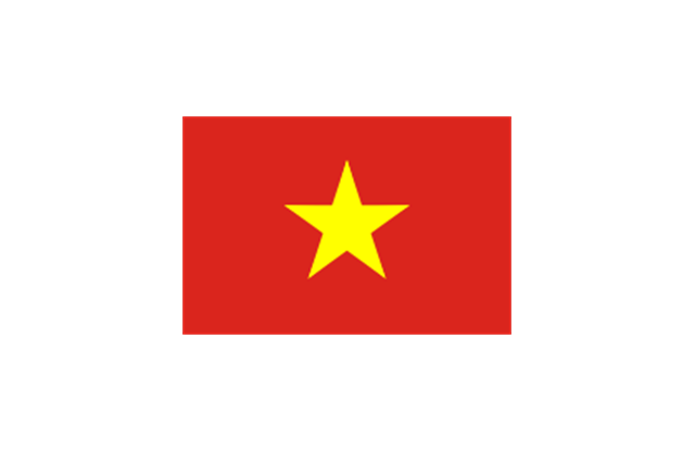
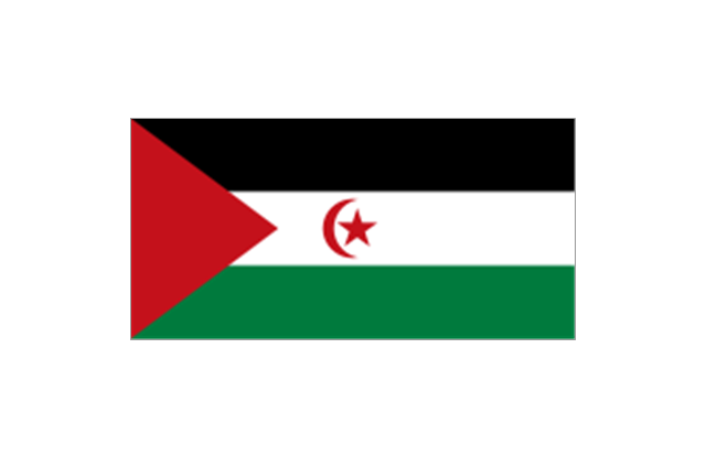
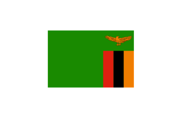
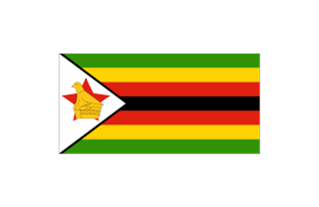
The stencils library "Flags" contains 204 clipart images of state flags.
"There are two separate meanings for the term state flag in vexillology - the flag of the government of a sovereign state, and the flag of an individual subnational state, such as a U.S. state, or a Russian oblast. ...
A state flag is a variant of a national flag (or occasionally a completely different design) specifically designated and restricted by law or custom (theoretically or actually) to use by a country's government or its agencies. For this reason they are sometimes referred to as government flags. In many countries the state flag and the civil flag (as flown by the general public) are identical, but in other countries, notably those in Latin America, central Europe, and Scandinavia, the state flag is a more complex version of the national flag, often featuring the national coat of arms or some other emblem as part of the design. Scandinavian countries also use swallowtailed state flags, to further differentiate them from civil flags.
In addition, some countries have state ensigns, separate flags for use by non-military government ships such as guard vessels. For example, government ships in the United Kingdom fly the blue ensign." [State flag. Wikipedia]
The clip art example "Flags - Stencils library" was created using the ConceptDraw PRO diagramming and vector drawing software extended with the Continent Maps solution from the Maps area of ConceptDraw Solution Park.
www.conceptdraw.com/ solution-park/ maps-continent
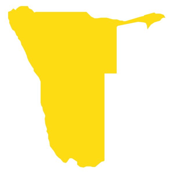
Geo Map - Africa - Namibia
Namibia, officially the Republic of Namibia, is a country in southern Africa whose western border is the Atlantic Ocean. The vector stencils library Namibia contains contours for ConceptDraw PRO diagramming and vector drawing software. This library is contained in the Continent Maps solution from Maps area of ConceptDraw Solution Park."East Africa or Eastern Africa is the easterly region of the African continent, variably defined by geography or geopolitics. In the UN scheme of geographic regions, 20 territories constitute Eastern Africa:
- Tanzania, Kenya, Uganda, Rwanda and Burundi – in Southeast Africa included in the African Great Lakes region and are members of the East African Community (EAC). Burundi and Rwanda are sometimes considered part of Central Africa.
- Djibouti, Eritrea, Ethiopia and Somalia – collectively known as the Horn of Africa.
- Mozambique and Madagascar – often considered part of Southern Africa. Madagascar has close cultural ties to Southeast Asia and the islands of the Indian Ocean.
- Malawi, Zambia and Zimbabwe – often included in Southern Africa, and formerly of the Central African Federation.
- Comoros, Mauritius and Seychelles – small island nations in the Indian Ocean.
- Réunion and Mayotte – French overseas territories also in the Indian Ocean.
- South Sudan – newly independent from Sudan." [East Africa. Wikipedia]
South Sudan has become independent on July 9, 2011. Sudan and South Sudan are shown with the new international border between them.
This East Africa political map was redesigned using the ConceptDraw PRO diagrammin and vector drawing software from the Wikimedia Commons file: Afryka Wschodnia.png.
[commons.wikimedia.org/ wiki/ File:Afryka_ Wschodnia.png]
The example "East Africa - Political map" is included in the Continent Maps solution from the Maps area of ConceptDraw Solution Park.
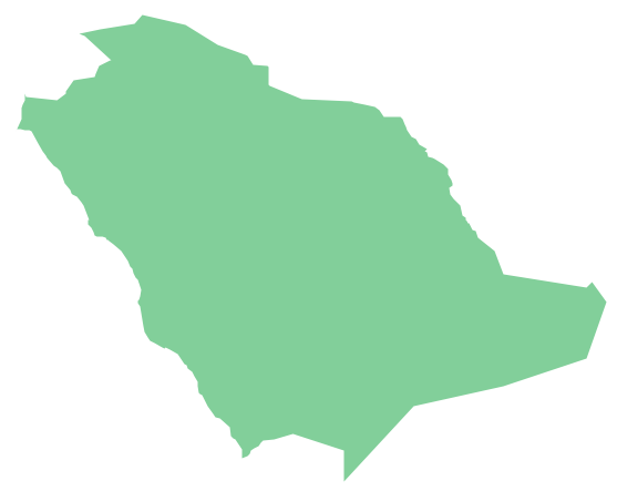
Geo Map - Asia - Saudi Arabia
First of all, Saudi Arabia is known as "the Land of the Two Holy Mosques". Two of the holiest sites of Islam are located in Saudi Arabia. Medina - the city where the Quran was finally approved, and where Prophet Muhammad was buried, and Mecca, the birthplace of Muhammad. Every year, millions of muslims perform hajj and visit Al-Masjid al-Haram - the Sacred Mosque. Unfortunately, the entry is prohibited for non-Muslim people. The citizens of the country live under Sharia law, which impose certain obligations. For example, the usage of drugs and alcohol is forbidden. Gambling is also under the ban. Expats have a possibility to live in special reservations - compounds, where some concessions are allowed, for example, the appearance of women is not so strictly regulated and they have a right to drive there.Geo Map - Asia - Sri Lanka
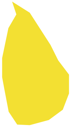
Sri Lanka, officially the Democratic Socialist Republic of Sri Lanka, is an island country in the northern Indian Ocean off the southern coast of the Indian subcontinent in South Asia; known until 1972 as Ceylon, Sri Lanka has maritime borders with India to the northwest and the Maldives to the southwest. The vector stencils library Sri Lanka contains contours for ConceptDraw PRO diagramming and vector drawing software. This library is contained in the Continent Maps solution from Maps area of ConceptDraw Solution Park.Geo Map - Asia - Indonesia
Indonesia, officially the Republic of Indonesia, is a sovereign state in Southeast Asia and Oceania. The vector stencils library Indonesia contains contours for ConceptDraw PRO diagramming and vector drawing software. This library is contained in the Continent Maps solution from Maps area of ConceptDraw Solution Park.Geo Map - Asia - Japan
Japan is an island nation in East Asia. Located in the Pacific Ocean, it lies to the east of the Sea of Japan, China, North Korea, South Korea and Russia, stretching from the Sea of Okhotsk in the north to the East China Sea and Taiwan in the south. The vector stencils library Japan contains contours for ConceptDraw PRO diagramming and vector drawing software. This library is contained in the Continent Maps solution from Maps area of ConceptDraw Solution Park.Geo Map - Asia - Vietnam
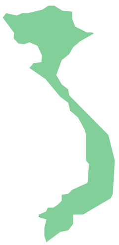
Vietnam, officially the Socialist Republic of Vietnam, is the easternmost country on the Indochina Peninsula in Southeast Asia. The vector stencils library Vietnam contains contours for ConceptDraw PRO diagramming and vector drawing software. This library is contained in the Continent Maps solution from Maps area of ConceptDraw Solution Park.Geo Map - Asia - South Korea
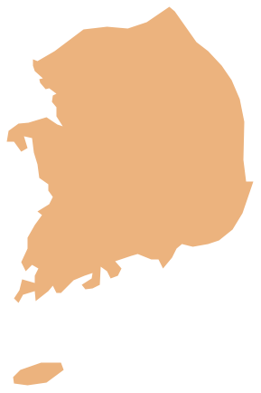
South Korea, officially the Republic of Korea, is a country in East Asia, constituting the southern part of the Korean Peninsula. The vector stencils library South Korea contains contours for ConceptDraw PRO diagramming and vector drawing software. This library is contained in the Continent Maps solution from Maps area of ConceptDraw Solution Park.UML Class Diagram Constructor
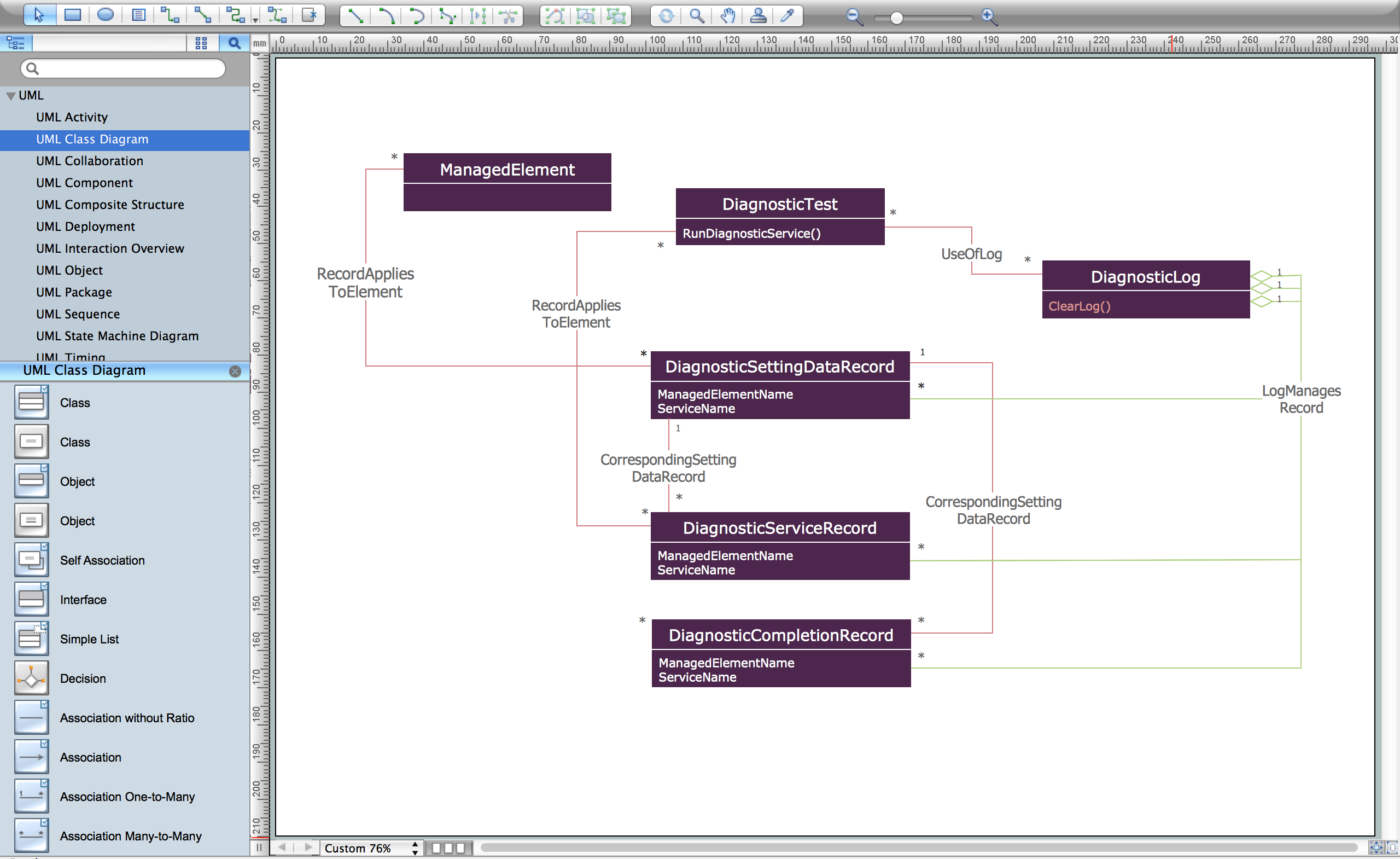
UML Class Diagrams is a type of static structure diagram that is used both for general conceptual modeling of the systematics of the application, and for detailed modeling translating the models into programming code. It describes the structure of a system by showing the: classes of a system, attributes, operations, and the relationships between them. The Rapid UML Solution for ConceptDraw PRO includes the UML Class Diagram library that helps you to design the UML Class Diagram quick and easy. You can simply and quickly drop the ready-to-use objects from the library into your document to create the UML Class Diagram.- East Asia - Political map
- East Asia - Political map | Geo Map - Asia | South Asia - Political ...
- Political Map East Asia
- Geo Map - Asia | East Asia - Political map | Southeast Asia - Political ...
- Map East Asia
- Asia Map Logo Png
- Middle East - Political map | South America - Political map | South ...
- Geo Map - Asia - Japan
- Geo Map - Europe - Iceland | European country flags - Vector ...
- What Continent Is India In Png
- Political map of Asia
- European country flags - Vector stencils library | European country ...
- UML deployment diagram - Real estate transactions | Databases ...
- Conceptual diagram of the Kanban System | IDEF1 standard ...
- Geo Map - Africa
- East Africa - Political map | West Africa countries | Geo Map - Africa ...
- East Africa - Political map | Geo Map - Asia - Papua New Guinea ...
- Drawing Of A Map Of East Africa
- South America regions - Political map | East Africa - Political map ...
- Geo Map - Africa - Madagascar | East Africa - Political map | Geo ...
