The stencils library "Asia flags" contains 49 clipart images of Asian state flags.
"... international and national flags used in Asia.
International: Flag of the Council of Europe, Flag of the Commonwealth of Independent States, Flag of the Organization of the Islamic Conference, Flag of the Organization of the Petroleum Exporting Countries, Flag of the Cooperation Council for the Arab States of the Gulf.
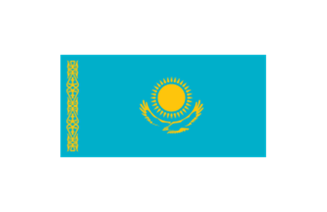
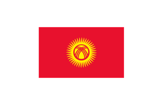
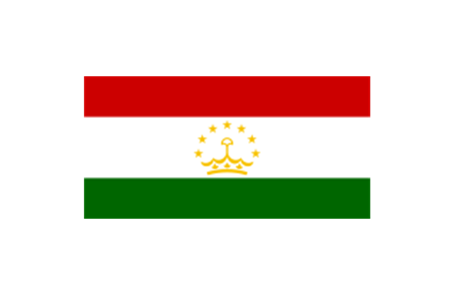
Central Asia: Flag of Kazakhstan, Flag of Kyrgyzstan, Flag of Tajikistan, Flag of Turkmenistan, Flag of Uzbekistan.
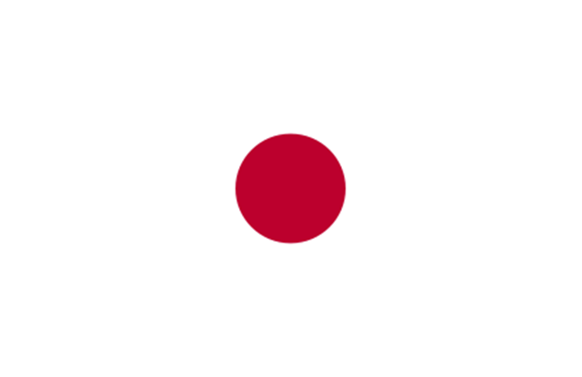
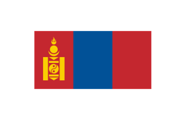
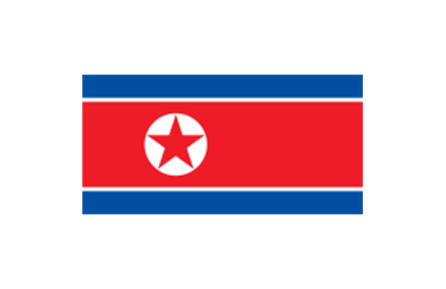
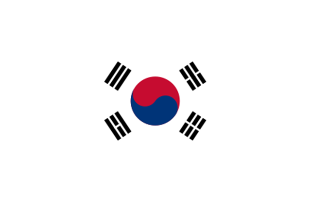
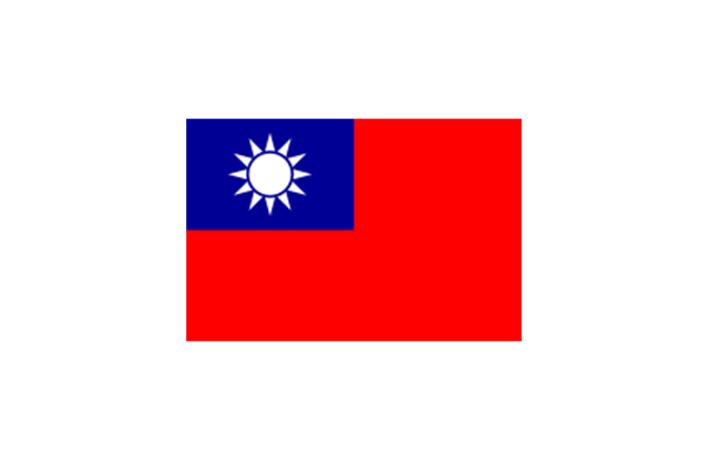
Eastern Asia: Flag of the People's Republic of China, Flag of Hong Kong (China), Flag of Japan, Flag of North Korea, Flag of South Korea, Flag of Macau (China), Flag of Mongolia, Flag of the Republic of China (Taiwan).
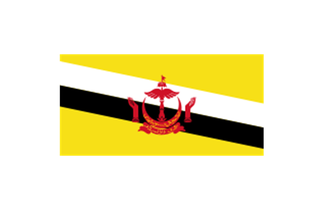
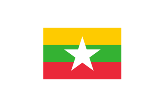
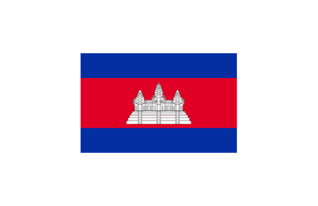
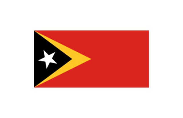
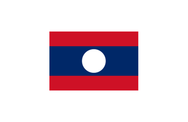
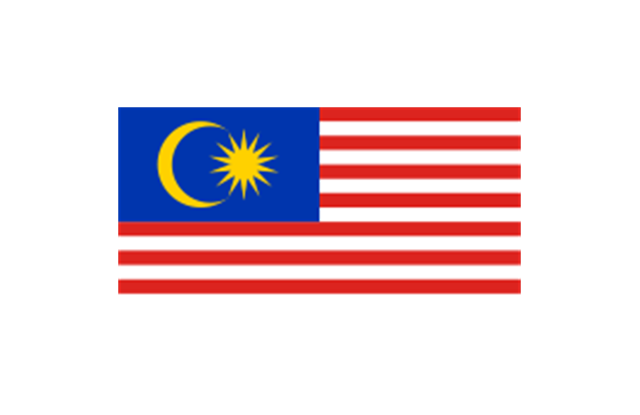
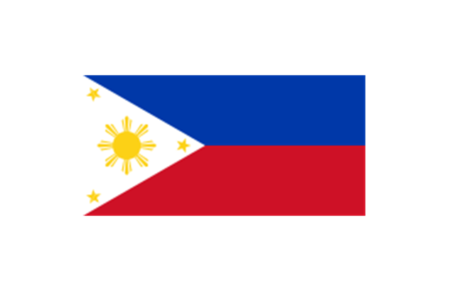
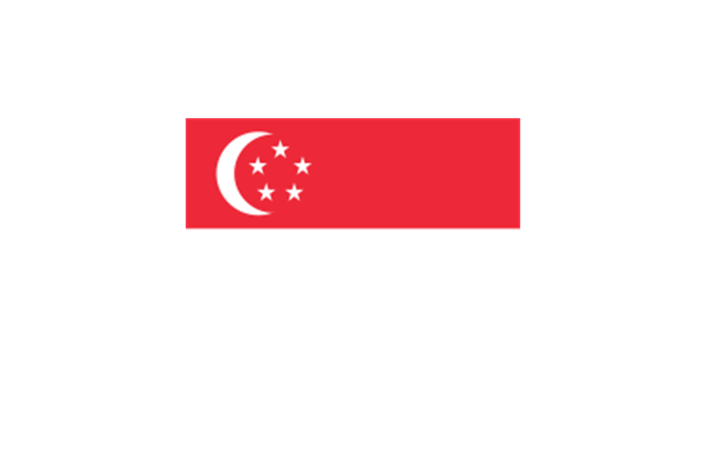
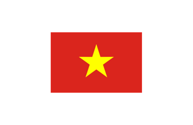
Southeast Asia: Flag of Brunei, Flag of Burma, Flag of Cambodia, Flag of Christmas Island (Australia), Flag of the Cocos (Keeling) Islands (Australia), Flag of East Timor, Flag of Indonesia, Flag of Laos, Flag of Malaysia, Flag of the Philippines, Flag of Singapore, Flag of Thailand, Flag of Vietnam.
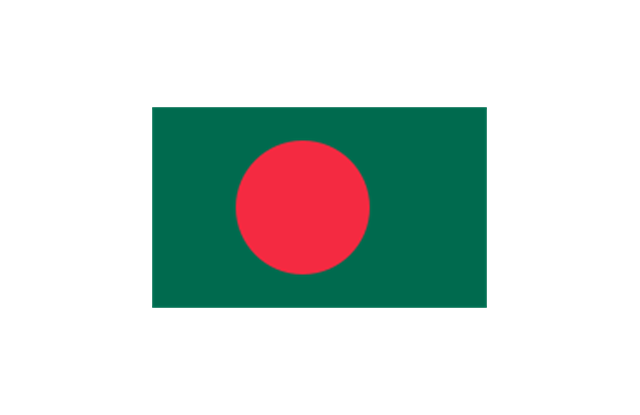
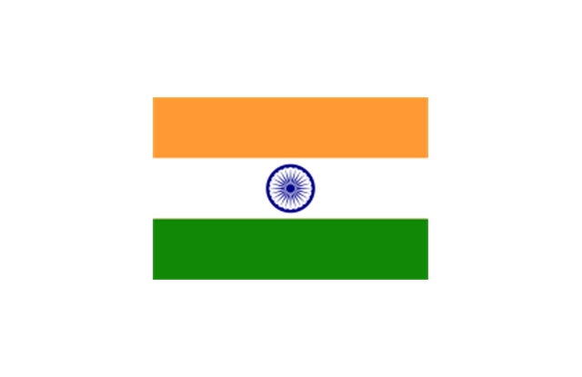
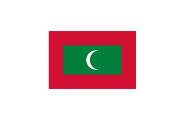
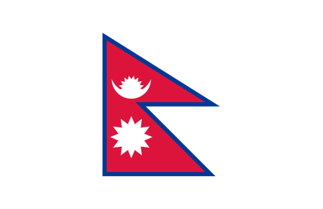
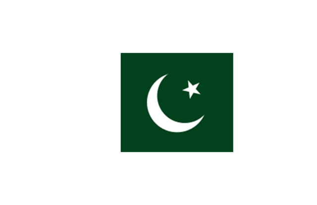
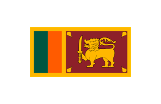
Southern Asia: Flag of Bangladesh, Flag of Bhutan, Flag of the British Indian Ocean Territory (United Kingdom), Flag of India, Flag of Maldives, Flag of Nepal, Flag of Pakistan, Flag of Sri Lanka.
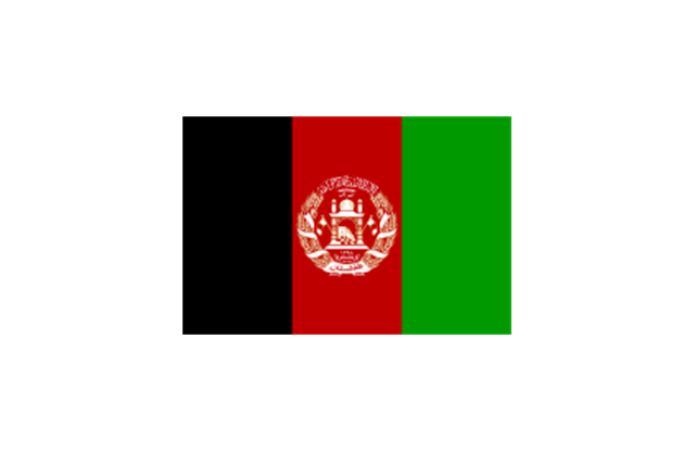
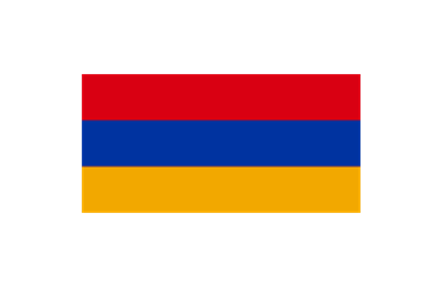
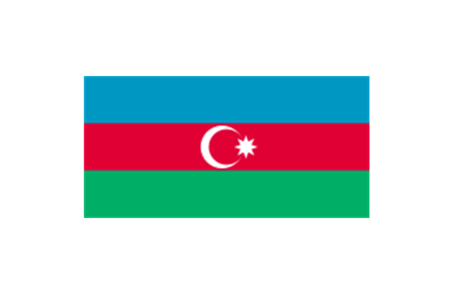
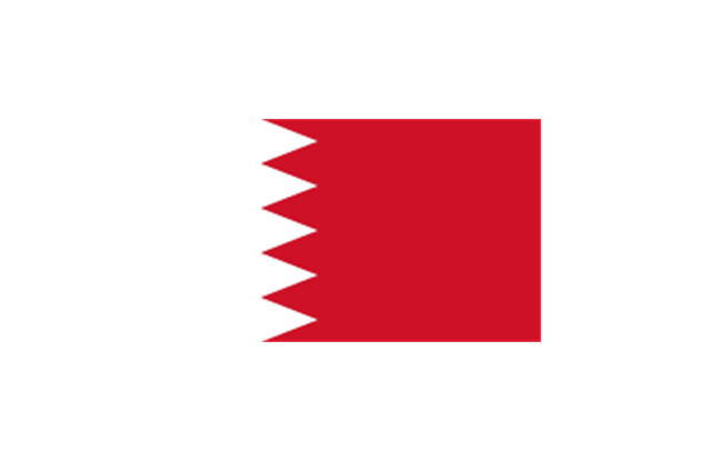
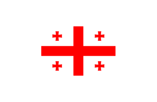
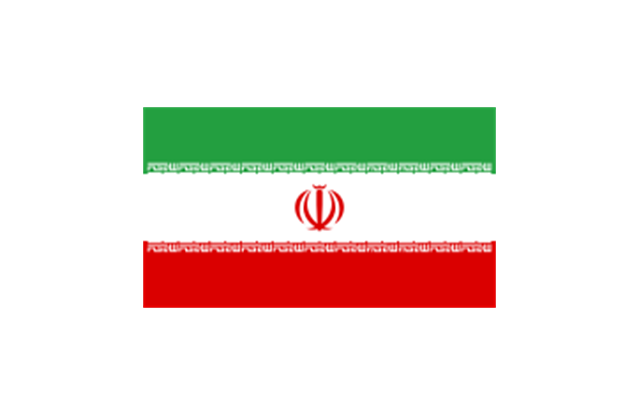
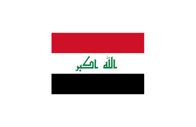
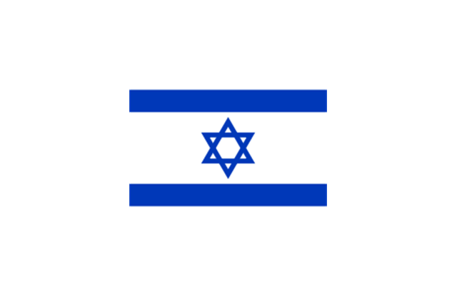
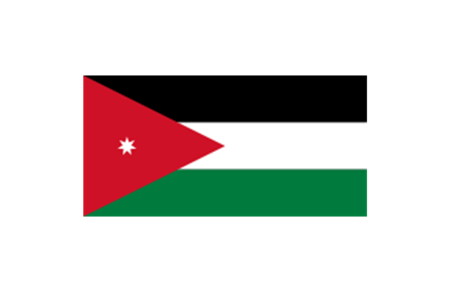
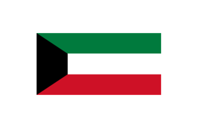
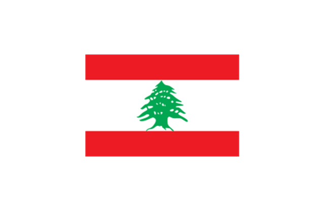
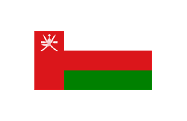
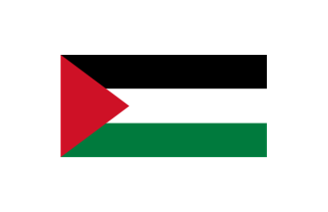
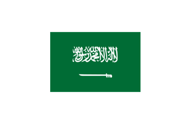
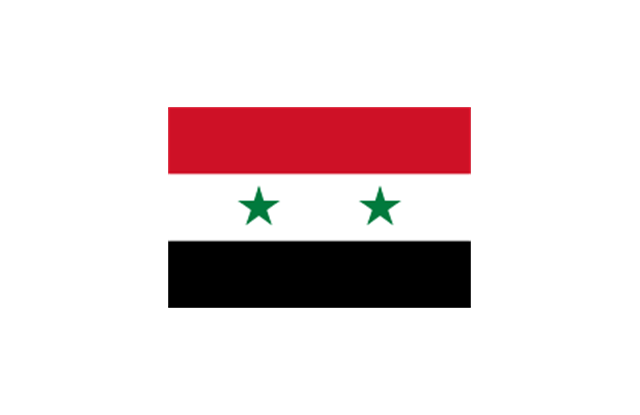
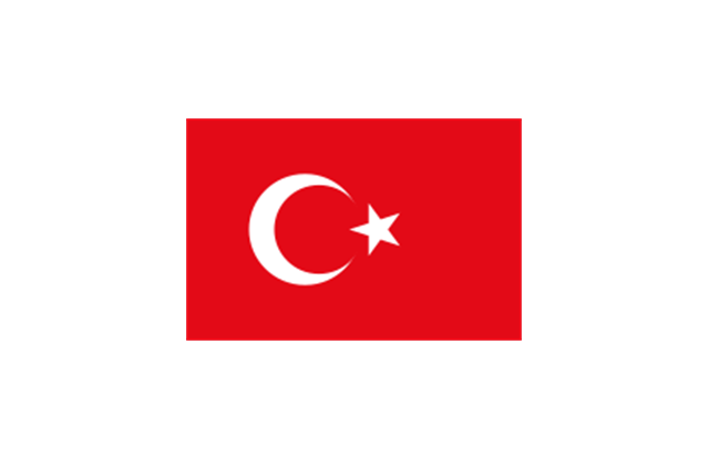
Western Asia: Flag of Abkhazia, Flag of Afghanistan, Flag of Akrotiri and Dhekelia (United Kingdom), Flag of Armenia, Flag of Azerbaijan, Flag of Bahrain, Flag of Cyprus, Flag of Egypt, Flag of Georgia, Flag of Iran, Flag of Iraq, Flag of Israel, Flag of Jordan, Flag of Kuwait, Flag of Lebanon, Flag of Nagorno-Karabakh, Flag of Northern Cyprus, Flag of Oman, Flag of Palestine, Flag of Qatar, Flag of Saudi Arabia, Flag of South Ossetia, Flag of Syria, Flag of Turkey, Flag of the United Arab Emirates, Flag of Yemen.
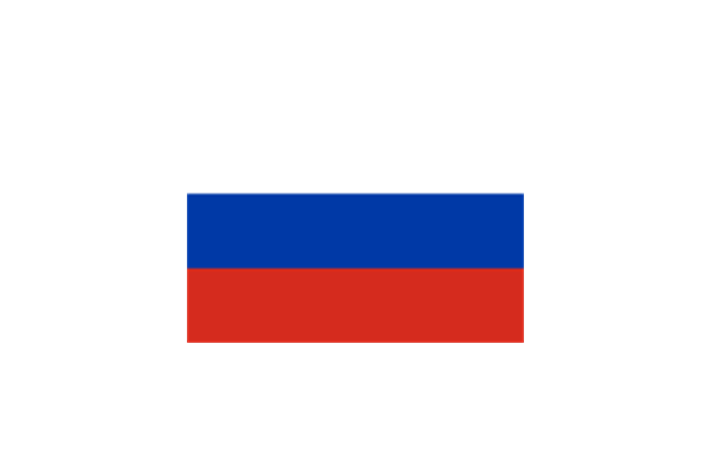
Northern Asia: Flag of Russia." [Flags of Asia. Wikipedia]
The clip art example "Asia flags - Stencils library" was created using the ConceptDraw PRO diagramming and vector drawing software extended with the Continent Maps solution from the Maps area of ConceptDraw Solution Park.
www.conceptdraw.com/ solution-park/ maps-continent
"... international and national flags used in Asia.
International: Flag of the Council of Europe, Flag of the Commonwealth of Independent States, Flag of the Organization of the Islamic Conference, Flag of the Organization of the Petroleum Exporting Countries, Flag of the Cooperation Council for the Arab States of the Gulf.
Central Asia: Flag of Kazakhstan, Flag of Kyrgyzstan, Flag of Tajikistan, Flag of Turkmenistan, Flag of Uzbekistan.
Eastern Asia: Flag of the People's Republic of China, Flag of Hong Kong (China), Flag of Japan, Flag of North Korea, Flag of South Korea, Flag of Macau (China), Flag of Mongolia, Flag of the Republic of China (Taiwan).
Southeast Asia: Flag of Brunei, Flag of Burma, Flag of Cambodia, Flag of Christmas Island (Australia), Flag of the Cocos (Keeling) Islands (Australia), Flag of East Timor, Flag of Indonesia, Flag of Laos, Flag of Malaysia, Flag of the Philippines, Flag of Singapore, Flag of Thailand, Flag of Vietnam.
Southern Asia: Flag of Bangladesh, Flag of Bhutan, Flag of the British Indian Ocean Territory (United Kingdom), Flag of India, Flag of Maldives, Flag of Nepal, Flag of Pakistan, Flag of Sri Lanka.
Western Asia: Flag of Abkhazia, Flag of Afghanistan, Flag of Akrotiri and Dhekelia (United Kingdom), Flag of Armenia, Flag of Azerbaijan, Flag of Bahrain, Flag of Cyprus, Flag of Egypt, Flag of Georgia, Flag of Iran, Flag of Iraq, Flag of Israel, Flag of Jordan, Flag of Kuwait, Flag of Lebanon, Flag of Nagorno-Karabakh, Flag of Northern Cyprus, Flag of Oman, Flag of Palestine, Flag of Qatar, Flag of Saudi Arabia, Flag of South Ossetia, Flag of Syria, Flag of Turkey, Flag of the United Arab Emirates, Flag of Yemen.
Northern Asia: Flag of Russia." [Flags of Asia. Wikipedia]
The clip art example "Asia flags - Stencils library" was created using the ConceptDraw PRO diagramming and vector drawing software extended with the Continent Maps solution from the Maps area of ConceptDraw Solution Park.
www.conceptdraw.com/ solution-park/ maps-continent
Afghanistan
Armenia
Azerbaijan
Bahrain
Bangladesh
Brunei
Burma
Cambodia
China (PRC)
-asia-flags---stencils-library.png--diagram-flowchart-example.png)
Cyprus

East Timor
Georgia
India
Indonesia

Iran
Iraq
Israel
Japan
Jordan
Kazakhstan
Kuwait
Kyrgyzstan
Laos
Lebanon
Malaysia
Maldives
Mongolia
Nepal
North Korea
Oman
Pakistan
Palestine
Philippines
Qatar

Russia
Saudi Arabia
Singapore
Sri Lanka
South Korea
Syria
Taiwan
Tajikistan
Thailand

Turkey
Turkmenistan

United Arab Emirates

Uzbekistan

Vietnam
Yemen

Geo Map — South America Continent

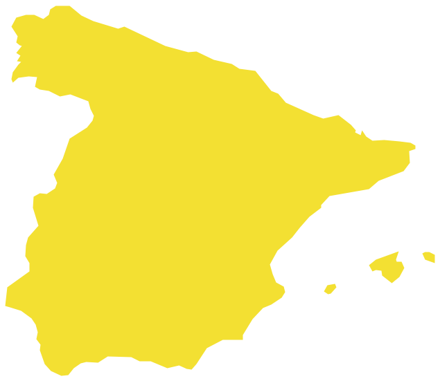
Geo Map — Europe — Spain
World Continents Map

Geo Map — United States of America Map

Geo Map - USA - Illinois

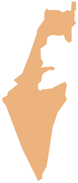
Geo Map - Asia - Israel
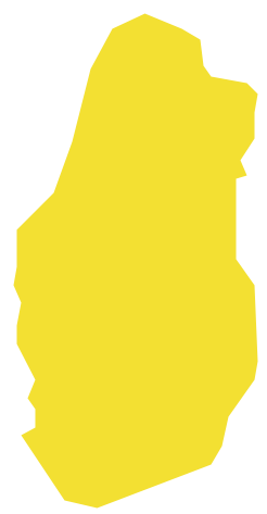
Geo Map - Asia - Qatar
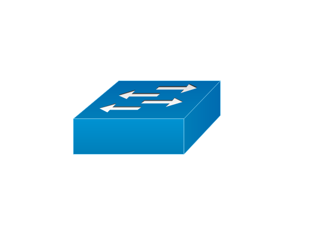
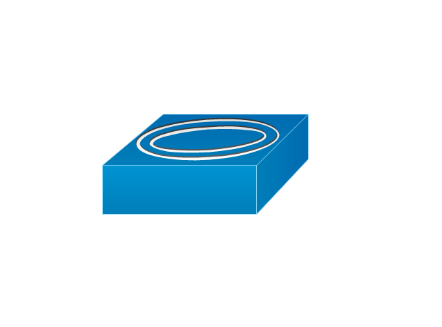
The vector stencils library "Logical symbols" contains 49 logical symbols for drawing logical network topology diagrams.
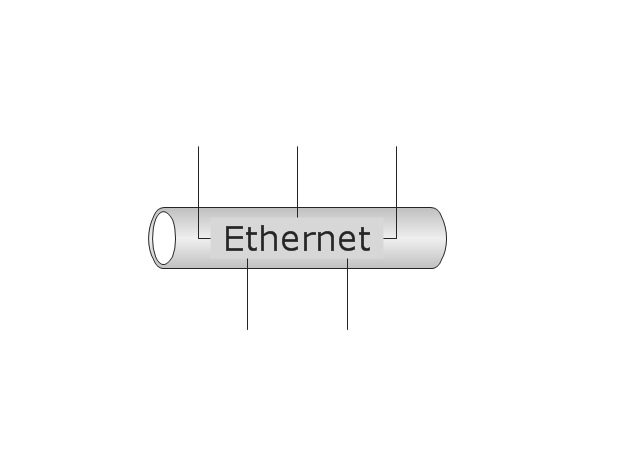
"Logical topology, or signal topology, is the arrangement of devices on a computer network and how they communicate with one another. How devices are connected to the network through the actual cables that transmit data, or the physical structure of the network, is called the physical topology. Physical topology defines how the systems are physically connected. It represents the physical layout of the devices on the network. The logical topology defines how the systems communicate across the physical topologies.
Logical topologies are bound to network protocols and describe how data is moved across the network. ... EXAMPLE : twisted pair Ethernet is a logical bus topology in a physical star topology layout. While IBM's token ring is a logical ring topology, it is physically set up in star topology." [Logical topology. Wikipedia]
The icons example "Logical symbols - Vector stencils library" was created using the ConceptDraw PRO diagramming and vector drawing software extended with the Computer and Networks solution from the Computer and Networks area of ConceptDraw Solution Park.
www.conceptdraw.com/ solution-park/ computer-and-networks
Coaxial Line Tag

Fiber Optic Line Tag
Twisted Pair Line Tag

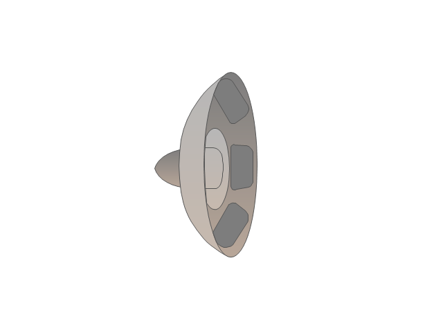
SC2200 Signaling Controller

Bridge

Network Management Appliance
Access Server (Communications Server)
-logical-symbols---vector-stencils-library.png--diagram-flowchart-example.png)
Terminal Server

Web Browser

Security Management, Cisco

Lock and Key

Lock

Key

Relational Database
Host
CSU/DSU
WAN
University
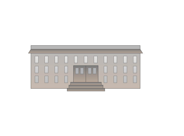
Government building

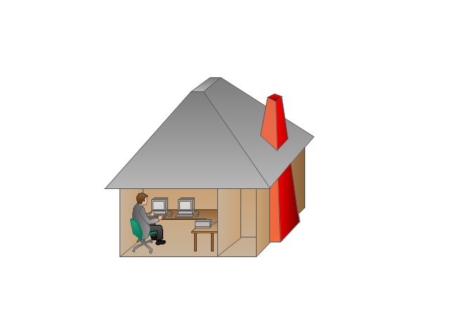
Home Office
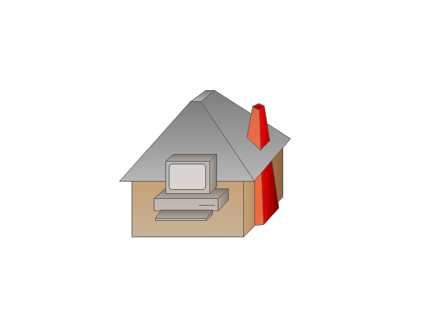
Telecommuter House PC
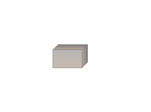
Medium Building, Regular
Headquarters, Subdued
House, Regular

Small Business
Network Connector
Dynamic Connector

Line Connector

Line-curve Connector

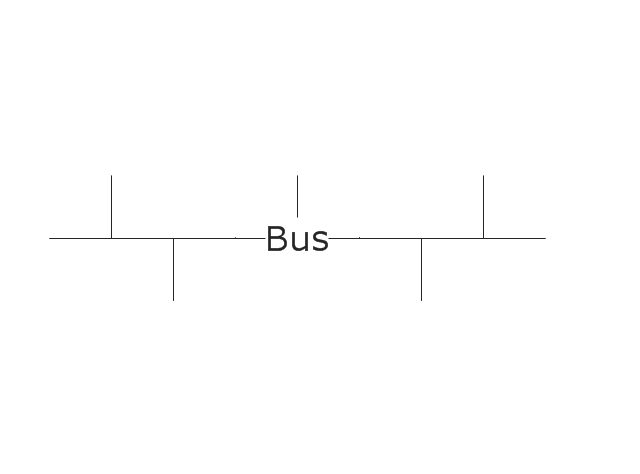
Bus
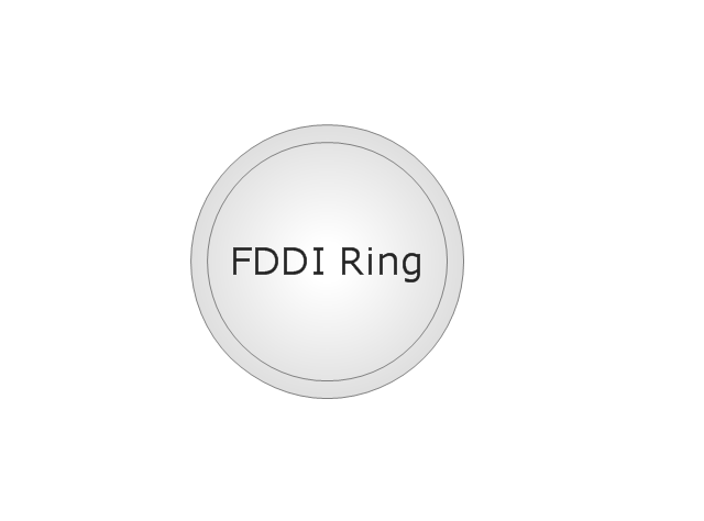
FDDI Ring
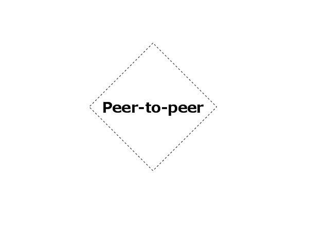
Peer-to-peer
Token-ring

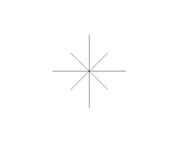
Star
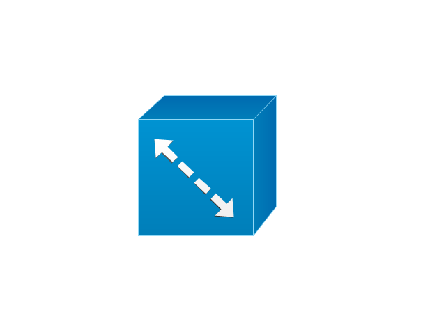
Comm-link
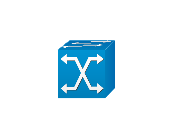
Curved Bus
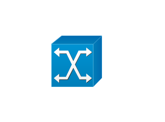
Ethernet
Cloud

Speaker
Microphone

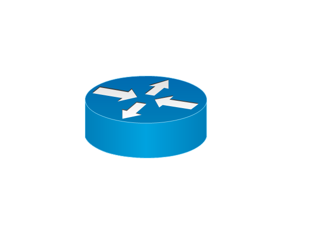
Router
ATM Router

ISDN Switch
ATM Switch
ATM/FastGB Etherswitch
Workgroup Switch
Small Hub

100BaseT Hub

CDDI-FDDI
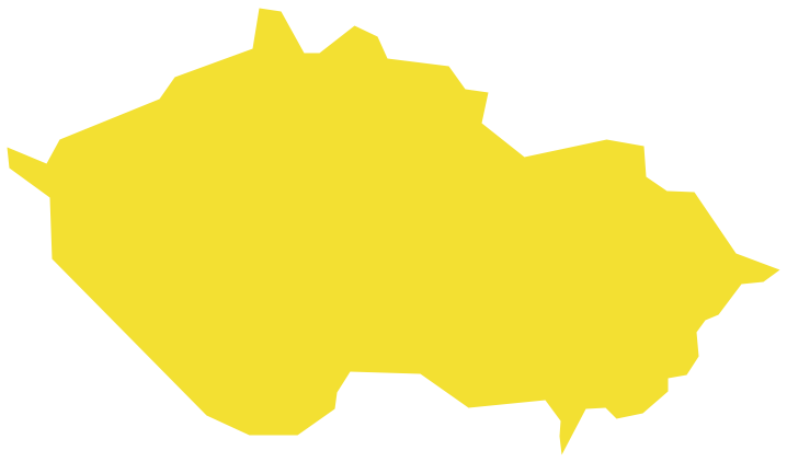
Geo Map - Europe - Czech Republic
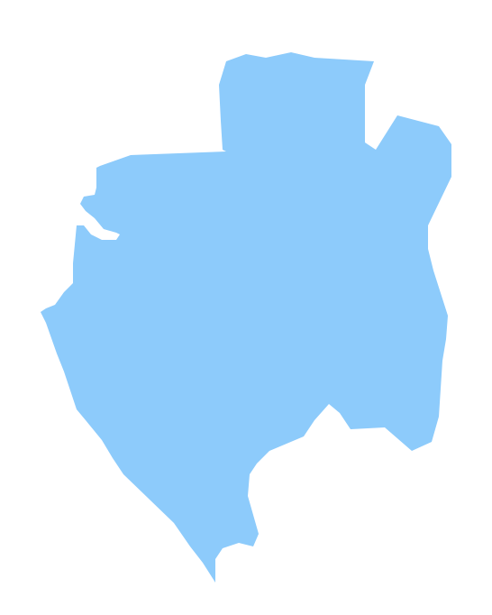
Geo Map - Africa - Gabon
Geo Map - South America - Paraguay

Geo Map - South America - Brazil

Geo Map - South America - Honduras

Geo Map - Africa - Guinea
- Small Flag Of India
- Nigerian Small Flag Png
- Uae Flag Small Image Png
- India Sri Lanka Nepal Small Flags
- Geo Map - Asia - Qatar
- Geo Map - Asia - China | Asia flags - Stencils library | Asia - Vector ...
- European country flags - Vector stencils library | Design elements ...
- Asia flags - Stencils library | Geo Map - Asia - Indonesia | Geo Map ...
- Arabian All Flag
- Design elements - Flags | Interior Design Office Layout Plan Design ...
- East Africa - Political map | Africa flags - Stencils library | Geo Map ...
- Stencil Sri Lankan Flag Photo
- Africa flags - Stencils library | Geo Map - Africa | East Africa - Political ...
- Oceania flags - Vector stencils library | Design elements - Oceania ...
- Design elements - Asia flags | Asia flags - Stencils library | Design ...
- Flag Symbol On Flow Diagram
- FIFA World Cup 2014 team flags - Vector stencils library | Asian ...
- Football (Soccer) - Vector stencils library | Christmas and New Year ...
- Asia flags - Stencils library | Geo Map - Asia - India | Design ...
- Geo Map - South America - Venezuela | South America flags ...