Geo Map — South America Continent

Geo Map of Americas

Geo Map — United States of America Map

Geo Map - South America - Panama

The vector stencils library "North and Central America country flags" contains 26 North and Central American state flags clipart.
Use this clip art library to illustrate your business documents, presentation slides, webpages, infographics.
The clip art example "Design elements - North and Central America country flags" was created using the ConceptDraw PRO diagramming and vector drawing software extended with the Artwork solution from the Illustration area of ConceptDraw Solution Park.
North and Central American state flags clip art
Geo Map - South America - Mexico

The vector stencils library "North and Central America country flags" contains 26 clipart images of North and Central American state flags. Use the North and Central American country flags clip art to illustrate your business documents, presentation slides, web pages, geo maps and infographics. The clip art example "North and Central America country flags - Vector stencils library" was created using the ConceptDraw PRO diagramming and vector drawing software extended with the Artwork solution from the Illustration area of ConceptDraw Solution Park.
Antigua and Barbuda
Bahamas
Barbados
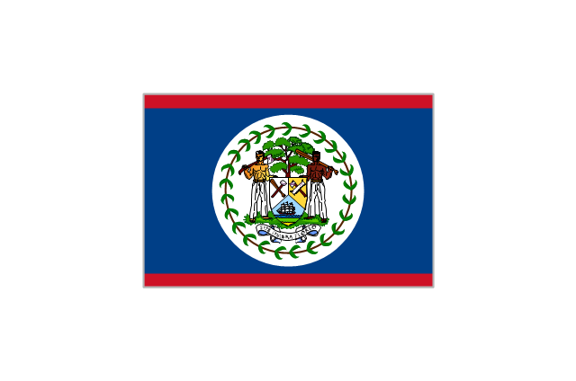
Belize
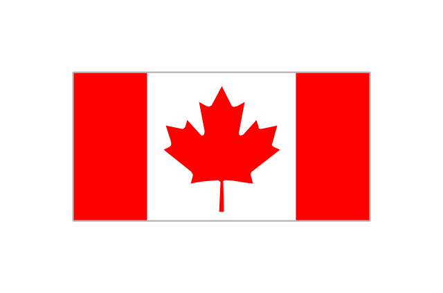
Canada
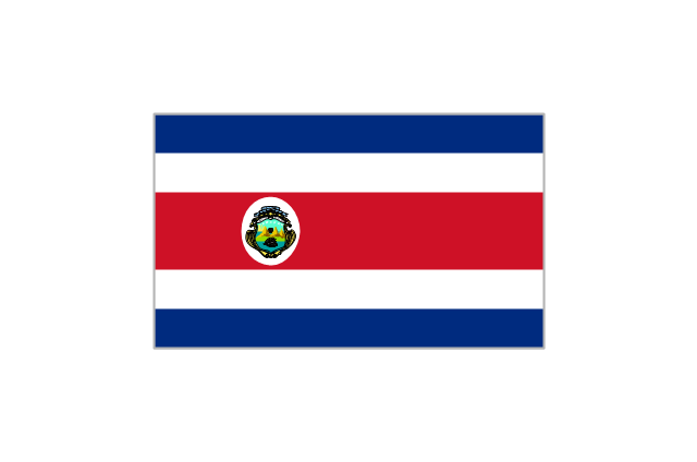
Costa Rica
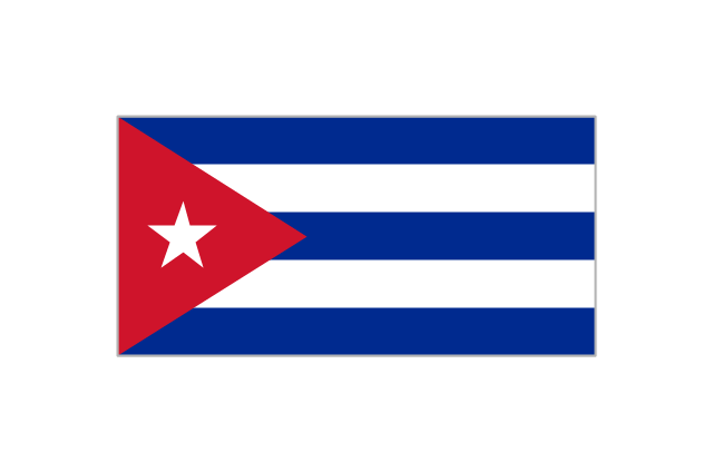
Cuba
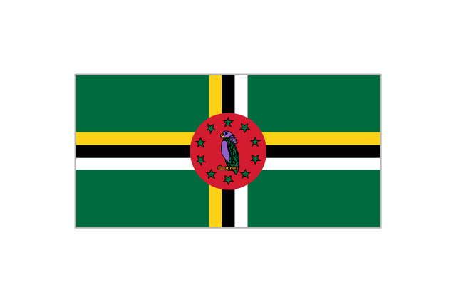
Dominica
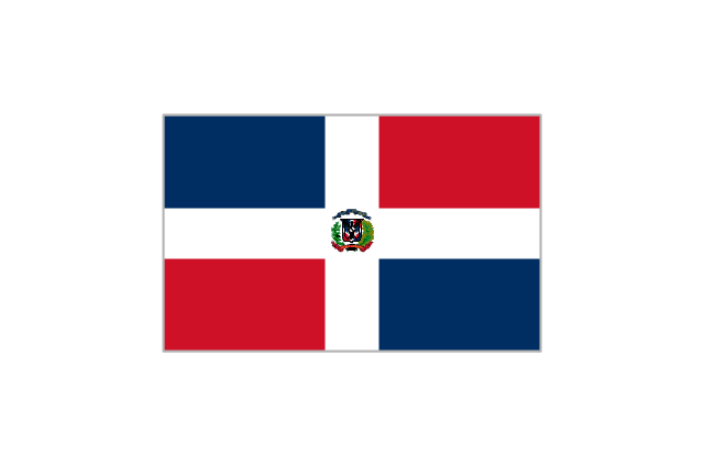
Dominican Republic
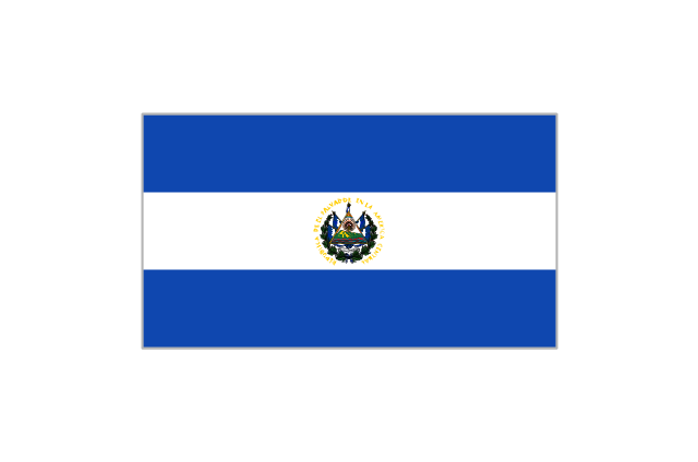
El Salvador
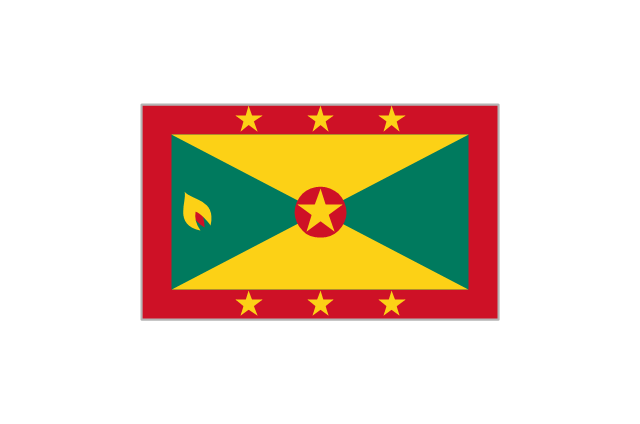
Grenada
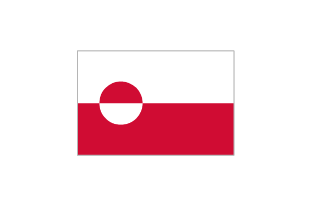
Greenland
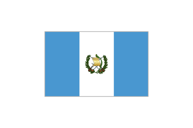
Guatemala
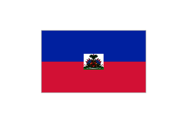
Haiti
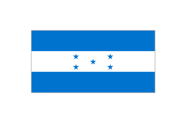
Honduras
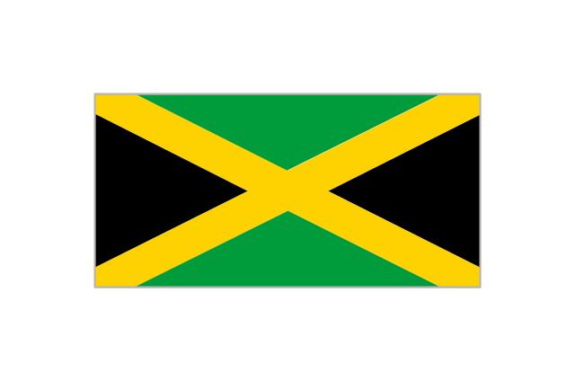
Jamaica
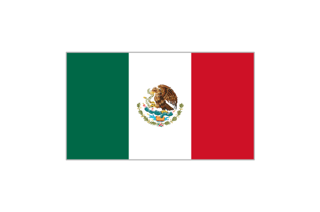
Mexico
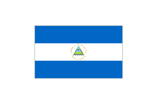
Nicaragua
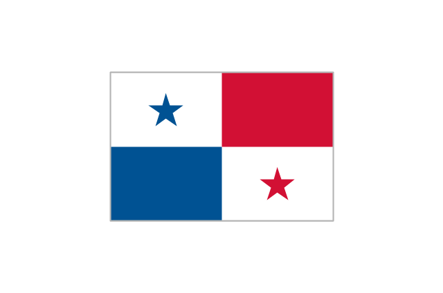
Panama
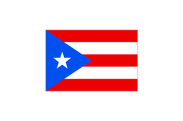
Puerto Rico
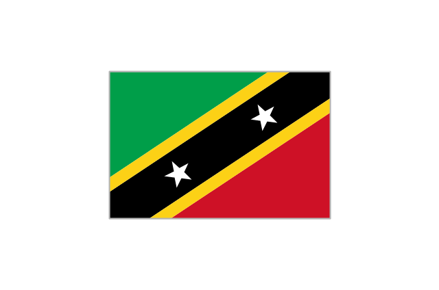
St. Kitts and Nevis
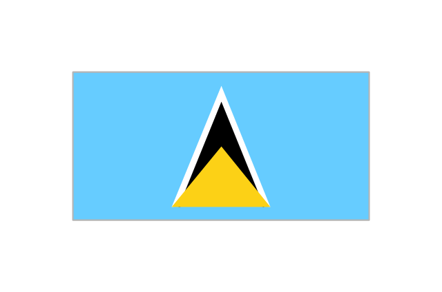
St. Lucia
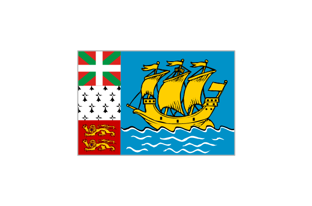
St. Pierre and Miquelon
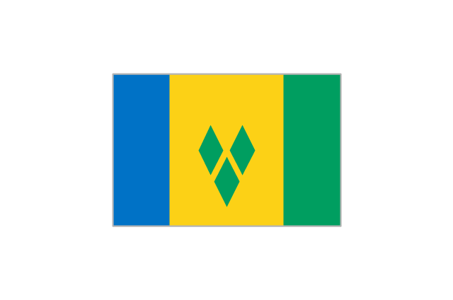
St. Vincent and the Grenadines
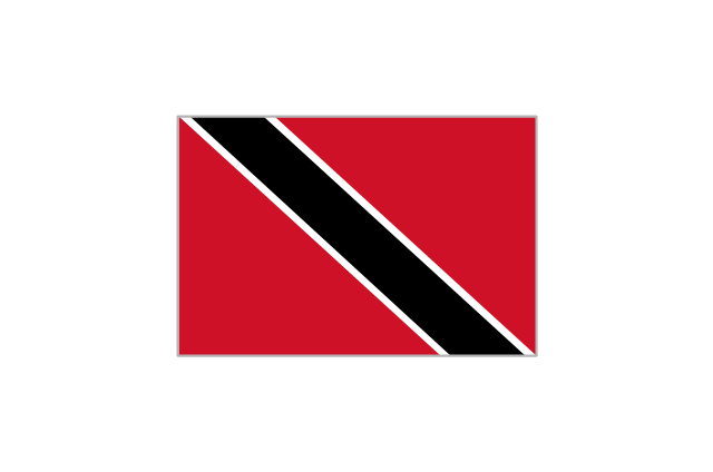
Trinidad and Tobago
United States

Geo Map - South America - Nicaragua

Geo Map - South America - Belize

Geo Map - South America - Honduras

Geo Map - Canada

Geo Map - South America - Chile

Geo Map - South America - El Salvador

Geo Map — South America — Peru

Geo Map - South America - Puerto Rico

- North America Map Hindi Country Names
- Map Of North America With Countries And Capitals
- North America Map With Countries And Capitals
- Geo Map - South America Continent | North America Country In Hindi
- Design elements - North and Central America country flags
- North America map with capitals - Template | Geo Map - United ...
- Design elements - North and Central America country flags | North ...
- North America Continent Continent Map Countries And Capitals
- North America Map Countries
- Geo Map - South America Continent | North America map - Template ...
- How to Draw a Map of North America Using ConceptDraw PRO ...
- All Country Flags Of North America
- Southernmost Country In North America
- North and Central America country flags - Vector stencils library ...
- North America map with capitals - Template | South America map ...
- North and Central America flags - Stencils library | North and Central ...
- Geo Map - Europe - Denmark | European country flags - Vector ...
- North America map with capitals - Template | How to Draw a Map of ...
- North America map with capitals - Template | Continents Map | How ...
- Country And Flag Of North America