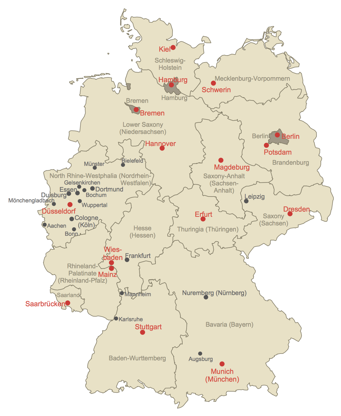
Vector Map of Germany
Vector map is the best way to visually present a world, continents, islands, to display location and boundaries of countries and cities. ConceptDraw PRO diagramming and vector drawing software offers the Germany Map Solution from the Maps Area of ConceptDraw Solution Park - the best tool for fast and easy drawing vector map of Germany of any degree of detailing, and thematic cartograms and maps of Germany on its base.HelpDesk
How to Create a Map of Germany Using ConceptDraw PRO
Geographical thematic maps are used to display information on a variety of subjects. It is a common way of representing any form of spatial data in relation to a specific geographical area. The Germany Map Solution for ConceptDraw PRO includes all of the German federal states with county outlined borders and major cities. You can quickly create geographic maps, cartograms, and thematic maps for geographical visualization information for business and travels.Geo Map - Europe - Poland
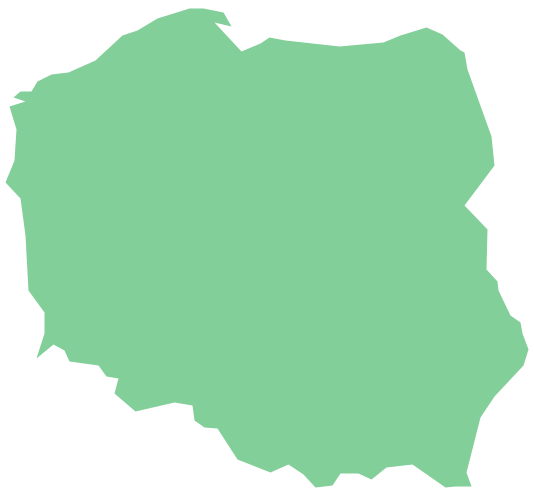
The vector stencils library Poland contains contours for ConceptDraw PRO diagramming and vector drawing software. This library is contained in the Continent Maps solution from Maps area of ConceptDraw Solution Park.
 UK Map
The Map of UK solution contains collection of professionally designed samples and scalable vector stencil graphics maps, representing the United Kingdom counties, regions and cities. Use the Map of UK solution from ConceptDraw Solution Park as the base fo
 USA Maps
Use the USA Maps solution to create a map of USA, a US interstate map, printable US maps, US maps with cities and US maps with capitals. Create a complete USA states map.
Continents and Oceans Map
You need design a continent map, world continents map, continents and oceans map, or any other type of continent maps? Now, it's very easy thanks to the ConceptDraw PRO diagramming and vector drawing software supplied with Continent Maps Solution from the Maps Area of ConceptDraw Solution Park.Geo Map - Europe - Slovakia
The vector stencils library Slovakia contains contours for ConceptDraw PRO diagramming and vector drawing software. This library is contained in the Continent Maps solution from Maps area of ConceptDraw Solution Park.Geo Map - Europe - Macedonia
The vector stencils library Macedonia contains contours for ConceptDraw PRO diagramming and vector drawing software. This library is contained in the Continent Maps solution from Maps area of ConceptDraw Solution Park.Geo Map - Europe - Belarus
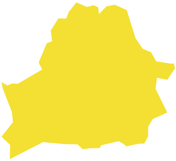
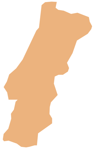
The vector stencils library Belarus contains contours for ConceptDraw PRO diagramming and vector drawing software. This library is contained in the Continent Maps solution from Maps area of ConceptDraw Solution Park.Geo Map - Europe - Portugal
The vector stencils library Portugal contains contours for ConceptDraw PRO diagramming and vector drawing software. This library is contained in the Continent Maps solution from Maps area of ConceptDraw Solution Park.Map of England
England is a country that is part of the United Kingdom. It shares land borders with Scotland to the north and Wales to the west.Design of various maps, including the Map of England is usually complex and labor-intensive process. But now we have a possibility to create UK maps fast and easy thanks to the ConceptDraw PRO diagramming and vector drawing software enhanced with Map of UK Solution from the Maps Area of ConceptDraw Solution Park.
 Remote Presentation for Skype
This solution extends ConceptDraw MINDMAP software with the ability to collaborate via Skype.
 Network Layout Floor Plans
Network Layout Floor Plan solution extends ConceptDraw PR software with samples, templates and libraries of vector stencils for drawing the computer network layout floor plans.
- Conceptdraw.com: Mind Map Software, Drawing Tools | Project ...
- Political map of Europe | Tools to Create Your Own Infographics ...
- Geo Map - Europe - Ireland | Europe flags - Stencils library | Geo ...
- Geo Map - Australia
- Geo Map - Europe - Italy | FIFA World Cup 2014 team flags - Vector ...
- Geo Map - Australia - New Zealand
- Map of Australia depicting time zones offsets from UTC by state ...
- Continent Maps | Map of Continents | World Continents Map ...
- European membership of the EU and NATO map | European country ...
- Map Of Australia And Newzealand
- Geo Map - Australia
- Geo Map - Australia - New Zealand
- Geo Map - Asia - India | South Asia - Political map | East Africa ...
- Map of median household income in Australia | Australia states time ...
- Continent Map
- Geo Map - Australia - New Zealand | Map of median household ...
- Geo Map
- Food security assessment - Flowchart | Weather - Vector stencils ...
- Geo Map - South America - Mexico | Geo Map - USA - New Mexico ...
- Geo Map - Asia - India | Asia - Vector stencils library | Management ...

