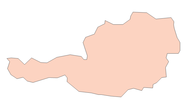
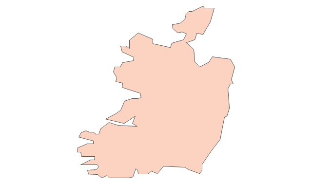
Geo Map - Europe - Ireland

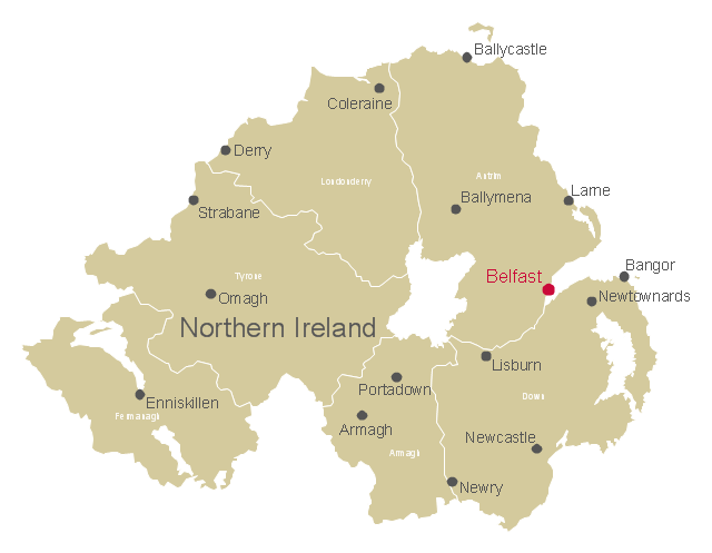
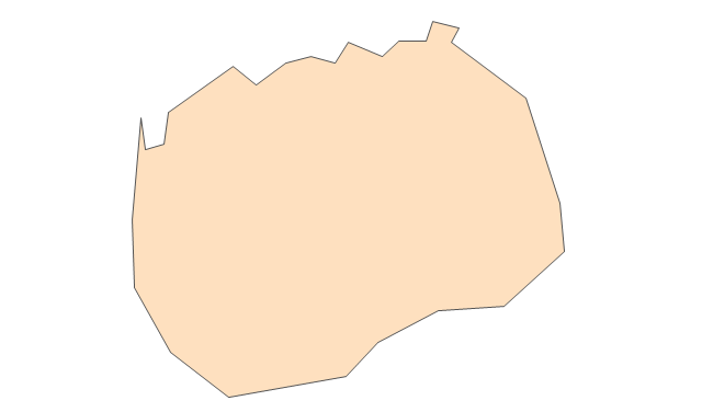
This map example shows Northern Ireland counties borders, cities and towns.
"Northern Ireland is a constituent unit of the United Kingdom of Great Britain and Northern Ireland in the northeast of the island of Ireland. It is variously described as a country, province, region, or "part" of the United Kingdom, amongst other terms. Northern Ireland shares a border to the south and west with the Republic of Ireland." [Northern Ireland. Wikipedia]
The map example "Northern Ireland cities and towns map" was drawn using ConceptDraw PRO software extended with the Map of UK solution from the Maps area of ConceptDraw Solution Park.
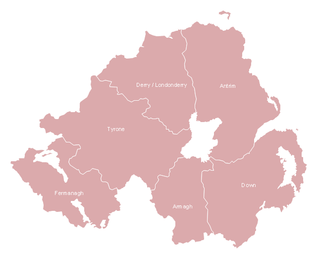
Northern Ireland counties map
Map of UK — Northern Ireland

This map example shows Northern Ireland counties borders. You can also show cities and towns by using Action menu command.
"The counties of Northern Ireland were the principal local government divisions of Northern Ireland from its creation in 1921 until 1972, when their governmental features were abolished and replaced with twenty-six unitary authorities.
In total Northern Ireland consisted of six counties: Antrim, Armagh, Down, Fermanagh, Londonderry and Tyrone. These form two-thirds of the historical province of Ulster." [Counties of Northern Ireland. Wikipedia]
The map example "Northern Ireland counties map" was drawn using ConceptDraw PRO software extended with the Map of UK solution from the Maps area of ConceptDraw Solution Park.
Northern Ireland ciities and towns map
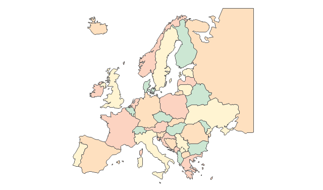
The vector stencils library "Europe" contains 45 state map contours for drawing thematic maps of Europe. Use it in your spatial infographics for visual representation of geospatial information, statistics and quantitative data.
"There are 50 internationally recognised sovereign states with territory located within the common definition of Europe and/ or membership in international European organisations, of which 44 have their capital city within Europe. All except the Vatican City are members of the United Nations (UN), and all except Belarus, Kazakhstan and Vatican City are members of the Council of Europe. Since 2013, 28 of these countries are also member states of the EU, which means they are highly integrated with each other and share their sovereignty with EU institutions." [List of sovereign states and dependent territories in Europe. Wikipedia]
The state map contours example "Europe - Vector stencils library" was created using the ConceptDraw PRO diagramming and vector drawing software extended with the Continent Maps solution from the Maps area of ConceptDraw Solution Park.
Europe
Central Europe
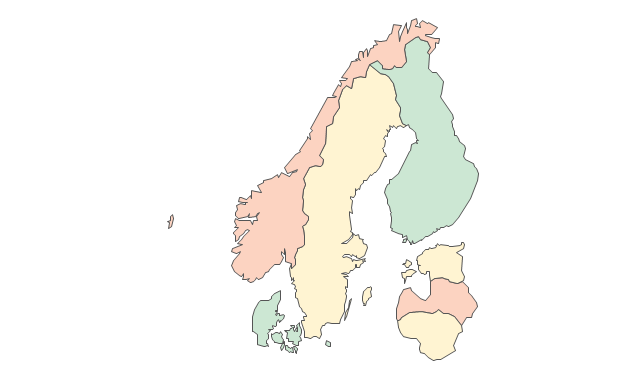
Scandanavia
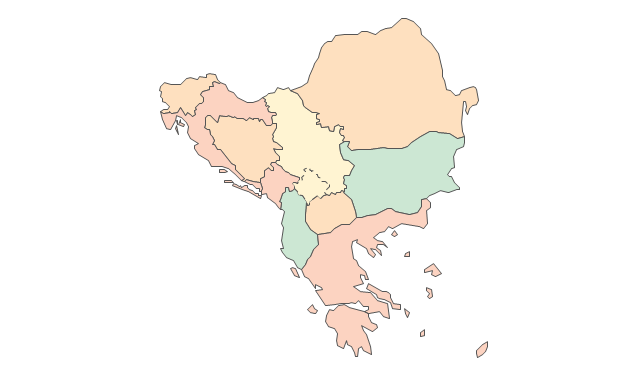
Balkans
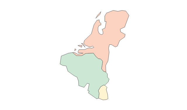
Benelux
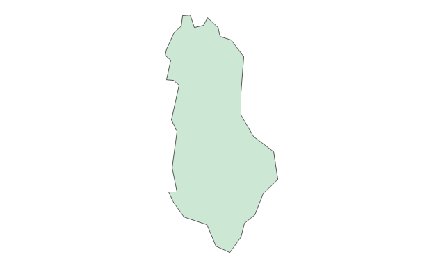
Albania
Austria
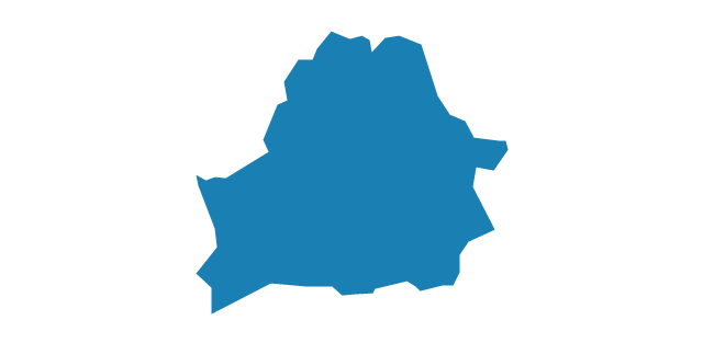
Belarus
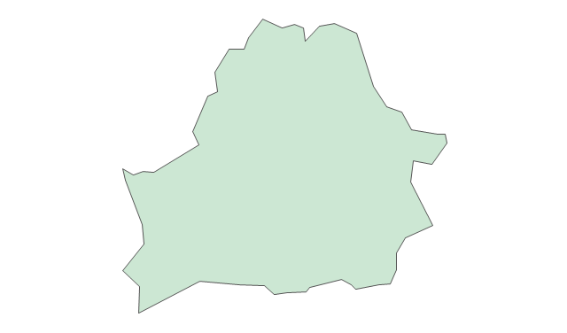
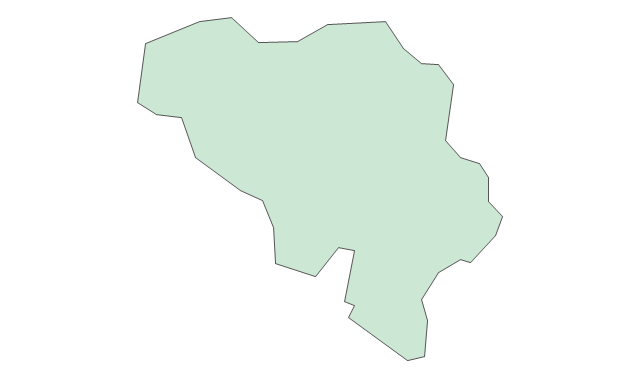
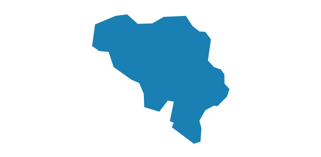
Belgium
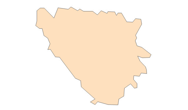
Bosnia and Herzegovina
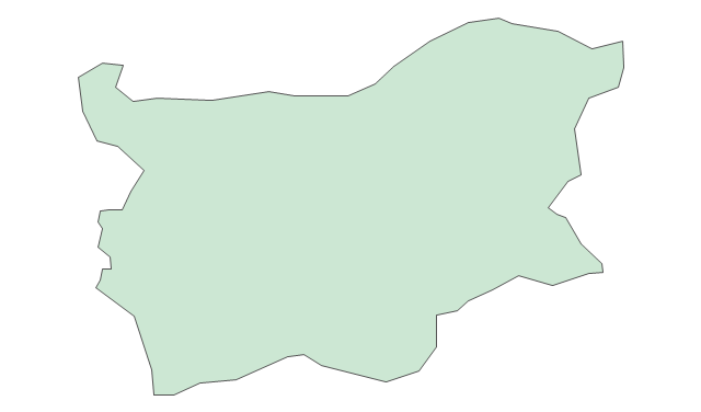
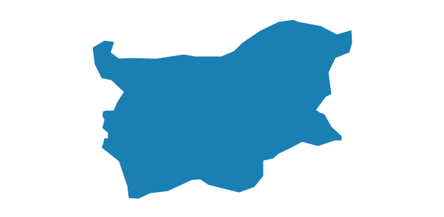
Bulgaria
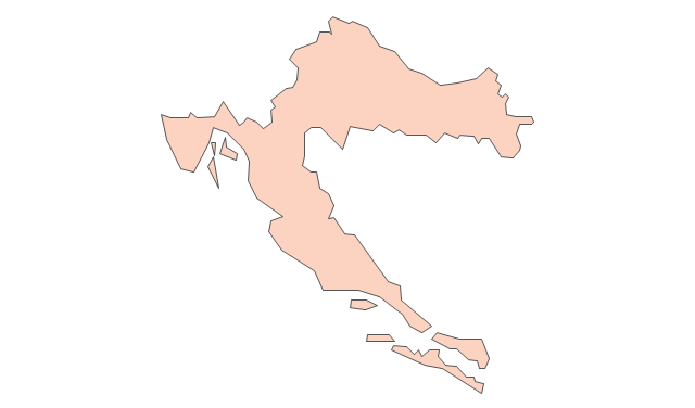
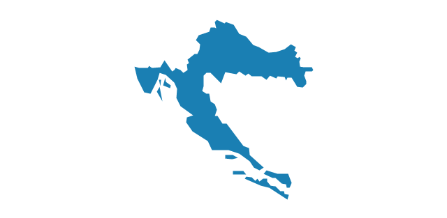
Croatia
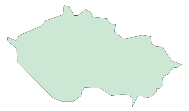
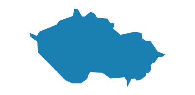
Czech Republic
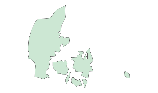
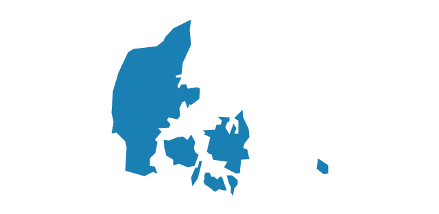
Denmark
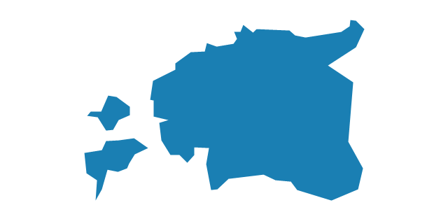
Estonia
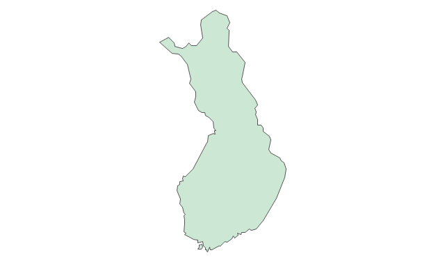
Finland
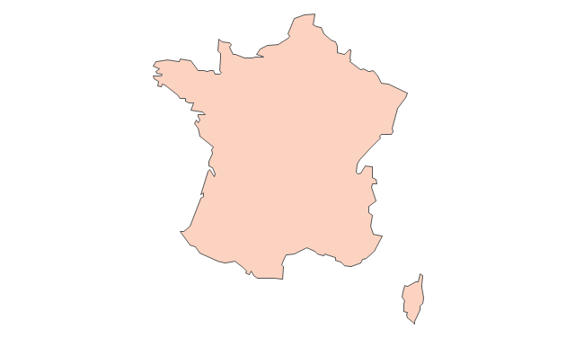
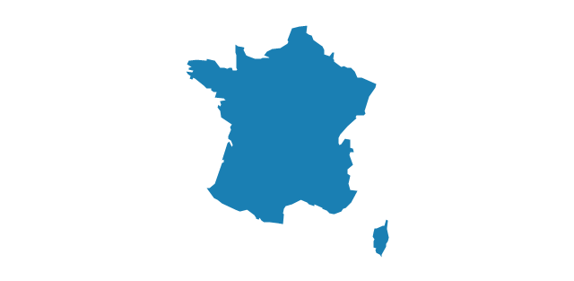
France
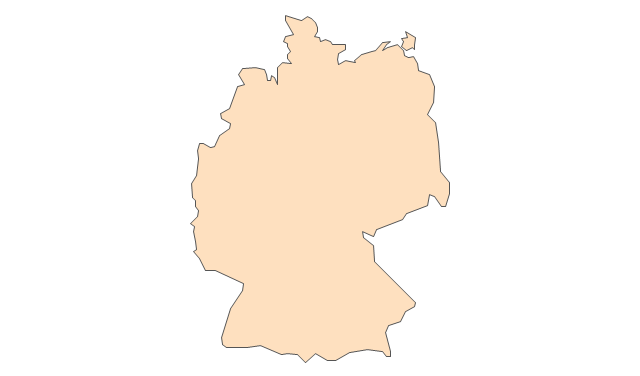
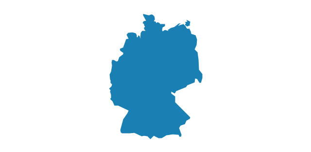
Germany
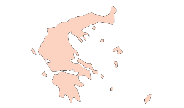
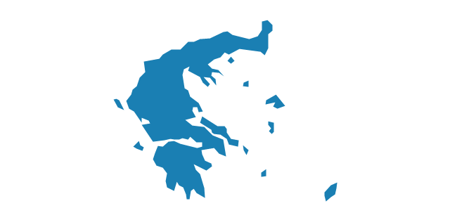
Greece
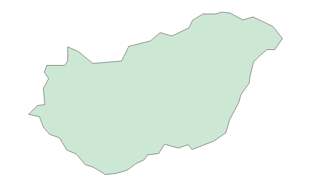
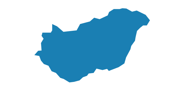
Hungary
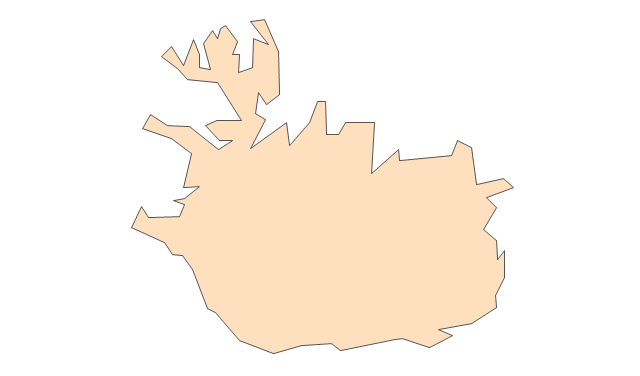
Iceland
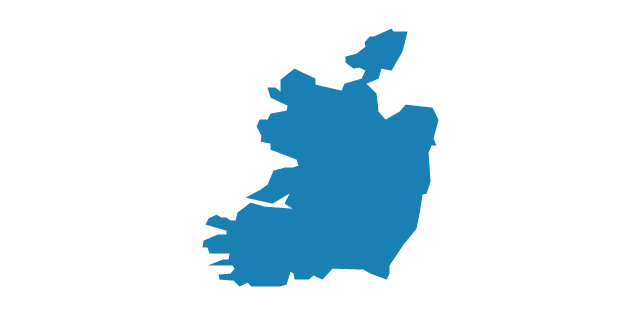
Ireland
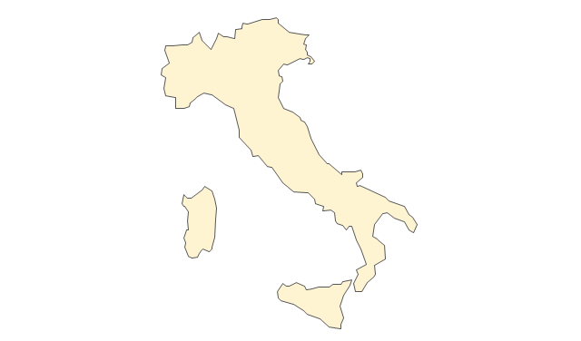
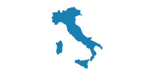
Italy
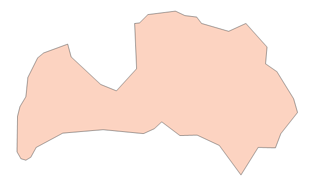
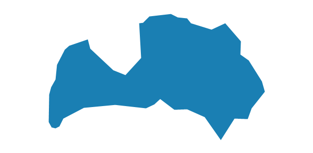
Latvia
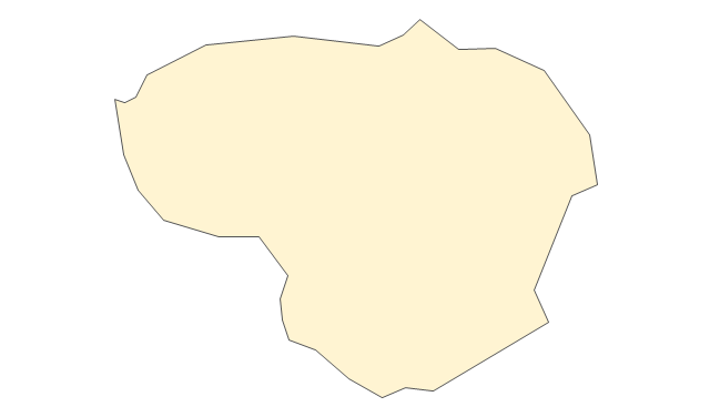
Lithuania
Luxembourg
Macedonia
Malta
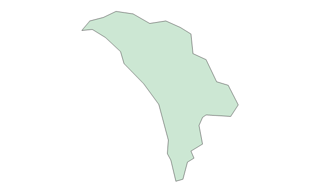
Moldova
Montenegro
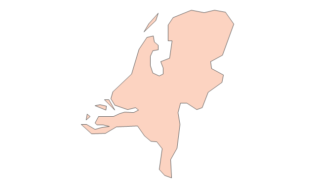
Netherlands
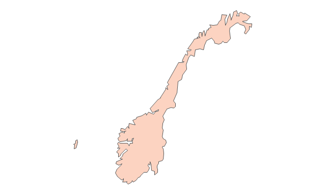
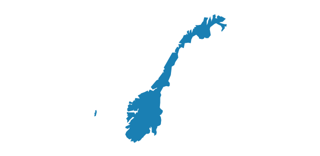
Norway
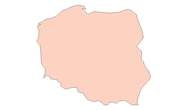
Poland
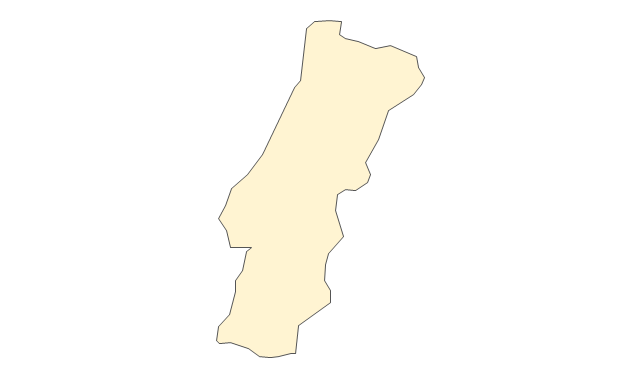
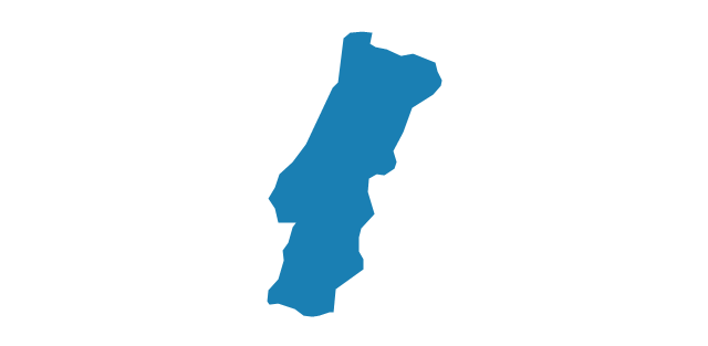
Portugal
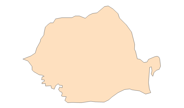
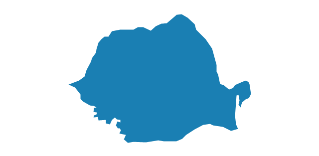
Romania
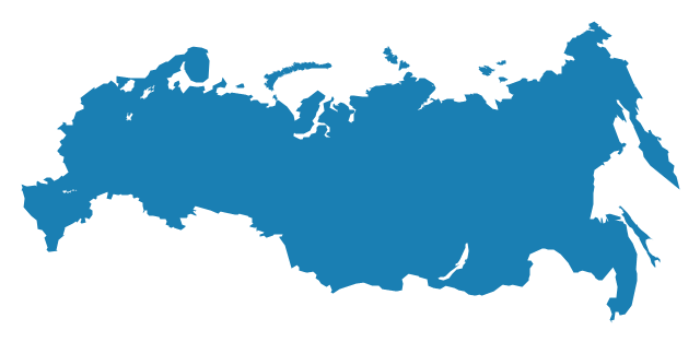
Russia
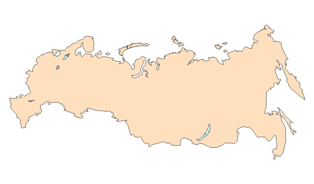
Russia (European)
-europe---vector-stencils-library.png--diagram-flowchart-example.png)
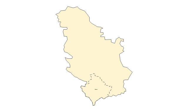
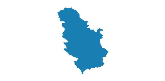
Serbia
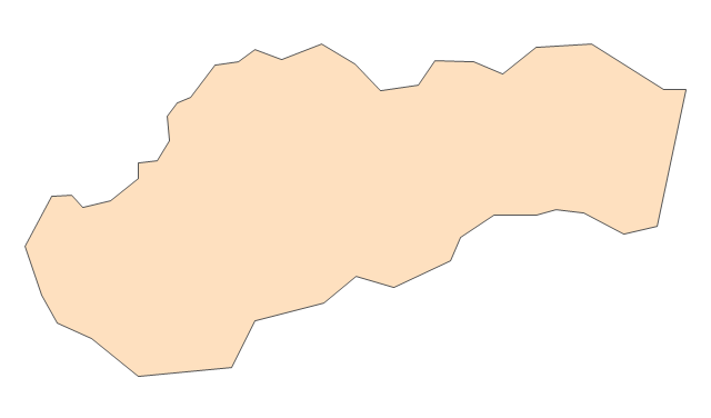
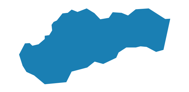
Slovakia
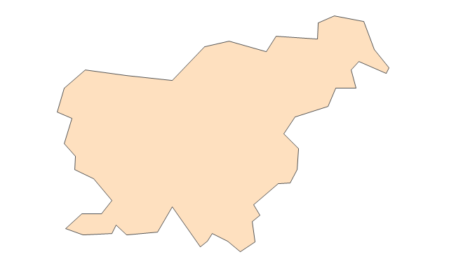
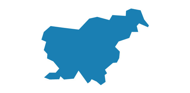
Slovenia
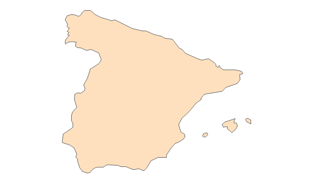
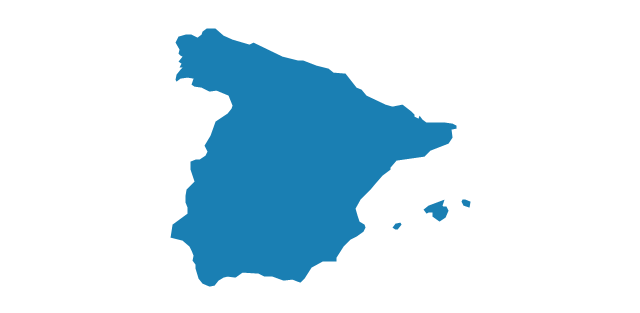
Spain
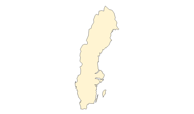
Sweden
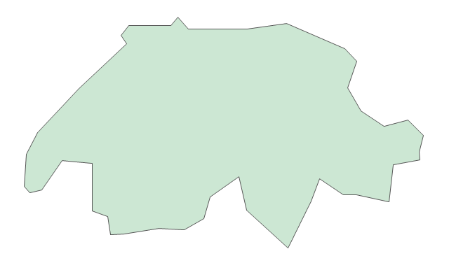
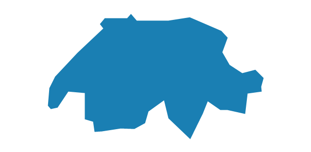
Switzerland
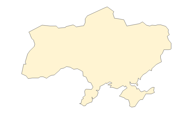
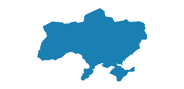
Ukraine
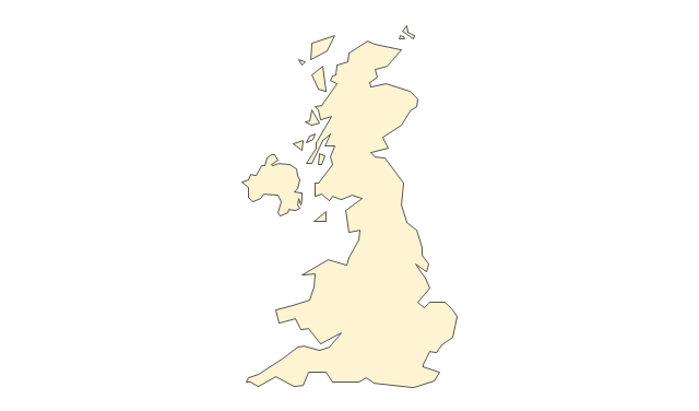
United Kingdom
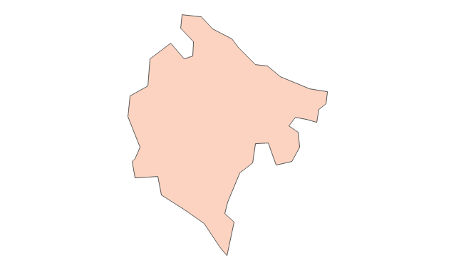
Contours Map of UK

Geo Map - Europe - United Kingdom

United Kingdom Cities

The vector stencils library "Europe" contains 39 country contours for drawing thematic maps of Europe.
Use it in your spatial infographics for visual representation of geospatial information, statistics and quantitative data in the ConceptDraw PRO diagramming and vector drawing software extended with the Spatial Infographics solution from the area "What is Infographics" of ConceptDraw Solution Park.
Use it in your spatial infographics for visual representation of geospatial information, statistics and quantitative data in the ConceptDraw PRO diagramming and vector drawing software extended with the Spatial Infographics solution from the area "What is Infographics" of ConceptDraw Solution Park.
Europe

Albania

Austria

Belarus
Belgium
Bosnia and Herzegovina

Bulgaria
Croatia
Czech Republic
Denmark
Estonia
Finland

France
Germany
Greece
Hungary
Iceland

Ireland
Italy
Latvia
Lithuania

Luxembourg

Macedonia

Moldova

Montenegro

Netherlands

Norway
Poland

Portugal
Romania
Russia
Serbia
Slovakia
Slovenia
Spain
Sweden

Switzerland
Ukraine
United Kingdom
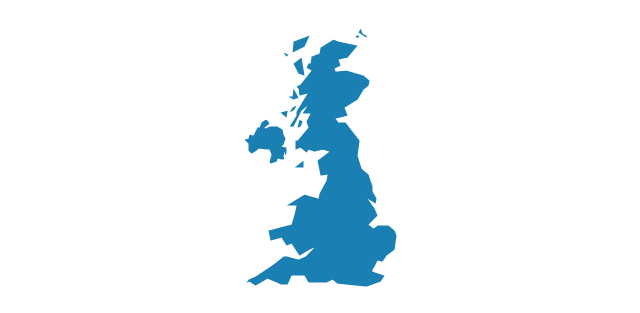
Map of UK

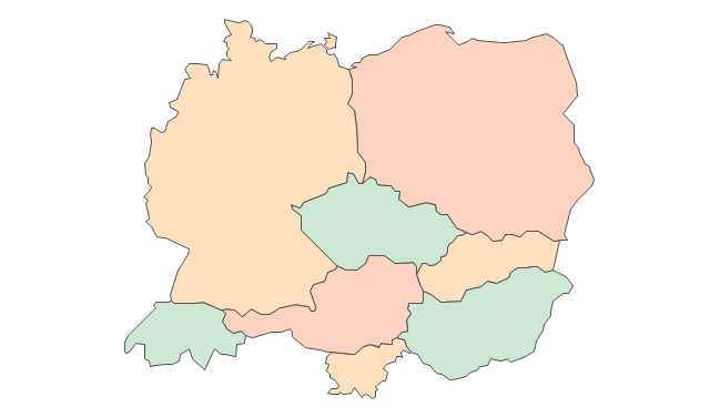
The vector stencils library "Education maps" contains 44 map contours: G-20 state maps, EU state maps and world map.
Use it to visualize geospatial information in your education infograms.
The vector stencils library "Education maps" is included in the Education Infographics solution from the Business Infographics area of ConceptDraw Solution Park.
Use it to visualize geospatial information in your education infograms.
The vector stencils library "Education maps" is included in the Education Infographics solution from the Business Infographics area of ConceptDraw Solution Park.
World map

Argentina

Australia

Austria

Belgium

Brazil

Bulgaria

Canada

China

Croatia

Cyprus

Czech Republic

Denmark

Estonia

Finland

France

Germany

Greece

Hungary

India

Indonesia

Ireland

Italy

Japan

Latvia

Lithuania

Luxembourg

Malta

Mexico

Poland

Portugal

Romania

Russia

Saudi Arabia

Slovakia

Slovenia

South Africa

South Korea

Spain

Sweden

The Netherlands

Turkey

United Kingdom

United States

 UK Map
The Map of UK solution contains collection of professionally designed samples and scalable vector stencil graphics maps, representing the United Kingdom counties, regions and cities. Use the Map of UK solution from ConceptDraw Solution Park as the base fo
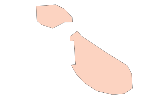
Map of UK — Isle of Man

UK Map

The vector stencils library "Europe" contains 39 country contours for drawing thematic maps of Europe.
Use it in your spatial infographics for visual representation of geospatial information, statistics and quantitative data in the ConceptDraw PRO diagramming and vector drawing software extended with the Spatial Infographics solution from the area "What is Infographics" of ConceptDraw Solution Park.
Use it in your spatial infographics for visual representation of geospatial information, statistics and quantitative data in the ConceptDraw PRO diagramming and vector drawing software extended with the Spatial Infographics solution from the area "What is Infographics" of ConceptDraw Solution Park.
Europe
Albania
Austria
Belarus
Belgium
Bosnia and Herzegovina
Bulgaria
Croatia
Czech Republic
Denmark
Estonia
Finland
France
Germany
Greece
Hungary
Iceland
Ireland
Italy
Latvia
Lithuania
Luxembourg
Macedonia
Moldova
Montenegro
Netherlands
Norway
Poland
Portugal
Romania
Russia
Serbia
Slovakia
Slovenia
Spain
Sweden
Switzerland
Ukraine
United Kingdom
- Northern Ireland cities and towns map | UK Map | Northern Ireland ...
- How To Draw Map Of Ireland Step By Step
- Northern Ireland cities and towns map | Map of UK — Northern ...
- Northern Ireland counties map | Northern Ireland cities and towns ...
- Map of UK — Northern Ireland | Northern Ireland cities and towns ...
- UK Map | Map of England | Northern Ireland cities and towns map ...
- UK Map | Northern Ireland cities and towns map | Map of UK ...
- Northern Ireland cities and towns map
- Geo Map - Europe - Poland | Geo Map - Europe - Ireland | Geo Map ...
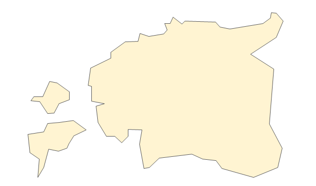
- Ireland
- Geo Map - Europe - Ukraine | Geo Map - Europe - Ireland | Flags ...
- Geo Map - Europe - Ukraine | Geo Map - Europe - Ireland | Geo Map ...
- Geo Map - Europe - Hungary
- Geo Map - Europe - Italy | Geo Map - Europe - Ireland | Geo Map ...
- Geo Map - Europe - Ukraine
- Geo Map - Europe - Croatia
- Geo Map - Europe - Poland | Geo Map - Europe - Ireland | Maps of ...
- Ireland Map Shape Turquoise
- Ireland