The vector stencils library "Education maps" contains 44 map contours: the Group of Twenty (G20) state maps, EU state maps and world map.
Use it to visualize geospatial information on thematic maps in your education infograms.
"A world map is a map of most or all of the surface of the Earth. ...
A thematic map shows geographic information about one or a few focused subjects." [World map. Wikipedia]
The political World map example "Design elements - Education maps (World map)" was created using the ConceptDraw PRO diagramming and vector drawing software extended with the Education Infographics solition from the area "Business Infographics" in ConceptDraw Solution Park.
World map
.png--diagram-flowchart-example.png)
Spatial infographics Design Elements: Continental Map

World Continents Map

Continents and Oceans Map

Map of Germany

Types of Map - Overview

Continents Map

Geo Map of Americas

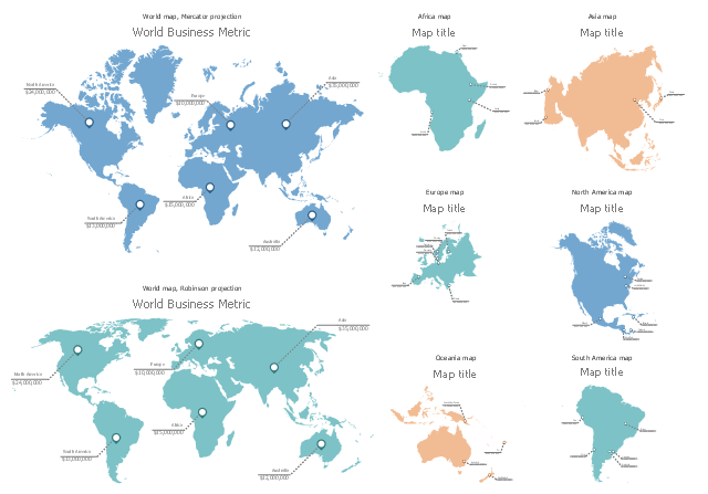
The vector stencils library "CRM maps" contains 8 thematic maps: World maps, continent maps (Africa map, Asia map, Europe map, North America map, South America map), and Oceania map.
Use it to represent geospatial data on your CRM center dashboards with ConceptDraw PRO software.
The thematic maps example "Design elements - CRM maps" is included in CRM Dashboard solution from Management area of ConceptDraw Solution Park.
Use it to represent geospatial data on your CRM center dashboards with ConceptDraw PRO software.
The thematic maps example "Design elements - CRM maps" is included in CRM Dashboard solution from Management area of ConceptDraw Solution Park.
Dashboard stencils
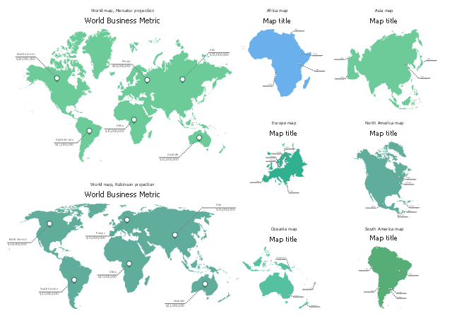
The vector stencils library "HR maps" contains 8 thematic maps: 2 World maps, Africa map, Asia map, Europe map, North America map, Oceania map, South America map.
Use it to represent geospatial data in your human resources dashboards with ConceptDraw PRO software.
The thematic maps example "Design elements - HR maps" is included in HR Dashboard solution from Management area of ConceptDraw Solution Park.
Use it to represent geospatial data in your human resources dashboards with ConceptDraw PRO software.
The thematic maps example "Design elements - HR maps" is included in HR Dashboard solution from Management area of ConceptDraw Solution Park.
- Design elements - Education maps ( World map ) | World Design
- Design elements - Marketing maps ( World map )
- World Continents Map | Map of Germany | Evacuation Design For ...
- Continent Maps
- Croatia World Map Wiki
- Continent Maps | Continents Map | Spatial infographics Design ...
- Spatial infographics Design Elements: Continental Map | World Map ...
- Design elements - Education maps ( World map ) | Design elements ...
- Continent Maps | Continents Map | World Continents Map ...
- Internet marketing - Concept map | Design elements - Marketing ...