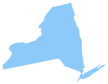
Geo Map - USA - New York
New York is a state in the Northeastern and Mid-Atlantic regions of the United States. The vector stencils library New York contains contours for ConceptDraw PRO diagramming and vector drawing software. This library is contained in the Continent Maps solution from Maps area of ConceptDraw Solution Park.Draw Company Structure with Organization Charting Software
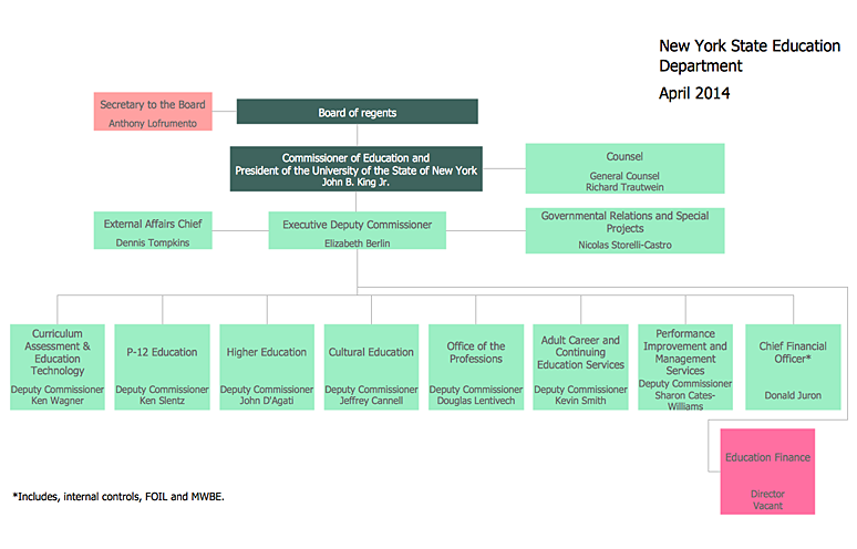
Draw Company Structure Diagram - get the detailed information about the company structure and hierarchy - who execute what tasks and who is in charge at this company. This information shows the reasoning and success of business and is indispensable for investors and financial institutions.
Geo Map - USA - New Jersey
New Jersey is a state in the Northeastern and Middle Atlantic regions of the United States. The vector stencils library New Jersey contains contours for ConceptDraw PRO diagramming and vector drawing software. This library is contained in the Continent Maps solution from Maps area of ConceptDraw Solution Park.How to draw Metro Map style infographics? (New York)
How to draw Metro Map style infographics of New York subway. New York Subway has a long history starting on October 27, 1904. Since the opening many agencies have provided schemes of the subway system. At present time are 34 lines in use. This page present New York City subway map construct with Metro Map Solution in Conceptdraw PRO software. This is a one-click tool to add stations to the map. It lets you control the direction in which you create new stations, change lengths, and add text labels and icons. It contains Lines, Stations, and Landmarks objectsHelpDesk
How to Draw an Organizational Chart Using ConceptDraw PRO
The organizational chart software is a valuable tool for modern business. It is important for any business to build a clear organizational structure that determines the responsibilities and relationships between different positions in the organization. The clear structured organization - means the clear structured business workflow, which is the core of success in the business. ConceptDraw PRO is an org chart software that allows you to draw an organizational structure of your company quickly and easily.Geo Map - USA - Maine
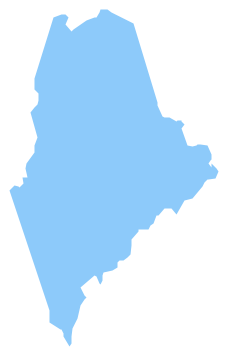
Maine is a state in the New England region of the northeastern United States, bordered by the Atlantic Ocean to the east and south; New Hampshire to the west; the Canadian provinces of Quebec to the northwest; and New Brunswick to the northeast. The vector stencils library Maine contains contours for ConceptDraw PRO diagramming and vector drawing software. This library is contained in the Continent Maps solution from Maps area of ConceptDraw Solution Park.Geo Map - USA - Massachusetts
Massachusetts, officially the Commonwealth of Massachusetts, is a state in the New England region of the northeastern United States. The vector stencils library Massachusetts contains contours for ConceptDraw PRO diagramming and vector drawing software. This library is contained in the Continent Maps solution from Maps area of ConceptDraw Solution Park.Geo Map - USA - Montana
Montana is a state in the Western United States. The vector stencils library Montana contains contours for ConceptDraw PRO diagramming and vector drawing software. This library is contained in the Continent Maps solution from Maps area of ConceptDraw Solution Park.Geo Map - USA - Mississippi
Mississippi is a U.S. state located in the Southern United States. The vector stencils library Mississippi contains contours for ConceptDraw PRO diagramming and vector drawing software. This library is contained in the Continent Maps solution from Maps area of ConceptDraw Solution Park.Geo Map - USA - New Hampshire
New Hampshire is a state in the New England region of the northeastern United States of America. The state was named after the southern English county of Hampshire. The vector stencils library New Hampshire contains contours for ConceptDraw PRO diagramming and vector drawing software. This library is contained in the Continent Maps solution from Maps area of ConceptDraw Solution Park.Geo Map - USA - Maryland
Maryland is a U.S. state located in the Mid-Atlantic region of the United States, bordering Virginia, West Virginia, and Washington, D.C. to its south and west; Pennsylvania to its north; and Delaware to its east. The vector stencils library Maryland contains contours for ConceptDraw PRO diagramming and vector drawing software. This library is contained in the Continent Maps solution from Maps area of ConceptDraw Solution Park.Geo Map - Canada - Ontario
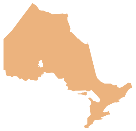
Ontario is one of the ten provinces of Canada, located in east-central Canada. The vector stencils library Ontario contains contours for ConceptDraw PRO diagramming and vector drawing software. This library is contained in the Continent Maps solution from Maps area of ConceptDraw Solution Park.Organization Chart Templates
Organization Chart Templates - Organizational Charts Solution from the Management Area of ConceptDraw Solution Park provides a wide collection of predesigned templates and samples that will help you create the Organizational Charts of any complexity in one moment.Geo Map - USA - Ohio
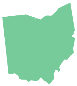
Ohio is a state in the Midwestern United States. The vector stencils library Ohio contains contours for ConceptDraw PRO diagramming and vector drawing software. This library is contained in the Continent Maps solution from Maps area of ConceptDraw Solution Park.Geo Map - USA - Florida
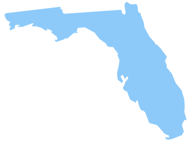
Florida is a state in the southeastern region of the United States, bordered to the west by the Gulf of Mexico, to the north by Alabama and Georgia, to the east by the Atlantic Ocean, and to the south by the Straits of Florida. The vector stencils library Florida contains contours for ConceptDraw PRO diagramming and vector drawing software. This library is contained in the Continent Maps solution from Maps area of ConceptDraw Solution Park.- Organizational chart - New York State Education Department | Geo ...
- Geo Map - USA - New York | Organizational chart - New York State ...
- How to Draw an Organization Chart | How to Draw an ...
- How to Draw an Organization Chart | Organizational chart - New ...
- Education | How to Create Education Infographics | Design elements ...
- Line Drawing Of Each Canadian Province
- Marketing and Sales Organization chart. Organization chart Example
- Infographic software: the sample of New York City Subway map ...
- Organizational chart - New York State Education Department ...
- How to draw Metro Map style infographics? ( New York ) | Map ...
- Organizational chart - New York State Education Department ...
- Organizational Structure | How to Draw an Organization Chart ...
- How to Draw an Organization Chart | ConceptDraw PRO ...
- How to draw Metro Map style infographics? Moscow, New York , Los ...
- Block Diagram Of Line Organization Management
- Geo Map - USA - Washington | How to Draw a Map of USA States ...
- How to Draw an Organization Chart | Organizational Charts with ...
- Transit map template | Maps | Design elements - Transport map ...
- Basic Flowchart Symbols and Meaning | How to Draw an ...
- Line Graph Charting Software | Draw Company Structure with ...
