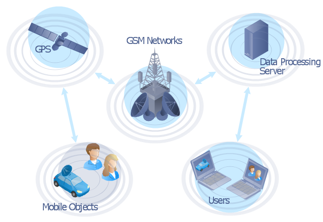
"The Global Positioning System (GPS) is a space-based satellite navigation system that provides location and time information in all weather conditions, anywhere on or near the Earth where there is an unobstructed line of sight to four or more GPS satellites. The system provides critical capabilities to military, civil and commercial users around the world. It is maintained by the United States government and is freely accessible to anyone with a GPS receiver." [Global Positioning System. Wikipedia]
This GPS operation diagram example was created using the ConceptDraw PRO diagramming and vector drawing software extended with the Telecommunication Network Diagrams solution from the Computer and Networks area of ConceptDraw Solution Park.
This GPS operation diagram example was created using the ConceptDraw PRO diagramming and vector drawing software extended with the Telecommunication Network Diagrams solution from the Computer and Networks area of ConceptDraw Solution Park.
GPS network diagram
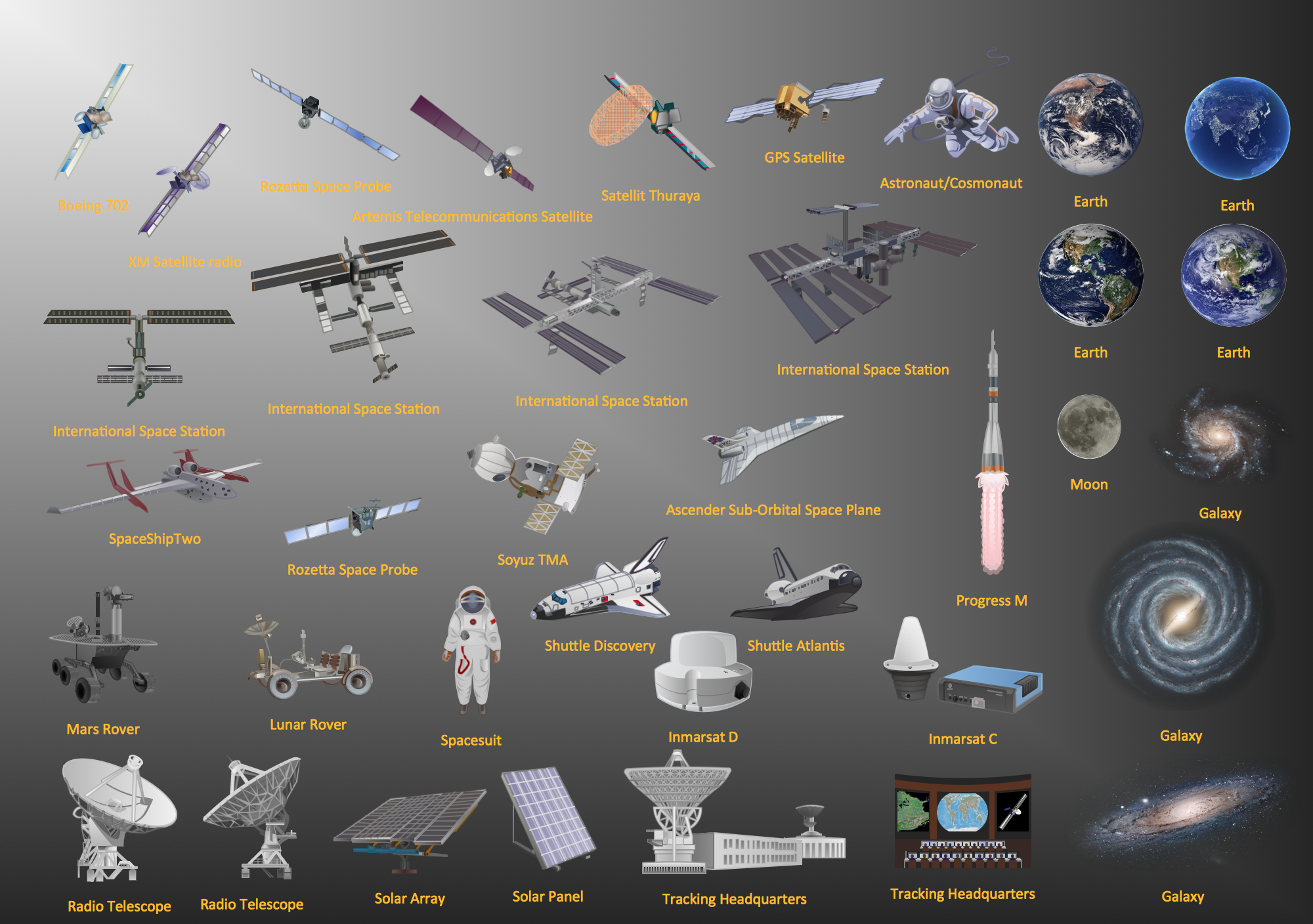
The vector stencils library "Aerospace" contains 38 clip art images for creating aerospace illustrations, presentation slides, infographics and webpages using the ConceptDraw PRO diagramming and vector drawing software.
"Aerospace describes the human effort in science, engineering and business to fly in the atmosphere of Earth (aeronautics) and surrounding space (astronautics). Aerospace organisations research, design, manufacture, operate, or maintain aircraft and/ or spacecraft. Aerospace activity is very diverse, with a multitude of commercial, industrial and military applications.
Aerospace is not the same as airspace, which is the physical air space directly above a location on the ground." [Aerospace. Wikipedia]
The vector stencils library "Aerospace" is included in the Aerospace and Transport solution from the Illustrations area of ConceptDraw Solution Park.
www.conceptdraw.com/ solution-park/ illustrations-aerospace-transport
Boeing 702
Satellite Radio
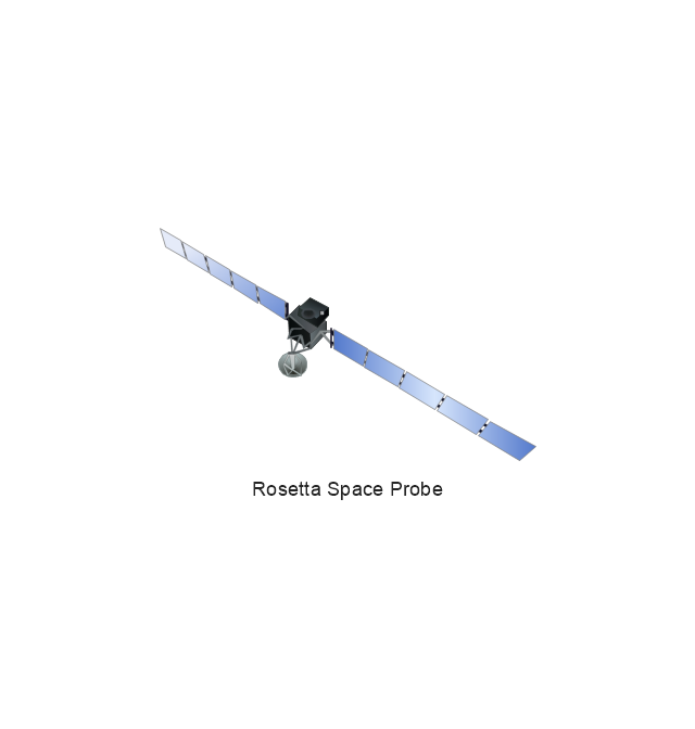
Rosetta Space Probe
Rosetta Space Probe
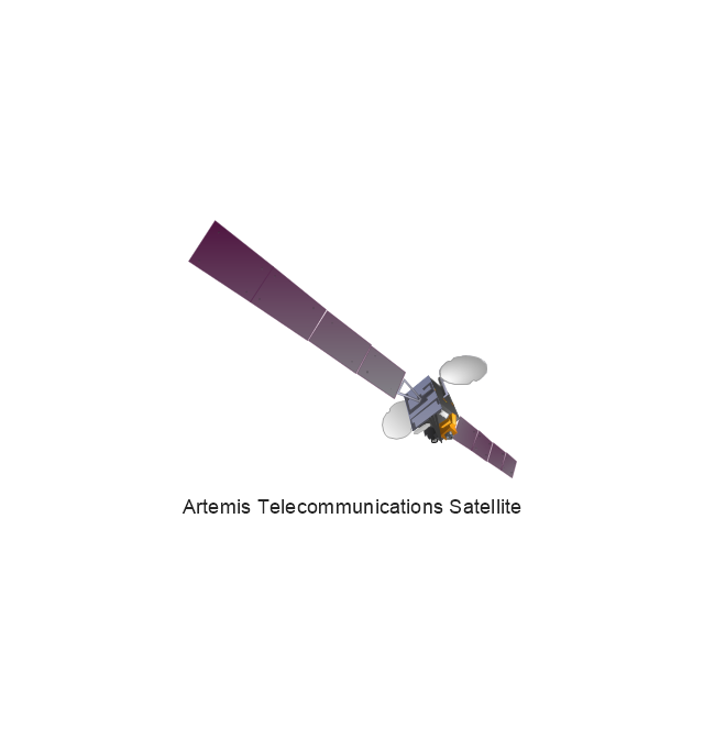
Artemis Telecommunications Satellite
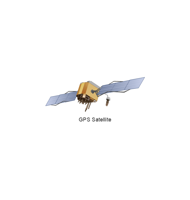
GPS Satellite
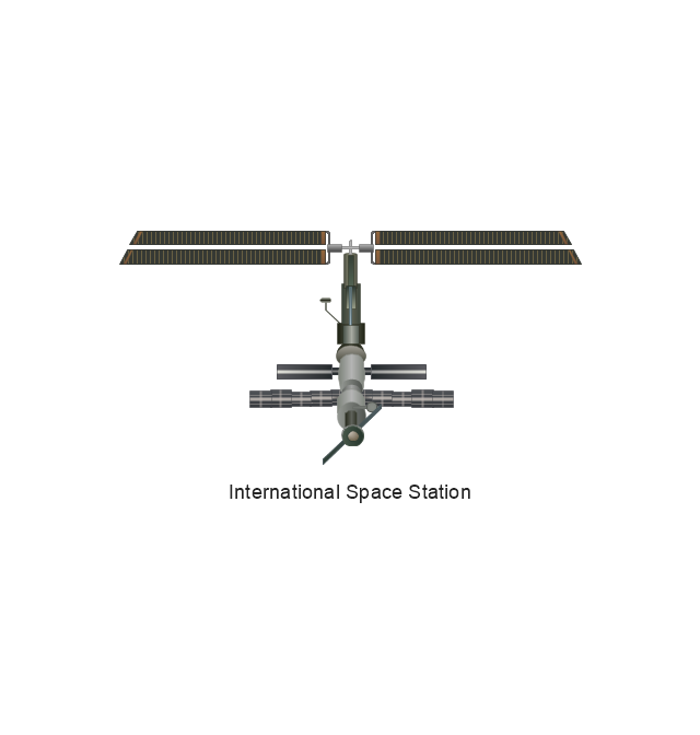
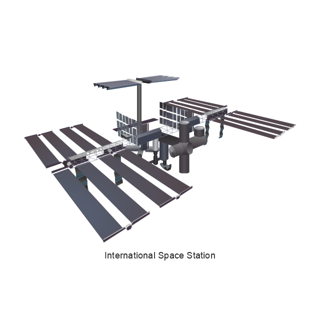
International Space Station
International Space Station
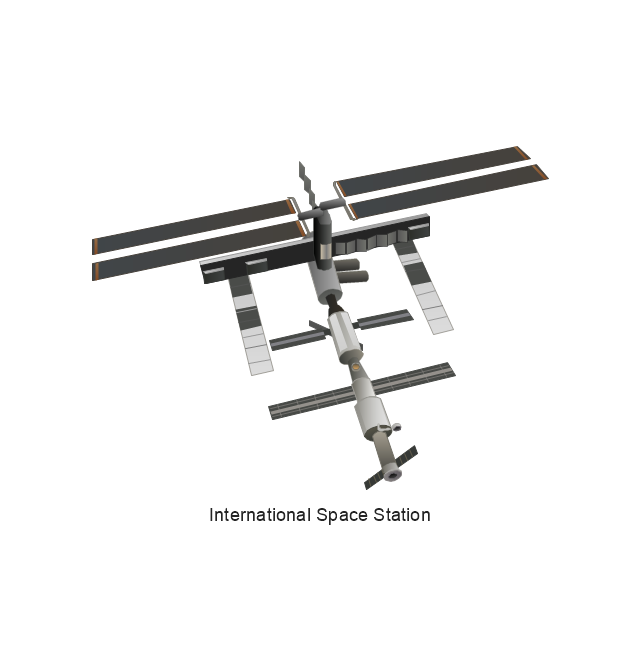
International Space Station
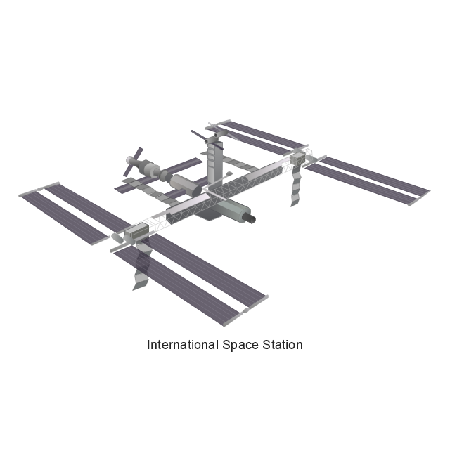
International Space Station
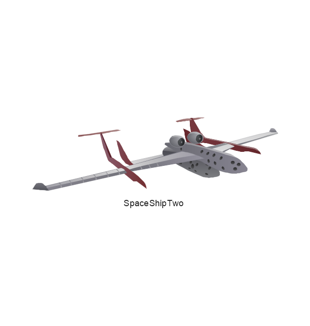
SpaceShipTwo
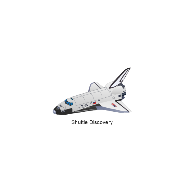
Shuttle Discovery
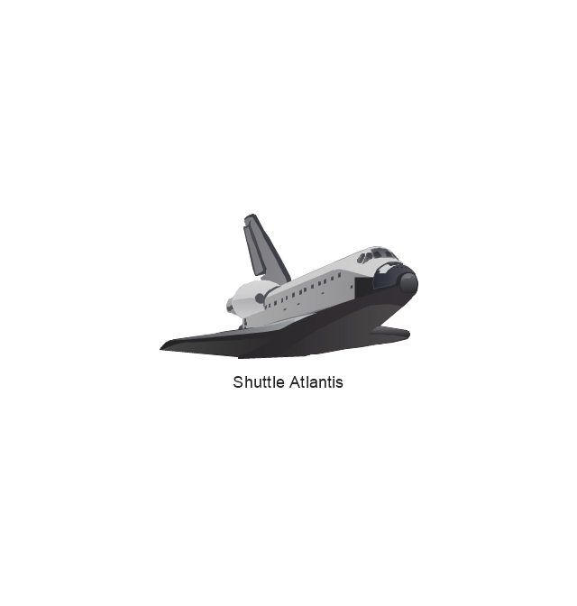
Shuttle Atlantis
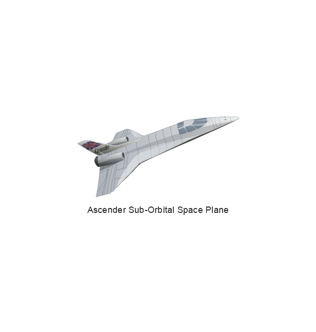
Ascender Sub-Orbital Space Plane
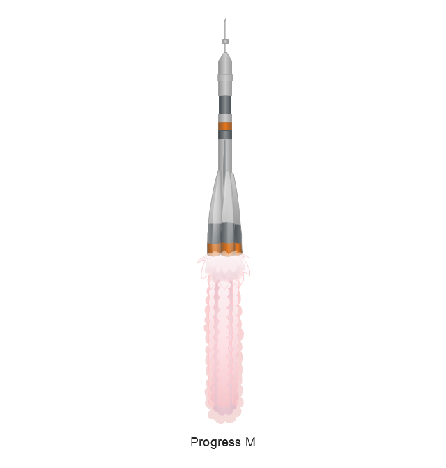
Progress M
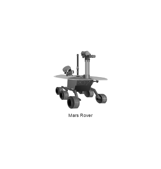
Mars Rover
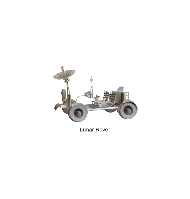
Lunar Rover
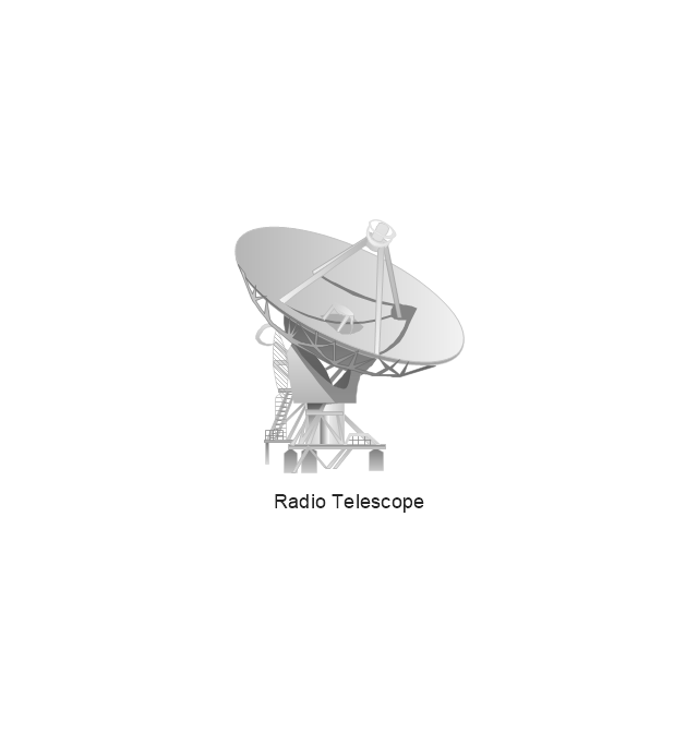
Radio Telescope
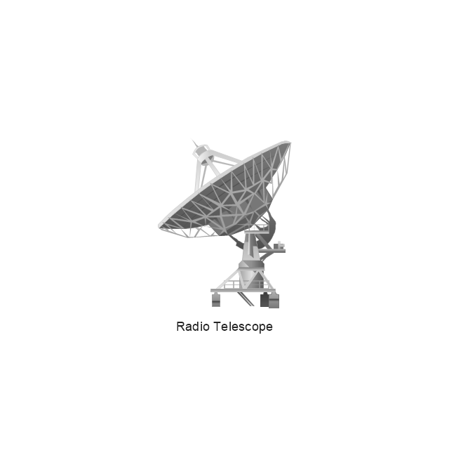
Radio Telescope
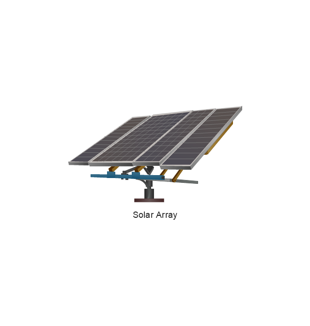
Solar Array
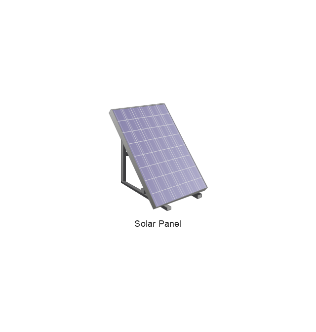
Solar Panel
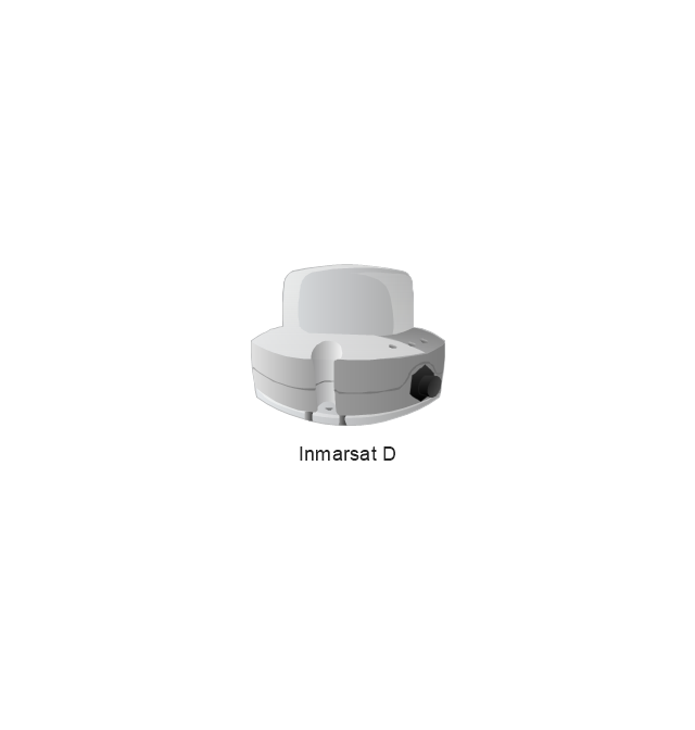
Inmarsat D
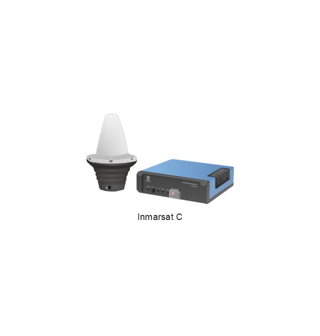
Inmarsat C
Spacesuit
Soyuz TMA
Satellite Thuraya
Tracking Headquarters
Earth
Earth

Earth
Earth

Moon
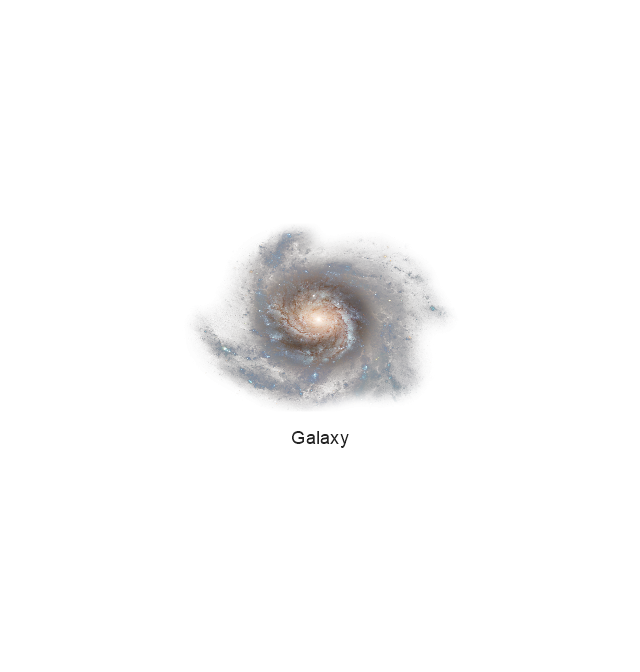
Galaxy
Galaxy
Galaxy
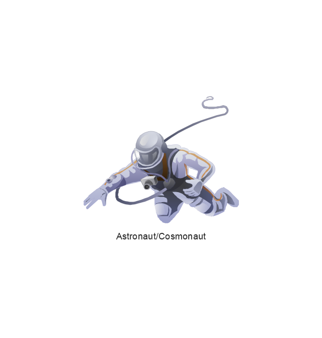
Astronaut/Cosmonaut
Tracking Headquarters
Night Sky

Aerospace - Design Elements
The vector stencils library "Aerospace" contains 38 clip art images for creating aerospace illustrations, presentation slides, infographics and webpages using the ConceptDraw PRO diagramming and vector drawing software.
"Aerospace describes the human effort in science, engineering and business to fly in the atmosphere of Earth (aeronautics) and surrounding space (astronautics). Aerospace organisations research, design, manufacture, operate, or maintain aircraft and/ or spacecraft. Aerospace activity is very diverse, with a multitude of commercial, industrial and military applications.
Aerospace is not the same as airspace, which is the physical air space directly above a location on the ground." [Aerospace. Wikipedia]
The vector stencils library "Aerospace" is included in the Aerospace and Transport solution from the Illustrations area of ConceptDraw Solution Park.
www.conceptdraw.com/ solution-park/ illustrations-aerospace-transport
"Aerospace describes the human effort in science, engineering and business to fly in the atmosphere of Earth (aeronautics) and surrounding space (astronautics). Aerospace organisations research, design, manufacture, operate, or maintain aircraft and/ or spacecraft. Aerospace activity is very diverse, with a multitude of commercial, industrial and military applications.
Aerospace is not the same as airspace, which is the physical air space directly above a location on the ground." [Aerospace. Wikipedia]
The vector stencils library "Aerospace" is included in the Aerospace and Transport solution from the Illustrations area of ConceptDraw Solution Park.
www.conceptdraw.com/ solution-park/ illustrations-aerospace-transport
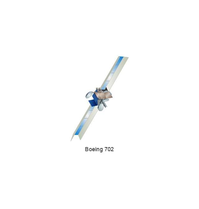
Boeing 702
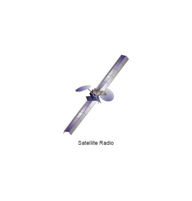
Satellite Radio
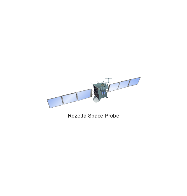
Rosetta Space Probe
Rosetta Space Probe
Artemis Telecommunications Satellite
GPS Satellite
International Space Station
International Space Station
International Space Station
International Space Station
SpaceShipTwo
Shuttle Discovery
Shuttle Atlantis
Ascender Sub-Orbital Space Plane
Progress M
Mars Rover
Lunar Rover
Radio Telescope
Radio Telescope
Solar Array
Solar Panel
Inmarsat D
Inmarsat C
Spacesuit
Soyuz TMA
Satellite Thuraya
Tracking Headquarters
Earth
Earth
Earth
Earth
Moon
Galaxy
Galaxy
Galaxy
Astronaut/Cosmonaut
Tracking Headquarters
Night Sky
The vector stencils library "Computers and network isometric" contains 56 3D clipart images of computer and network devices and equipment for drawing network diagrams.
The clip art example "Computers and network isometric - Vector stencils library" was created using the ConceptDraw PRO diagramming and vector drawing software extended with the Computer and Networks solution from the Computer and Networks area of ConceptDraw Solution Park.
The clip art example "Computers and network isometric - Vector stencils library" was created using the ConceptDraw PRO diagramming and vector drawing software extended with the Computer and Networks solution from the Computer and Networks area of ConceptDraw Solution Park.
Laptop

DDCS
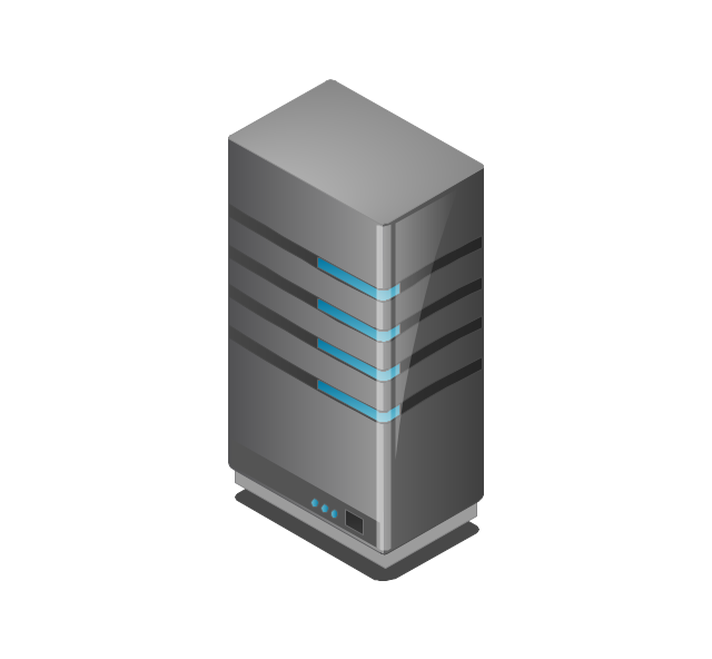
Server
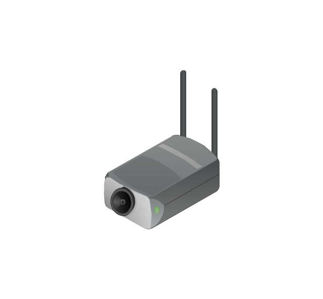
Webcam
Wireless Network Storage
Personal computer

VoIP phone
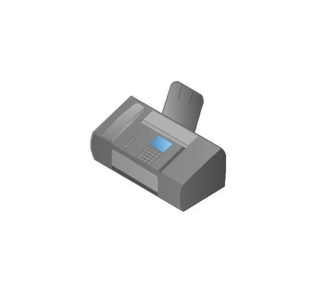
Fax
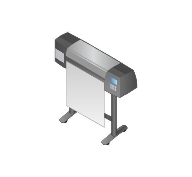
Plotter
Mobile phone
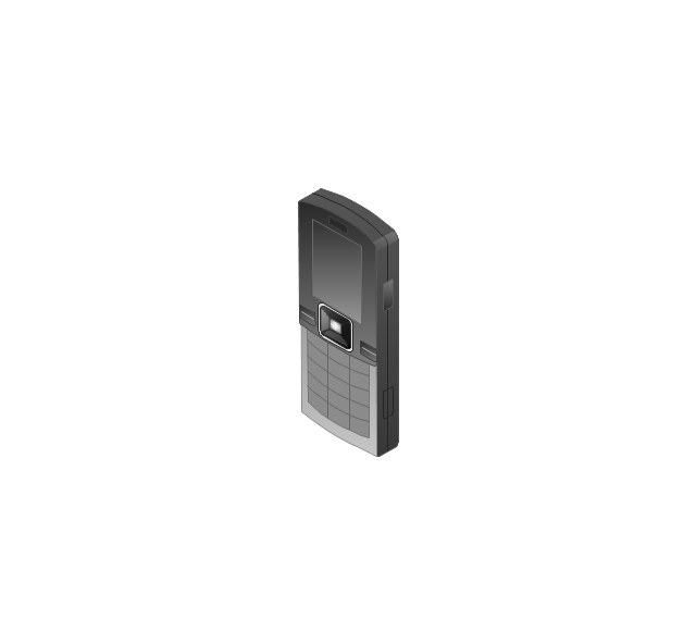
Feature phone

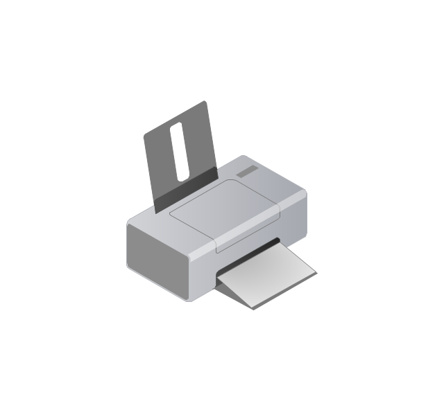
Printer
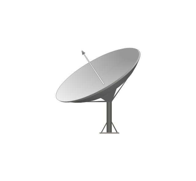
Satellite dish
Satellite antenna
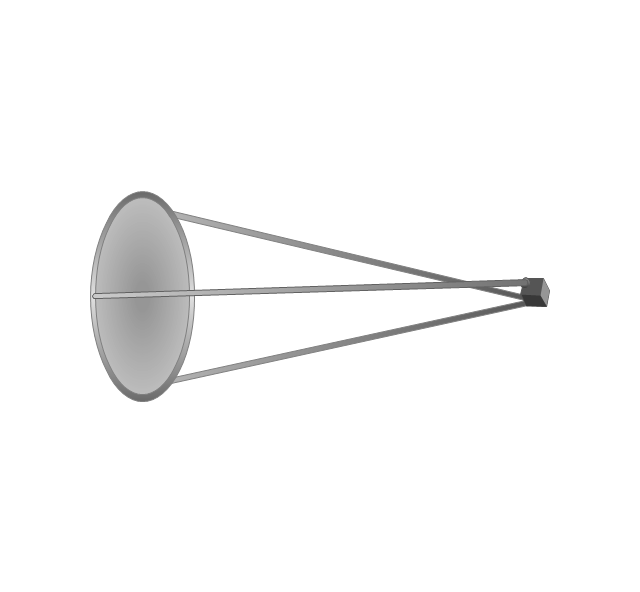
Automatic-tracking satellite dish
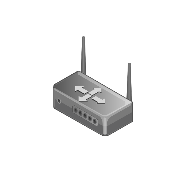
Wireless access point
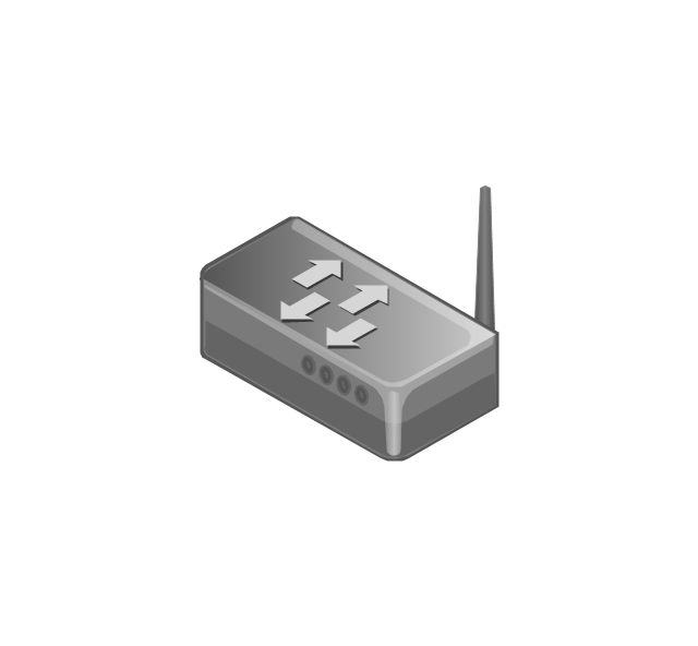
Wireless router
Router
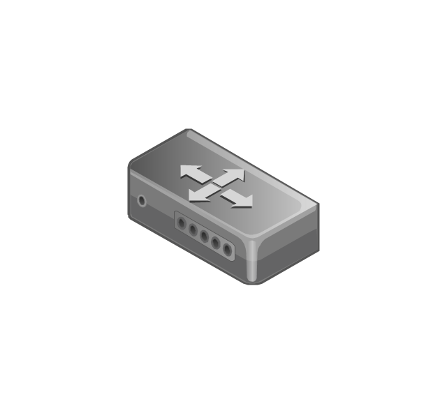
Network switch
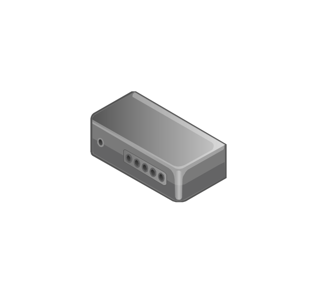
Network device
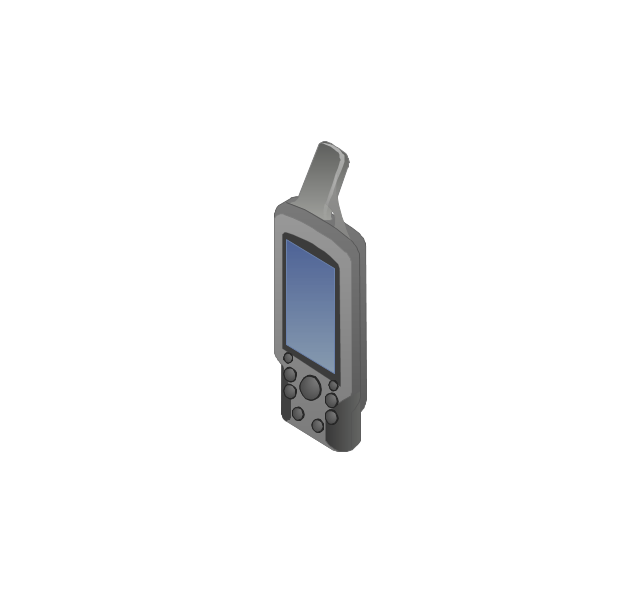
Mobile GPS Terminal
GPS phone
Television antenna
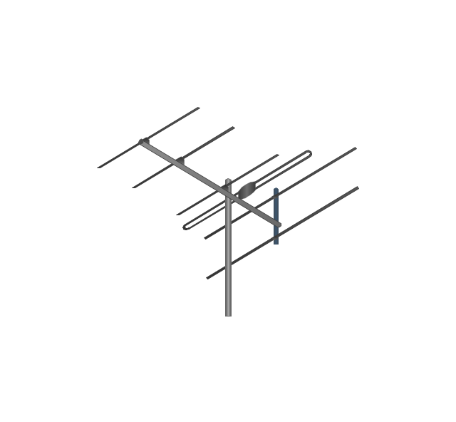
Radio tower

Base station

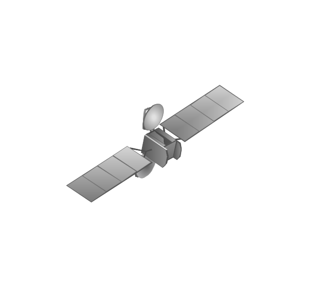
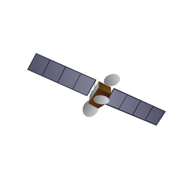
Satellite
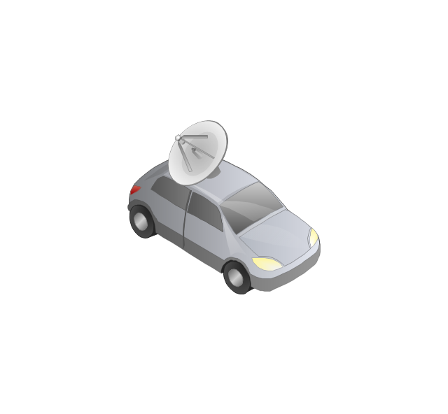
In-vehicle satellite telecommunication
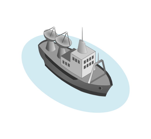
Satellite dishes on ship
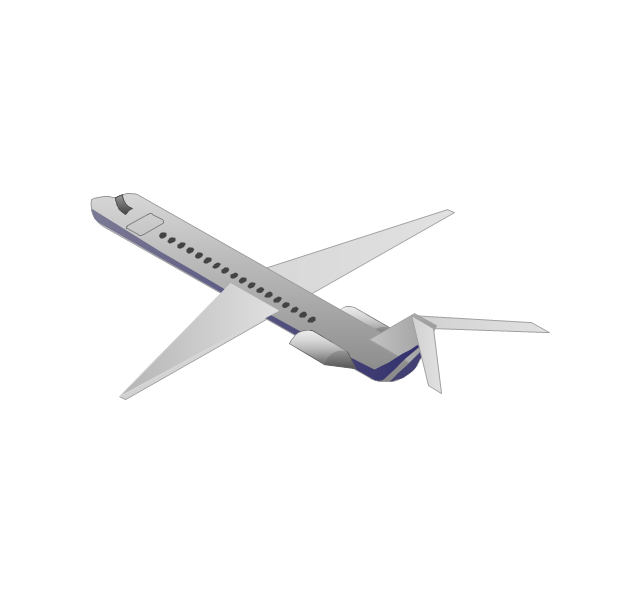
Airplane
Internet

Man

Woman

Call-center

Honeycomb

Mountain

Radio waves

Radio waves

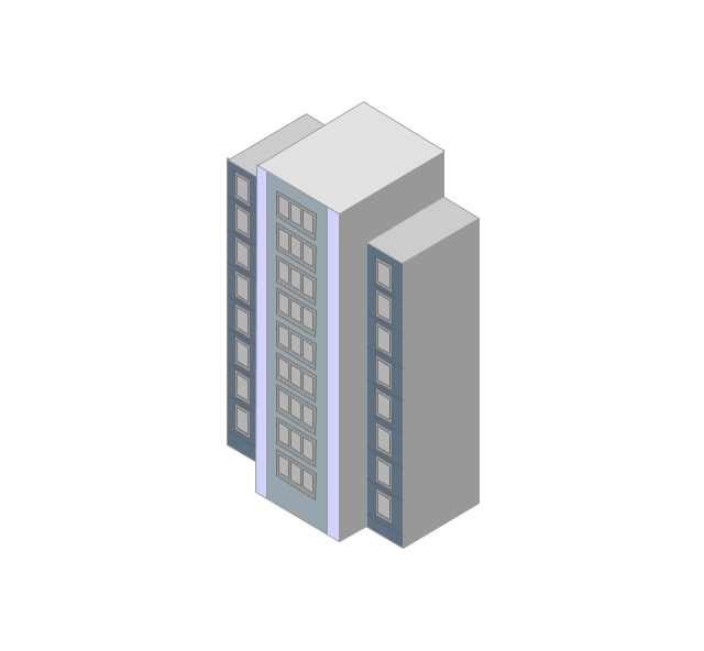
Tower block
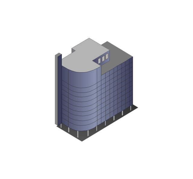
Office building
House

House

Globe

Wireless security camera
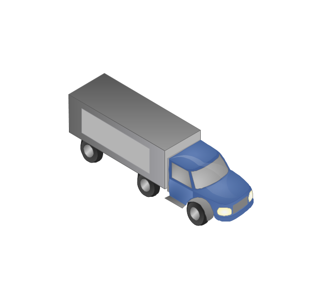
Truck
Tree

Conifer tree

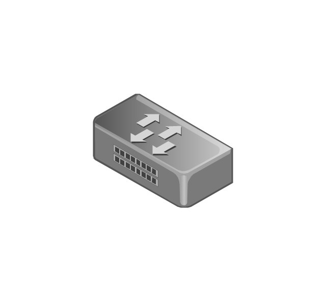
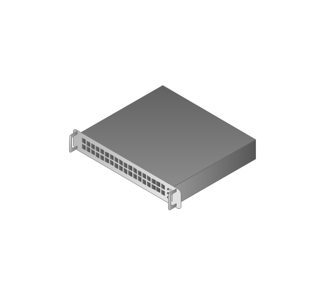
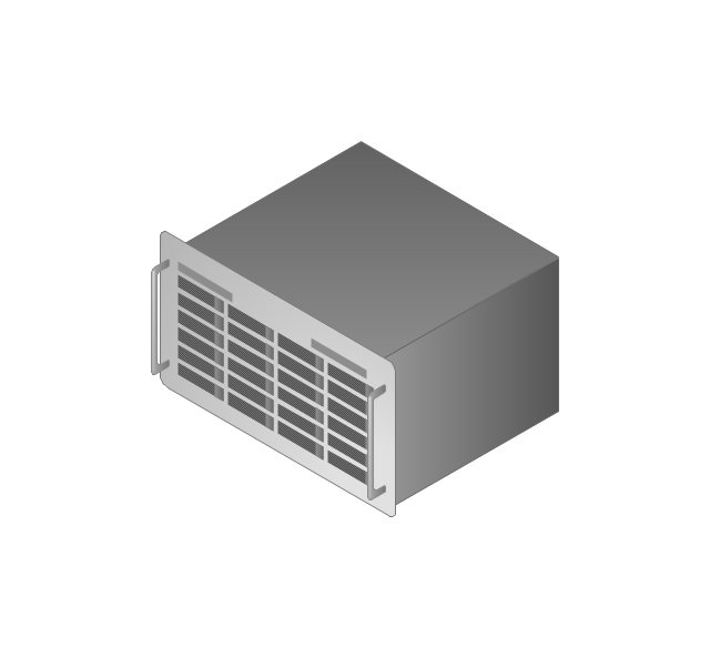
1U hub / switch
2U hub / switch
1U server

2U Server
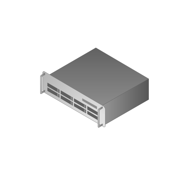
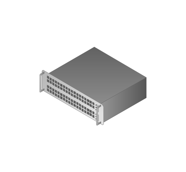
3U Server
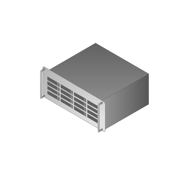
4U Server
Communications satellite
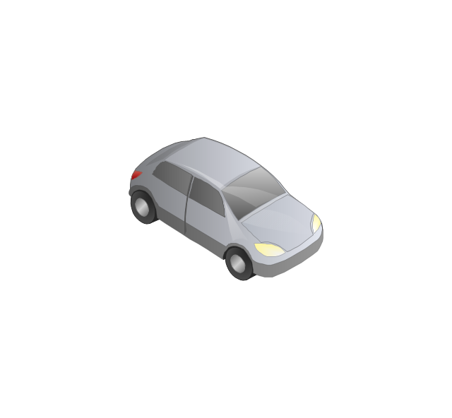
Car
Radio waves

Firewall

 Aerospace and Transport
This solution extends ConceptDraw DIAGRAM software with templates, samples and library of vector clipart for drawing the Aerospace and Transport Illustrations. It contains clipart of aerospace objects and transportation vehicles, office buildings and anci
3D Network Diagram Software


The vector stencils library "Aerospace" contains 38 clip art images for creating aerospace illustrations, presentation slides, infographics and webpages using the ConceptDraw PRO diagramming and vector drawing software.
"Aerospace describes the human effort in science, engineering and business to fly in the atmosphere of Earth (aeronautics) and surrounding space (astronautics). Aerospace organisations research, design, manufacture, operate, or maintain aircraft and/ or spacecraft. Aerospace activity is very diverse, with a multitude of commercial, industrial and military applications.
Aerospace is not the same as airspace, which is the physical air space directly above a location on the ground." [Aerospace. Wikipedia]
The vector stencils library "Aerospace" is included in the Aerospace and Transport solution from the Illustrations area of ConceptDraw Solution Park.
www.conceptdraw.com/ solution-park/ illustrations-aerospace-transport
"Aerospace describes the human effort in science, engineering and business to fly in the atmosphere of Earth (aeronautics) and surrounding space (astronautics). Aerospace organisations research, design, manufacture, operate, or maintain aircraft and/ or spacecraft. Aerospace activity is very diverse, with a multitude of commercial, industrial and military applications.
Aerospace is not the same as airspace, which is the physical air space directly above a location on the ground." [Aerospace. Wikipedia]
The vector stencils library "Aerospace" is included in the Aerospace and Transport solution from the Illustrations area of ConceptDraw Solution Park.
www.conceptdraw.com/ solution-park/ illustrations-aerospace-transport
Boeing 702
Satellite Radio
Rosetta Space Probe
Rosetta Space Probe
Artemis Telecommunications Satellite
GPS Satellite
International Space Station
International Space Station
International Space Station
International Space Station
SpaceShipTwo
Shuttle Discovery
Shuttle Atlantis
Ascender Sub-Orbital Space Plane
Progress M
Mars Rover
Lunar Rover
Radio Telescope
Radio Telescope
Solar Array
Solar Panel
Inmarsat D
Inmarsat C
Spacesuit
Soyuz TMA
Satellite Thuraya
Tracking Headquarters
Earth
Earth
Earth
Earth
Moon
Galaxy
Galaxy
Galaxy
Astronaut/Cosmonaut
Tracking Headquarters
Night Sky
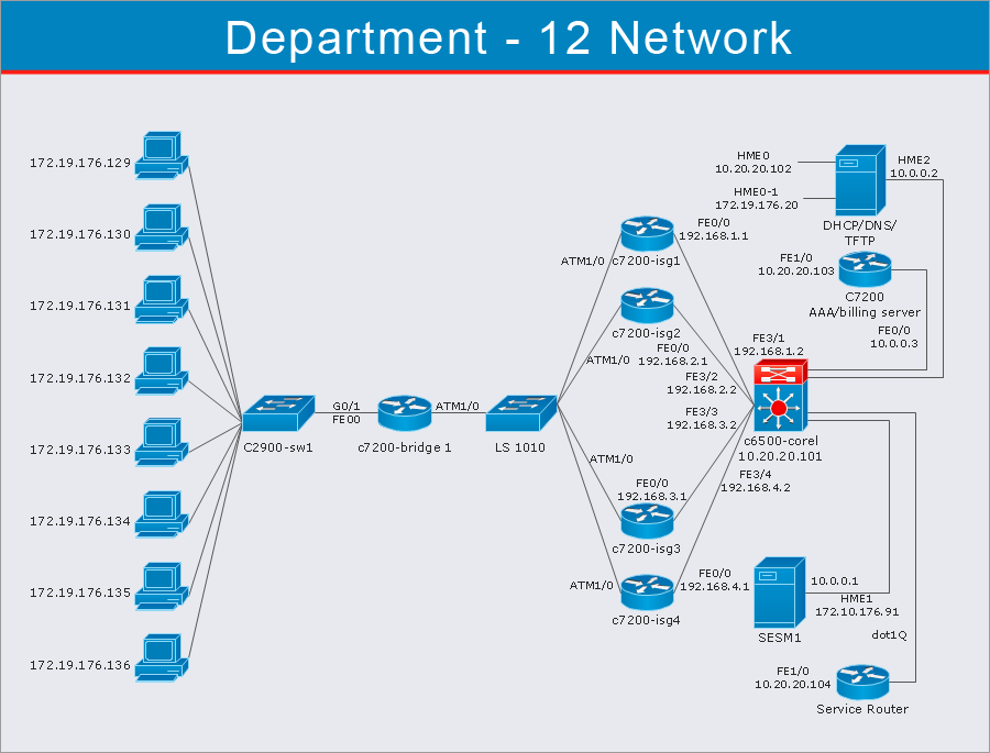
This vehicular network diagram example was drawn on the base of picture illustrating the article "Automatic Vehicle Location: Rural Transit" from the website of the Research and Innovative Technology Administration (RITA), U.S. Department of Transportation (US DOT).
"Automatic Vehicle Location (AVL) systems calculate the real-time location of any vehicle equipped with a Global Positioning Satellite (GPS) receiver. Data are then transmitted to the transit center with use of radio or cellular communications and can be used immediately for daily operations as well as archived for further analysis.
As a stand-alone technology, an AVL system can be used to monitor on-time performance. When combined with other technologies, AVL can deliver many benefits in the areas of fleet management, service planning, safety and security, traveler information, fare payment, vehicle component monitoring, and data collection. Since the greatest benefits from AVL are achieved by combining it with other Intelligent Transportation System (ITS) technologies, AVL is most appropriate for large rural agencies with more than 30 vehicles that plan to implement a comprehensive ITS."
[pcb.its.dot.gov/ factsheets/ avl/ avlRural_ overview.asp]
The vehicular network diagram example "Automatic vehicle location" was created using the ConceptDraw PRO diagramming and vector drawing software extended with the Vehicular Networking solution from the Computer and Networks area of ConceptDraw Solution Park.
Vehicular network diagram

Used Solutions
Network Diagram Software
Electrical Symbols — VHF UHF SHF
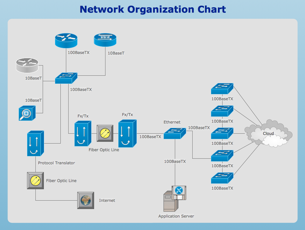
 Telecommunication Network Diagrams
Telecommunication Network Diagrams solution extends ConceptDraw DIAGRAM software with samples, templates, and great collection of vector stencils to help the specialists in a field of networks and telecommunications, as well as other users to create Computer systems networking and Telecommunication network diagrams for various fields, to organize the work of call centers, to design the GPRS networks and GPS navigational systems, mobile, satellite and hybrid communication networks, to construct the mobile TV networks and wireless broadband networks.
Network Drawing Software
Network Diagram Software

- Satellite Clipart Png
- Gps Logo Png
- Fighter Airplane Icon Png
- Gps Icon Png
- Radio Satellite Png
- Earth Illustration Png
- Mission Control Clipart Png
- Satellite Cartoon Png
- Wifi Waves Png
- Satellite Vector Png
- Tourist Airplane Png
- Satellite Inmarsat Vector Png
- Beauty in nature Illustrations and Clipart | Satellite telecom network ...
- Moon Rover Png
- Astronaut Illustration Png
- 3d Mountain Png
- Flat Airplane Png
- Solar Vector Png
- Plane Illustration Png
- Solar Png