Geo Map — United States of America Map

The stencils library "North and Central America flags" contains 35 clipart images of North and Central American countries state flags.
"Flags of North America.
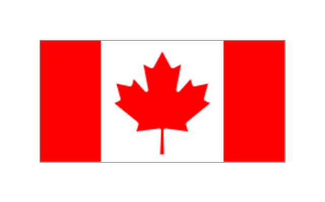
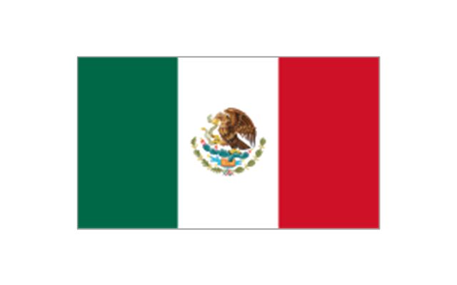
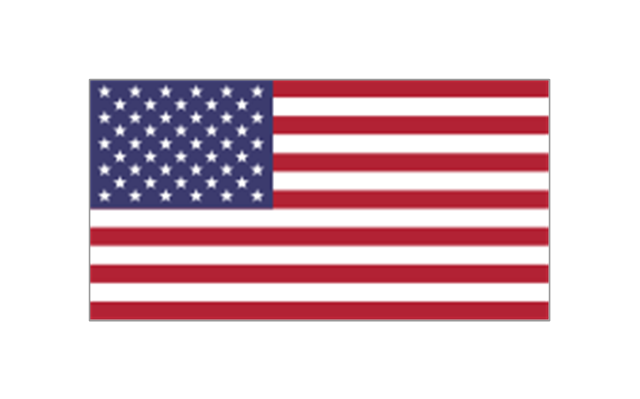
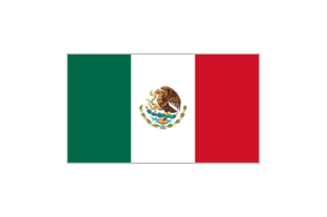
North America: Flag of Canada, Flag of Mexico, Flag of the United States.
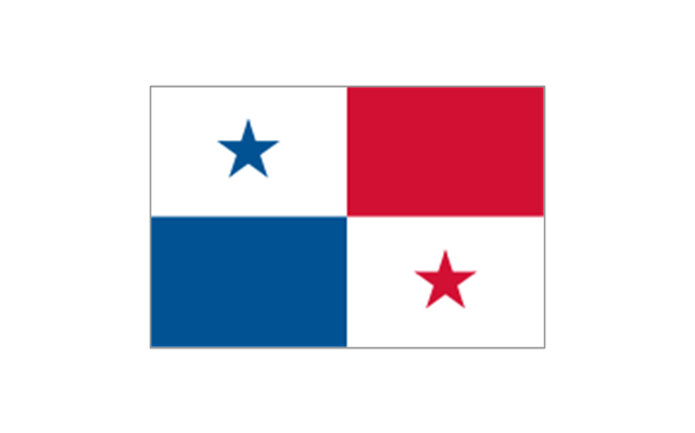
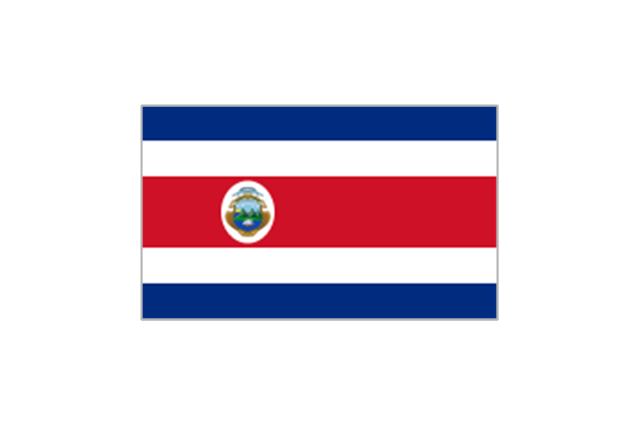
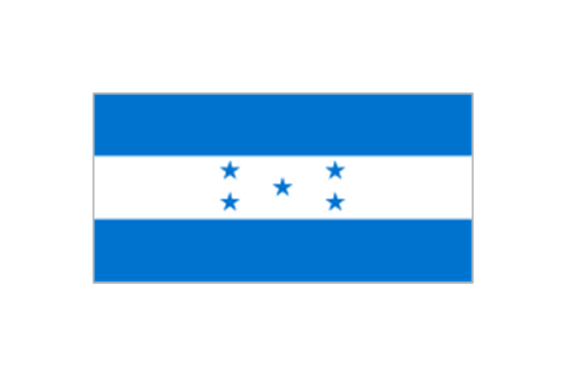
Central America: Flag of Belize, Flag of Costa Rica, Flag of El Salvador, Flag of Guatemala, Flag of Honduras, Flag of Nicaragua, Flag of Panama.
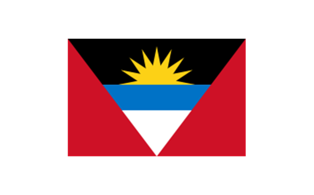
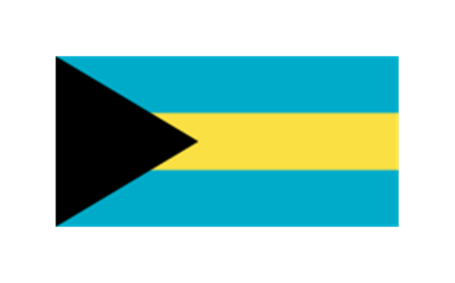
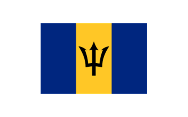
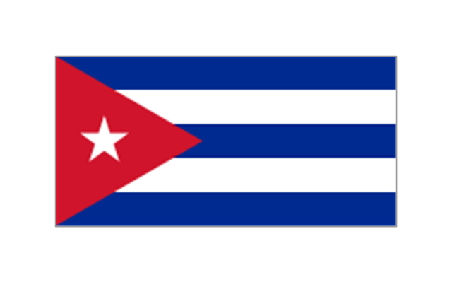
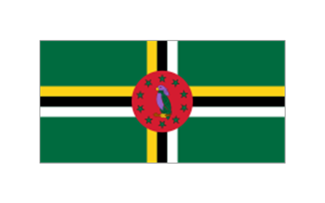
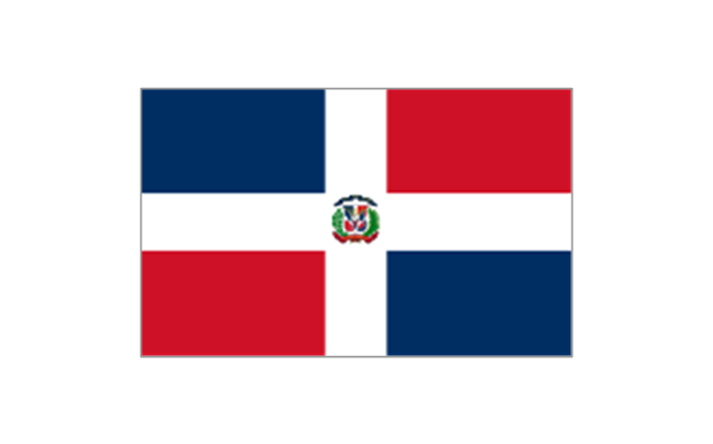
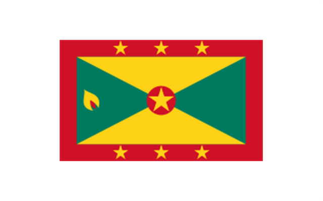
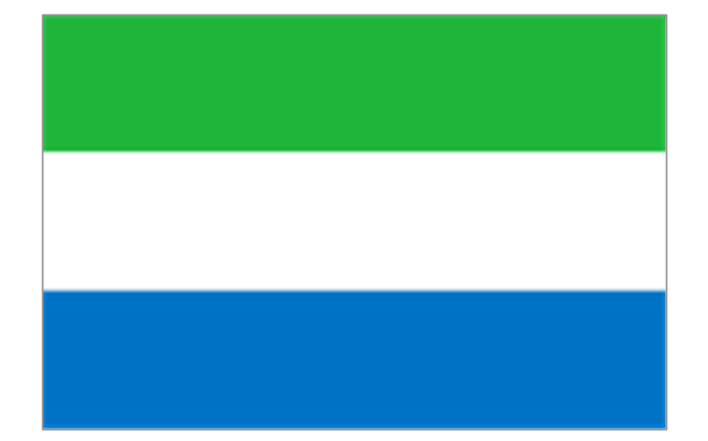
Caribbean: Flag of Anguilla (United Kingdom), Flag of Antigua and Barbuda, Flag of Aruba (Netherlands), Flag of the Bahamas, Flag of Barbados, Flag of Bonaire (Netherlands), Flag of the British Virgin Islands (United Kingdom), Flag of the Cayman Islands (United Kingdom), Flag of Cuba, Flag of Curacao (Netherlands), Flag of Dominica, Flag of the Dominican Republic, Flag of Grenada, Unofficial Flag of Guadeloupe (France), Flag of Haiti, Flag of Jamaica, Unofficial Flag of Martinique (France), Flag of Montserrat (United Kingdom), Unofficial Flag of Navassa Island (United States), Flag of Puerto Rico (United States), Flag of Saba (Netherlands), Unofficial Flag of Saint Barthelemy (France), Flag of Saint Kitts and Nevis, Flag of Saint Lucia, Unofficial Flag of Saint Martin (France), Flag of Saint Vincent and the Grenadines, Flag of Sint Eustatius (Netherlands), Flag of Sint Maarten (Netherlands), Flag of Trinidad and Tobago, Flag of the Turks and Caicos Islands (United Kingdom), Flag of the United States Virgin Islands (United States)." [Flags of North America. Wikipedia]
The clip art example "North and Central America flags - Stencils library" was created using the ConceptDraw PRO diagramming and vector drawing software extended with the Continent Maps solution from the Maps area of ConceptDraw Solution Park.
www.conceptdraw.com/ solution-park/ maps-continent
"Flags of North America.
North America: Flag of Canada, Flag of Mexico, Flag of the United States.
Central America: Flag of Belize, Flag of Costa Rica, Flag of El Salvador, Flag of Guatemala, Flag of Honduras, Flag of Nicaragua, Flag of Panama.
Caribbean: Flag of Anguilla (United Kingdom), Flag of Antigua and Barbuda, Flag of Aruba (Netherlands), Flag of the Bahamas, Flag of Barbados, Flag of Bonaire (Netherlands), Flag of the British Virgin Islands (United Kingdom), Flag of the Cayman Islands (United Kingdom), Flag of Cuba, Flag of Curacao (Netherlands), Flag of Dominica, Flag of the Dominican Republic, Flag of Grenada, Unofficial Flag of Guadeloupe (France), Flag of Haiti, Flag of Jamaica, Unofficial Flag of Martinique (France), Flag of Montserrat (United Kingdom), Unofficial Flag of Navassa Island (United States), Flag of Puerto Rico (United States), Flag of Saba (Netherlands), Unofficial Flag of Saint Barthelemy (France), Flag of Saint Kitts and Nevis, Flag of Saint Lucia, Unofficial Flag of Saint Martin (France), Flag of Saint Vincent and the Grenadines, Flag of Sint Eustatius (Netherlands), Flag of Sint Maarten (Netherlands), Flag of Trinidad and Tobago, Flag of the Turks and Caicos Islands (United Kingdom), Flag of the United States Virgin Islands (United States)." [Flags of North America. Wikipedia]
The clip art example "North and Central America flags - Stencils library" was created using the ConceptDraw PRO diagramming and vector drawing software extended with the Continent Maps solution from the Maps area of ConceptDraw Solution Park.
www.conceptdraw.com/ solution-park/ maps-continent
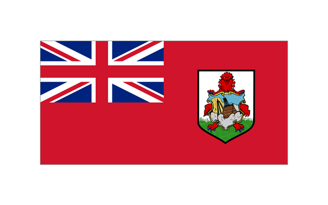
Bermuda
Canada
Greenland (Denmark)
-north-and-central-america-flags---stencils-library.png--diagram-flowchart-example.png)
Mexico
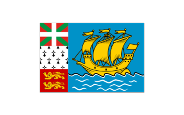
St. Pierre and Miquelon
United States
Anguilla (UK)
-north-and-central-america-flags---stencils-library.png--diagram-flowchart-example.png)
Antigua and Barbuda
Aruba (Netherlands)
-north-and-central-america-flags---stencils-library.png--diagram-flowchart-example.png)
Bahamas
Barbados
Cuba
Dominica
Dominican Republic
Grenada
Guadeloupe (France)
-north-and-central-america-flags---stencils-library.png--diagram-flowchart-example.png)
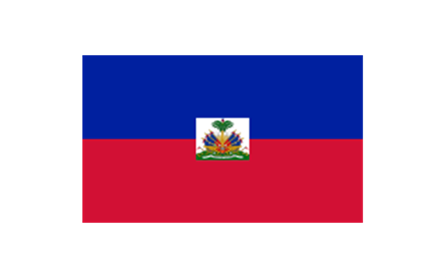
Haiti
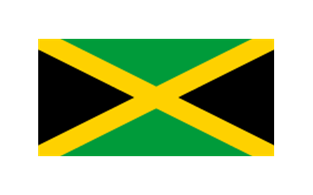
Jamaica
Martinique (France)
-north-and-central-america-flags---stencils-library.png--diagram-flowchart-example.png)
Navassa Island (US)
-north-and-central-america-flags---stencils-library.png--diagram-flowchart-example.png)
Puerto Rico (US)
-north-and-central-america-flags---stencils-library.png--diagram-flowchart-example.png)
Saint Barth??lemy (France)
-north-and-central-america-flags---stencils-library.png--diagram-flowchart-example.png)
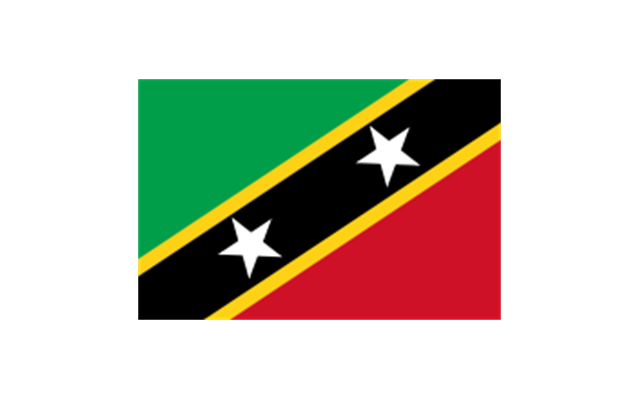
Saint Kitts and Nevis
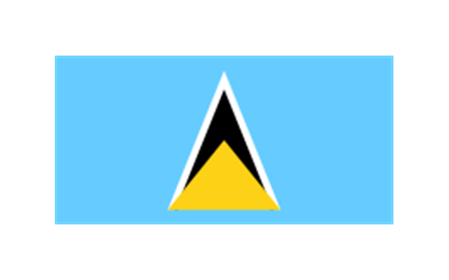
Saint Lucia
Saint Martin (France)
-north-and-central-america-flags---stencils-library.png--diagram-flowchart-example.png)
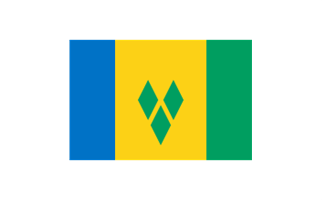
Saint Vincent and the Grenadines
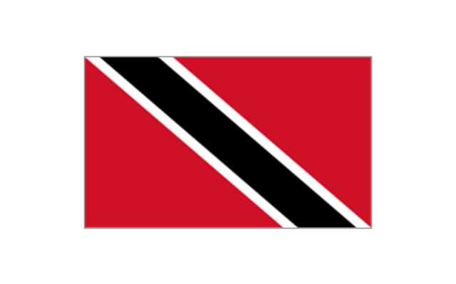
Trinidad and Tobago
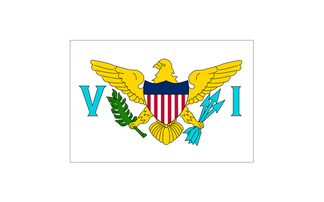
United States Virgin Islands
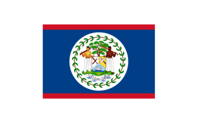
Belize
Costa Rica
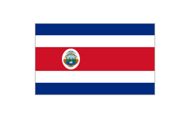
El Salvador
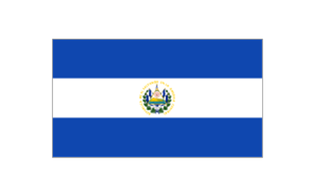
Guatemala
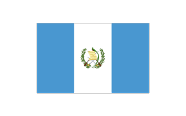
Honduras
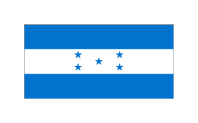
Nicaragua
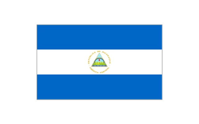
Panama
World Continents Map

7 Continents Map

The stencils library "Africa flags" contains 61 clipart images of Africa state flags.
"These are the various flags of Africa.
1. Supernational and international flags:
Flag of the African Union, Flag of the East African Community, Flag of the OPEC, Flag of the Arab League, Flag of the Organisation of the Islamic Conference, Pan-African flag (not in official use).
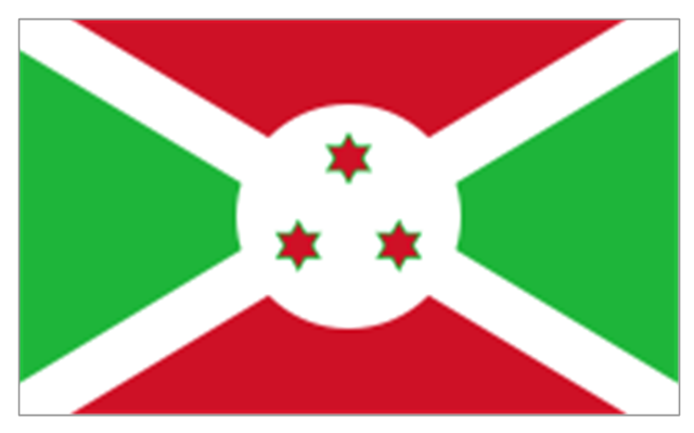
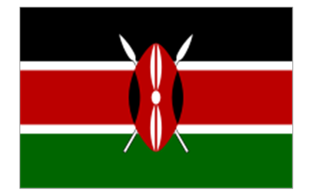
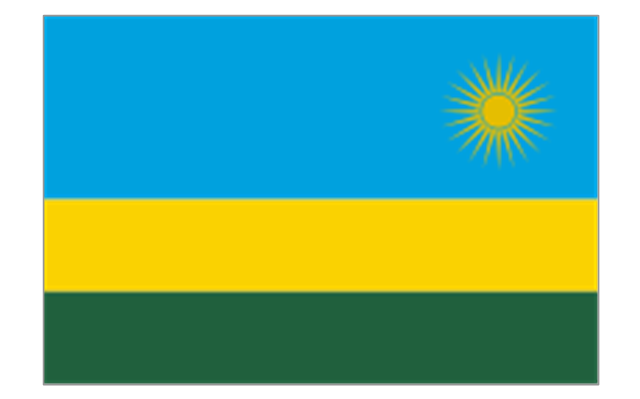
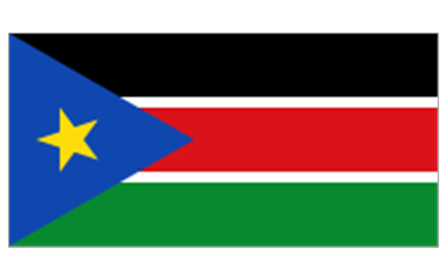
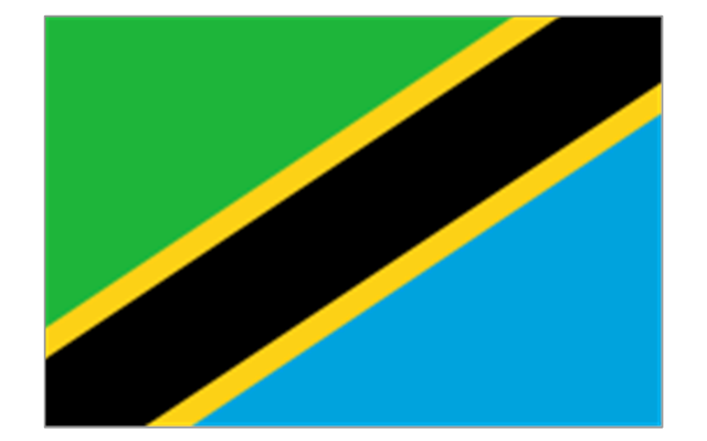
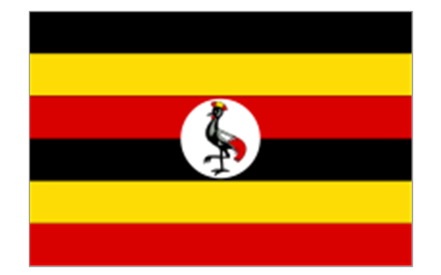
2. African Great Lakes: Flag of Burundi, Flag of Kenya, Flag of Rwanda, Flag of South Sudan, Flag of Tanzania, Flag of Uganda.
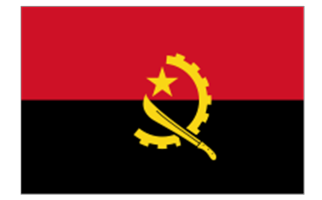
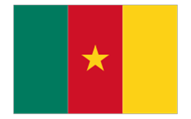
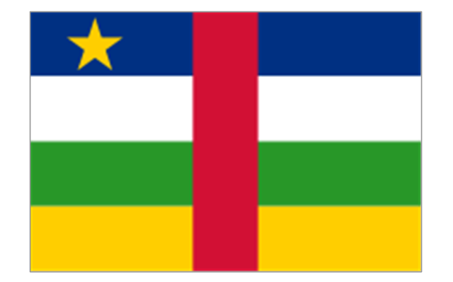
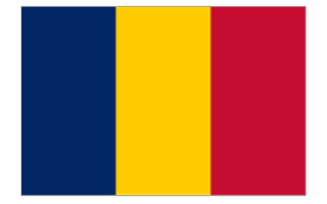
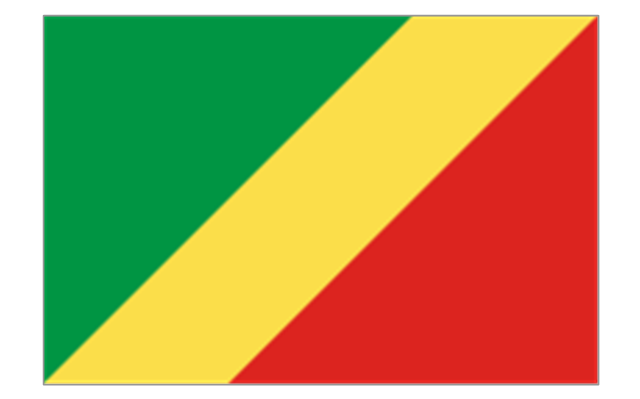
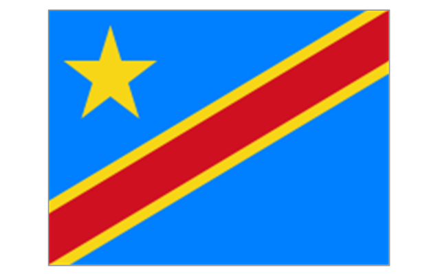
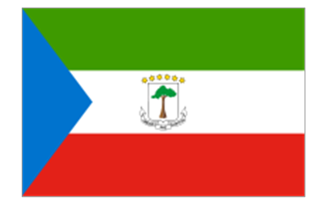
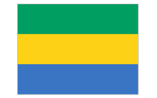
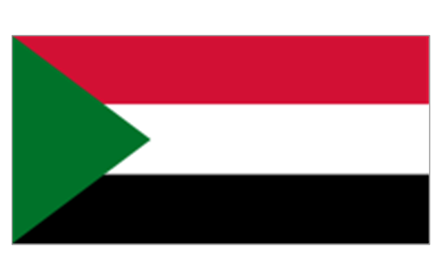
3. Central Africa: Flag of Angola, Flag of Cameroon, Flag of the Central African Republic, Flag of Chad, Flag of the Democratic Republic of the Congo, Flag of the Republic of the Congo, Flag of Equatorial Guinea, Flag of Gabon, Flag of Sao Tome and Principe, Flag of Sudan.
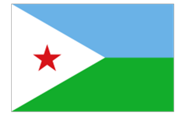
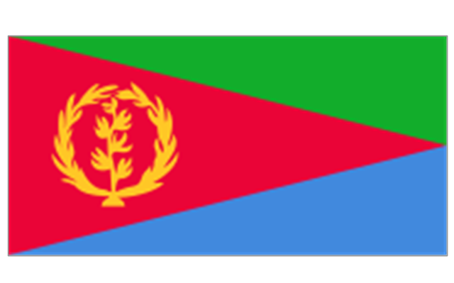
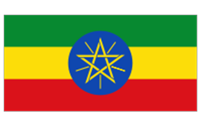
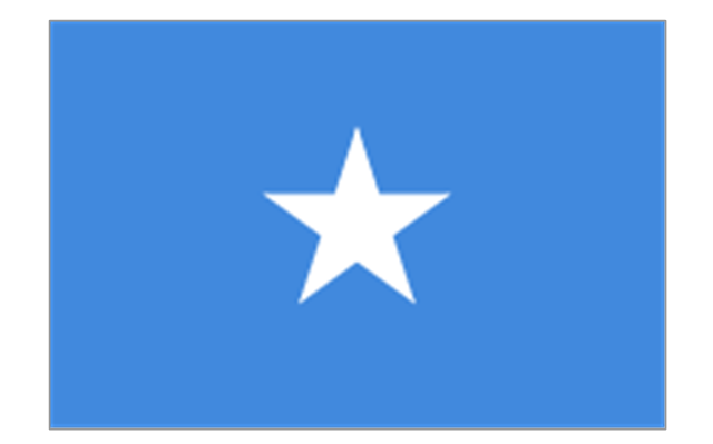
4. Horn of Africa: Flag of Djibouti, Flag of Eritrea, Flag of Ethiopia, Flag of Somalia.
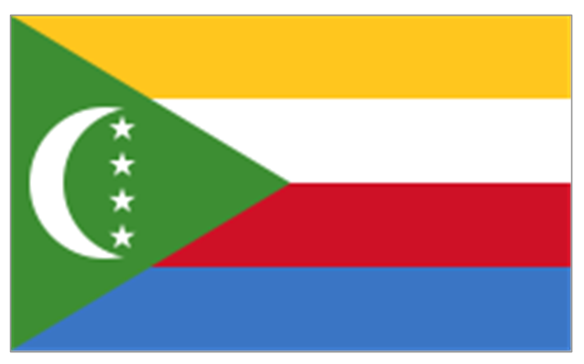
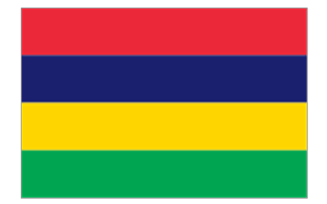
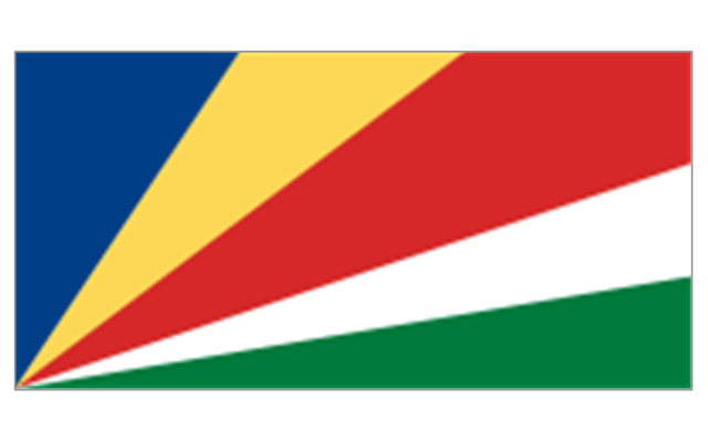
5. Indian Ocean islands: Flag of Comoros, Flag of Madagascar, Flag of Mauritius, Unofficial Flag of Mayotte (France), Flag of Reunion (France), Flag of the Seychelles.
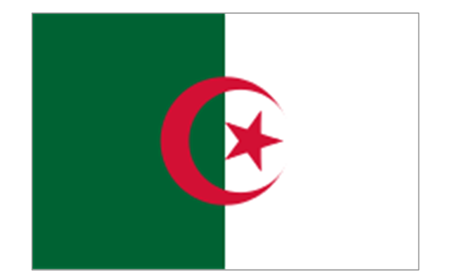
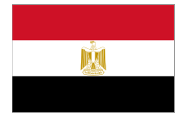
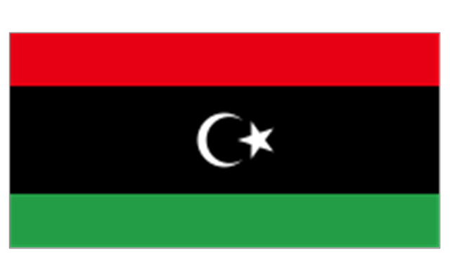
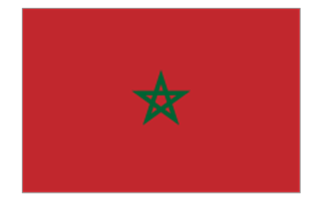
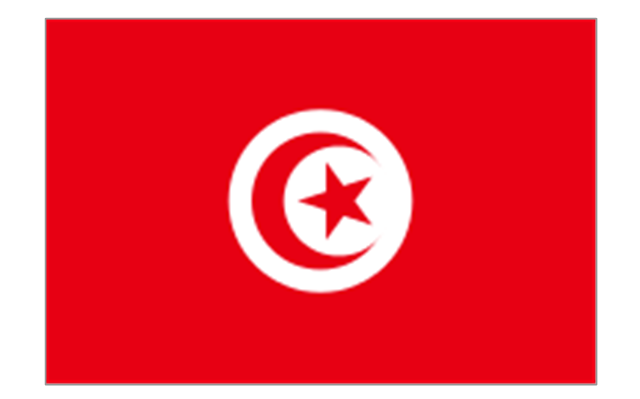
6. North Africa: Flag of Algeria, Flag of the Canary Islands (Spain), Flag of Ceuta (Spain), Flag of Egypt, Flag of Libya, Flag of Madeira (Portugal), Flag of Melilla (Spain), Flag of Morocco, Flag of Tunisia, Flag of the Sahrawi Arab Democratic Republic.
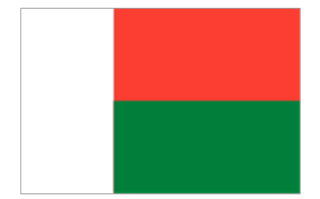
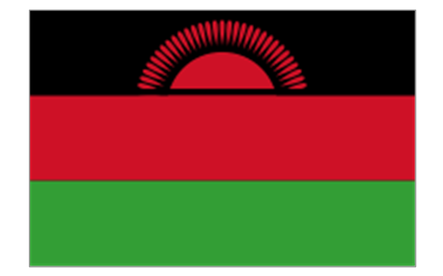
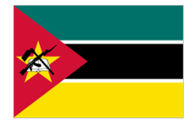
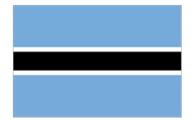
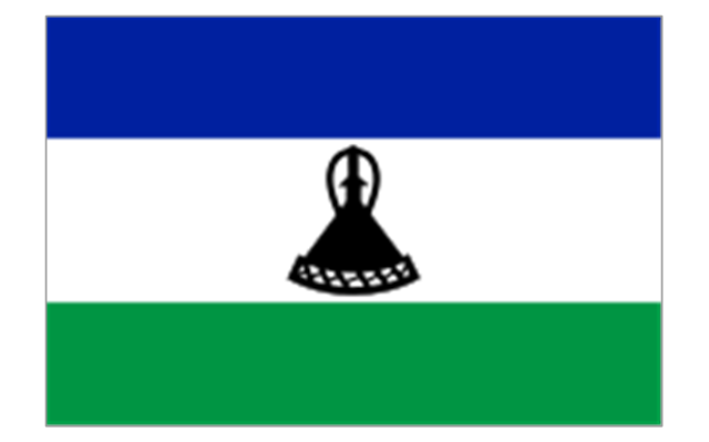
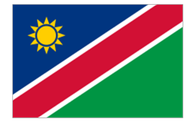
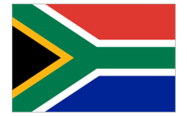
7. Southern Africa: Flag of Botswana, Flag of Lesotho, Flag of Malawi, Flag of Mozambique, Flag of Namibia, Flag of South Africa, Flag of Swaziland, Flag of Zambia, Flag of Zanzibar (Tanzania), Flag of Zimbabwe.
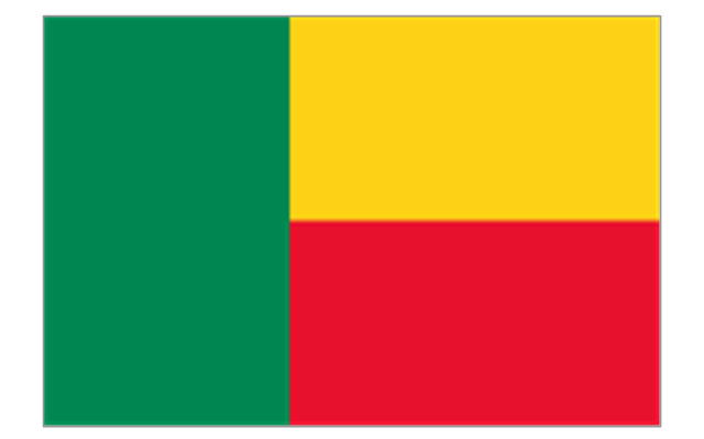
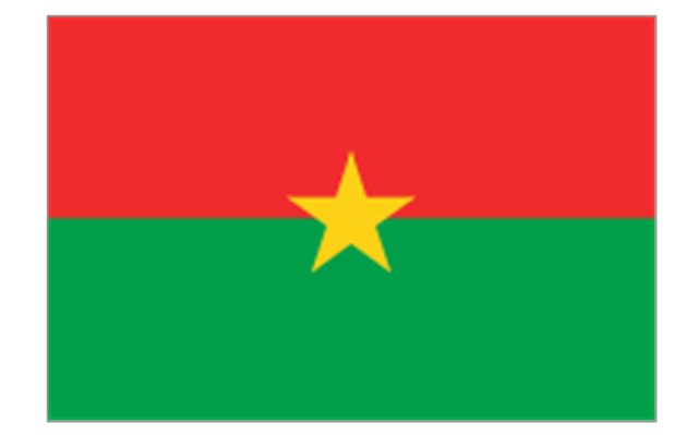
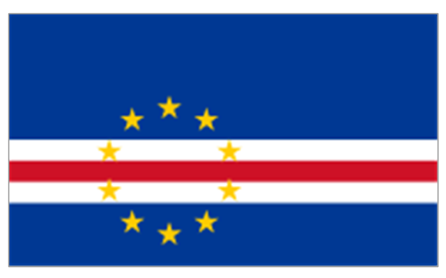
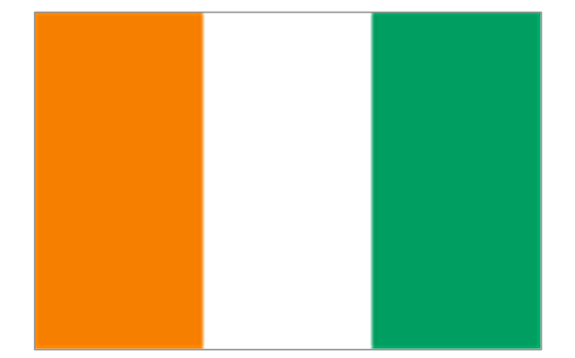
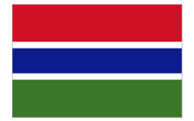
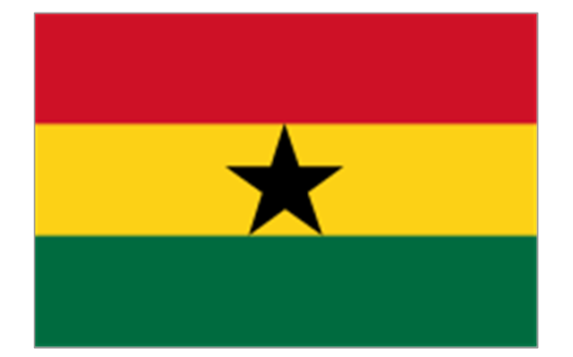
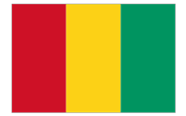
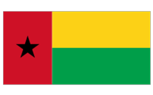
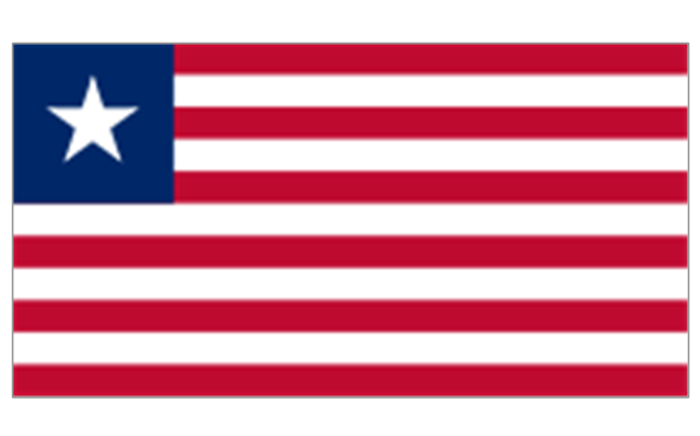
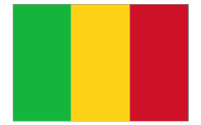
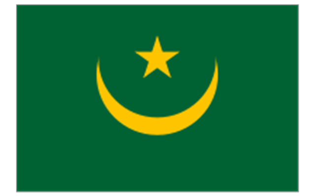
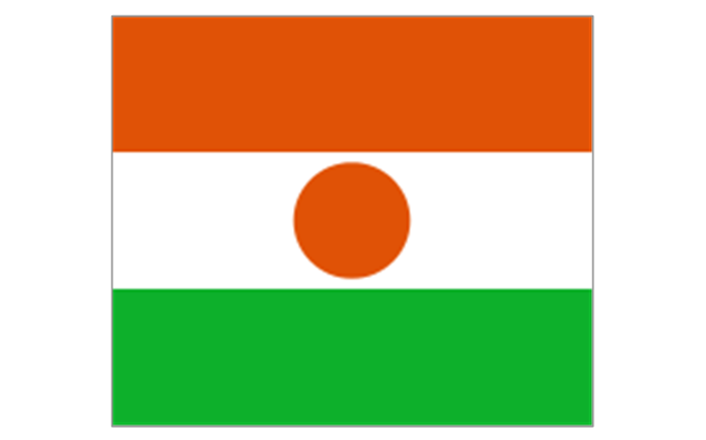
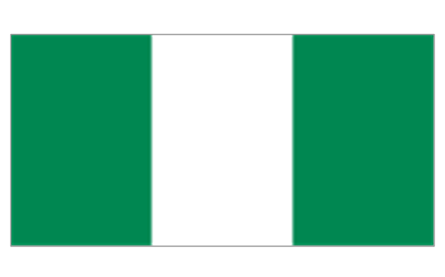
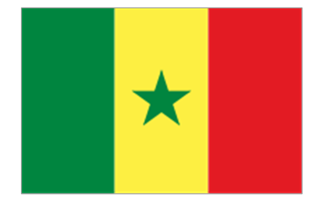
8. West Africa: Flag of Ascension Island (United Kingdom), Flag of Benin, Flag of Burkina Faso, Flag of Cape Verde, Flag of The Gambia, Flag of Ghana, Flag of Guinea, Flag of Guinea-Bissau, Flag of Ivory Coast, Flag of Liberia, Flag of Mali, Flag of Mauritania, Flag of Niger, Flag of Nigeria, Flag of Saint Helena (United Kingdom), Flag of Senegal, Flag of Sierra Leone, Flag of Togo, Flag of Tristan da Cunha (United Kingdom)." [Flags of Africa. Wikipedia]
The clip art example "Africa flags - Stencils library" was created using the ConceptDraw PRO diagramming and vector drawing software extended with the Continent Maps solution from the Maps area of ConceptDraw Solution Park.
"These are the various flags of Africa.
1. Supernational and international flags:
Flag of the African Union, Flag of the East African Community, Flag of the OPEC, Flag of the Arab League, Flag of the Organisation of the Islamic Conference, Pan-African flag (not in official use).
2. African Great Lakes: Flag of Burundi, Flag of Kenya, Flag of Rwanda, Flag of South Sudan, Flag of Tanzania, Flag of Uganda.
3. Central Africa: Flag of Angola, Flag of Cameroon, Flag of the Central African Republic, Flag of Chad, Flag of the Democratic Republic of the Congo, Flag of the Republic of the Congo, Flag of Equatorial Guinea, Flag of Gabon, Flag of Sao Tome and Principe, Flag of Sudan.
4. Horn of Africa: Flag of Djibouti, Flag of Eritrea, Flag of Ethiopia, Flag of Somalia.
5. Indian Ocean islands: Flag of Comoros, Flag of Madagascar, Flag of Mauritius, Unofficial Flag of Mayotte (France), Flag of Reunion (France), Flag of the Seychelles.
6. North Africa: Flag of Algeria, Flag of the Canary Islands (Spain), Flag of Ceuta (Spain), Flag of Egypt, Flag of Libya, Flag of Madeira (Portugal), Flag of Melilla (Spain), Flag of Morocco, Flag of Tunisia, Flag of the Sahrawi Arab Democratic Republic.
7. Southern Africa: Flag of Botswana, Flag of Lesotho, Flag of Malawi, Flag of Mozambique, Flag of Namibia, Flag of South Africa, Flag of Swaziland, Flag of Zambia, Flag of Zanzibar (Tanzania), Flag of Zimbabwe.
8. West Africa: Flag of Ascension Island (United Kingdom), Flag of Benin, Flag of Burkina Faso, Flag of Cape Verde, Flag of The Gambia, Flag of Ghana, Flag of Guinea, Flag of Guinea-Bissau, Flag of Ivory Coast, Flag of Liberia, Flag of Mali, Flag of Mauritania, Flag of Niger, Flag of Nigeria, Flag of Saint Helena (United Kingdom), Flag of Senegal, Flag of Sierra Leone, Flag of Togo, Flag of Tristan da Cunha (United Kingdom)." [Flags of Africa. Wikipedia]
The clip art example "Africa flags - Stencils library" was created using the ConceptDraw PRO diagramming and vector drawing software extended with the Continent Maps solution from the Maps area of ConceptDraw Solution Park.
Burundi
Comoros
Djibouti
Eritrea
Ethiopia
Kenya
Madagascar
Malawi
Mauritius
Mayotte (France)
-africa-flags---stencils-library.png--diagram-flowchart-example.png)
Mozambique
Réunion (France)
-africa-flags---stencils-library.png--diagram-flowchart-example.png)
Rwanda
Seychelles
Somalia
South Sudan
Tanzania
Uganda
Zambia

Angola
Cameroon
Central African Republic
Chad
Republic of the Congo
Democratic Republic of the Congo
Equatorial Guinea
Gabon
Botswana
Lesotho
Namibia
South Africa
Benin
Burkina Faso
Cape Verde
Côte d'Ivoire
Gambia
Ghana
Guinea
Guinea-Bissau
Liberia
Mali
Mauritania
Niger
Nigeria
Saint Helena (United Kingdom)
-africa-flags---stencils-library.png--diagram-flowchart-example.png)
Senegal
Sierra Leone
Algeria
Canary Islands (Spain)
-africa-flags---stencils-library.png--diagram-flowchart-example.png)
Ceuta (Spain)
-africa-flags---stencils-library.png--diagram-flowchart-example.png)
Egypt
Libya
Madeira (Portugal)
-africa-flags---stencils-library.png--diagram-flowchart-example.png)
Melilla (Spain)
-africa-flags---stencils-library.png--diagram-flowchart-example.png)
Morocco
Sudan
Tunisia
Geo Map — South America Continent

The vector stencils library "North America" contains 70 contours for drawing thematic maps of North America in spatial infographics.
Use it for visual representation of geospatial information, statistics and quantitative data in the ConceptDraw PRO diagramming and vector drawing software extended with the Spatial Infographics solution from the area "What is Infographics" of ConceptDraw Solution Park.
Use it for visual representation of geospatial information, statistics and quantitative data in the ConceptDraw PRO diagramming and vector drawing software extended with the Spatial Infographics solution from the area "What is Infographics" of ConceptDraw Solution Park.
North America

Greenland (Denmark)
-north-america---vector-stencils-library.png--diagram-flowchart-example.png)
Canada

Canada (provinces and territories)
-north-america---vector-stencils-library.png--diagram-flowchart-example.png)
Alberta

British Columbia

Manitoba

New Brunswick

Newfoundland and Labrador

Northwest Territories

Nova Scotia

Nunavut

Ontario

Prince Edward Island

Quebec

Saskatchewan

Yukon

USA

US states

Alabama

Alaska

Arizona

Arkansas

California

Colorado

Connecticut

Delaware

Florida

Georgia

Hawaii

Idaho

Illinois

Indiana

Iowa

Kansas

Kentucky

Louisiana

Maine

Maryland

Massachusetts

Michigan

Minnesota

Mississippi

Missouri

Montana

Nebraska

Nevada

New Hampshire

New Jersey

New Mexico

New York

North Carolina

North Dakota

Ohio

Oklahoma

Oregon

Pennsylvania

Rhode Island

South Carolina

South Dakota

Tennessee

Texas

Utah

Vermont

Virginia

Washington

West Virginia

Wisconsin

Wyoming

Mexico

Map of Continents

 Education Package
Education Package is a comprehensive set of multifarious graphical solutions from ConceptDraw Solution Park, collected together in help to ConceptDraw DIAGRAM users working in a field of science, education and training, which is aimed at improving the quality of education and helping to design with ease variety of interesting and colorful educational materials, diagrams, charts and maps. Use it to present the information and knowledge in an interesting, clear, structured and simple form to achieve a success in education and pedagogy, to maintain the interest of students and pupils throughout the whole learning process, at the lectures, lessons and even during independent work with additional materials, to contribute to better perception of scientific information by listeners during the conferences and reports.
Educational Technology Tools
 Australia Map
For graphic artists creating accurate maps of Australia. The Australia Map solution - allows designers to map Australia for their needs, offers a collection of scalable graphics representing the political geography of Australia, split into distinct state
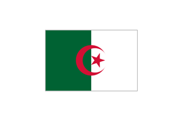
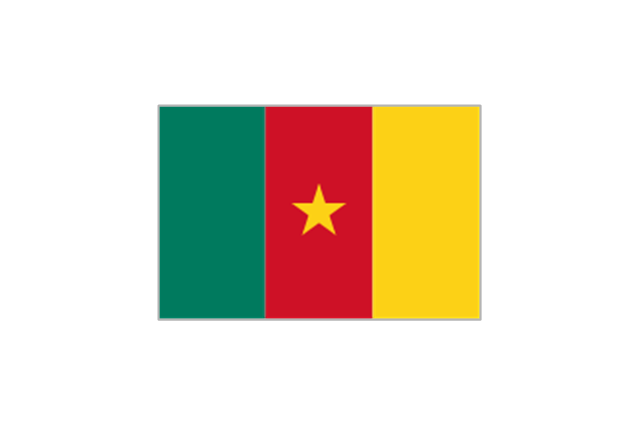
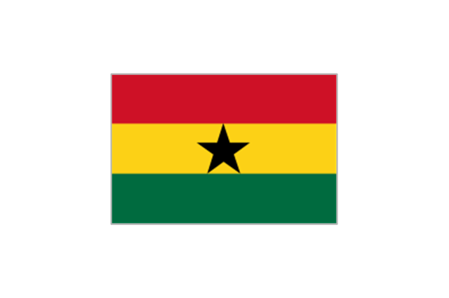
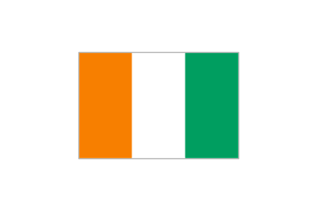
The vector stencils library "FIFA World Cup 2014 team flags" contains 32 FIFA World Cup 2014 team flags clipart.
Use these shapes to draw your FIFA World Cup infographics and illustrations in the ConceptDraw PRO diagramming and vector drawing software extended with the Soccer solution from the Sport area of ConceptDraw Solution Park.
www.conceptdraw.com/ solution-park/ sport-soccer
Use these shapes to draw your FIFA World Cup infographics and illustrations in the ConceptDraw PRO diagramming and vector drawing software extended with the Soccer solution from the Sport area of ConceptDraw Solution Park.
www.conceptdraw.com/ solution-park/ sport-soccer
Australia
Iran
Japan
South Korea
Algeria
Cameroon
Ghana
Ivory Coast
Nigeria
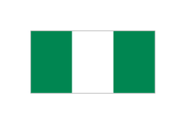
Costa Rica
Honduras
Mexico
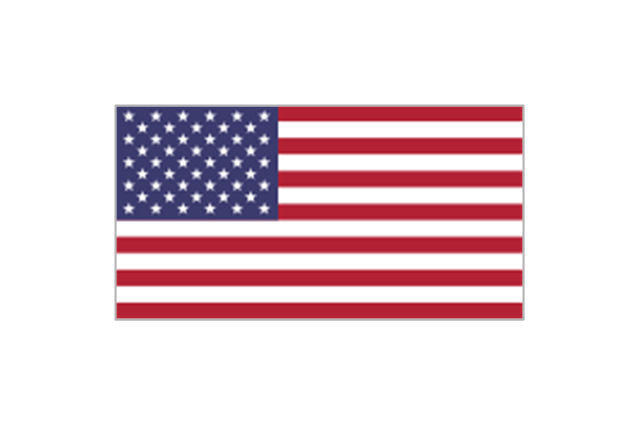
United States
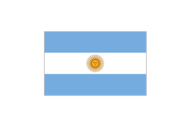
Argentina
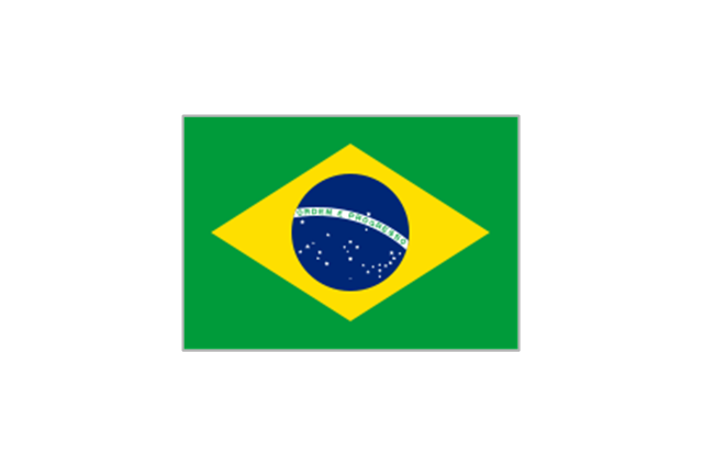
Brazil
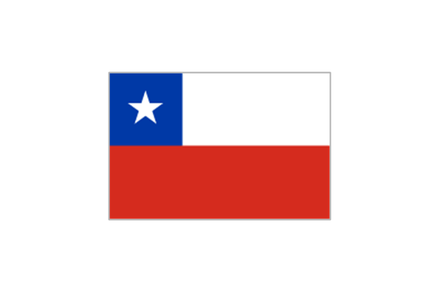
Chile
Colombia
Ecuador
Uruguay
Belgium
Bosnia and Herzegovina
Croatia
England
France
Germany
Greece

Italy
Netherlands
Portugal
Russia
Spain
Switzerland

 Target and Circular Diagrams
This solution extends ConceptDraw DIAGRAM software with samples, templates and library of design elements for drawing the Target and Circular Diagrams.
- United Kingdom Flag USA Flag Nepal Flag China Flag Switzerland
- National Flag Of Usa Uk India Pakistan Japan Australia Bangladesh
- Map of USA | North and Central America flags - Stencils library ...
- Geo Map - South America - Mexico | Geo Map - USA - Mexico | North ...
- Flags Of India Usa China Japan France Pakistan Srilanka
- USA Maps | European country flags - Vector stencils library | Star ...
- Football (Soccer) - Vector stencils library | USA Maps | Sports T ...
- Flags - Stencils library | Usa Russia Uk France China Germany ...
- North and Central America flags - Stencils library | Design elements ...
- Geo Map - USA - Washington
- Design elements - North and Central America country flags | North ...
- Flag In Civil Drawing
- Continents Map | Map of Continents | 7 Continents Map | Flag Of All ...
- Mexico Flag
- North America Continent Flag
- Geo Map - United States of America Map | North and Central ...
- Central America Flag Map
- Geo Map - Asia - Philippines | Geo Map - United States of America ...
- American Flag
- Australia National Flag