Geo Map - Europe

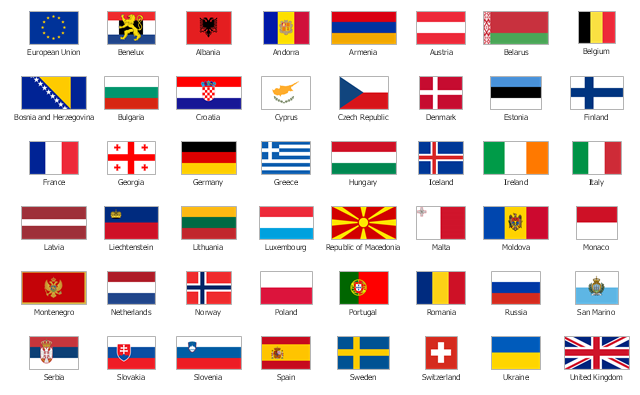
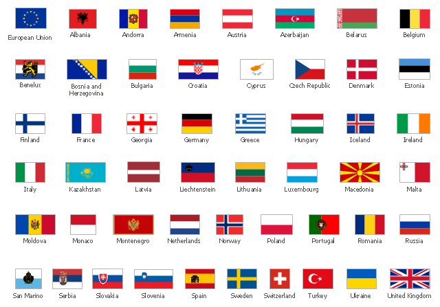
The vector stencils library "Europe flags" contains 51 state flags of European countries.
The clip art example "Design elements - Europe flags" was created using the ConceptDraw PRO diagramming and vector drawing software extended with the Continent Maps solution from the Maps area of ConceptDraw Solution Park.
The clip art example "Design elements - Europe flags" was created using the ConceptDraw PRO diagramming and vector drawing software extended with the Continent Maps solution from the Maps area of ConceptDraw Solution Park.
Europe state flags
Geo Map - Europe - Serbia

The stencils library "Europe flags" contains 51 clipart images of Europe state flags: supranational and international flags, flags of European countries.
The clip art example "Europe flags - Stencils library" was created using the ConceptDraw PRO diagramming and vector drawing software extended with the Continent Maps solution from the Maps area of ConceptDraw Solution Park.
www.conceptdraw.com/ solution-park/ maps-continent
The clip art example "Europe flags - Stencils library" was created using the ConceptDraw PRO diagramming and vector drawing software extended with the Continent Maps solution from the Maps area of ConceptDraw Solution Park.
www.conceptdraw.com/ solution-park/ maps-continent
European Union

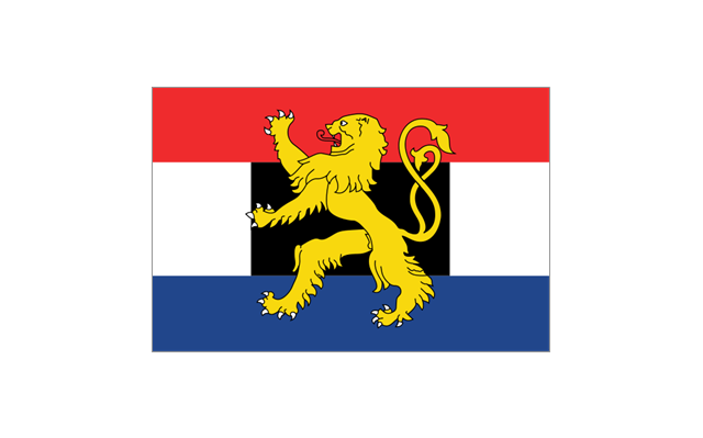
Benelux
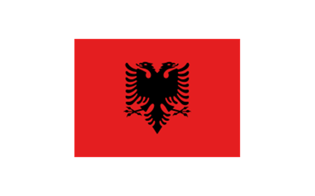
Albania
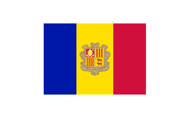
Andorra
Armenia

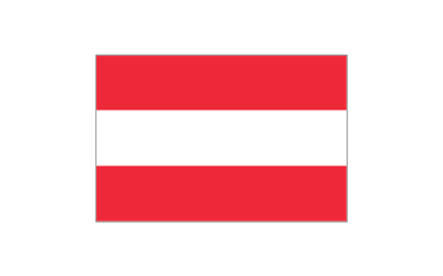
Austria
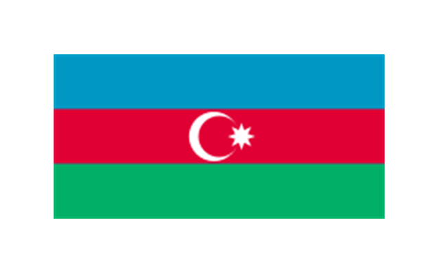
Azerbaijan
Belarus

Belgium

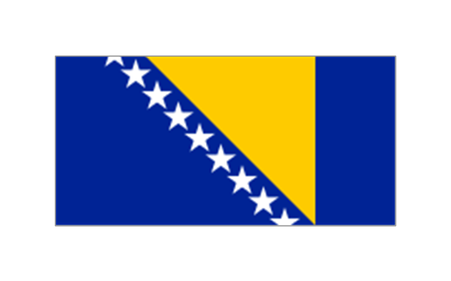
Bosnia and Herzegovina
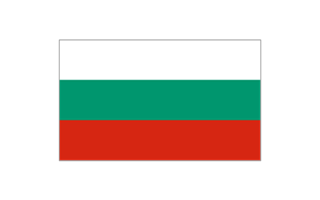
Bulgaria
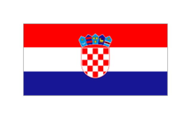
Croatia
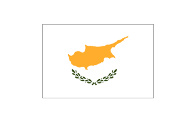
Cyprus
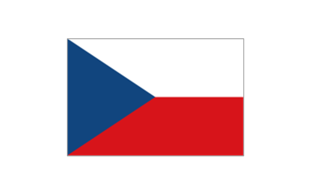
Czech Republic
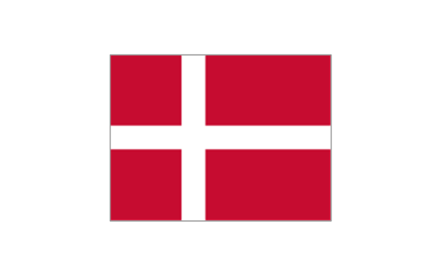
Denmark
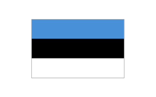
Estonia
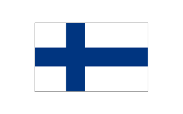
Finland
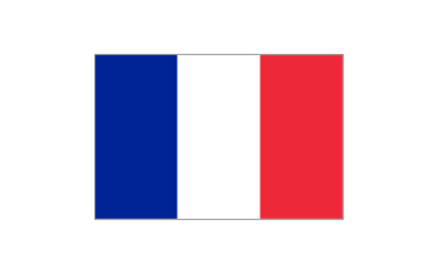
France
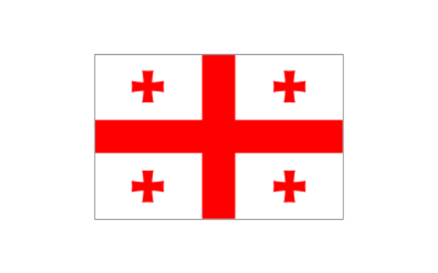
Georgia
Germany

Greece

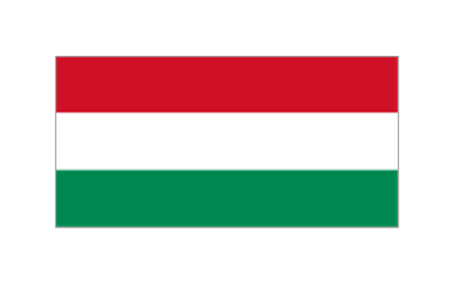
Hungary
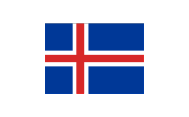
Iceland
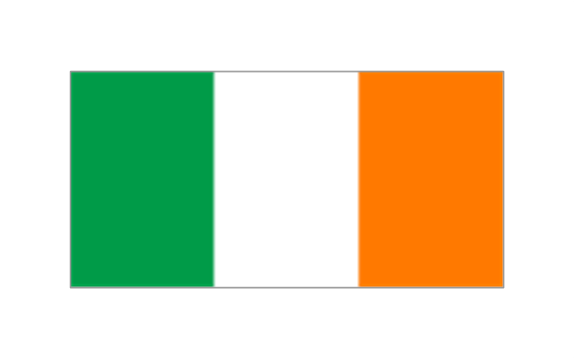
Ireland
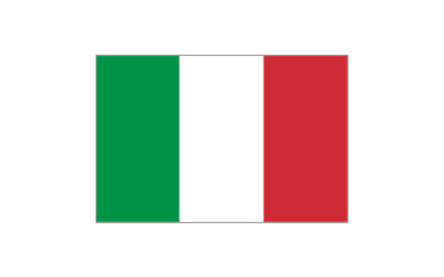
Italy
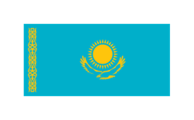
Kazakhstan
Latvia

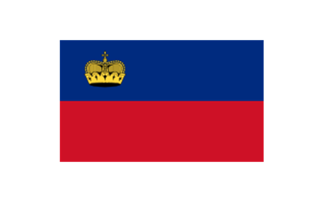
Liechtenstein
Lithuania

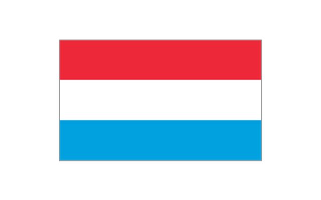
Luxembourg
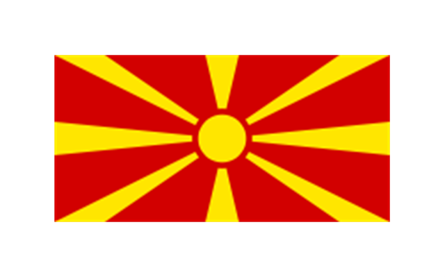
Republic of Macedonia
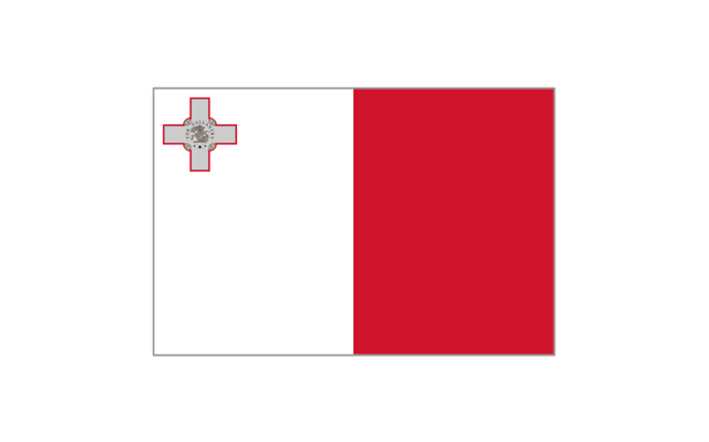
Malta
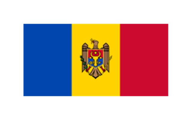
Moldova
Monaco
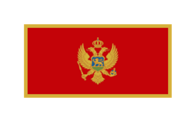
Montenegro
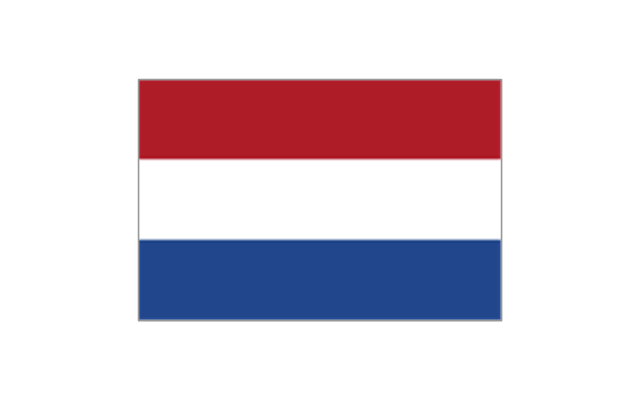
Netherlands
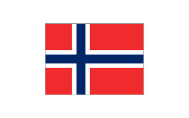
Norway
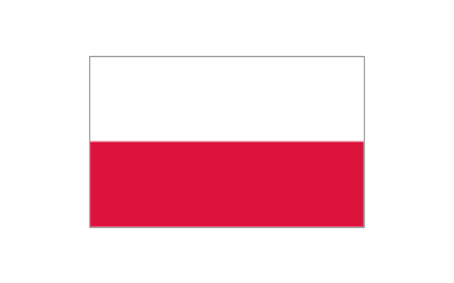
Poland
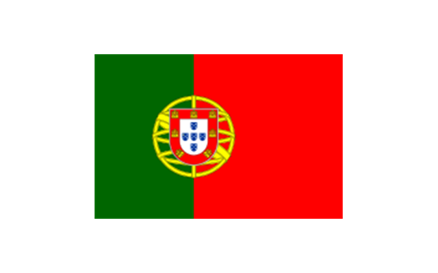
Portugal
Romania

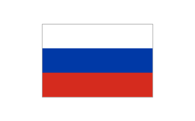
Russia
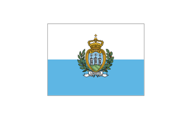
San Marino
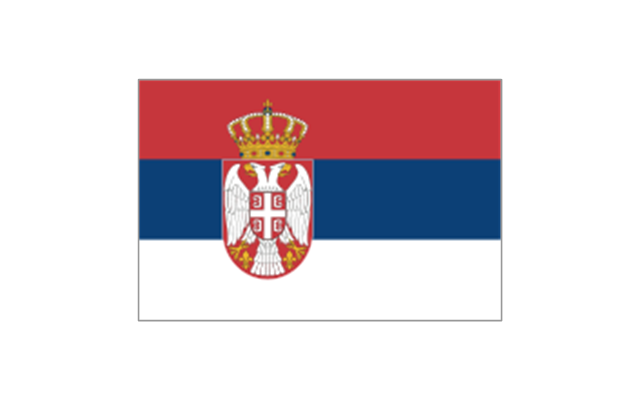
Serbia
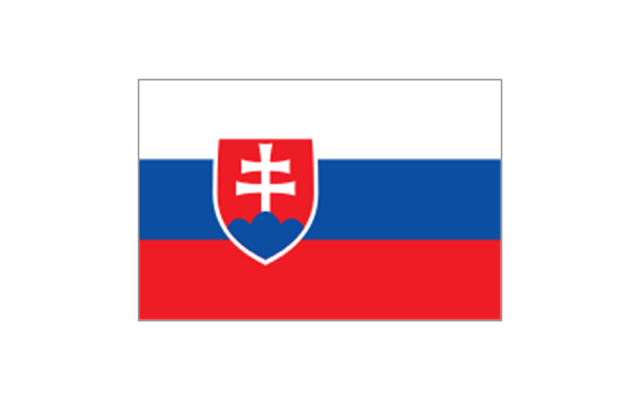
Slovakia
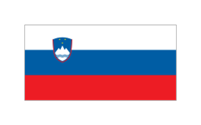
Slovenia
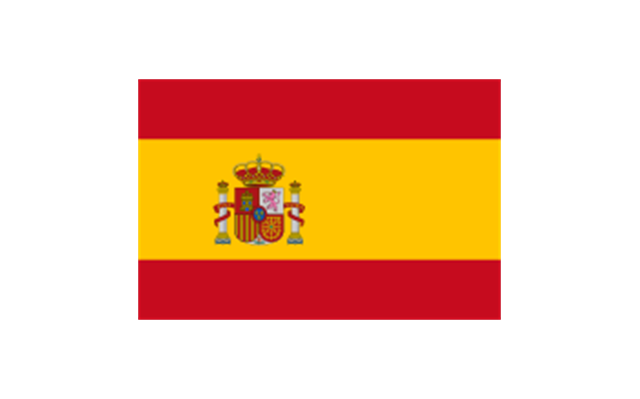
Spain
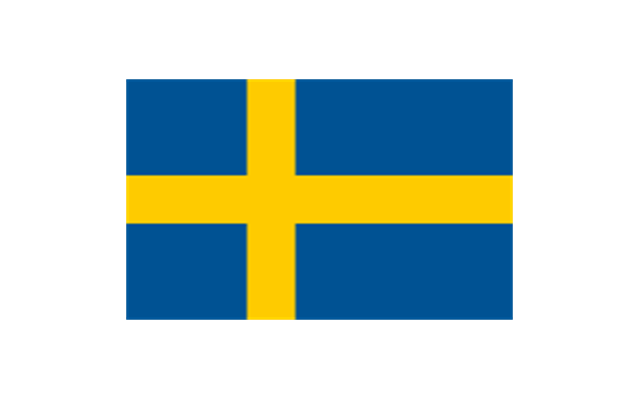
Sweden
Switzerland

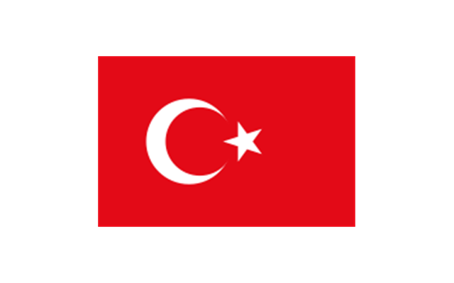
Turkey
Ukraine

United Kingdom
Geo Map - Europe - Austria

Geo Map - Europe - France

Geo Map - Europe - Germany

Geo Map - Europe - Spain

Geo Map - Europe - Greece

Continents Map

Map of Continents

The vector stencils library "European country flags" contains 51 European state flags clipart.
Use it to illustrate your business documents, presentation slides, webpages, infographics.
The clip art example "Design elements - European country flags" was created using the ConceptDraw PRO diagramming and vector drawing software extended with the Artwork solution from the Illustration area of ConceptDraw Solution Park.
Europe state flags clip art
 Continent Maps
Continent Maps solution extends ConceptDraw PRO software with templates, samples and libraries of vector stencils for drawing the thematic maps of continents, state maps of USA and Australia.
"Alphabetical list of subregions in the United Nations geoscheme for Europe.
Eastern Europe: Belarus, Bulgaria, Czech Republic, Hungary, Moldova, Poland, Romania, Russia, Slovakia, Ukraine.
Northern Europe: Åland Islands, Denmark, Estonia, Faroe Islands, Finland, Guernsey, Iceland, Ireland, Isle of Man, Jersey, Latvia, Lithuania, Norway, Svalbard and Jan Mayen, Sweden, United Kingdom.
Southern Europe: Albania, Andorra, Bosnia and Herzegovina, Croatia, Gibraltar, Greece, Italy, Malta, Montenegro, Portugal, Macedonia, San Marino, Serbia, Slovenia, Spain, Vatican City.
Western Europe: Austria, Belgium, France, Germany, Liechtenstein, Luxembourg, Monaco, Netherlands, Switzerland." [United Nations geoscheme for Europe. Wikipedia]
The example "Political map of Europe" illustrated with European state flags was created using the ConceptDraw PRO diagramming and vector drawing software extended with the Continent Maps solution from the Maps area of ConceptDraw Solution Park.
Political map - Europe

Geo Map - Africa

- Europe Flag Png
- European Flags Png
- Flag European Country Png
- Flags Of The Europe With Names Icons And Map
- Geo Map - Europe - Serbia | Map Of The Territory Of Balkans Png
- Design elements - Europe flags | Design elements - European ...
- Design elements - Europe flags | Continent Maps | Geo Map ...
- Design elements - Europe flags | Geo Map - Europe - Austria | Geo ...
- European country flags - Vector stencils library | Design elements ...
- European country flags - Vector stencils library | Flags - Stencils ...
- Flags - Stencils library | European country flags - Vector stencils ...
- Europe flags - Stencils library | Political map of Europe | Map ...
- Design elements - Europe flags
- North and Central America flags - Stencils library | Design elements ...
- Design elements - Europe | Design elements - Europe flags | Design ...
- Carte De C Te Divoire Png
- Geo Map - Europe - Poland | European country flags - Vector ...
- Flags - Stencils library | Political map of Europe | Design elements ...
- Europe flags - Stencils library
- Geo Map - Europe - Sweden | Europe flags - Stencils library | Geo ...