Geo Map - Asia - Bangladesh

Geo Map - Asia - India

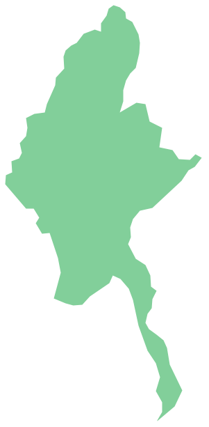
Geo Map - Asia - Myanmar
Geo Map — Asia — Vietnam

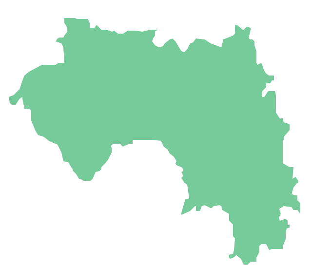
Geo Map - Africa - Guinea
Emergency Plan


Geo Mapping Software Examples - World Map Outline

Geo Map — Asia — Indonesia

The vector stencils library "Asia" contains 47 country contours for drawing thematic maps of Asia.
Use it in your spatial infographics for visual representation of geospatial information, statistics and quantitative data in the ConceptDraw PRO diagramming and vector drawing software extended with the Spatial Infographics solution from the area "What is Infographics" of ConceptDraw Solution Park.
Use it in your spatial infographics for visual representation of geospatial information, statistics and quantitative data in the ConceptDraw PRO diagramming and vector drawing software extended with the Spatial Infographics solution from the area "What is Infographics" of ConceptDraw Solution Park.
Asia

Afghanistan

Armenia

Azerbaijan

Bahrain

Bangladesh

Bhutan

Brunei

Burma (Myanmar)
-asia---vector-stencils-library.png--diagram-flowchart-example.png)
Cambodia

China

Cyprus

Georgia

India

Indonesia

Iran

Iraq

Israel

Japan

Jordan

Kuwait

Kazakhstan

Kyrgyzstan

Laos

Lebanon

Malaysia

Mongolia

Nepal

North Korea

Oman

Pakistan

Papua New Guinea

Philippines

Qatar

Saudi Arabia

Singapore

South Korea

Sri Lanka

Syria

Tajikistan

Thailand

Turkey

Turkmenistan

United Arab Emirates

Uzbekistan

Vietnam

Yemen

The vector stencils library "Asia" contains 57 Asian state map contours for drawing thematic and political maps of Asia. Use it for visual representation of geospatial information, statistics and quantitative data.
"Asia is the Earth's largest and most populous continent, located primarily in the eastern and northern hemispheres. ... Countries: 49 (and 5 disputed)." [Asia. Wikipedia]
The state map contours example "Asia - Vector stencils library" was created using the ConceptDraw PRO diagramming and vector drawing software extended with the Continent Maps solution from the Maps area of ConceptDraw Solution Park.
Asia

Central Asia

South Asia

East Asia

Southeast Asia

Afghanistan

Armenia

Azerbaijan

Bahrain

Bangladesh

Bhutan

Brunei

Burma (Myanmar)
-asia---vector-stencils-library.png--diagram-flowchart-example.png)
Cambodia

China

Cyprus

Georgia

India

Indonesia

Iran

Iraq

Israel

Japan

Jordan

Kazakhstan

Kuwait

Kyrgyzstan

Laos

Lebanon

Malaysia

Maldives

Mongolia

Nepal

North Korea

Oman

Pakistan

Papua New Guinea

Philippines

Qatar

Russia (Asia)
-asia---vector-stencils-library.png--diagram-flowchart-example.png)
Saudi Arabia

Singapore

South Korea

Sri Lanka

Syria

Taiwan

Tajikistan

Thailand

Turkey

Turkmenistan

United Arab Emirates

Uzbekistan

Vietnam

Yemen

Aral Sea

Caspian Sea

Lake Balkhash

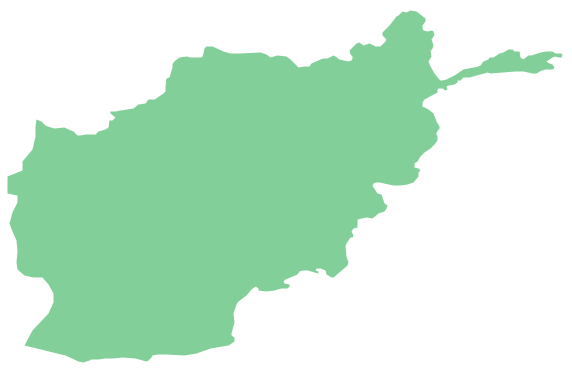
Geo Map - Asia - Afghanistan
Geo Map - Asia - Singapore

Geo Map - Asia - Mongolia

Geo Map - Asia - Bhutan

Geo Map - Asia - Japan

- Easy Way To Draw Bangladesh Map
- Way Of Drawing Map Of Bangladesh
- How To Draw Easily Map Of Bangladesh
- How To Draw Afghanistan Map
- Indian Map Easy Outline
- Easiest Way To Draw Philippine Map
- Myanmar Map Easy Drawing
- Map Of India To Draw
- Myanmar Map Basic Drawing
- Philippine Map Easy Drawing
- Www Myanmar Map Drawing Com
- Easy To Draw Map Of Europe
- Pakistan Map Easy To Draw
- How To Draw Thailand Map
- Map Of The Philippines Easy Drawing
- How To Draw Asia Outline Map Easy
- How To Draw India Map
- Philippines Map Drawing Easy
- Philippine Map Drawing Easy