Map Software
Create maps, flags, and more with ConceptDrawBeautiful Nature Scene: Drawing
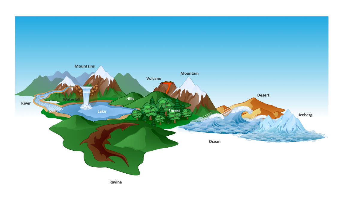
The Nature Solution addition to ConceptDraw Solution Park for ConceptDraw PRO includes new libraries that provide a wide range nature objects and it can be used to augment documentation and graphics. Draw beautiful nature scenes using ConceptDraw PRO software with Nature solution.Beauty in nature Illustrations and Clipart
Nature solution expands our software possibilities to create beautiful illustrations and cliparts with the new library which contains 17 vector objects.Drawing Illustration
The Nature Solution addition to ConceptDraw Solution Park for ConceptDraw PRO includes new libraries that provide a wide range nature objects and it can be used in many areas.Drawing a Nature Scene
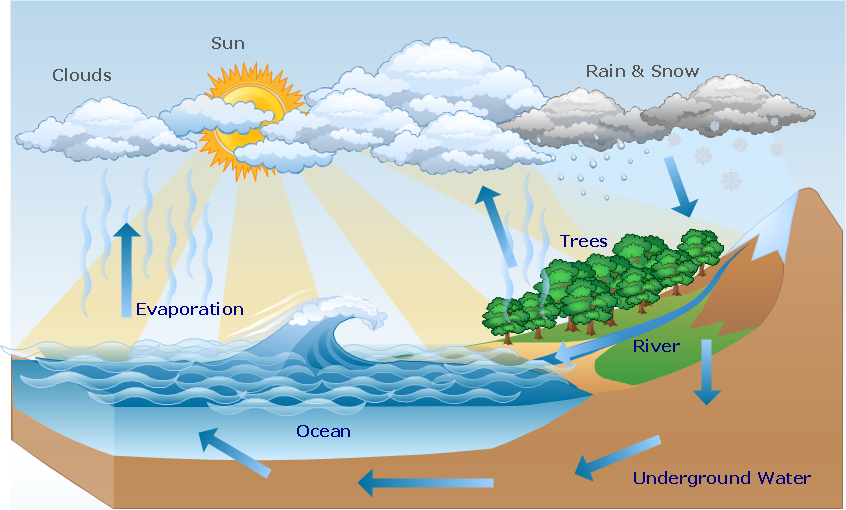
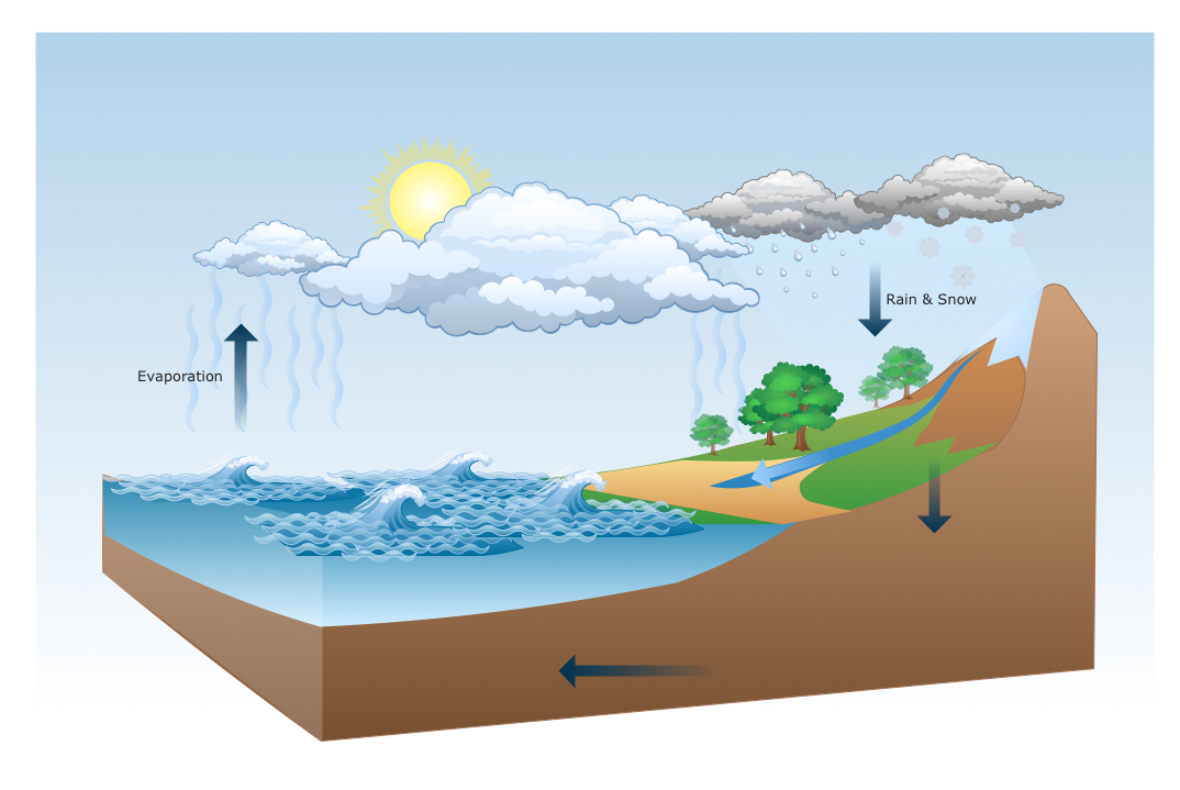
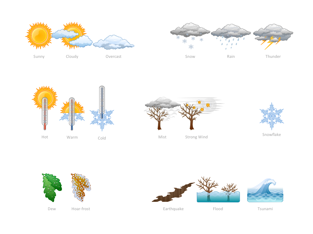
ConceptDraw PRO is a drawings software for creating Nature scenes. Nature solution from ConceptDraw Solution Park expands this software with a new library that contains 17 vector objects and samples illustration files.How can you illustrate the weather condition
Use it to make professional looking documents, presentations, and websites illustrated with color scalable vector clipart for geography, weather, and animals.Post and Mail - Design Elements
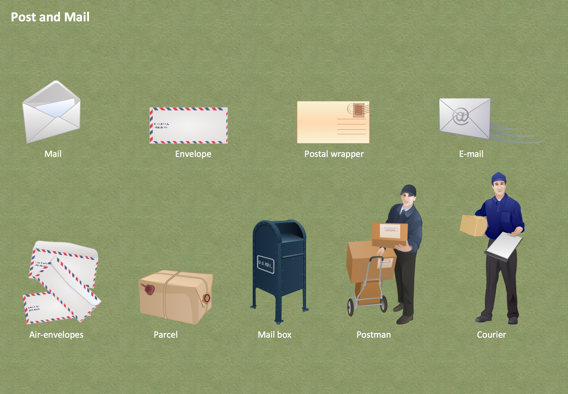
Deliver your message with ConceptDraw Post Mail Design Elements. Samples, templates and libraries contain vector clip art for drawing the Post and Mail Illustrations. Choose your graphic Mail illustration among Envelope, Postal wrapper, Air-envelopes, Parcel, Mail box, Postman, Courier, E-mail.
 Nature
This solution extends ConceptDraw PRO software with samples, templates and libraries of vector clipart for drawing the Nature illustrations. Use it to make professional-looking documents, presentations and websites illustrated with color scalable vector c
Geo Map - Africa
Africa has 54 fully recognized sovereign states, 9 territories and two de facto independent states with limited or no recognition. Vector design elements library Africa contains country map contours, geographical maps, cartograms and thematic maps for ConceptDraw PRO diagramming and vector drawing software. To help visualize the business and thematic information connected with geographic areas, locations or customs. All ConceptDraw PRO documents are vector graphic files and are available for reviewing, modifying, and converting to a variety of formats: image, HTML, PDF file, MS PowerPoint Presentation, Adobe Flash, MS Visio (.VDX, .VSDX).Basic Diagramming
Perfect charts and graphics diagramming software with rich examples and template. ConceptDraw is ideal to draw Charts and Graphics.
Aerospace - Design Elements
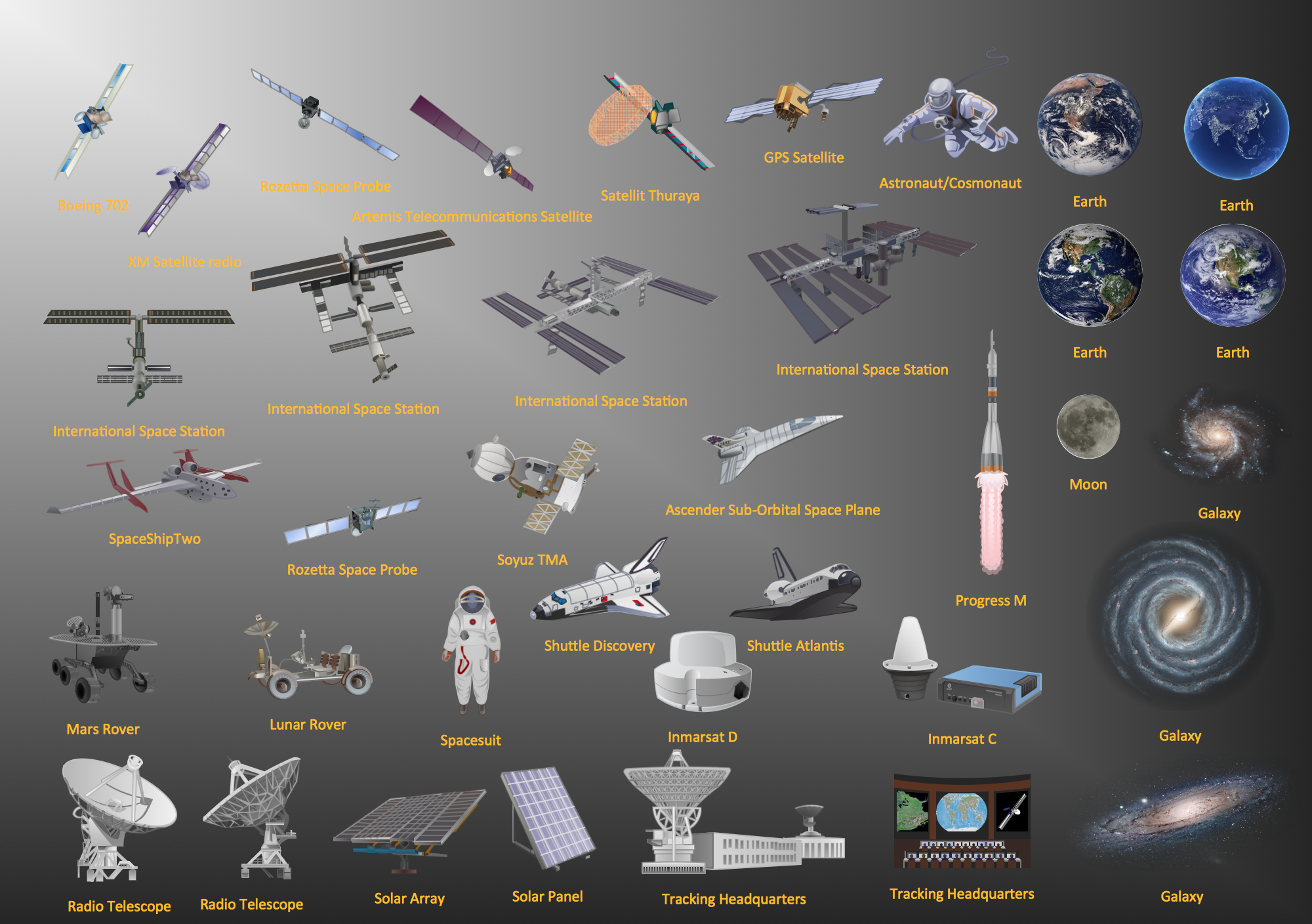
Samples, templates and libraries contain vector clip art for drawing the Aerospace Illustrations.Network Topology Illustration
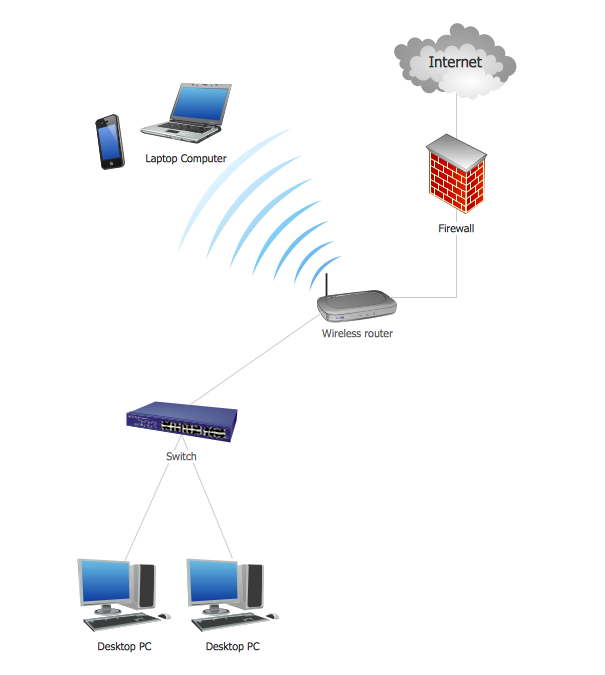
ConceptDraw PRO is the best software for illustration the network topologies. It's very easy and quickly to design the network topology diagrams of any kinds and complexity in ConceptDraw PRO diagramming and vector drawing software using the Computer and Networks solution from Computer and Networks area of ConceptDraw Solution Park.
 USA Maps
Use the USA Maps solution to create a map of USA, a US interstate map, printable US maps, US maps with cities and US maps with capitals. Create a complete USA states map.
 Australia Map
For graphic artists creating accurate maps of Australia. The Australia Map solution - allows designers to map Australia for their needs, offers a collection of scalable graphics representing the political geography of Australia, split into distinct state
- How To Draw A Easy Geography Picture
- Design elements - Geography | Geography - Vector stencils library ...
- Drawing Illustration | How to Draw a Natural Landscape | Nature ...
- Drawing Picture Nature Seen
- Geography - Vector stencils library | How to Draw a Natural ...
- Beauty in nature Illustrations and Clipart | Biology Drawing Software ...
- Geography - Vector stencils library | ConceptDraw Solution Park ...
- Biochemical Cycle Hd Pics Download
- Geography
- Ocean Png Images
- Geography - Vector stencils library | Wheelchair curling - Winter ...
- Design elements - Map of US Mountain | Geography - Vector ...
- Geography - Vector stencils library | Geography - Vector stencils ...
- Download Hd Image Of Kreb Cycle
- Ski lift in the snow capped mountains | Geography - Vector stencils ...
- Earth Nature Drawing
- Geography - Vector stencils library | Water cycle diagram | Watercraft ...
- Pictures of Graphs | Line Graph | Population growth by continent ...
- Geography - Vector stencils library | Telecommunication networks ...
- Picture Graph | Population growth by continent | Growth-Share ...

