The vector stencils library "Geography" contains 14 clipart images of natural landscapes and water features for drawing illustrations.
"A natural landscape is a landscape that is unaffected by human activity. A natural landscape is intact when all living and nonliving elements are free to move and change. The nonliving elements distinguish a natural landscape from a wilderness. A wilderness includes areas within which natural processes operate without human interference, but a wilderness must contain life. As implied, a natural landscape may contain either the living or nonliving or both." [Natural landscape. Wikipedia]
The clip art example "Geography - Vector stencils library" was created using the ConceptDraw PRO diagramming and vector drawing software extended with the Nature solution from the Illustration area of ConceptDraw Solution Park.
www.conceptdraw.com/ solution-park/ illustrations-nature
Ocean

Forest

River

Lake

Waterfall

Mountains

Mountain

Ravine

Volcano

Desert

Hills

Iceberg

Conifer tree

Tree

Geo Map - Asia - Japan

The vector clipart library Geography contains 14 images of geographical features: ocean, forest, river, lake, waterfall, mountains, ravine, volcano, desert, hills, iceberg, trees.
Use the design elements library Geography to draw illustrations with landform images using the ConceptDraw PRO diagramming and vector drawing software.
"A landform in the earth sciences comprises a geomorphological unit, and is largely defined by its surface form and location in the landscape. As part of the terrain a landform is an element of topography. Landform elements also include land such as hills, mountains, plateaus,canyons,valleys, seascape and oceanic waterbody interface features such as bays, peninsulas, seas and so forth, including sub-aqueous terrain features such as mid-ocean ridges, volcanoes,and the great ocean basins." [Landform. Wikipedia]
This landscape illustration example is included in the Nature solution from the Illustration area of ConceptDraw Solution Park.
Vector illustration

The vector stencils library "Geography" contains 14 clipart images of natural landscapes and water features for drawing illustrations.
"A natural landscape is a landscape that is unaffected by human activity. A natural landscape is intact when all living and nonliving elements are free to move and change. The nonliving elements distinguish a natural landscape from a wilderness. A wilderness includes areas within which natural processes operate without human interference, but a wilderness must contain life. As implied, a natural landscape may contain either the living or nonliving or both." [Natural landscape. Wikipedia]
The clip art example "Geography - Vector stencils library" was created using the ConceptDraw PRO diagramming and vector drawing software extended with the Nature solution from the Illustration area of ConceptDraw Solution Park.
www.conceptdraw.com/ solution-park/ illustrations-nature
"A natural landscape is a landscape that is unaffected by human activity. A natural landscape is intact when all living and nonliving elements are free to move and change. The nonliving elements distinguish a natural landscape from a wilderness. A wilderness includes areas within which natural processes operate without human interference, but a wilderness must contain life. As implied, a natural landscape may contain either the living or nonliving or both." [Natural landscape. Wikipedia]
The clip art example "Geography - Vector stencils library" was created using the ConceptDraw PRO diagramming and vector drawing software extended with the Nature solution from the Illustration area of ConceptDraw Solution Park.
www.conceptdraw.com/ solution-park/ illustrations-nature
Ocean
Forest
River
Lake
Waterfall
Mountains
Mountain
Ravine
Volcano
Desert
Hills
Iceberg
Conifer tree
Tree
Geo Map — USA — Colorado

Geo Map - Asia - Iraq

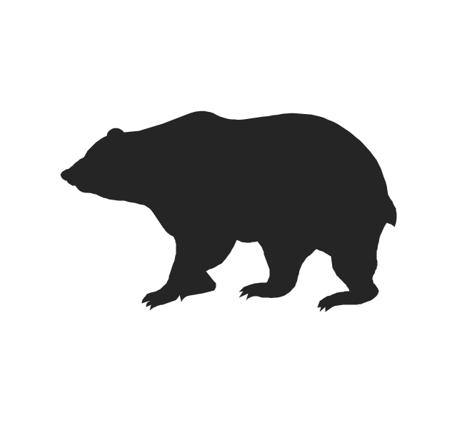
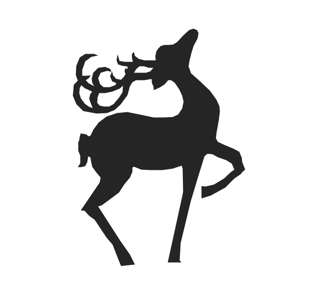
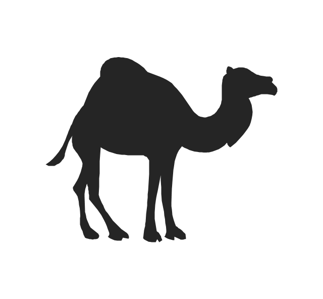
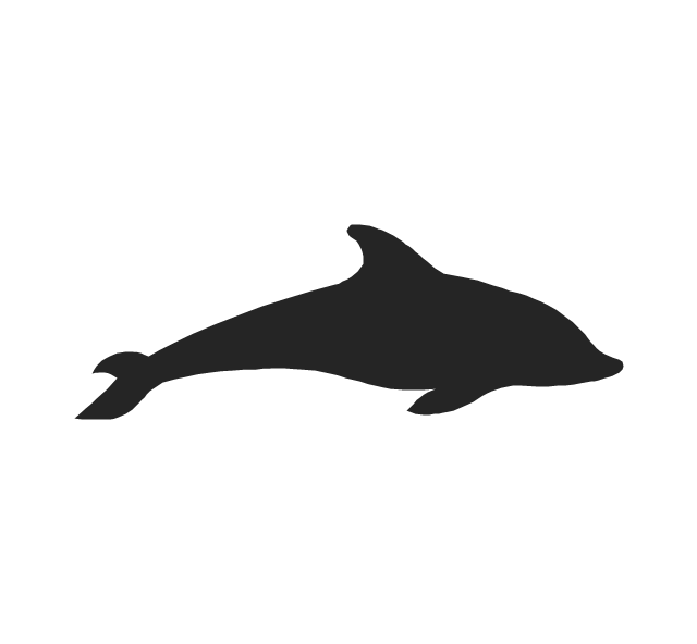
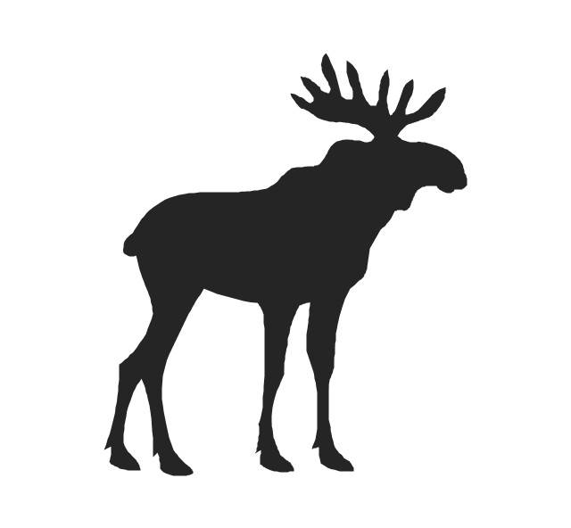
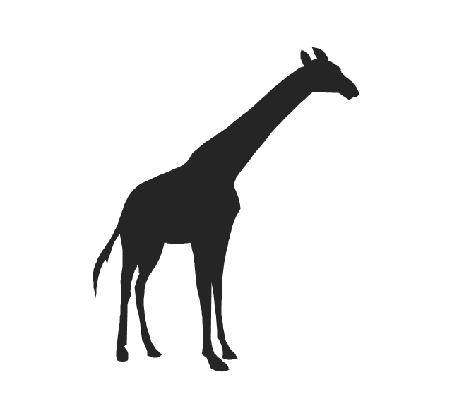
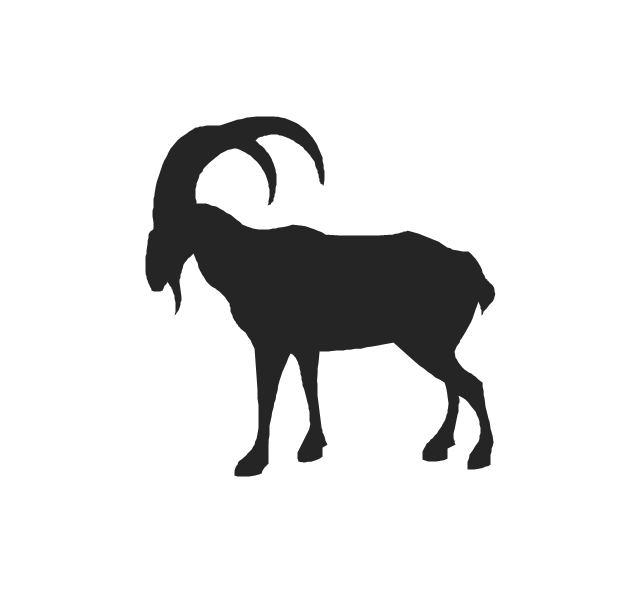
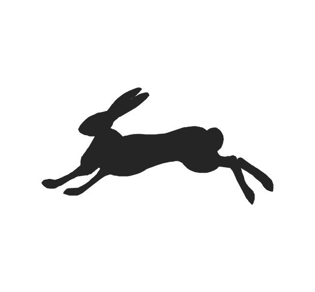
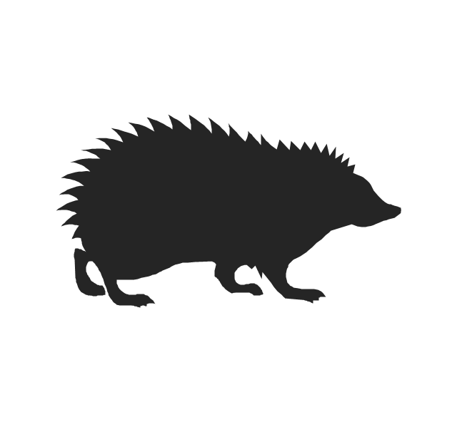
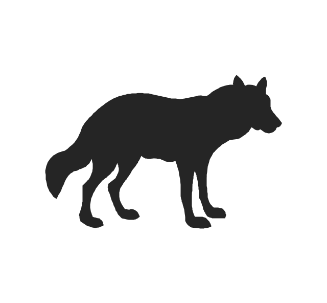
The vector stencils library "Animals" contains 24 silhouettes clipart of animals for drawing illustrations.
"Animals are divided into various sub-groups, some of which are: vertebrates (birds, mammals, amphibians, reptiles, fish); mollusks (clams, oysters, octopuses, squid, snails); arthropods (millipedes, centipedes, insects, spiders, scorpions, crabs, lobsters, shrimp); annelids (earthworms, leeches); sponges; and jellyfish." [Animal. Wikipedia]
The silhouettes clip art example "Animals - Vector stencils library" was created using the ConceptDraw PRO diagramming and vector drawing software extended with the Nature solution from the Illustration area of ConceptDraw Solution Park.
www.conceptdraw.com/ solution-park/ illustrations-nature
Cat

Pig

Bear
Deer
Badger

Beaver

Camel
Dolphin
Dog

Elephant

Elk
Seal

Giraffe
Goat
Hare
Horse

Hedgehog
Kangaroo

Lion

Squirrel

Snake

Tiger

Turtle

Wolf
Geo Map - South America - Peru

Geo Map - Africa - Niger

Geo Map - Africa - Western Sahara

Geo Map - Africa - Tunisia

Geo Map - Africa - Morocco

Australia Map — Northern Territory

Geo Map - Asia - Syria

Geo Map - Asia - Thailand

- Design elements - Geography | Desert Terrain Clipart Png
- Waterfall Png
- Forest Mountain Landscape Png
- Iceberg Png
- Geography - Vector stencils library
- Desert Png Vector
- Desert Mountain Icon Png
- Geo Map - Asia - Papua New Guinea | Geo Map - Europe | Geo Map ...
- Rivers Desert Mountain Forest Ocean Clipart Png
- Mountains Cartoon Png
- Png Mountain River
- Volcano Png
- Hill Nataurl Cartoon Png
- Stream River Vector Png
- Png Images Of Mountains Vector
- Real River Vector Png
- Clipart Png Hills
- Geo Map - Asia - Papua New Guinea | Geo Map - Europe - Bulgaria ...
- Hills Png Vector
- Forest Illustration Png