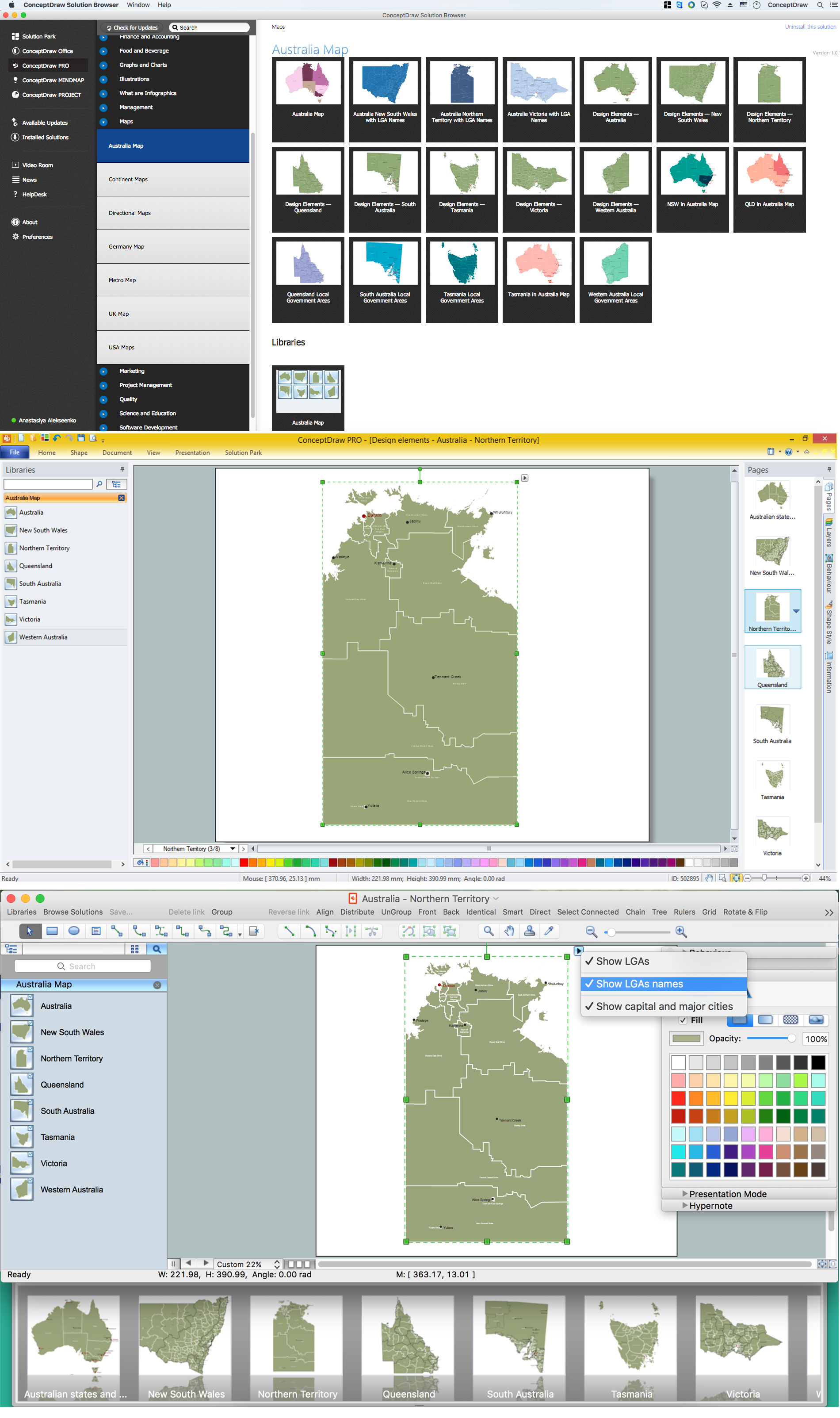
Example 1. Australia Map Solution — Northern Territory
Australia Map Solution included in ConceptDraw Solution Park provides the Australia Map library with 8 design elements specially developed for easy drawing Australia maps:
These elements allow design the map of any Australia state or whole Australia map literally for the few minutes. Besides, all these objects are vector, so you can resize them without loss of quality. Highlight with color some details or regions to make your map more interesting, bright and attractive.
Australia Map Solution includes also collection of samples which are available from ConceptDraw STORE. All these example maps are the good base for variety of Australia thematic maps.

Example 2. Australia Map
The samples you see on this page were created in ConceptDraw DIAGRAM software using the tools of the Australia Map solution. They demonstrate Australia Map and the map of Australia Queensland Local Government Areas. An experienced user spent 10 minutes creating each of these samples.
Use the Australia Map solution for ConceptDraw DIAGRAM software to design your own Australia map and thematic maps on its base quick, easy and effective.
All source documents are vector graphic documents. They are available for reviewing, modifying, or converting to a variety of formats (PDF file, MS PowerPoint, MS Visio VSDX, and many other graphic formats) from the ConceptDraw STORE. The Australia Map Solution is available for all ConceptDraw DIAGRAM or later users.

Example 3. Export Conceptdraw PRO Document to PDF File

Example 4. Export Conceptdraw PRO Document to MS PowerPoint

Example 5. Export Conceptdraw PRO Document to MS Visio VSDX
FOUR RELATED HOW TO's:
The vector stencils library Australia contains contours of New Zealand and Australian states and mainland territories for ConceptDraw DIAGRAM diagramming and vector drawing software.
Picture: Geo Map — Australia — New Zealand
Related Solution:
South Australia (abbreviated as SA) is a state in the southern central part of Australia. It covers some of the most arid parts of the continent.
Picture: Geo Map - Australia - South Australia
Related Solution:
Western Australia (abbreviated as WA) is a state occupying the entire western third of Australia.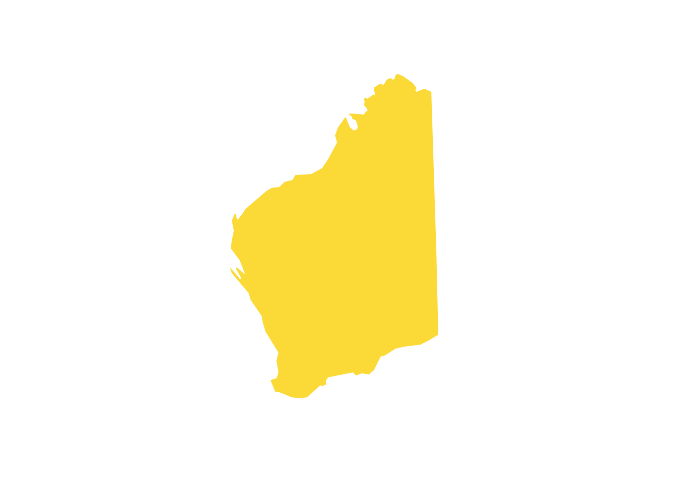
Picture: Geo Map - Australia - Western Australia
Related Solution:
It is convenient to represent various routes, directions, roads on the directional maps and navigation schemes. ConceptDraw DIAGRAM diagramming and vector drawing software supplied with Directional Maps Solution from the Maps Area of ConceptDraw Solution Park is effective for drawing Directions Maps.
Picture: Directions Maps
Related Solution:


