Geo Map - South America - Nicaragua

Geo Map — United States of America Map

Geo Map of Americas

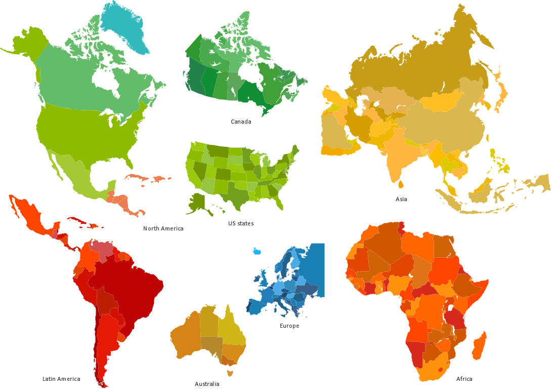
 Continent Maps
Continent Maps solution extends ConceptDraw DIAGRAM software with templates, samples and libraries of vector stencils for drawing the thematic maps of continents, state maps of USA and Australia.
Geo Map - USA - North Dakota

Informative and Well-Designed Infographics
Geo Map — USA — Virginia

Geo Map - Europe - Iceland

Types of Map - Overview

Rail transport - Design elements
- North and Central America country flags - Vector stencils library ...
- Map Of North America Clip Art
- South America country flags - Vector stencils library | South America ...
- Geo Map — United States of America Map | Design elements - North ...
- Geo Map - South America - Jamaica | Geo Map - South America ...
- North and Central America flags - Stencils library | South America ...
- Geo Map - Africa - Namibia | Geo Map - South America - Guyana ...
- South America country flags - Vector stencils library | Geo Map ...
- Geo Map - South America - Dominican Republic | South America ...
- Geo Map - South America - Mexico | Geo Map - South America ...