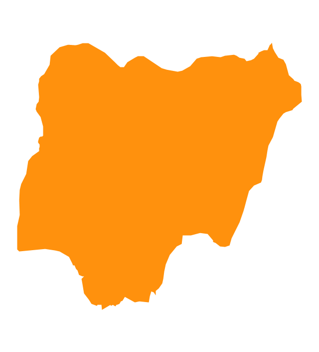
Geo Map - Africa - Nigeria

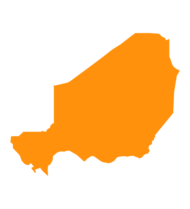
Geo Map - Africa - Niger

Geo Map - Africa - Libya

Geo Map - Africa - Tunisia

Geo Map - Africa - Western Sahara

Geo Map - Africa - Senegal

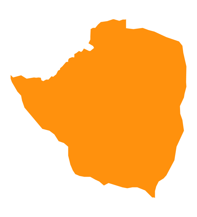
Geo Map - Africa - Zimbabwe

Geo Map - Africa - Benin

Geo Map - Africa - Togo

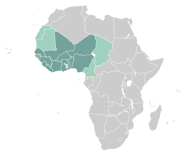
"West Africa, also called Western Africa and the West of Africa, is the westernmost region of the African continent. In line with the current membership of the Economic Community of West African States (ECOWAS), West Africa has been defined in Africa as including the fifteen countries of Benin, Burkina Faso, Cape Verde, Gambia, Ghana, Guinea, Guinea-Bissau, Ivory Coast, Liberia, Mali, Niger, Nigeria, Senegal, Sierra Leone and Togo." [West Africa. Wikipedia]
This example West Africa countries map was redesigned from the Wikimedia Commons file: Afryka Zachodnia.png.
[commons.wikimedia.org/ wiki/ File:Afryka_ Zachodnia.png]
The political map example "West Africa countries" was created using ConceptDraw PRO diagramming and vector drawing software extended with the Continent Map solution from the Maps area of ConceptDraw Solution Park.
Political map - West Africa
Geo Map - Africa - Cote d'Ivoire

Geo Map - Africa - Chad

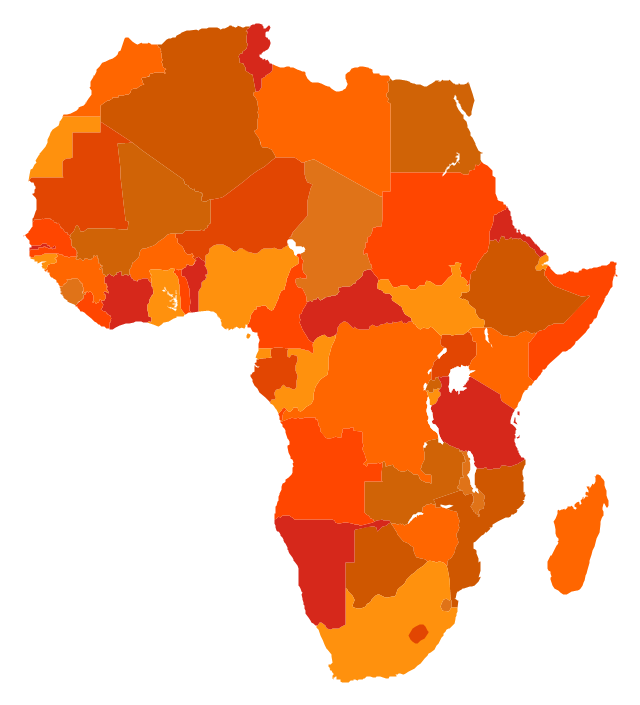
Geo Map - Africa

The vector stencils library "Africa" contains 51 country contours for drawing thematic maps of Africa.
Use it in your spatial infographics for visual representation of geospatial information, statistics and quantitative data in the ConceptDraw PRO diagramming and vector drawing software extended with the Spatial Infographics solution from the area "What is Infographics" of ConceptDraw Solution Park.
Use it in your spatial infographics for visual representation of geospatial information, statistics and quantitative data in the ConceptDraw PRO diagramming and vector drawing software extended with the Spatial Infographics solution from the area "What is Infographics" of ConceptDraw Solution Park.
Africa
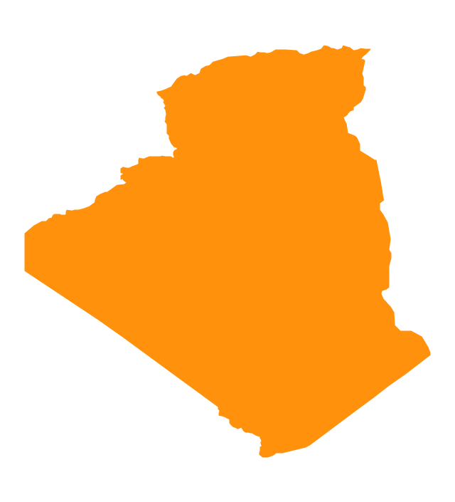
Algeria
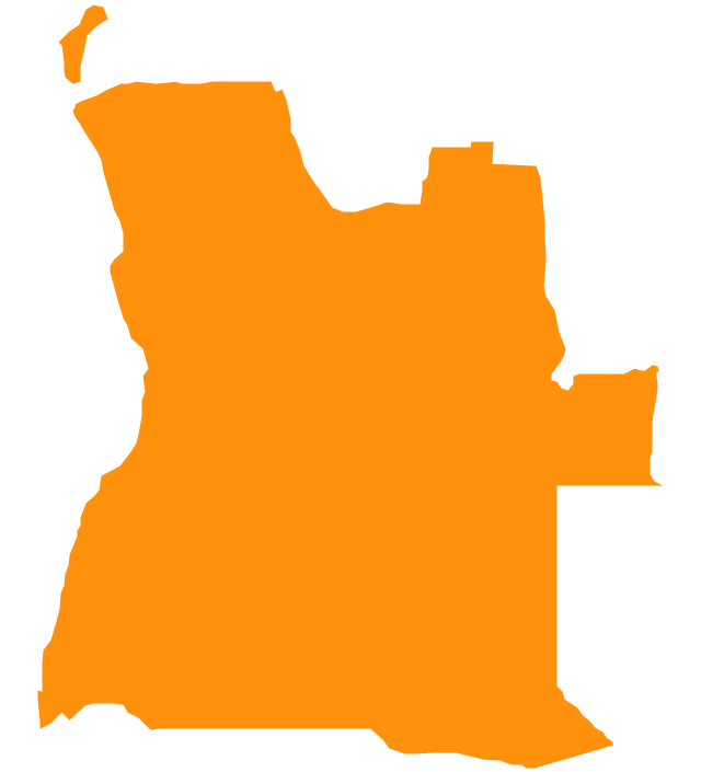
Angola
Benin

Botswana
Burkina Faso
Burundi

Cameroon

Central African Republic
Chad

Congo

Congo (DRC)
-africa---vector-stencils-library.png--diagram-flowchart-example.png)
Cote d'Ivoire
Djibouti

Egypt

Equatorial Guinea
Eritrea
Ethiopia
Gabon

Ghana

Gambia

Guinea
Guinea-Bissau

Kenya

Lesotho

Liberia
Malawi

Libya
Madagascar
Mali
Niger
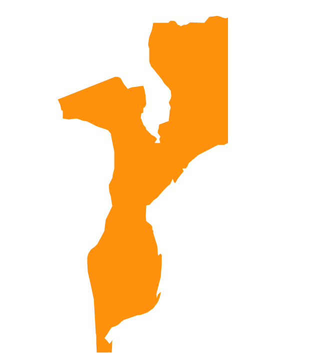
Mozambique
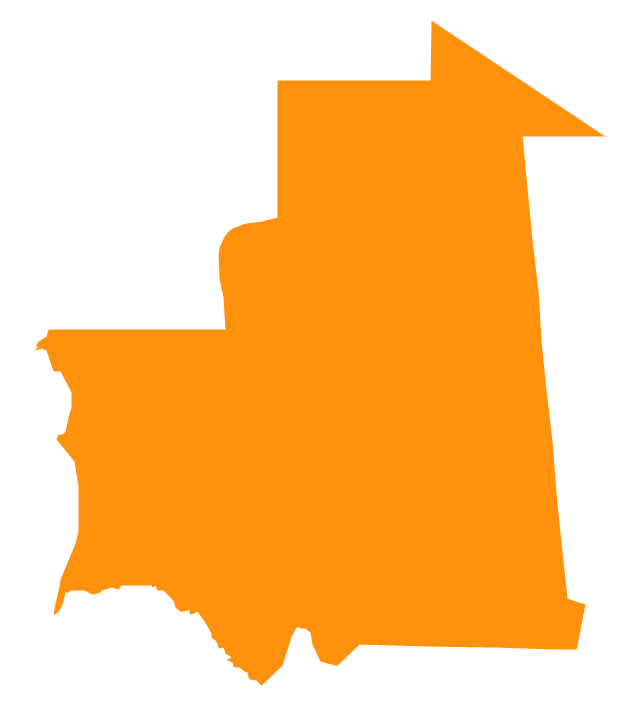
Mauritania
Nigeria
Morocco

Namibia
Senegal
Sierra Leone
Rwanda
Somalia

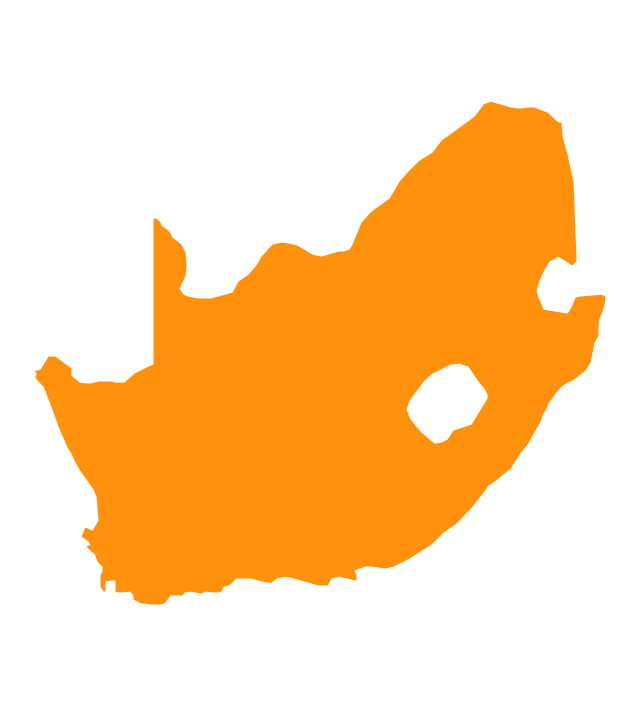
South Africa
Sudan

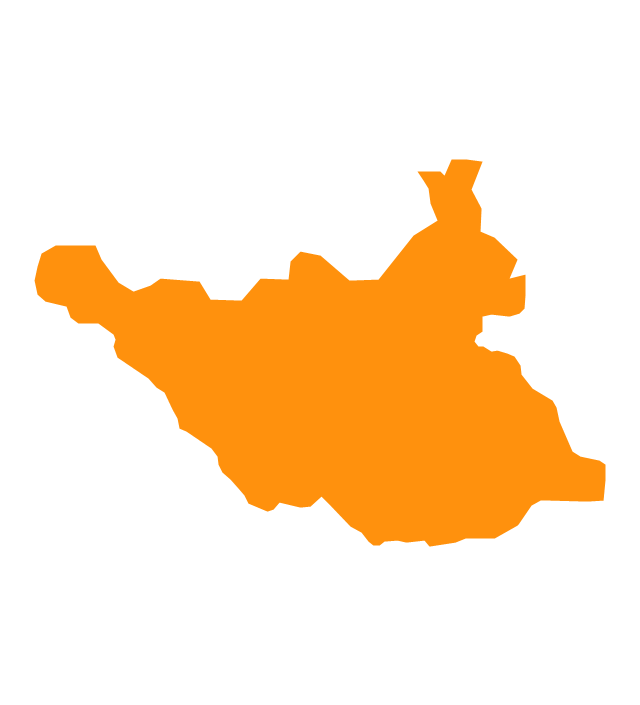
South Sudan
Swaziland

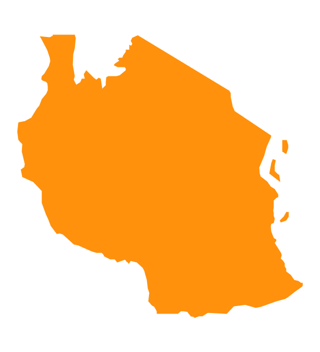
Tanzania
Togo

Tunisia

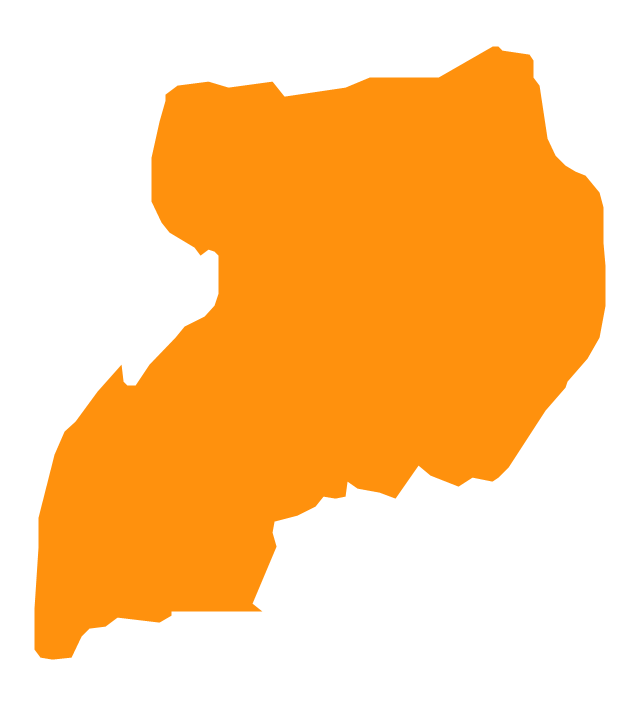
Uganda
Western Sahara

Zimbabwe
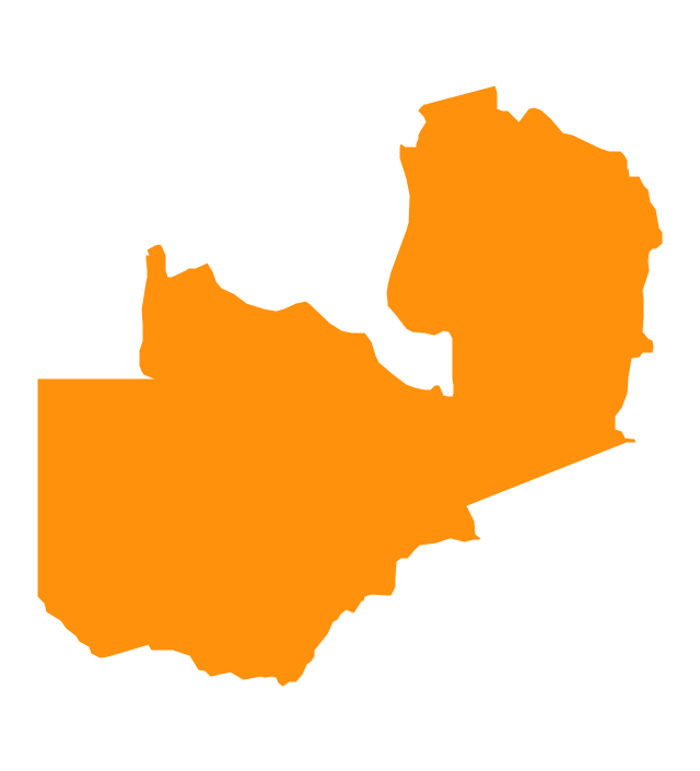
Zambia
Geo Map - Africa - Mali

- Map Of Nigeria Png
- Nigeria Map Png
- Africa flags - Stencils library | Plain Nigeria Map Png
- Png Of Nigeria Map
- Download Png Image Of Nigeria Map
- Process Flowchart | Geo Map - Africa - Nigeria | How To Create ...
- West Africa countries | Geo Map - Africa - Nigeria | Africa - Vector ...
- Nigeria Map Vectors Image Png
- Libya Map Png
- Africa Map Png
- West Africa Map Png
- East Africa - Political map | Geo Map - Asia - Papua New Guinea ...
- Art Map Of Nigeria
- Ivory Coast Map Png
- Geo Map - Africa - Nigeria
- Geo Map - Africa - Nigeria
- Tanzania Map Png
- Uganda Map Png
- Geo Map - Africa | Geo Map - Asia - Papua New Guinea | Spatial ...
- Morocco Map Vector Png