Geo Map - South America - Mexico

Geo Map - USA - Mexico

Geo Map - USA - New Mexico

The vector stencils library "Latin America" contains 30 country contours for drawing thematic maps of Latin America.
Use it in your spatial infographics for visual representation of geospatial information, statistics and quantitative data in the ConceptDraw PRO diagramming and vector drawing software extended with the Spatial Infographics solution from the area "What is Infographics" of ConceptDraw Solution Park.
Use it in your spatial infographics for visual representation of geospatial information, statistics and quantitative data in the ConceptDraw PRO diagramming and vector drawing software extended with the Spatial Infographics solution from the area "What is Infographics" of ConceptDraw Solution Park.
Latin America

North America, Central America and the Caribbean

South America

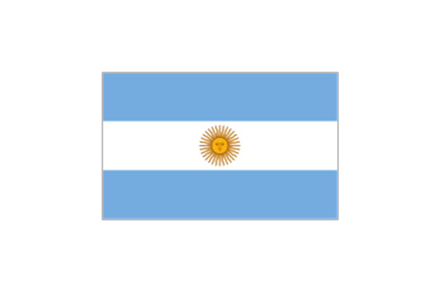
Argentina

Belize

Bolivia

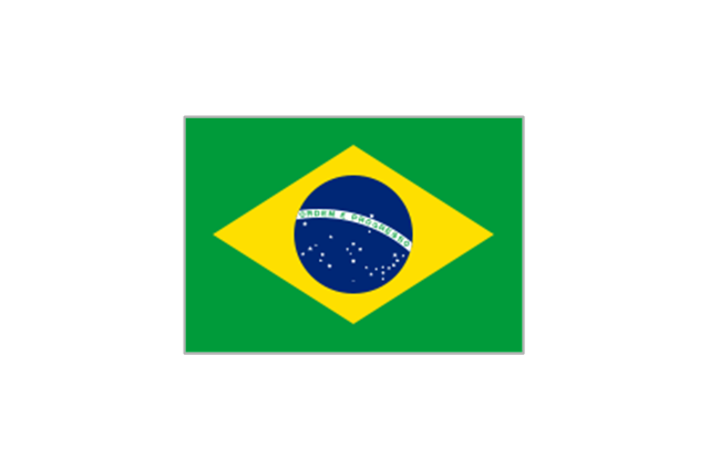
Brazil

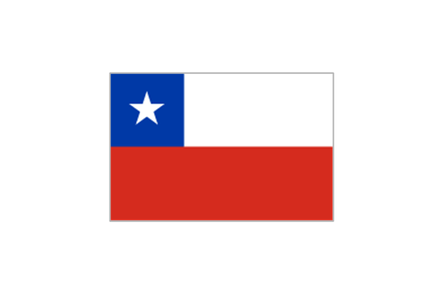
Chile

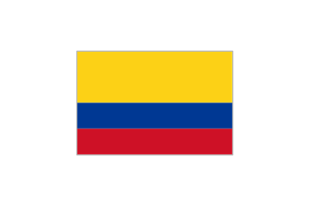
Colombia

Costa Rica

Cuba

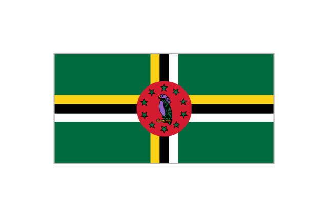
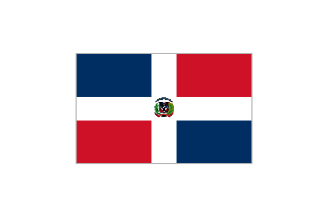
Dominican Republic

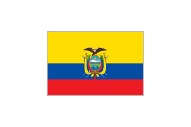
Ecuador

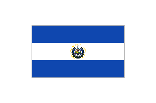
El Salvador

French Guiana

Guatemala

Guyana

Haiti

Honduras

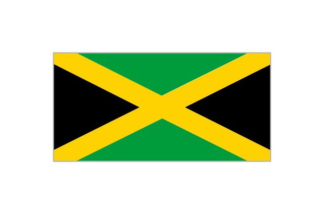
Jamaica

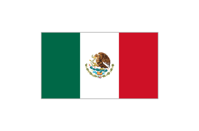
Mexico

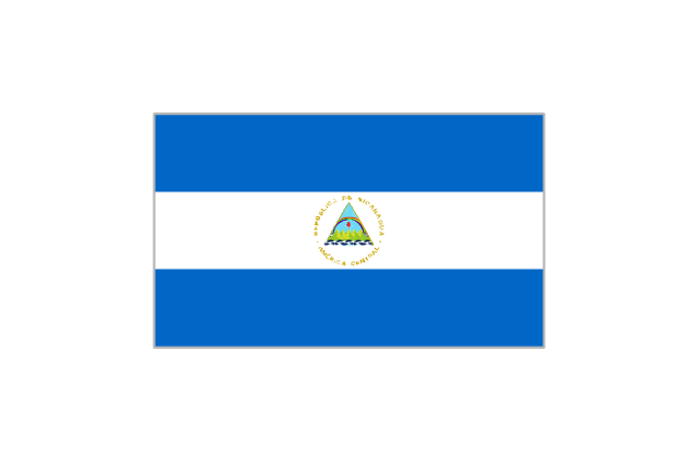
Nicaragua

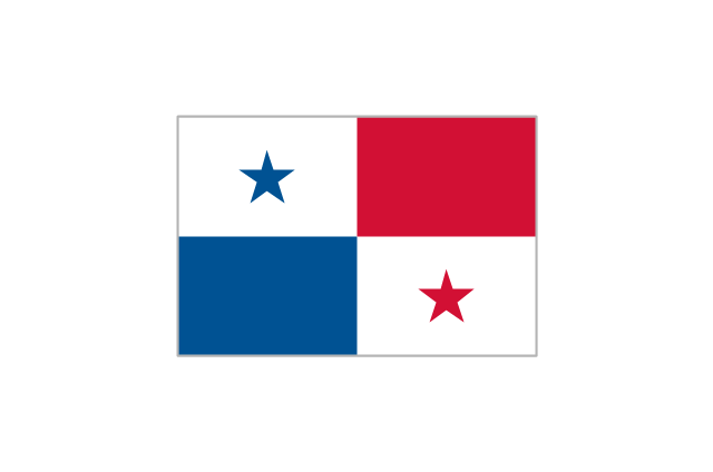
Panama

Paraguay

Peru

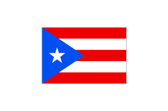
Puerto Rico

Suriname

Trinidad and Tobago

Uruguay

Venezuela

The vector stencils library "FIFA World Cup 2014 team flags" contains 32 FIFA World Cup 2014 team flags clipart.
Use these shapes to draw your FIFA World Cup infographics and illustrations in the ConceptDraw PRO diagramming and vector drawing software extended with the Soccer solution from the Sport area of ConceptDraw Solution Park.
www.conceptdraw.com/ solution-park/ sport-soccer
Use these shapes to draw your FIFA World Cup infographics and illustrations in the ConceptDraw PRO diagramming and vector drawing software extended with the Soccer solution from the Sport area of ConceptDraw Solution Park.
www.conceptdraw.com/ solution-park/ sport-soccer
Australia

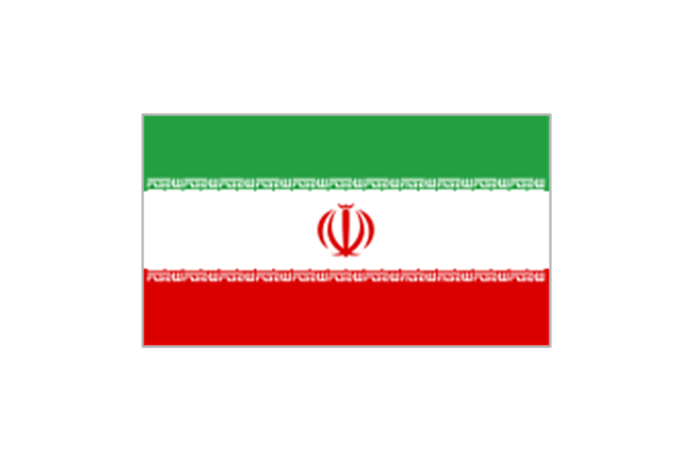
Iran
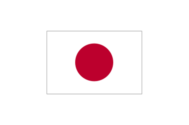
Japan
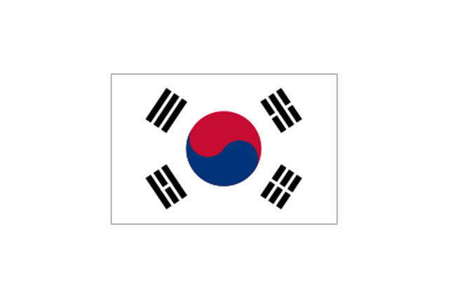
South Korea
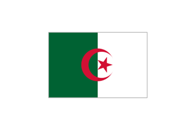
Algeria
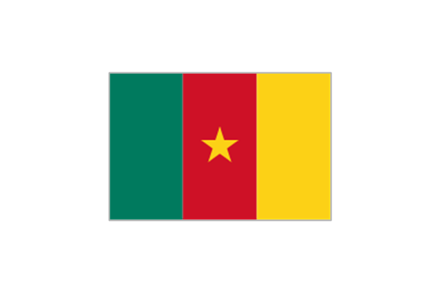
Cameroon
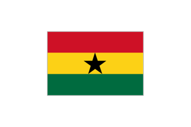
Ghana
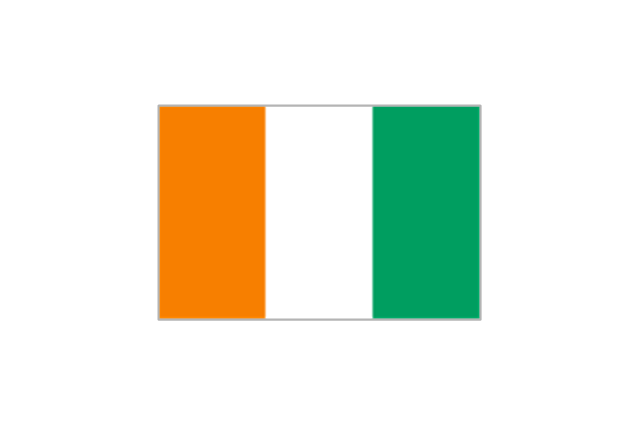
Ivory Coast
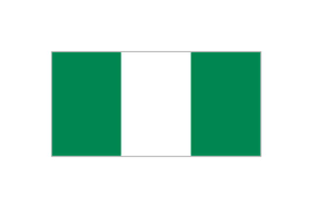
Nigeria
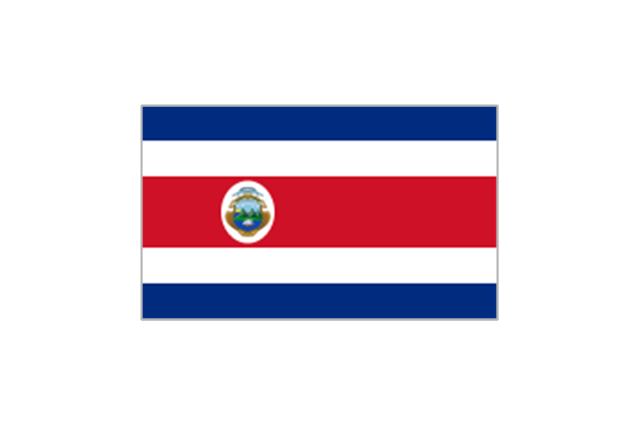
Costa Rica
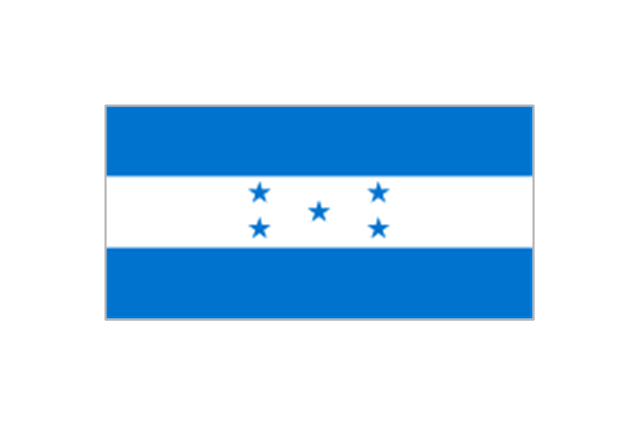
Honduras
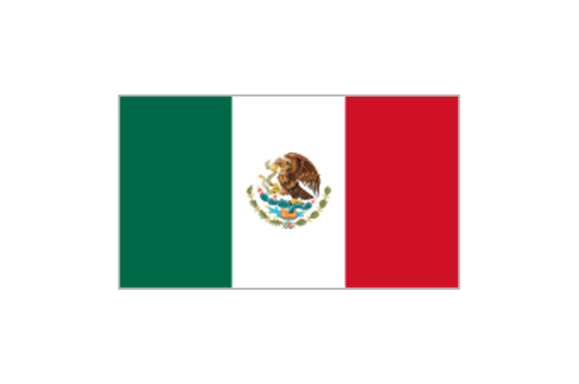
Mexico
United States

Argentina
Brazil
Chile
Colombia
Ecuador
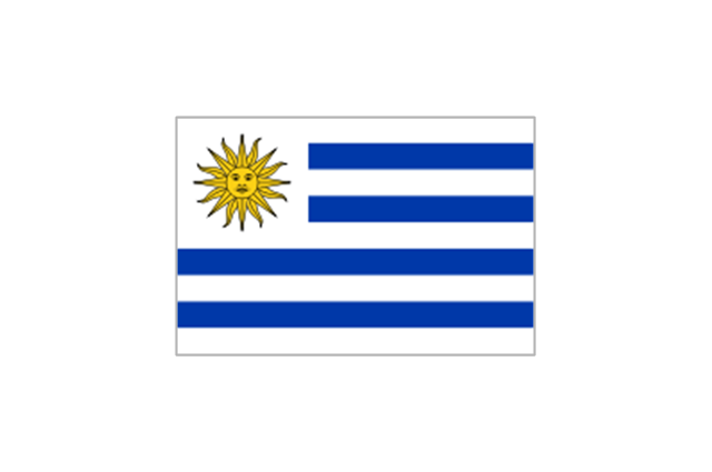
Uruguay
Belgium

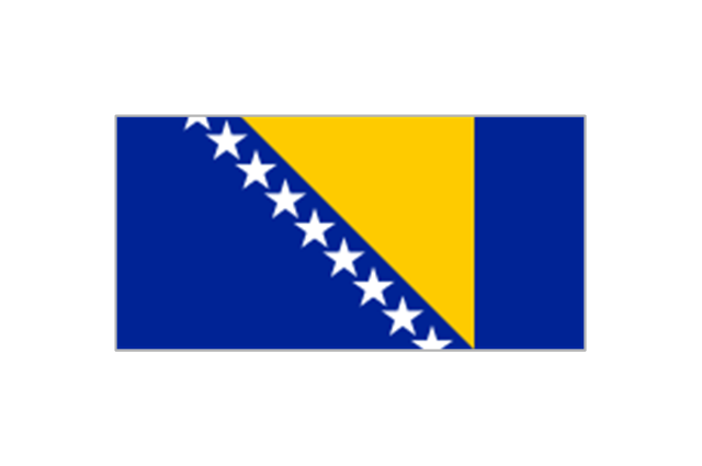
Bosnia and Herzegovina
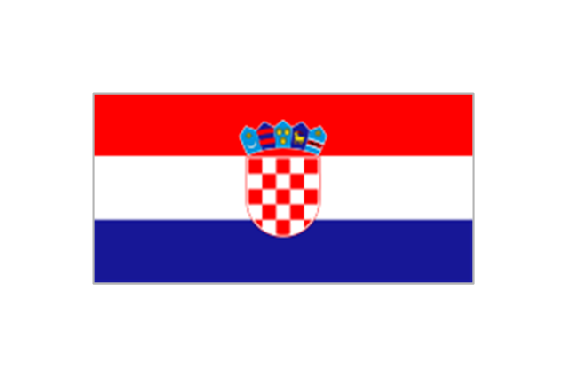
Croatia
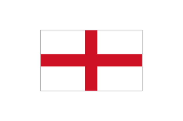
England
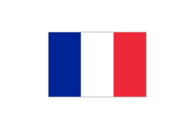
France
Germany

Greece

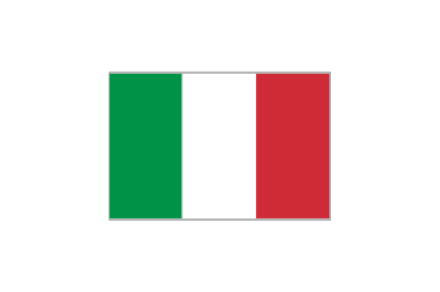
Italy
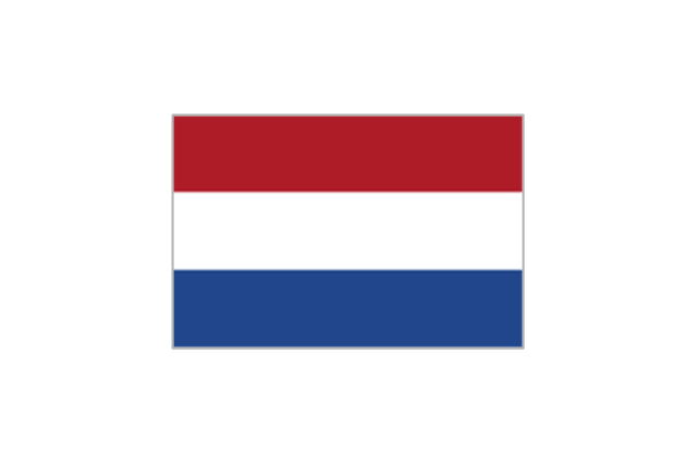
Netherlands
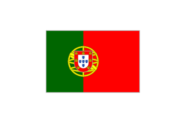
Portugal
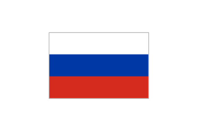
Russia
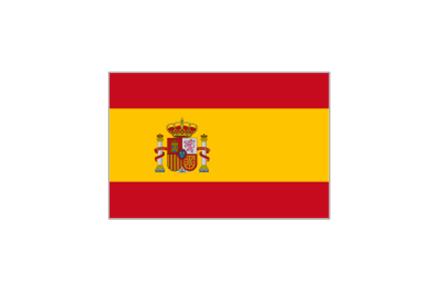
Spain
Switzerland

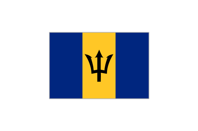
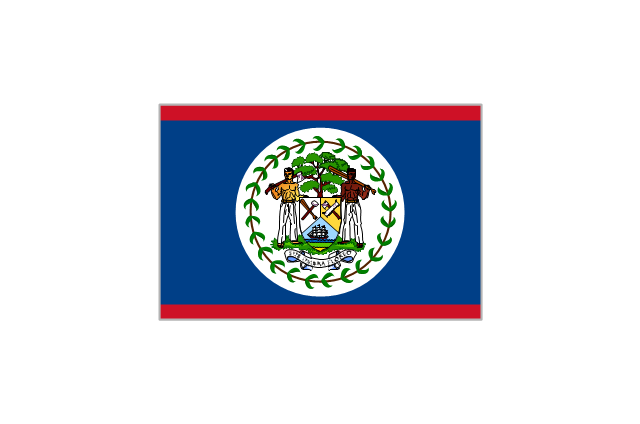
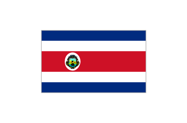
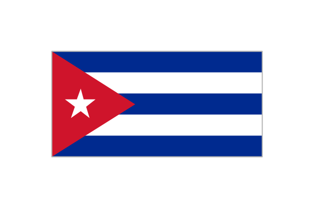
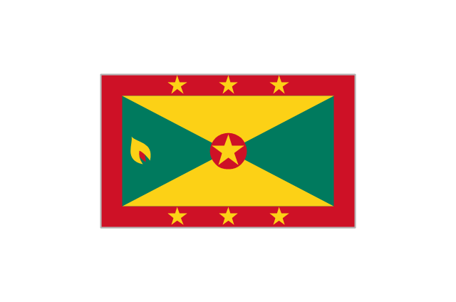
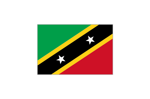
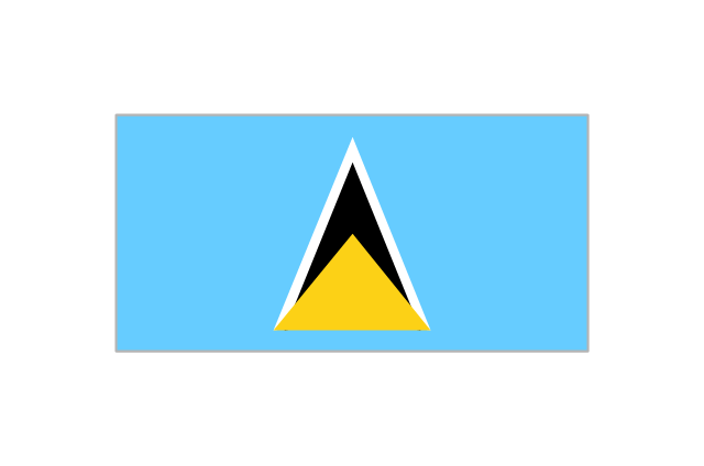
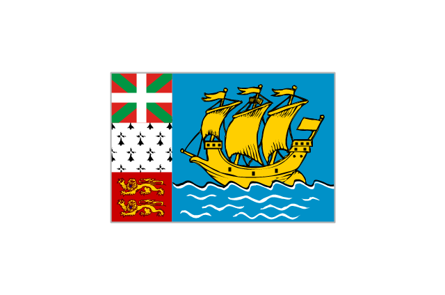
The vector stencils library "North and Central America country flags" contains 26 clipart images of North and Central American state flags. Use the North and Central American country flags clip art to illustrate your business documents, presentation slides, web pages, geo maps and infographics. The clip art example "North and Central America country flags - Vector stencils library" was created using the ConceptDraw PRO diagramming and vector drawing software extended with the Artwork solution from the Illustration area of ConceptDraw Solution Park.
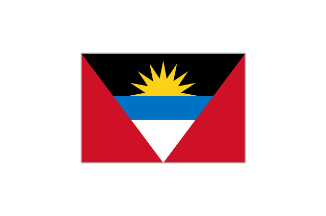
Antigua and Barbuda
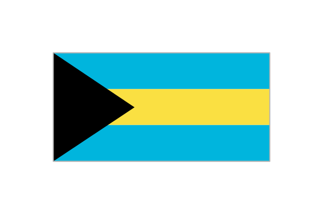
Bahamas
Barbados
Belize
Canada

Costa Rica
Cuba
Dominica
Dominican Republic
El Salvador
Grenada
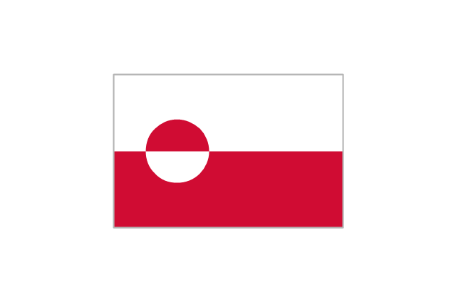
Greenland
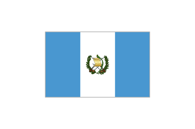
Guatemala
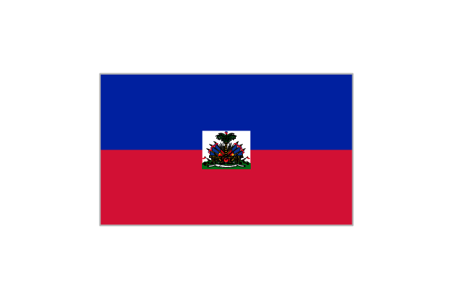
Haiti
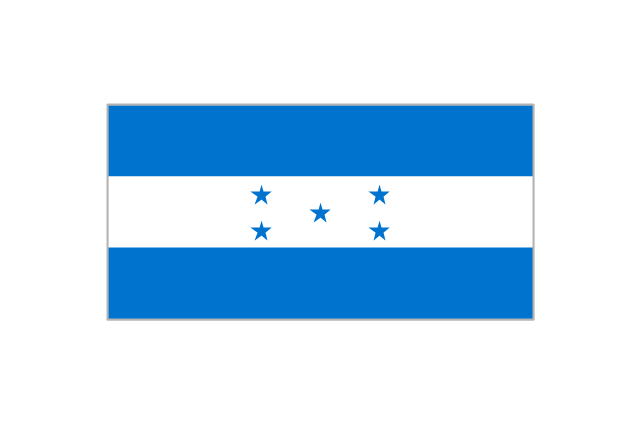
Honduras
Jamaica
Mexico
Nicaragua
Panama
Puerto Rico
St. Kitts and Nevis
St. Lucia
St. Pierre and Miquelon
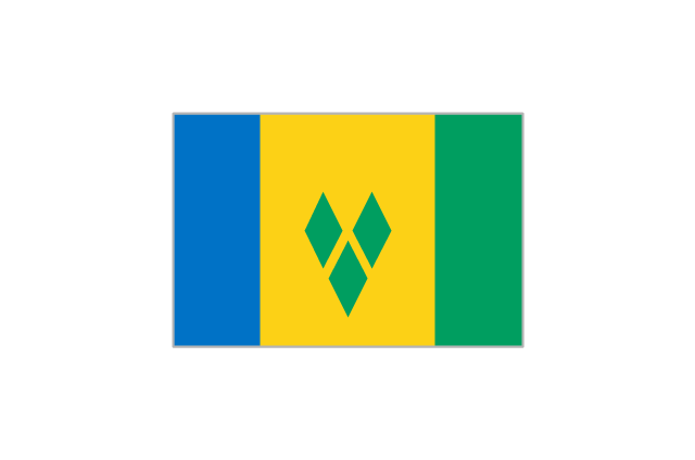
St. Vincent and the Grenadines
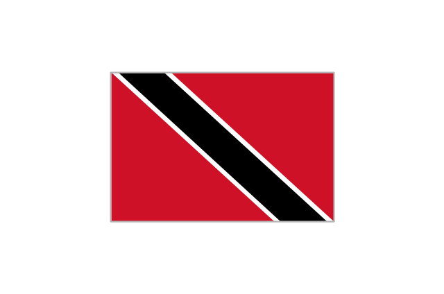
Trinidad and Tobago
United States

Geo Map - USA - Wisconsin

Geo Map - South America - Guatemala

Geo Map - USA - Maryland

Geo Map - USA - Arizona

Geo Map - South America - Brazil

Geo Map - South America - Honduras

The vector stencils library "Latin America" contains 30 country contours for drawing thematic maps of Latin America.
Use it in your spatial infographics for visual representation of geospatial information, statistics and quantitative data in the ConceptDraw PRO diagramming and vector drawing software extended with the Spatial Infographics solution from the area "What is Infographics" of ConceptDraw Solution Park.
Use it in your spatial infographics for visual representation of geospatial information, statistics and quantitative data in the ConceptDraw PRO diagramming and vector drawing software extended with the Spatial Infographics solution from the area "What is Infographics" of ConceptDraw Solution Park.
Latin America
North America, Central America and the Caribbean
South America
Argentina
Belize
Bolivia
Brazil
Chile
Colombia
Costa Rica
Cuba
Dominican Republic
Ecuador
El Salvador
French Guiana
Guatemala
Guyana
Haiti
Honduras
Jamaica
Mexico
Nicaragua
Panama
Paraguay
Peru
Puerto Rico
Suriname
Trinidad and Tobago
Uruguay
Venezuela
The vector stencils library "Marketing maps" contains 44 state map contours with capitals and major cities: the Group of Twenty (G20) state maps, EU state maps and World map.
Use it to visualize geospatial information in your marketing infograms.
"The Group of Twenty (also known as the G-20 or G20) is a forum for the governments and central bank governors from 20 major economies. The members, shown highlighted on the map at right, include 19 individual countries—Argentina, Australia, Brazil, Canada, China, France, Germany, India, Indonesia, Italy, Japan, Republic of Korea, Mexico, Russian Federation, Saudi Arabia, South Africa, Turkey, United Kingdom, United States—and the European Union (EU). The EU is represented by the European Commission and by the ECB." [G-20 major economies. Wikipedia]
The G-20 state map contours example "Design elements - Marketing maps (G-20)" was created using the ConceptDraw PRO diagramming and vector drawing software extended with the Marketing Infographics solition from the area "Business Infographics" in ConceptDraw Solution Park.
The Group of Twenty (G-20) state maps
-state-maps-design-elements---marketing-maps-(g-20).png--diagram-flowchart-example.png)
Geo Map - USA - Alaska

- America Map States
- Geo Map - South America - Mexico
- Caribbean Map Png
- Flags - Stencils library | Geo Map - South America - Mexico | Flags ...
- South America regions - Political map | Geo Map - South America ...
- Geo Map - South America - El Salvador
- Geo Map - South America - Mexico | Thematic maps - Vector stencils ...
- Geo Map - South America - Mexico | Geo Map - USA - Mexico | North ...
- Mexico And South America
- Geo Map - South America - Mexico | Geo Map - USA - Arkansas ...
- Geo Map - South America - Mexico | Geo Map - USA - Arizona | Geo ...
- South America map with capitals - Template | Geo Map - South ...
- Geo Map - USA - Mexico
- French Flag Fifa Png
- Mapa Argentina Vector Png
- Geo Map - South America Continent
- Map Of The United States Of Americ
- Map Of El Salvador And South Ameica
- Picture Of United States Of America Map
- Clipart Of Mexico The Country