"Central America ... is the central geographic region of the Americas. It is the southernmost, isthmian portion of the North American continent, which connects with South America on the southeast. When considered part of the unified continental model, it is considered a subcontinent. Central America consists of seven countries: Belize, Costa Rica, El Salvador, Guatemala, Honduras, Nicaragua, and Panama. Central America is part of the Mesoamerican biodiversity hotspot, which extends from northern Guatemala through central Panama. It is bordered by Mexico to the north, the Caribbean Sea to the east, the North Pacific Ocean to the west, and Colombia to the south-east, which is also the most southern point of North America." [Central America. Wikipedia]
This example Political map of Central America was redesigned from Wikimedia Commons file: Map of Central America.png. [commons.wikimedia.org/ wiki/ File:Map_ of_ Central_ America.png]
This file is licensed under the Creative Commons Attribution-Share Alike 3.0 Unported license. [creativecommons.org/ licenses/ by-sa/ 3.0/ deed.en]
The example "Political map of Central America" was created using the ConceptDraw PRO diagramming and vector drawing software extended with the Continent Maps solution from the Maps area of ConceptDraw Solution Park.
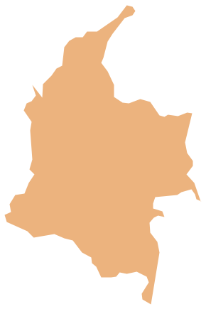
Political map - Central America

Geo Map - South America - Jamaica

Geo Map - South America - Guyana

Geo Map - South America - Dominican Republic

Geo Map - South America - Haiti

Geo Map - South America - Nicaragua

Geo Map - South America - Costa Rica

Geo Map - South America - Belize

Geo Map - South America - Cuba

Geo Map - South America - Colombia
- Geo Map - South America - Colombia | Latin America - Vector ...
- Latam Map Png
- South America Map Png
- North Asia - Political map | Political map of Central America | South ...
- Map Of Austria Png Vector
- Geo Map - South America
- France Map Png
- Romanian Map Png
- Geo Map - South America - Argentina | Argentina in South America ...
- Caribbean