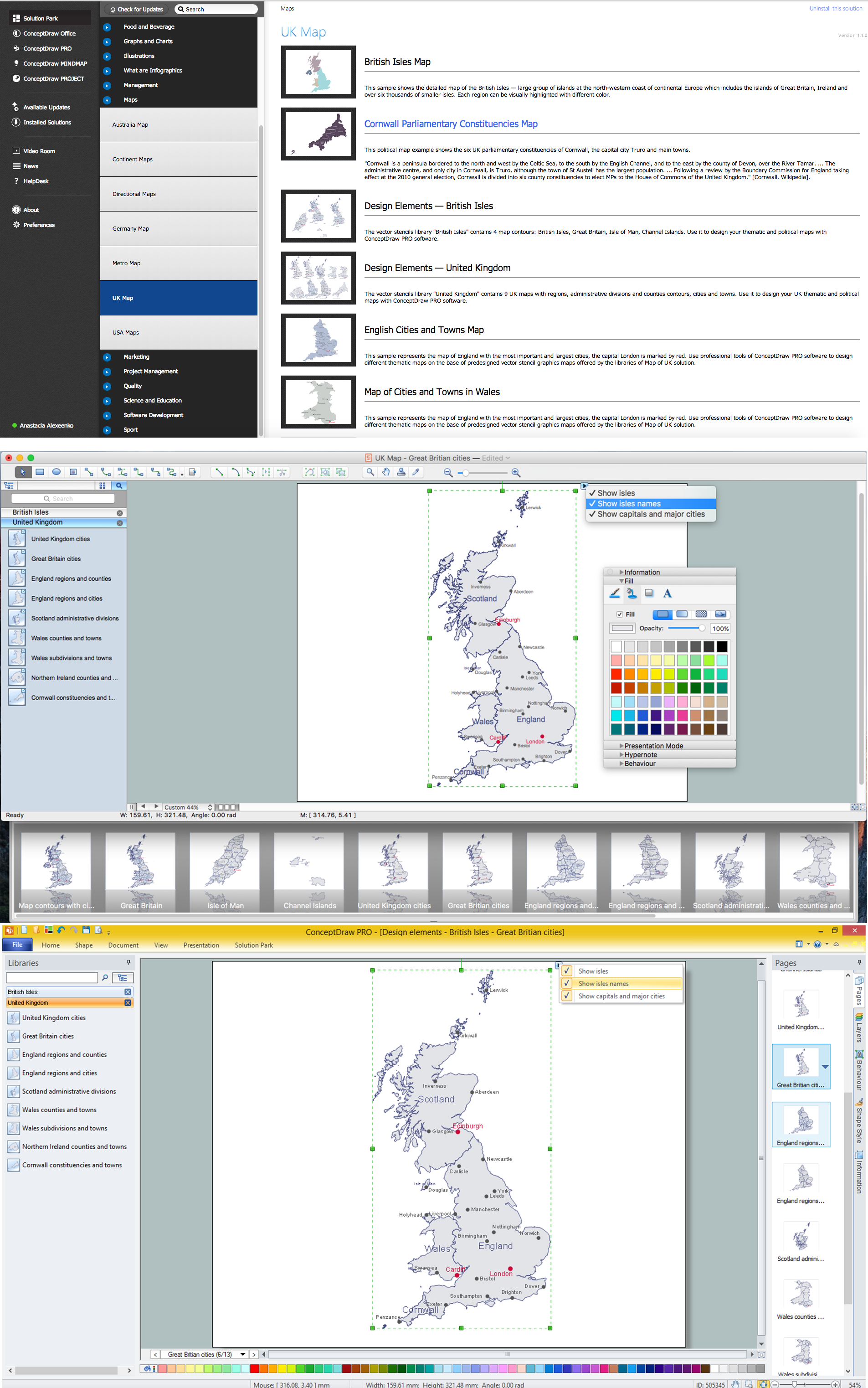
Map of UK — Great Britain Cities
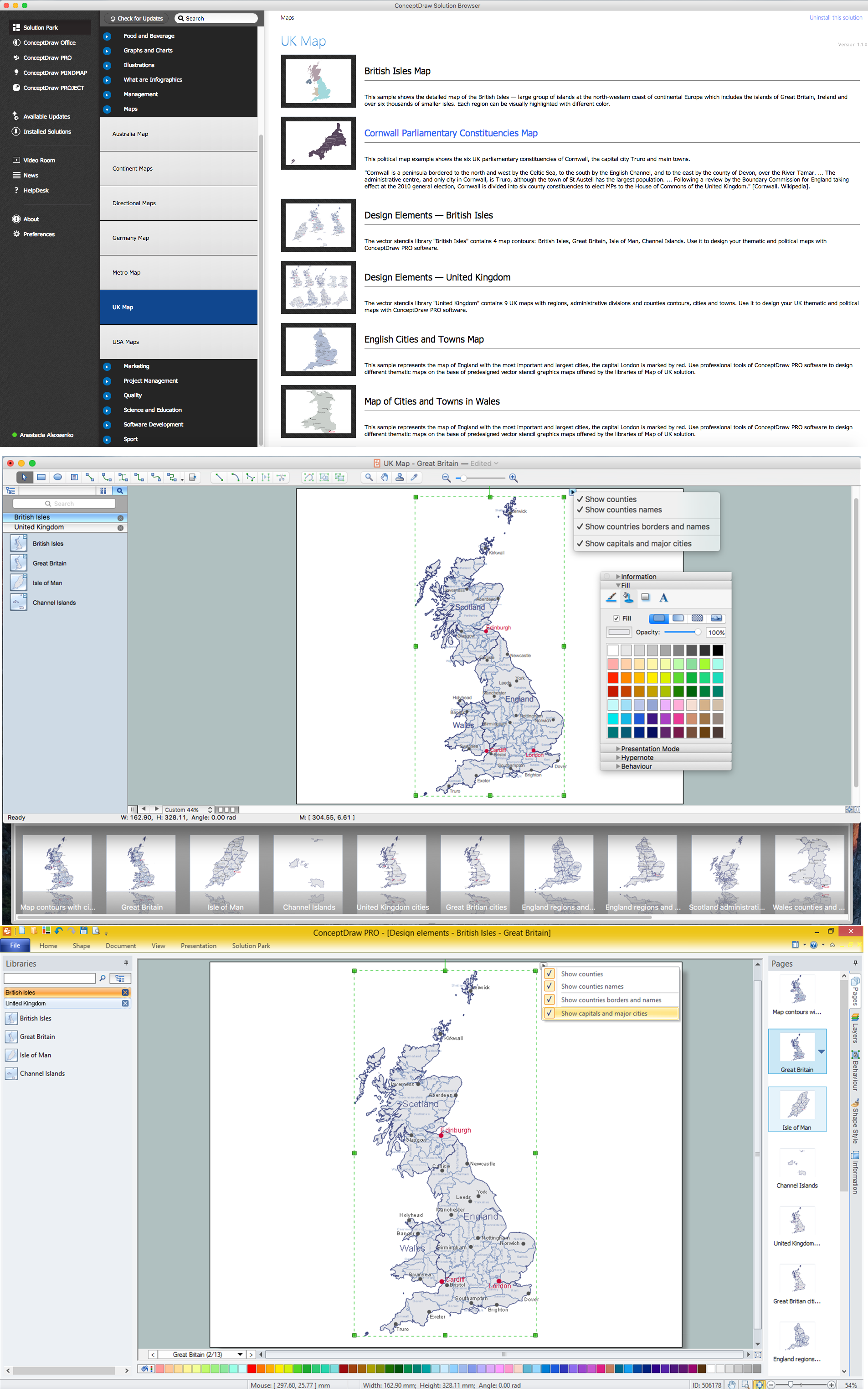
Map of UK — Great Britain
Map of England

Directions Maps

Geo Map - USA - Illinois

How To Draw Building Plans

World Continents Map

 Australia Map
For graphic artists creating accurate maps of Australia. The Australia Map solution - allows designers to map Australia for their needs, offers a collection of scalable graphics representing the political geography of Australia, split into distinct state
Building Drawing Software for Design Office Layout Plan


- Business Package for Management | Education Package ...
- USA Maps | Continent Maps | Germany Map | Sales By State Map
- United Kingdom Map Solution
- Maps Driving Directions | UK Map | 2D Directional map - Template ...
- 3D pictorial street map | Design elements - 3D directional maps ...
- Sales Regions Map Software
- Map of Germany | Spatial infographics Design Elements: Location ...
- Network Layout Floor Plans | How to Draw Maps of Australia Using ...
- How to Create a Map Depicting the United Kingdom Counties and ...
- Interior Design Seating Plan - Design Elements | Cinema cafe ...