Geo Map — United States of America Map

"A state of the United States of America is one of the 50 constituent political entities that shares its sovereignty with the United States federal government."
[U.S. state. Wikipedia]
This political map example was redesigned from the Wikimedia Commons file: Map of USA with state names 2.svg.
[commons.wikimedia.org/ wiki/ File:Map_ of_ USA_ with_ state_ names_ 2.svg]
This file is licensed under the Creative Commons Attribution-Share Alike 3.0 Unported license. [creativecommons.org/ licenses/ by-sa/ 3.0/ deed.en]
The example "Map of USA with state names" was created using the ConceptDraw PRO diagramming and vector drawing software extended with the Continent Map solution from the Maps area of ConceptDraw Solution Park.
Political map - USA

Geo Map - USA - Georgia

Geo Map — USA — Colorado

Geo Map — USA — Mississippi

Geo Map - USA - Indiana

Geo Map - USA - Idaho

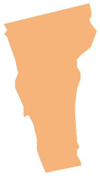
Geo Map - USA - Vermont
Geo Map - USA - Nevada

Geo Map — USA — Montana

Geo Map - USA - Kansas

Geo Map - USA - New Jersey

Geo Map - USA - North Dakota

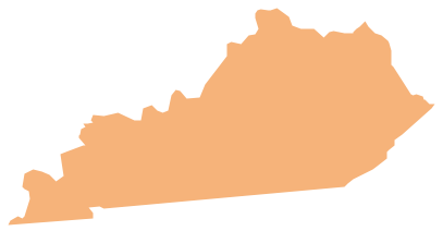
Geo Map - USA - Kentucky
Geo Map - USA - Utah

Geo Map - USA - Maine

Geo Map - USA - Maryland

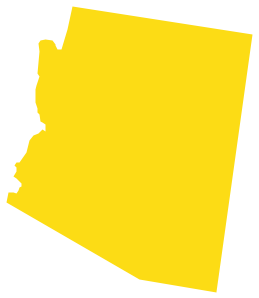
Geo Map - USA - Arizona
Geo Map - USA - Ohio

Geo Map - USA - Missouri

- Map of USA with state names | Geo Map - America - United States ...
- Geo Map - America - United States | Map of USA with state names ...
- Geo Map - America | Geo Map - America - United States | Geo Map ...
- Geo Map - America - United States | Design elements - USA | Geo ...
- Geo Map - America - United States | Geo Map - America | Geo Map ...
- Geo Map - America - United States | Geo Map - USA - Indiana | Geo ...
- Geo Map - America - United States | Geo Map ... - Conceptdraw.com
- Geo Map - America - United States
- Geo Map - USA - Hawaii | Geo Map - America - United States | Geo ...
- Geo Map - USA - Washington | Geo Map - America - United States ...
- Map of USA with state names
- Geo Map - America - United States | Geo Map ... - Conceptdraw.com
- Design elements - South America | Map of USA with state names ...
- Geo Map - USA - Colorado
- Geo Map - USA - New York
- Learn how to create a current state value stream map | Map of USA ...
- Map of USA with state names | Central Asia political map | Geo Map ...
- Geo Map - USA - Louisiana
- Geo Map - USA - Vermont
- Geo Map - USA - New Mexico