Spatial infographics Design Elements: Location Map
Infographic Design Elements for visually present various geographically distributed information.Vector Map of Germany
Vector map is the best way to visually present a world, continents, islands, to display location and boundaries of countries and cities. ConceptDraw PRO diagramming and vector drawing software offers the Germany Map Solution from the Maps Area of ConceptDraw Solution Park - the best tool for fast and easy drawing vector map of Germany of any degree of detailing, and thematic cartograms and maps of Germany on its base.The vector stencils library "Map symbols" contains 10 spatial infographics symbols.
Use these signs and pictograms for drawing road and transit maps in the ConceptDraw PRO diagramming and vector drawing software extended with the Spatial Infographics solution from the area "What is Infographics" of ConceptDraw Solution Park.
Use these signs and pictograms for drawing road and transit maps in the ConceptDraw PRO diagramming and vector drawing software extended with the Spatial Infographics solution from the area "What is Infographics" of ConceptDraw Solution Park.
Map Infographic Design
ConceptDraw collection of vector elements for infographics design.The vector stencils library "Landmarks" contains 34 signs and pictograms for drawing road and transit maps.
The vector stencils library "Map symbols" contains 10 signs and pictograms for drawing road and transit maps.
"A landmark is a recognizable natural or man-made feature used for navigation, a feature that stands out from its near environment and is often visible from long distances.
In modern use, the term can also be applied to smaller structures or features, that have become local or national symbols." [Landmark. Wikipedia]
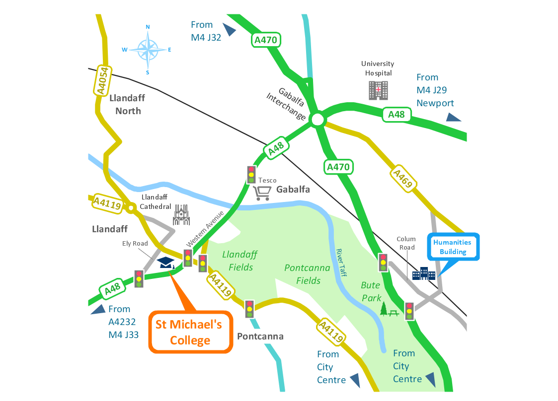
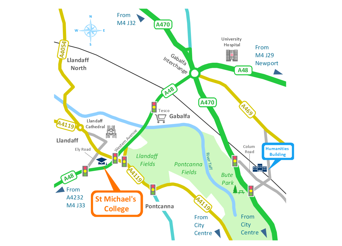
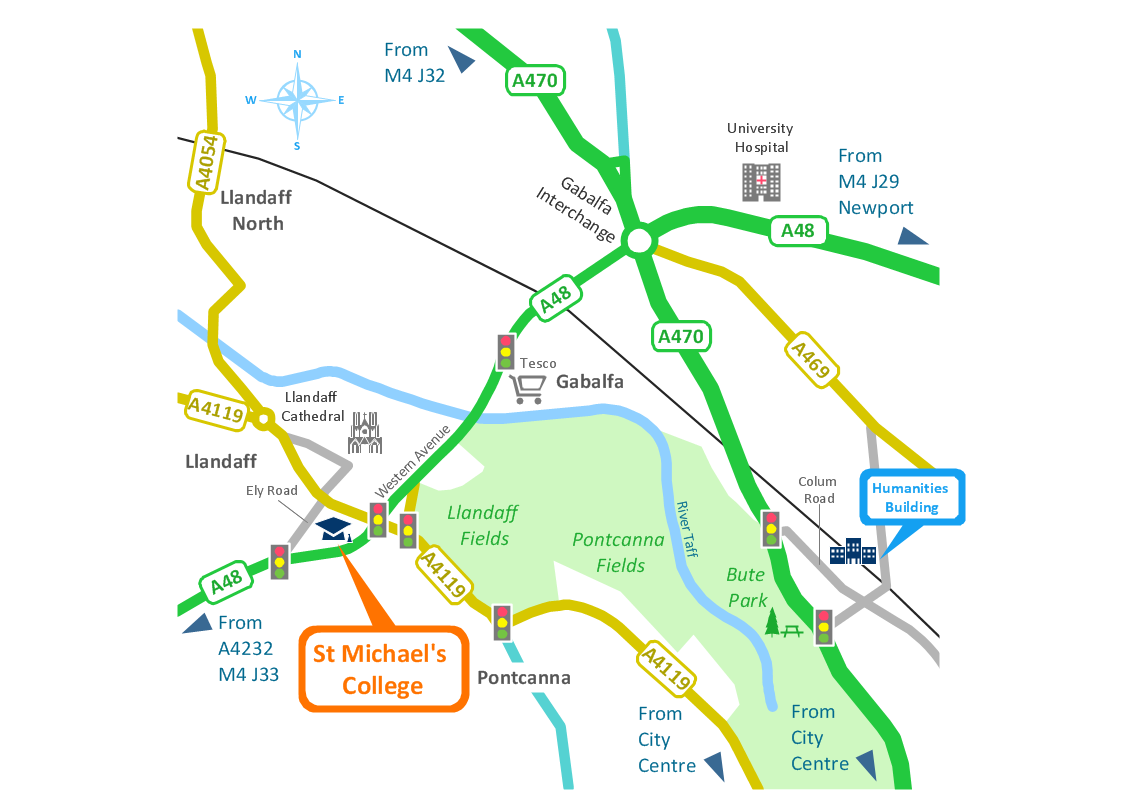
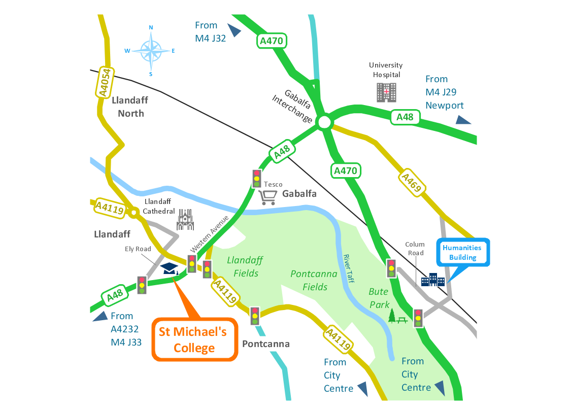
The pictograms example "Design elements - Location map" was created using the ConceptDraw PRO diagramming and vector drawing software extended with the Spatial Infographics solution from the Maps area of ConceptDraw Solution Park.
Spatial infographics Design Elements: Transport Map
Do you like infographics and data visualization? Creating infographics is super-easy with ConceptDraw.Map Infographic Tool
ConceptDraw is a data visualization tool, which can help you to create a map infographics. Anyone can do this, it's that easy!Brilliant Examples of Infographics Map, Transport, Road
ConceptDraw PRO contains spatial infographics samples, map templates to be filled in, and libraries of vector stencils for main design elements of spatial infographics.Geo Map - Africa
Africa has 54 fully recognized sovereign states, 9 territories and two de facto independent states with limited or no recognition. Vector design elements library Africa contains country map contours, geographical maps, cartograms and thematic maps for ConceptDraw PRO diagramming and vector drawing software. To help visualize the business and thematic information connected with geographic areas, locations or customs. All ConceptDraw PRO documents are vector graphic files and are available for reviewing, modifying, and converting to a variety of formats: image, HTML, PDF file, MS PowerPoint Presentation, Adobe Flash, MS Visio (.VDX, .VSDX).Geo Map - Asia - Turkey
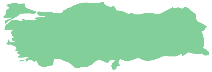
Turkey, officially the Republic of Turkey, is a contiguous transcontinental country, located mostly on Anatolia in Western Asia, and on East Thrace in Southeastern Europe. The vector stencils library Turkey contains contours for ConceptDraw PRO diagramming and vector drawing software. This library is contained in the Continent Maps solution from Maps area of ConceptDraw Solution Park.The vector stencils library "Map symbols" contains 10 spatial infographics symbols.
Use these signs and pictograms for drawing road and transit maps in the ConceptDraw PRO diagramming and vector drawing software extended with the Spatial Infographics solution from the area "What is Infographics" of ConceptDraw Solution Park.
Use these signs and pictograms for drawing road and transit maps in the ConceptDraw PRO diagramming and vector drawing software extended with the Spatial Infographics solution from the area "What is Infographics" of ConceptDraw Solution Park.
Spatial infographics Design Elements: Continental Map
ConceptDraw PRO is a software for making infographics illustrations. You can work with various components to build really impressive and easy-to-understand infographics design.Geo Map - Canada - Nova Scotia
Nova Scotia is one of Canada's three Maritime provinces and constitutes one of the four Atlantic Canada provinces. The vector stencils library Nova Scotia contains contours for ConceptDraw PRO diagramming and vector drawing software. This library is contained in the Continent Maps solution from Maps area of ConceptDraw Solution Park.Types of Map - Overview
ConceptDraw defines some map types, divided into three categories. Every map type has specific shapes and examples.How tо Represent Information Graphically
ConceptDraw Infographics is a great visual tool for communicating the large amounts of data and graphic visualization and representations of data and information.- Design elements - Location map | Road signs - Vector stencils ...
- Map symbols - Vector stencils library | Design elements - Location ...
- Directional Maps | Directions Maps | Conference centre location ...
- Design elements - Location map | Landmarks - Vector stencils ...
- Spatial infographics Design Elements: Location Map | Brilliant ...
- 2D Directional map - Template | Landmarks - Vector stencils library ...
- Geo Map - Asia - Nepal | Asia - Vector stencils library | Location of ...
- Vector Spatial Infographics Map
- Landmarks - Vector stencils library
- Spatial infographics Design Elements: Location Map | Cable TV ...
- Spatial infographics Design Elements: Location Map | Design ...
- Design elements - Location map | Sign Making Software | Map ...
- Location of the Migration Health Assessment Center (MHAC) | Mhac ...
- Spatial infographics Design Elements: Location Map | Brilliant ...
- Map symbols - Vector stencils library
- Value Stream Mapping Symbols | Map symbols - Vector stencils ...
- Travel and tourism pictograms - Vector stencils library | Map symbols ...
- Location Vector Png
- Road signs - Vector stencils library | Ring Network Topology ...
- Location Plan And Vicinity Map Sample


