This vector stencils library contains 31 Oceania state flags.
Use the Oceanian flags clip art to illustrate your business documents, presentation slides, geo maps, web pages and infographics.
The clip art example "Design elements - Oceania country flags" was created using the ConceptDraw PRO diagramming and vector drawing software extended with the Artwork solution from the Illustration area of ConceptDraw Solution Park.
Oceanian flags clip art
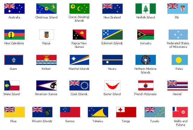
The vector stencils library "Oceania country flags" contains 31 clipart images of Oceanian state flags. Use the Oceania country flags clip art to illustrate your business documents, presentation slides, web pages, geo maps and infographics. The clip art example "Oceania country flags - Vector stencils library" was created using the ConceptDraw PRO diagramming and vector drawing software extended with the Artwork solution from the Illustration area of ConceptDraw Solution Park.
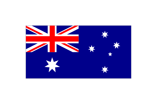
Australia
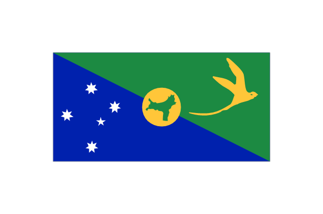
Christmas Island
Cocos (Keeling) Islands
-islands-oceania-flags---vector-stencils-library.png--diagram-flowchart-example.png)
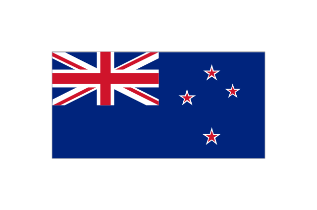
New Zealand
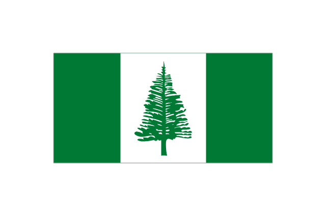
Norfolk Island
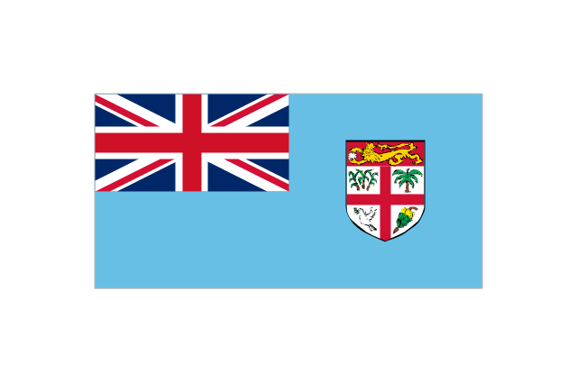
Fiji
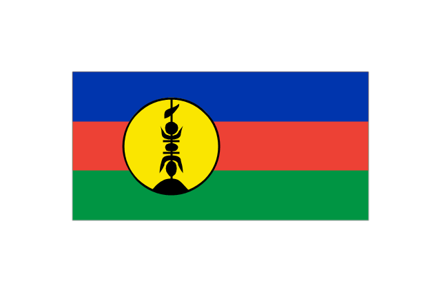
New Caledonia
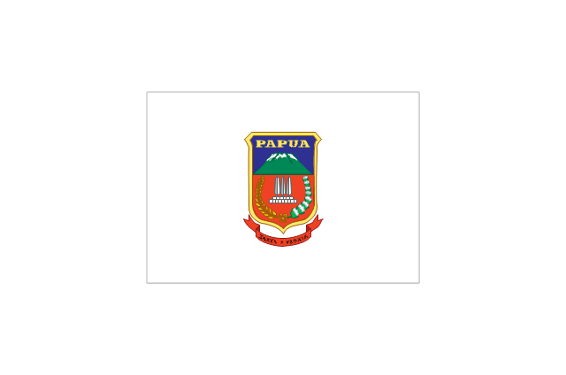
Papua
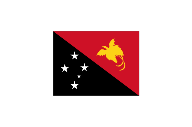
Papua New Guinea
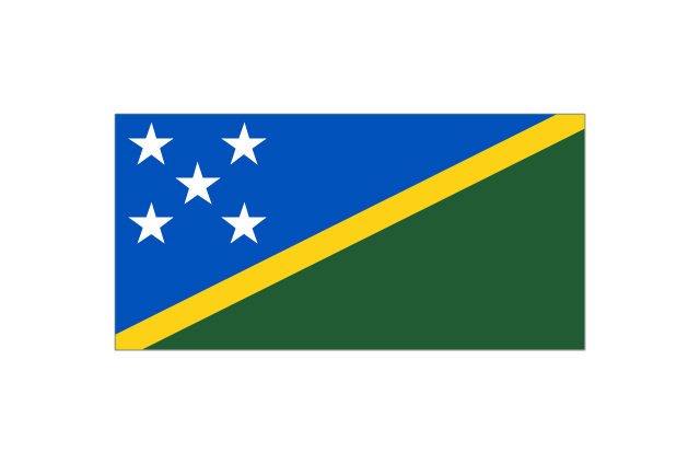
Solomon Islands
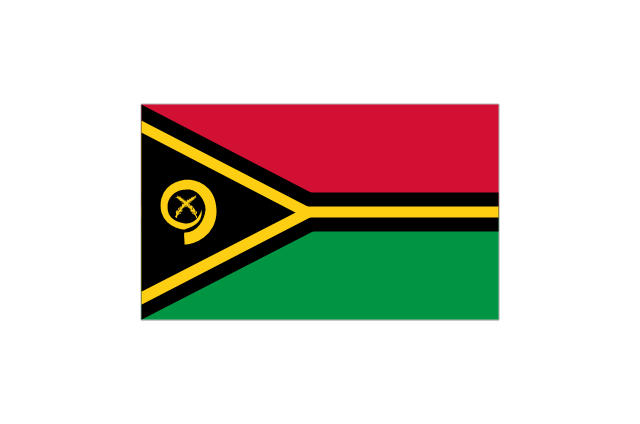
Vanuatu
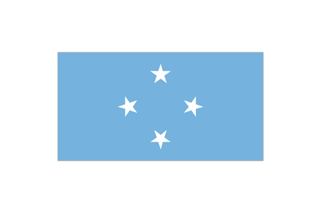
Federated States of Micronesia
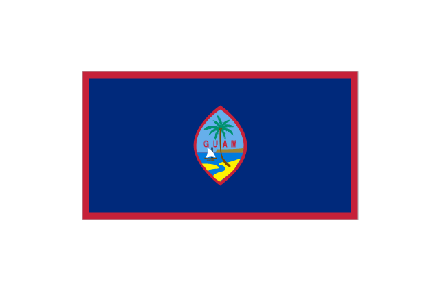
Guam
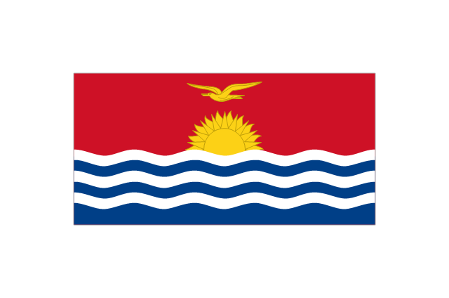
Kiribati
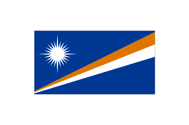
Marshall Islands
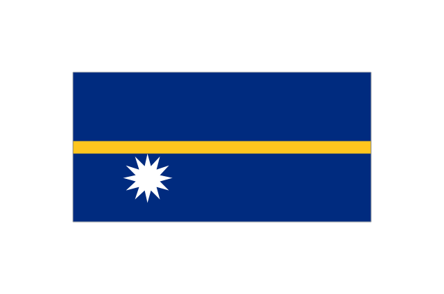
Nauru
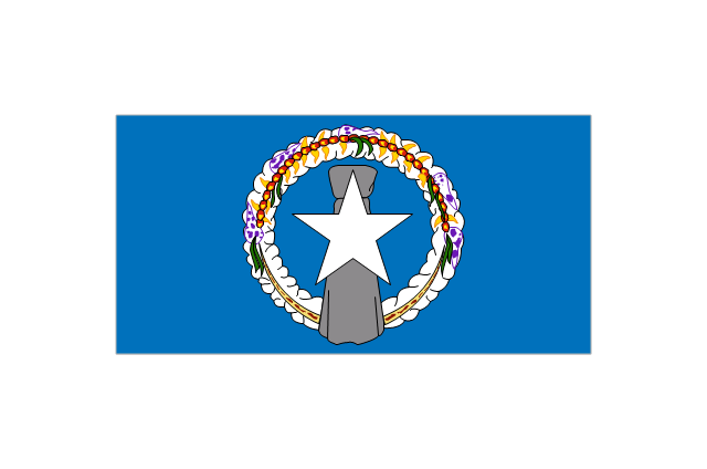
Northern Mariana Islands
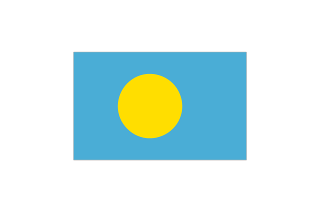
Palau
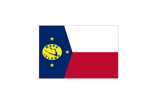
Wake Island
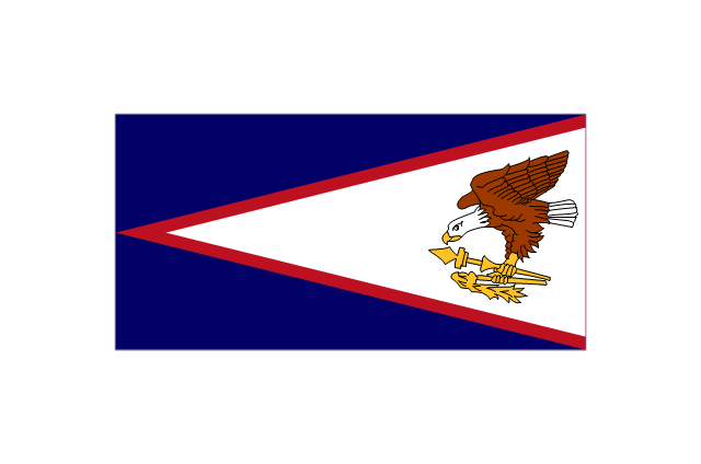
American Samoa
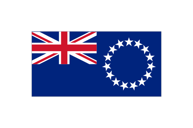
Cook Islands
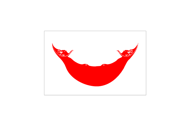
Easter Island
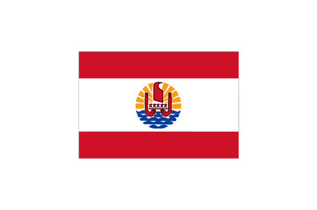
French Polynesia
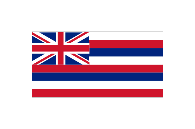
Hawaii
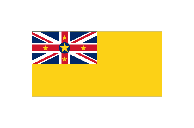
Niue
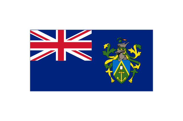
Pitcairn Islands
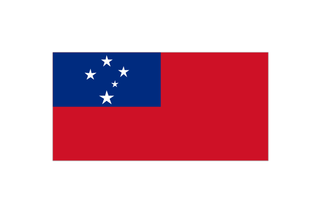
Samoa
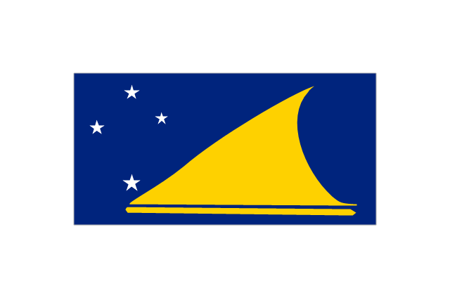
Tokelau
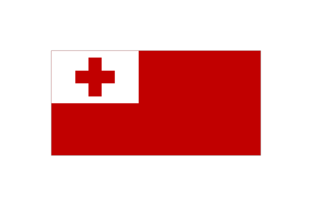
Tonga
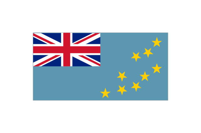
Tuvalu
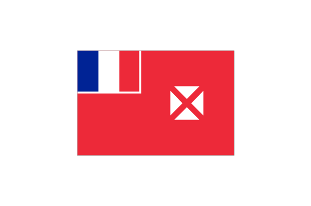
Wallis and Futuna
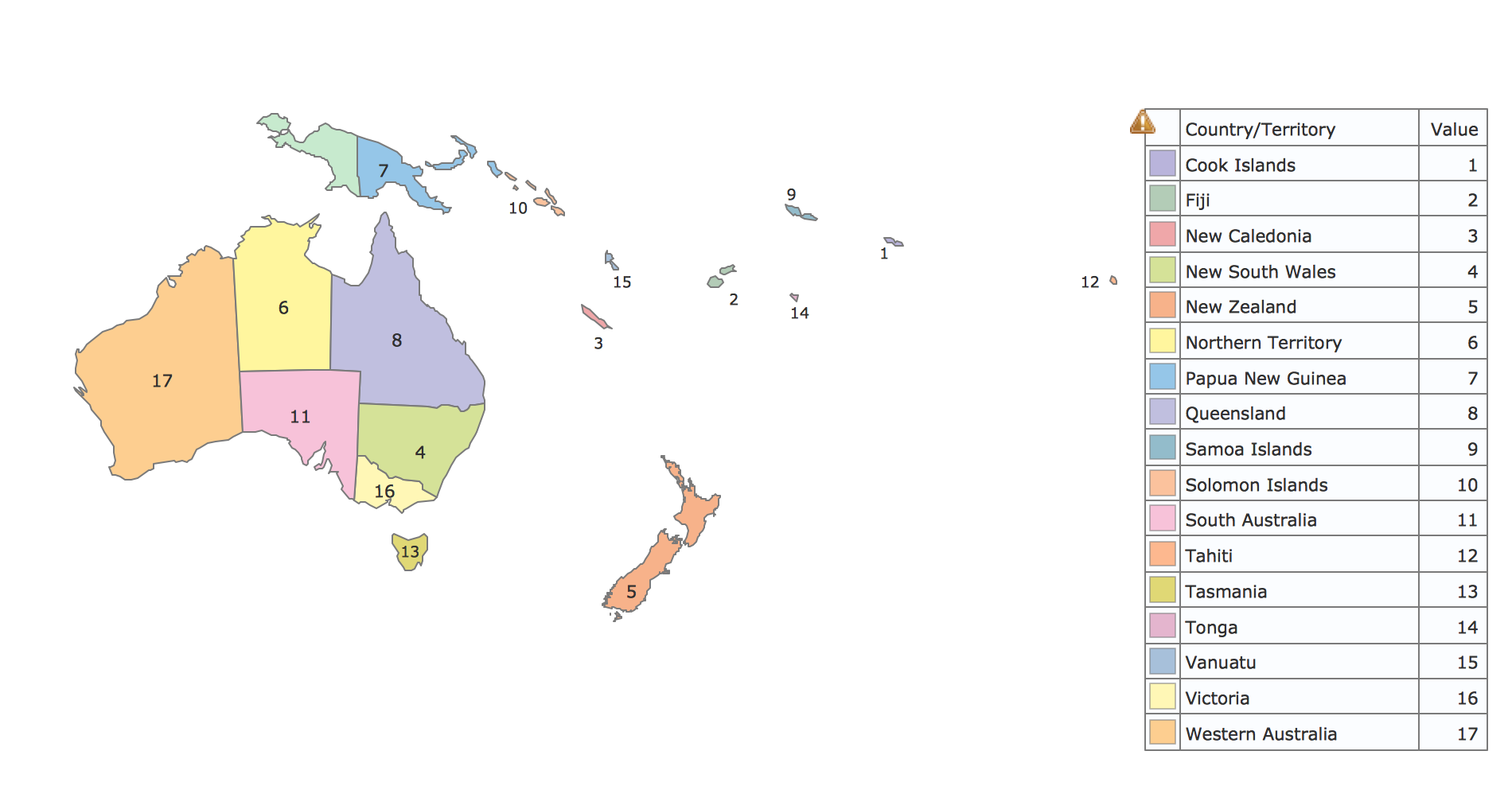
Geo Map - Oceania
Map of Continents

Geo Map — Asia

Infographic Maker

 Continent Maps
Continent Maps solution extends ConceptDraw DIAGRAM software with templates, samples and libraries of vector stencils for drawing the thematic maps of continents, state maps of USA and Australia.
Geo Map - Asia - Mongolia

Geo Map - Asia - Papua New Guinea

Geo Map - Asia - India

- Design elements - Oceania flags | Artwork - Template | Flags From ...
- Design elements - Oceania flags | Geo Map - Oceania | Map ...
- Oceania Flags Of Countries
- Design elements - Oceania flags
- Design elements - Oceania flags | Australia And Oceania All Flag
- Design elements - Oceania flags | Country Flag Oceania
- Oceania flags - Vector stencils library | Design elements - Oceania ...
- Oceania flags - Vector stencils library
- Oceania flags
- Oceania flags - Vector stencils library | Design elements - Oceania ...