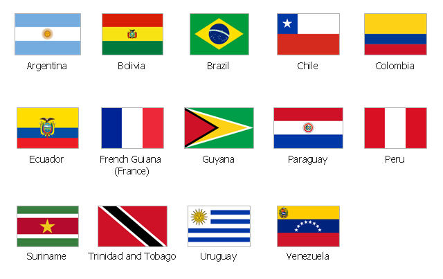
The vector stencils library "South America flags" contains 14 state flags of South American countries.
The clip art example "Design elements - South America flags" was created using the ConceptDraw PRO diagramming and vector drawing software extended with the Continent Maps solution from the Maps area of ConceptDraw Solution Park.
The clip art example "Design elements - South America flags" was created using the ConceptDraw PRO diagramming and vector drawing software extended with the Continent Maps solution from the Maps area of ConceptDraw Solution Park.
South America state flags
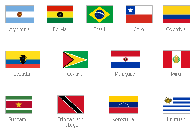
The vector stencils library "South America country flags" contains 13 clipart images of South America state flags.
Use it to create your illustrations, maps, infographics, presentations.
The clip art example "Design elements - South America country flags" was created using the ConceptDraw PRO diagramming and vector drawing software extended with the Artwork solution from the Illustration area of ConceptDraw Solution Park.
State flags clip art
Geo Map — South America Continent

Continents Map

 Continent Maps
Continent Maps solution extends ConceptDraw DIAGRAM software with templates, samples and libraries of vector stencils for drawing the thematic maps of continents, state maps of USA and Australia.
Map of Continents

World Continents Map

Geo Map - Asia - Mongolia

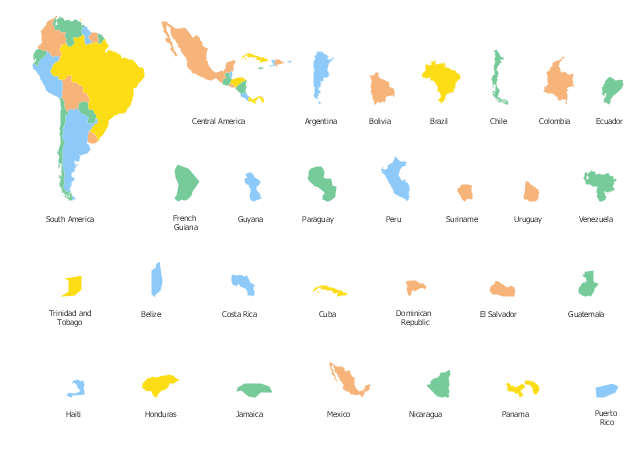
Use the map contours library "South America" to design thematic maps of South American countries using the ConceptDraw PRO diagramming and vector drawing software.
The vector stencils library "South America" contains 29 map contours: South America political map, Central America political map, state map contours of South American countries.
The map contours example "Design elements - South America" is included in the Continent Maps solution from the Maps area of ConceptDraw Solution Park.
South and Central America state map contours
Geo Map - South America - Chile

- Design elements - South America flags
- Design elements - South America flags | South America country ...
- South America flags - Stencils library | Design elements - South ...
- South America country flags - Vector stencils library | Design ...
- Design elements - North and Central America flags | Geo Map ...
- Design elements - North and Central America country flags | Design ...
- Design elements - South America country flags
- South America flags - Stencils library | South America country flags ...
- South America country flags - Vector stencils library | South America ...
- South America flags - Stencils library | Africa flags - Stencils library ...