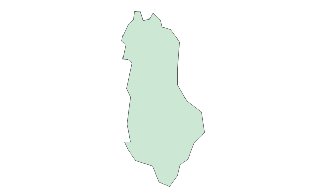
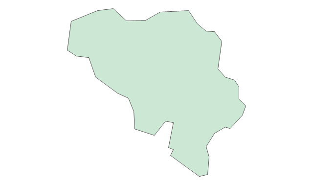
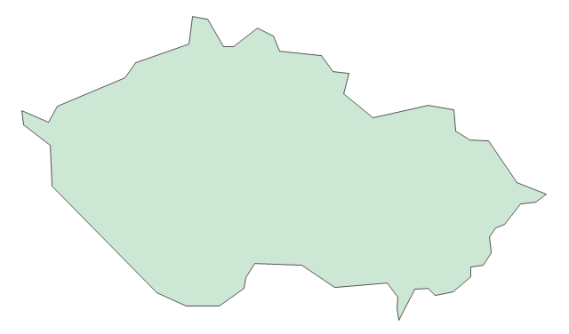
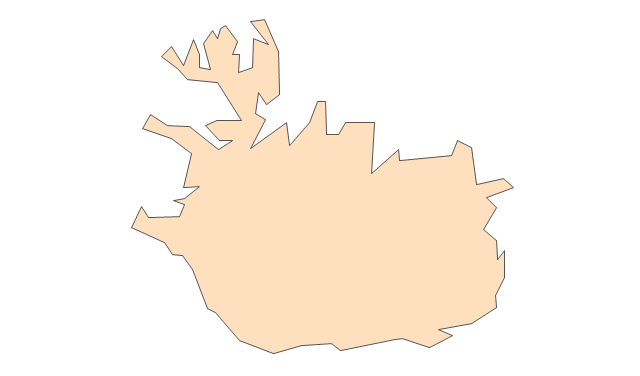
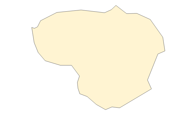
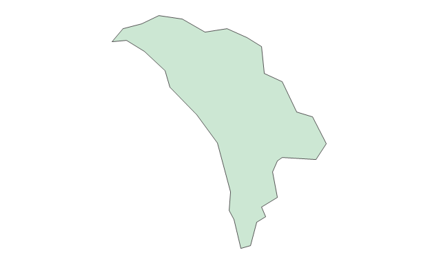
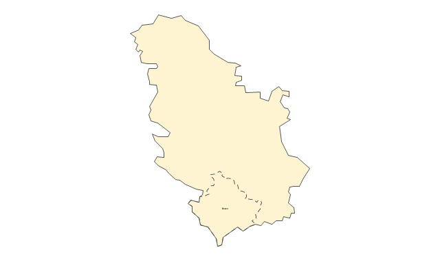
Geo Map - Europe - Croatia

The vector stencils library "European country flags" contains 51 clipart images of Europe state flags.
Use the European country flags clip art to illustrate your business documents, presentation slides, web pages, geo maps and infographics.
The clip art example "European country flags - Vector stencils library" was created using the ConceptDraw PRO diagramming and vector drawing software extended with the Artwork solution from the Illustration area of ConceptDraw Solution Park.
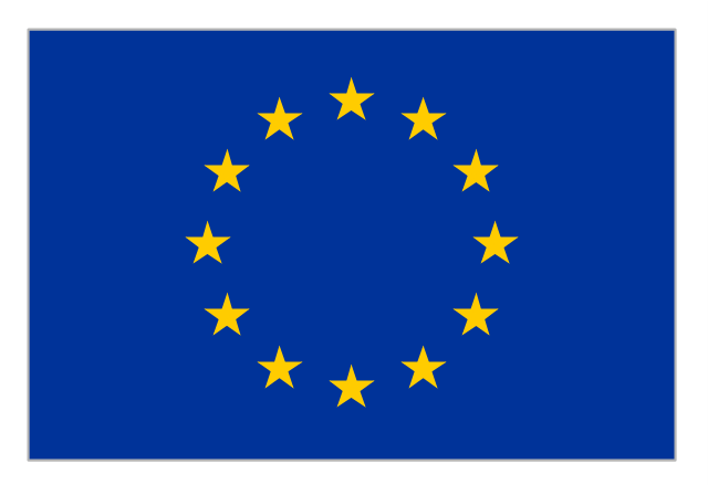
Flag of Europe
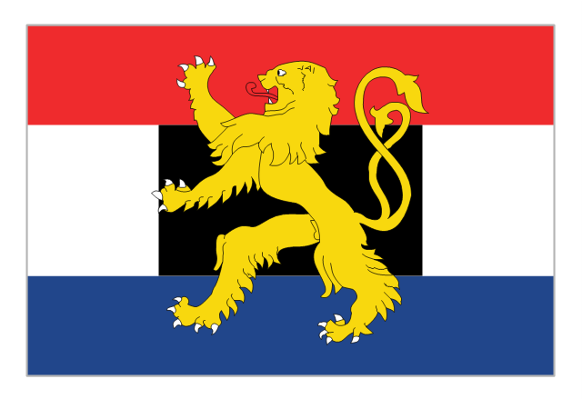
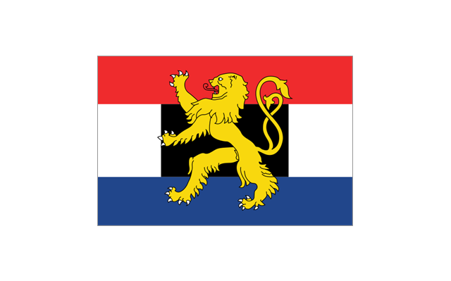
Flag of Benelux
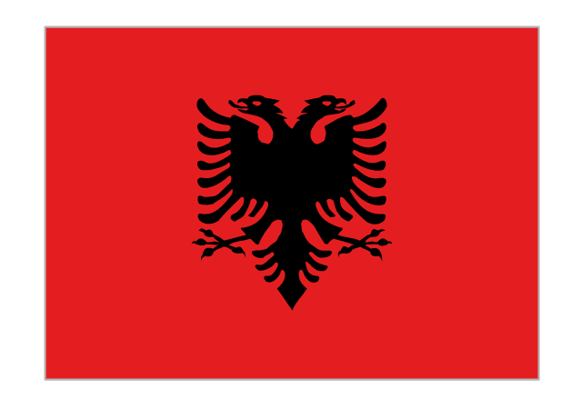
Flag of Albania
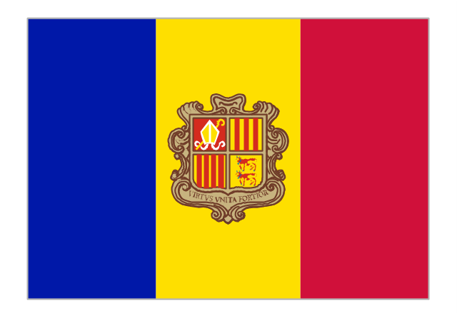
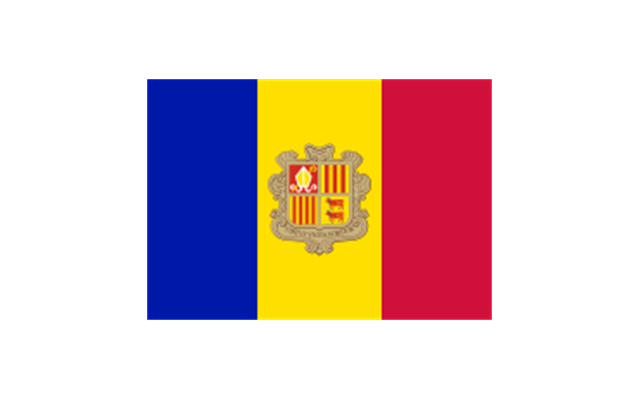
Flag of Andorra
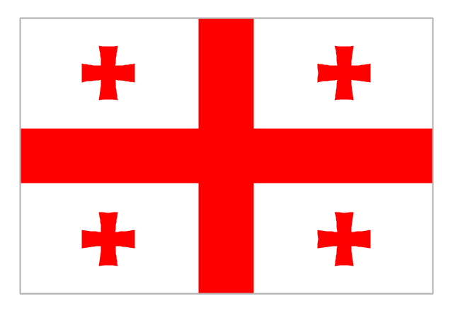
Flag of Armenia
Flag of Austria

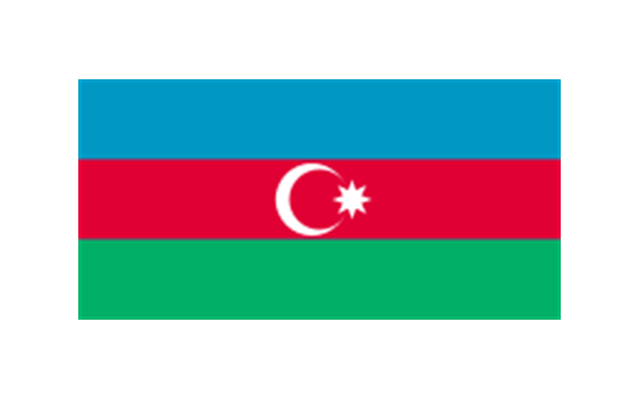
Flag of Azerbaijan
Flag of Belarus

Flag of Belgium
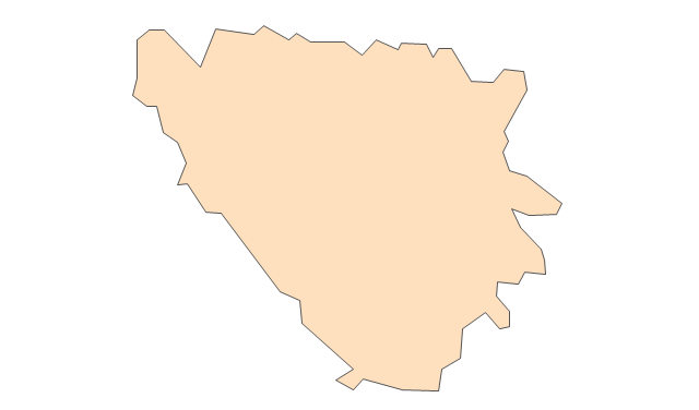
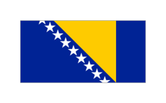
Flag of Bosnia and Herzegovina
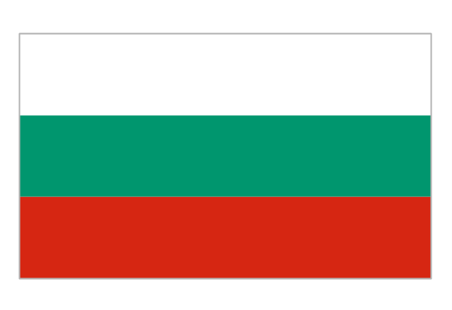
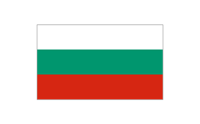
Flag of Bulgaria
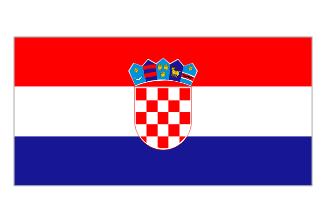
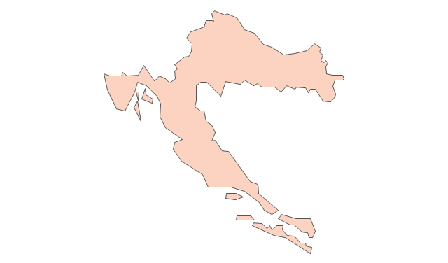
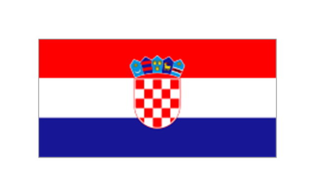
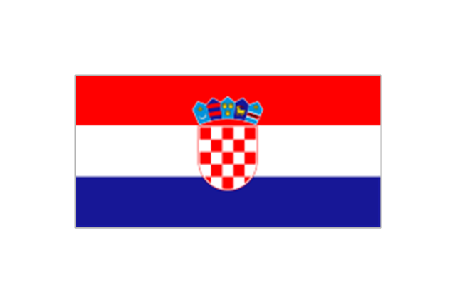
Flag of Croatia
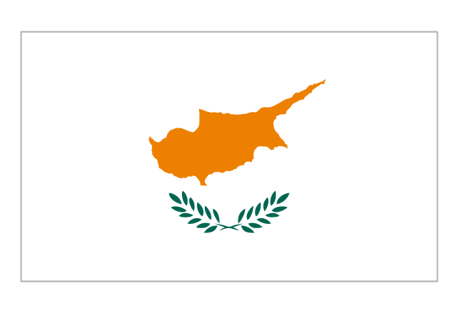
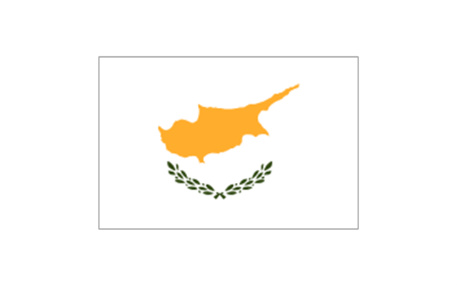
Flag of Cyprus
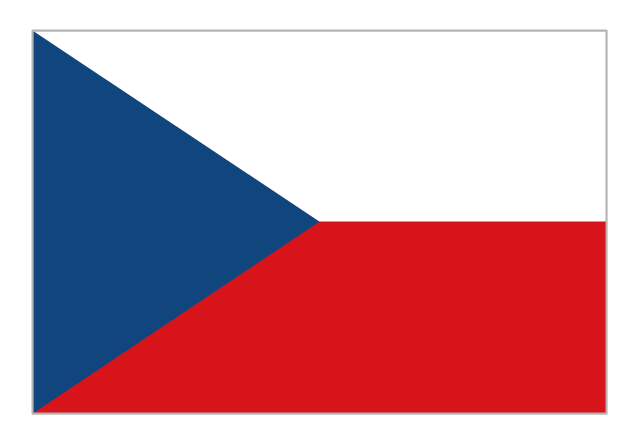
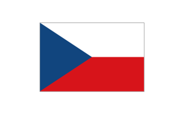
Flag of Czech Republic
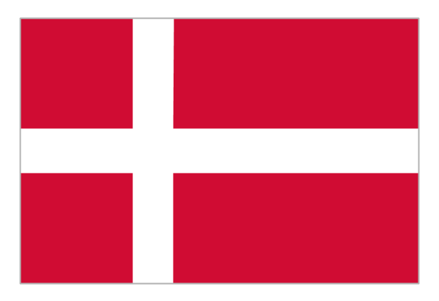
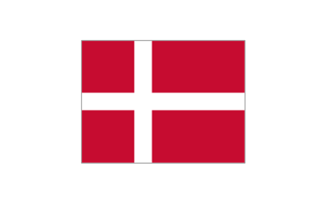
Flag of Denmark
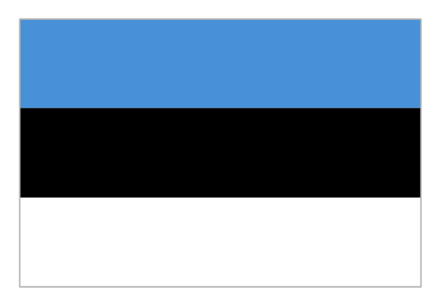
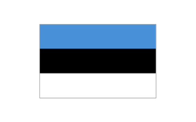
Flag of Estonia
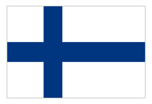
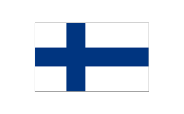
Flag of Finland
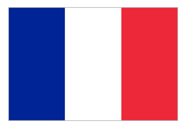
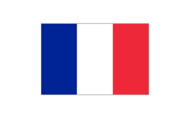
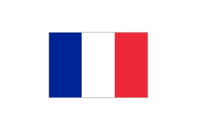
Flag of France
Flag of Georgia
Flag of Germany

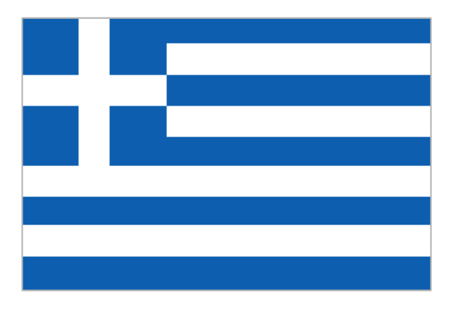
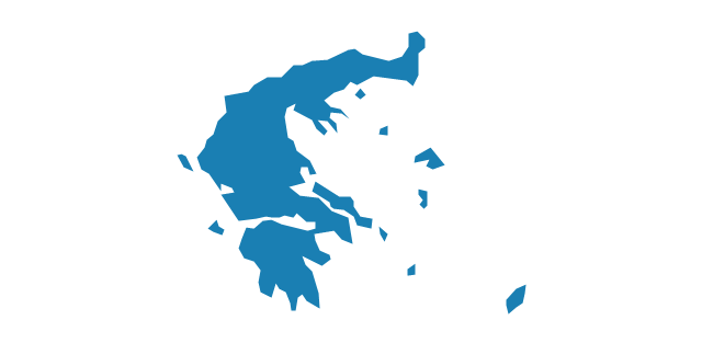
Flag of Greece
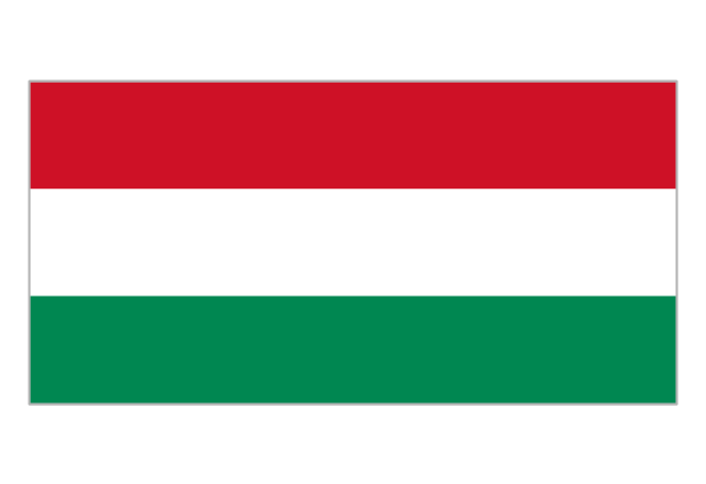
Flag of Hungary
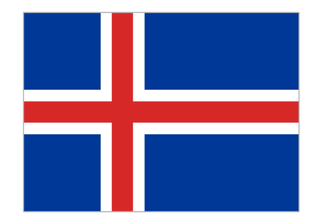
Flag of Iceland
Flag of Ireland
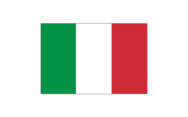
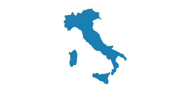
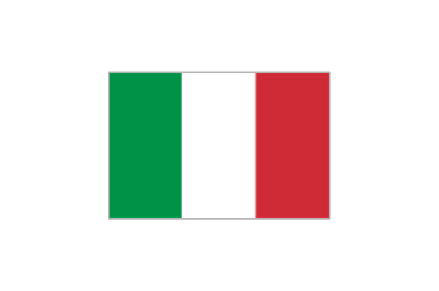
Flag of Italy
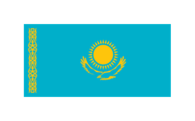
Flag of Kazakhstan
Flag of Latvia

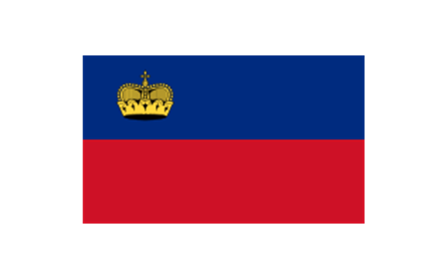
Flag of Liechtenstein
Flag of Lithuania

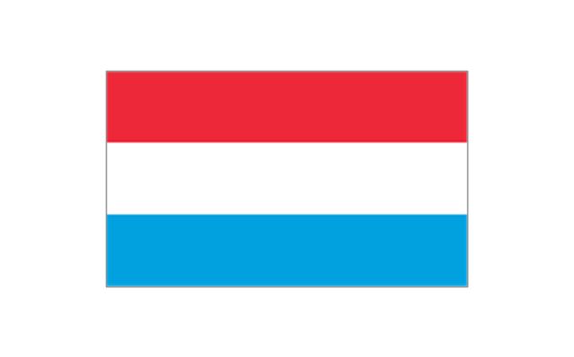
Flag of Luxembourg

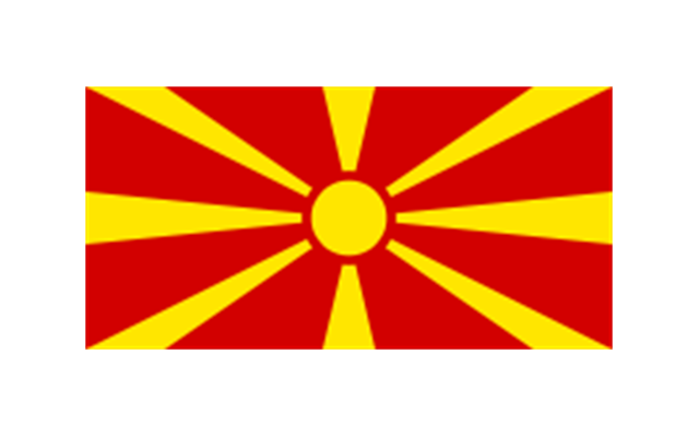
Flag of the Republic of Macedonia
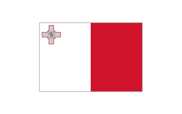
Flag of Malta
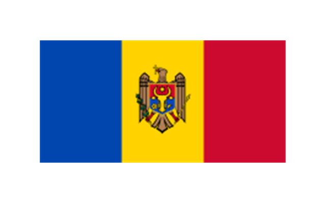
Flag of Moldova
Flag of Monaco
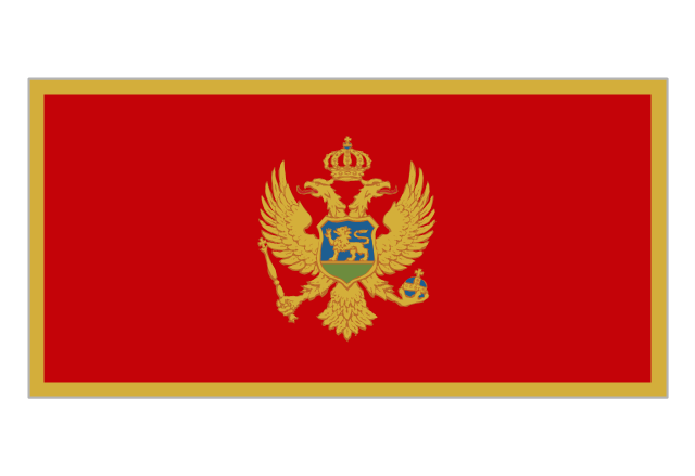
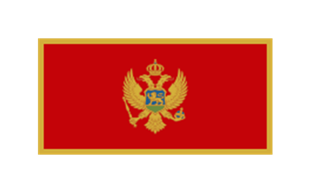
Flag of Montenegro
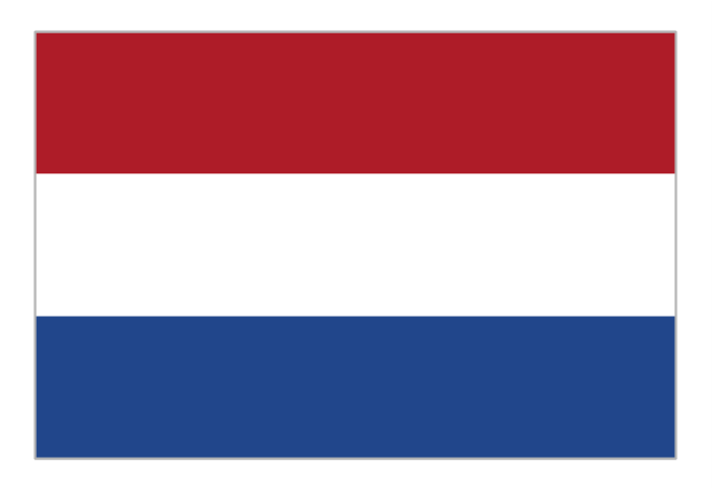
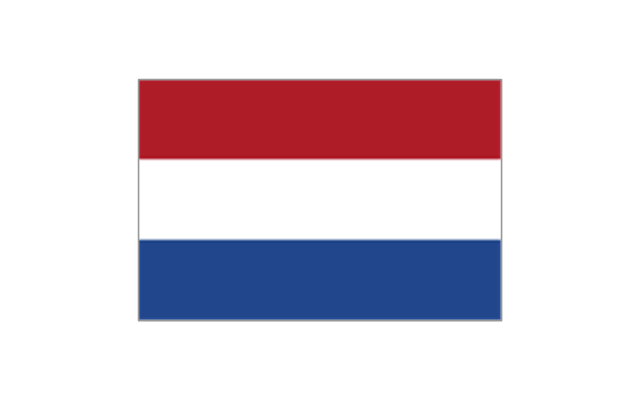
Flag of the Netherlands
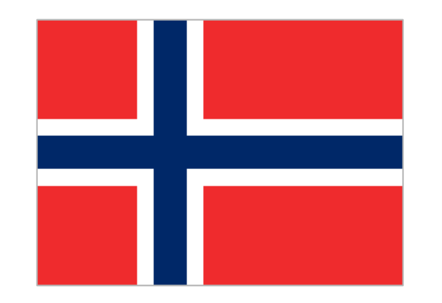
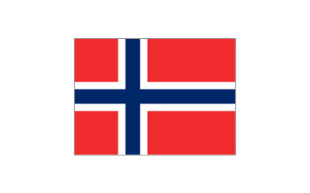
Flag of Norway
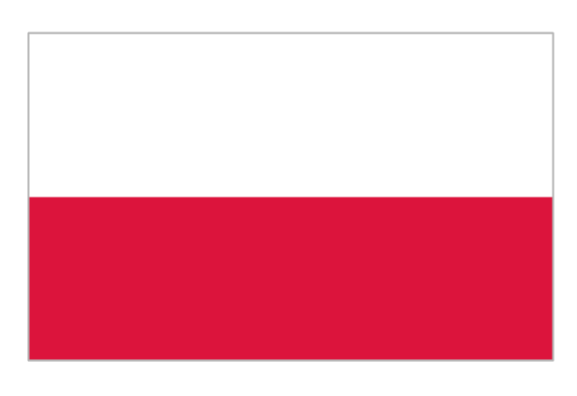
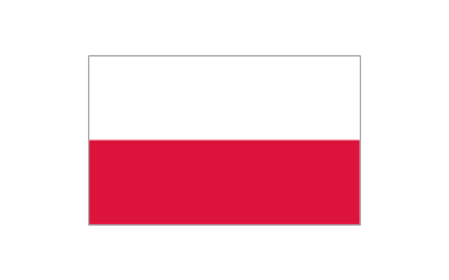
Flag of Poland
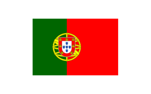
Flag of Portugal
Flag of Romania
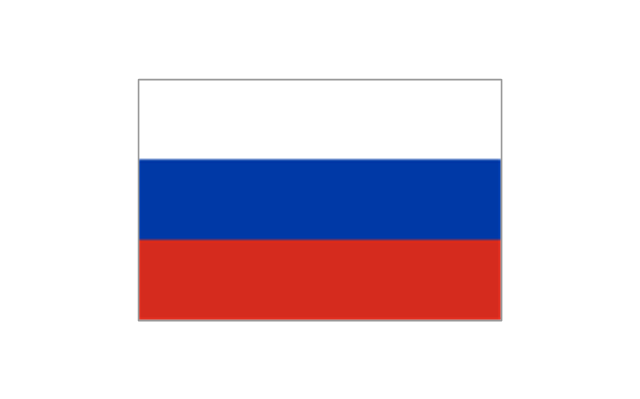
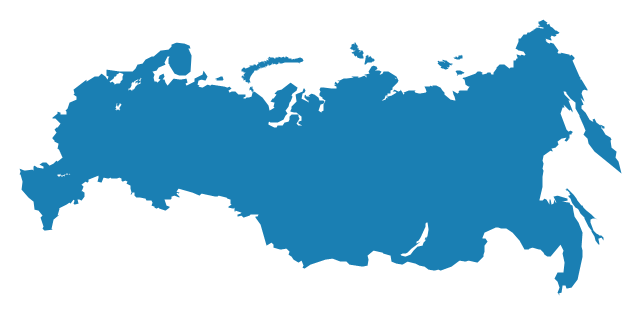
Flag of Russia
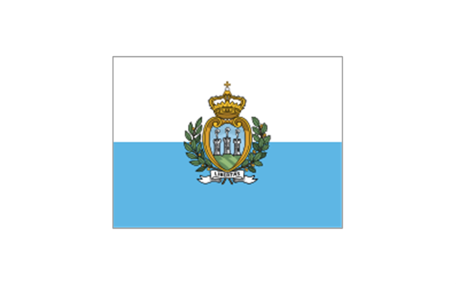
Flag of San Marino
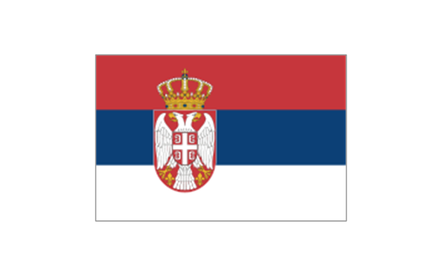
Flag of Serbia
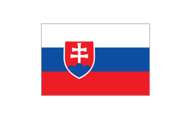
Flag of Slovakia
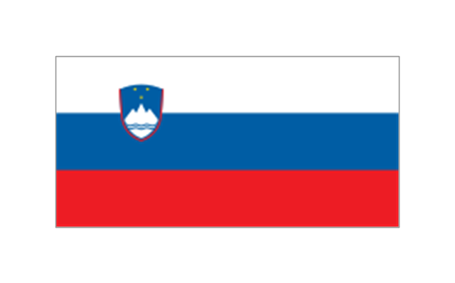
Flag of Slovenia
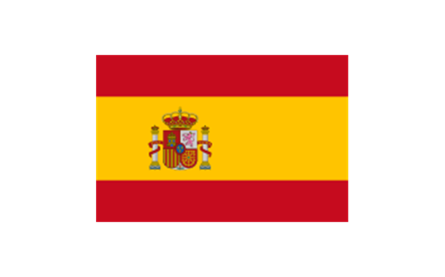
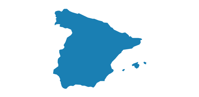
Flag of Spain
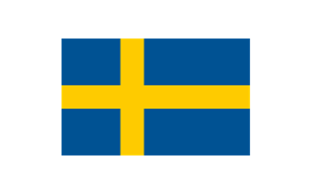
Flag of Sweden
Flag of Switzerland

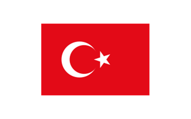
Flag of Turkey
Flag of Ukraine
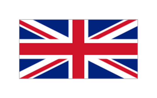
Flag of the United Kingdom
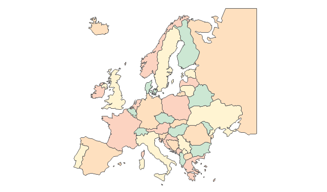
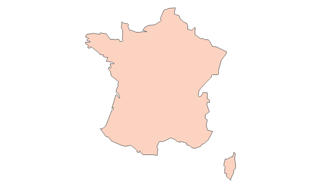
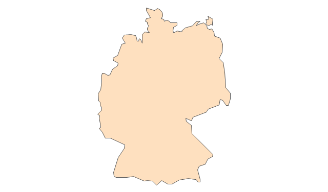
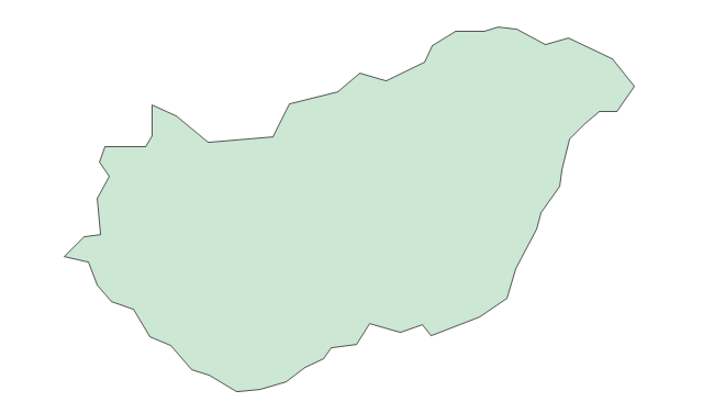
The vector stencils library "Europe" contains 45 state map contours for drawing thematic maps of Europe. Use it in your spatial infographics for visual representation of geospatial information, statistics and quantitative data.
"There are 50 internationally recognised sovereign states with territory located within the common definition of Europe and/ or membership in international European organisations, of which 44 have their capital city within Europe. All except the Vatican City are members of the United Nations (UN), and all except Belarus, Kazakhstan and Vatican City are members of the Council of Europe. Since 2013, 28 of these countries are also member states of the EU, which means they are highly integrated with each other and share their sovereignty with EU institutions." [List of sovereign states and dependent territories in Europe. Wikipedia]
The state map contours example "Europe - Vector stencils library" was created using the ConceptDraw PRO diagramming and vector drawing software extended with the Continent Maps solution from the Maps area of ConceptDraw Solution Park.
Europe
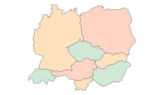
Central Europe
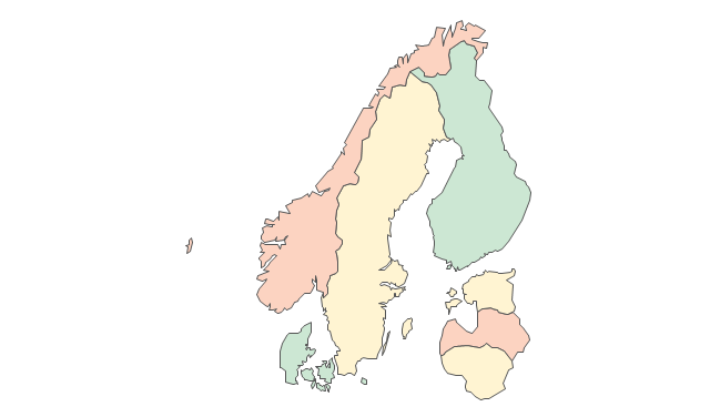
Scandanavia
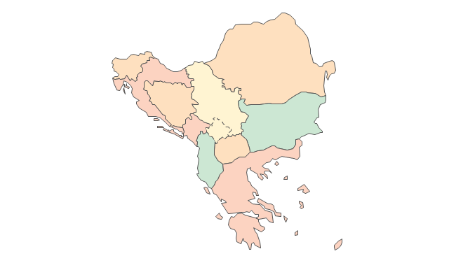
Balkans
Benelux
Albania
Austria
Belarus
Belgium
Bosnia and Herzegovina
Bulgaria
Croatia
Czech Republic
Denmark
Estonia
Finland
France
Germany
Greece
Hungary
Iceland
Ireland
Italy
Latvia
Lithuania
Luxembourg
Macedonia
Malta
Moldova
Montenegro
Netherlands
Norway
Poland
Portugal
Romania
Russia
Russia (European)
-europe---vector-stencils-library.png--diagram-flowchart-example.png)
Serbia
Slovakia
Slovenia
Spain
Sweden
Switzerland
Ukraine
United Kingdom
The stencils library "Europe flags" contains 51 clipart images of Europe state flags: supranational and international flags, flags of European countries.
The clip art example "Europe flags - Stencils library" was created using the ConceptDraw PRO diagramming and vector drawing software extended with the Continent Maps solution from the Maps area of ConceptDraw Solution Park.
www.conceptdraw.com/ solution-park/ maps-continent
The clip art example "Europe flags - Stencils library" was created using the ConceptDraw PRO diagramming and vector drawing software extended with the Continent Maps solution from the Maps area of ConceptDraw Solution Park.
www.conceptdraw.com/ solution-park/ maps-continent
European Union

Benelux
Albania

Andorra
Armenia

Austria

Azerbaijan
Belarus

Belgium

Bosnia and Herzegovina
Bulgaria
Croatia
Cyprus
Czech Republic
Denmark
Estonia
Finland
France
Georgia
Germany

Greece

Hungary
Iceland
Ireland
Italy
Kazakhstan
Latvia

Liechtenstein
Lithuania

Luxembourg
Republic of Macedonia
Malta
Moldova
Monaco
Montenegro
Netherlands
Norway
Poland
Portugal
Romania

Russia
San Marino
Serbia
Slovakia
Slovenia
Spain
Sweden
Switzerland

Turkey
Ukraine

United Kingdom
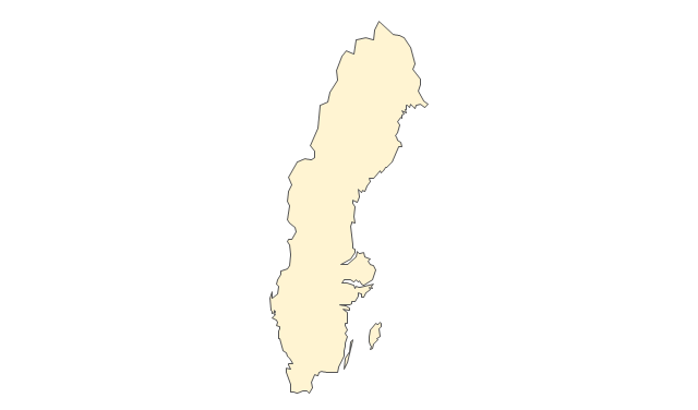
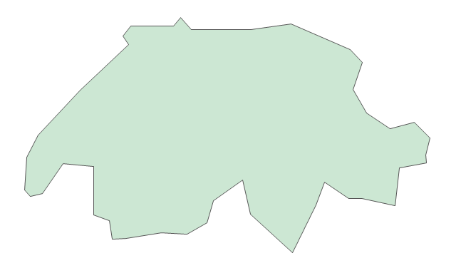
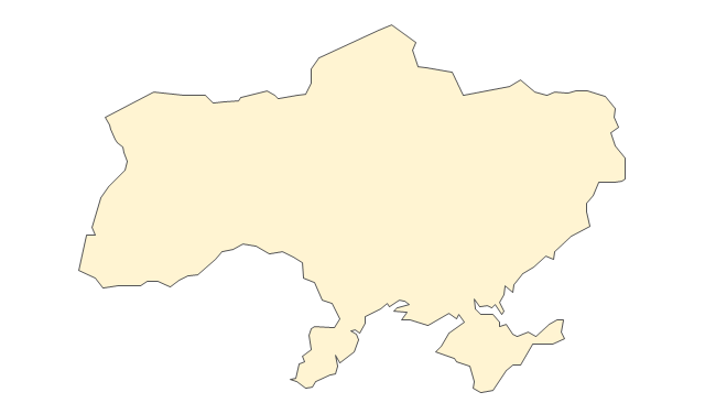
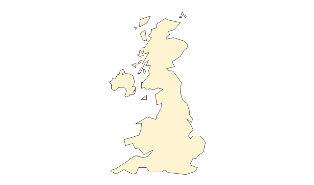
The vector stencils library "Europe" contains 39 country contours for drawing thematic maps of Europe.
Use it in your spatial infographics for visual representation of geospatial information, statistics and quantitative data in the ConceptDraw PRO diagramming and vector drawing software extended with the Spatial Infographics solution from the area "What is Infographics" of ConceptDraw Solution Park.
Use it in your spatial infographics for visual representation of geospatial information, statistics and quantitative data in the ConceptDraw PRO diagramming and vector drawing software extended with the Spatial Infographics solution from the area "What is Infographics" of ConceptDraw Solution Park.
Europe

Albania

Austria

Belarus

Belgium

Bosnia and Herzegovina

Bulgaria

Croatia

Czech Republic

Denmark

Estonia

Finland

France

Germany

Greece
Hungary

Iceland

Ireland

Italy
Latvia

Lithuania

Luxembourg

Macedonia

Moldova

Montenegro

Netherlands

Norway

Poland

Portugal

Romania

Russia
Serbia

Slovakia

Slovenia

Spain
Sweden

Switzerland

Ukraine
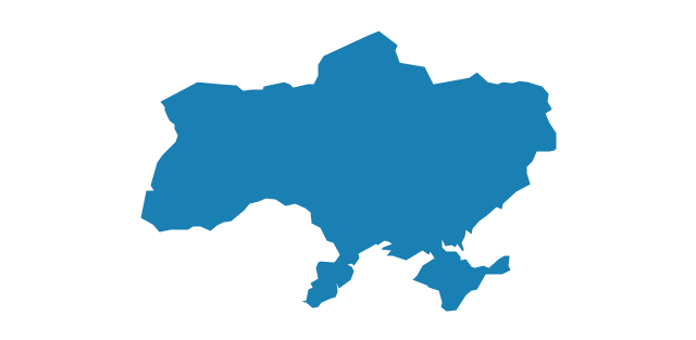
United Kingdom

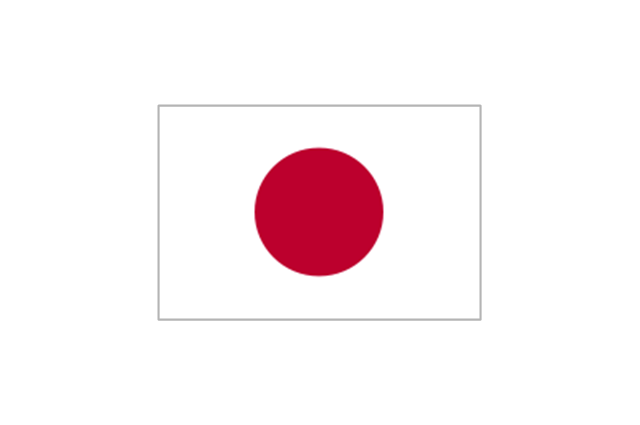
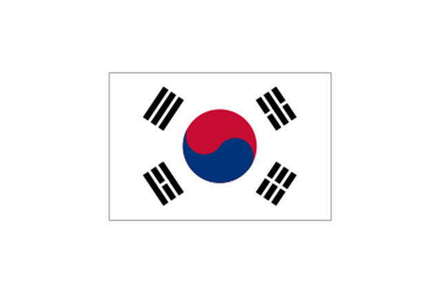
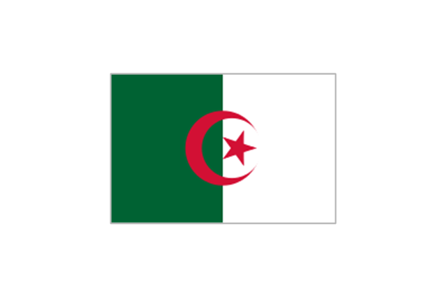
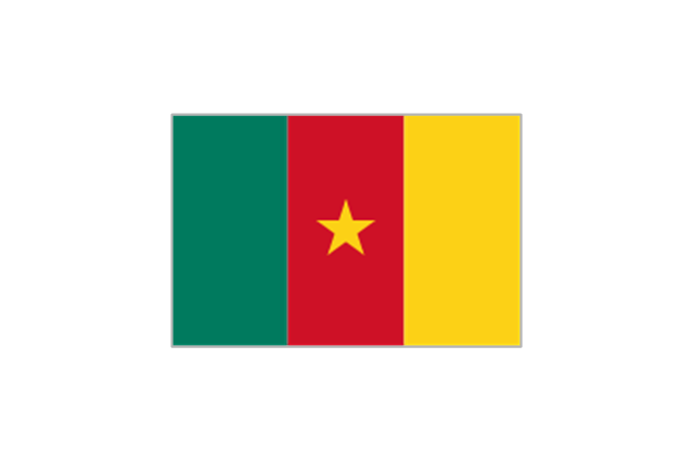
The vector stencils library "FIFA World Cup 2014 team flags" contains 32 FIFA World Cup 2014 team flags clipart.
Use these shapes to draw your FIFA World Cup infographics and illustrations in the ConceptDraw PRO diagramming and vector drawing software extended with the Soccer solution from the Sport area of ConceptDraw Solution Park.
www.conceptdraw.com/ solution-park/ sport-soccer
Use these shapes to draw your FIFA World Cup infographics and illustrations in the ConceptDraw PRO diagramming and vector drawing software extended with the Soccer solution from the Sport area of ConceptDraw Solution Park.
www.conceptdraw.com/ solution-park/ sport-soccer
Australia

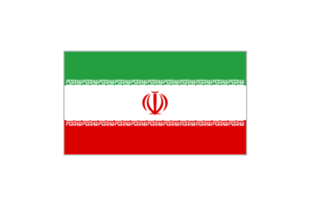
Iran
Japan
South Korea
Algeria
Cameroon
Ghana

Ivory Coast
Nigeria
Costa Rica
Honduras
Mexico
United States

Argentina
Brazil
Chile
Colombia
Ecuador
Uruguay
Belgium

Bosnia and Herzegovina
Croatia
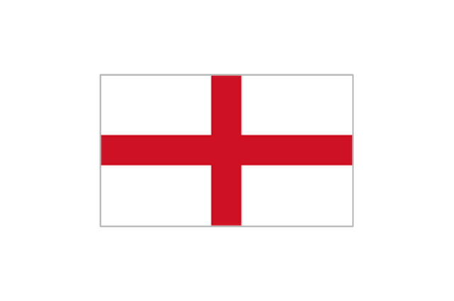
England
France
Germany

Greece

Italy
Netherlands
Portugal
Russia
Spain
Switzerland

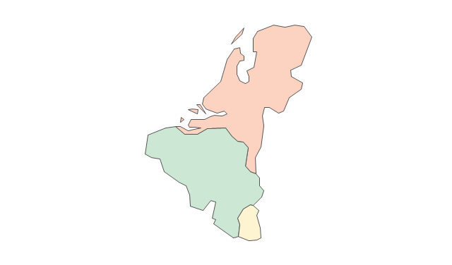
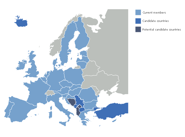
"The 2013 enlargement of the European Union saw Croatia join the European Union as their 28th member state on 1 July 2013.
Croatia is the second former Yugoslav republic to join the European Union after a decade-long negotiation process. The country applied for EU membership in 2003, and the European Commission recommended making it an official candidate in early 2004. Candidate country status was granted to Croatia by the European Council in mid-2004. The entry negotiations, while originally set for March 2005, began in October that year together with the screening process." [2013 enlargement of the European Union. Wikipedia]
This Europe map example was redesigned using ConceptDraw PRO diagramming and vector drawing software from the Wikimedia Commons file: EU28-candidate countries map.svg.
[commons.wikimedia.org/ wiki/ File:EU28-candidate_ countries_ map.svg]
The Europe political map example "EU 28: Candidate countries map" is included in the Continent Maps solution from the Maps area of ConceptDraw Solution Park.
Political map - European Union
The vector stencils library "Europe" contains 39 country contours for drawing thematic maps of Europe.
Use it in your spatial infographics for visual representation of geospatial information, statistics and quantitative data in the ConceptDraw PRO diagramming and vector drawing software extended with the Spatial Infographics solution from the area "What is Infographics" of ConceptDraw Solution Park.
Use it in your spatial infographics for visual representation of geospatial information, statistics and quantitative data in the ConceptDraw PRO diagramming and vector drawing software extended with the Spatial Infographics solution from the area "What is Infographics" of ConceptDraw Solution Park.
Europe
Albania
Austria
Belarus
Belgium
Bosnia and Herzegovina
Bulgaria
Croatia
Czech Republic
Denmark
Estonia
Finland
France
Germany
Greece
Hungary
Iceland
Ireland
Italy
Latvia
Lithuania
Luxembourg
Macedonia
Moldova
Montenegro
Netherlands
Norway
Poland
Portugal
Romania
Russia
Serbia
Slovakia
Slovenia
Spain
Sweden
Switzerland
Ukraine
United Kingdom
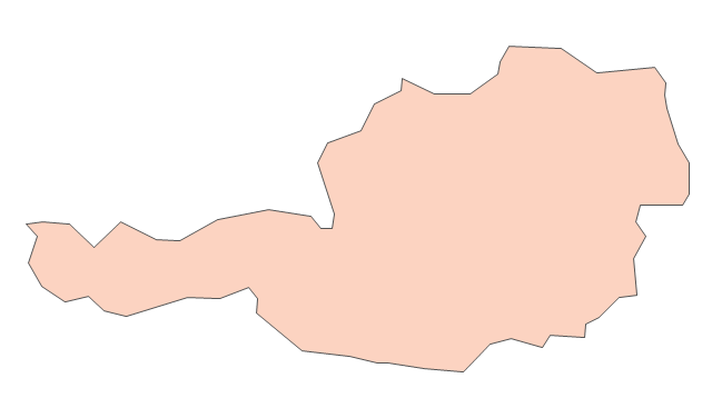
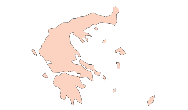
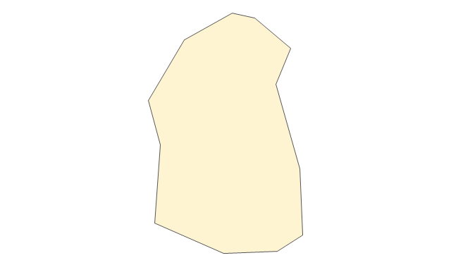
Geo Map - Europe - Greece

The vector stencils library Greece contains contours for ConceptDraw PRO diagramming and vector drawing software. This library is contained in the Continent Maps solution from Maps area of ConceptDraw Solution Park.
The vector stencils library "Management maps" contains 44 map contours: G-20 state maps, EU state maps and world map.
Use it to create your management infogram in the ConceptDraw PRO diagramming and vector drawing software.
The state map contours example "Management maps - Vector stencils library" is included in the solution "Marketing infographics" from the "Business infographics" area of ConceptDraw Solution Park.
World map

Argentina

Australia

Austria

Belgium

Brazil

Bulgaria

Canada

China

Croatia

Cyprus

Czech Republic

Denmark

Estonia

Finland

France

Germany

Greece

Hungary

Indonesia

India

Ireland

Italy

Latvia

Japan

Lithuania

Luxembourg

Malta

Mexico

Poland

Portugal

Romania

Russia

Saudi Arabia

Slovakia

Slovenia

South Africa

South Korea

Spain

Sweden

The Netherlands

Turkey

United Kingdom

United States

The vector stencils library "Education maps" contains 44 map contours: G-20 state maps, EU state maps and world map.
Use it to visualize geospatial information in your education infograms.
The vector stencils library "Education maps" is included in the Education Infographics solution from the Business Infographics area of ConceptDraw Solution Park.
Use it to visualize geospatial information in your education infograms.
The vector stencils library "Education maps" is included in the Education Infographics solution from the Business Infographics area of ConceptDraw Solution Park.
World map

Argentina

Australia

Austria

Belgium

Brazil

Bulgaria

Canada

China

Croatia

Cyprus

Czech Republic

Denmark

Estonia

Finland

France

Germany

Greece

Hungary

India

Indonesia

Ireland

Italy

Japan

Latvia

Lithuania

Luxembourg

Malta

Mexico

Poland

Portugal

Romania

Russia

Saudi Arabia

Slovakia

Slovenia

South Africa

South Korea

Spain

Sweden

The Netherlands

Turkey

United Kingdom

United States

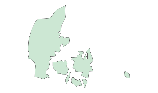
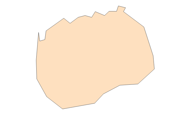
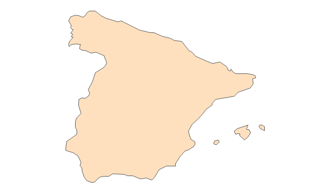
Geo Map - Europe - Spain

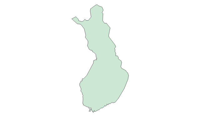
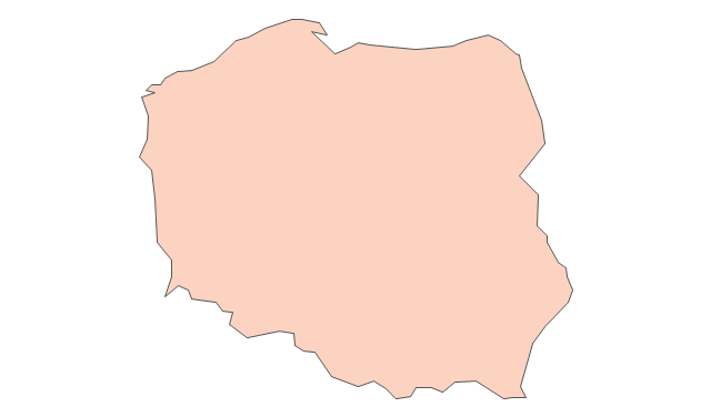
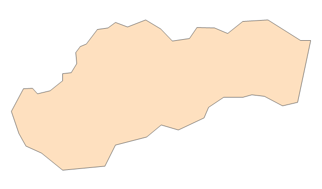
Geo Map - Europe - Poland

The vector stencils library "FIFA World Cup 2014 team flags" contains 32 FIFA World Cup 2014 team flags clipart.
Use these shapes to draw your FIFA World Cup infographics and illustrations in the ConceptDraw PRO diagramming and vector drawing software extended with the Soccer solution from the Sport area of ConceptDraw Solution Park.
www.conceptdraw.com/ solution-park/ sport-soccer
Use these shapes to draw your FIFA World Cup infographics and illustrations in the ConceptDraw PRO diagramming and vector drawing software extended with the Soccer solution from the Sport area of ConceptDraw Solution Park.
www.conceptdraw.com/ solution-park/ sport-soccer
Australia
Iran
Japan
South Korea
Algeria
Cameroon
Ghana
Ivory Coast
Nigeria
Costa Rica
Honduras
Mexico
United States
Argentina
Brazil
Chile
Colombia
Ecuador
Uruguay
Belgium
Bosnia and Herzegovina
Croatia
England
France
Germany
Greece
Italy
Netherlands
Portugal
Russia
Spain
Switzerland
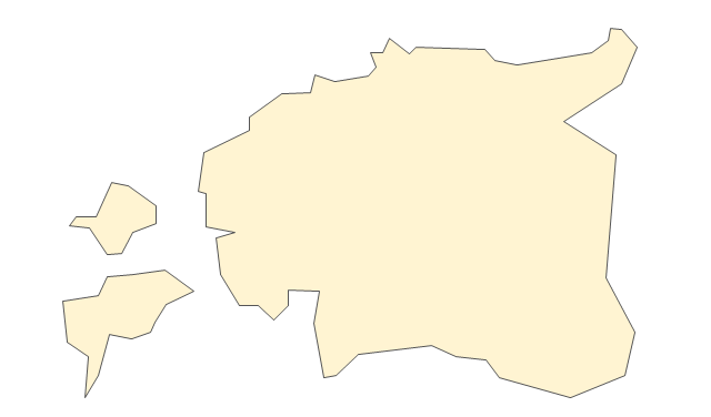
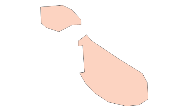
Geo Map - Canada - Newfoundland and Labrador

The vector stencils library Newfoundland and Labrador contains contours for ConceptDraw PRO diagramming and vector drawing software. This library is contained in the Continent Maps solution from Maps area of ConceptDraw Solution Park.
- Geo Map - Europe - Croatia
- Croatia World Map Wiki
- Flag of Croatia
- Croatia
- Political map of Europe | Switzerland Austria Slovenia Croatia San ...
- Geo Map - Europe - Croatia | Geo Map - USA - Wisconsin | Geo Map ...
- European City Maps
- Geo Map - Europe - Austria | Geo Map - Europe - Croatia | Geo Map ...
- Europe flags - Stencils library
- Croatia
- Croatia
- European membership of the EU and NATO map | EU 28: Candidate ...
- Europe - Vector stencils library | Education maps - Vector stencils ...
- European membership of the EU and NATO map | Geo Map ...
- Geo Map - Europe - Greece
- Geo Map - Europe - Romania | Design elements - Education maps ...
- Slovenia In The Map Of Europe
- Geo Map - Europe | EU 28: Candidate countries map | European ...
- Eu 28 Candidate Countries Map Svg