The stencils library "South America flags" contains 14 clipart images of South American countries state flags.
"... flags of South American countries and affiliated international organizations.
International: Flag of the Andean Community of Nations, Flag of the European Union, Flag of Mercosur, Flag of OPEC, Flag of the Organisation internationale de la Francophonie, Flag of the Union of South American Nations.
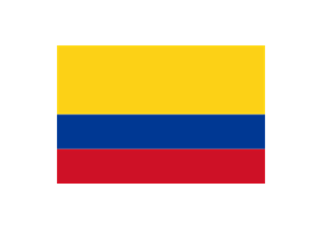
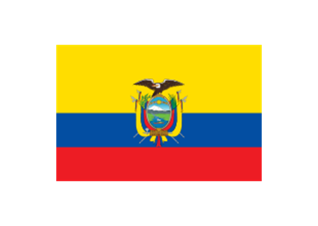
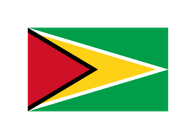
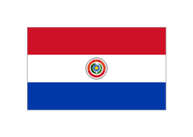
Countries: Flag of Argentina, Flag of Bolivia, Flag of Brazil, Flag of Chile, Flag of Colombia, Flag of Ecuador, Flag of Guyana, Flag of Paraguay, Flag of Peru, Flag of Suriname, Flag of Uruguay, Flag of Venezuela.
Territories: Flag of Aruba (Kingdom of the Netherlands), Flag of Bonaire (Kingdom of the Netherlands), Flag of Curacao (Kingdom of the Netherlands), Flag of the Falkland Islands (British Overseas Territory), Flag of French Guiana (Overseas Department of France), Flag of South Georgia and the South Sandwich Islands (British Overseas Territory)." [Flags of South America. Wikipedia]
The clip art example "South America flags - Stencils library" was created using the ConceptDraw PRO diagramming and vector drawing software extended with the Continent Maps solution from the Maps area of ConceptDraw Solution Park.
www.conceptdraw.com/ solution-park/ maps-continent
"... flags of South American countries and affiliated international organizations.
International: Flag of the Andean Community of Nations, Flag of the European Union, Flag of Mercosur, Flag of OPEC, Flag of the Organisation internationale de la Francophonie, Flag of the Union of South American Nations.
Countries: Flag of Argentina, Flag of Bolivia, Flag of Brazil, Flag of Chile, Flag of Colombia, Flag of Ecuador, Flag of Guyana, Flag of Paraguay, Flag of Peru, Flag of Suriname, Flag of Uruguay, Flag of Venezuela.
Territories: Flag of Aruba (Kingdom of the Netherlands), Flag of Bonaire (Kingdom of the Netherlands), Flag of Curacao (Kingdom of the Netherlands), Flag of the Falkland Islands (British Overseas Territory), Flag of French Guiana (Overseas Department of France), Flag of South Georgia and the South Sandwich Islands (British Overseas Territory)." [Flags of South America. Wikipedia]
The clip art example "South America flags - Stencils library" was created using the ConceptDraw PRO diagramming and vector drawing software extended with the Continent Maps solution from the Maps area of ConceptDraw Solution Park.
www.conceptdraw.com/ solution-park/ maps-continent
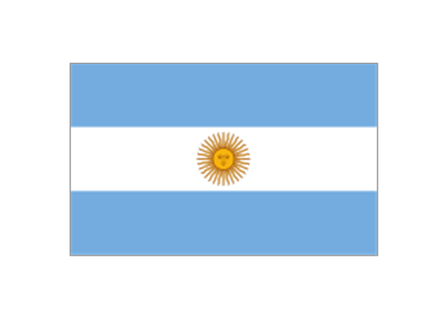
Argentina
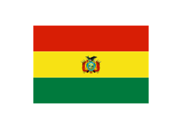
Bolivia
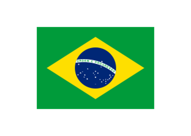
Brazil
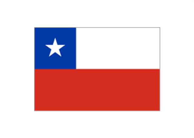
Chile
Colombia
Ecuador
French Guiana (France)
-south-america-flags---stencils-library.png--diagram-flowchart-example.png)
Guyana
Paraguay
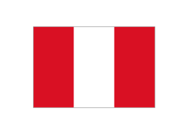
Peru
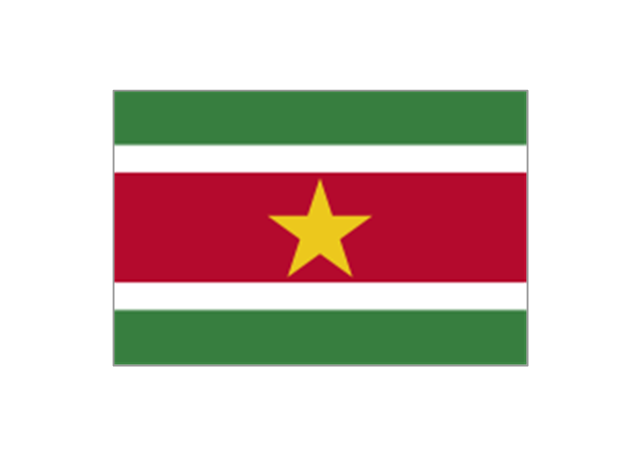
Suriname
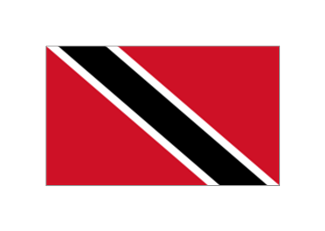
Trinidad and Tobago
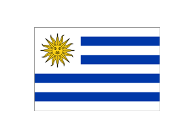
Uruguay
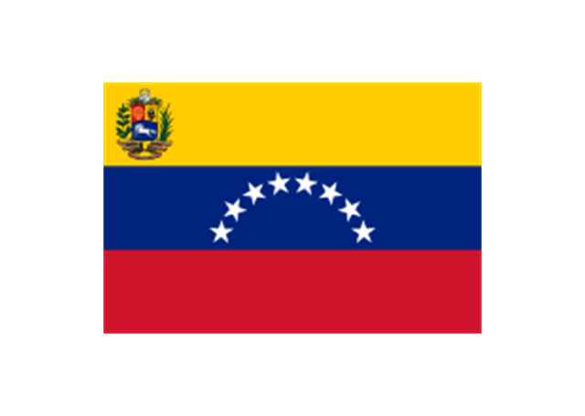
Venezuela
Geo Map - South America - Chile

Geo Map - South America - Venezuela

 Continent Maps
Continent Maps solution extends ConceptDraw PRO software with templates, samples and libraries of vector stencils for drawing the thematic maps of continents, state maps of USA and Australia.
Geo Map - South America - Argentina

Geo Map - South America - Costa Rica

Geo Map - South America - Colombia

Geo Map - South America - Ecuador

Geo Map - South America - Peru

Geo Map - South America - Paraguay

Geo Map - South America - Nicaragua

Geo Map - USA - Oklahoma

- Andean states - Political map | South America regions - Political map ...
- South America regions - Political map | South America country flags ...
- South American Countries
- Geo Map - South America - Venezuela | South America flags ...
- Geo Map - South America - French Guiana
- America Continent Flags
- South America flags - Stencils library | South America country flags ...
- Geo Map - South America Continent | South America flags - Stencils ...
- Design elements - South America flags | South America country ...
- South America flags - Stencils library | Opec Countries Flags
- South America flags - Stencils library | Geo Map - South America ...
- South American Continent Flag
- South American Flags Images
- European country flags - Vector stencils library | Design elements ...
- South America Flags Countries
- Geo Map - South America Continent | South America regions ...
- South America flags - Stencils library | Asia flags - Stencils library ...
- Design elements - Fast food | South America flags - Stencils library ...
- Countries Name In South America
- Geo Map - South America - Peru | Peru wheat area and production ...