 Directional Maps
Directional Maps solution extends ConceptDraw DIAGRAM software with templates, samples and libraries of vector stencils for drawing the directional, location, site, transit, road and route maps, plans and schemes.
Directions Maps

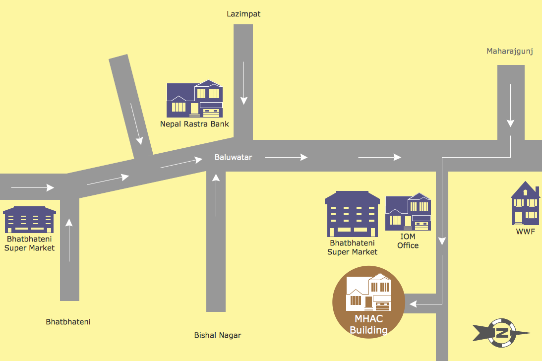
The 3D pictorial street maps are used as road maps, route maps, locator maps, transit maps, directional maps, tourist maps with points of interest (POI).
"A point of interest, or POI, is a specific point location that someone may find useful or interesting. ...
Most consumers use the term when referring to hotels, campsites, fuel stations or any other categories used in modern (automotive) navigation systems. ...
The term is widely used in cartography, especially in electronic variants including GIS, and GPS navigation software. In this context the synonym waypoint is common.
A GPS point of interest specifies, at minimum, the latitude and longitude of the POI, assuming a certain map datum. A name or description for the POI is usually included, and other information such as altitude or a telephone number may also be attached. GPS applications typically use icons to represent different categories of POI on a map graphically." [Point of interest. Wikipedia]
The example "3D pictorial street map" was created using the ConceptDraw PRO diagramming and vector drawing software extended with the Directional Maps solution from the Maps area of ConceptDraw Solution Park.
3D pictorial street map

Map Directions
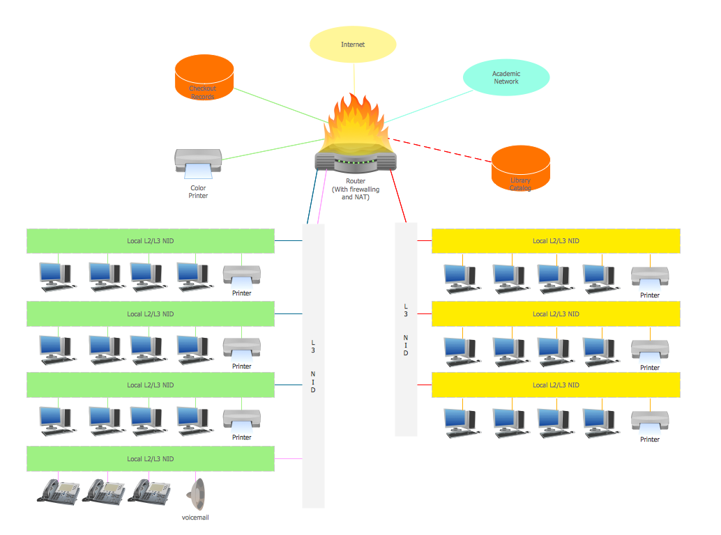
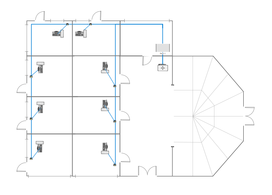
Campus Area Networks (CAN). Computer and Network Examples

Cisco Network Design

Wireless Network Mode

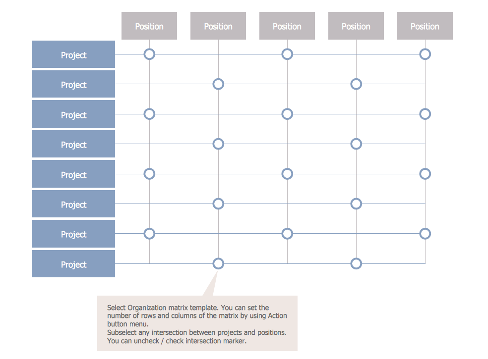
Matrix Organization Structure
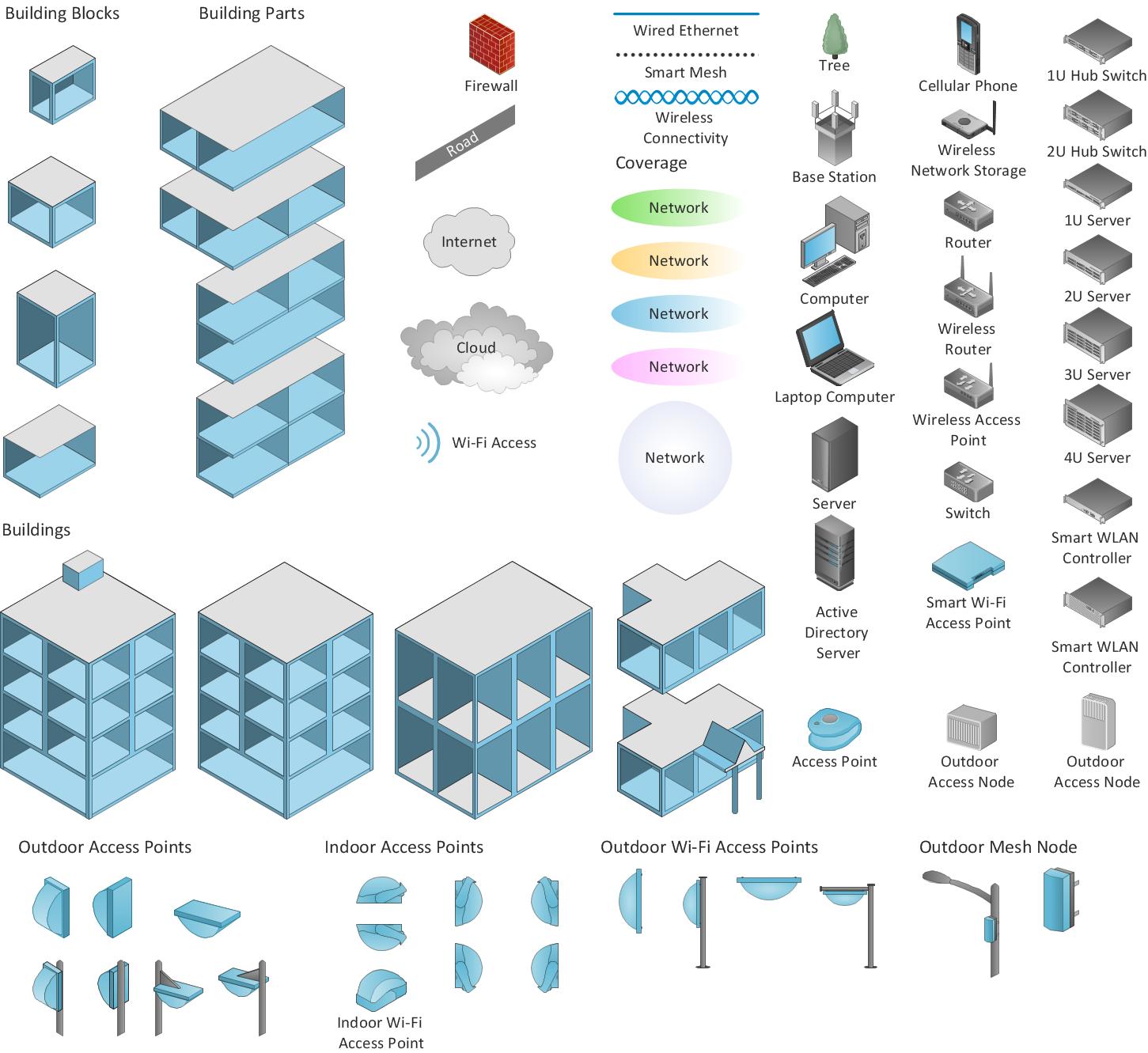
ConceptDraw DIAGRAM is an Advanced tool for Professional Network Diagrams Creation
Guesthouse Network. WIFI network to my guest house
- Directional Maps | Neighborhood Project 3d
- 3D pictorial street map | Neighborhood Street Drawing
- Directional Maps | 3d Neighborhood Plan Drawing
- Directions In The Neighborhood
- Directions Maps | 3D pictorial street map | Design elements ...
- Directional Maps | How to Create a Directional Map Using ...
- Directional Maps | 3D Network Diagram Software | Maps and ...
- Road Route 3d Creator
- Directional Maps | 3D pictorial street map | Design elements - 3D ...
- Value Stream Mapping | Spatial Infographics | Brilliant Examples of ...