This political map of Canada exhibits its ten provinces and three territories, and their capitals.
"Canada is a country in North America consisting of 10 provinces and 3 territories. Located in the northern part of the continent, it extends from the Atlantic to the Pacific and northward into the Arctic Ocean. At 9.98 million square kilometers in total, Canada is the world's second-largest country by total area, and its common border with the United States is the world's longest land border shared by the same two countries." [Canada. Wikipedia]
This Canada political map was redesigned from Wikipedia file Map Canada political 2.png. [commons.wikimedia.org/ wiki/ File:Map_ Canada_ political_ 2.png]
The example "Canada political map" was created using the ConceptDraw PRO diagramming and vector drawing software extended with the Continent Maps solution from the Maps area of ConceptDraw Solution Park.
Political map - Canada

Geo Map - Canada - Nova Scotia
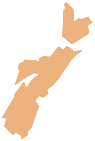
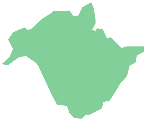
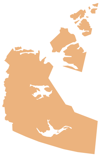
Geo Map - Canada

Geo Map - Canada - Yukon

Geo Map - Canada - Quebec

Geo Map - Canada - New Brunswick
Geo Map - Canada - Northwest Territories
Geo Map - Canada - Saskatchewan

Geo Map - Canada - Ontario

Geo Map - Canada - British Columbia

- Where Are The Capitals In The Ten Provinces And Three Territories
- Vector Map Of Canada's 10 Provinces And 3 Territories
- Canada Province Capital
- Canada political map | Canada - Vector stencils library | Canada ...
- Geo Map - Canada
- Canada political map | Pince Png
- Canada Provinces And Territories Map Contour
- Canada regions - Political map | Geo Map - Canada - Nova Scotia ...
- Map Provinces Canada
- Visio Stencil For Canadian Provinces