The vector stencils library "Travel and tourism pictograms" contains 20 travelling and journey symbols.
Use it to draw your tour and trip infograms. The example "Travel and tourism pictograms - Vector stencils library" was created using the ConceptDraw PRO diagramming and vector drawing software extended with the Pictorial infographics solution from the area "What is infographics" in ConceptDraw Solution Park.
Use it to draw your tour and trip infograms. The example "Travel and tourism pictograms - Vector stencils library" was created using the ConceptDraw PRO diagramming and vector drawing software extended with the Pictorial infographics solution from the area "What is infographics" in ConceptDraw Solution Park.
Globe

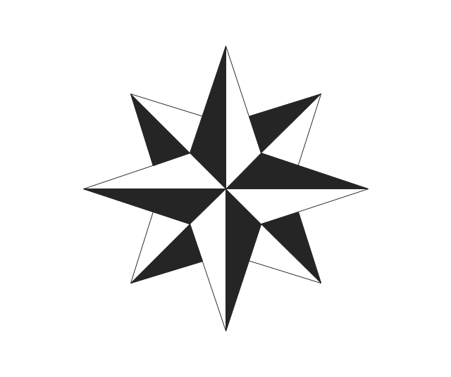
Wind rose
Direction

Sign

Milestone

Flag

Campground

Tent

RV

Restaurant

Restrooms

Passport

Plane

Ticket

Briefcase

Case

Luggage

Mountains

Palm

Hotel

The vector stencils library "Travel and tourism pictograms" contains 20 travel and tourism pictograms.
Use it to create your infographics, illustrations and presentations.
The pictogram example "Design elements - Travel and tourism pictograms" was created using the ConceptDraw PRO diagramming and vector drawing software extended with the Pictorial infographics solution from the area "What is infographics" in ConceptDraw Solution Park.
Pictograms

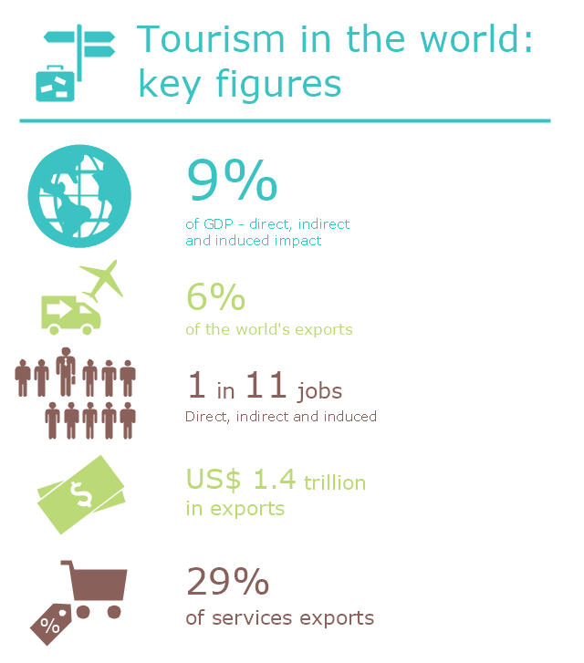
This infogram sample was created on the base of "UNWTO Tourism Highlights, 2014 Edition (World Tourism Organization UNWTO)". [dtxtq4w60xqpw.cloudfront.net/ sites/ all/ files/ pdf/ unwto_ highlights14_ en_ hr.pdf]
The infographics example "Tourism in the world: key figures" was created using the ConceptDraw PRO diagramming and vector drawing software extended with the Pictorial Infographic solition from the area "What is infographics" in ConceptDraw Solution Park.
The infographics example "Tourism in the world: key figures" was created using the ConceptDraw PRO diagramming and vector drawing software extended with the Pictorial Infographic solition from the area "What is infographics" in ConceptDraw Solution Park.
Pictorial infogram
The vector stencils library "Recreation signs" contains 28 pictogram symbols of recreation signs for labeling street and directional maps, locator and tourist maps, road and route maps.
"A tourist sign, often referred to as a brown sign, is a traffic sign whose purpose is to direct visitors to tourist destinations, such as historic buildings, tourist regions, caravan or camp sites, picnic areas, sporting facilities and cultural places such as museums. By international convention, brown signs with white lettering and white pictograms are often used for this purpose. ...
Basically these tourist signs have 3 main applications:
(1) Information signs and signposts that point to important tourist destinations or places of interest in the local area, for example within a village or town.
(2) Standard signs that are used to mark routes with special themes, i.e. so-called tourist or holiday routes.
(3) Tourist signs that herald the presence of nearby landscapes, towns and regions, usually on long distance routes such as motorways. They are not used as direction signs." [Tourist sign. Wikipedia]
The pictograms example "Recreation signs - Vector stencils library" was created using the ConceptDraw PRO diagramming and vector drawing software extended with the Directional Maps solution from the Maps area of ConceptDraw Solution Park.
www.conceptdraw.com/ solution-park/ maps-directional
Parking

Amphitheater

Campfire

Cross-country skiing

Volleyball

Supplies/store

Climbing

Handball/racquetball

Boat launch

Downhill skiing

Shower

Fishing

Golf

Skating

Canoe access

Horseback riding

Tennis

Kayaking

Marina

Hiking

Snowboarding

Scuba diving

Swimming

Snowmobile

Restroom

Potable water

Campground

RV

Design Pictorial Infographics. Design Infographics

Geo Map — USA — Florida

Geo Map — USA — Montana

The vector stencils library "Recreation signs" contains 28 pictogram symbols for labeling the street and locator maps, road and route maps, transit and tourist maps with information signs using the ConceptDraw PRO diagramming and vector drawing software.
"An information sign is a very legibly printed and very noticeable placard that informs people of the purpose of an object, or gives them instruction on the use of something. An example is a traffic sign such as a stop sign.
Information signs have been growing in visibility due to the explosion of sign technologies." [Information sign. Wikipedia]
"A tourist sign, often referred to as a brown sign, is a traffic sign whose purpose is to direct visitors to tourist destinations, such as historic buildings, tourist regions, caravan or camp sites, picnic areas, sporting facilities and cultural places such as museums. By international convention, brown signs with white lettering and white pictograms are often used for this purpose." [Tourist sign. Wikipedia]
The vector stencils library "Recreation signs" is included in the Directional Maps solution from the Maps area of ConceptDraw Solution Park.
Recreation signs

Geo Map — Europe — France

HelpDesk
How to Draw a Pictorial Chart in ConceptDraw PRO

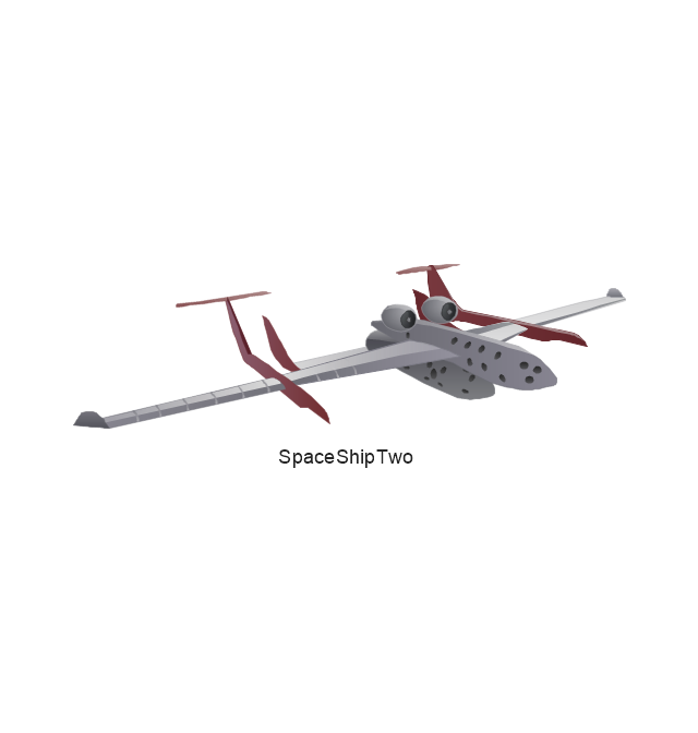
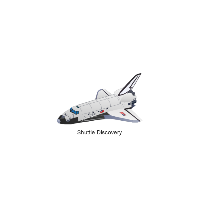
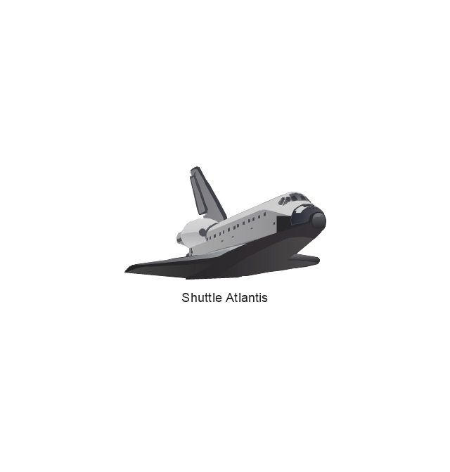
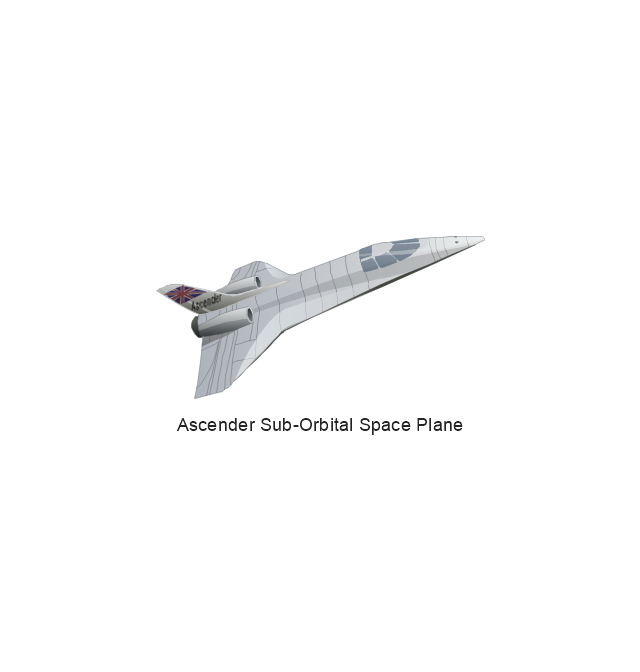
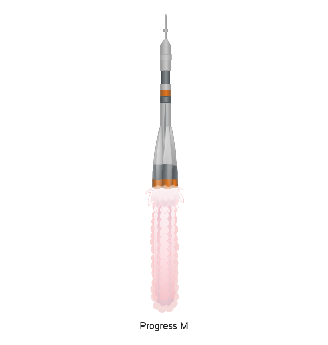
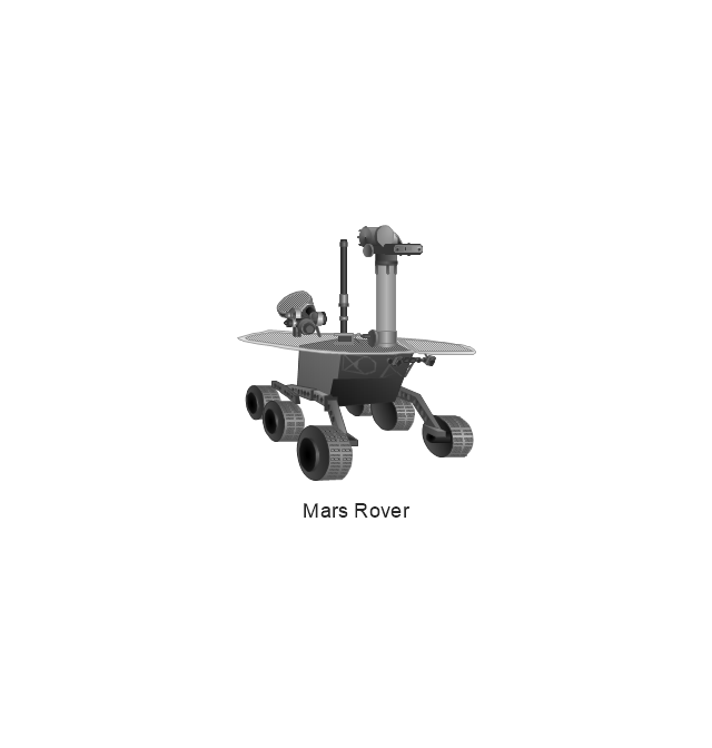
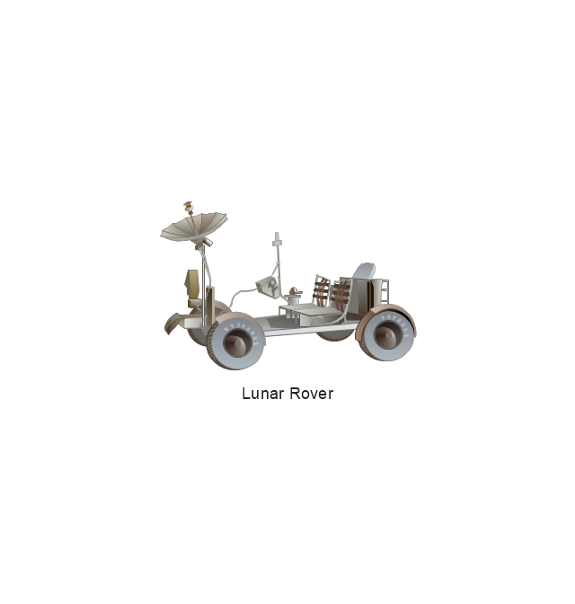
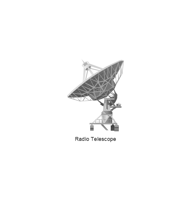
The vector stencils library "Aerospace" contains 38 clip art images for creating aerospace illustrations, presentation slides, infographics and webpages using the ConceptDraw PRO diagramming and vector drawing software.
"Aerospace describes the human effort in science, engineering and business to fly in the atmosphere of Earth (aeronautics) and surrounding space (astronautics). Aerospace organisations research, design, manufacture, operate, or maintain aircraft and/ or spacecraft. Aerospace activity is very diverse, with a multitude of commercial, industrial and military applications.
Aerospace is not the same as airspace, which is the physical air space directly above a location on the ground." [Aerospace. Wikipedia]
The vector stencils library "Aerospace" is included in the Aerospace and Transport solution from the Illustrations area of ConceptDraw Solution Park.
www.conceptdraw.com/ solution-park/ illustrations-aerospace-transport
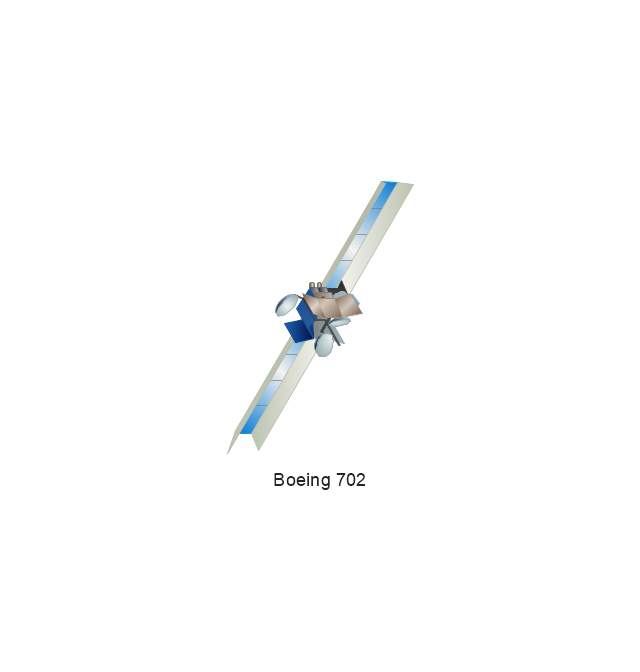
Boeing 702
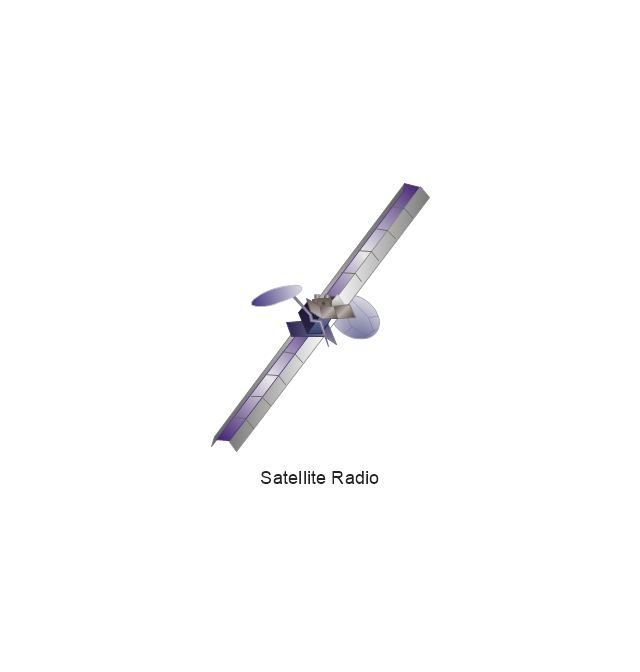
Satellite Radio
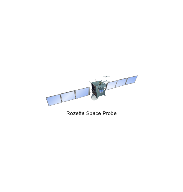
Rosetta Space Probe
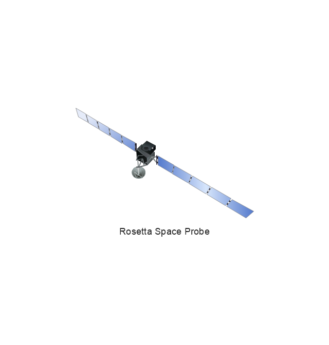
Rosetta Space Probe
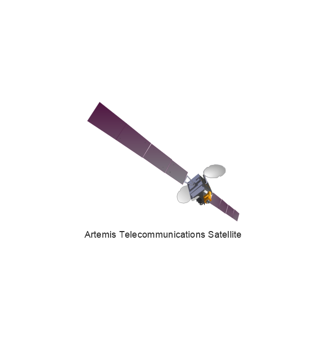
Artemis Telecommunications Satellite
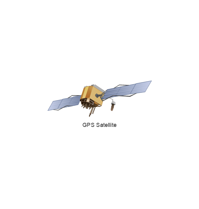
GPS Satellite
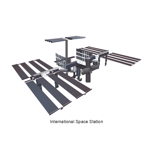
International Space Station
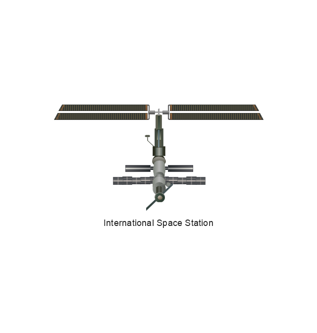
International Space Station
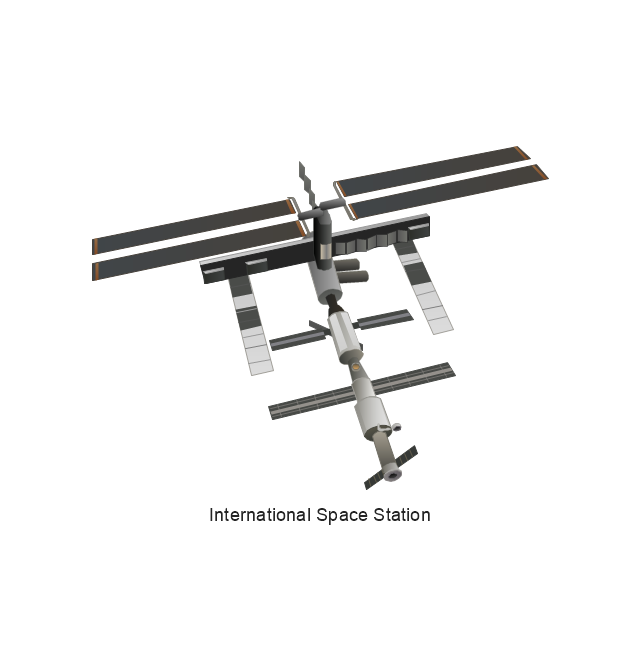
International Space Station
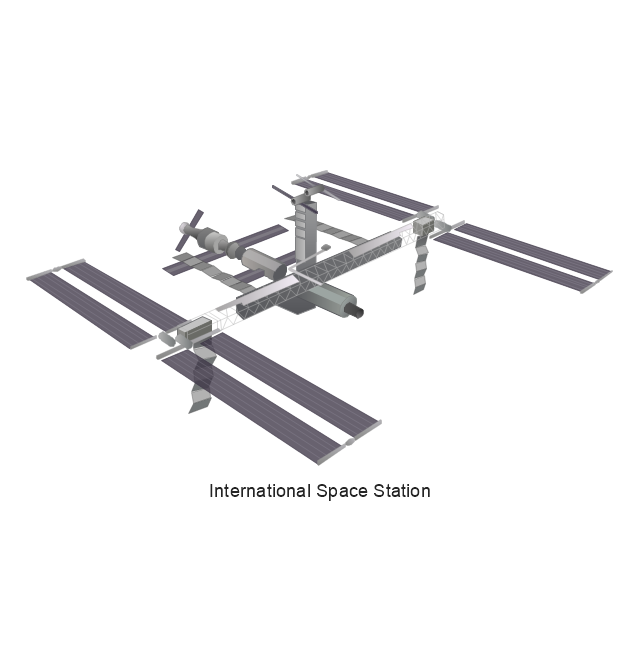
International Space Station
SpaceShipTwo
Shuttle Discovery
Shuttle Atlantis
Ascender Sub-Orbital Space Plane
Progress M
Mars Rover
Lunar Rover
Radio Telescope

Radio Telescope
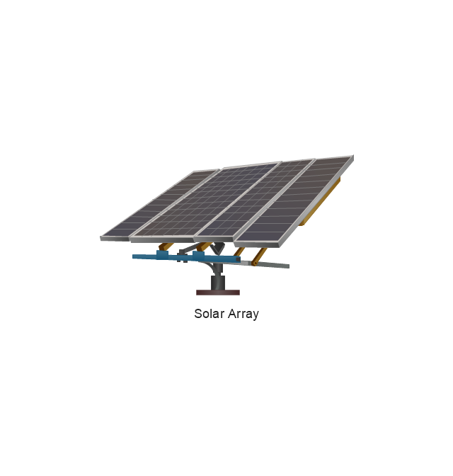
Solar Array
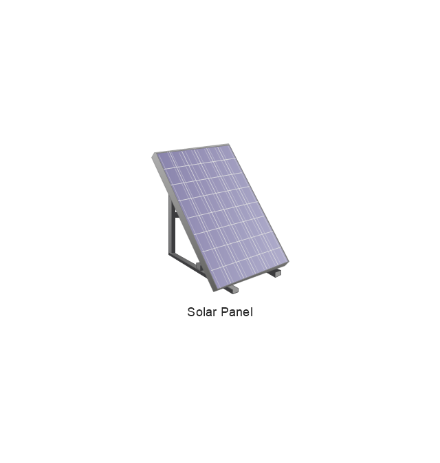
Solar Panel
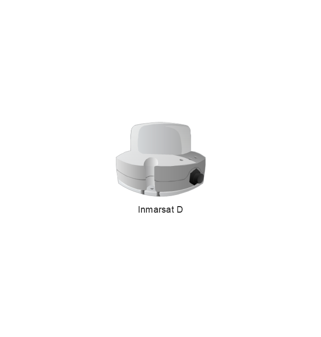
Inmarsat D
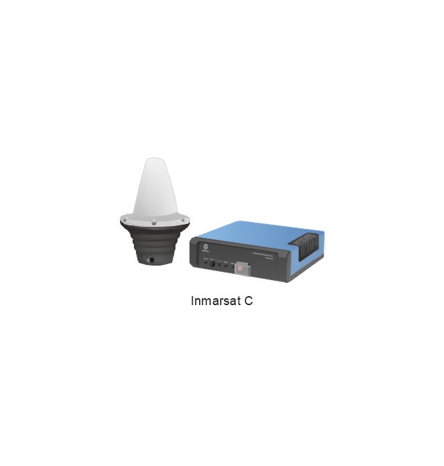
Inmarsat C
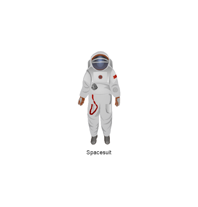
Spacesuit
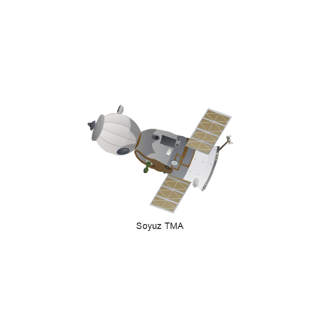
Soyuz TMA
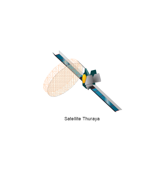
Satellite Thuraya
Tracking Headquarters
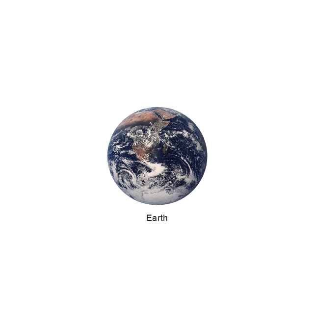
Earth
Earth
Earth
Earth
Moon
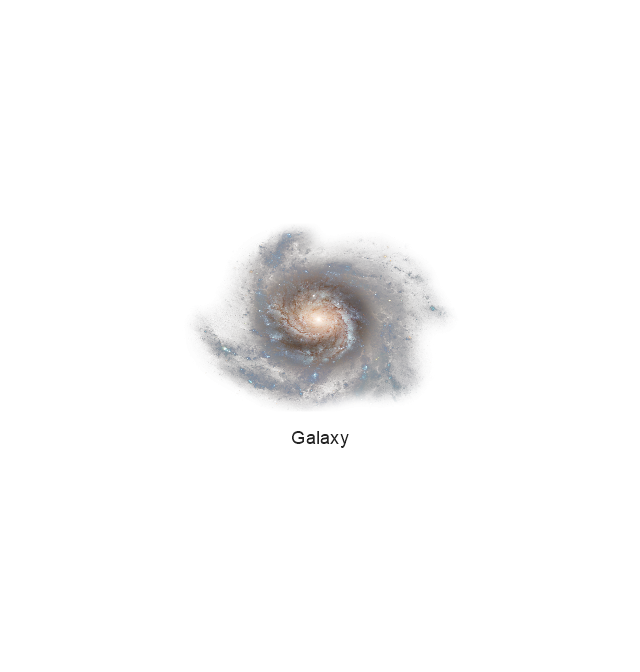
Galaxy
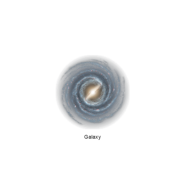
Galaxy
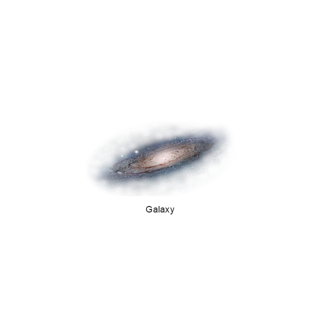
Galaxy
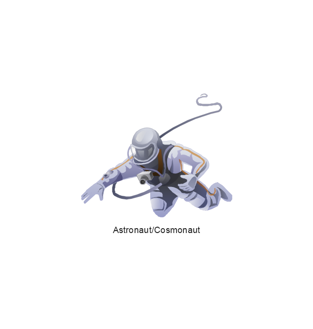
Astronaut/Cosmonaut
Tracking Headquarters
Night Sky

Pictorial Chart

Geo Map — Africa — Tanzania

Geo Map - USA - Arkansas

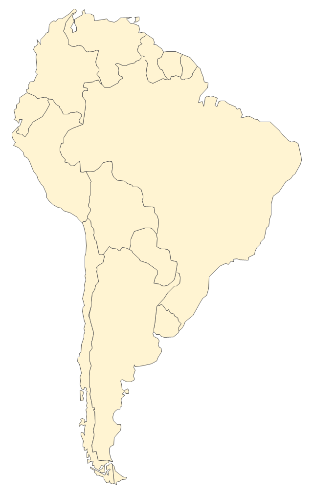
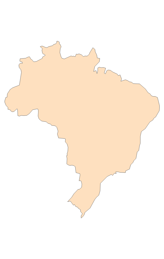
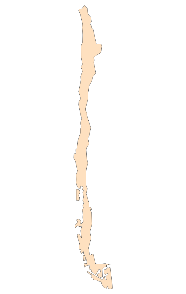
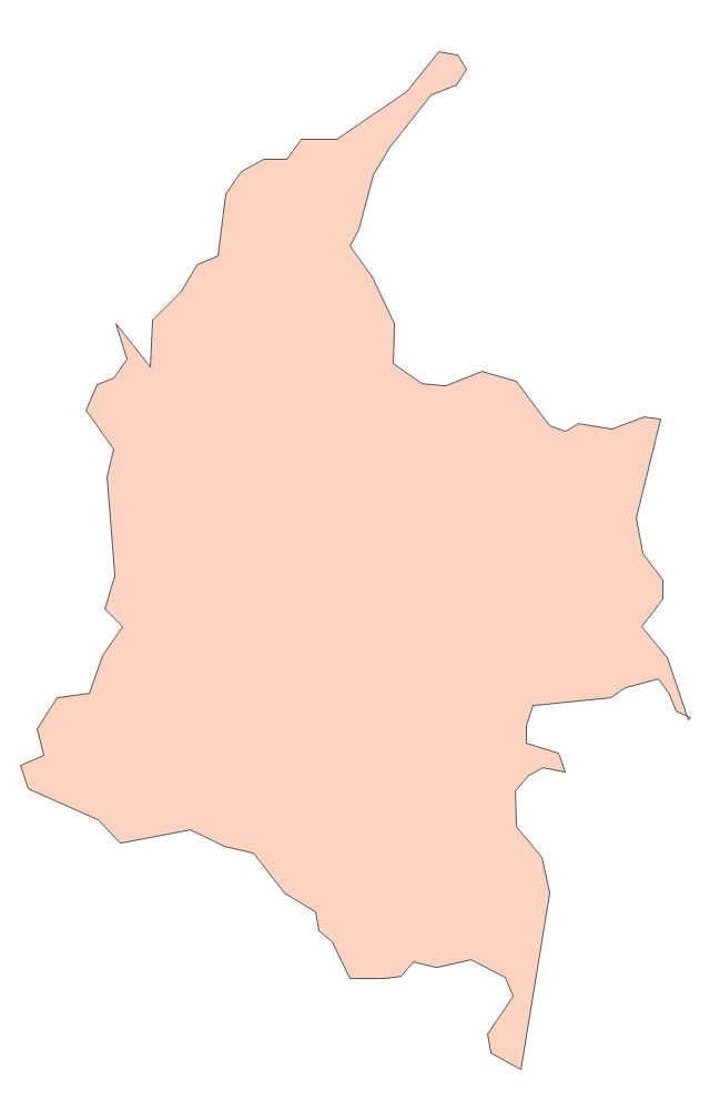
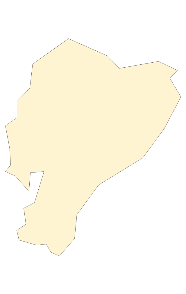
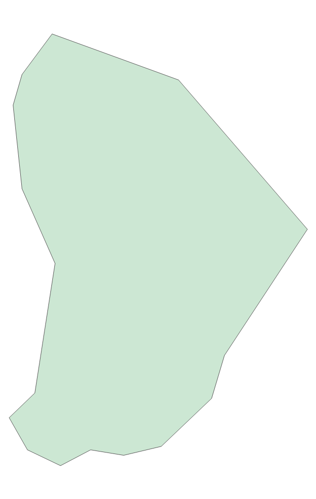
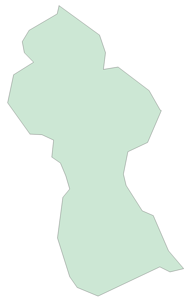
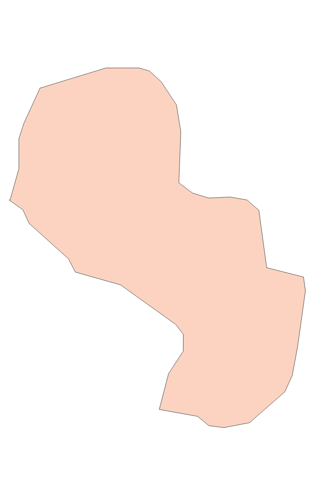
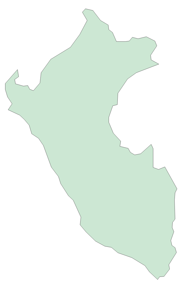
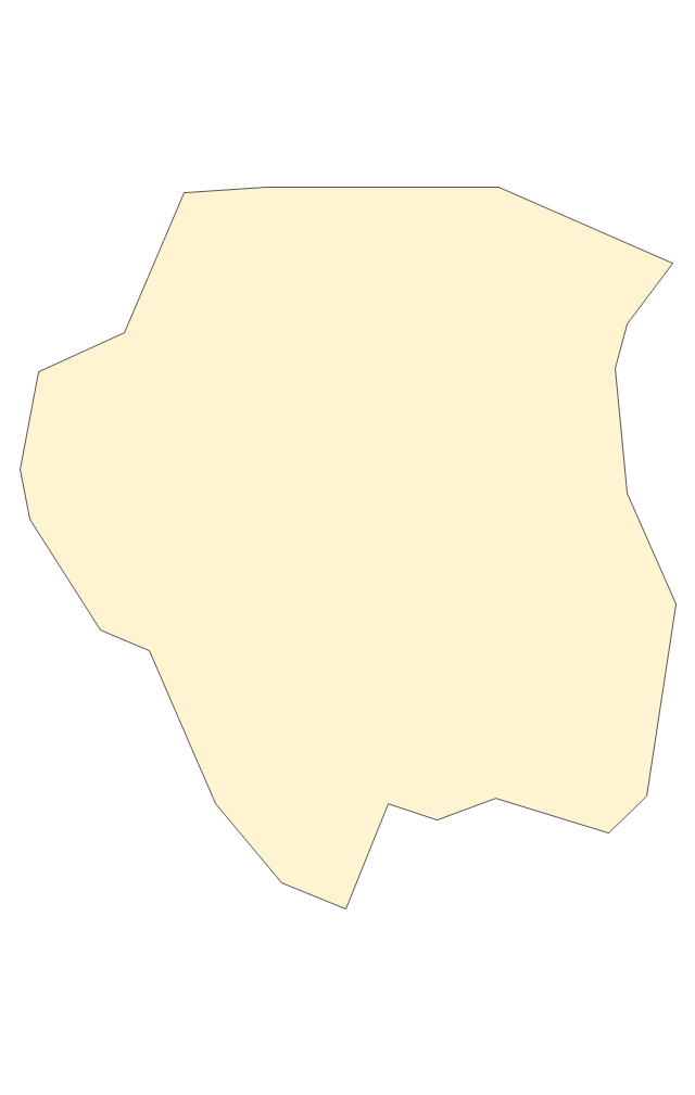
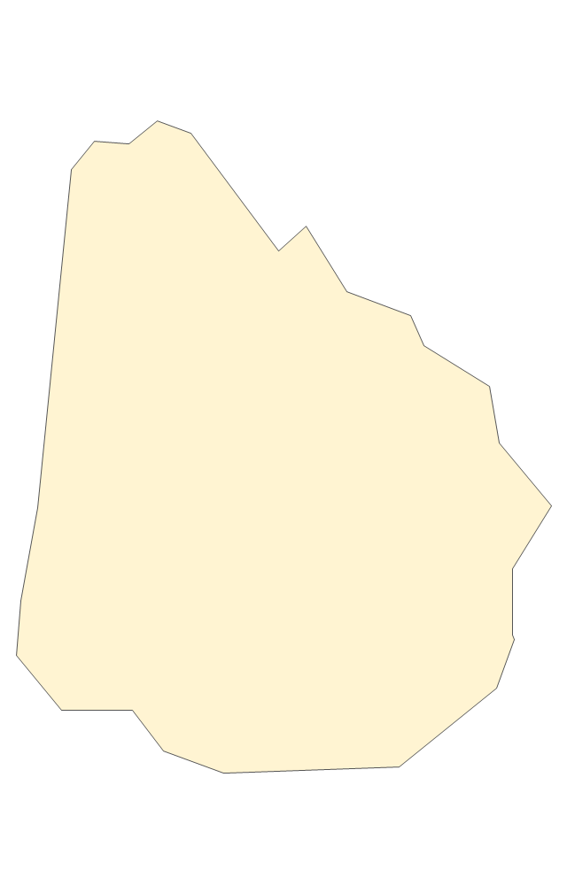
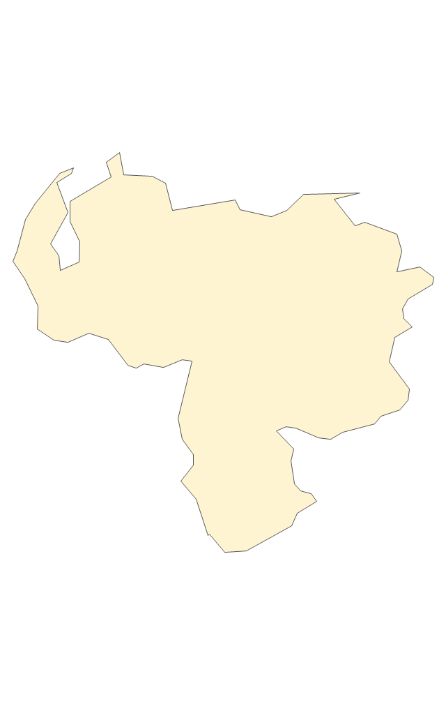
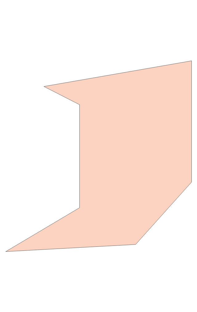
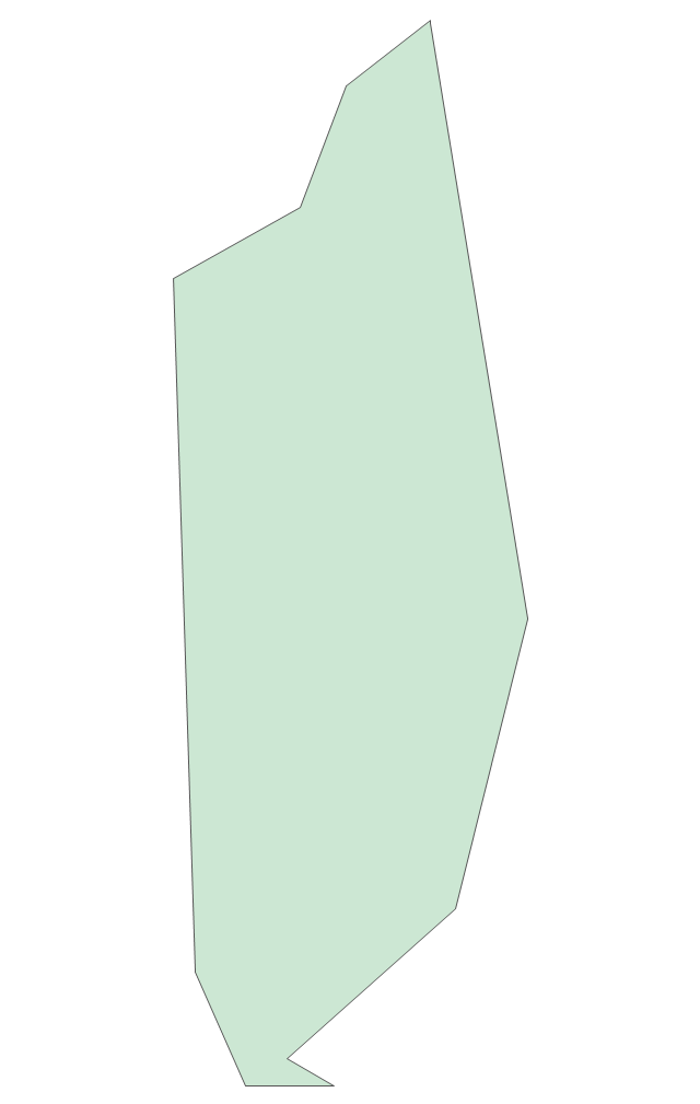
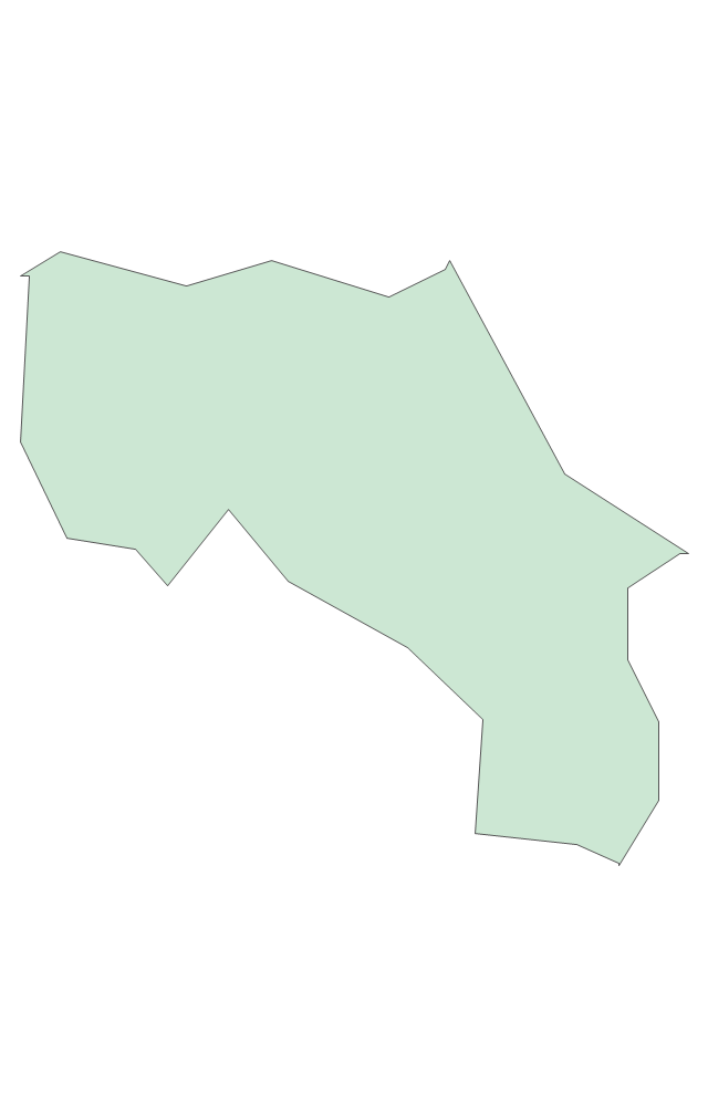
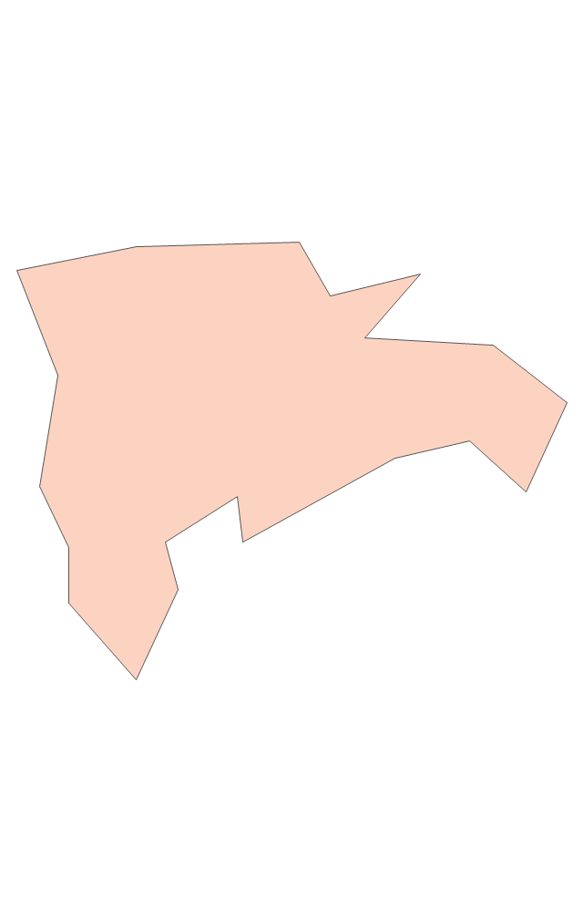
The vector stencils library "South America" contains 29 state map contours for drawing thematic maps of South America. Use it for visual representation of geospatial information, statistics and quantitative data.
"South America is a continent located in the Western Hemisphere, mostly in the Southern Hemisphere, with a relatively small portion in the Northern Hemisphere. ...
It is bordered on the west by the Pacific Ocean and on the north and east by the Atlantic Ocean; North America and the Caribbean Sea lie to the northwest. It includes twelve sovereign states - Argentina, Bolivia, Brazil, Chile, Colombia, Ecuador, Guyana, Paraguay, Peru, Suriname, Uruguay, and Venezuela - and two non-sovereign areas - French Guiana, an overseas department of France, and the Falkland Islands, a British Overseas Territory (nonetheless claimed by Argentina). In addition to this, the ABC islands of the Netherlands may also be considered part of South America." [South America. Wikipedia]
The state map contours example "South America - Vector stencils library" was created using the ConceptDraw PRO diagramming and vector drawing software extended with the Continent Maps solution from the Maps area of ConceptDraw Solution Park.
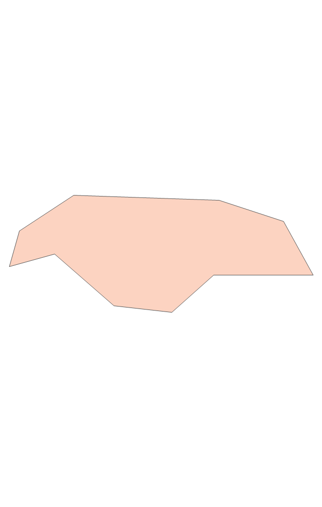
South America
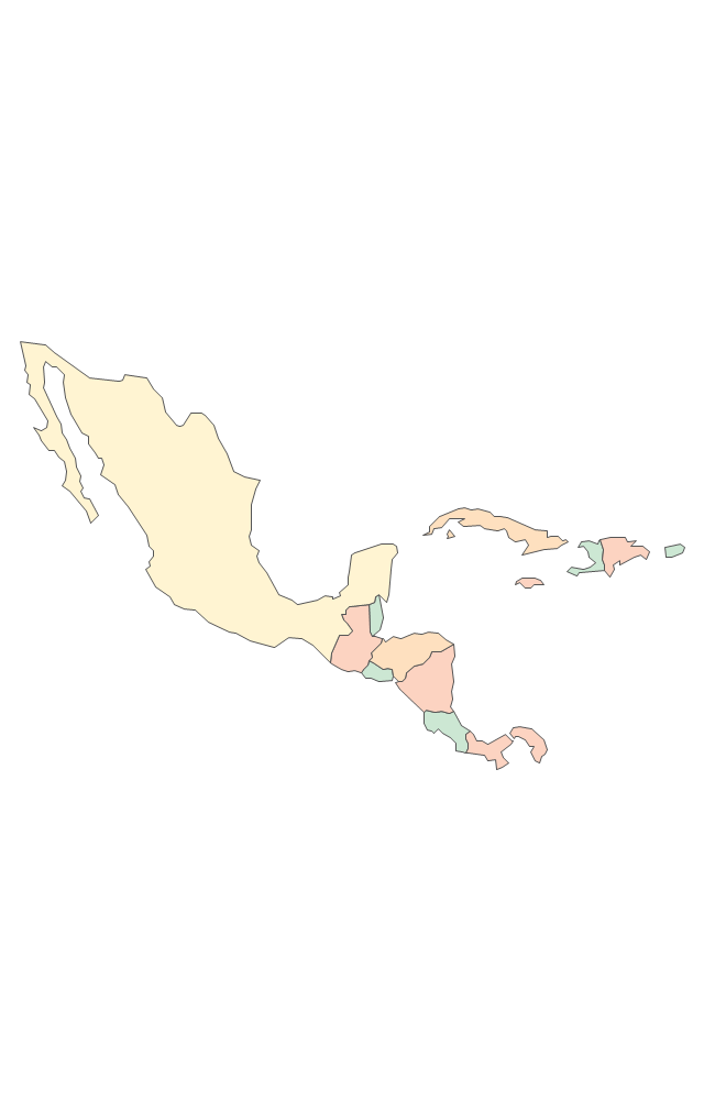
Central America
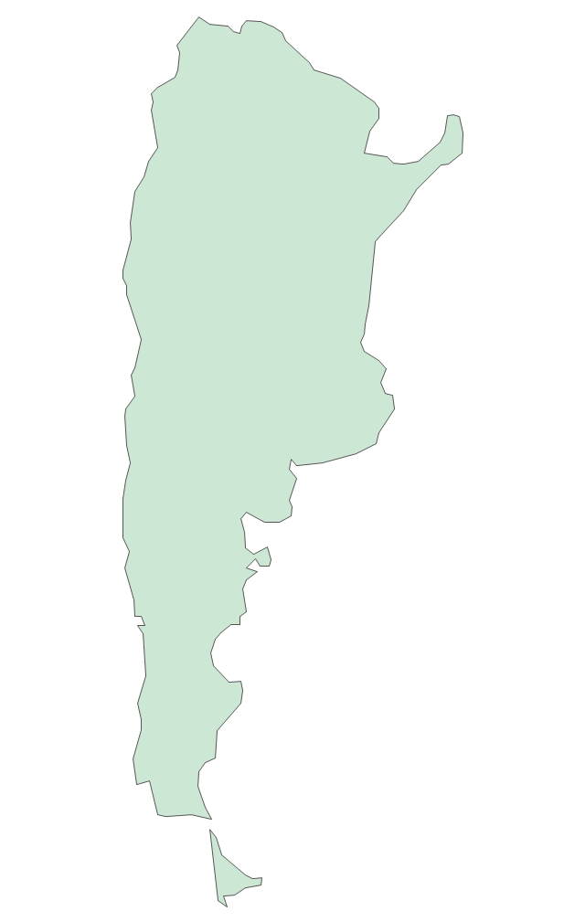
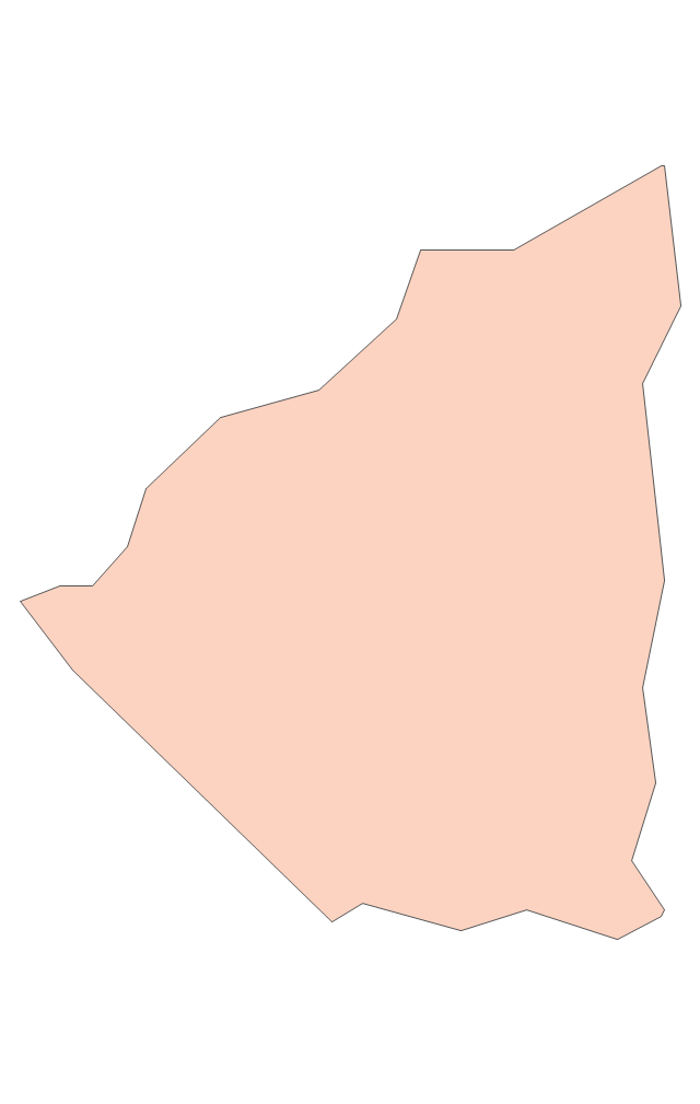
Argentina
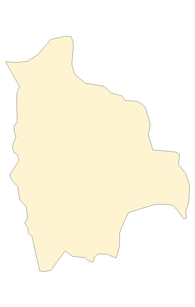
Bolivia
Brazil
Chile
Colombia
Ecuador
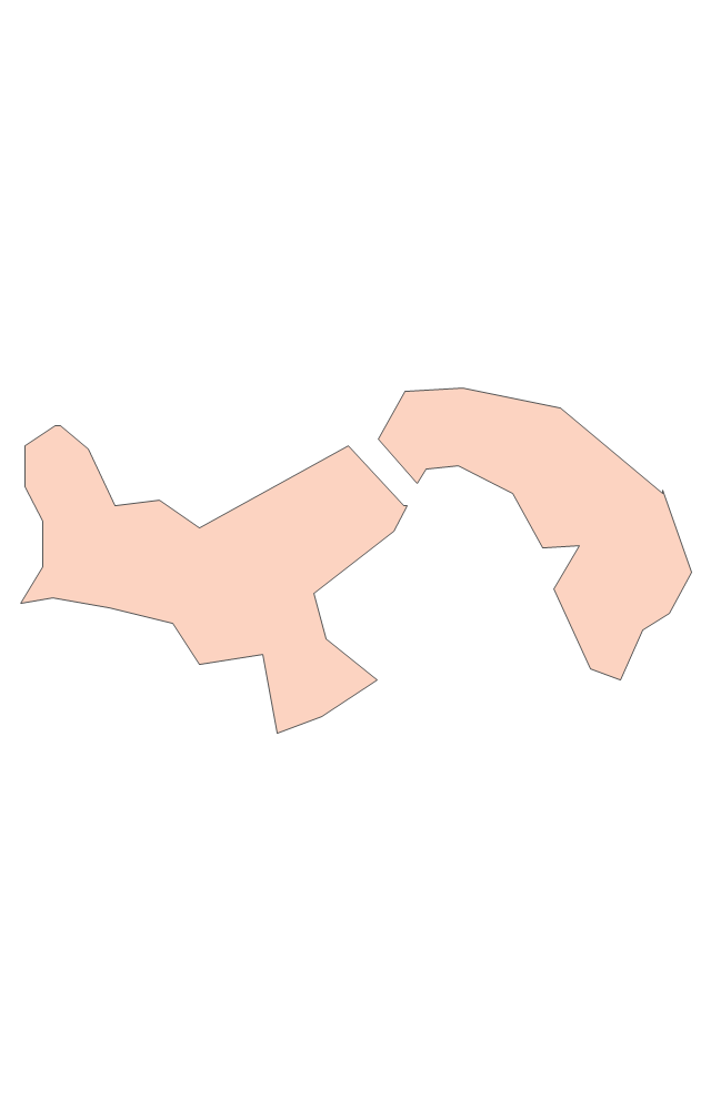
French Guiana
Guyana
Paraguay
Peru
Suriname
Uruguay
Venezuela
Trinidad and Tobago
Belize
Costa Rica
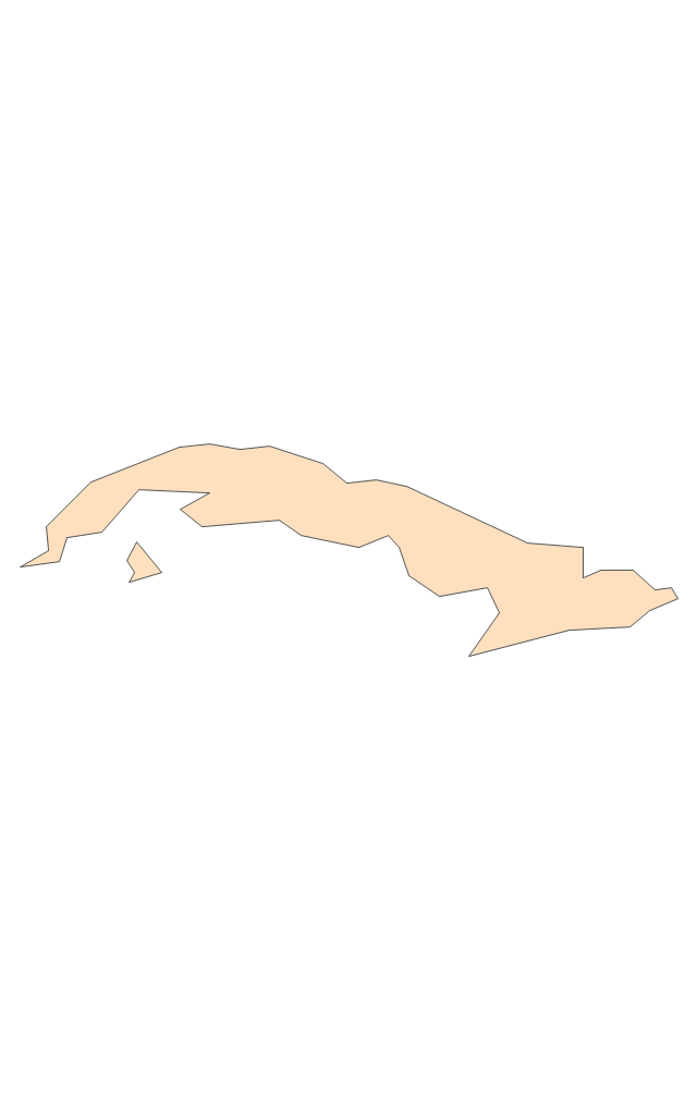
Cuba
Dominican Republic
El Salvador
Guatemala
Haiti
Honduras
Jamaica
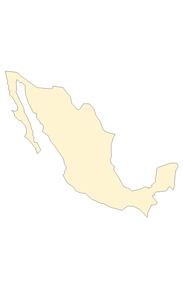
Mexico
Nicaragua
Panama
Puerto Rico
- Use Case Diagram For Tourists
- Tourists Line Graph
- Tourism Project ER Diagram
- Design Pictorial Infographics. Design Infographics | Tourism in the ...
- Sequence Diagram Of Tourism Management
- Use Case Diagram For Tourism Website
- Data Flow Diagrams | Er Diagram Theory Of Tourism Management ...
- Travel and tourism pictograms - Vector stencils library | Road ...
- Recreation signs - Vector stencils library | Travel and tourism ...
- Pdf Of Uml Diagram Example For Tourism System
- Example Of Tourism Organogram
- Travel and tourism pictograms - Vector stencils library | Travel and ...
- Travel and tourism pictograms - Vector stencils library | Management ...
- Design elements - Travel and tourism pictograms | Travel and ...
- Design elements - Travel and tourism pictograms
- Travel and tourism pictograms - Vector stencils library | Electrical ...
- Travel and tourism pictograms - Vector stencils library
- Design elements - Transport map | Travel and tourism pictograms ...
- Tourism in the world: key figures