Geo Map — Asia
Knowing geography well is always beneficial, especially nowadays when globalization is a fact and a real thing. Trading the world widely and traveling is the best way to get to know different countries and interesting places, people, and their culture. Working as a sales manager or logistics specialist, importing and exporting various goods or food, you must know a lot about what it is good enough to purchase in Asia in order to sell anywhere else, including the USA and Europe. Asia is known as the most populous continent. Over 4,4 billion people are living there.
Asia is also the largest continent, according to the scale of its territory. Asia covers 44 579 000 square kilometres or 17 212 000 square miles which is in total over 9% of the surface area of our planet and 30% of its land area. It also has the longest coastline – 62,800 kilometers. Traveling there and going to every new city and town every day can take years, and knowing and remembering where exactly those towns are can be simpler when you have a geo map of Asia.
Asia is the fastest-growing economic and tourism region. At this, China has the largest and most stable economy on the continent. Then follow Japan, India, South Korea, Indonesia, Saudi Arabia, and Turkey.

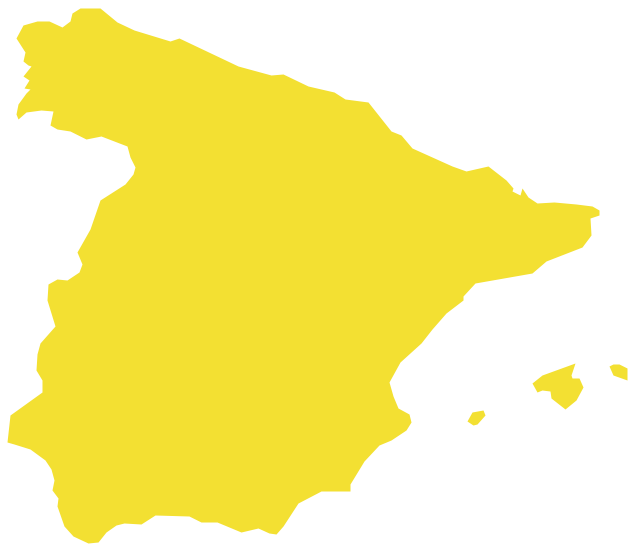
Example 1. Asia Map
Exploring Asia: A Comprehensive Geo Map Guide
Asia is the largest continent in the world, located mostly in the eastern and northern hemispheres, and including the Chukotka peninsula in the western hemisphere and the islands of the Malay Archipelago in the southern hemisphere. Asia borders Europe, mainly this border is the Ural Mountains. It is separated from North America by the Bering Strait and connected to Africa by the Suez Canal. Asia is bounded by the Pacific Ocean on the east, the Arctic Ocean on the north, and the Indian Ocean on the south.
The division of Eurasia into two continents has historical roots and these parts (East and West) have cultural, ethnic, and linguistic specifics. Asia comprises the territories of both fully recognized states and ones with limited recognition, as well as dependent territories of Asian and non-Asian states. In total, it includes 49 states or states with substantial territory.
Asia has the strongest manufacturing, economics, and developed infrastructure, and is rich in natural resources. The most developed countries are China, Taiwan, Japan, South Korea, India, the Philippines, and Singapore. Many companies from Europe and North America have their manufacturies in Asia's countries.

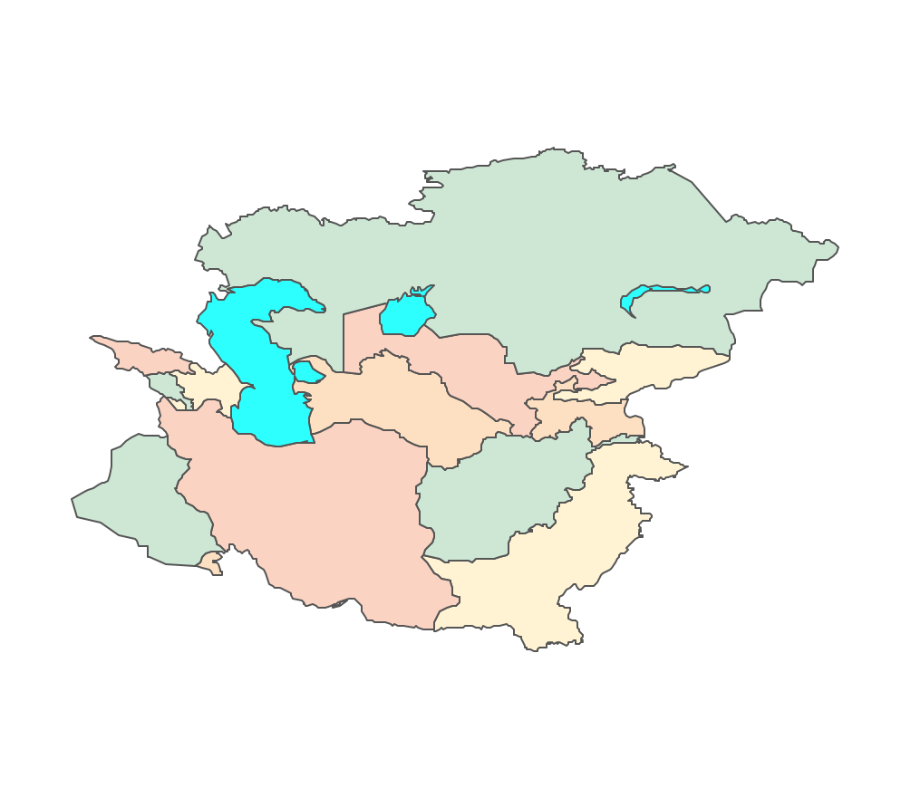
Example 2. Asia Map Drawing with Countries in ConceptDraw DIAGRAM
The Geographic Diversity of Asia: Characteristics and Features
Asia is diverse and famous for its physical geographical features, such as the developed mountain system, plateaus, deserts, steppes, rivers, and lakes. It includes:
The Himalayas mountains extend between Nepal and China for about 2,500 kilometers, cover more than 612,000 square kilometers and are the tallest mountain range in the world. They separate the Indian subcontinent from the rest of Asia and are composed of three mountain belts.
Mountain Everest, which lies in the Himalayas, is the highest mountain in the world and stands at 8,849 meters.
The Tien Shan is another large mountain system of Asia. It extends for about 2,400 kilometers, has more than 10,100 square kilometers, and two highest peaks – Victory Peak (7,439 meters) and Khan Tängiri Peak (6,995 meters). It also includes the largest Engil'chek Glacier about 60 kilometers long.
The Ural Mountains stretch for about 2,500 kilometers and are some of the oldest mountains in the world.
The Tibetan Plateau occupies an area extending 2500 km by 1000 km and is the largest and highest area ever existing on the Earth. The average elevation is more than 5,000 meters above sea level. It is an important water source of Asia and also in the world’s water cycle because of large number of glaciers, the meltwater of which feeds the largest rivers of Asia.
The West Siberian Plain is an example of Asia's large steppes. It is located in central Russia and extends on the area from about 2,400 kilometers by 1,900 kilometers and 100 meters above sea level.
The Lake Baikal is the oldest and the deepest lake in the world (1,620 meters in depth), and the largest reservoir of freshwater on Earth.
The rivers of Asia such as the Tigris, Euphrates, Indus, Yangtze, and others play a vital role in the continent history of humanity. They are often flooded, make the soil rich, and have great agricultural and industrial use.
The Yangtze River (6,300 kilometers in length) in China is the longest river in Asia and the third longest in the world.
The Bay of Bengal is the largest bay in the world (2.2 million square kilometers).
The Gobi Desert is the most known Asia arid desert, it is also famous for its ancient trading Silk Road.
The Rub’ al Khali desert is known as the world’s largest sand sea.
Resources
Asia is rich in diverse natural resources, such as petroleum, coal, natural gas, copper, silver, forests, and others. The Persian Gulf, which borders Iran, Oman, United Arab Emirates, Saudi Arabia, Qatar, Bahrain, Kuwait, and Iraq and has an area of more than 234,000 square kilometers, contains around 50 percent of the world’s oil reserves.
Asia is an area of tropical, coniferous, and deciduous forests. Tropical rainforests extend across much of southern Asia. Coniferous and deciduous forests lie further to the north on the geo map Asia.
Climate
Asia has an extremely diverse climate in its different parts. It ranges from moist to dry, from tropical in southern India and Southeast Asia to arctic and subarctic in Siberia, which is one of the coldest places in the northern hemisphere. It is vice versa hot in the southwestern part of the continent. The largest daily temperature ranges occur in the western part of Asia. The monsoons dominate in the southern and eastern parts of the continent. The Himalayas also greatly influence the climate.

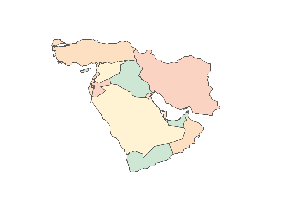
Example 3. Asia Contour
Geo Map of Asia: Regions and Borders
Asia is the most diverse continent and each of these regions differs from the other ones, but at the same time, it groups several countries of similar nature, culture, and history. The borders of these regions are clearly defined.
The main regions of Asia include:
Central Asia is the core region of the Asian continent and stretches from the Caspian Sea in the west to China in the east and from Afghanistan in the south to Russia in the north. It includes 5 countries:
- Turkmenistan
- Uzbekistan
- Tajikistan
- Kyrgyzstan
- Kazakhstan
West Asia contains the majority of countries of the Middle East (political term for a transcontinental region centered on Western Asia). It includes 19 countries:
- Iran
- Iraq
- Kuwait
- Saudi Arabia
- Bahrain
- Qatar
- United Arab Emirates
- Oman
- Yemen
- Jordan
- Israel
- Palestine
- Lebanon
- Syria
- Cyprus
- Türkiye
- Georgi
- Armenia
- Azerbaijan
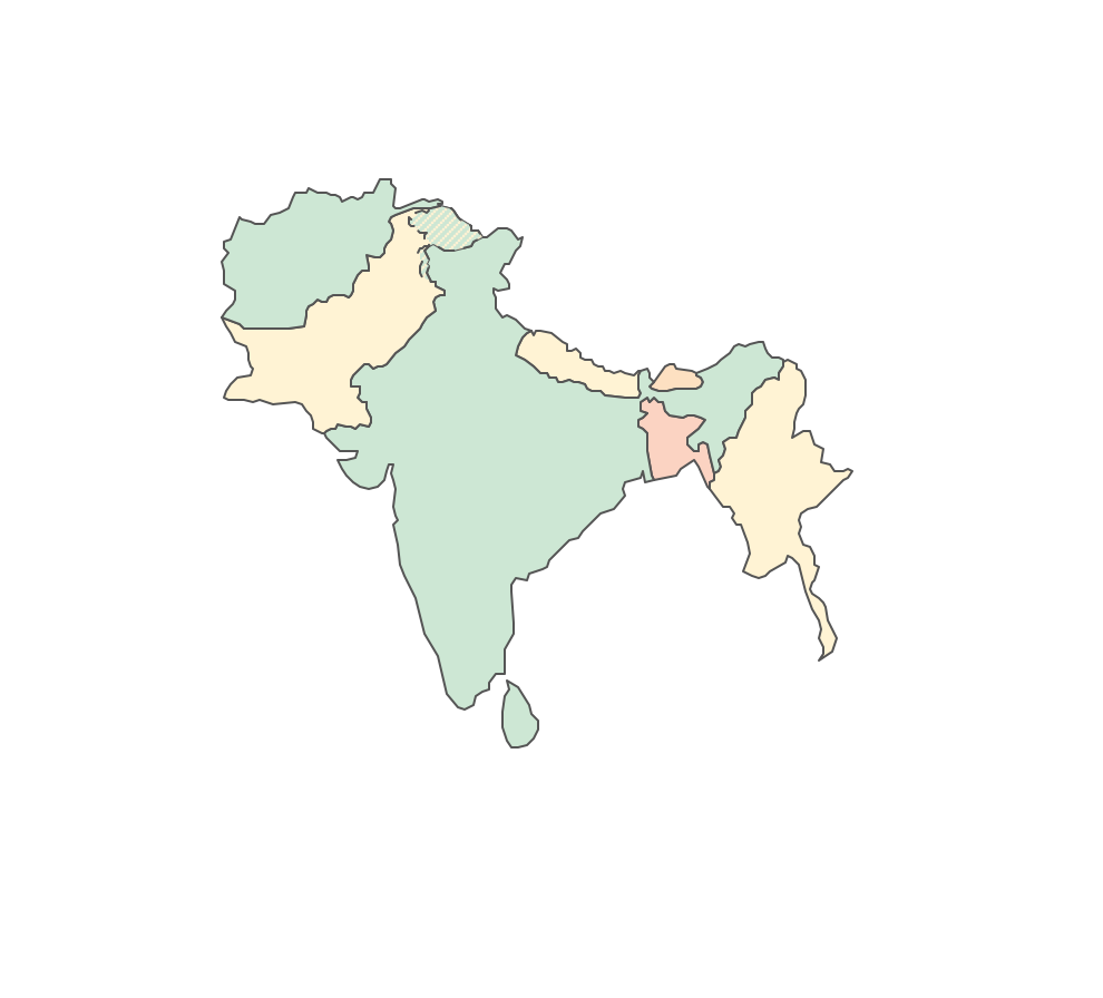
South Asia or Southern Asia is a term used to represent the southern region of the Asian continent, which comprises the sub-Himalayan SAARC countries and, for some authorities, adjoining countries to the west and east. It includes 8 countries:
- Sri Lanka
- Maldives
- India
- Nepal
- Bangladesh
- Bhutan
- Pakistan
- Afghanistan
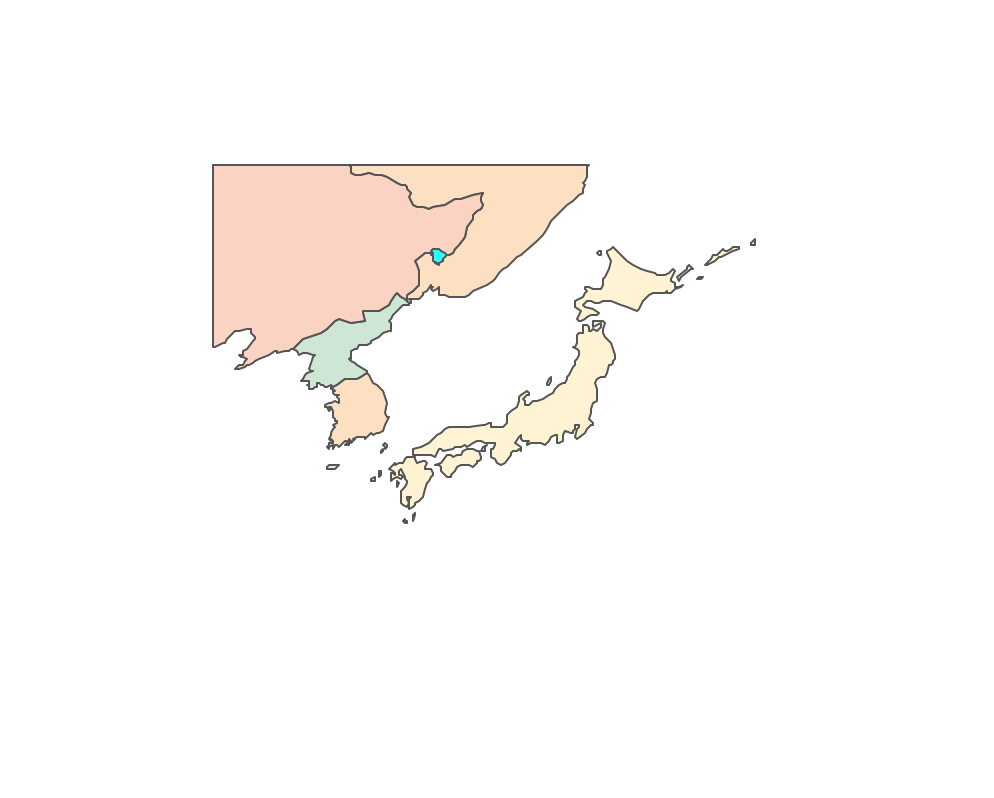
East Asia or Eastern Asia is the eastern subregion of the Asian continent, which can be defined in either geographical or cultural terms. It includes 6 countries:
- Taiwan
- Japan
- South Korea
- North Korea
- China
- Mongolia
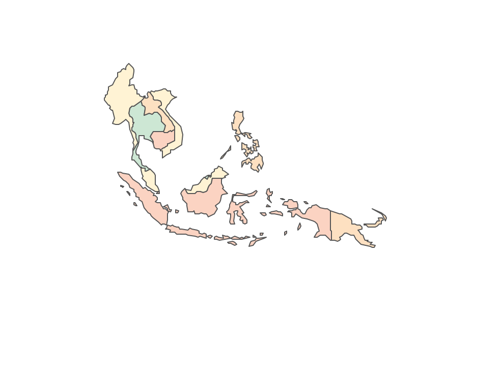
Southeast Asia or Southeastern Asia is a subregion of Asia, consisting of the countries that are geographically south of China, east of India, west of New Guinea, and north of Australia. It includes 11 countries:
- Philippines
- Vietnam
- Cambodia
- Laos
- Myanmar
- Thailand
- Malaysia
- Singapore
- Brunei Darussalam
- Indonesia
- Timor-Leste
North Asia contains the Siberia part of Russia.

Geo Map Insights: Asia's Countries with Capitals
The countries of Asia and their capital cities differ in level of economic development and standard of living, and some of them are included in the top of the world's most popular places for travel.
- Afghanistan – Kabul
- Armenia – Yerevan
- Azerbaijan – Baku
- Bahrain – Manama
- Bangladesh – Dhaka
- Bhutan – Thimphu
- Brunei – Bandar Seri Begawan
- Cambodia – Phnom Penh
- China – Beijing
- Cyprus – Nicosia
- Georgia – Tbilisi
- India – New Delhi
- Indonesia – Jakarta
- Iran – Tehran
- Iraq – Baghdad
- Israel – Jerusalem
- Japan – Tokyo
- Jordan – Amman
- Kazakhstan – Astana
- Kuwait – Kuwait City
- Kyrgyzstan – Bishkek
- Laos – Vientiane
- Lebanon– Beirut
- Malaysia – Kuala Lumpur
- Maldives – Male
- Mongolia – Ulaanbaatar
- Myanmar – Naypyidaw
- Nepal – Kathmandu
- North Korea – Pyongyang
- Oman – Muscat
- Pakistan – Islamabad
- Palestine – Jerusalem
- Philippines – Manila
- Qatar – Doha
- Russia – Moscow
- Saudi Arabia – Riyadh
- Singapore – Singapore
- South Korea – Seoul
- Sri Lanka – Sri Jayawardenepura Kotte
- Syria – Damascus
- Taiwan – Taipei
- Tajikistan – Dushanbe
- Thailand – Bangkok
- Timor-Leste – Dili
- Turkey – Ankara
- Turkmenistan – Ashgabat
- United Arab Emirates – Abu Dhabi
- Uzbekistan – Tashkent
- Vietnam – Hanoi
- Yemen – Sanaa
Asia Through Maps: Benefits of Using ConceptDraw DIAGRAM Software
It is incredibly convenient to use maps to explore Asia, its geographical diversity, and analyze the features of the continent. You can always buy a map, but once you don’t find the one you need, then you can always draw your own map. If you think it’s not a simple thing to do, then you may be right in case you don’t have the software for simple map drawing.
ConceptDraw DIAGRAM is a well-known software, which allows you as well as its other users to make any kind of drawing, including maps and schemes, and gives comprehensive instructions on how to draw map. Mentioning the continent bounded by the Pacific Ocean on the east and the Indian Ocean on the south, as well as the Arctic Ocean on the north, you can always create a map of Asia with the help of ConceptDraw DIAGRAM best map drawing software enhanced with Continent Maps solution.

Example 4. Continent Maps Solution
How to Design Asia Map in ConceptDraw DIAGRAM Software
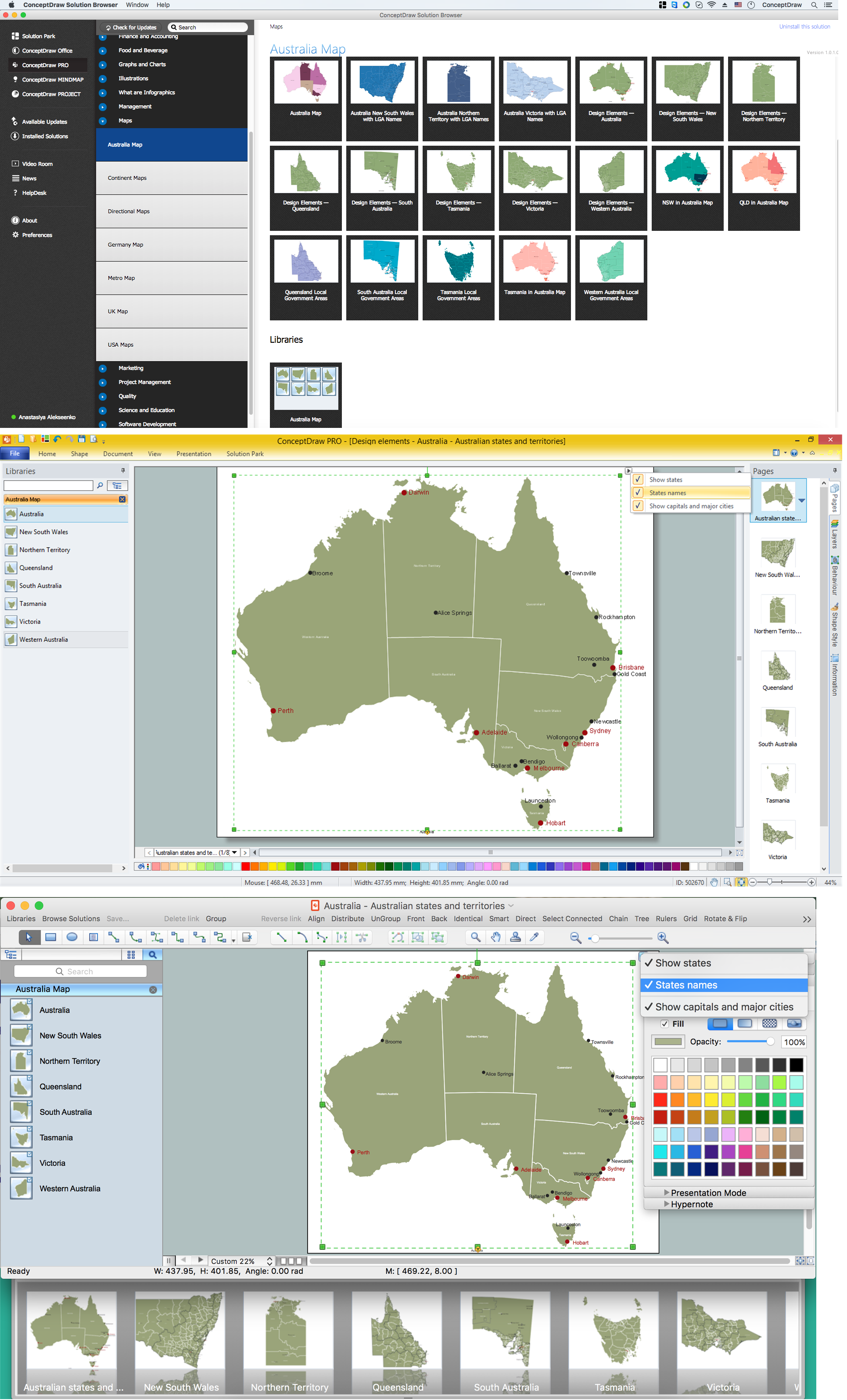
After downloading ConceptDraw DIAGRAM vector drawing software you might not even need to think about how to draw map of Asia and the location of each country and its place in Asia. Because there are so many already made maps to choose from in the solution named the Continent Maps solution from the Maps area of ConceptDraw Solution Park. You can also always download the ConceptDraw STORE application all together with ConceptDraw DIAGRAM where you can find so many other solutions and varied vector stencil libraries, pre-made templates, and samples.
The Continent Maps solution includes the vector design elements library “Asia”, which contains the country map contours to be used in ConceptDraw DIAGRAM map drawing program while making your map of Asia. Using them, you can simplify your drawing map of Asia and make the process of creating the needed map entertaining and fun. This solution contains the libraries with the design elements of 57 map contours: Asia political map and map contours of countries.
You can choose to use separately the shapes of Central Asia, East Asia, Southeast Asia, South Asia, all of Asia or you can pick up one of the needed shapes of these territories: Afghanistan, Armenia, Azerbaijan, Bahrain, Bangladesh, Bhutan, Brunei, Cambodia, China, Cyprus, Georgia, India, Indonesia, Iran, Iraq, Israel, Japan, Jordan, Kazakhstan, Kuwait, Kyrgyzstan, Laos, Lebanon, Malaysia, Maldives, Mongolia, Myanmar (Burma), Nepal, North Korea, Oman, Pakistan, Palestine, Philippines, Qatar, Russia, Saudi Arabia, Singapore, South Korea, Sri Lanka, Syria, Taiwan, Tajikistan, Thailand, Timor-Leste, Turkey, Turkmenistan, United Arab Emirates (UAE), Uzbekistan, Vietnam or Yemen.

Example 5. Asia Library Design Elements
There are many rivers all over Asia, including the Ural River, and all of them should also be included in your Asia map simple drawing. Suez Canal, Ural Mountains, Caucasus Mountains, and seas, which are Caspian and Black, are all a part of Asia. Making your own map of all that, we recommend you not to forget to mention all of that area relief using the different colors.
You can find the map showing only contour lines of the whole continent of Asia, map of Asia with names drawing, or another map showing the population in each country. The samples provided by the team of CS Odessa which can be found in ConceptDraw STORE show Central Asia as the core region of the Asian continent which extends from the Caspian Sea in the west to China in the east; from Afghanistan in the south to Russia in the north.
There are also 116 vector shapes in the “Flags” library of the Continent Maps solution illustrating the flags of Asia countries and other countries in colors as they are and you can always use some of them or all of them.

Example 6. Design Elements Asia Flags
Use Cases
Having ConceptDraw DIAGRAM best app for drawing maps all together with other products of CS Odessa means having just enough to make your own great-looking drawings and enjoy the result which you can expect to get only in a few hours in case you make your map from a scratch, or even in a few minutes in case you use the right solution.
Having our CS Odessa team support working for ConceptDraw DIAGRAM users means having the support during all of the time you have and use this application, and it makes it simpler to utilize the software.

Example 7. Continent Map – East Asia Map
Conclusion
Download ConceptDraw DIAGRAM map drawing software today and make it possible to see the final great-looking example of what you created yourself with the help of the modern tool which is this unique application.
The solutions with examples and templates of already previously made maps, charts, schemes, and other drawings can be also found here on this site. All you need is to choose those that you think can be useful and helpful for you and start using them today in easy drawing map, so you can get the final result looking very sophisticated in a very short period of time.
Use the Continent Maps solution to draw thematic maps, geospatial infographics, and vector illustrations for your business documents, presentations, and websites. All of your final drawings will be vector graphic files and all of them are always available for reviewing, modifying, and converting to a variety of formats, such as image, HTML, PDF file, MS PowerPoint Presentation, Adobe Flash, and MS Visio (.VDX, .VSDX).