Continents Map
Designing of Continents Map is a quite complex and labour-intensive process. But now we have a way to make it easier - ConceptDraw DIAGRAM diagramming and vector drawing software extended with useful drawing tools of Continent Maps Solution from the Maps Area.


Example 1. Continents Map - Canada Regions Map
Continent Maps Solution includes the extensive drawing tools and 13 libraries with 677 ready-to-use vector objects:
- Africa
- Africa Flags
- Asia
- Asia Flags
- Australia
- Canada
- Europe
- Europe Flags
- Flags
- North and Central America Flags
- South America
- South America Flags
- United States of America
The objects from these libraries, and also predesigned templates and samples offered in ConceptDraw STORE will allow you instantly draw any Continents Map you desire.
Look at these 12 templates included in Continent Maps Solution. These are templates for all six inhabited continents of the Earth. You can choose any which meets your requirements and make your own map on its base.

Example 2. Continents Map - South Asia
The Continents Map samples you see on this page were created in ConceptDraw DIAGRAM software using the tools of the Continent Maps solution. An experienced user spent 10 minutes creating each of these samples.
Use the Continent Maps solution for ConceptDraw DIAGRAM software to create your own Continents Map quick, easy and effective, and then successfully use it in your work.
All source documents are vector graphic documents. They are available for reviewing, modifying, or converting to a variety of formats (PDF file, MS PowerPoint, MS Visio, and many other graphic formats) from the ConceptDraw STORE. The Continent Maps Solution is available for all ConceptDraw DIAGRAM or later users.
NINE RELATED HOW TO's:
The Central African Republic is a landlocked country in Central Africa. It is bordered by Chad in the north, Sudan in the northeast, South Sudan in the east, the Democratic Republic of the Congo and the Republic of the Congo in the south and Cameroon in the west.
The vector stencils library Central African Republic contains contours for ConceptDraw DIAGRAM diagramming and vector drawing software. This library is contained in the Continent Maps solution from Maps area of ConceptDraw Solution Park.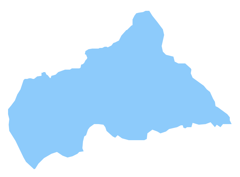
Picture: Geo Map - Africa - Central African Republic
Related Solution:
Belize is a country on the northeastern coast of Central America.
The vector stencils library Belize contains contours for ConceptDraw DIAGRAM diagramming and vector drawing software. This library is contained in the Continent Maps solution from Maps area of ConceptDraw Solution Park.
Picture: Geo Map - South America - Belize
Related Solution:
Lebanon, officially the Lebanese Republic, is a Democratic Republic country in the East Mediterranean.
The vector stencils library Lebanon contains contours for ConceptDraw DIAGRAM diagramming and vector drawing software. This library is contained in the Continent Maps solution from Maps area of ConceptDraw Solution Park.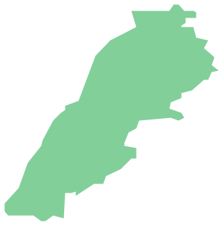
Picture: Geo Map - Asia - Lebanon
Related Solution:
Design versatile maps based on the South America continent map effortlessly. 🔸 Create stunning and detailed South America maps and use them in ✔️ presentations, ✔️ educational materials, ✔️ websites, ✔️ business documents
Picture: Geo Map — South America Continent
Related Solution:
Brazi, officially the Federative Republic of Brazil, is the largest country in both South America and the Latin American region.
The vector stencils library Brazil contains contours for ConceptDraw DIAGRAM diagramming and vector drawing software. This library is contained in the Continent Maps solution from Maps area of ConceptDraw Solution Park.
Picture: Geo Map - South America - Brazil
Related Solution:
A continent is one of several very large landmasses on Earth. ConceptDraw DIAGRAM diagramming and vector drawing software offers the unique Continent Maps Solution from the Maps Area which is indispensable for drawing the map of continents of the Earth.
Picture: Map of Continents
Related Solution:
ConceptDraw DIAGRAM diagramming and vector drawing software enhanced with Continent Maps Solution from the Maps Area is the best for drawing geographic, topography, political, and many other kinds of maps for any of seven earth continents and also world continents map of any detailing.
Picture: World Continents Map
Related Solution:


