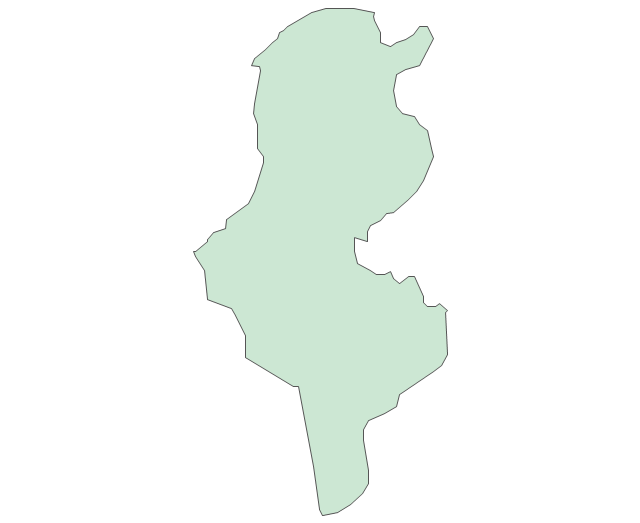
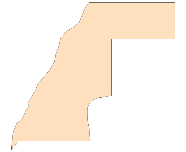
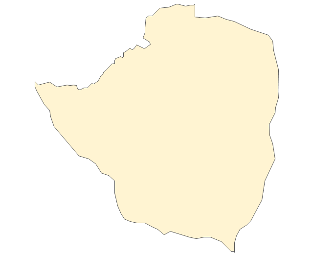
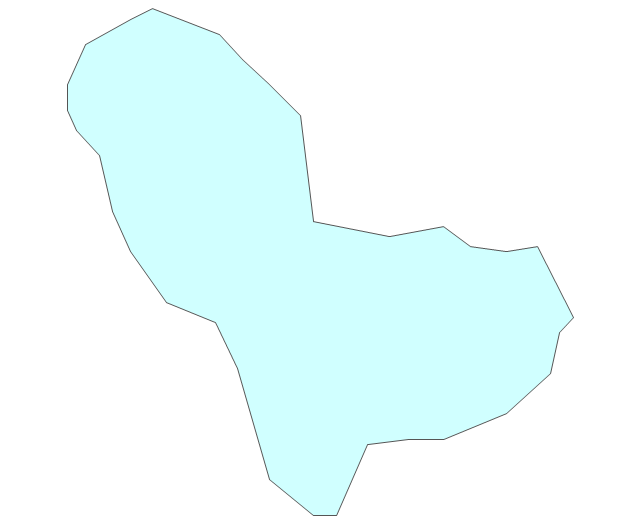
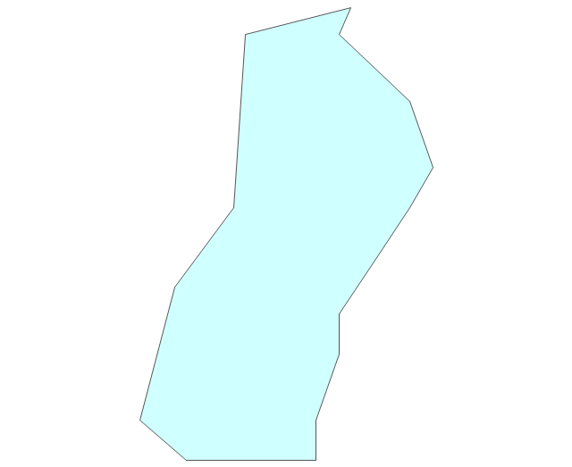
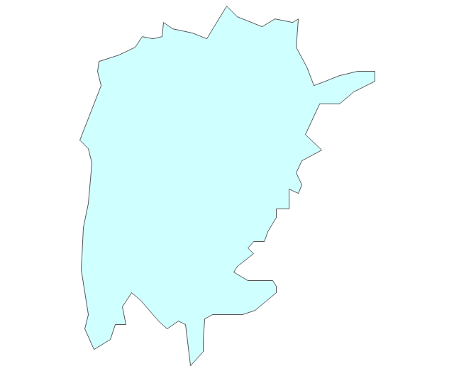
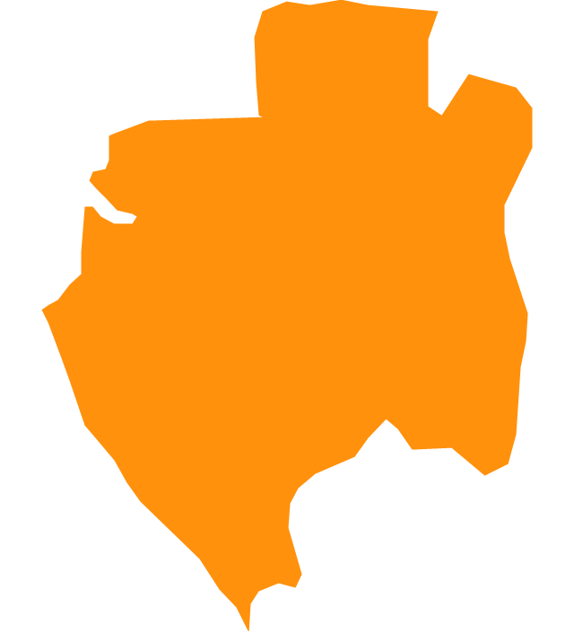
Geo Map - Africa - Zimbabwe

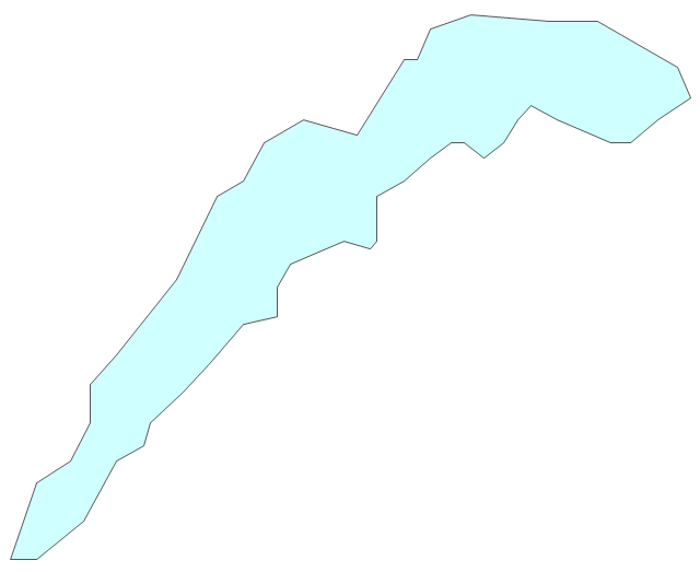
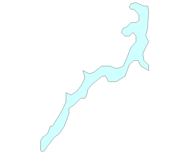
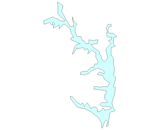
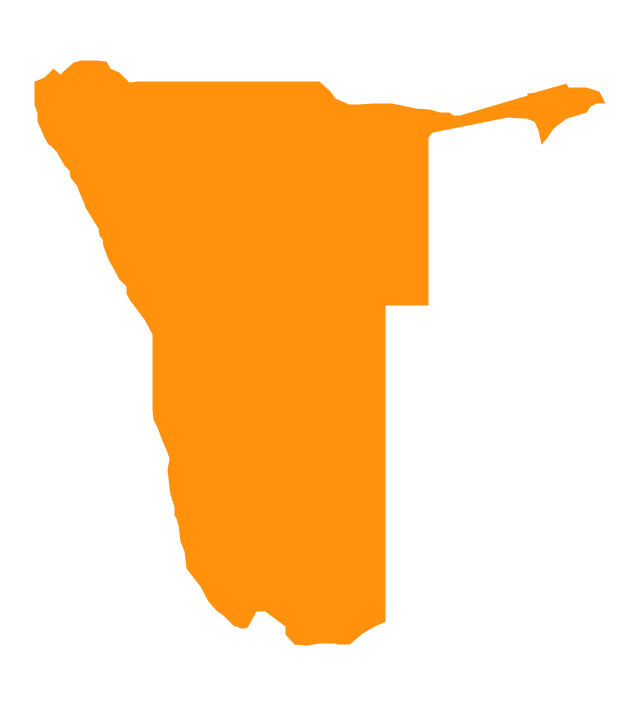
Geo Map - Africa - Namibia

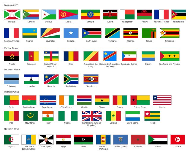
The vector stencils library "African country flags" contains 54 clipart images of Africa state flags.
Use the African country flags clip art to illustrate your business documents, presentation slides, web pages, geo maps and infographics.
The clip art example "African country flags - Vector stencils library" was created using the ConceptDraw PRO diagramming and vector drawing software extended with the Artwork solution from the Illustration area of ConceptDraw Solution Park.
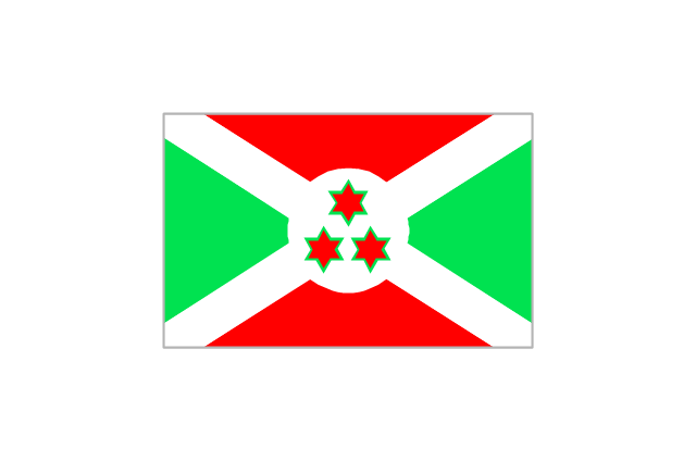
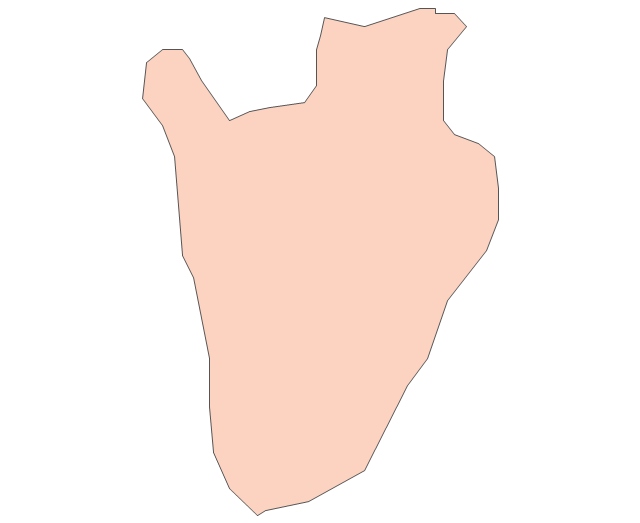
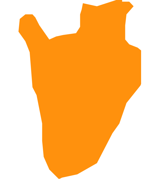
Burundi
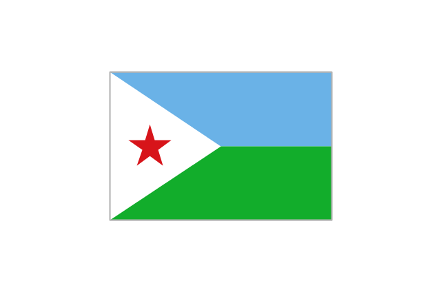
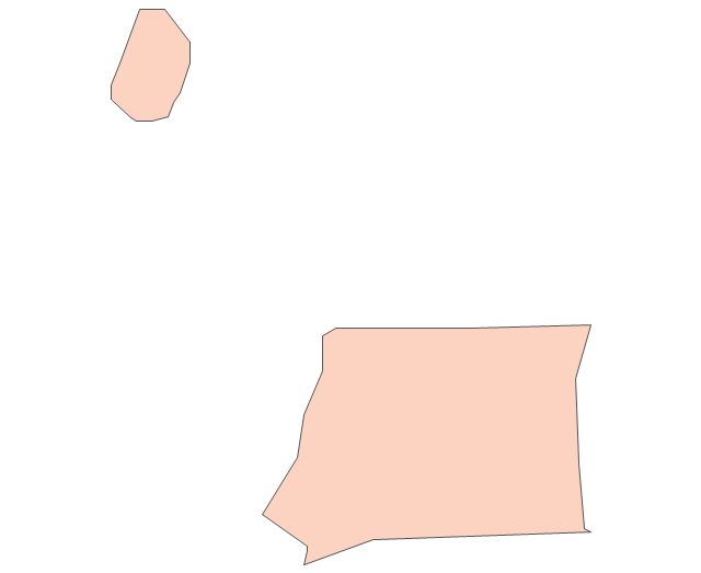
Djibouti
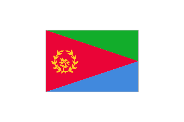
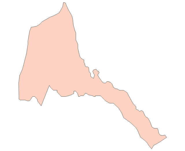
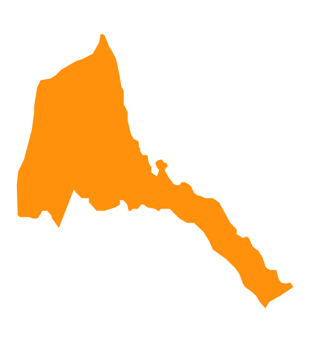
Eritrea
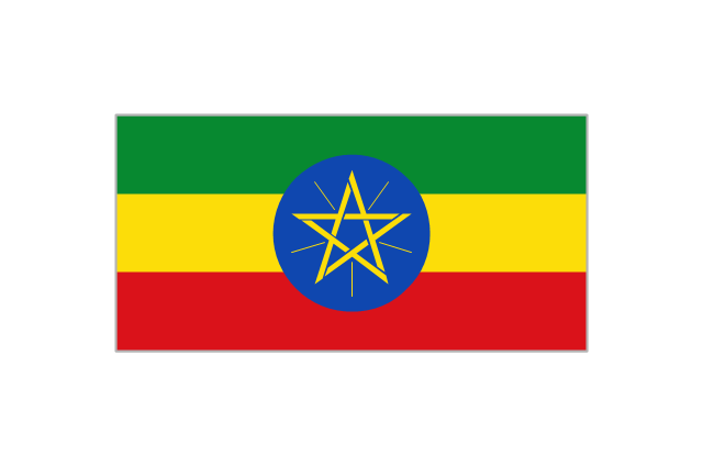
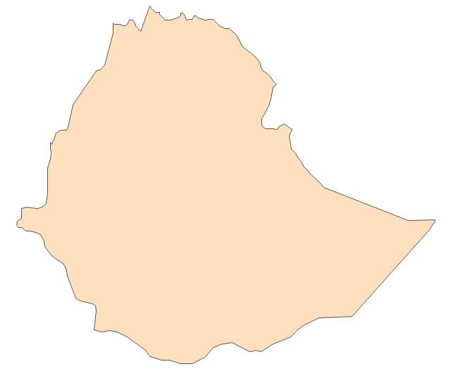
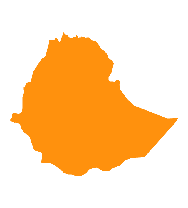
Ethiopia
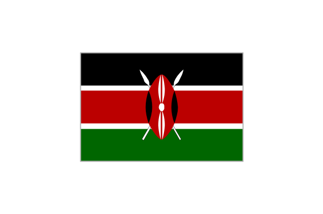
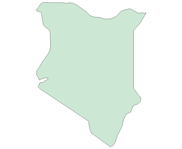
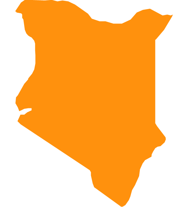
Kenya
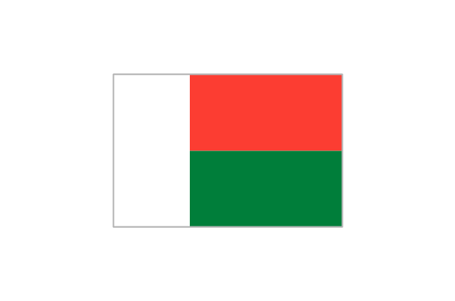
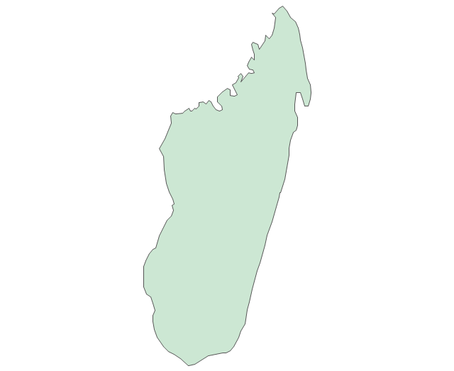
Madagascar
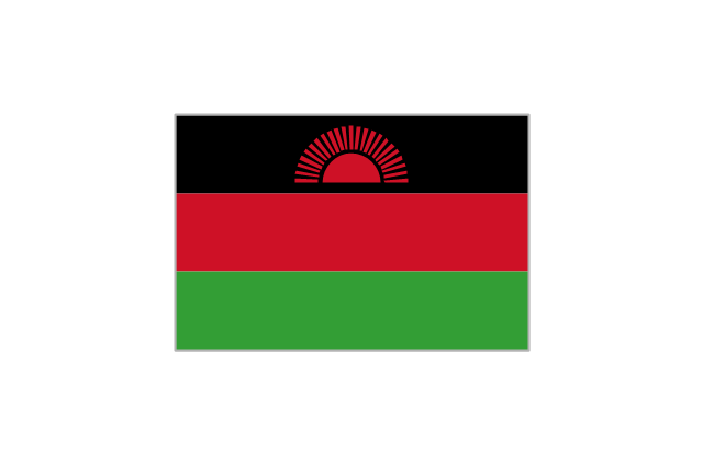
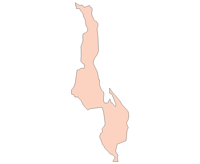
Malawi
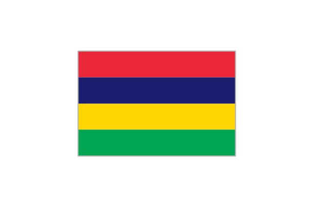
Mauritius
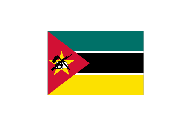
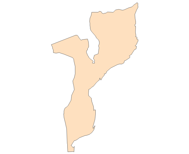
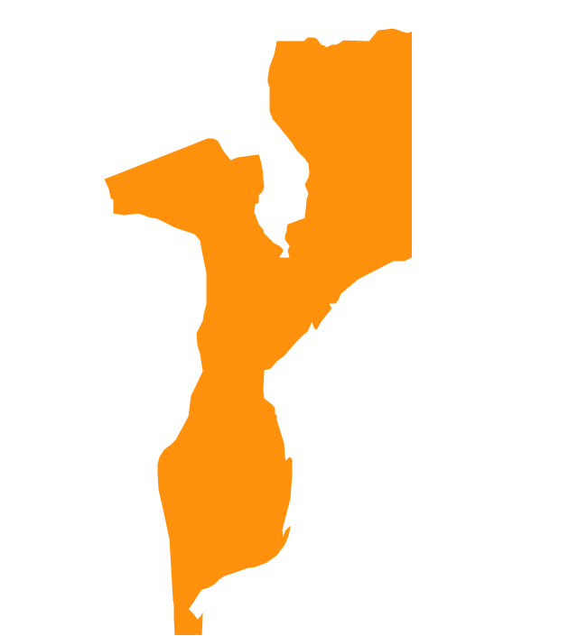
Mozambique
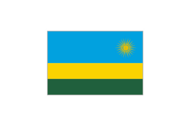
Rwanda
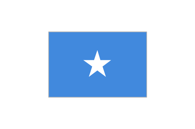
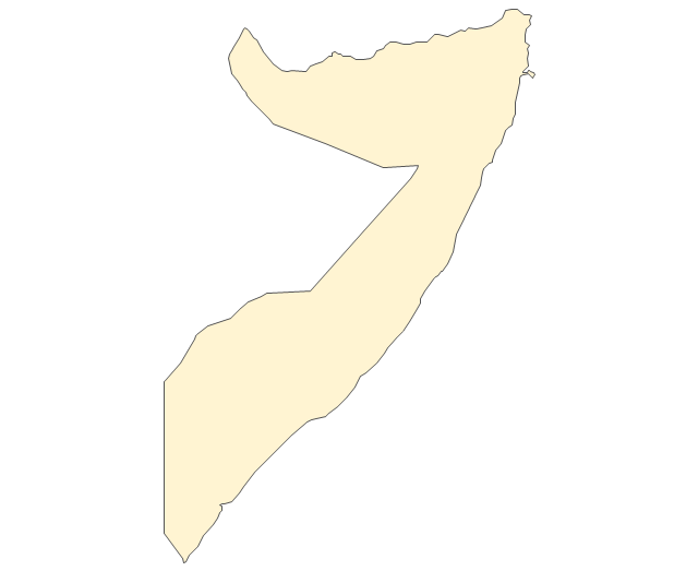
Somalia
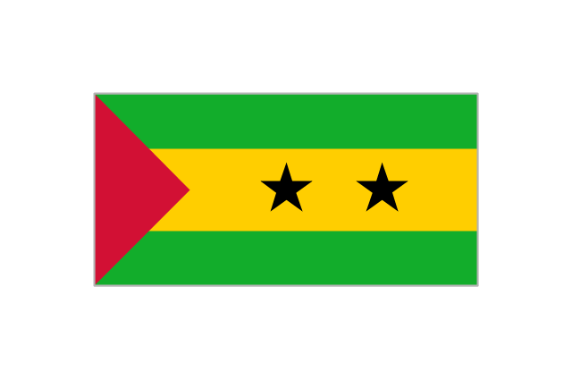
São Tomé and Príncipe
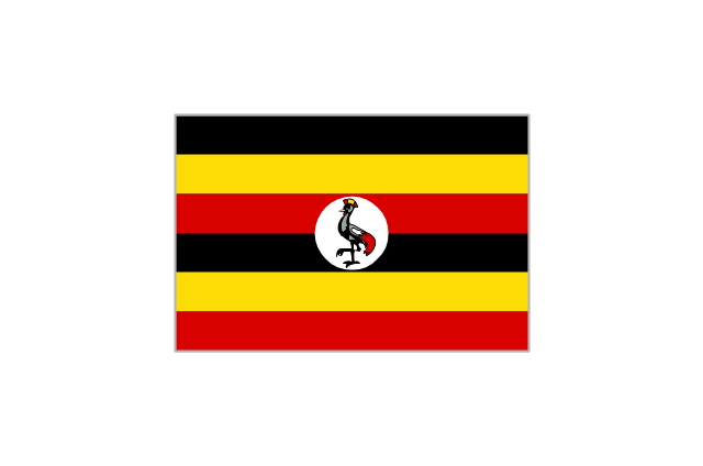
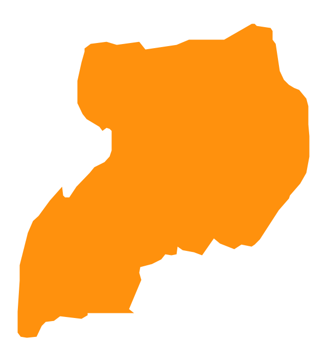
Uganda
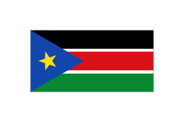
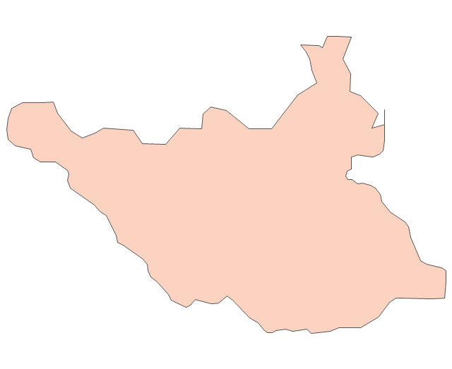
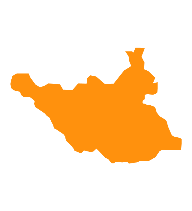
South Sudan
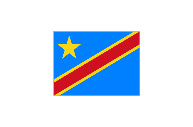
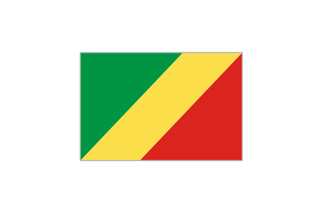
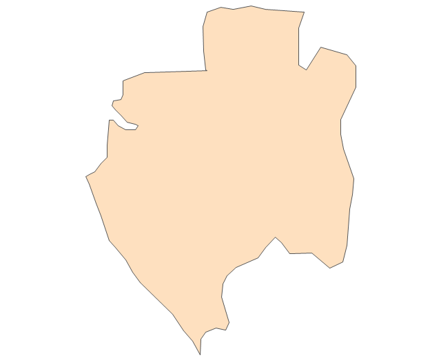
Congo
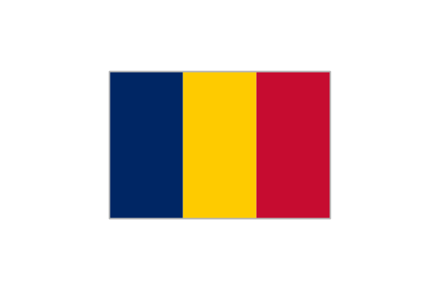
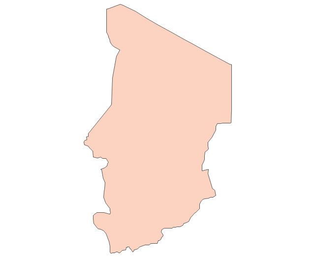
Chad
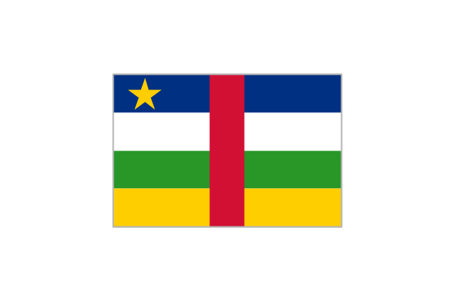
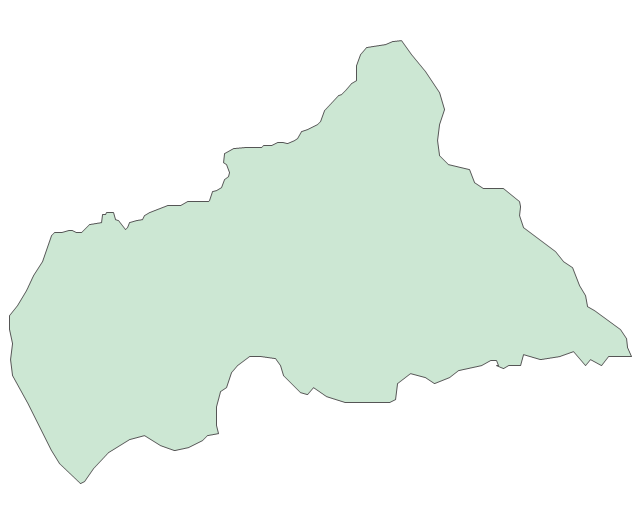
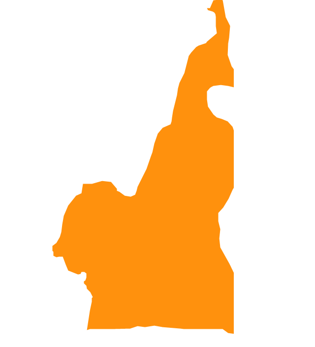
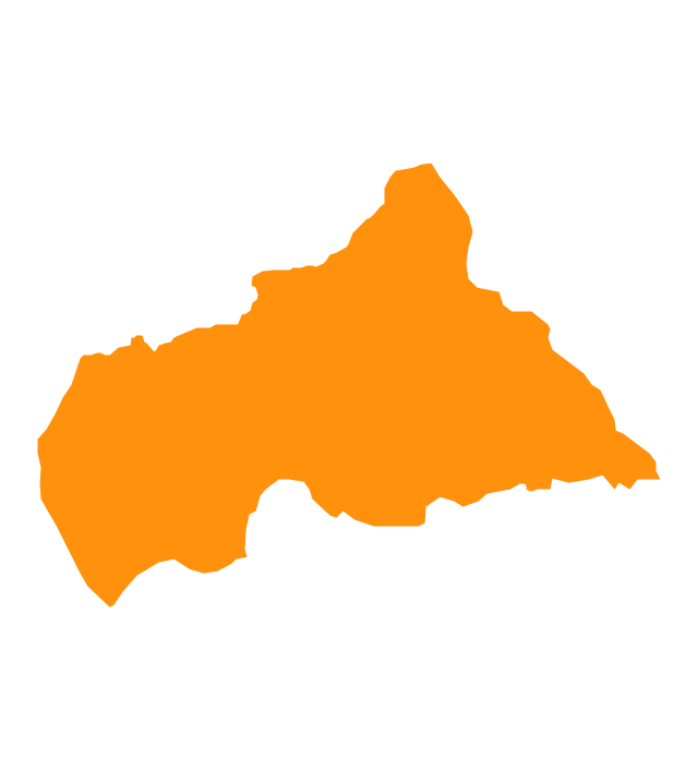
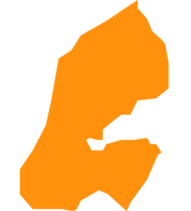
Central African Republic
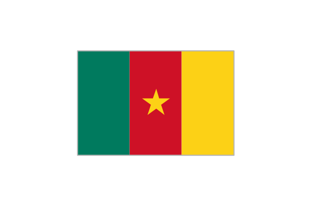
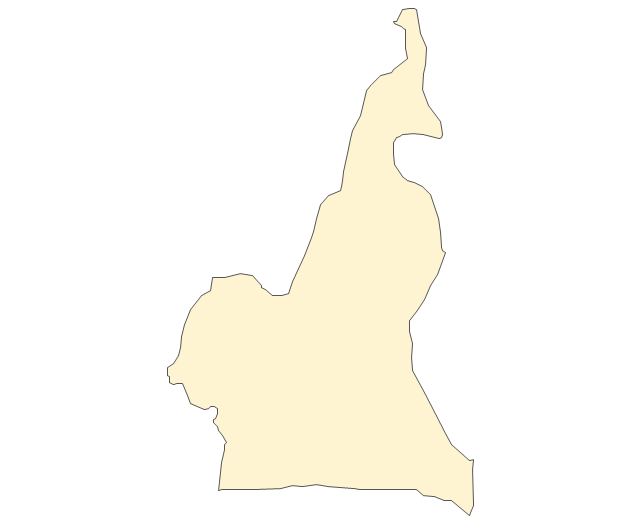
Cameroon
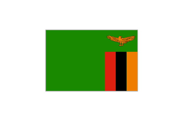
Zambia
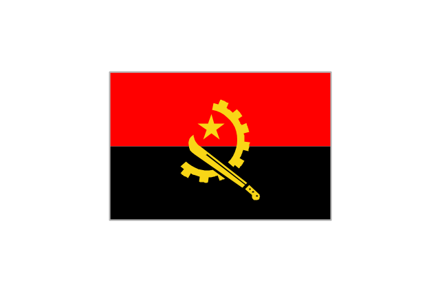
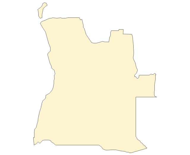
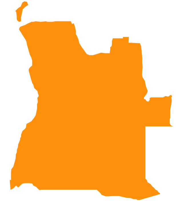
Angola
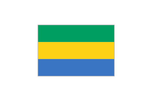
Gabon
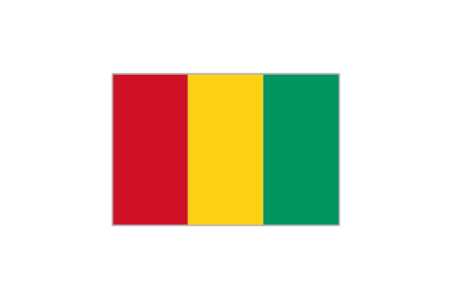
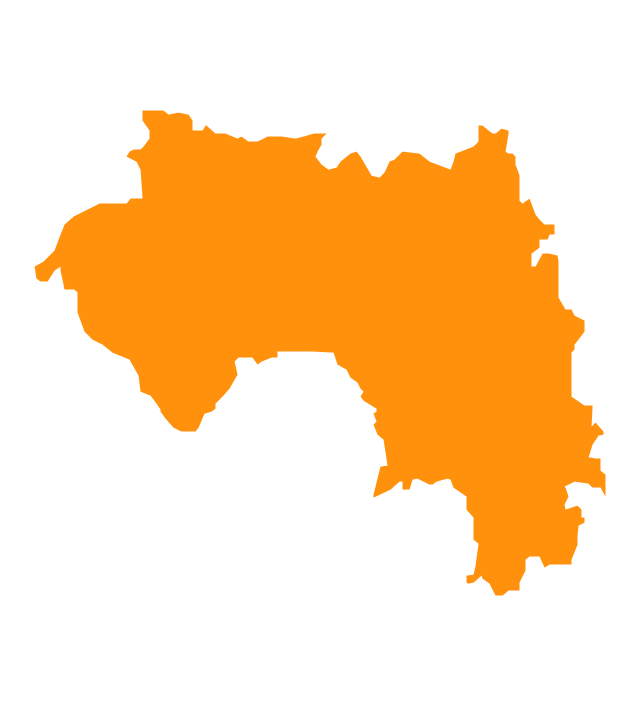
Guinea
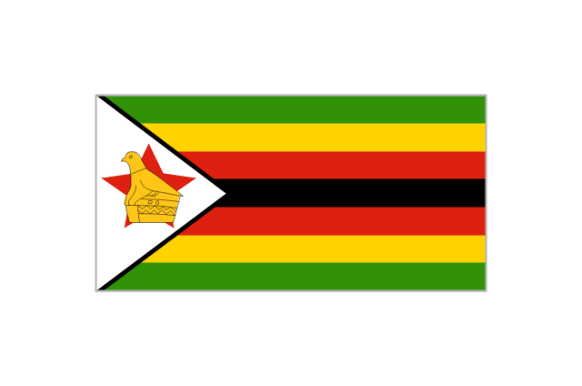
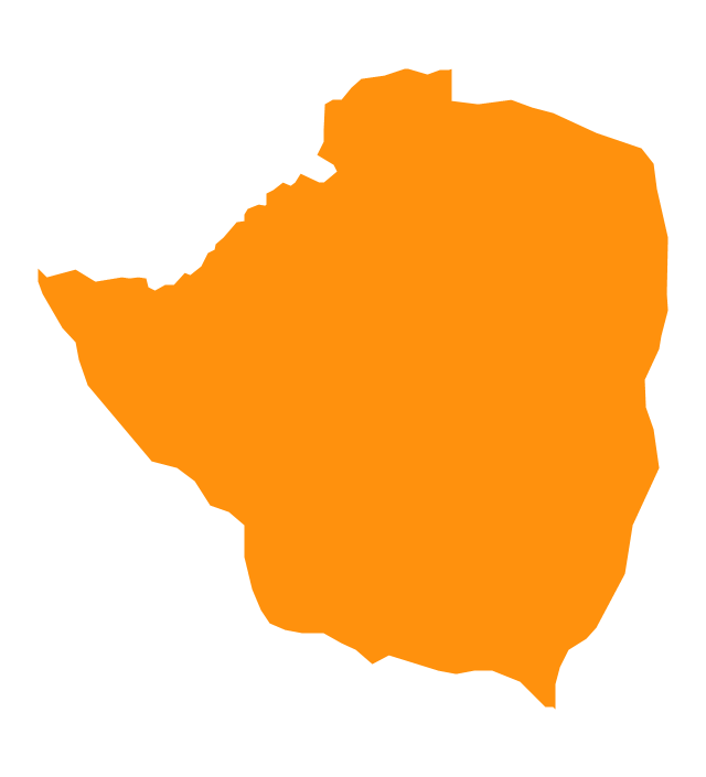
Zimbabwe
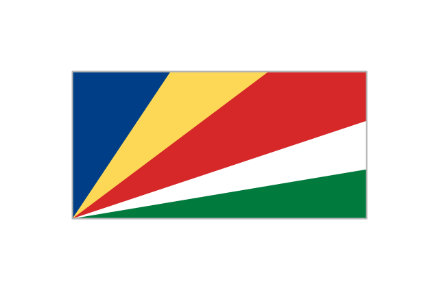
Seychelles
Congo
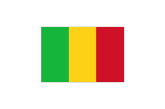
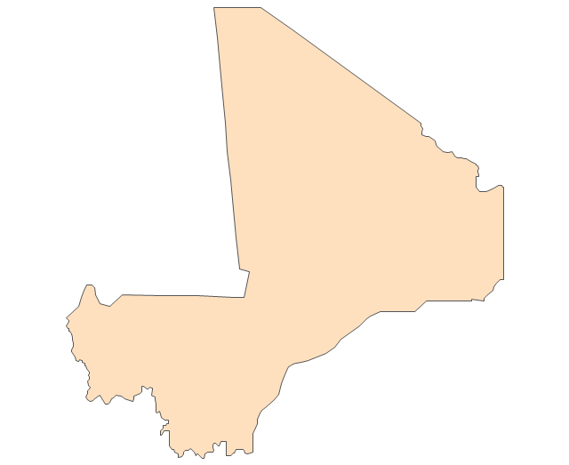
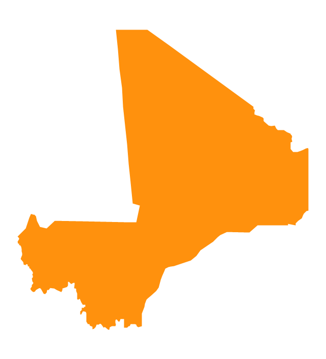
Mali
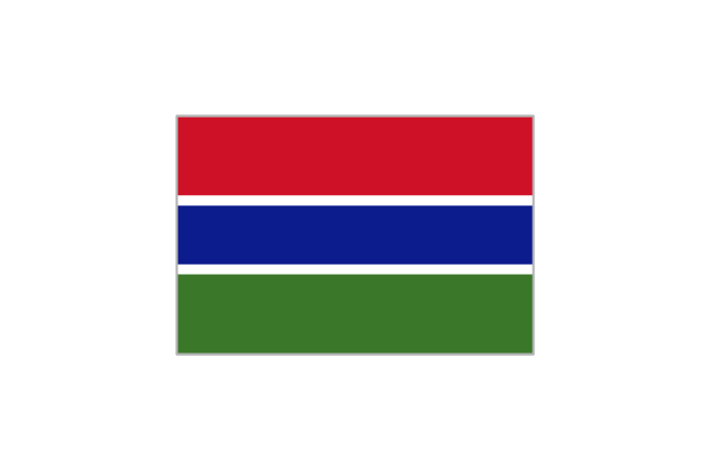
Gambia
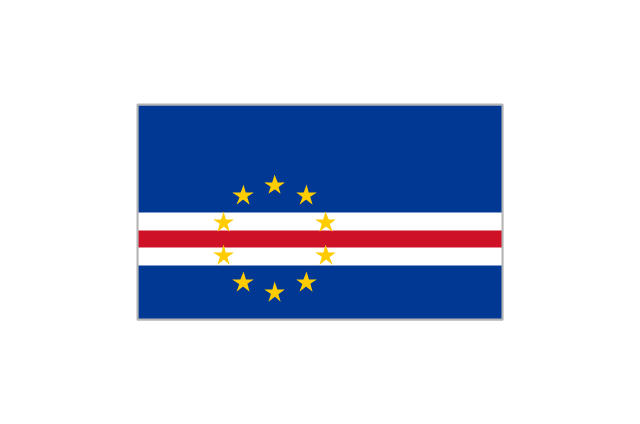
Cape Verde
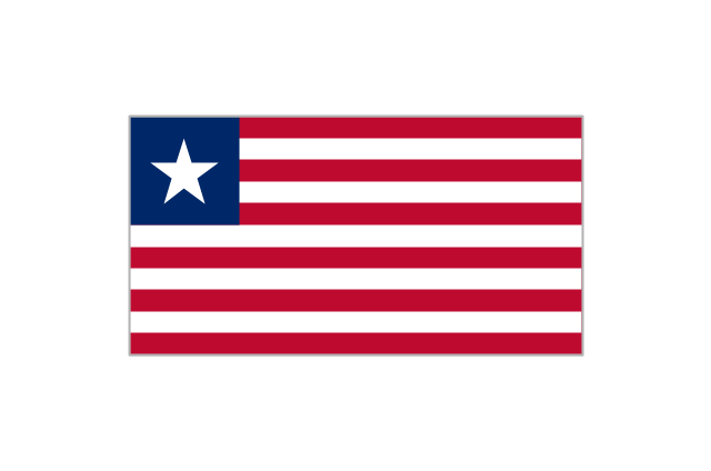
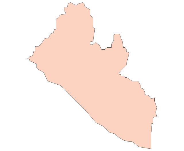
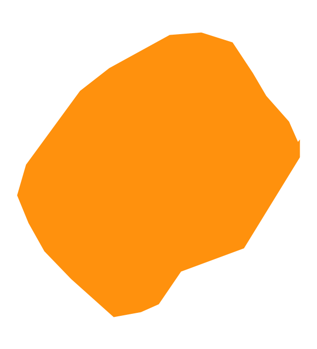
Liberia
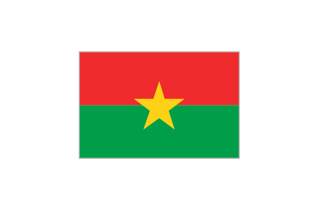
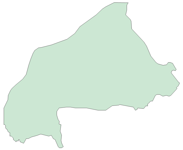
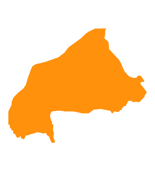
Burkina Faso
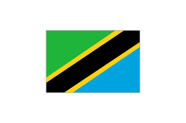
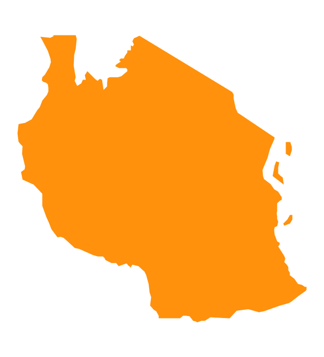
Tanzania
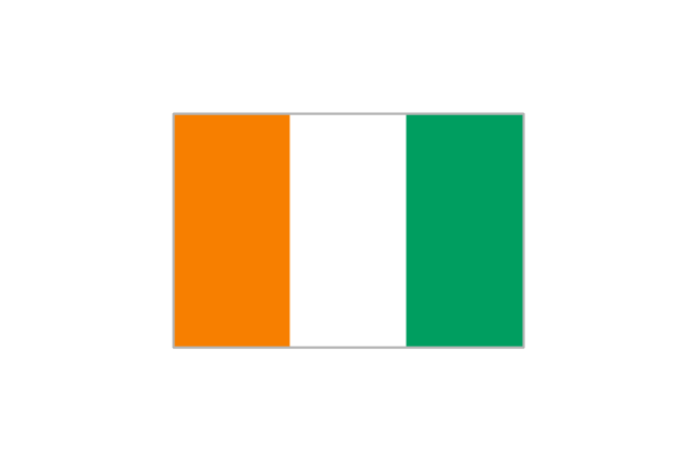
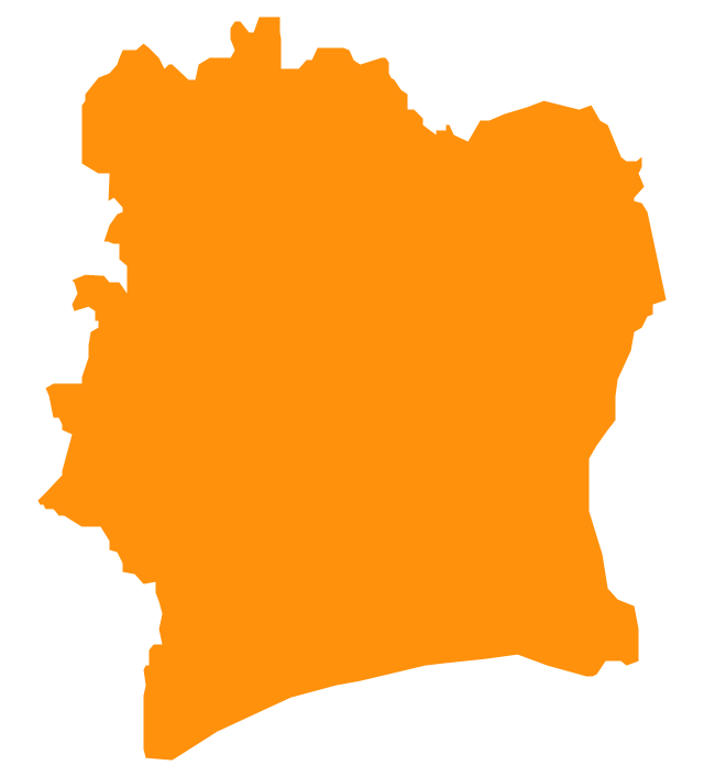
Côte d'Ivoire
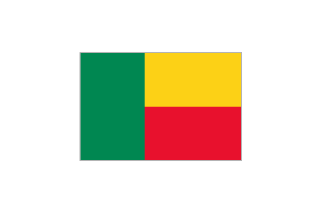
Benin
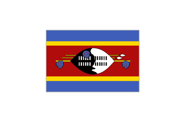
Swaziland
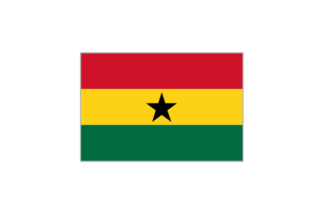
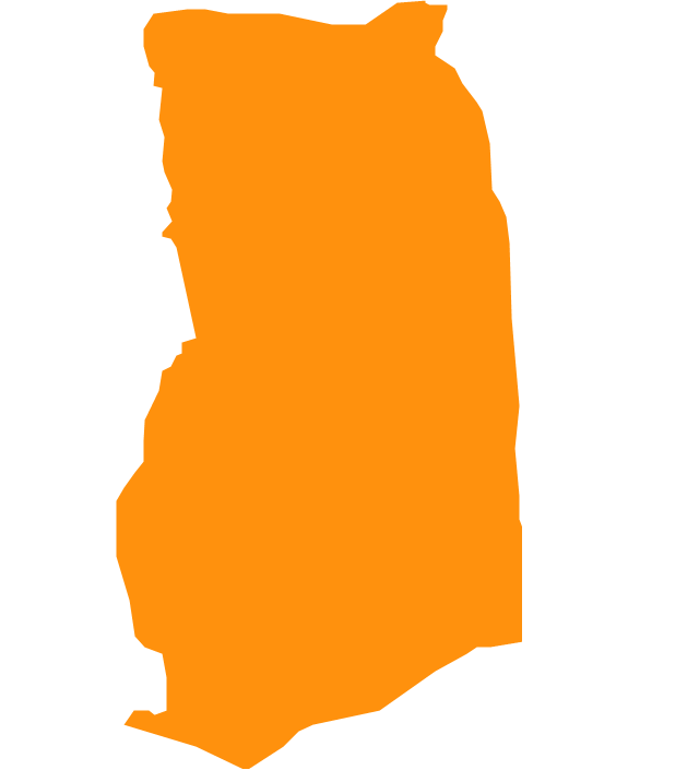
Ghana
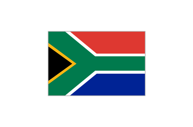
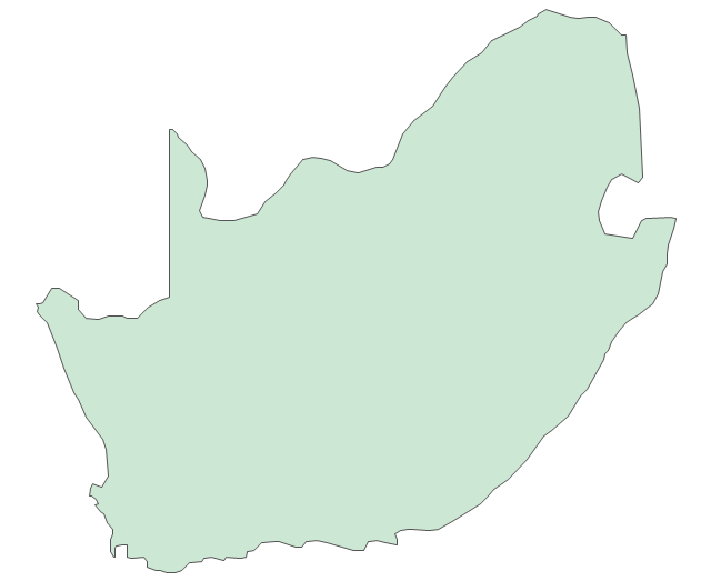
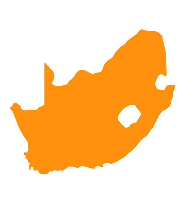
South Africa
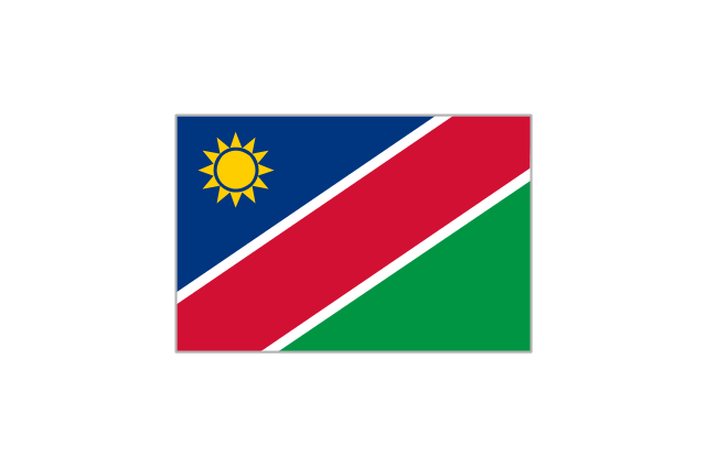
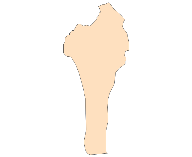
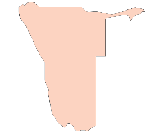
Namibia
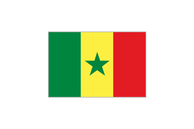
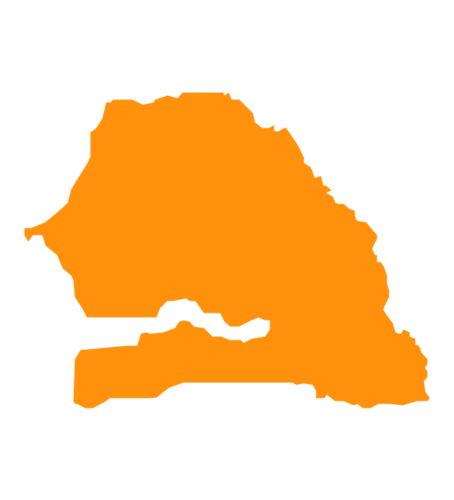
Senegal
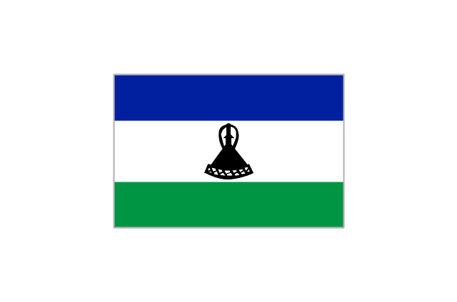
Lesotho
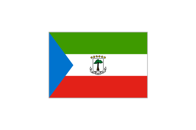
Equatorial Guinea
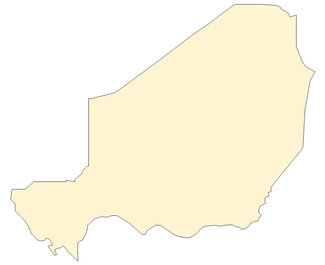
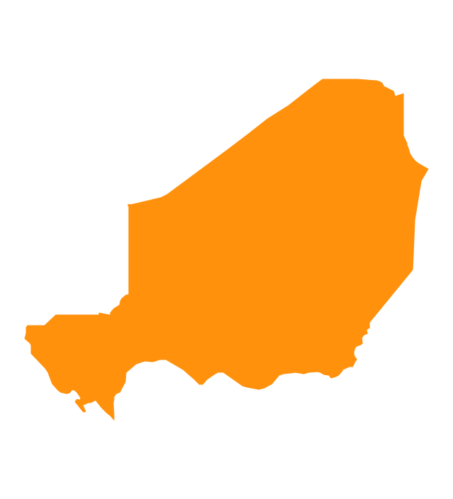
Niger
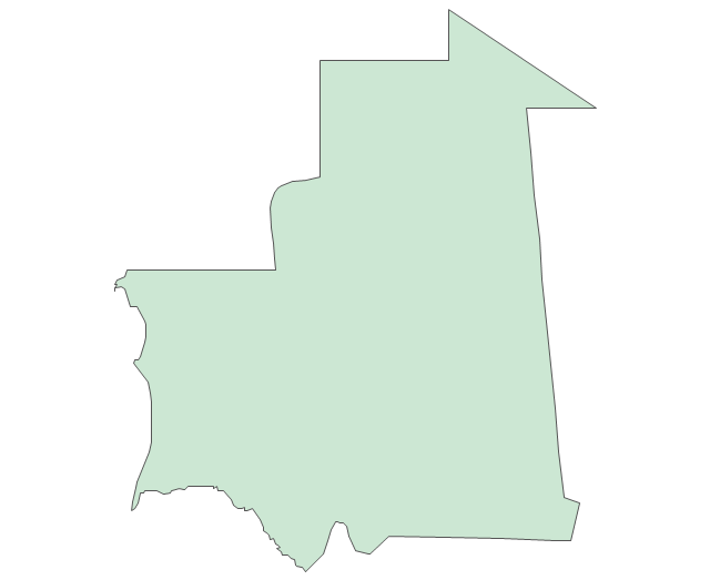
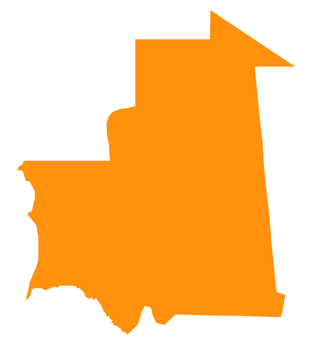
Mauritania
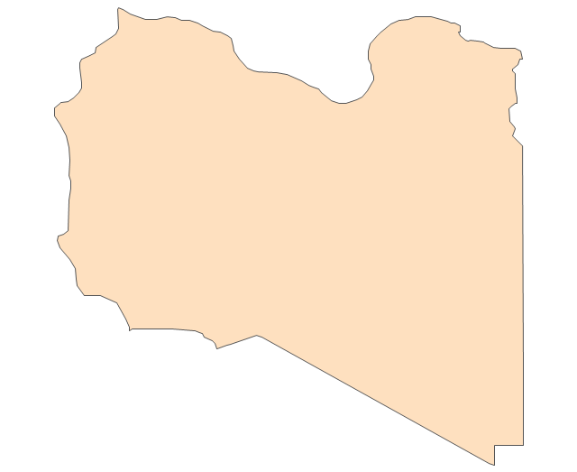
Libya
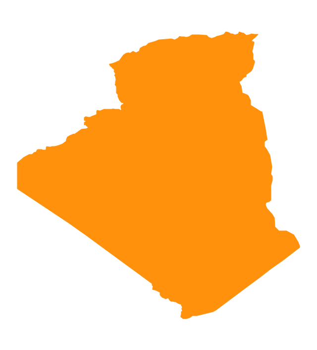
Algeria
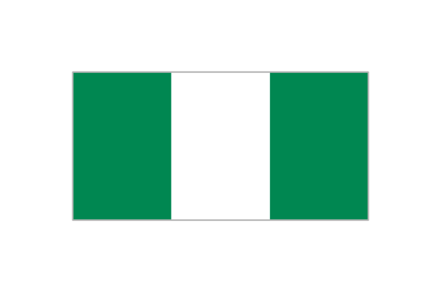
Nigeria
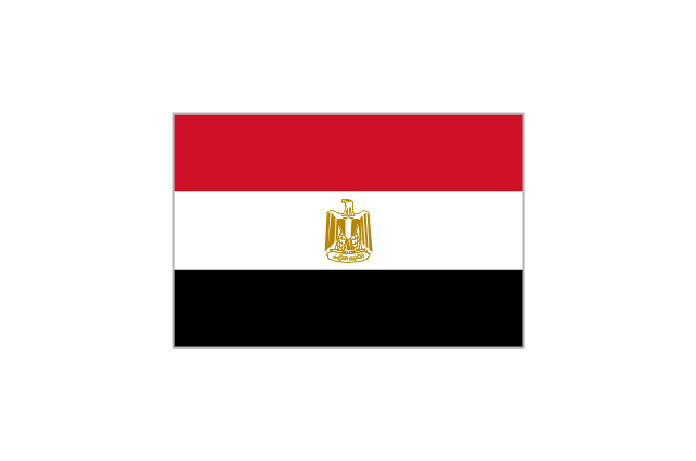
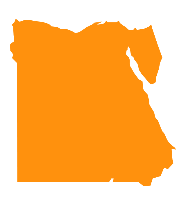
Egypt
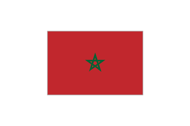
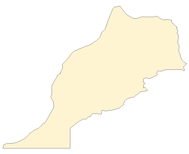
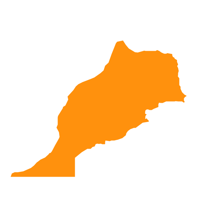
Morocco
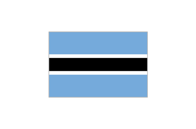
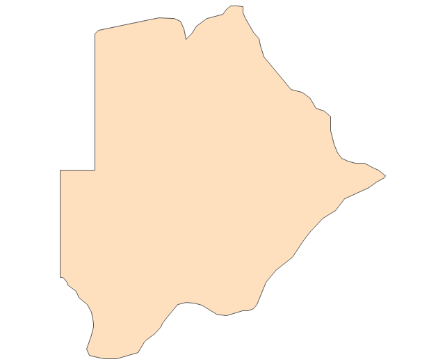
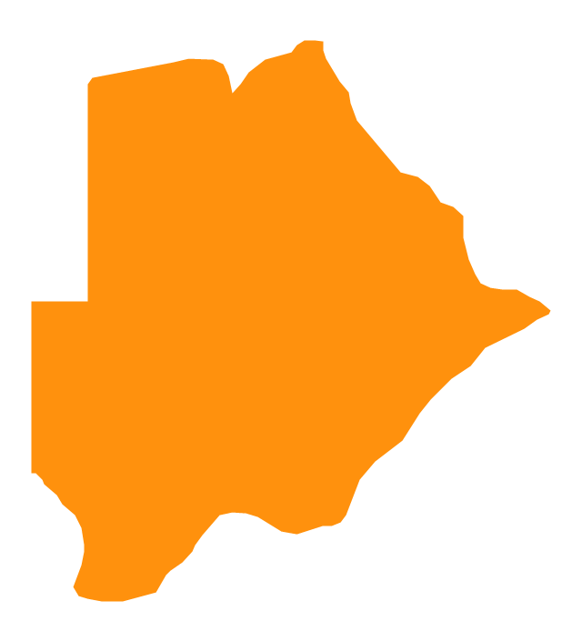
Botswana
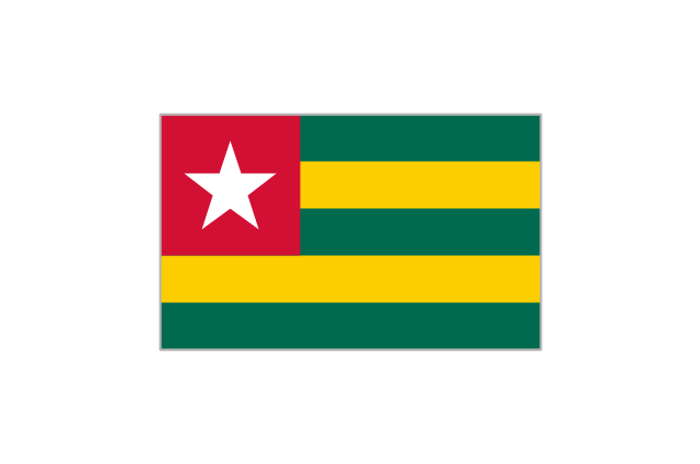
Togo
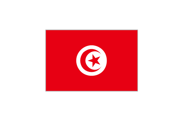
Tunisia
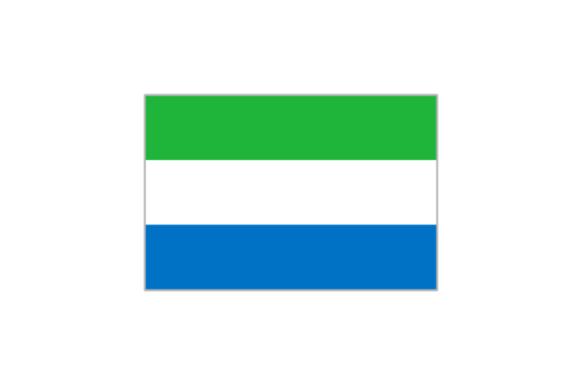
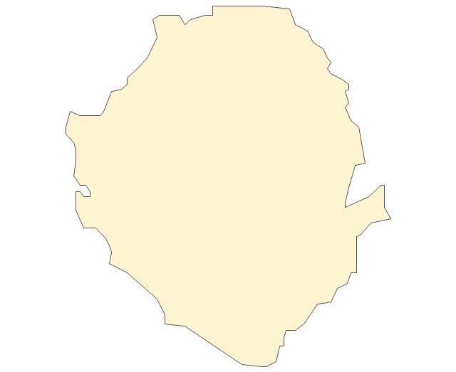
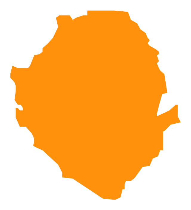
Sierra Leone
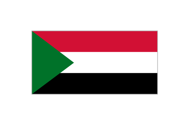
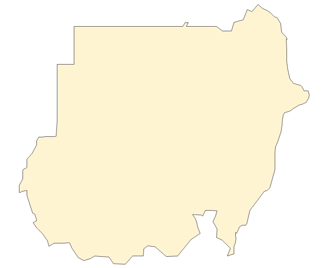
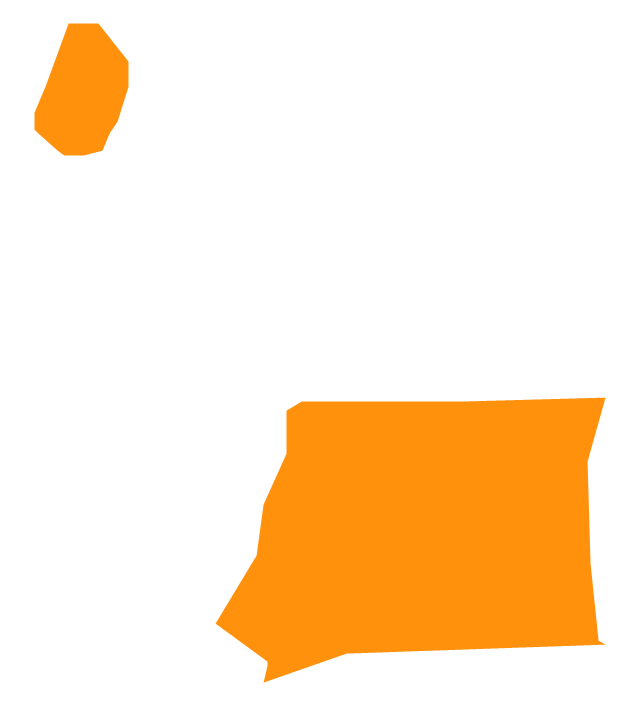
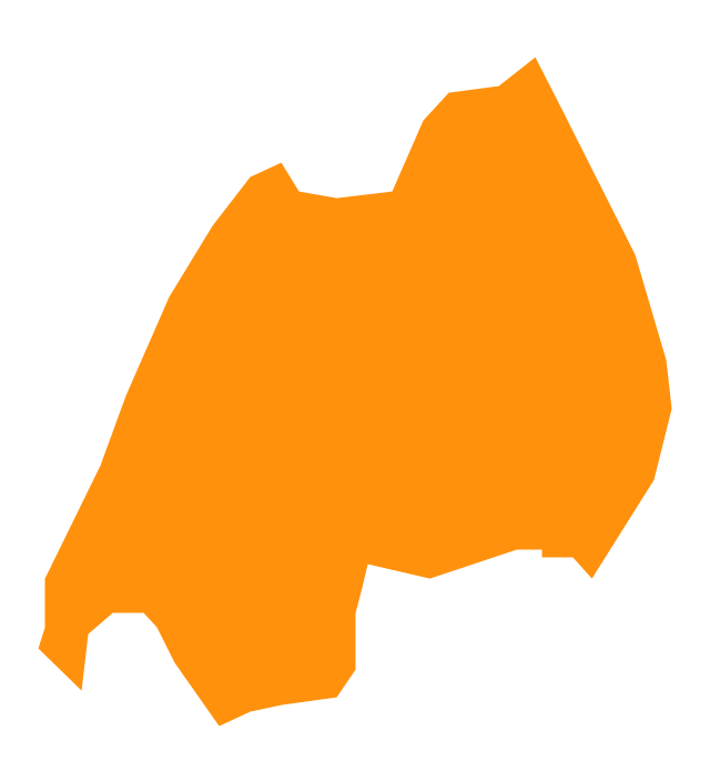
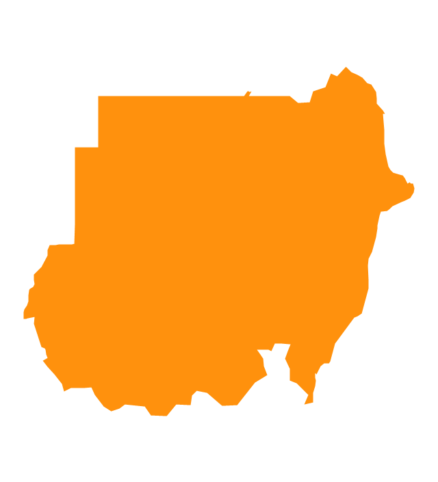
Sudan
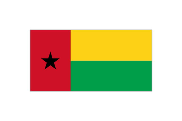
Guinea-Bissau
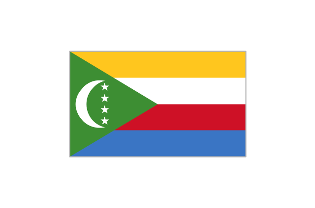
Comoros
Geo Map - Africa - South Africa

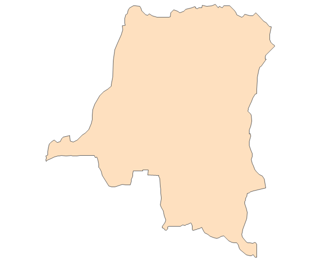
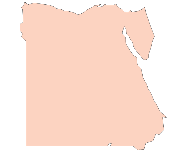
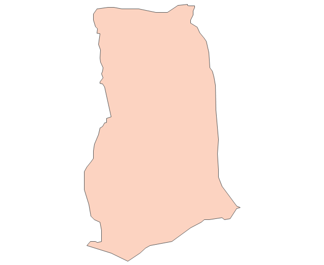
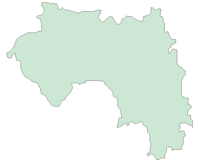
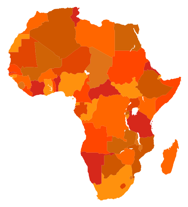
The vector stencils library "Africa" contains 62 country map contours for drawing thematic maps of Africa. Use it for visual representation of geospatial information, statistics and quantitative data.
"Africa is the world's second-largest and second-most-populous continent. ...
The continent includes Madagascar and various archipelagoes. It has 54 fully recognized sovereign states ("countries"), nine territories and two de facto independent states with limited or no recognition." [Africa. Wikipedia]
The map contours example "Africa - Vector stencils library" was created using the ConceptDraw PRO diagramming and vector drawing software extended with the Continent Maps solution from the Maps area of ConceptDraw Solution Park.
Africa
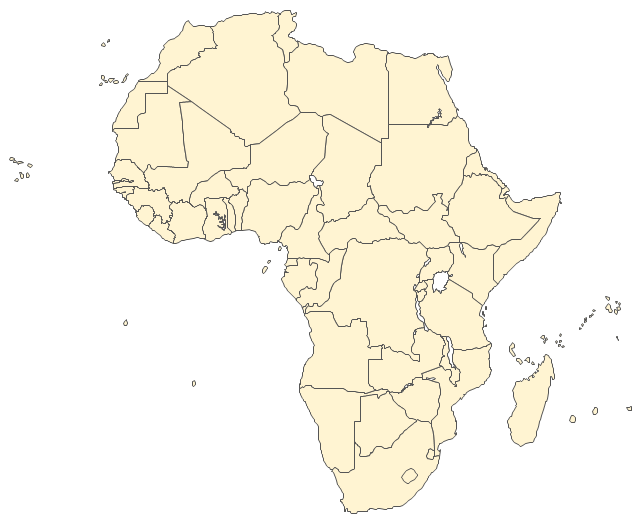
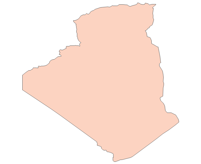
Algeria
Angola
Benin
Botswana
Burkina Faso
Burundi
Cameroon
Central African Republic
Chad
Republic of the Congo
Democratic Republic of the Congo
Ivory Coast (Cote d'Ivoire)
-africa---vector-stencils-library.png--diagram-flowchart-example.png)
Djibouti
Egypt
Equatorial Guinea
Eritrea
Ethiopia
Gabon
Gambia
Ghana
Guinea
Guinea-Bissau
Kenya
Lesotho
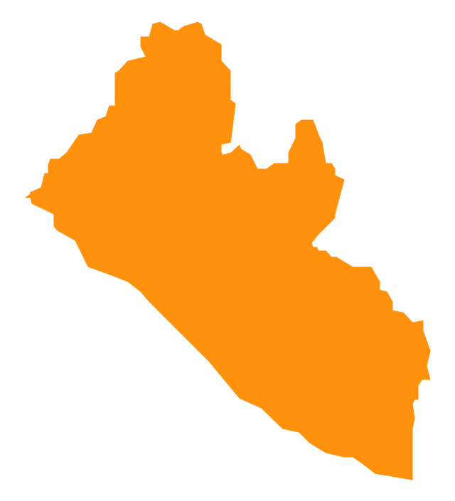
Liberia
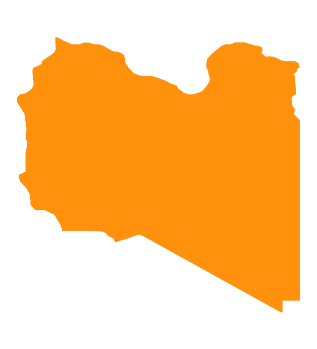
Libya
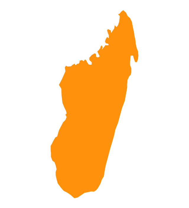
Madagascar
Malawi
Mali
Mauritania
Morocco
Mozambique
Namibia
Niger
Nigeria
Rwanda
Senegal

Sierra Leone
Somalia
South Africa
Sudan
South Sudan
Swaziland
Tanzania
Togo
Tunisia
Uganda
Western Sahara
Zambia
Zimbabwe
Lake Albert
Lake Chad
Lake Kariba
Lake Kivu
Lake Malawi
Lake Mweru
Lake Nasser
Lake Tanganyika
Lake Turkana
Lake Victoria
Lake Volta
The vector stencils library "Management maps" contains 44 map contours: G-20 state maps, EU state maps and world map.
Use it to create your management infogram in the ConceptDraw PRO diagramming and vector drawing software.
The state map contours example "Management maps - Vector stencils library" is included in the solution "Marketing infographics" from the "Business infographics" area of ConceptDraw Solution Park.
World map

Argentina

Australia

Austria

Belgium

Brazil

Bulgaria

Canada

China

Croatia

Cyprus

Czech Republic

Denmark

Estonia

Finland

France

Germany

Greece

Hungary

Indonesia

India

Ireland

Italy

Latvia

Japan

Lithuania

Luxembourg

Malta

Mexico

Poland

Portugal

Romania

Russia

Saudi Arabia

Slovakia

Slovenia

South Africa

South Korea

Spain

Sweden

The Netherlands

Turkey

United Kingdom

United States

The vector stencils library "Education maps" contains 44 map contours: G-20 state maps, EU state maps and world map.
Use it to visualize geospatial information in your education infograms.
The vector stencils library "Education maps" is included in the Education Infographics solution from the Business Infographics area of ConceptDraw Solution Park.
Use it to visualize geospatial information in your education infograms.
The vector stencils library "Education maps" is included in the Education Infographics solution from the Business Infographics area of ConceptDraw Solution Park.
World map

Argentina

Australia

Austria

Belgium

Brazil

Bulgaria

Canada

China

Croatia

Cyprus

Czech Republic

Denmark

Estonia

Finland

France

Germany

Greece

Hungary

India

Indonesia

Ireland

Italy

Japan

Latvia

Lithuania

Luxembourg

Malta

Mexico

Poland

Portugal

Romania

Russia

Saudi Arabia

Slovakia

Slovenia

South Africa

South Korea

Spain

Sweden

The Netherlands

Turkey

United Kingdom

United States

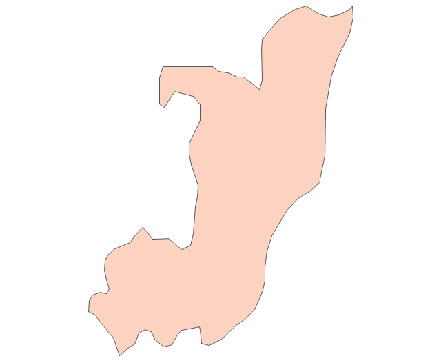
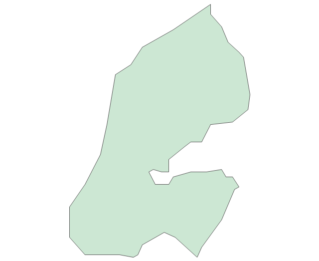
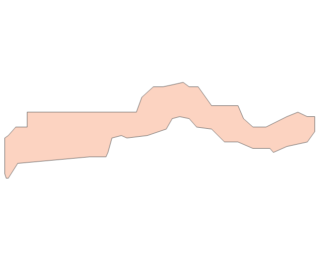
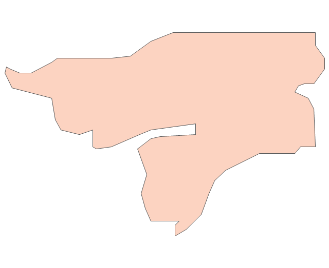
The vector stencils library "Africa" contains 51 country contours for drawing thematic maps of Africa.
Use it in your spatial infographics for visual representation of geospatial information, statistics and quantitative data in the ConceptDraw PRO diagramming and vector drawing software extended with the Spatial Infographics solution from the area "What is Infographics" of ConceptDraw Solution Park.
Use it in your spatial infographics for visual representation of geospatial information, statistics and quantitative data in the ConceptDraw PRO diagramming and vector drawing software extended with the Spatial Infographics solution from the area "What is Infographics" of ConceptDraw Solution Park.
Africa
Algeria
Angola
Benin

Botswana
Burkina Faso
Burundi
Cameroon
Central African Republic
Chad

Congo

Congo (DRC)
-africa---vector-stencils-library.png--diagram-flowchart-example.png)
Cote d'Ivoire
Djibouti
Egypt
Equatorial Guinea
Eritrea
Ethiopia
Gabon
Ghana
Gambia

Guinea
Guinea-Bissau

Kenya
Lesotho
Liberia
Malawi

Libya
Madagascar
Mali
Niger
Mozambique
Mauritania
Nigeria
Morocco
Namibia
Senegal
Sierra Leone
Rwanda
Somalia

South Africa
Sudan
South Sudan
Swaziland

Tanzania
Togo

Tunisia

Uganda
Western Sahara

Zimbabwe
Zambia
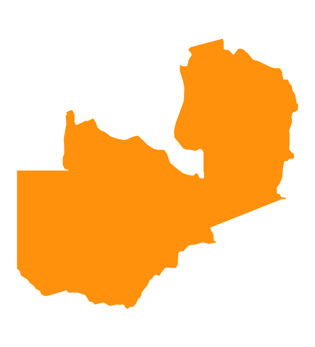
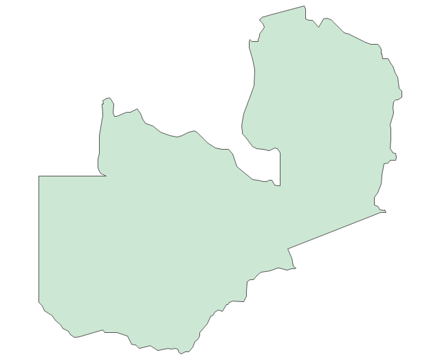
Geo Map - Africa - Zambia

Geo Map - Africa

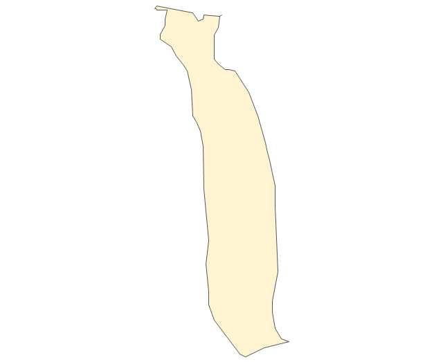
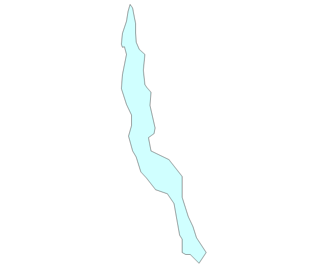
Geo Map - Africa - Mozambique

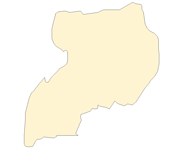
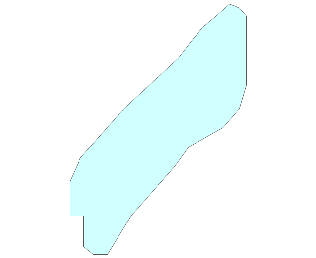
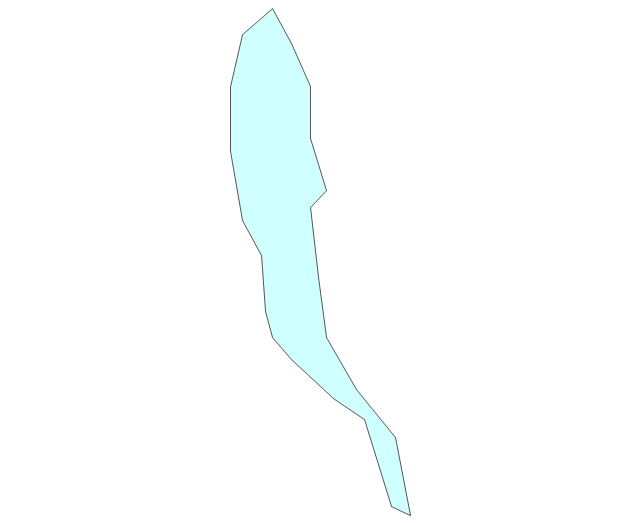
Geo Map - Africa - Rwanda

Geo Map - Africa - Botswana

The vector stencils library "Africa flags" contains 61 clipart images of African countries state flags.
State flags of East Africa (Eastern Africa) countries and territories: Burundi, Comoros, Djibouti, Eritrea, Ethiopia, Kenya, Madagascar, Malawi, Mayotte (France), Mozambique, Réunion (France), Rwanda, Seychelles, Somalia, South Sudan, Tanzania, Uganda, Zambia, Zimbabwe.
State flags of Central Africa countries: Angola, Cameroon, Central African Republic, Chad, Republic of the Congo, Democratic Republic of the Congo, Equatorial Guinea, Gabon, São Tomé and Príncipe.
State flags of Southern Africa countries: Botswana, Lesotho, Namibia, South Africa, Swaziland.
State flags of West Africa (Western Africa) countries and territories: Benin, Burkina Faso, Cape Verde, Côte d'Ivoire, Gambia, Ghana, Guinea, Guinea-Bissau, Liberia, Mali, Mauritania, Niger, Nigeria, Saint Helena (United Kingdom), Senegal, Sierra Leone, Togo.
State flags of North Africa (Northern Africa) countries and territories: Algeria, The Canary Islands (Spain), Ceuta (Spain), Egypt, Libya, Madeira (Portugal), Melilla (Spain), Morocco, Sudan, Tunisia.
The clip art example "Design elements - Africa flags" was created using the ConceptDraw PRO diagramming and vector drawing software extended with the Continent Maps solution from the Maps area of ConceptDraw Solution Park.
Africa state flags
Geo Map - Africa - Madagascar

- Geo Map - Africa - Zimbabwe
- Geo Map - Africa - Nigeria | Geo Map - Africa - Zimbabwe | Geo Map ...
- Africa Map Zambia To Zimbabwe
- Geo Map - Africa - Zimbabwe | Geo Map - Africa | Geo Map - Africa ...
- A Drawing Of The Zimbabwe Map
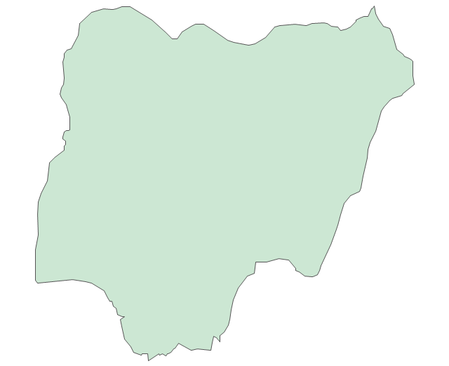
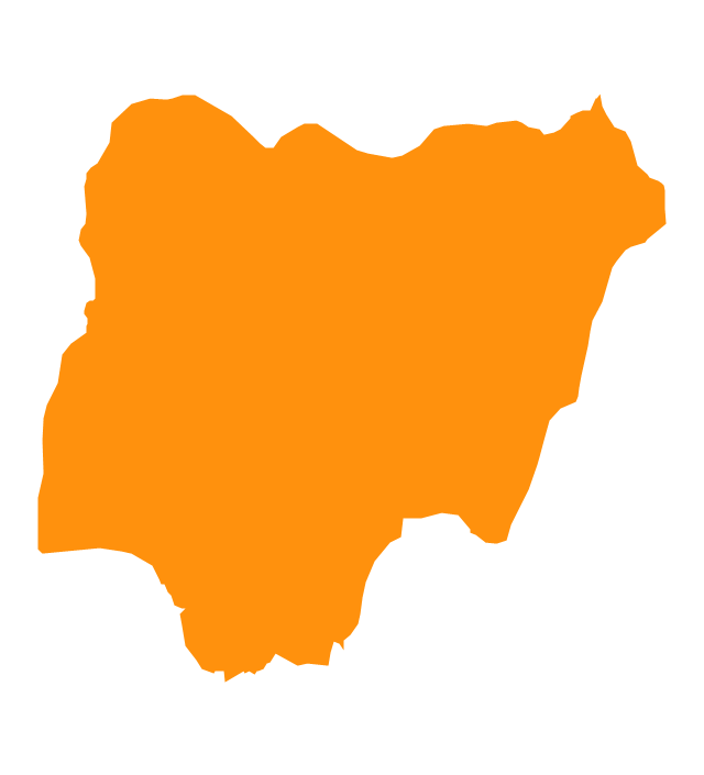
- Geo Map - Africa - Nigeria
- Africa flags - Stencils library | African country flags - Vector stencils ...
- Geo Map - Africa - Zimbabwe | Geo Map - Africa - Morocco | Draw A ...
- Mac OS X User Interface | Geo Map - Africa - Zimbabwe | Geo Map ...
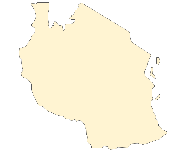
- Geo Map - Africa - Tanzania
- Drawings Of South Africa Zimbabwe Tanzania Flag
- Geo Map - Africa - Mozambique | Africa - Vector stencils library | Geo ...
- Draw A Map Of Southern Nigeria
- How To Draw D Sketch Of The Nigeria Map
- Botswana Map Of Africa
- Geo Map - Africa - Chad
- Design elements - Africa flags | Geo Map - South America Continent ...
- Geo Map - Africa - Nigeria | Africa - Vector stencils library | Africa ...
- Medicine and health pictograms - Vector stencils library | Medicine ...
- Malawi Southern Region Vector Image