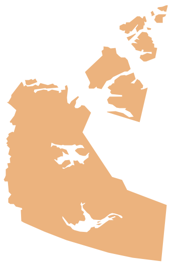
Geo Map - Canada - Northwest Territories
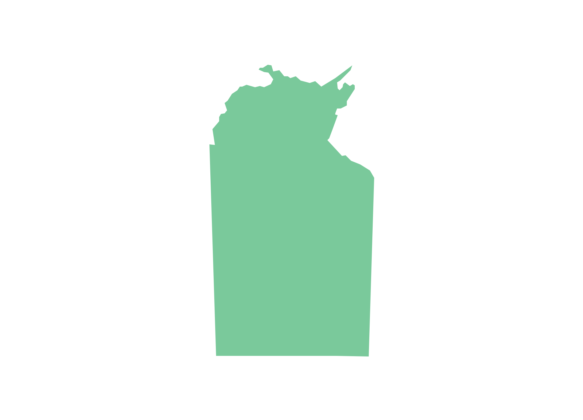
The Northwest Territories (NWT; French: les Territoires du Nord-Ouest, TNO) is one of three federal territories of Canada. The vector stencils library Northwest Territories contains contours for ConceptDraw PRO diagramming and vector drawing software. This library is contained in the Continent Maps solution from Maps area of ConceptDraw Solution Park.Geo Map - Australia - Nothern Territory
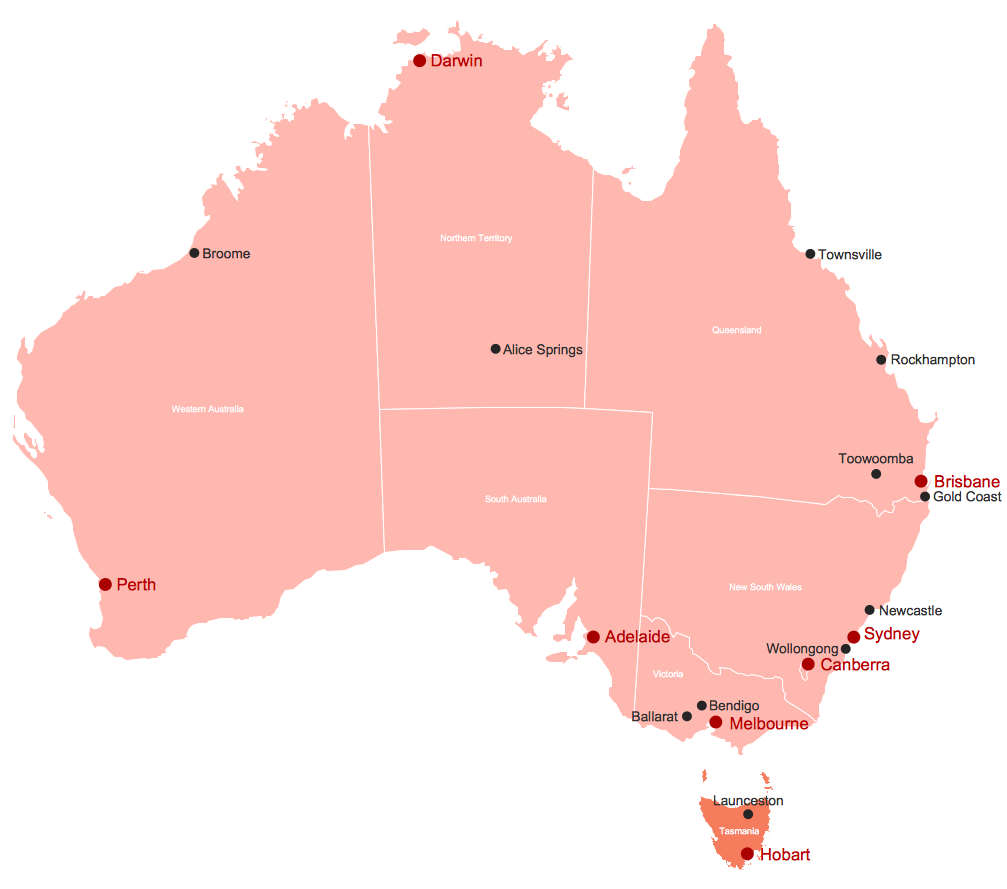
Use the Australia library to draw thematic maps, geospatial infographics and vector illustrations for your business documents, presentations and websites.Map of Australia
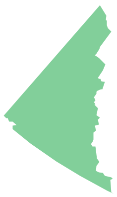
You want design the map of Australia, maps of Australia states or surround islands, maps of Australia self governing mainland territories or extra external territories? Use the indispensable ConceptDraw PRO diagramming and vector drawing software extended with unique Australia Map Solution from the Maps Area of ConceptDraw Solution Park.Geo Map - Canada - Yukon
Yukon is the westernmost and smallest of Canada's three federal territories. Whitehorse is the territorial capital. The vector stencils library Yukon contains contours for ConceptDraw PRO diagramming and vector drawing software. This library is contained in the Continent Maps solution from Maps area of ConceptDraw Solution Park.Geo Map - Canada - Nunavut
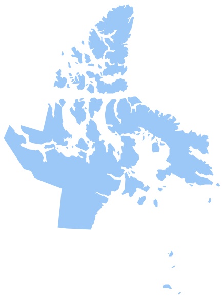
Nunavut is the largest, northernmost and newest territory of Canada. The vector stencils library Nunavut contains contours for ConceptDraw PRO diagramming and vector drawing software. This library is contained in the Continent Maps solution from Maps area of ConceptDraw Solution Park.Geo Map - Canada - British Columbia
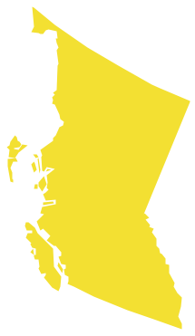
British Columbia, also commonly referred to by its initials BC or B.C. The vector stencils library British Columbia contains contours for ConceptDraw PRO diagramming and vector drawing software. This library is contained in the Continent Maps solution from Maps area of ConceptDraw Solution Park.Geo Map - Australia - South Australia
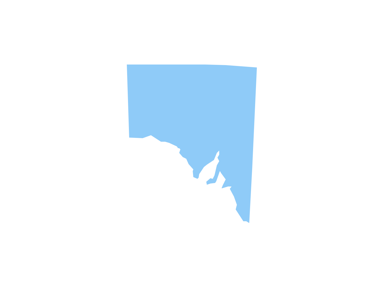
South Australia (abbreviated as SA) is a state in the southern central part of Australia. It covers some of the most arid parts of the continent.Geo Map - Canada - Ontario
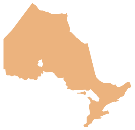
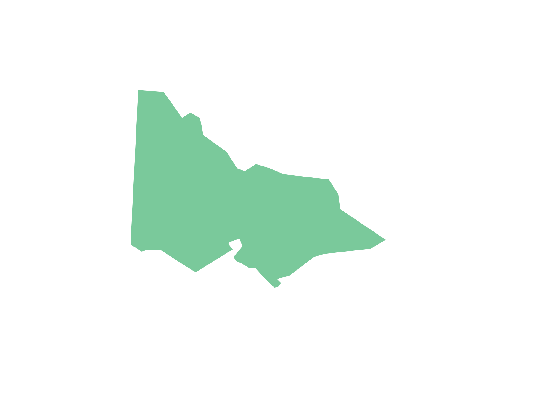
Ontario is one of the ten provinces of Canada, located in east-central Canada. The vector stencils library Ontario contains contours for ConceptDraw PRO diagramming and vector drawing software. This library is contained in the Continent Maps solution from Maps area of ConceptDraw Solution Park.Geo Map - Australia - Victoria
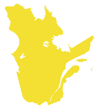
Victoria (abbreviated as Vic.) is a state in the south-east of Australia. Victoria is Australia's most densely populated state and its second-most populous state overall.Geo Map - Canada - Quebec
Quebec is a province in east-central Canada. The vector stencils library Quebec contains contours for ConceptDraw PRO diagramming and vector drawing software. This library is contained in the Continent Maps solution from Maps area of ConceptDraw Solution Park.- Continent Maps | Canada Sales Territories Map
- Territory Mapping Software Free Australia
- Mapping Software For Territories
- Swot Analysis Sales Territory
- Northern Territory
- Geo Map - Australia - New Zealand | Map Australia | How to Draw ...
- How to Draw Maps of Australia Using ConceptDraw PRO | Map ...
- New Zealand Map Outline Png
- Geo Map - Canada - Northwest Territories
- Map Of Australia And New Zeland
