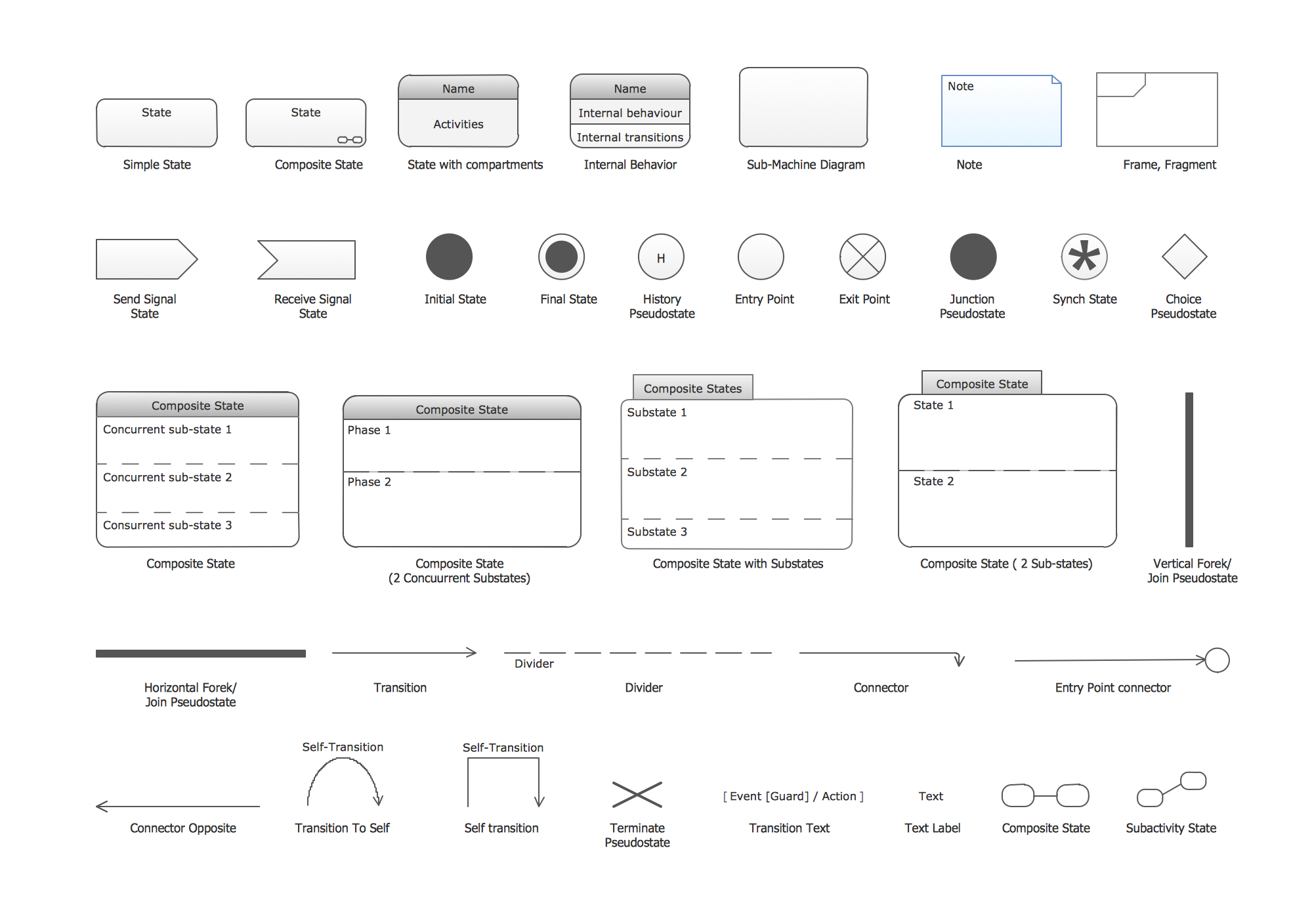
UML State Machine Diagram.Design Elements
Map of USA

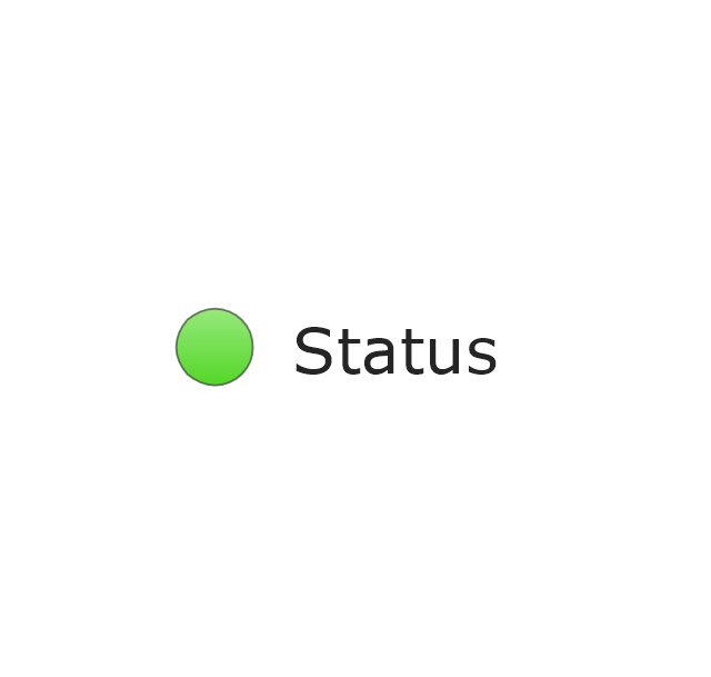
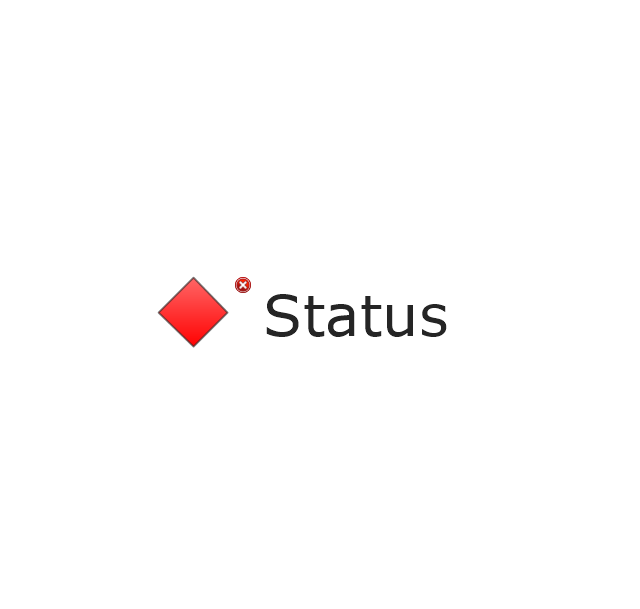
The vector stencils library "Status indicators" contains 41 visual status indicators. Each status indicator can visualize one of 2-6 information states and have a caption.
Use it to create your business performance dashboards in the ConceptDraw PRO diagramming and vector drawing software extended with the Status Dashboard solution from the area "What is a Dashboard" of ConceptDraw Solution Park.
Use it to create your business performance dashboards in the ConceptDraw PRO diagramming and vector drawing software extended with the Status Dashboard solution from the area "What is a Dashboard" of ConceptDraw Solution Park.
2-State Alert, Red

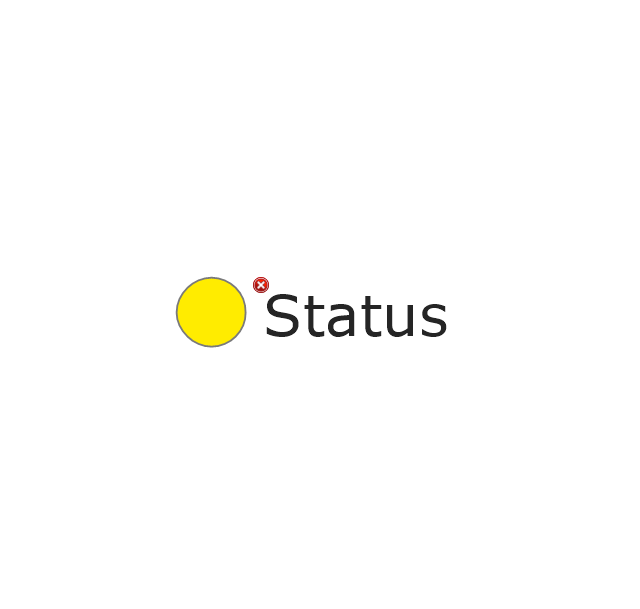
2-State Alert, Yellow
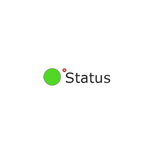
2-State Alert, Green
2-State Alert, Blue
3-State Alert 1

3-State Alert 2
4-State Alert 1

4-State Alert 2

5-State Alert 1

5-State Alert 2

Forth-Back 1
Forth-Back 2
Back-Forth 1
Back-Forth 2
Up-Down 1
Up-Down 2
Down-Up 1
Down-Up 2
Arrows Up-Down 1
Arrows Up-Down 2

Arrows Down-Up 1

Arrows Down-Up 2
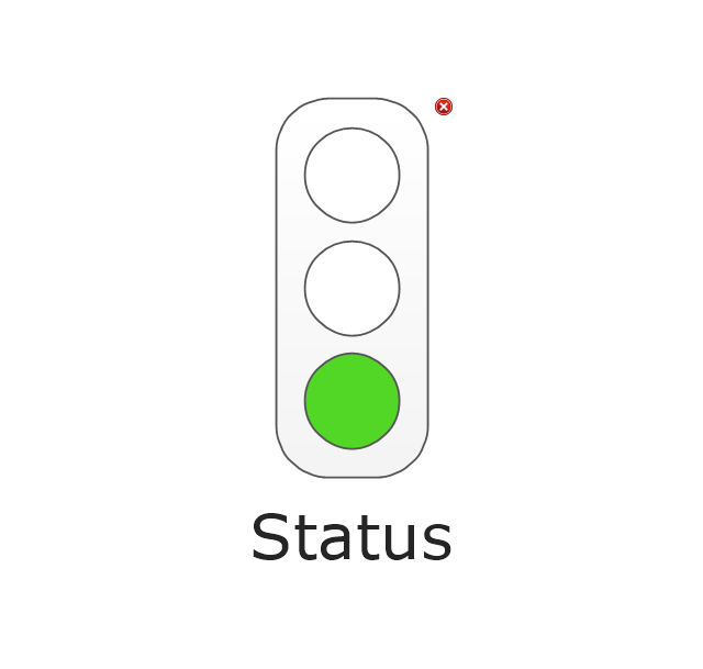
Traffic Light Vertical 1
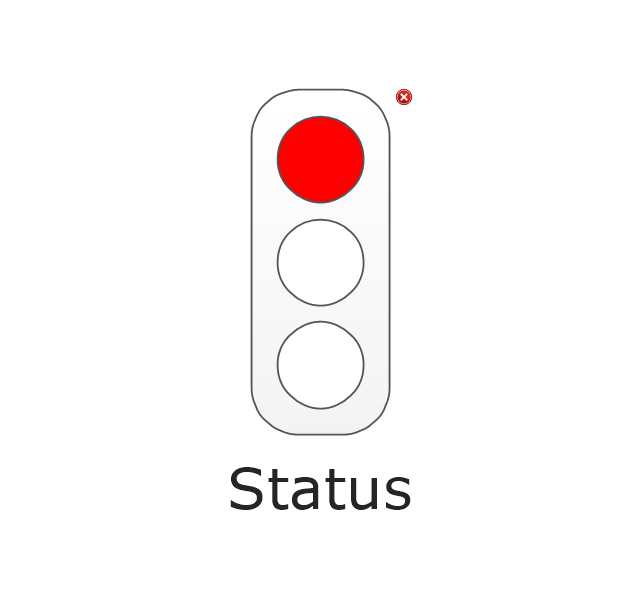
Traffic Light Vertical 2
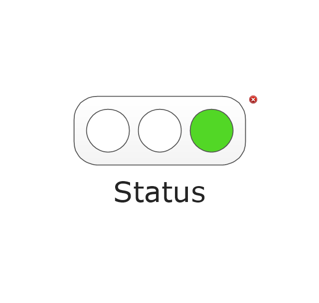
Traffic Light Horizontal 1
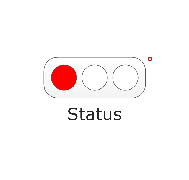
Traffic Light Horizontal 2
Progress Lights, Green

Progress Lights, Yellow
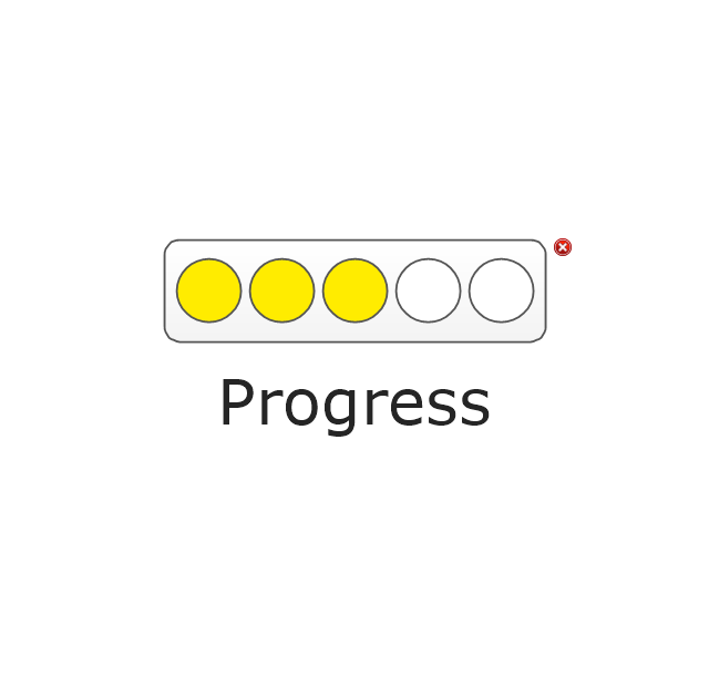
Progress Lights, Red

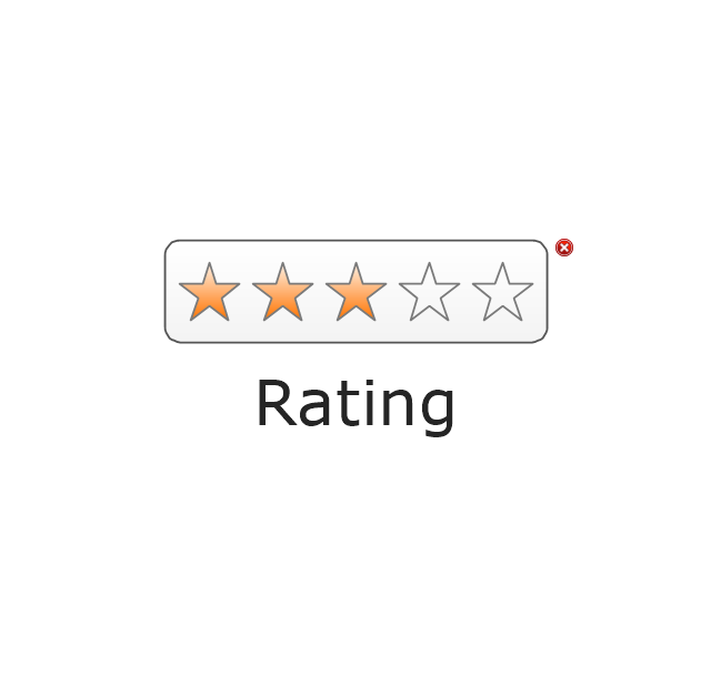
5-Stars Rating
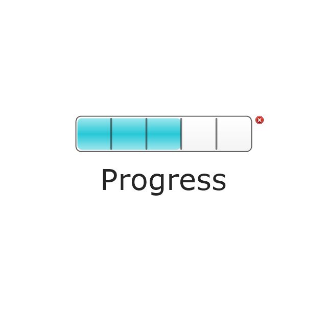
Progress Bar, Blue
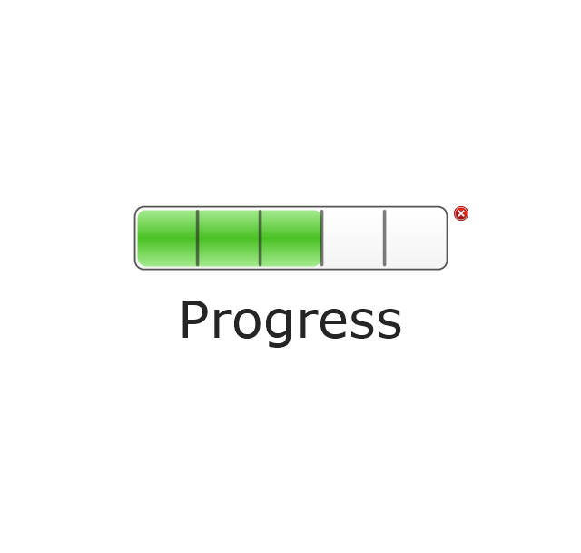
Progress Bar, Green
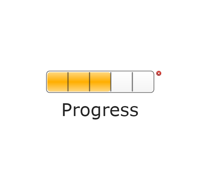
Progress Bar, Yellow
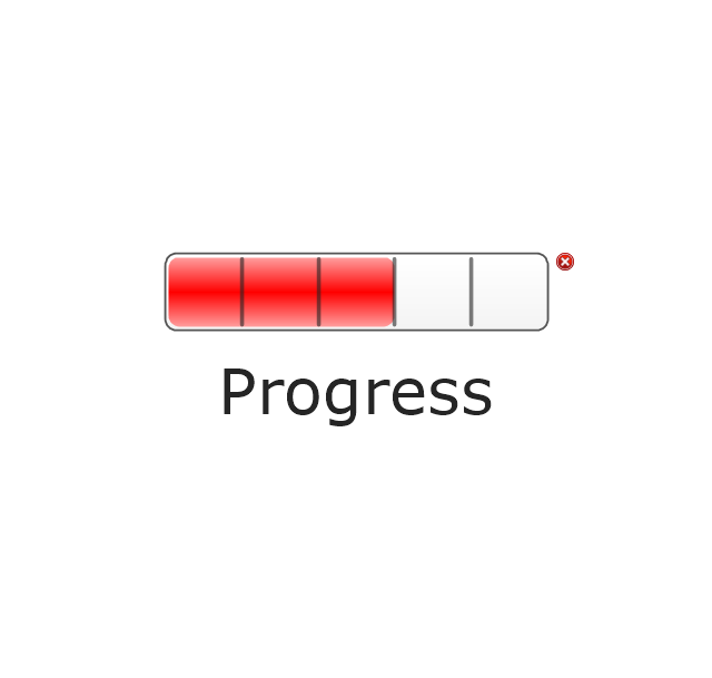
Progress Bar, Red
Access

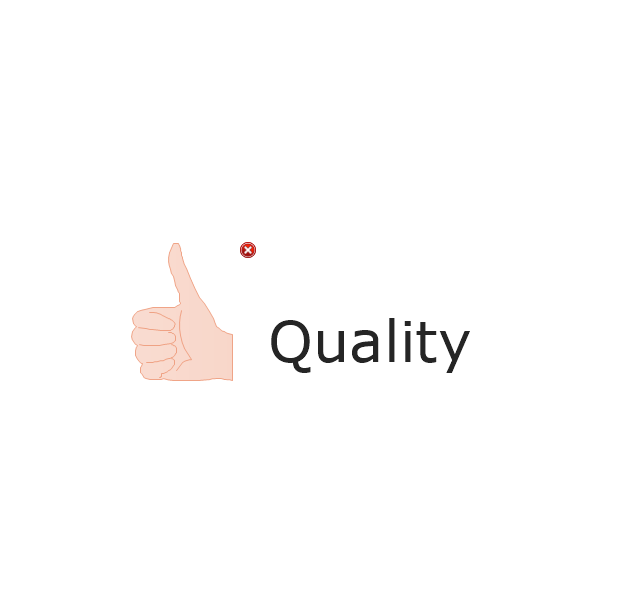
Quality
Switch

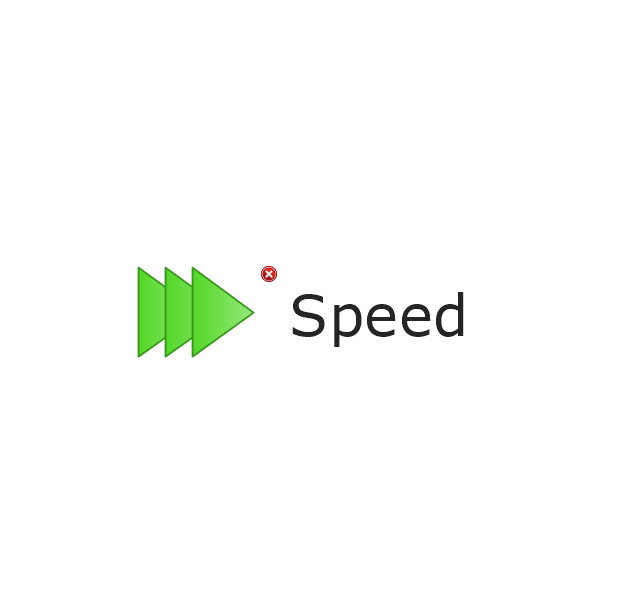
Speed
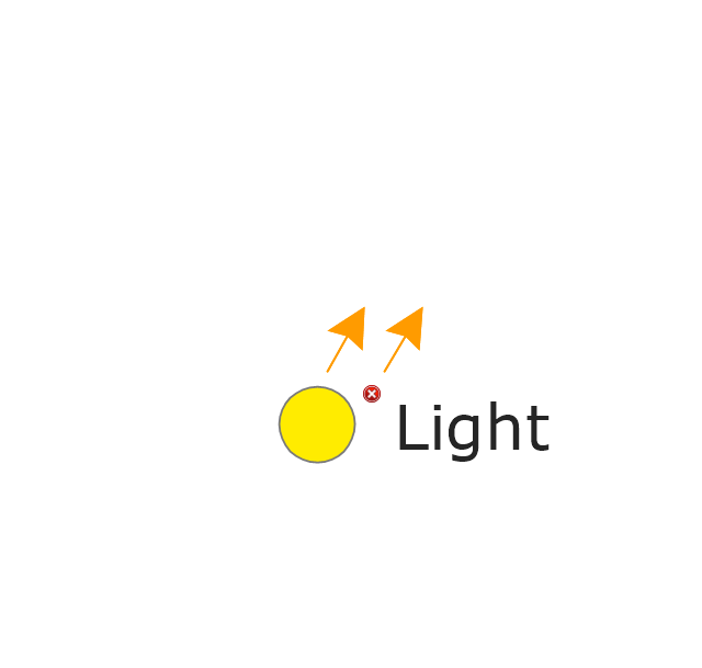
Light Emitting
Shapes Alert 1
Shapes Alert 2
Map of USA States

Geo Map — United States of America Map

Geo Map - USA - Maryland

Geo Map - USA - Iowa

Vector Map of Germany

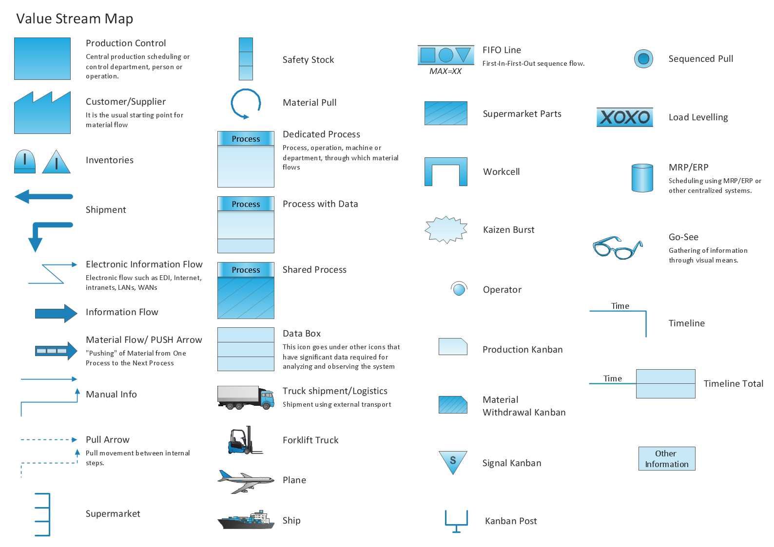
Learn how to create a current state value stream map
Geo Map - Asia - India

- How To Draw The State Maine
- Geo Map - United States of America Map | Geo Map - USA - Florida ...
- Vector stencils library - State machine diagram | Design elements ...
- The Map Of States
- UML State Machine Diagram.Design Elements
- Geo Map - United States of America Map | Latin America - Vector ...
- UML State Machine Diagram.Design Elements | Vector stencils ...
- Design elements - South America flags | South America country ...
- Status indicators - Vector stencils library | Glyph icons - Vector ...