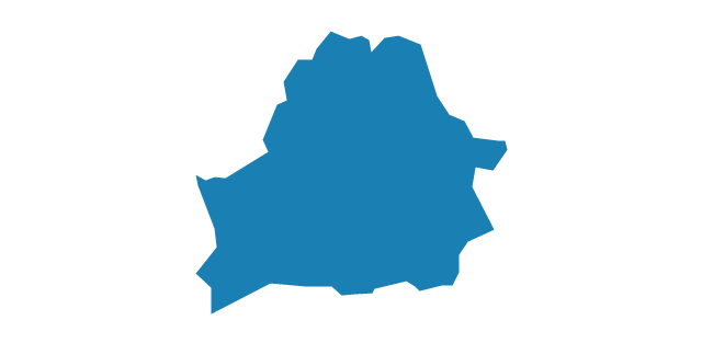
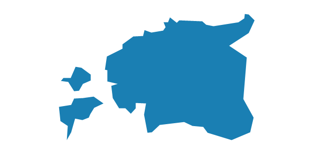
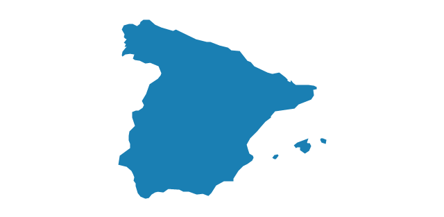
Geo Map - Europe - Spain

Geo Map - Europe - Portugal

Geo Map - Europe - Slovenia

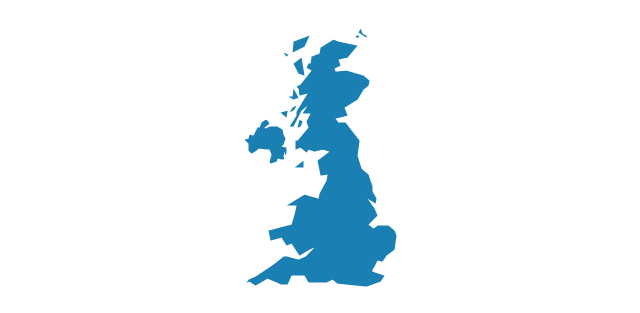
Geo Map - Europe - United Kingdom

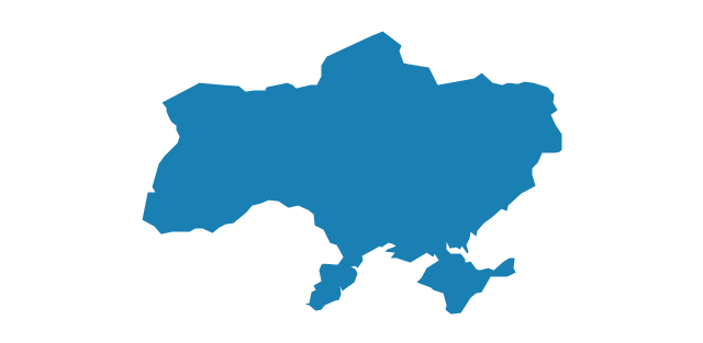
Geo Map - Europe - Ukraine

Geo Map - Europe - Switzerland

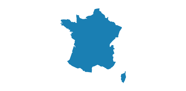
Geo Map - Europe - France

The vector stencils library "Europe" contains 39 country contours for drawing thematic maps of Europe.
Use it in your spatial infographics for visual representation of geospatial information, statistics and quantitative data in the ConceptDraw PRO diagramming and vector drawing software extended with the Spatial Infographics solution from the area "What is Infographics" of ConceptDraw Solution Park.
Use it in your spatial infographics for visual representation of geospatial information, statistics and quantitative data in the ConceptDraw PRO diagramming and vector drawing software extended with the Spatial Infographics solution from the area "What is Infographics" of ConceptDraw Solution Park.
Europe

Albania

Austria

Belarus
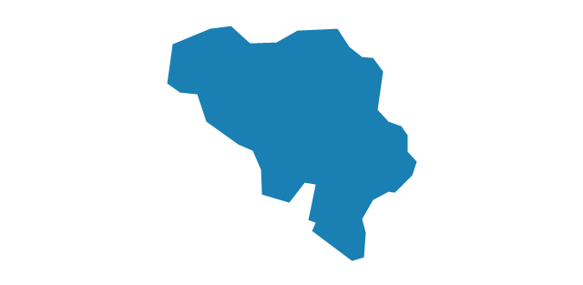
Belgium
Bosnia and Herzegovina

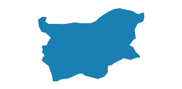
Bulgaria
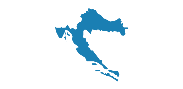
Croatia
Czech Republic

Denmark

Estonia
Finland

France
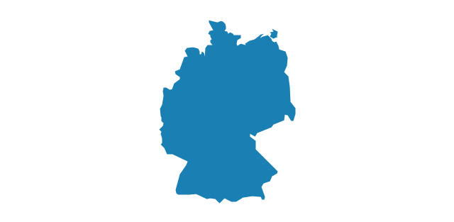
Germany
Greece
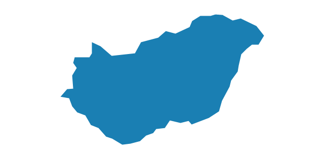
Hungary
Iceland

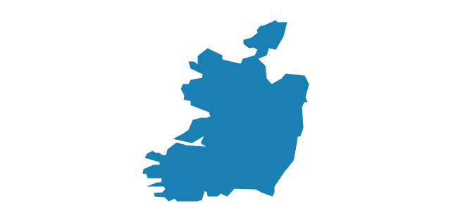
Ireland
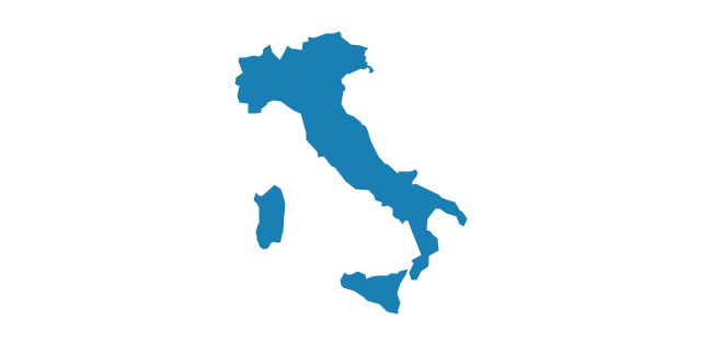
Italy
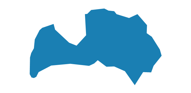
Latvia
Lithuania

Luxembourg

Macedonia

Moldova

Montenegro

Netherlands

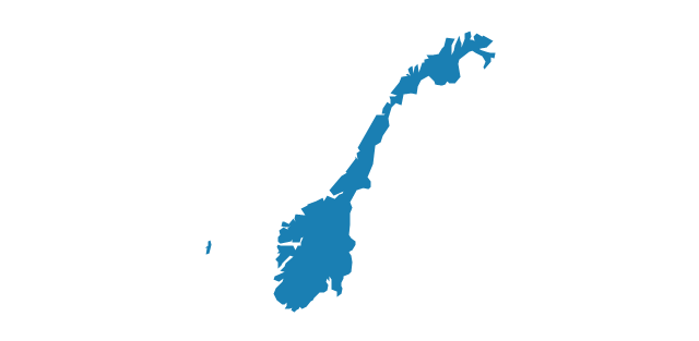
Norway
Poland

Portugal

Romania

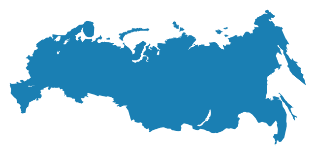
Russia
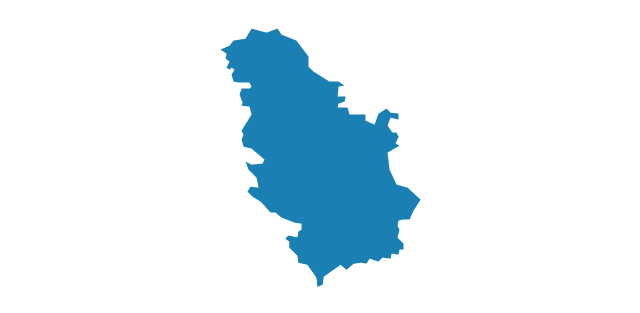
Serbia
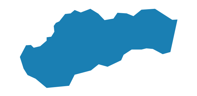
Slovakia
Slovenia

Spain
Sweden

Switzerland

Ukraine
United Kingdom
The vector stencils library "Education maps" contains 44 state map contours with capitals and major cities: G-20 state maps, EU state maps and world map.
Use it to visualize geospatial information in your education infograms.
"The European Union (EU) is a politico-economic union of 28 member states that are primarily located in Europe: Austria, Belgium, Bulgaria, Croatia, Cyprus, Czech Republic, Denmark, Estonia, Finland, France, Germany, Greece, Hungary, Ireland, Italy, Latvia, Lithuania, Luxembourg, Malta, Netherlands, Poland, Portugal, Romania, Slovakia, Slovenia, Spain, Sweden, United Kingdom." [European Union. Wikipedia]
The European Union map contours example "Design elements - Education maps (EU)" was created using the ConceptDraw PRO diagramming and vector drawing software extended with the Education Infographics solition from the area "Business Infographics" in ConceptDraw Solution Park.
European Union state map contours
.png--diagram-flowchart-example.png)
"Alphabetical list of subregions in the United Nations geoscheme for Europe.
Eastern Europe: Belarus, Bulgaria, Czech Republic, Hungary, Moldova, Poland, Romania, Russia, Slovakia, Ukraine.
Northern Europe: Åland Islands, Denmark, Estonia, Faroe Islands, Finland, Guernsey, Iceland, Ireland, Isle of Man, Jersey, Latvia, Lithuania, Norway, Svalbard and Jan Mayen, Sweden, United Kingdom.
Southern Europe: Albania, Andorra, Bosnia and Herzegovina, Croatia, Gibraltar, Greece, Italy, Malta, Montenegro, Portugal, Macedonia, San Marino, Serbia, Slovenia, Spain, Vatican City.
Western Europe: Austria, Belgium, France, Germany, Liechtenstein, Luxembourg, Monaco, Netherlands, Switzerland." [United Nations geoscheme for Europe. Wikipedia]
The example "Political map of Europe" illustrated with European state flags was created using the ConceptDraw PRO diagramming and vector drawing software extended with the Continent Maps solution from the Maps area of ConceptDraw Solution Park.
Political map - Europe

The vector stencils library "Management maps" contains 44 map contours: G-20 state maps, EU state maps and world map.
Use it to create your management infogram in the ConceptDraw PRO diagramming and vector drawing software.
The state map contours example "Management maps - Vector stencils library" is included in the solution "Marketing infographics" from the "Business infographics" area of ConceptDraw Solution Park.
World map

Argentina

Australia

Austria

Belgium

Brazil

Bulgaria

Canada

China

Croatia

Cyprus

Czech Republic

Denmark

Estonia

Finland

France

Germany

Greece

Hungary

Indonesia

India

Ireland

Italy

Latvia

Japan

Lithuania

Luxembourg

Malta

Mexico

Poland

Portugal

Romania

Russia

Saudi Arabia

Slovakia

Slovenia

South Africa

South Korea

Spain

Sweden

The Netherlands

Turkey

United Kingdom

United States

The vector stencils library "Education maps" contains 44 map contours: G-20 state maps, EU state maps and world map.
Use it to visualize geospatial information in your education infograms.
The vector stencils library "Education maps" is included in the Education Infographics solution from the Business Infographics area of ConceptDraw Solution Park.
Use it to visualize geospatial information in your education infograms.
The vector stencils library "Education maps" is included in the Education Infographics solution from the Business Infographics area of ConceptDraw Solution Park.
World map

Argentina

Australia

Austria

Belgium

Brazil

Bulgaria

Canada

China

Croatia

Cyprus

Czech Republic

Denmark

Estonia

Finland

France

Germany

Greece

Hungary

India

Indonesia

Ireland

Italy

Japan

Latvia

Lithuania

Luxembourg

Malta

Mexico

Poland

Portugal

Romania

Russia

Saudi Arabia

Slovakia

Slovenia

South Africa

South Korea

Spain

Sweden

The Netherlands

Turkey

United Kingdom

United States

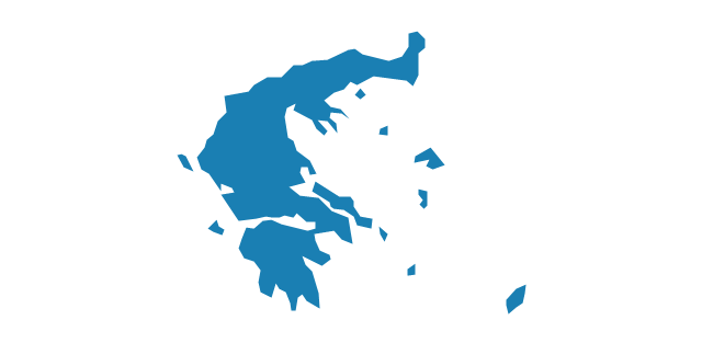
Geo Map - Europe - Greece

The vector stencils library Greece contains contours for ConceptDraw PRO diagramming and vector drawing software. This library is contained in the Continent Maps solution from Maps area of ConceptDraw Solution Park.
"Spanish and Portuguese are the most spoken languages in South America, with approximately 200 million speakers each. Spanish is the official language of most countries, along with other native languages in some countries. Portuguese is the official language of Brazil. Dutch is the official language of Suriname; English is the official language of Guyana, although there are at least twelve other languages spoken in the country, including Hindi and Arabic. English is also spoken in the Falkland Islands. French is the official language of French Guiana and the second language in Amapá, Brazil.
Indigenous languages of South America include Quechua in Ecuador, Peru, Chile, Argentina, Colombia, and Bolivia; Wayuunaiki in northern Colombia (La Guajira); Guaraní in Paraguay and, to a much lesser extent, in Bolivia; Aymara in Bolivia, Peru, and less often in Chile; and Mapudungun is spoken in certain pockets of southern Chile and, more rarely, Argentina. At least three South American indigenous languages (Quechua, Aymara, and Guarani) are recognized along with Spanish as national languages." [South America. Wikipedia]
The Languages of South America map example was redesigned from Wikimedia Commons file: Languages of South America (en).svg.
[commons.wikimedia.org/ wiki/ File:Languages_ of_ South_ America_ (en).svg]
This file is licensed under the Creative Commons Attribution-Share Alike 3.0 Unported license. [creativecommons.org/ licenses/ by-sa/ 3.0/ deed.en]
The Languages of South America map example was drawn using ConceptDraw PRO diagramming and vector drawing software extended with design elements library South America.
The Languages of South America map example is included in the Continent Maps solution from the Maps area of ConceptDraw Solution Park.
Thematic map - South America

Geo Map - South America Continent

ConceptDraw PRO is idea to draw the geological maps of South America continent from the pre-designed vector geo map shapes.
Use Continent Maps solution from the Maps area of ConceptDraw Solution Park to draw thematic maps, geospatial infographics and vector illustrations for your business documents, presentations and websites.
- Political Map Of Spain
- Geo Map - Europe - Spain
- Geo Map - Europe - Spain | USA Maps | Geo Map - South America ...
- Geo Map - Europe - Spain | European country flags - Vector stencils ...
- Geo Map - Europe - Spain
- France In Europe Map
- Geo Map - Europe
- Geo Map - Europe - Portugal | Geo Map - Europe - Spain | Geo Map ...
- Spain Germany And France In Map Of Europe
- Europe - Vector stencils library | Education maps - Vector stencils ...
- Turkey And Spain Map
- Geo Map - Europe - France | Geo Map - South America Continent ...
- Europe France On Map
- Geo Map - Europe - Macedonia | Europe - Vector stencils library ...
- Geo Map - Europe - Romania | Design elements - Education maps ...
- Geo Map - Europe - Belgium | Europe - Vector stencils library | Geo ...
- Geo Map - Europe - Italy | Europe - Vector stencils library | Geo Map ...
- Map Of Europe France
- Geo Map - Europe | Spatial infographics Design Elements ...
- Geo Map - Europe - Finland