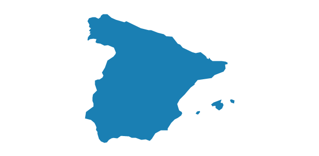
Geo Map — Europe — Spain

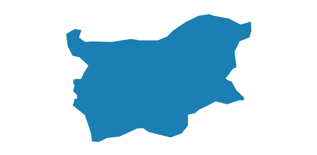
Geo Map - Europe - Bulgaria

Geo Map — Europe

Geo Map - Europe - Portugal

Geo Map - Europe - Czech Republic

The vector stencils library "Education maps" contains 44 state map contours with capitals and major cities: G-20 state maps, EU state maps and world map.
Use it to visualize geospatial information in your education infograms.
"The European Union (EU) is a politico-economic union of 28 member states that are primarily located in Europe: Austria, Belgium, Bulgaria, Croatia, Cyprus, Czech Republic, Denmark, Estonia, Finland, France, Germany, Greece, Hungary, Ireland, Italy, Latvia, Lithuania, Luxembourg, Malta, Netherlands, Poland, Portugal, Romania, Slovakia, Slovenia, Spain, Sweden, United Kingdom." [European Union. Wikipedia]
The European Union map contours example "Design elements - Education maps (EU)" was created using the ConceptDraw PRO diagramming and vector drawing software extended with the Education Infographics solition from the area "Business Infographics" in ConceptDraw Solution Park.
European Union state map contours
.png--diagram-flowchart-example.png)
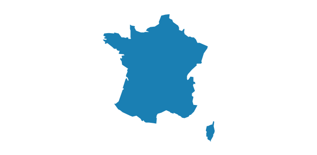
Geo Map — Europe — France

Geo Map - South America - French Guiana

"Alphabetical list of subregions in the United Nations geoscheme for Europe.
Eastern Europe: Belarus, Bulgaria, Czech Republic, Hungary, Moldova, Poland, Romania, Russia, Slovakia, Ukraine.
Northern Europe: Åland Islands, Denmark, Estonia, Faroe Islands, Finland, Guernsey, Iceland, Ireland, Isle of Man, Jersey, Latvia, Lithuania, Norway, Svalbard and Jan Mayen, Sweden, United Kingdom.
Southern Europe: Albania, Andorra, Bosnia and Herzegovina, Croatia, Gibraltar, Greece, Italy, Malta, Montenegro, Portugal, Macedonia, San Marino, Serbia, Slovenia, Spain, Vatican City.
Western Europe: Austria, Belgium, France, Germany, Liechtenstein, Luxembourg, Monaco, Netherlands, Switzerland." [United Nations geoscheme for Europe. Wikipedia]
The example "Political map of Europe" illustrated with European state flags was created using the ConceptDraw PRO diagramming and vector drawing software extended with the Continent Maps solution from the Maps area of ConceptDraw Solution Park.
Political map - Europe

Geo Map — Africa — Tanzania

The vector stencils library "Europe" contains 39 country contours for drawing thematic maps of Europe.
Use it in your spatial infographics for visual representation of geospatial information, statistics and quantitative data in the ConceptDraw PRO diagramming and vector drawing software extended with the Spatial Infographics solution from the area "What is Infographics" of ConceptDraw Solution Park.
Use it in your spatial infographics for visual representation of geospatial information, statistics and quantitative data in the ConceptDraw PRO diagramming and vector drawing software extended with the Spatial Infographics solution from the area "What is Infographics" of ConceptDraw Solution Park.
Europe

Albania

Austria

Belarus
Belgium

Bosnia and Herzegovina

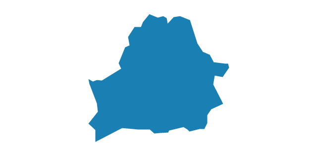
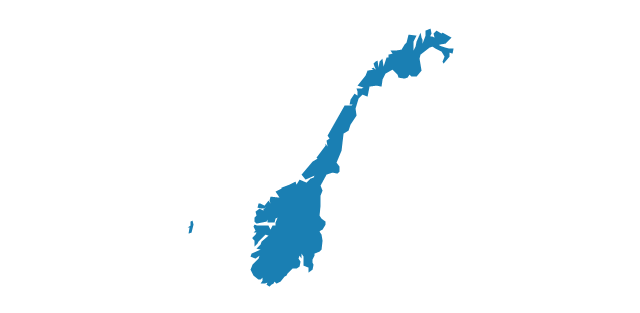
Bulgaria
Croatia

Czech Republic

Denmark

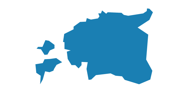
Estonia
Finland

France
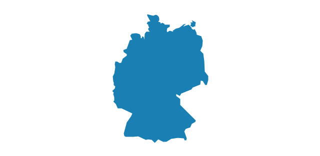
Germany
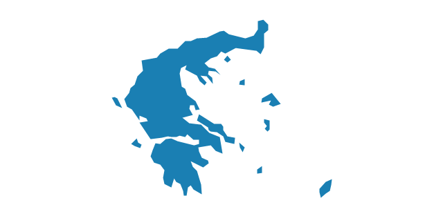
Greece
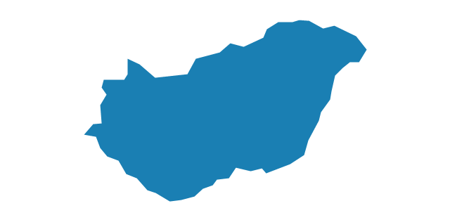
Hungary
Iceland

Ireland

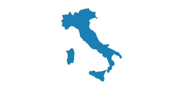
Italy
Latvia

Lithuania

Luxembourg

Macedonia

Moldova

Montenegro

Netherlands

Norway
Poland

Portugal

Romania

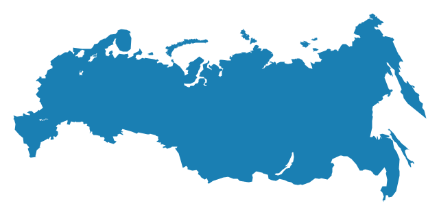
Russia
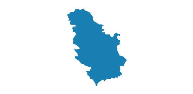
Serbia
Slovakia

Slovenia

Spain
Sweden

Switzerland

Ukraine
United Kingdom

The vector stencils library "Education maps" contains 44 map contours: G-20 state maps, EU state maps and world map.
Use it to visualize geospatial information in your education infograms.
The vector stencils library "Education maps" is included in the Education Infographics solution from the Business Infographics area of ConceptDraw Solution Park.
Use it to visualize geospatial information in your education infograms.
The vector stencils library "Education maps" is included in the Education Infographics solution from the Business Infographics area of ConceptDraw Solution Park.
World map

Argentina

Australia

Austria

Belgium

Brazil

Bulgaria

Canada

China

Croatia

Cyprus

Czech Republic

Denmark

Estonia

Finland

France

Germany

Greece

Hungary

India

Indonesia

Ireland

Italy

Japan

Latvia

Lithuania

Luxembourg

Malta

Mexico

Poland

Portugal

Romania

Russia

Saudi Arabia

Slovakia

Slovenia

South Africa

South Korea

Spain

Sweden

The Netherlands

Turkey

United Kingdom

United States

Geo Map - Africa

The vector stencils library "Management maps" contains 44 map contours: G-20 state maps, EU state maps and world map.
Use it to create your management infogram in the ConceptDraw PRO diagramming and vector drawing software.
The state map contours example "Management maps - Vector stencils library" is included in the solution "Marketing infographics" from the "Business infographics" area of ConceptDraw Solution Park.
World map

Argentina

Australia

Austria

Belgium

Brazil

Bulgaria

Canada

China

Croatia

Cyprus

Czech Republic

Denmark

Estonia

Finland

France

Germany

Greece

Hungary

Indonesia

India

Ireland

Italy

Latvia

Japan

Lithuania

Luxembourg

Malta

Mexico

Poland

Portugal

Romania

Russia

Saudi Arabia

Slovakia

Slovenia

South Africa

South Korea

Spain

Sweden

The Netherlands

Turkey

United Kingdom

United States

Geo Map — South America — Peru

- Africa flags - Stencils library | Plain Nigeria Map Png
- Geo Map - Europe - Portugal | Geo Map - Europe - Spain | Geo Map ...
- World Map Vector Png
- France Map Png
- Russian Map Png
- Geo Map - Europe - Poland | European country flags - Vector ...
- Geo Map - Europe - Finland
- Geo Map - Europe - Hungary
- Geo Map — Europe — Spain | Cross Functional Flowchart Shapes ...
- Africa Continent Flag Png
- Tanzania Map Png
- Lithuania Map Contour Png
- Map Of Austria Png Vector
- Africa In World Globe Png
- Romanian Map Png
- Indian Map Vector Png
- Southern Cone - Political map | South America regions - Political ...
- Management maps - Vector stencils library | Education maps ...
- Geo Map - Asia - Papua New Guinea
- Ivory Coast Map Png