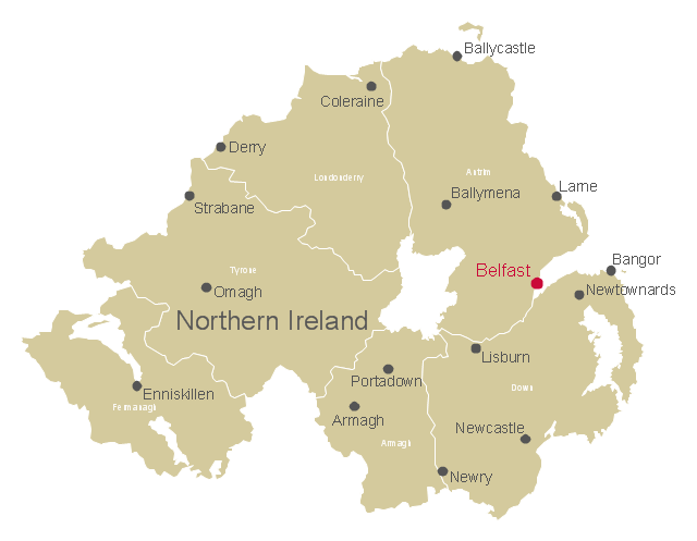
This map example shows Northern Ireland counties borders, cities and towns.
"Northern Ireland is a constituent unit of the United Kingdom of Great Britain and Northern Ireland in the northeast of the island of Ireland. It is variously described as a country, province, region, or "part" of the United Kingdom, amongst other terms. Northern Ireland shares a border to the south and west with the Republic of Ireland." [Northern Ireland. Wikipedia]
The map example "Northern Ireland cities and towns map" was drawn using ConceptDraw PRO software extended with the Map of UK solution from the Maps area of ConceptDraw Solution Park.
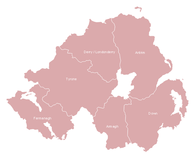
Northern Ireland counties map
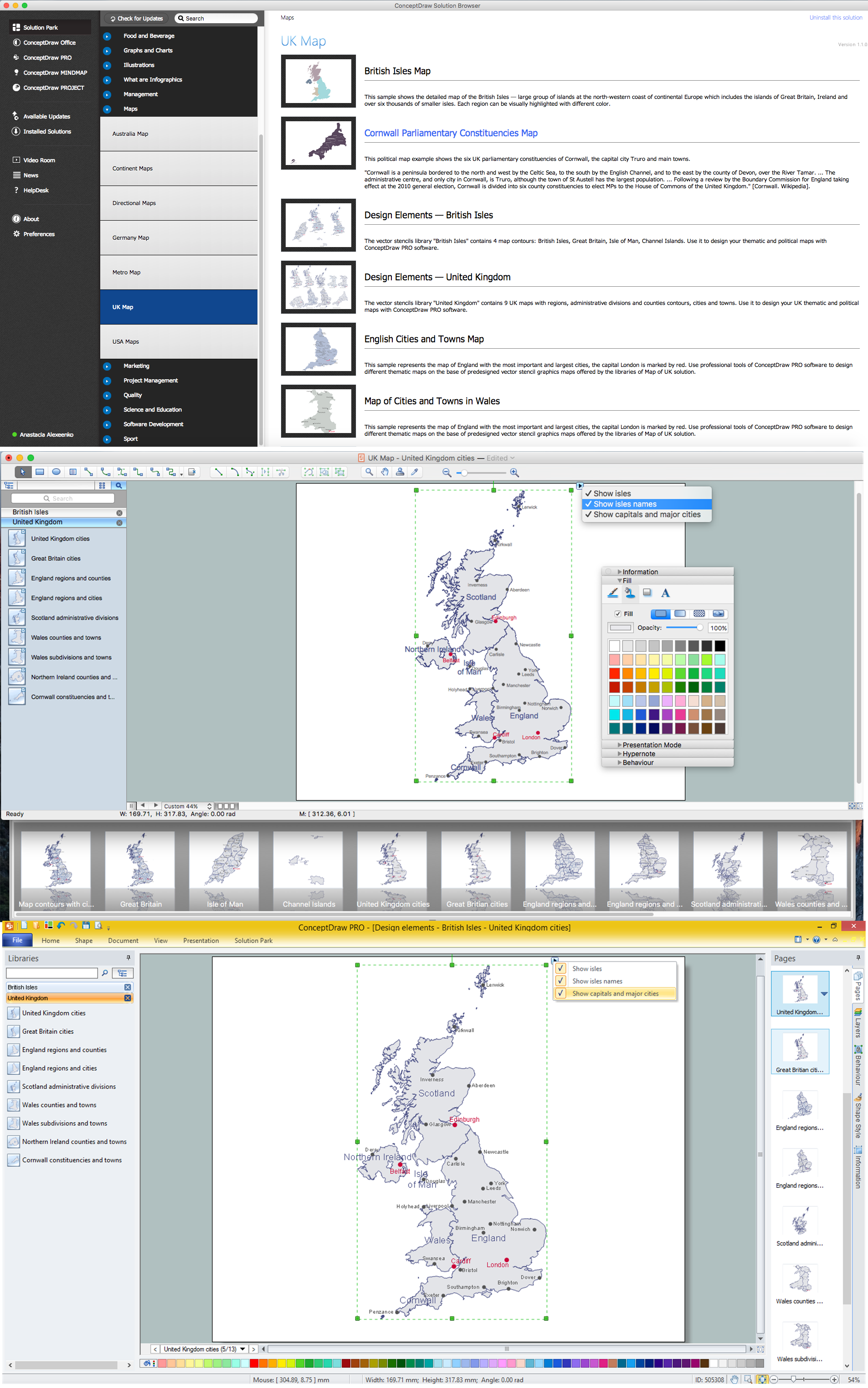
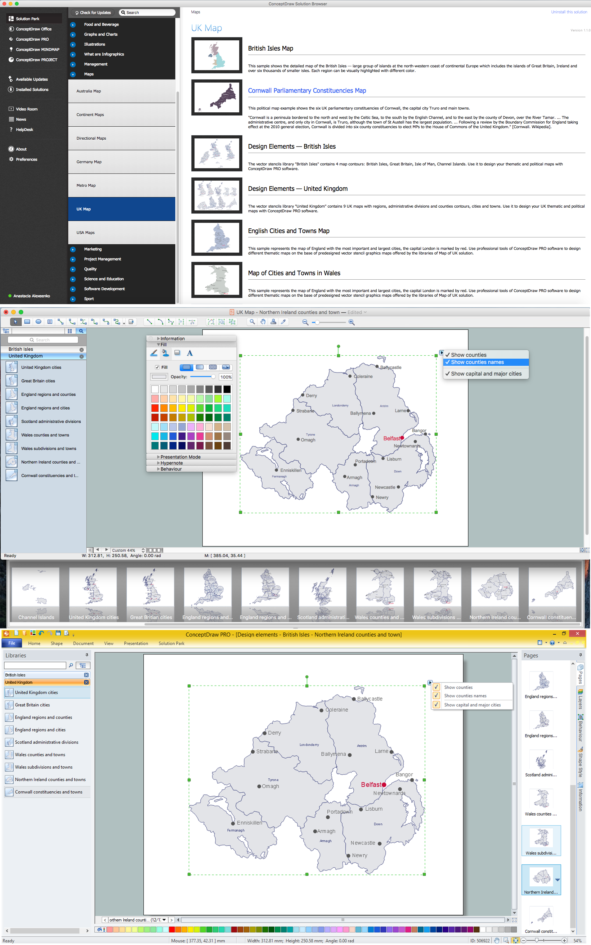
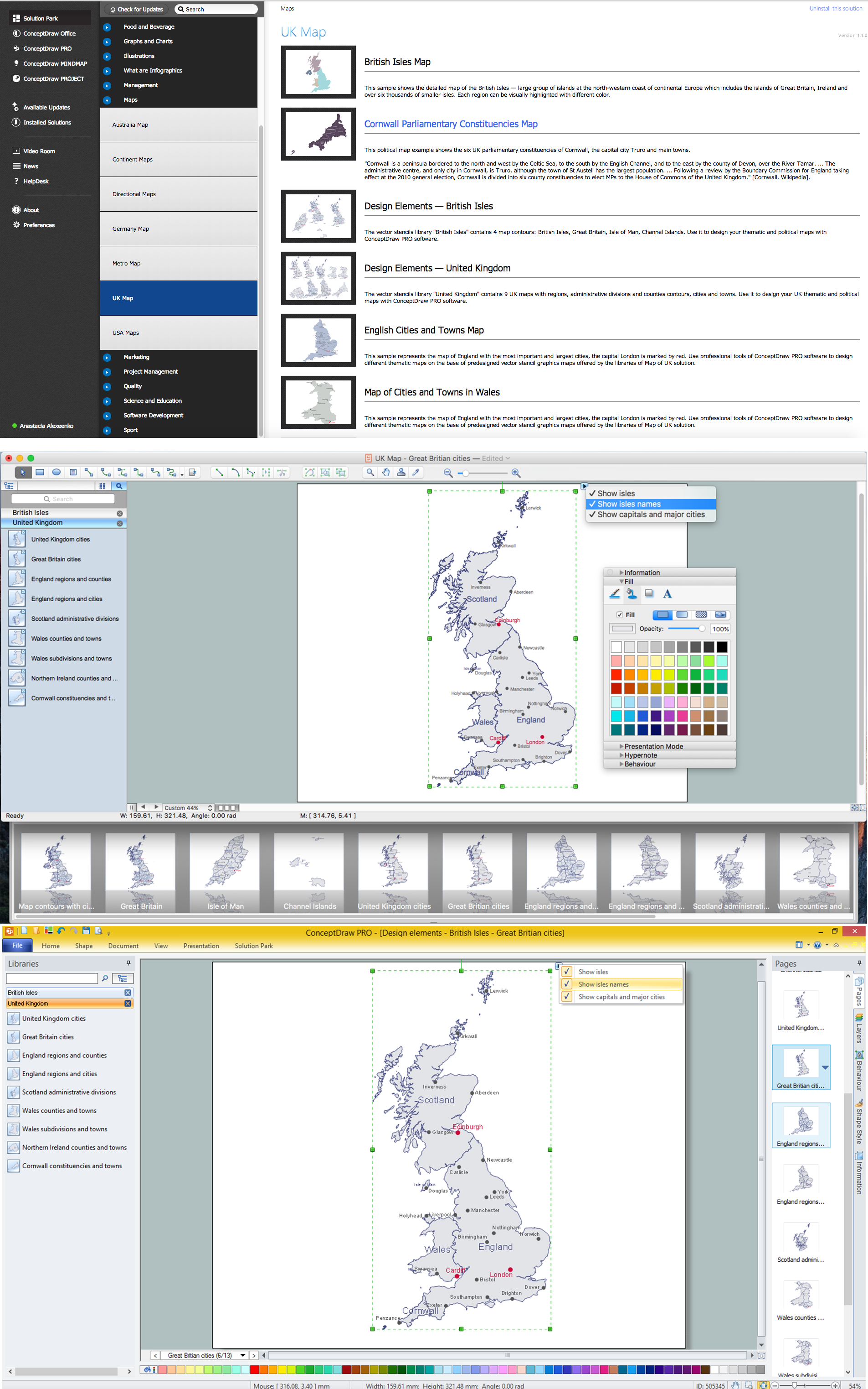
 UK Map
The Map of UK solution contains collection of professionally designed samples and scalable vector stencil graphics maps, representing the United Kingdom counties, regions and cities. Use the Map of UK solution from ConceptDraw Solution Park as the base fo
This map example shows Northern Ireland counties borders. You can also show cities and towns by using Action menu command.
"The counties of Northern Ireland were the principal local government divisions of Northern Ireland from its creation in 1921 until 1972, when their governmental features were abolished and replaced with twenty-six unitary authorities.
In total Northern Ireland consisted of six counties: Antrim, Armagh, Down, Fermanagh, Londonderry and Tyrone. These form two-thirds of the historical province of Ulster." [Counties of Northern Ireland. Wikipedia]
The map example "Northern Ireland counties map" was drawn using ConceptDraw PRO software extended with the Map of UK solution from the Maps area of ConceptDraw Solution Park.
Northern Ireland ciities and towns map
United Kingdom Cities
Map of UK — Northern Ireland
UK Map

Map of UK — Great Britain Cities
Map of Germany

Map of England

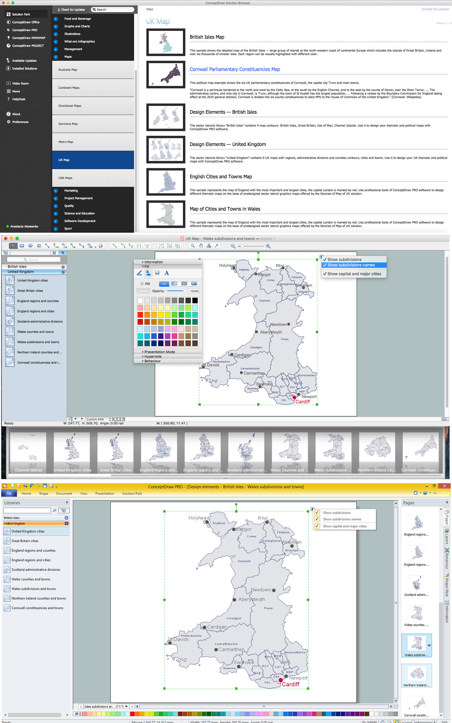
Map of UK — Wales Subdivisions and Towns
- Northern Ireland cities and towns map | Northern Ireland counties ...
- Northern Ireland cities and towns map | UK Map | Northern Ireland ...
- Geo Map - Europe - Ireland | Northern Ireland cities and towns map ...
- Northern Ireland cities and towns map
- Map of UK — Northern Ireland | Northern Ireland cities and towns ...
- Uk Cities And Towns Map
- Map of UK — Great Britain Cities | UK Map | United Kingdom Cities ...
- UK Map | Map of England | English cities and towns map | Map Of ...
- Northern Towns In England Map
- How To Draw Map Of Ireland Step By Step