Geo Map - Africa

Geo Map - Africa - Western Sahara

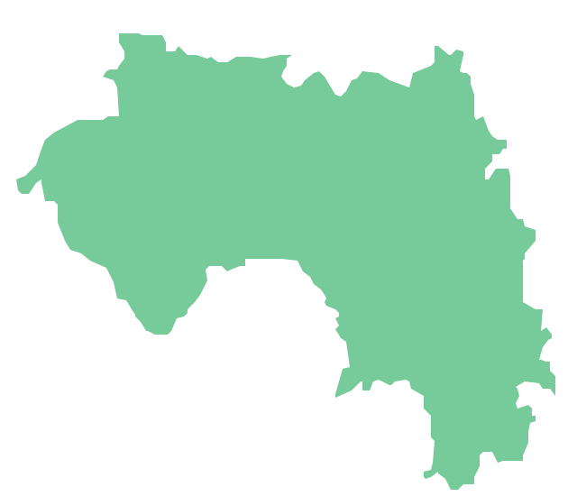
Geo Map - Africa - Guinea
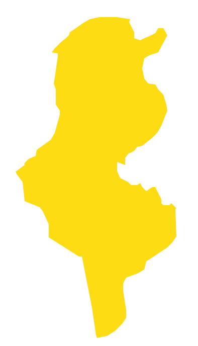
Geo Map - Africa - Tunisia
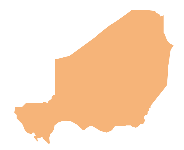
Geo Map - Africa - Niger
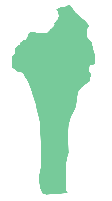
Geo Map - Africa - Benin
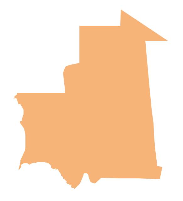
Geo Map - Africa - Mauritania
Geo Map - Africa - Senegal

Geo Map - Africa - Guinea Bissau
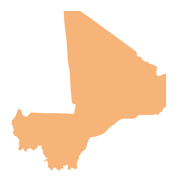
Geo Map - Africa - Mali
- West Africa countries | Geo Map - Africa | Geo Map - Africa - Senegal ...
- West Africa countries | Geo Map - Africa | Geo Map - Africa - Western ...
- East Africa - Political map | West Africa countries | Geo Map - Africa ...
- Maghreb countries - Political map | Map Of The Maghreb
- West Africa Countries Map
- West Africa countries | Geo Map - Africa | Geo Map - Africa - Ghana ...
- Geo Map - Africa - Nigeria
- Maghreb countries - Political map | West Africa countries ...
- Geo Map - Africa - Ghana | West Africa countries | Geo Map - Africa ...
- Geo Map - Africa - Nigeria | West Africa countries | Geo Map - Africa ...