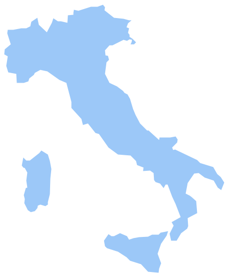
Geo Map - Europe - Italy
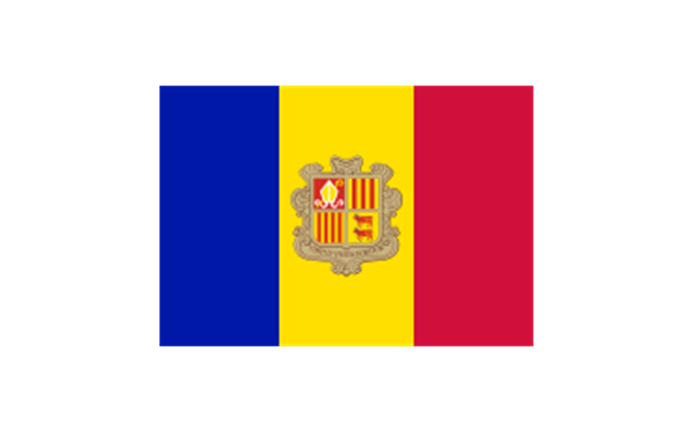
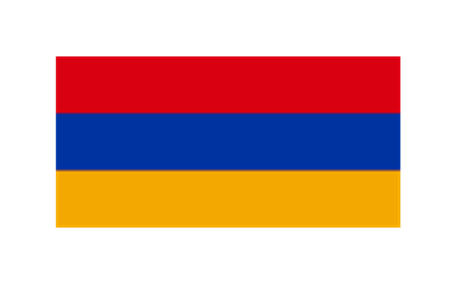
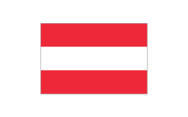
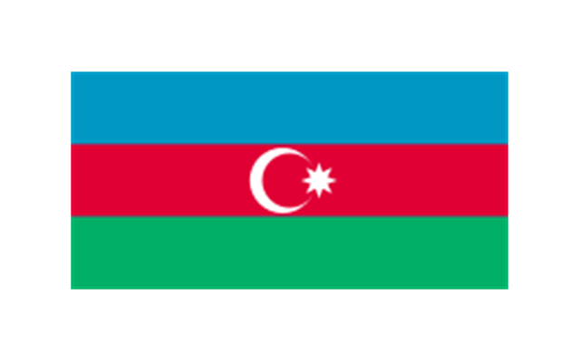
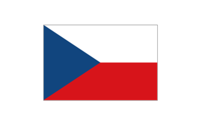
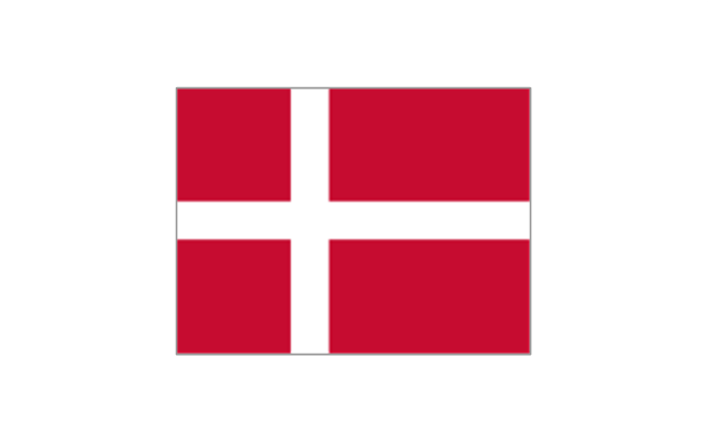
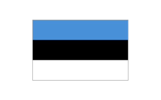
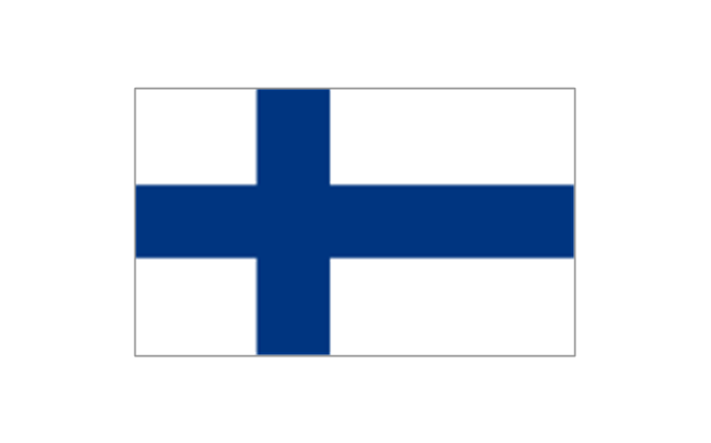
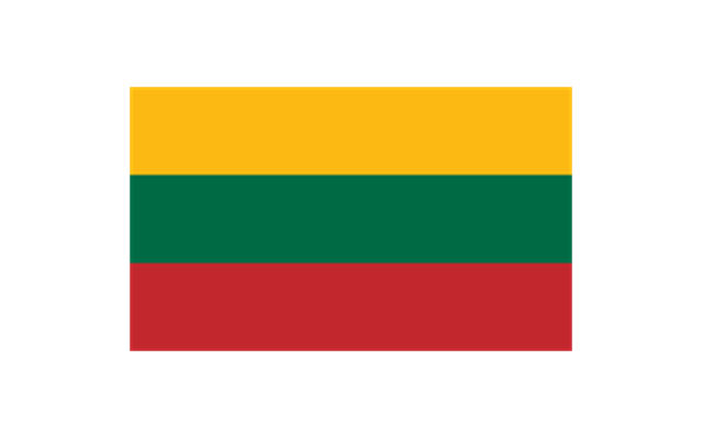
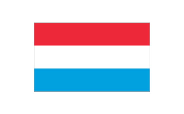
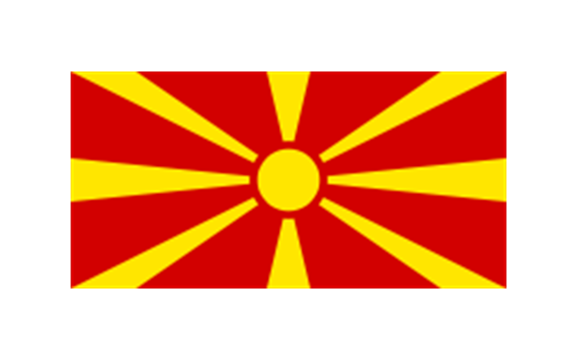
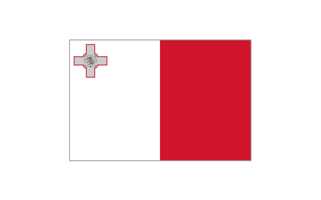
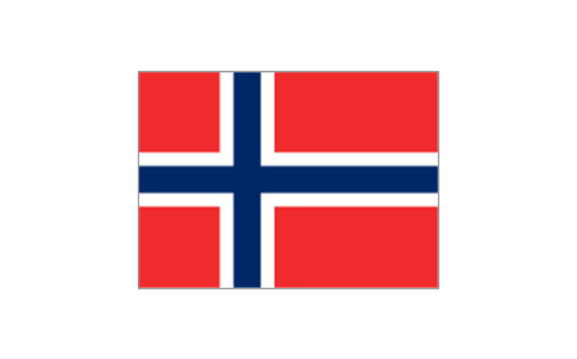
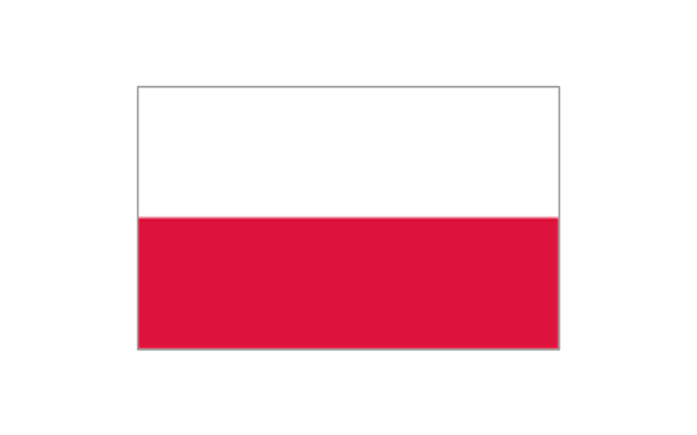
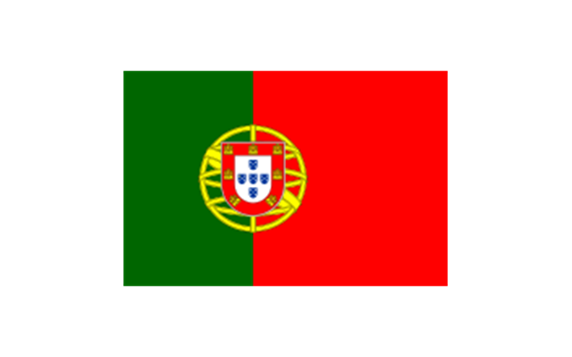
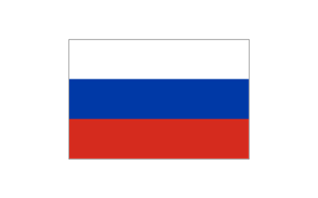
The stencils library "Europe flags" contains 51 clipart images of Europe state flags: supranational and international flags, flags of European countries.
The clip art example "Europe flags - Stencils library" was created using the ConceptDraw PRO diagramming and vector drawing software extended with the Continent Maps solution from the Maps area of ConceptDraw Solution Park.
www.conceptdraw.com/ solution-park/ maps-continent
The clip art example "Europe flags - Stencils library" was created using the ConceptDraw PRO diagramming and vector drawing software extended with the Continent Maps solution from the Maps area of ConceptDraw Solution Park.
www.conceptdraw.com/ solution-park/ maps-continent
European Union
Benelux
Albania
Andorra
Armenia
Austria
Azerbaijan
Belarus

Belgium

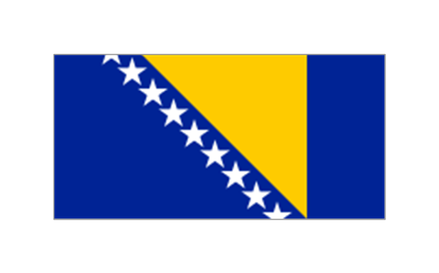
Bosnia and Herzegovina
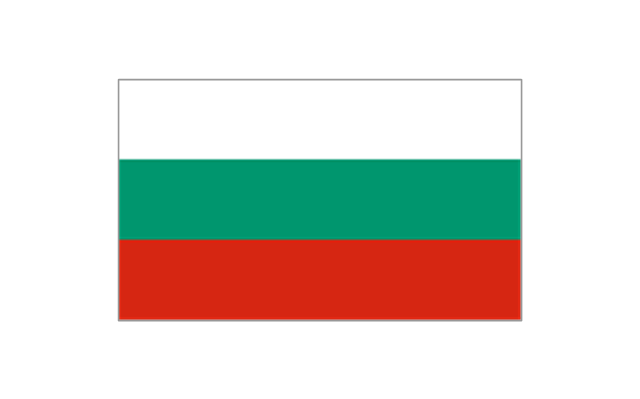
Bulgaria
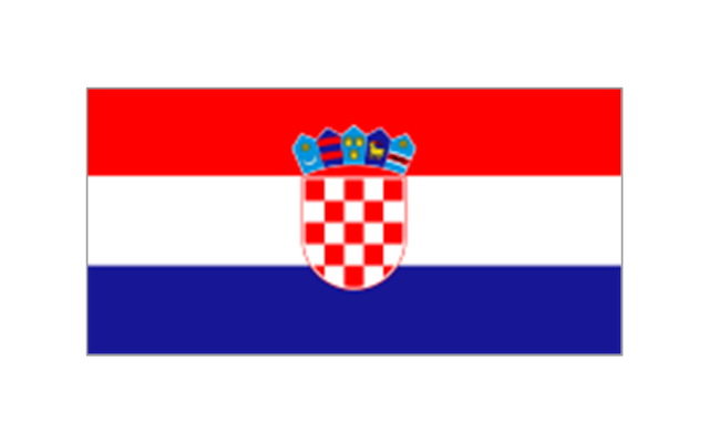
Croatia
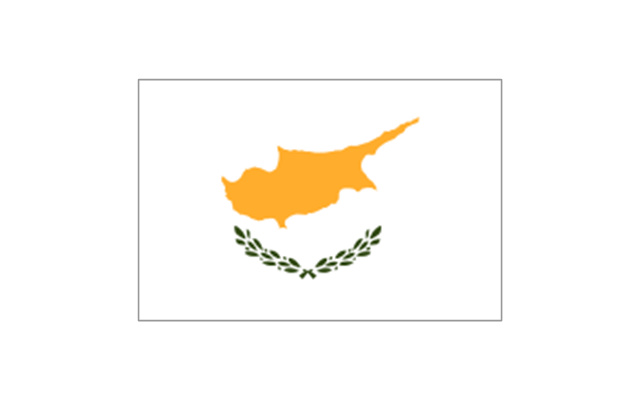
Cyprus
Czech Republic
Denmark
Estonia
Finland
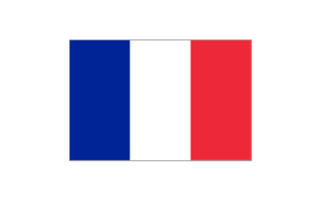
France
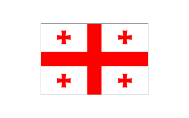
Georgia
Germany

Greece

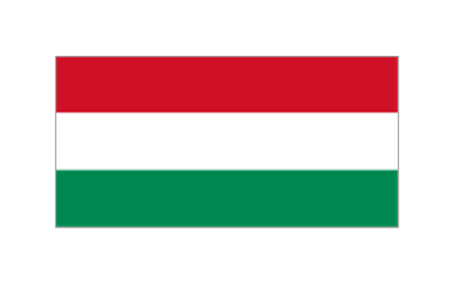
Hungary
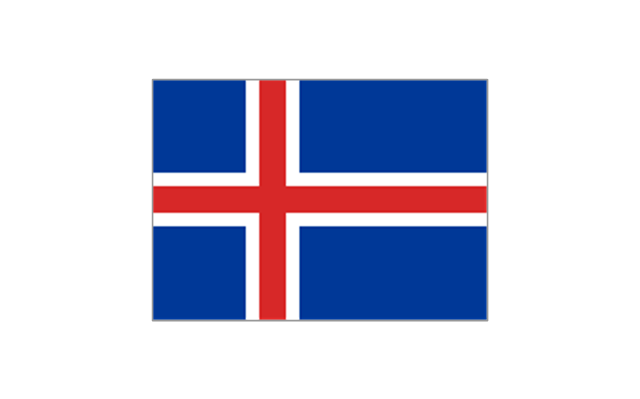
Iceland
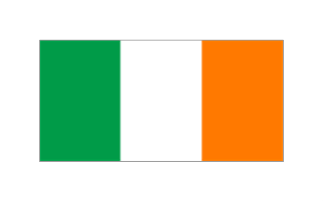
Ireland
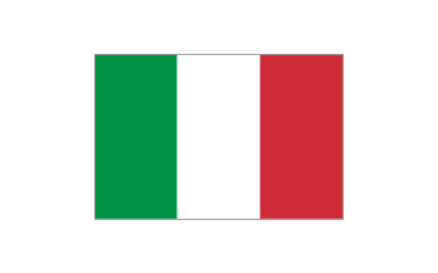
Italy
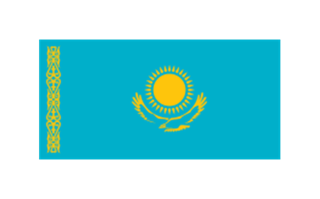
Kazakhstan
Latvia

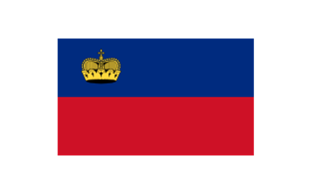
Liechtenstein
Lithuania
Luxembourg
Republic of Macedonia
Malta
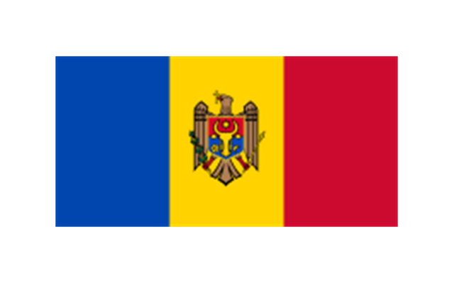
Moldova
Monaco
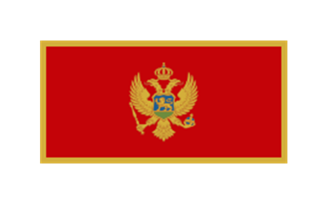
Montenegro
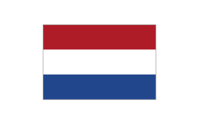
Netherlands
Norway
Poland
Portugal
Romania

Russia
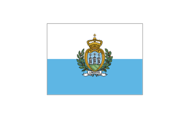
San Marino
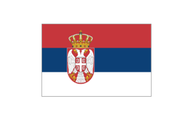
Serbia
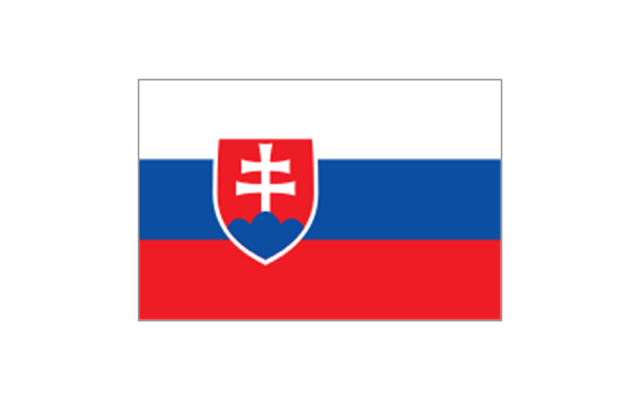
Slovakia
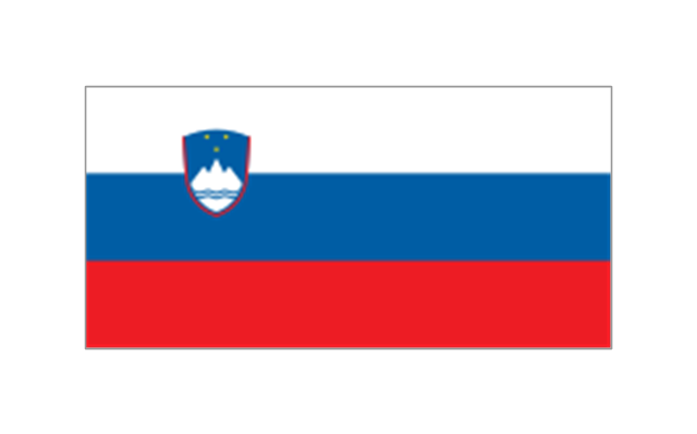
Slovenia
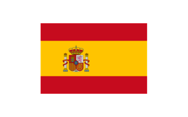
Spain
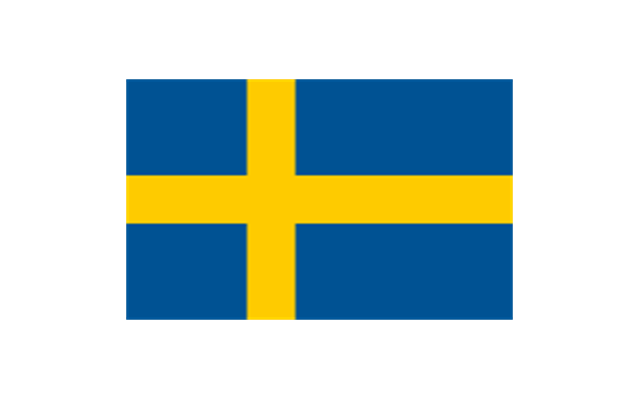
Sweden
Switzerland

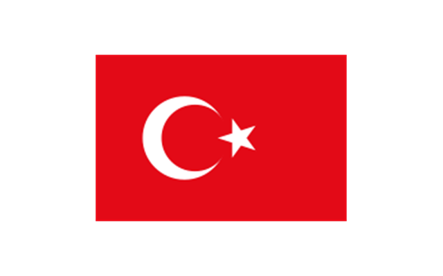
Turkey
Ukraine

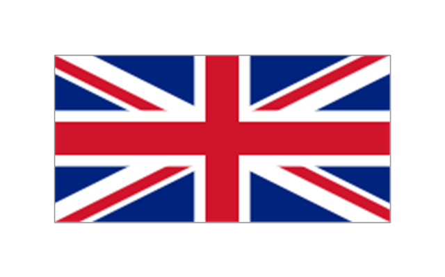
United Kingdom
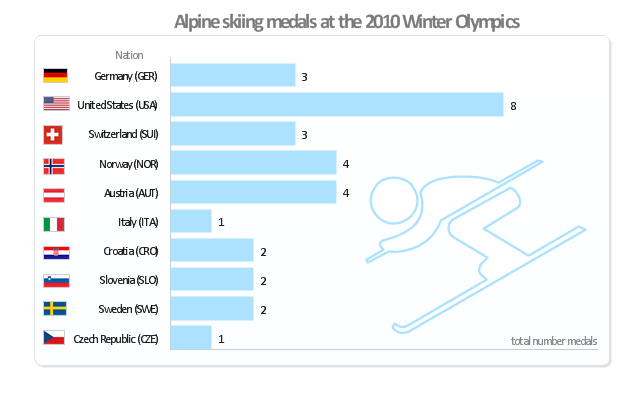
"Alpine skiing at the 2010 Winter Olympics was held at Whistler Creekside in Whistler, British Columbia, Canada. The ten events were scheduled for 13–27 February, 2010; weather delayed the first event, the men's downhill, two days until Monday, 15 February. ... Notably absent from the medals in these Olympics were the Austrian men, who had won 8 medals in 2006 and 7 in 2002. France and host Canada were shut out from the podium, as were the German men and the Swiss and Italian women. The U.S. had its best Olympics ever with eight alpine medals, only the fourth nation to achieve that total in a single Olympics (Austria, France, Switzerland). Individually, three men and five women won multiple medals; triple medalists were Bode Miller of the U.S. and Aksel Lund Svindal of Norway, who both won a medal of each color. The sole double gold medalist was Maria Riesch of Germany." [Alpine skiing at the 2010 Winter Olympics. wikipedia]
This medal bar chart example "Alpine skiing at the 2010 Winter Olympics" was created using the ConceptDraw PRO diagramming and vector drawing software extended with the Winter Sports solution.
The Winter Sports solution from the Sport area of ConceptDraw Solution Park contains the vector stencils library "Winter sports pictograms" and examples of diagrams and infographics.
Medal bar chart
Geo Map — Europe — France

Geo Map - Africa

- Geo Map - Europe - Sweden | Europe flags - Stencils library | Geo ...
- Geo Map - Europe - Austria | Design elements - Europe flags | Geo ...
- Geo Map - Asia - India | Geo Map - Asia - Papua New Guinea | Flags ...
- Europe flags - Stencils library | Political map of Europe | Map ...
- Geo Map - Europe - Netherlands | 2014 FIFA World Cup - Standings ...
- Sandwich Clipart
- Soccer (Football) Offside | Soccer (Football) Formation | Soccer ...
- Diagrams Of National Flags
- Soccer (Football) Positions
- Geo Map - Europe - Slovakia | Europe - Vector stencils library | Geo ...